





Camino Real de Tierra Adentro
Camino Real de Tierra Adentro

World Heritage
Patrimonio mundial
Cultural
Cultural route
Used between the 16th and 19th centuries, this road was used to transport silver extracted from the mines of Zacatecas, Guanajuato and San Luis Potosí, as well as mercury imported from Europe. Although its origin and use are linked to mining, the Camino Real de Tierra Adentro also fostered the establishment of social, cultural and religious links between Hispanic and Amerindian cultures.
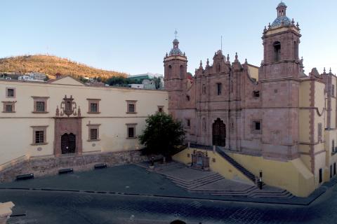
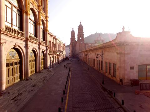
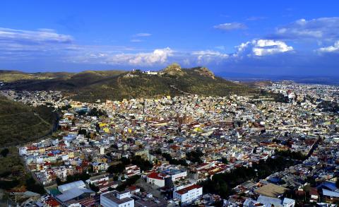
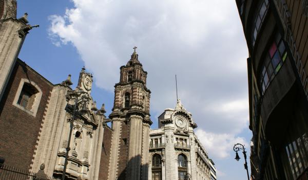
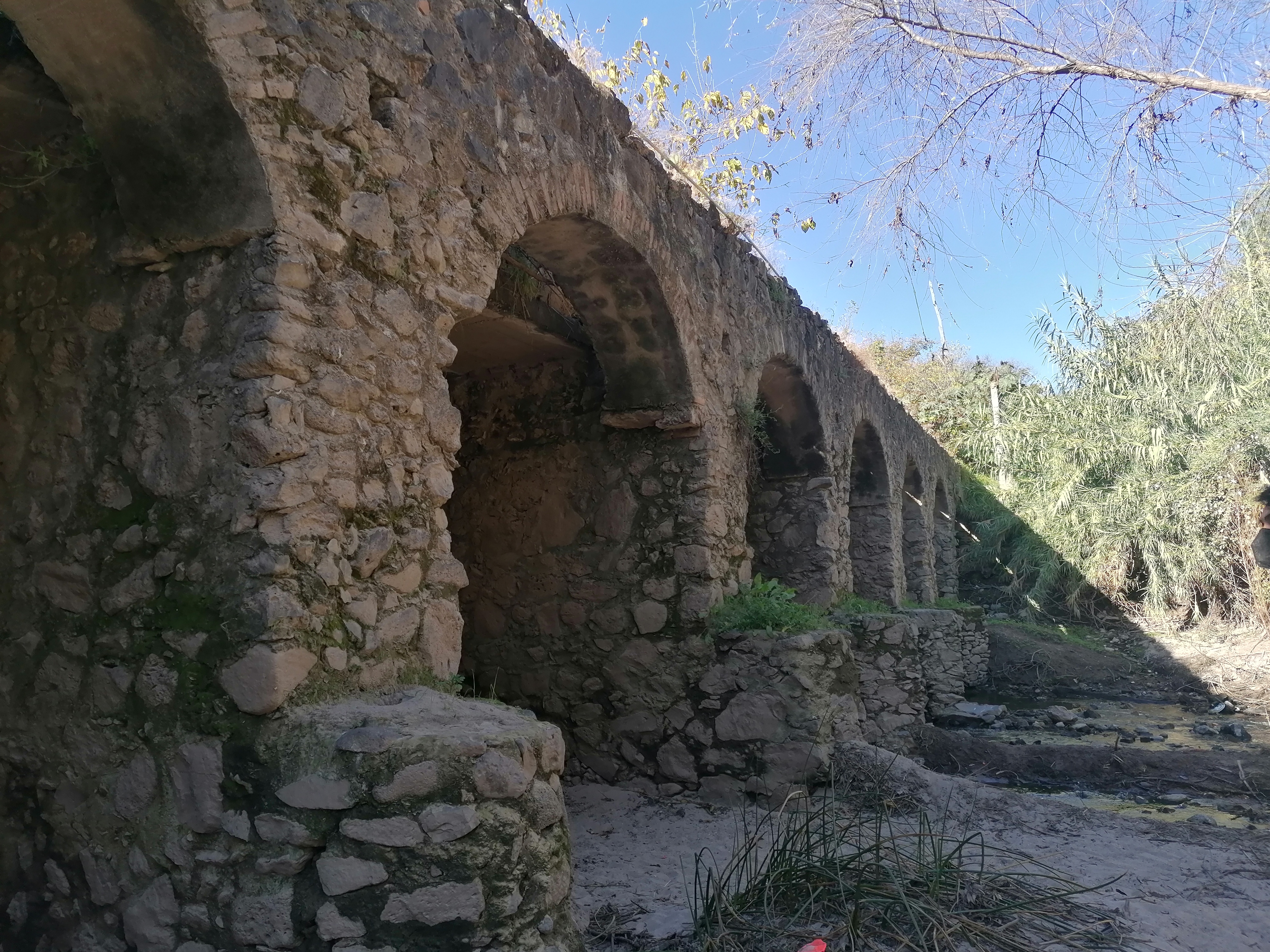
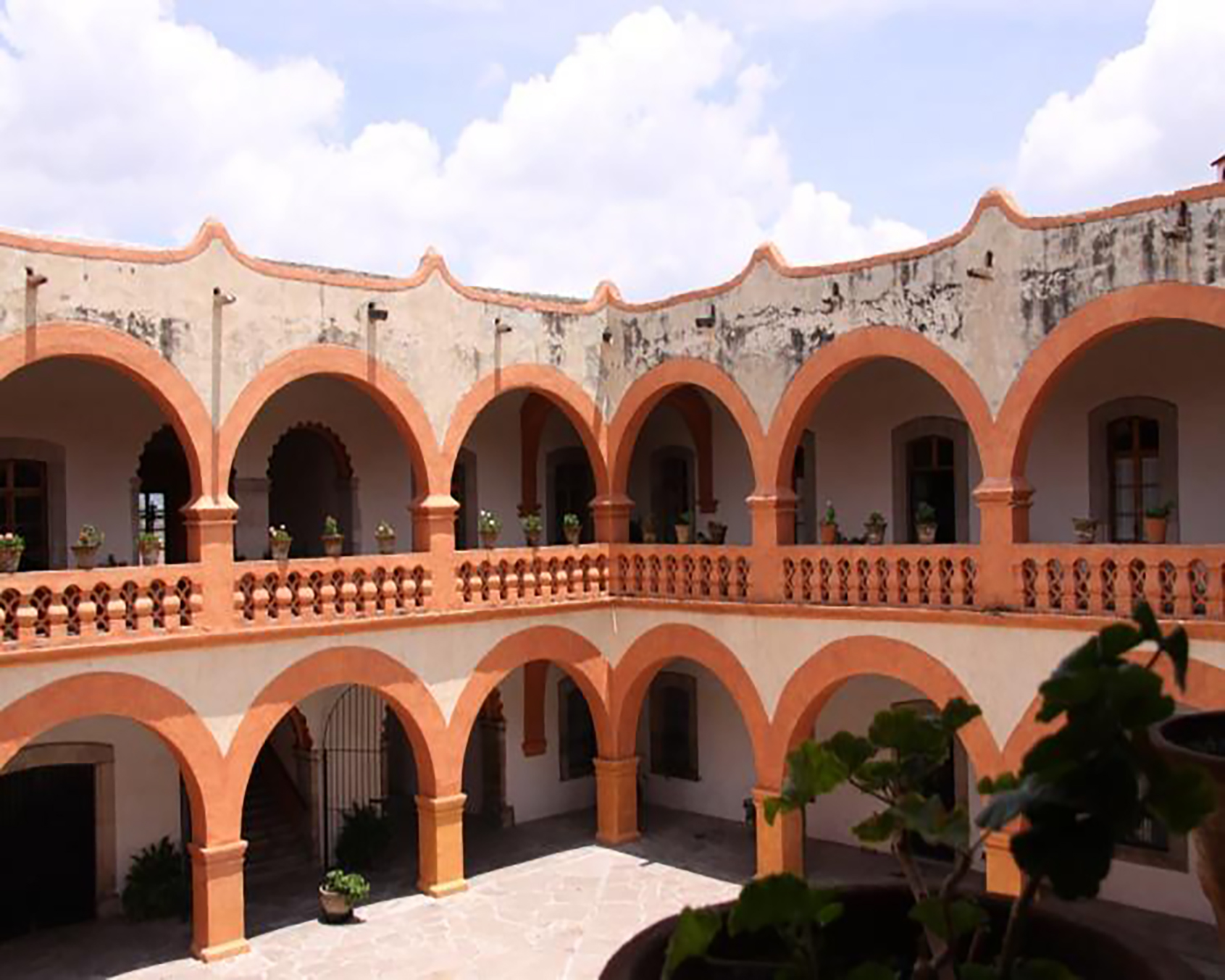
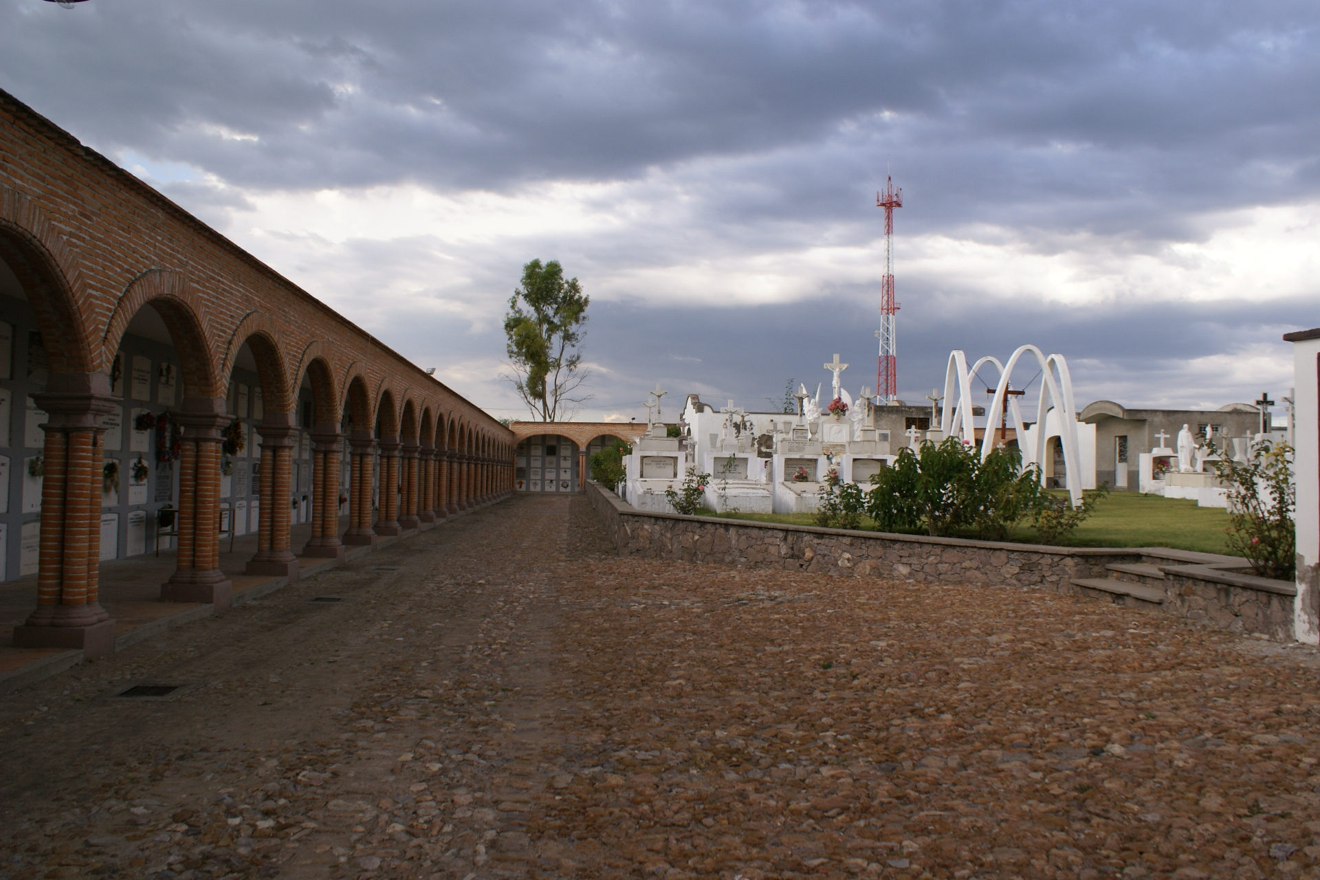
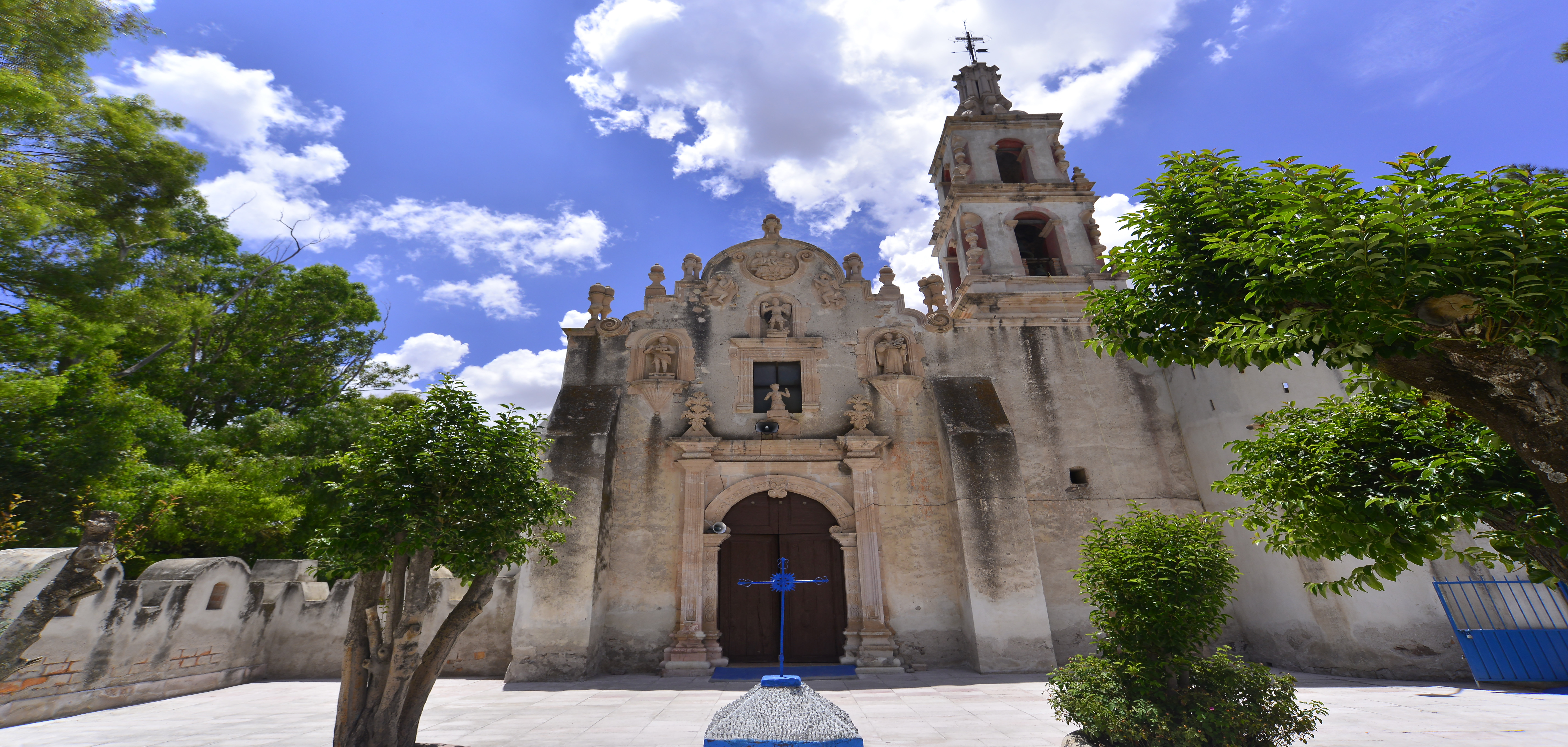
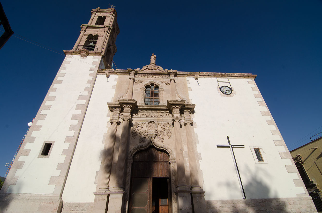
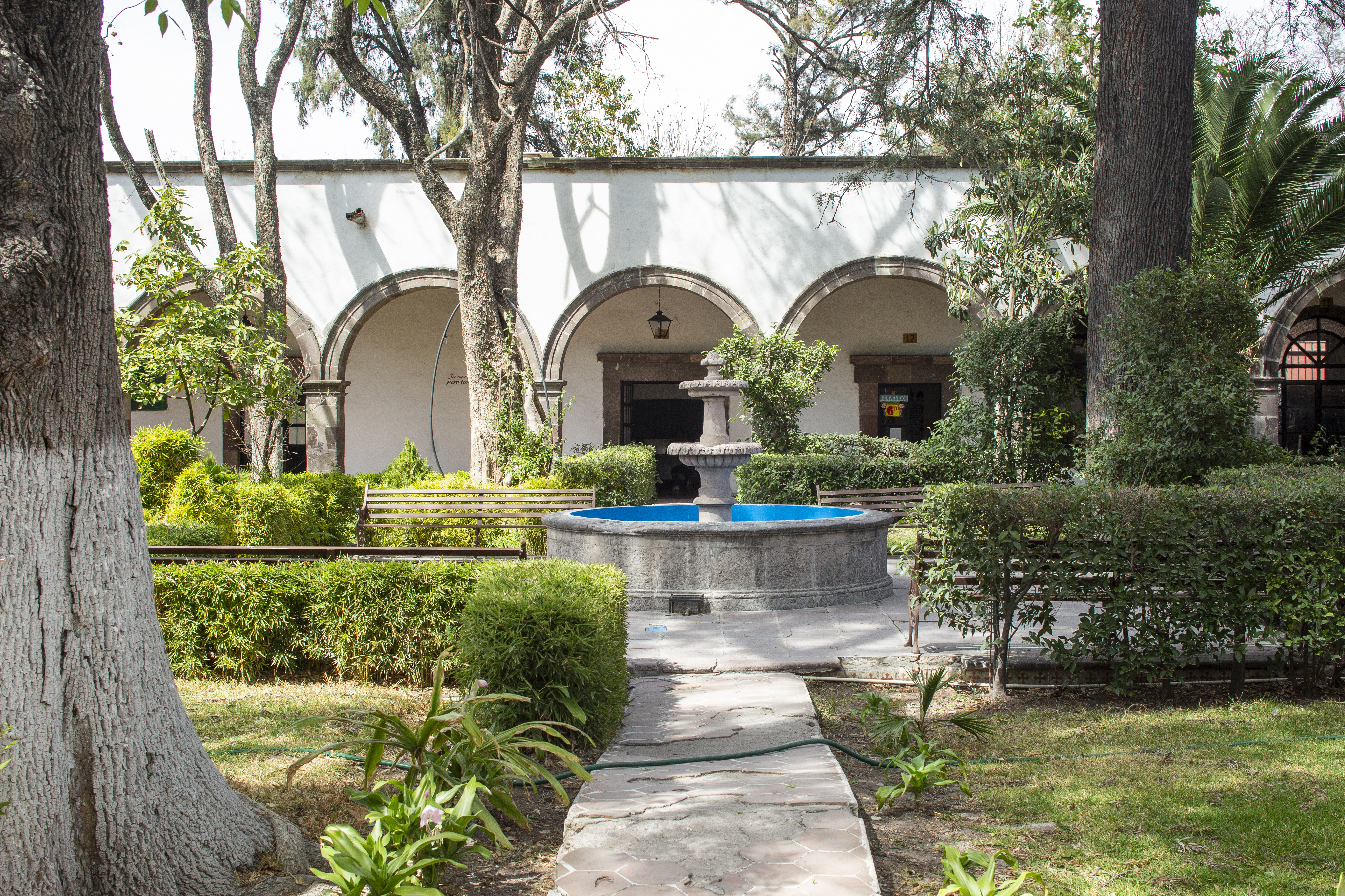
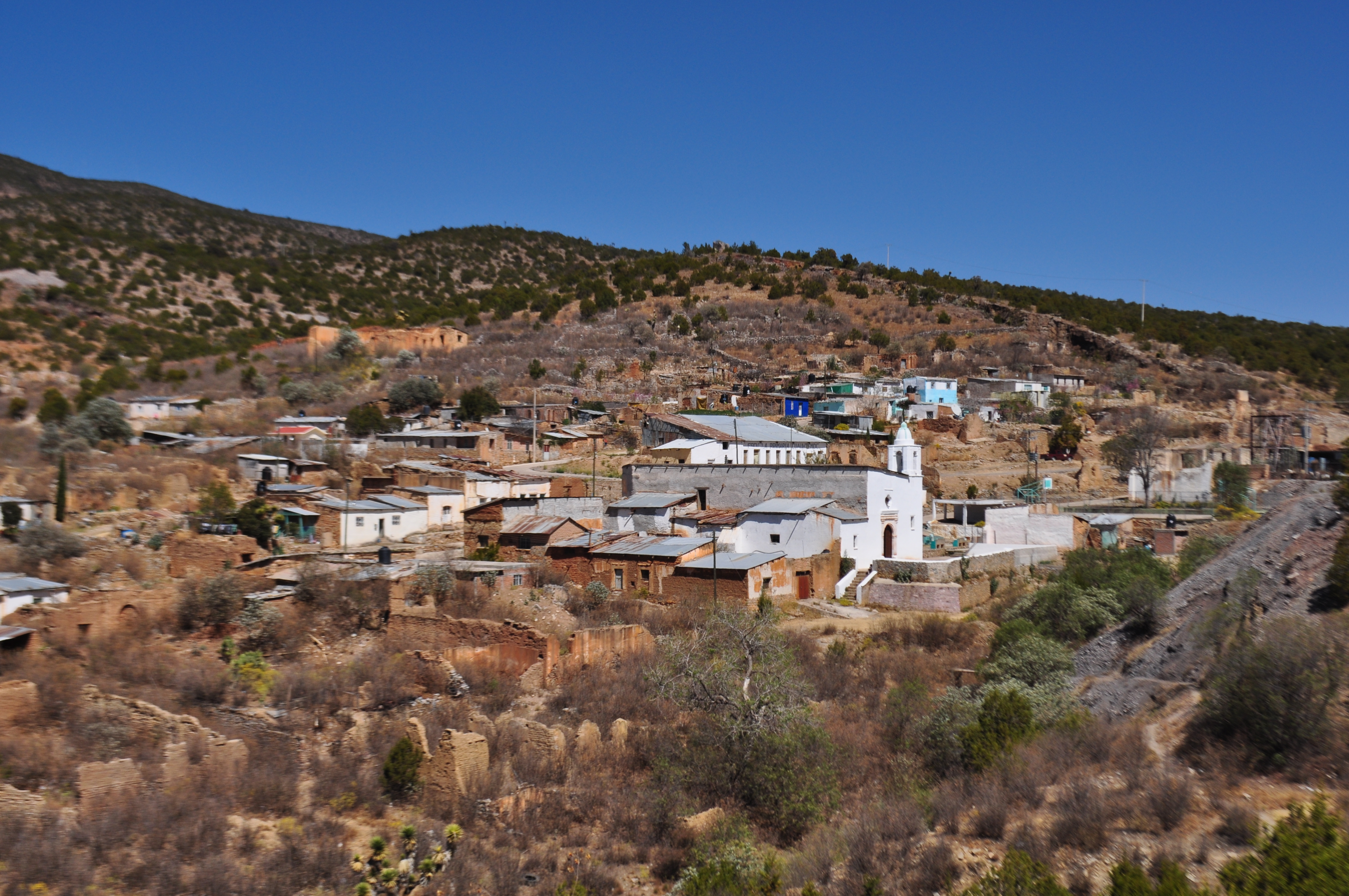
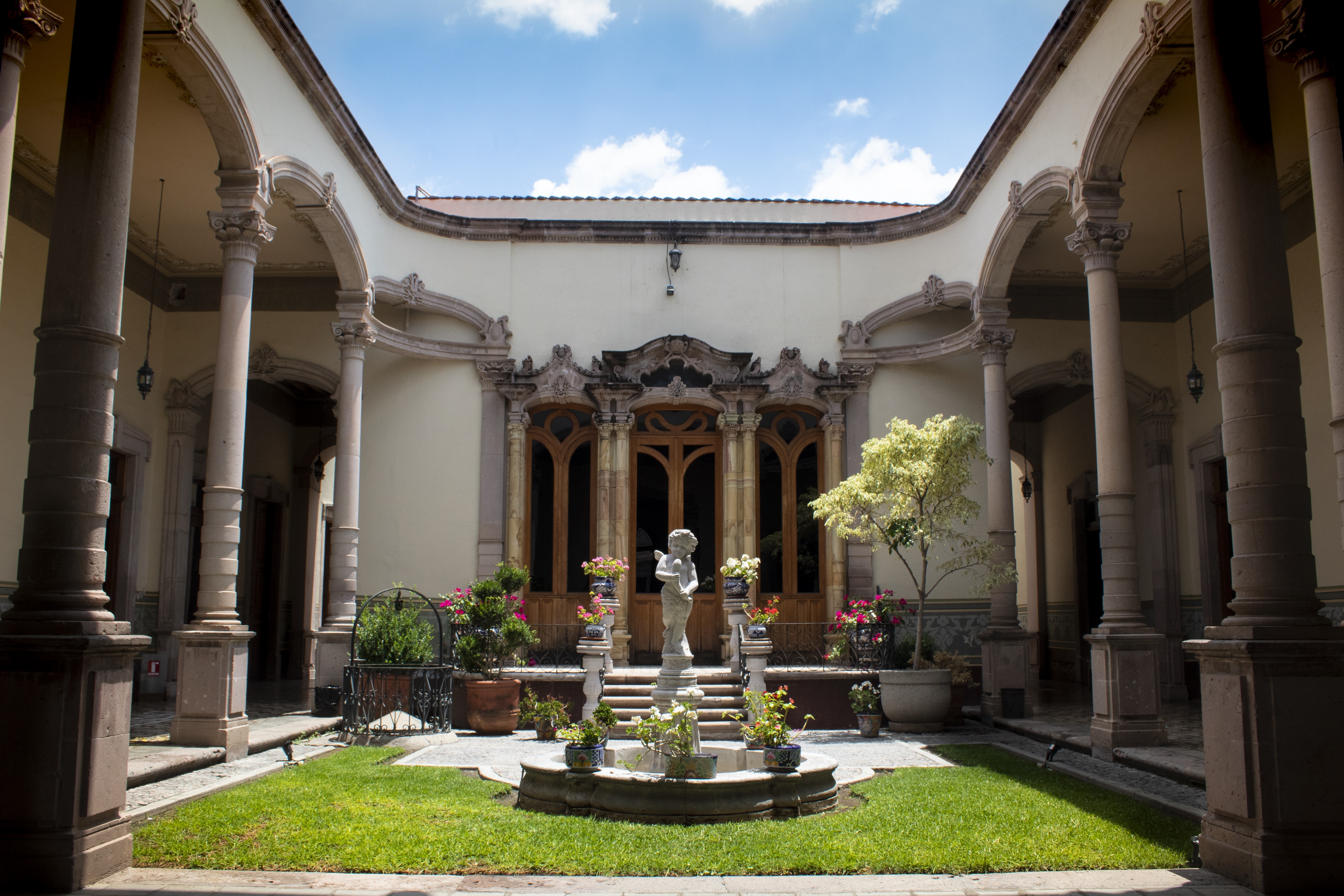
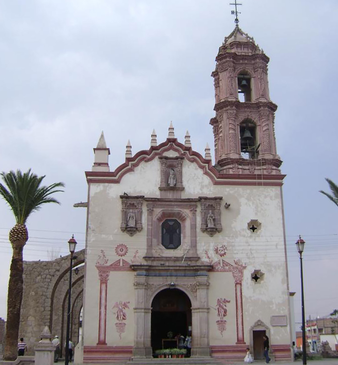
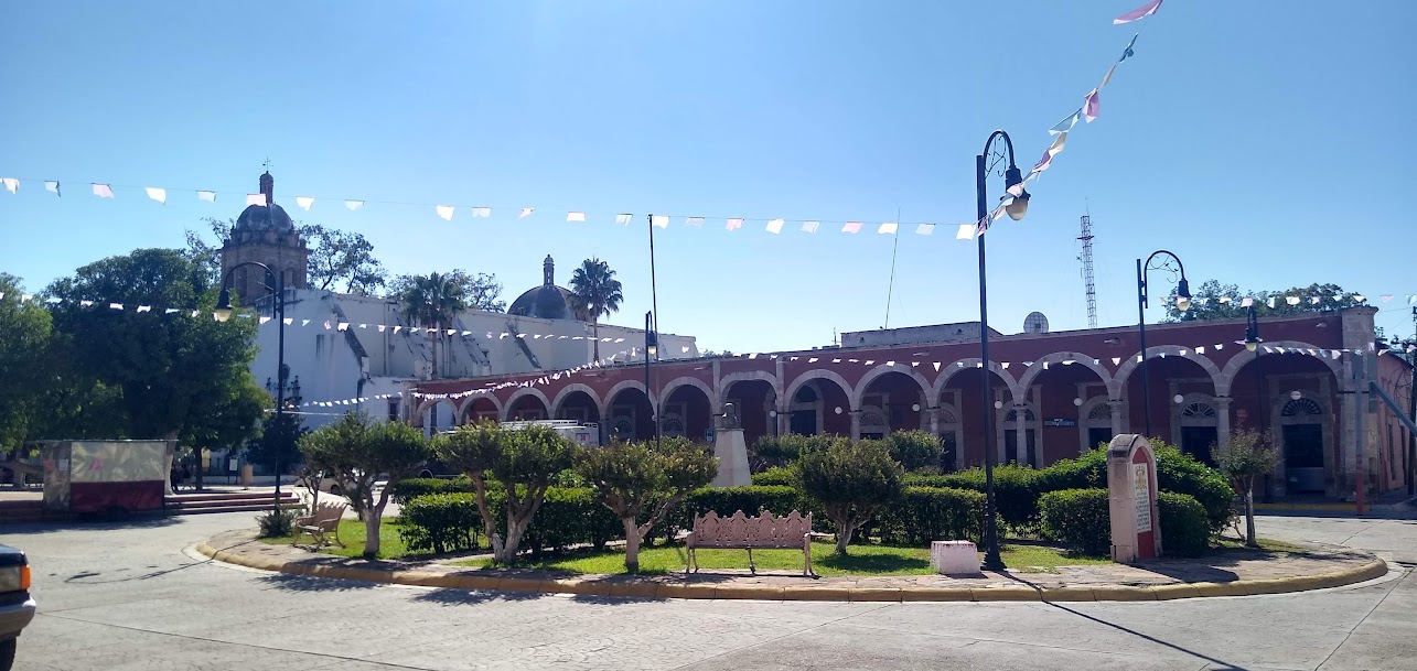
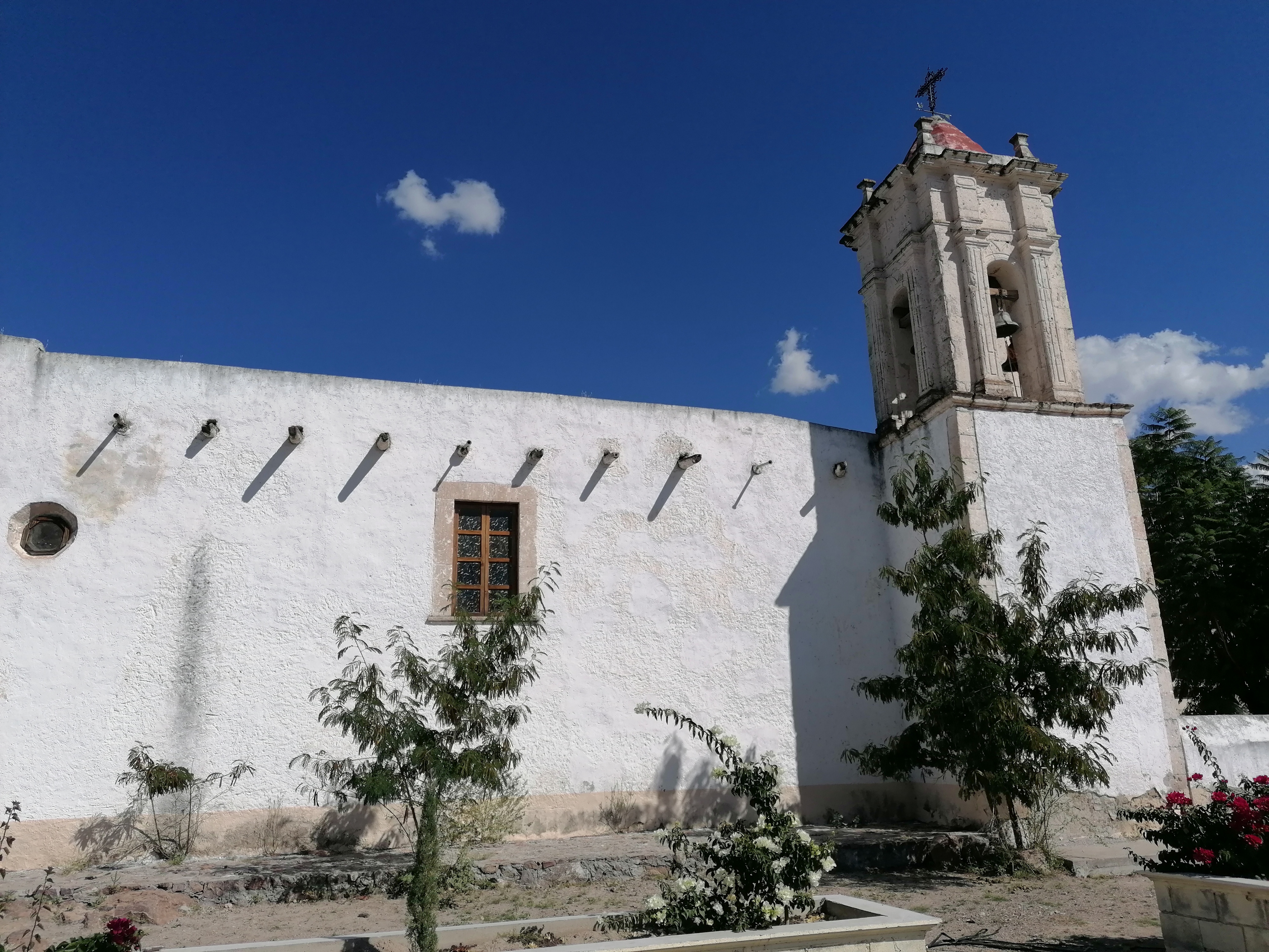
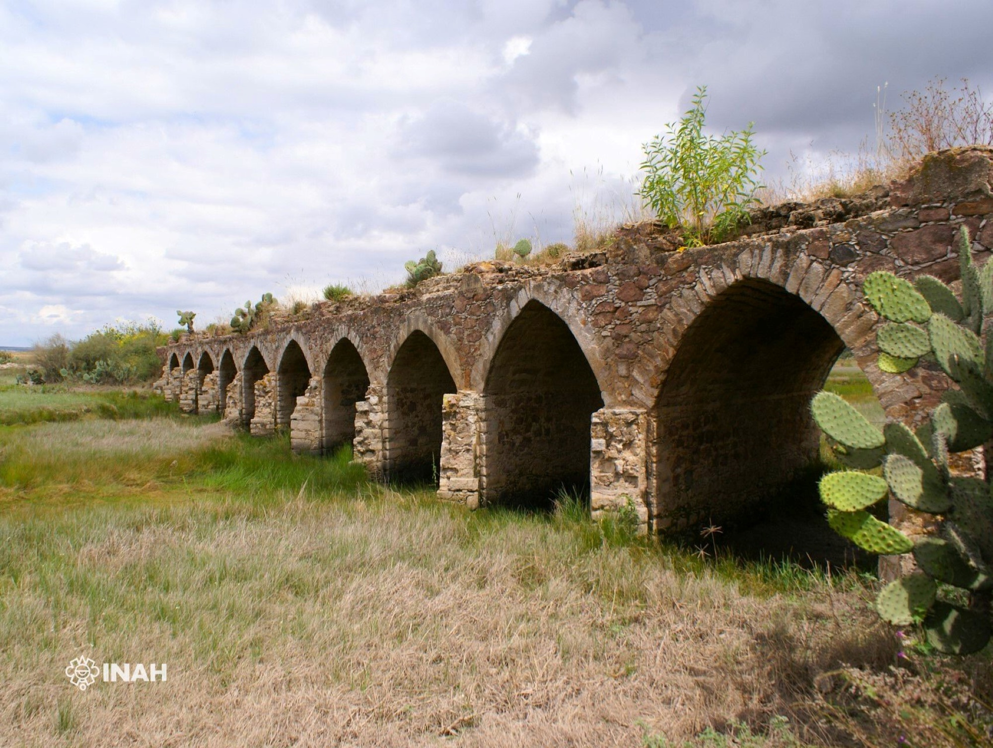
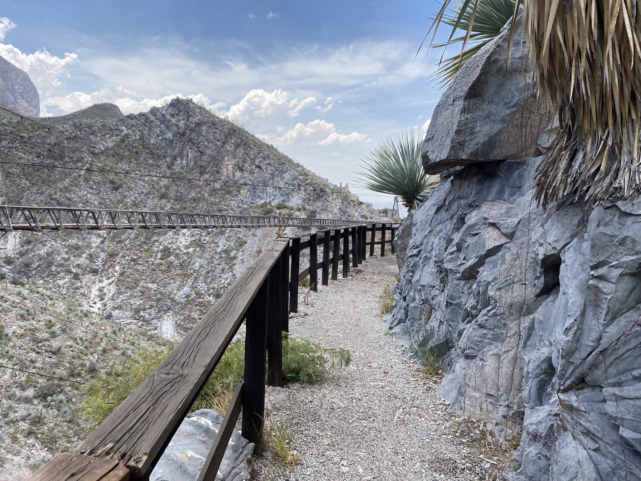
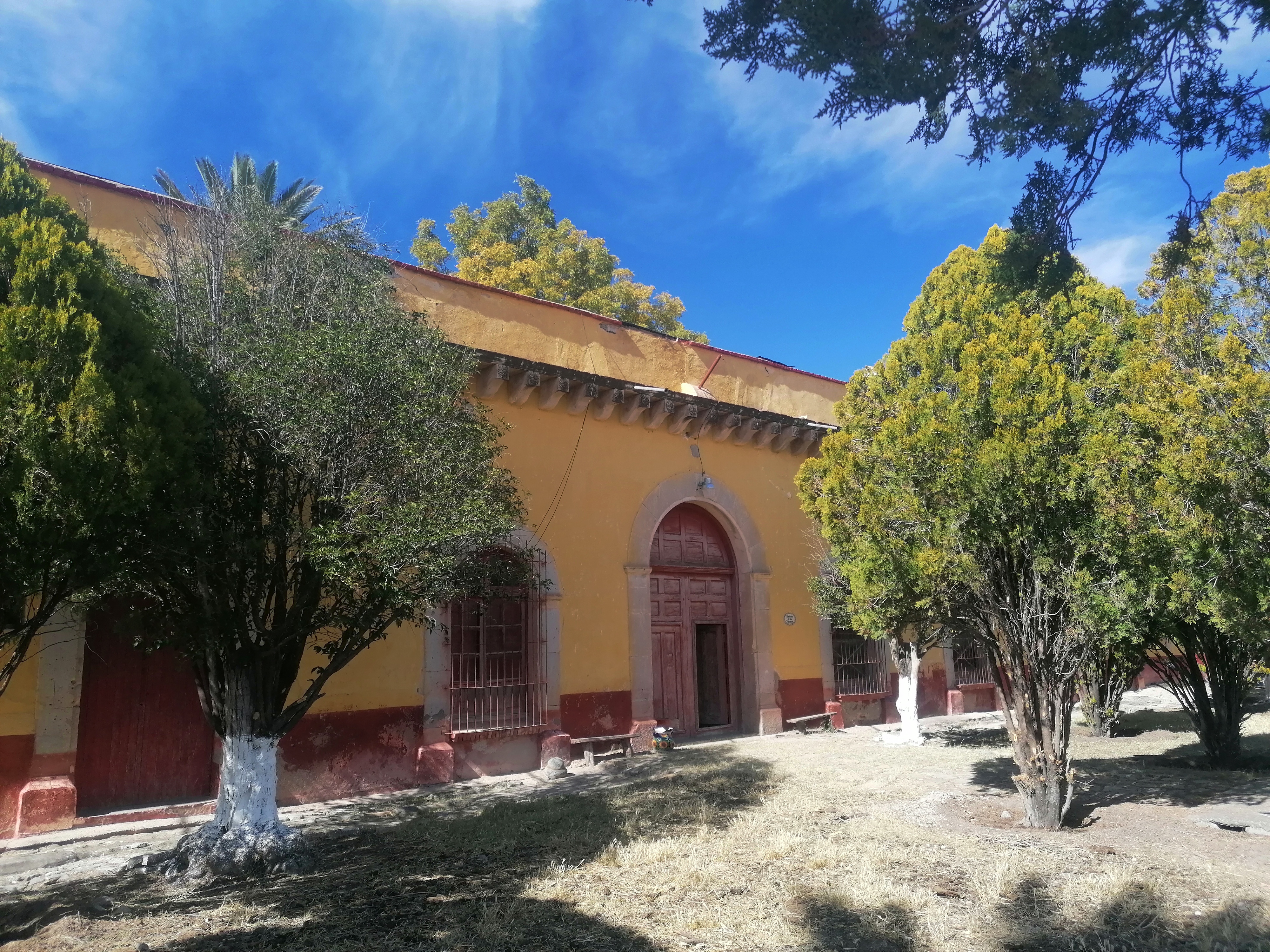
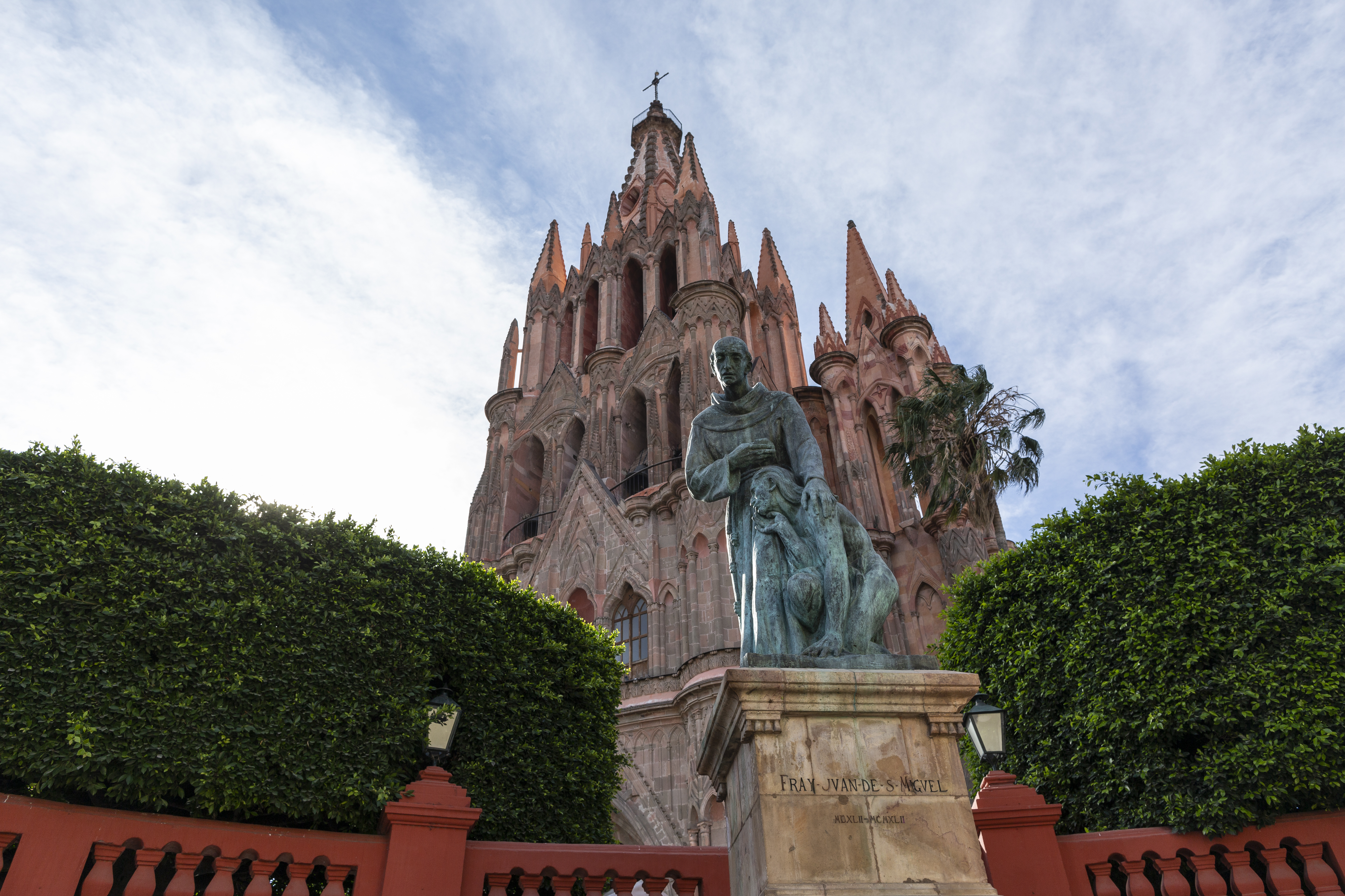
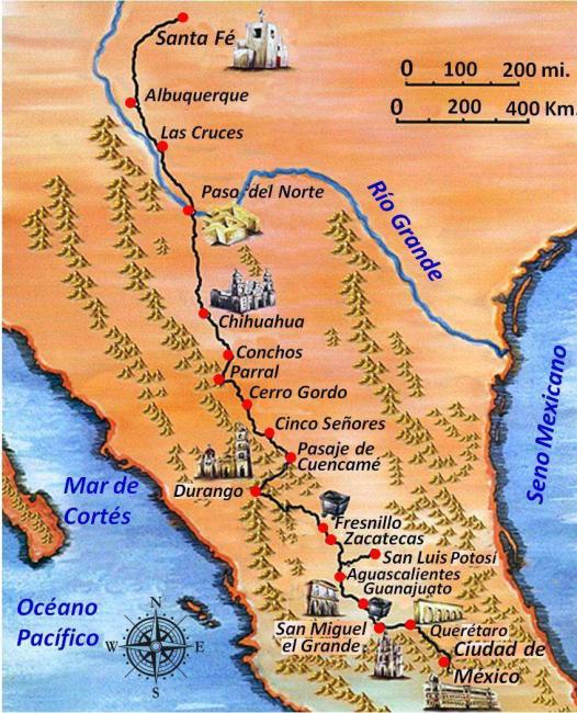
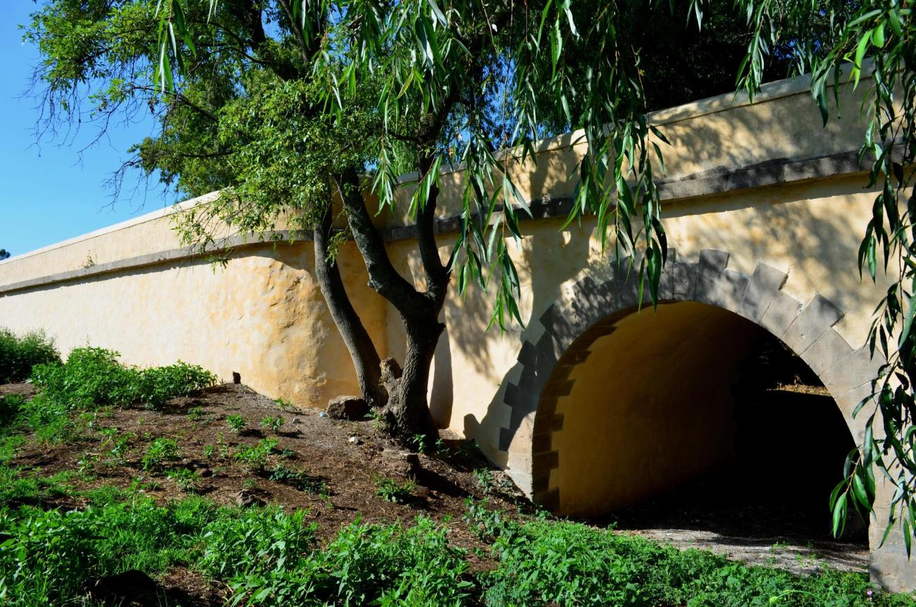
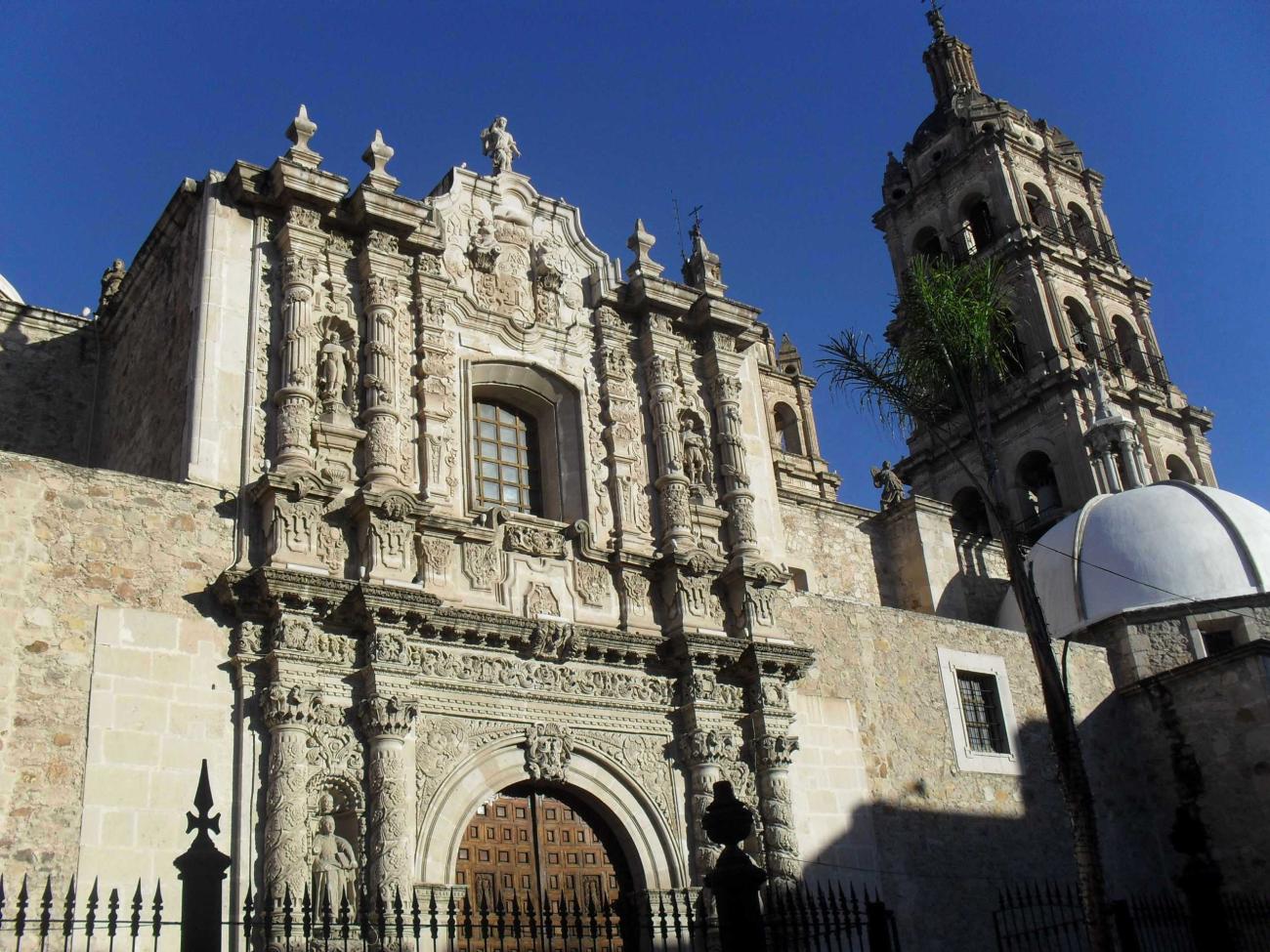
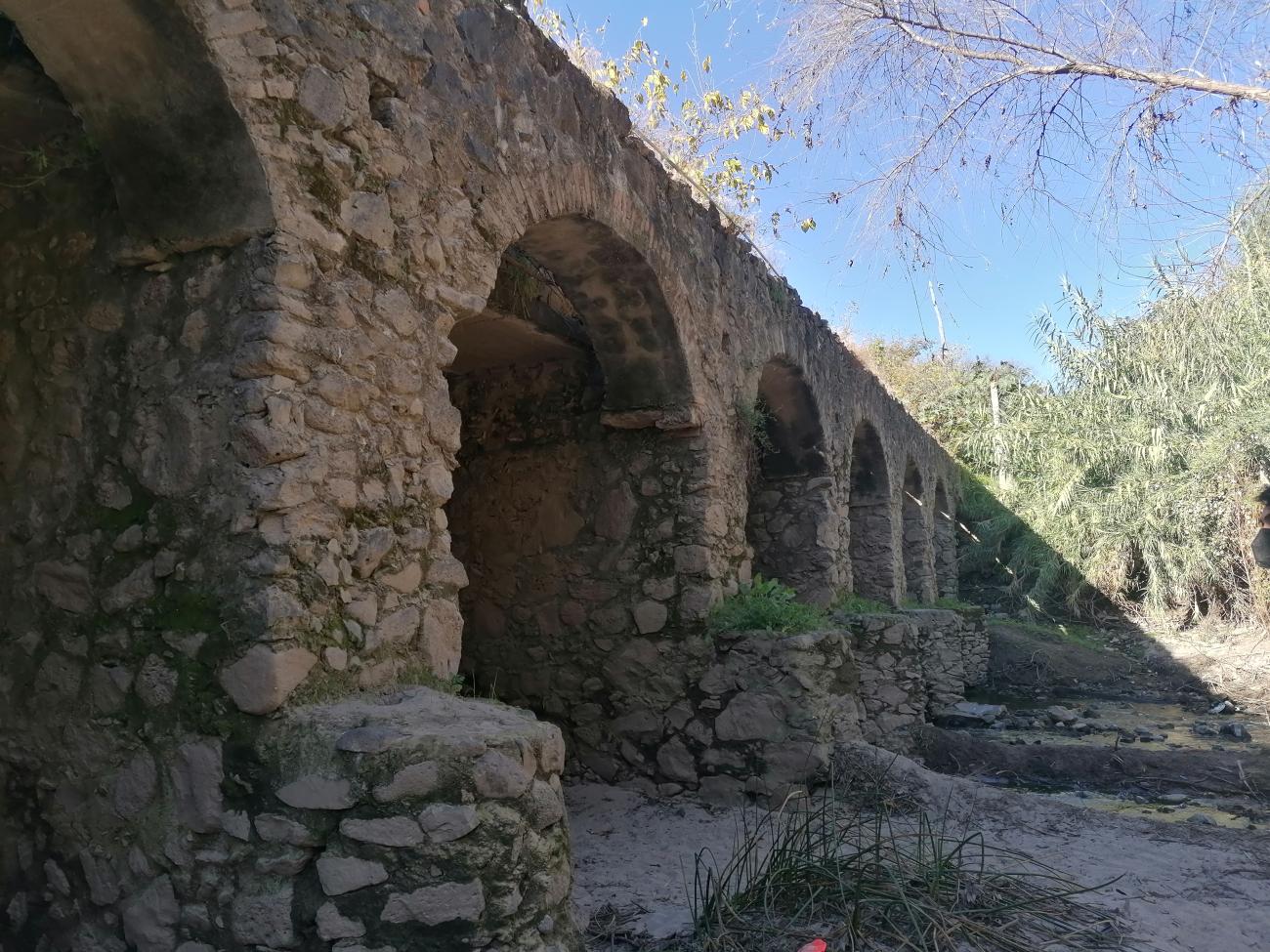
The Camino Real de Tierra Adentro constitutes a part of the Spanish Intercontinental Royal Route from Mexico City to Santa Fe. The property, consists of five existing urban World Heritage sites and 55 other sites related to the use of the road, such as bridges, former haciendas, historic centres/towns, a cemetery, former convents, a mountain range, stretches of road, a mine, chapels/temples and caves within a 1,400 km stretch of the road between Mexico City and the Town of Valle de Allende.
The Camino was an extraordinary phenomenon as a communication channel. Silver was the driving force that generated the wealth and commitment of the Spanish Government and the will of colonists to ‘open up’ the northern territory for mining, to establish the necessary towns for workers and to build the forts, haciendas, and churches.
The outcome of this highly profitable process was the development of mines, and the construction of the road and bridges, the establishment of multi-ethnic towns, with elaborate buildings that reflect a fusion of Spanish and local decoration, an agricultural revolution in the countryside centered on large hacienda estates with churches, and the movement of peoples up and down the road, facilitated to a great degree initially by settlements of muleteers, all of which led to the development of a distinctive culture along the route.
Ultimately the wealth of silver led to massive economic development in Spain and other parts of Europe and a period of great economic inflation. The impact of the road was enormous in terms of social tensions as well as ultimately social integration between the many people that came to be involved in the economic development. The structures in the property together reflect some aspects of this interchange of ideas and people along the southern stretch of the road.
Declaratoria UNESCO

Patrimonio Cultural
Categoría Cultural route
Fecha 01-08-2010
Criterios de valor Universal Excepcional
Este lugar cumple con los siguientes criterios de valor Universal Excepcional
(ii)
To exhibit an important interchange of human values, over a span of time or within a cultural area of the world, on developments in architecture or technology, monumental arts, town-planning or landscape design.
(iv)
To be an outstanding example of a type of building, architectural or technological ensemble or landscape which illustrates (a) significant stage(s) in human history.
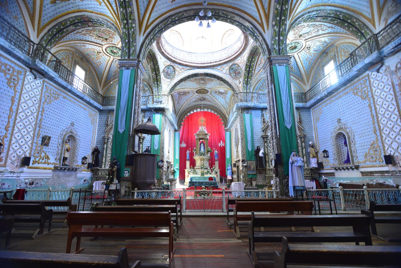
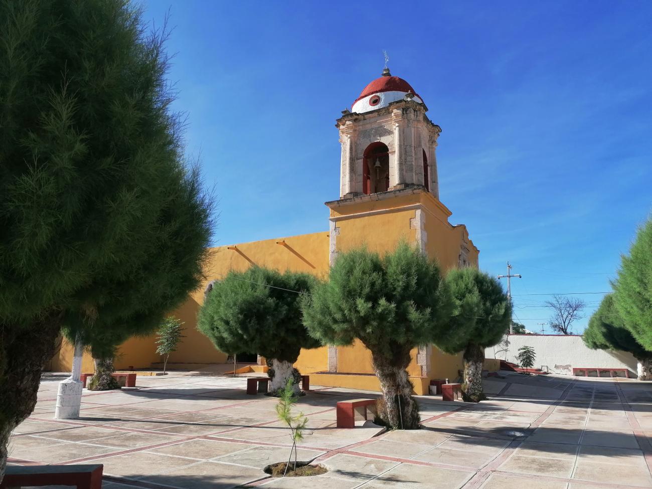
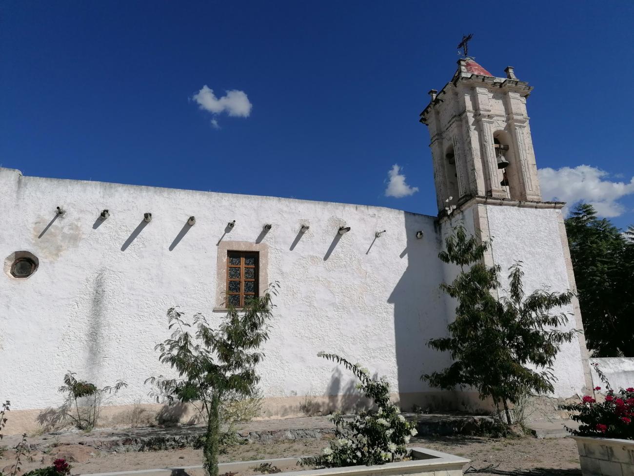
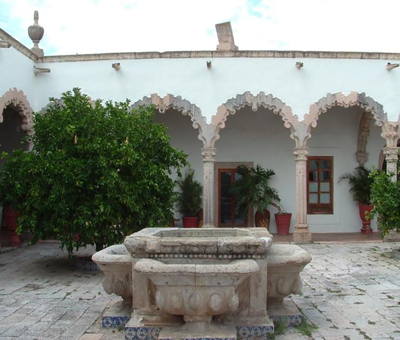

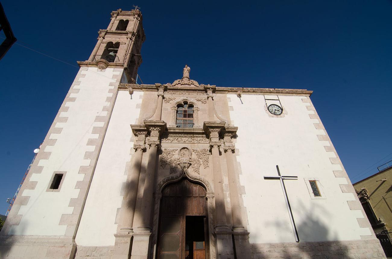
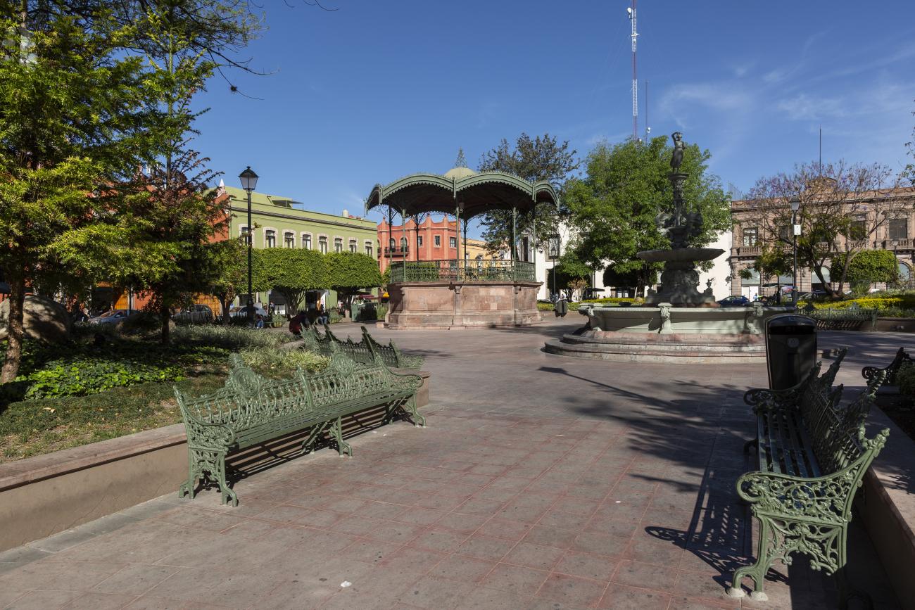
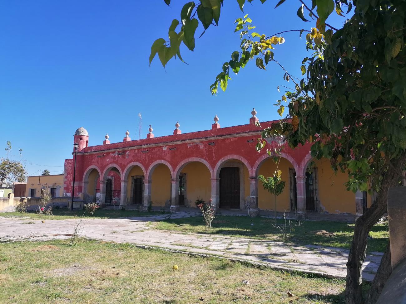
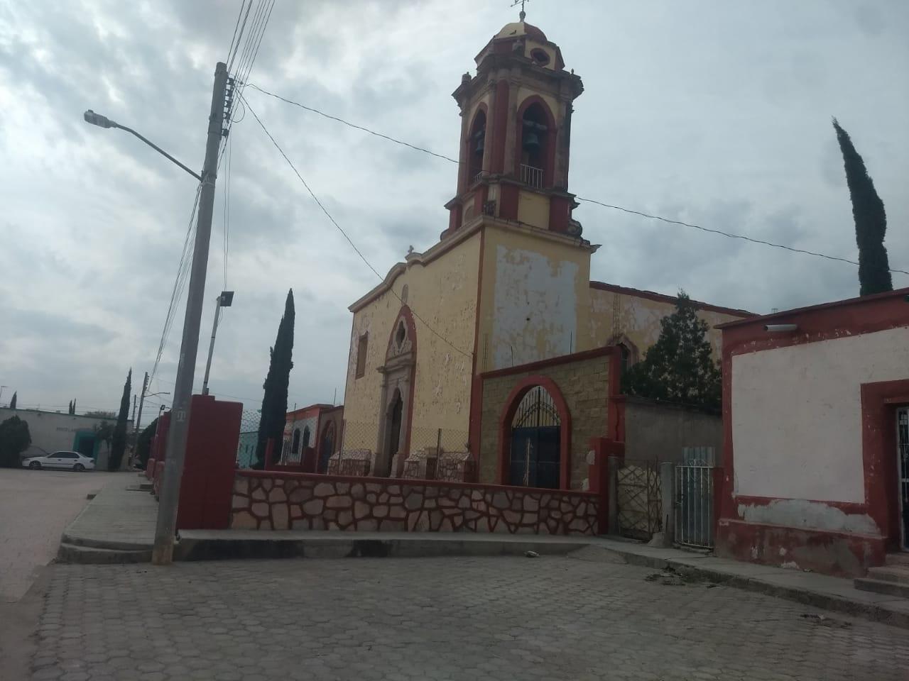


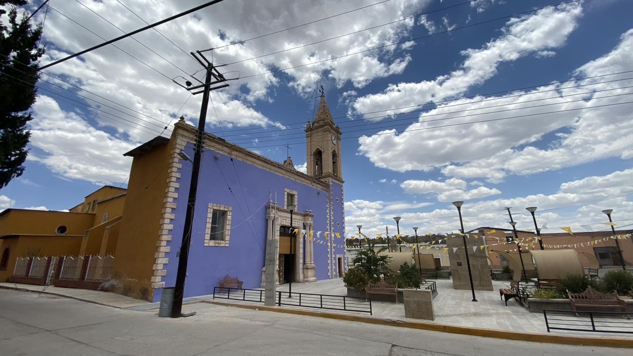

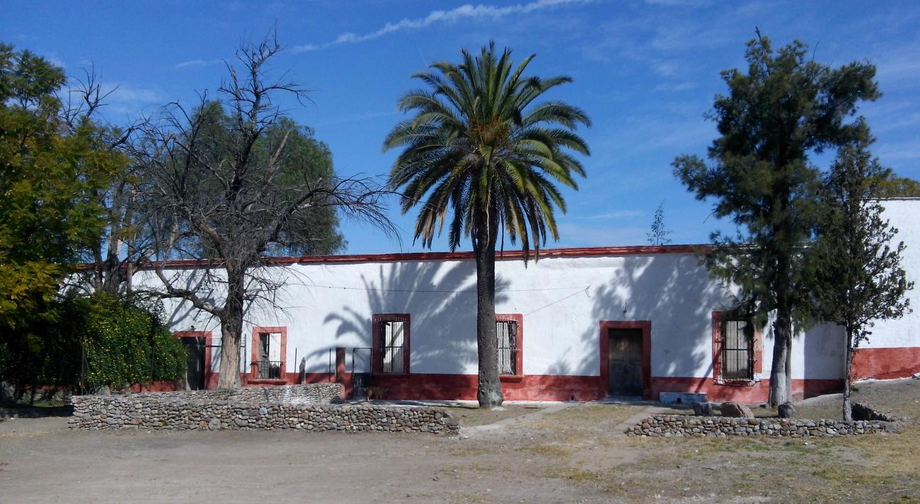


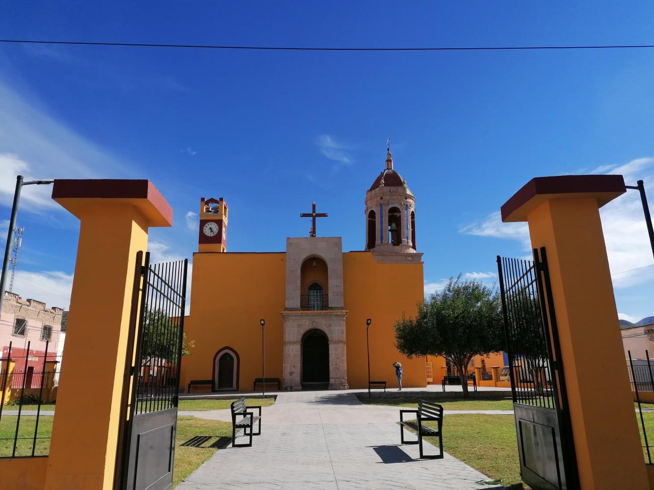

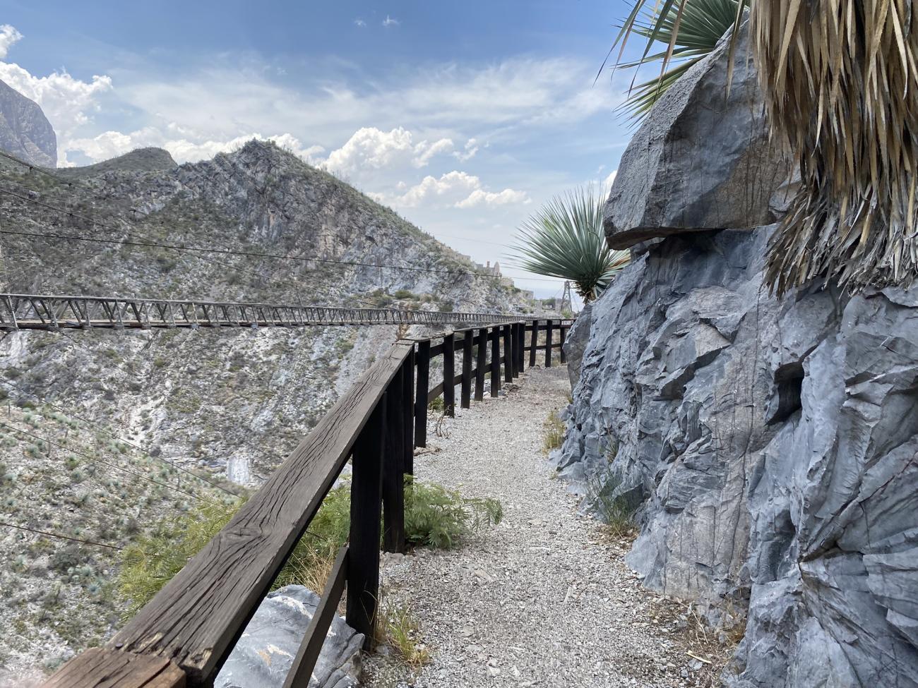

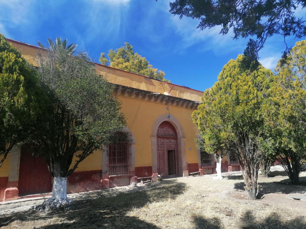
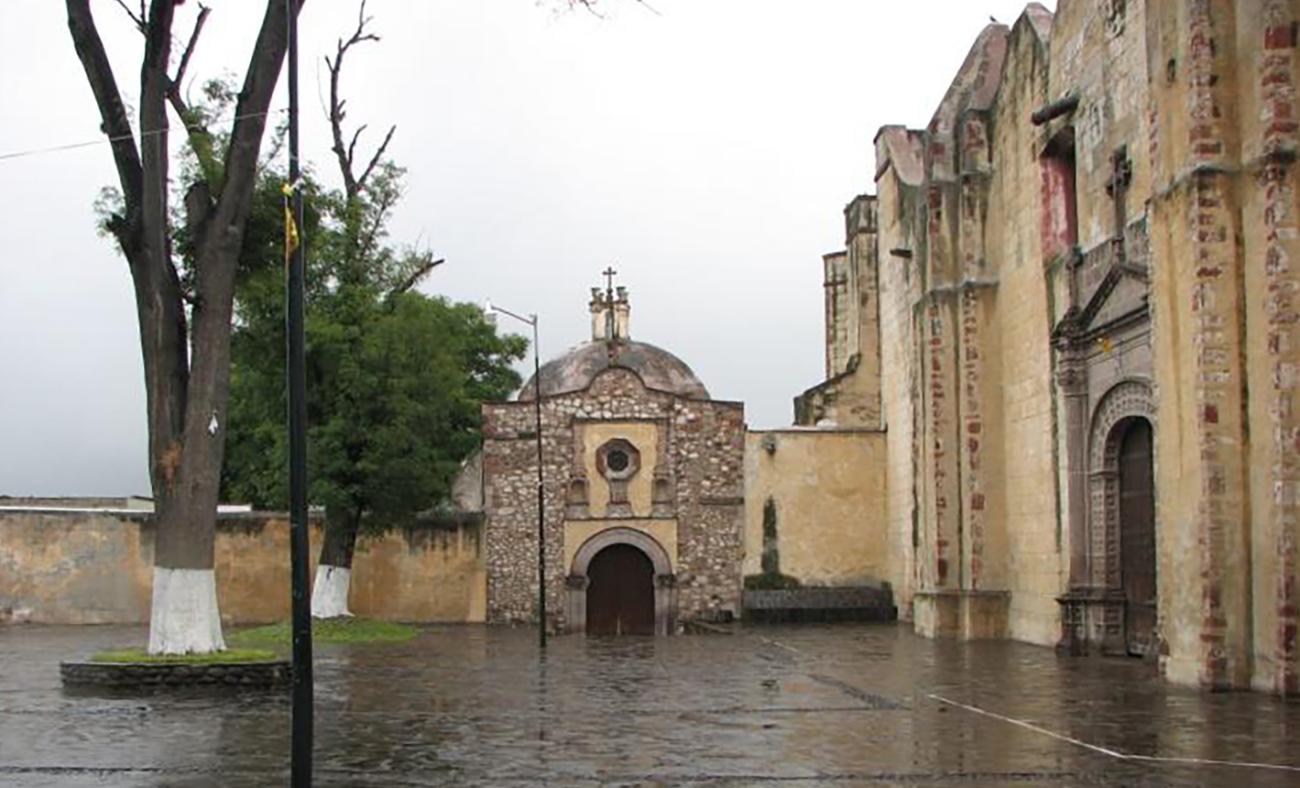
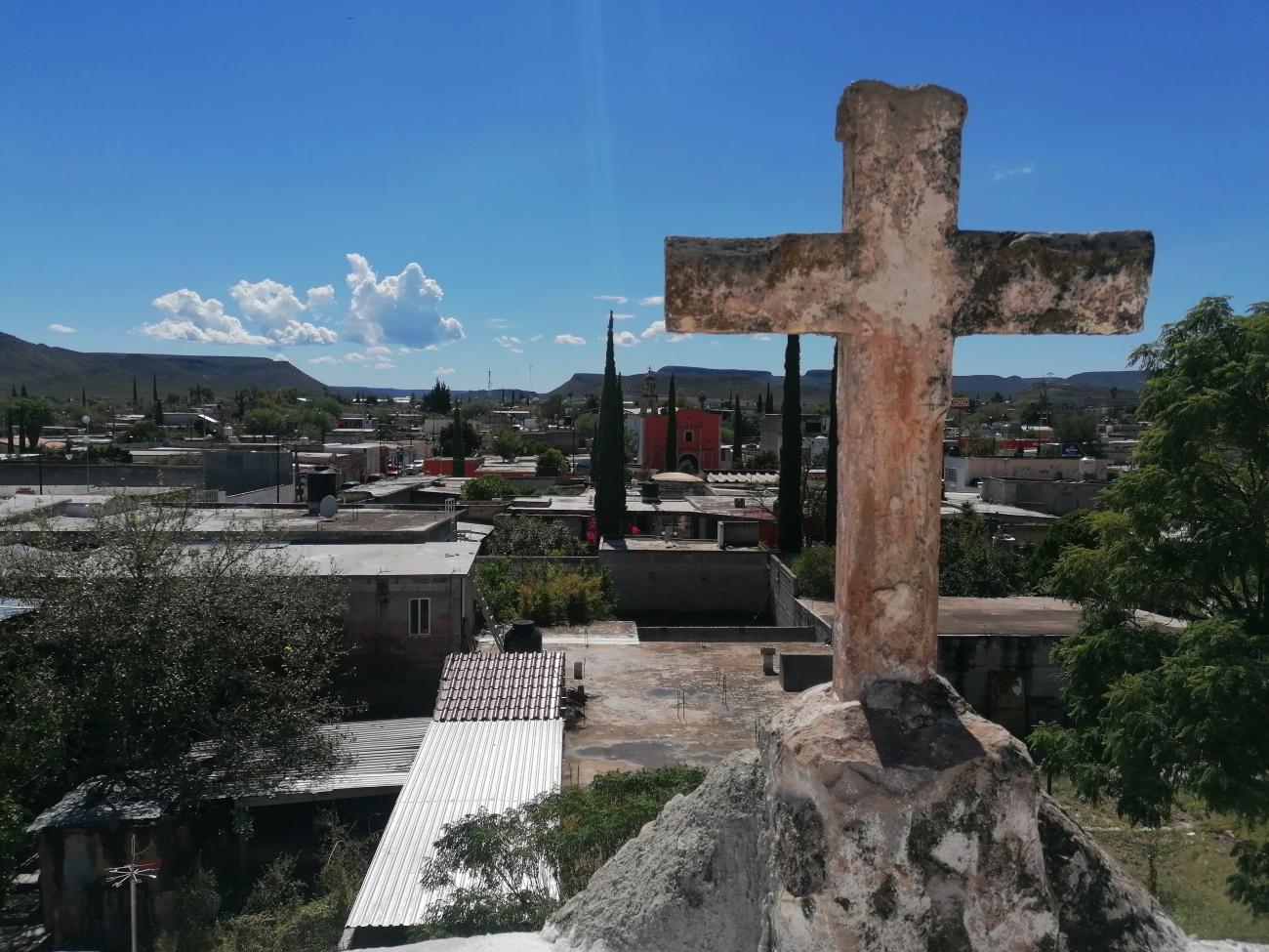
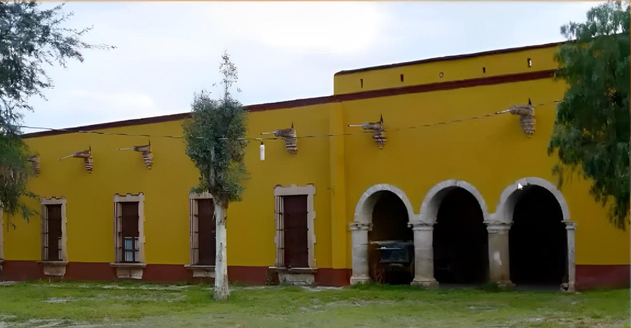
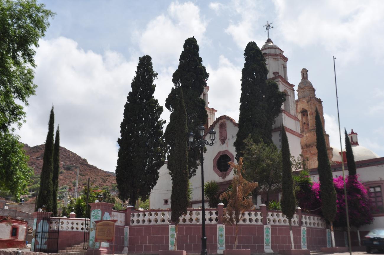

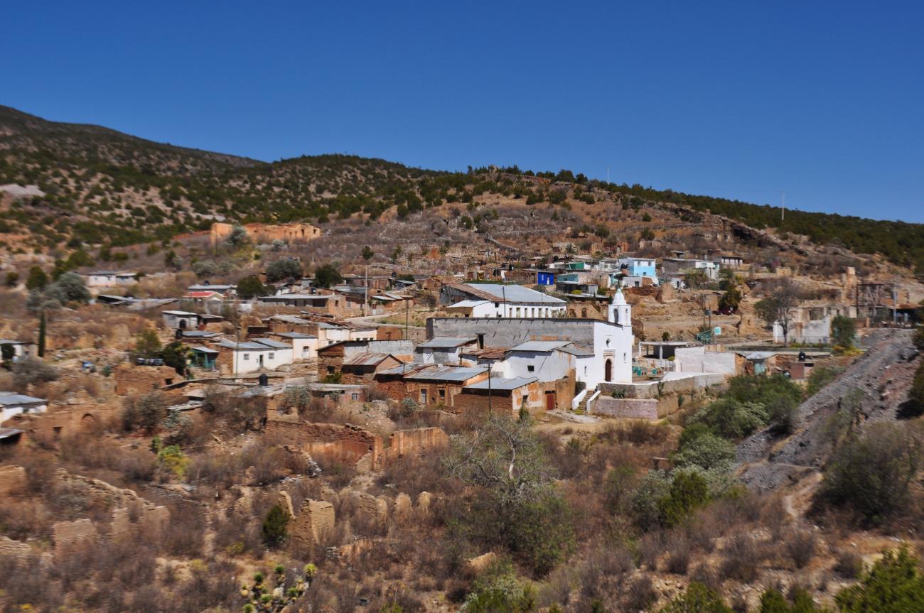
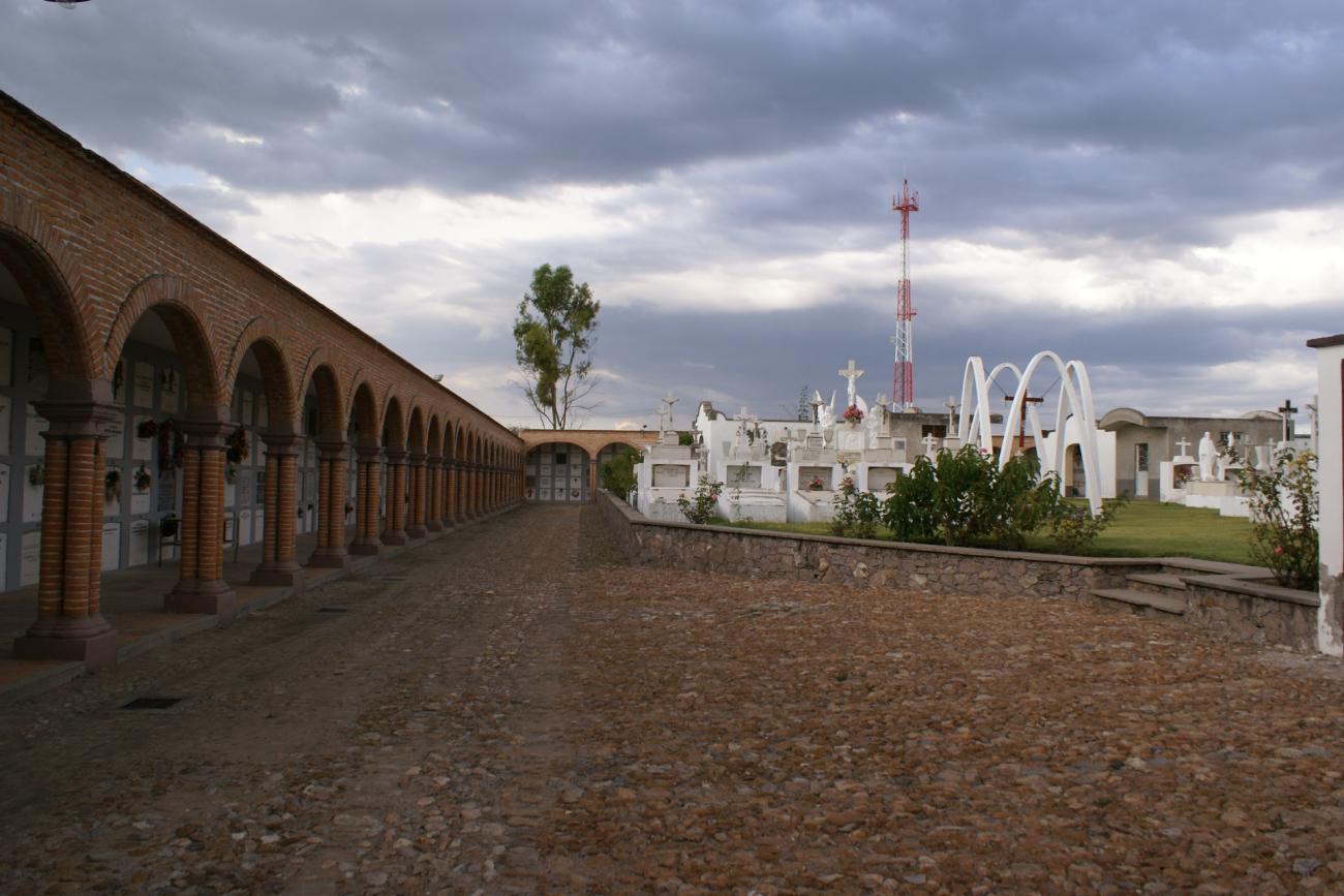
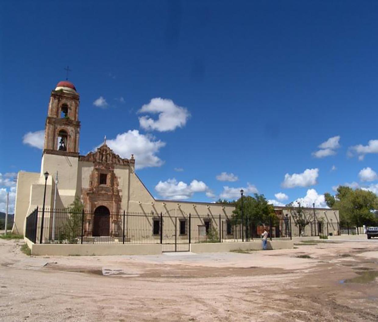
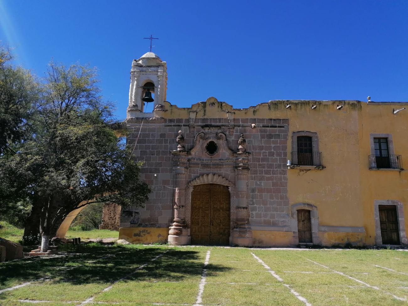
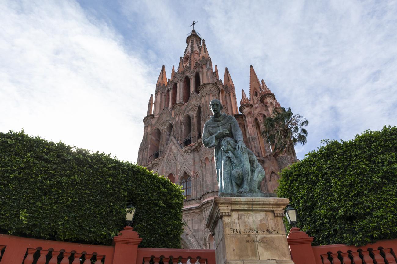
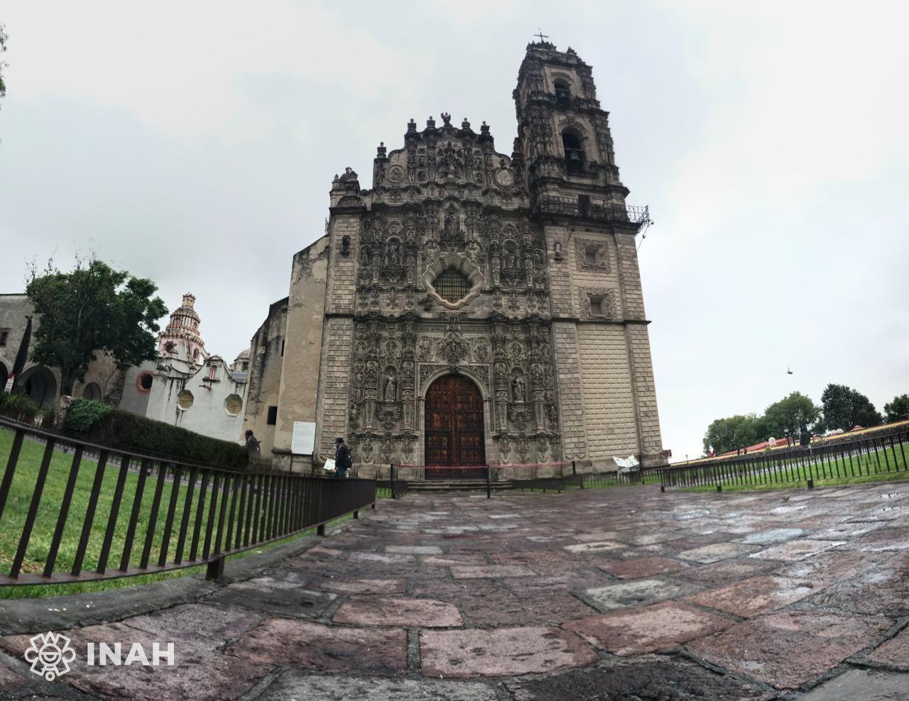

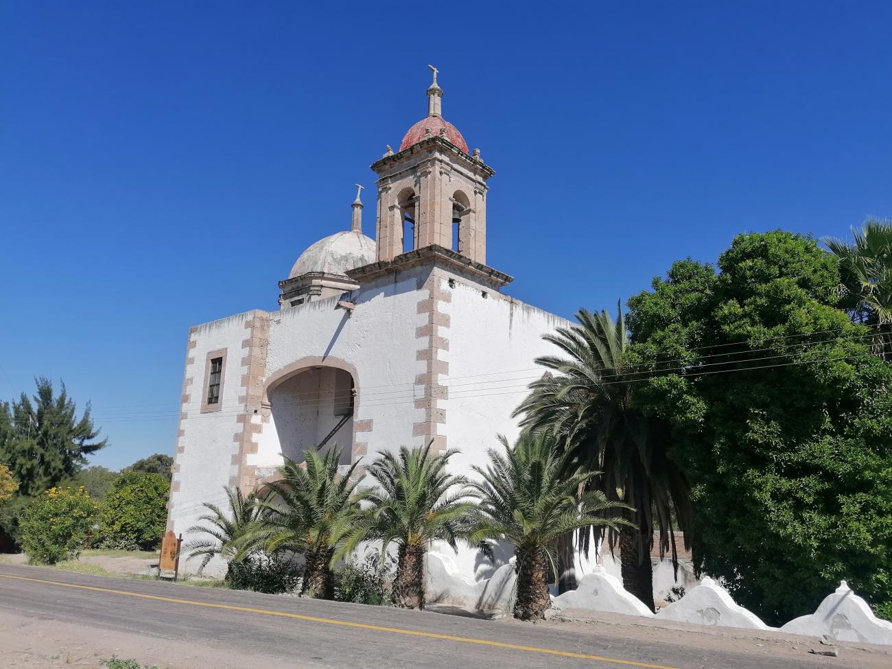
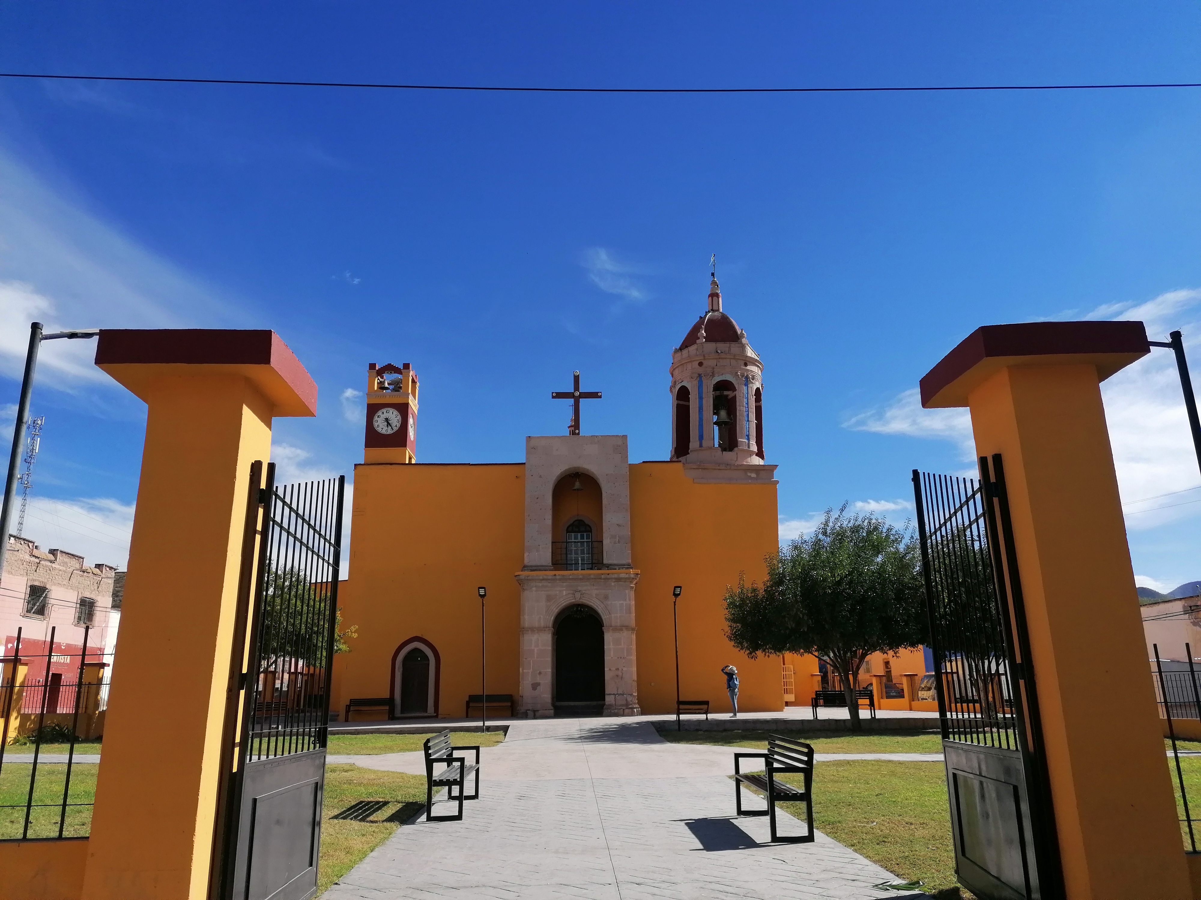
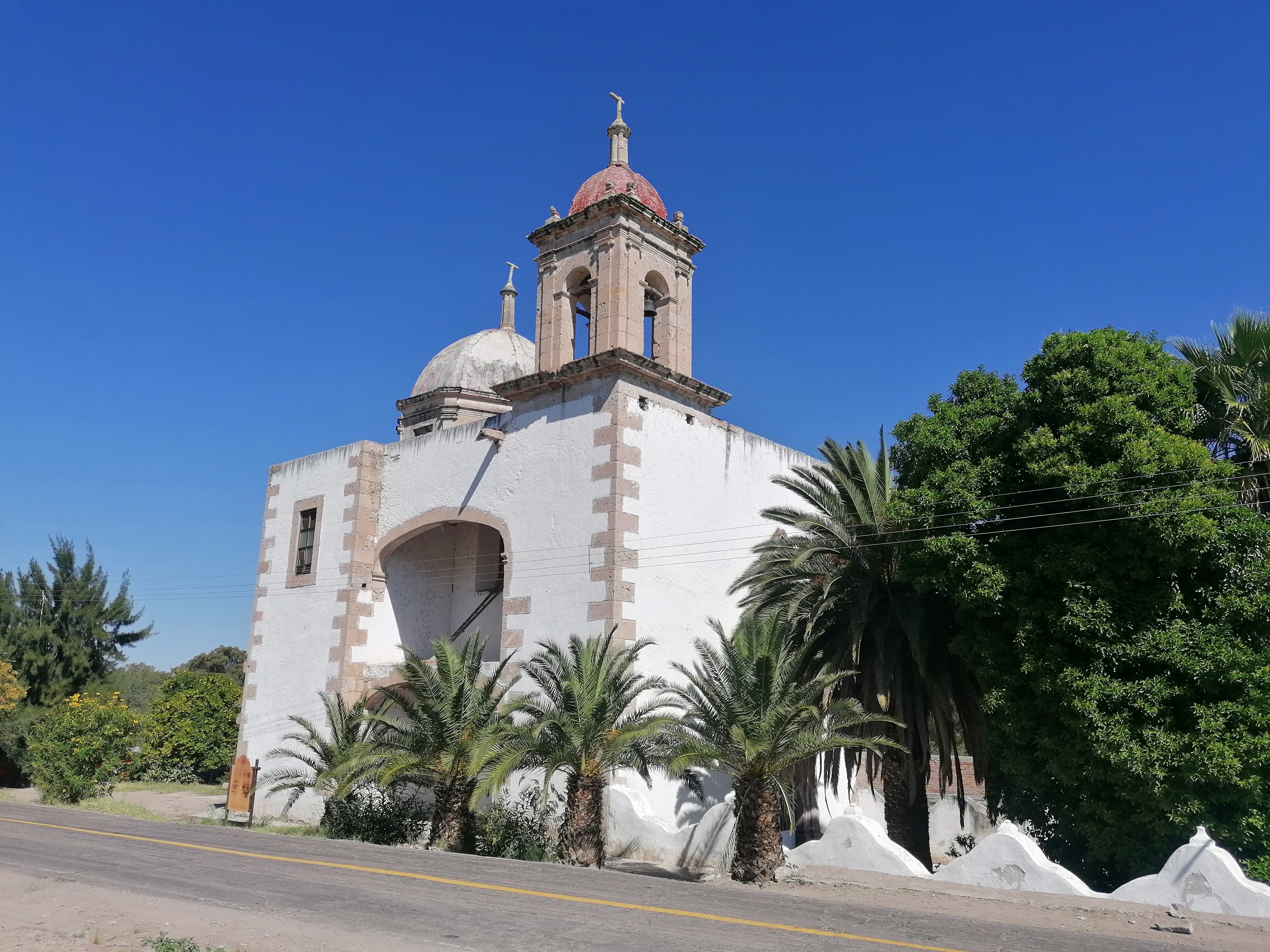
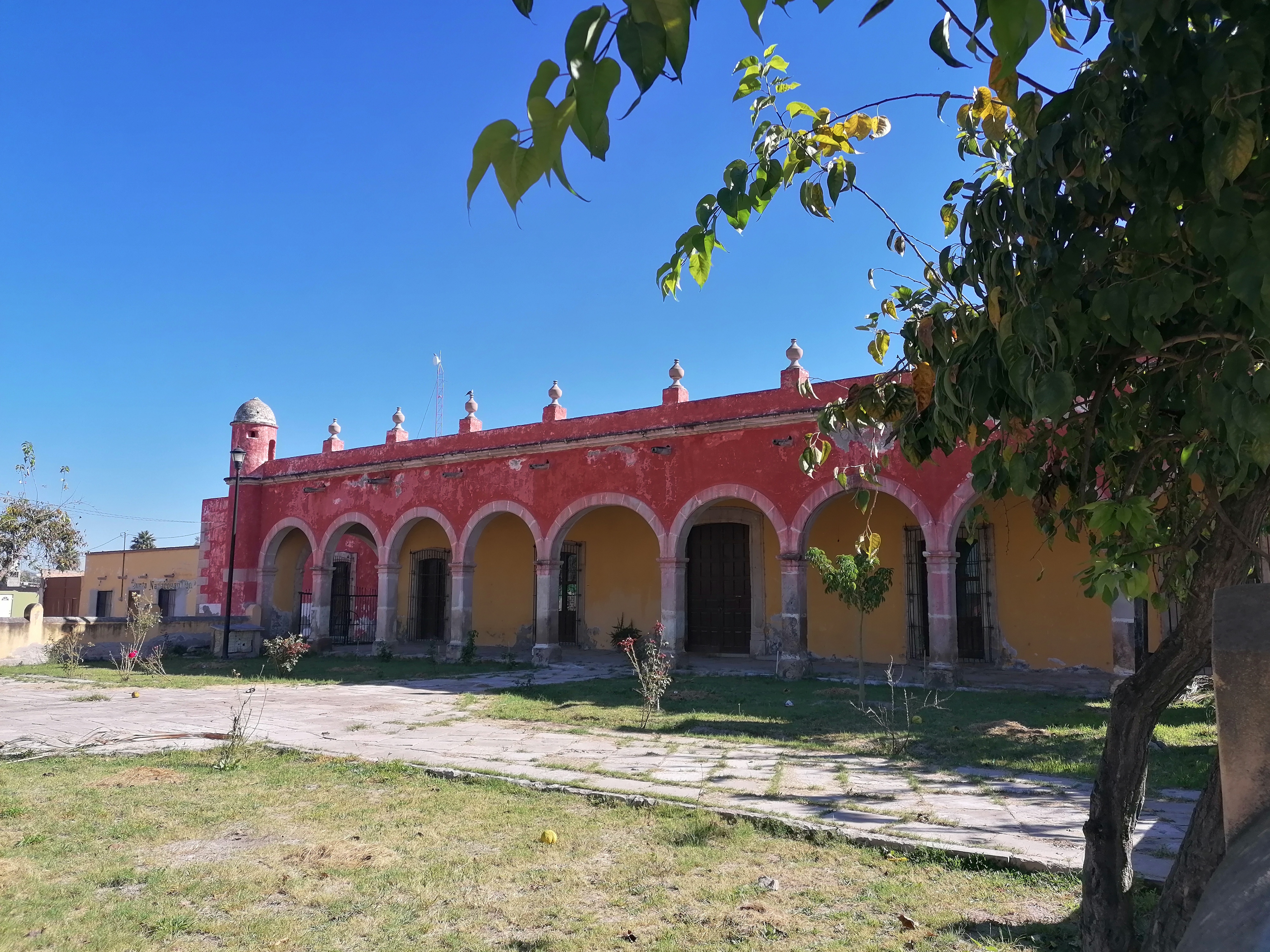
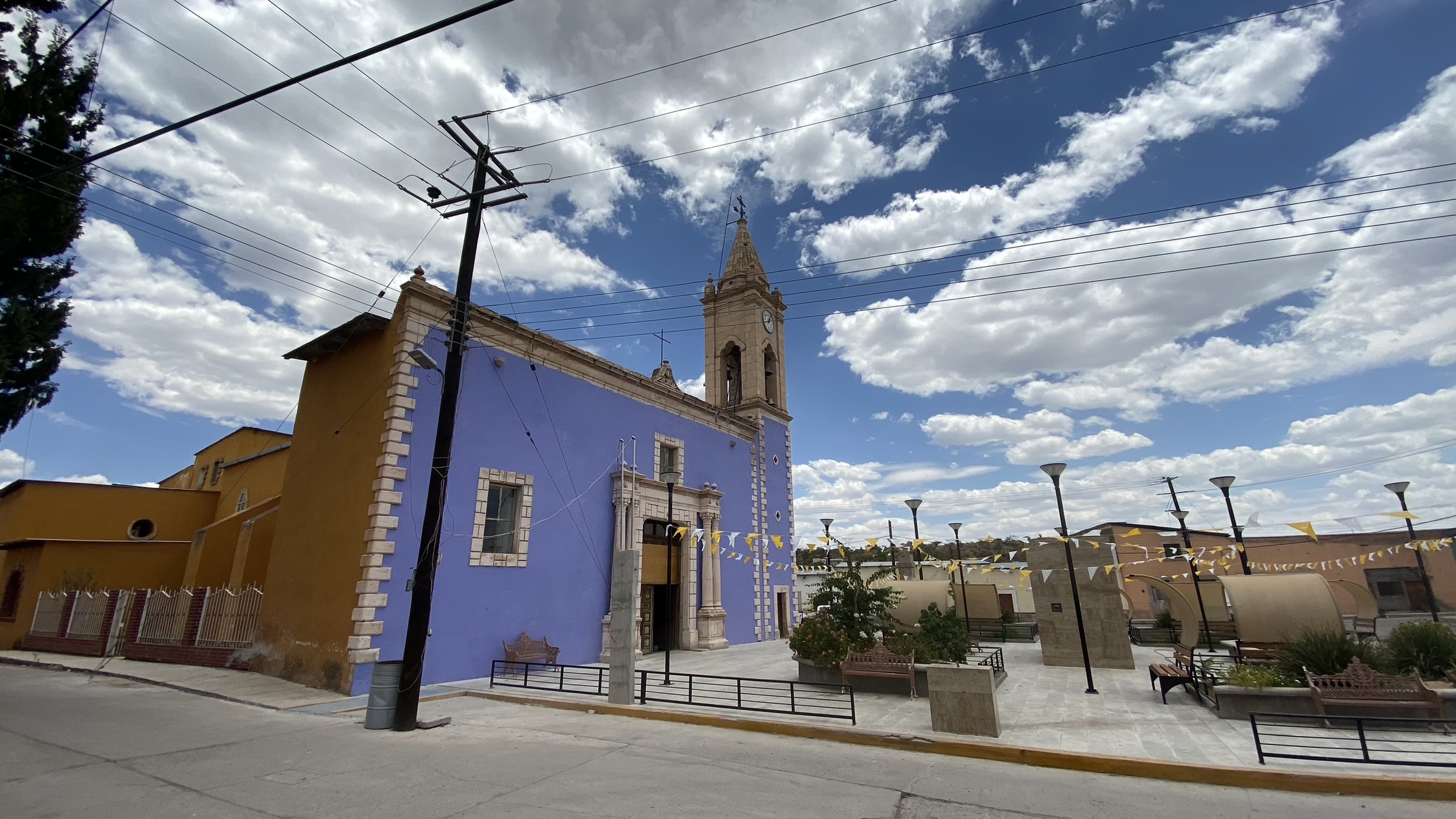
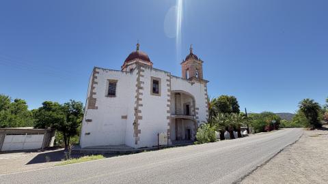
Capilla de la antigua hacienda de la Inmaculada Concepción de Palmitos de Arriba
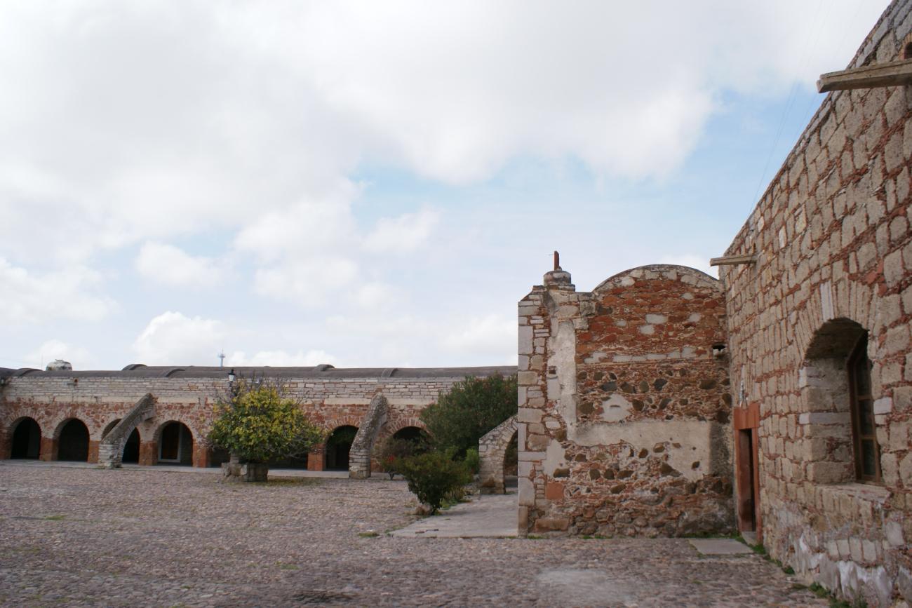
The agricultural hacienda of La Inmaculada Concepción de Palmitos de Arriba is located in the Palmitos Valley, in the present-day state of Durango.
Capilla de la antigua hacienda de la Inmaculada Concepción de Palmitos de Arriba
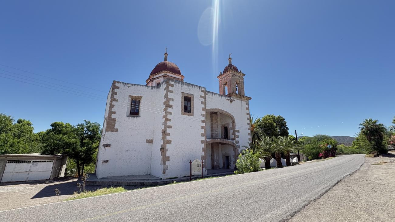

The agricultural hacienda of La Inmaculada Concepción de Palmitos de Arriba is located in the Palmitos Valley, in the present-day state of Durango. It was an important site along the itinerary of the Camino Real de Tierra Adentro, serving as a resting place for travelers heading from the city of Durango to the silver mines of San José de Parral and vice versa.
Capilla de la antigua hacienda de la Limpia Concepción de Palmitos de Abajo
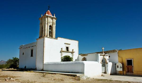
The hacienda of La Limpia Concepción de Palmitos de Abajo is located in the Palmitos Valley, in the present-day municipality of Rodeo, in the state of Durango. One of the first expeditions to this site was carried out by Juan de Oñate in 1596.
Capilla de la antigua hacienda de la Limpia Concepción de Palmitos de Abajo
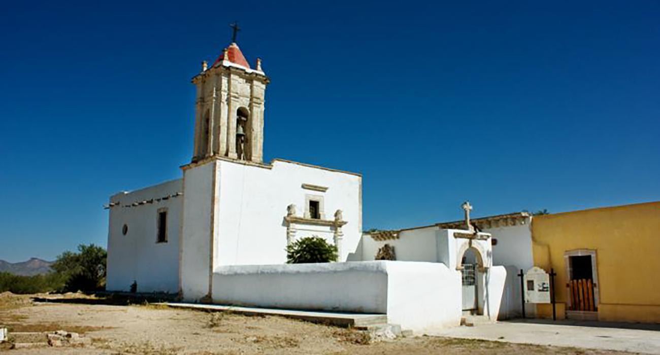

The hacienda of La Limpia Concepción de Palmitos de Abajo is located in the Palmitos Valley, in the present-day municipality of Rodeo, in the state of Durango. One of the first expeditions to this site was carried out by Juan de Oñate in 1596. Subsequently, the favorable characteristics of the area increased Spanish interest in occupation, as it boasts abundant water resources and fertile land suitable for wheat cultivation and fruit trees.
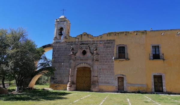
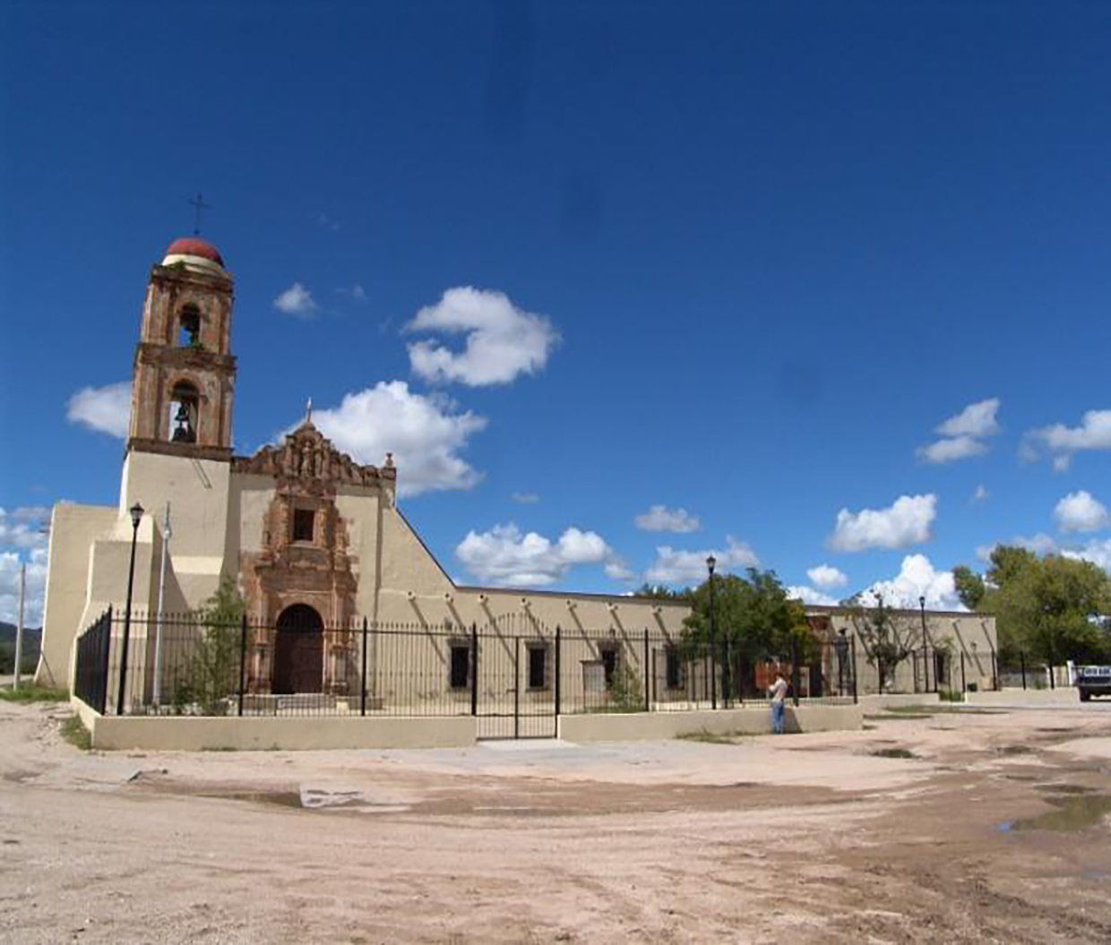
Capilla de San Antonio de la antigua hacienda de Juana Guerra
The Chapel of San Antonio de Padua was built in the 18th century in the former hacienda of San Antonio de Juana Guerra, in the community of Amado Nervo, Nombre de Dios, Durango.
Capilla de San Antonio de la antigua hacienda de Juana Guerra
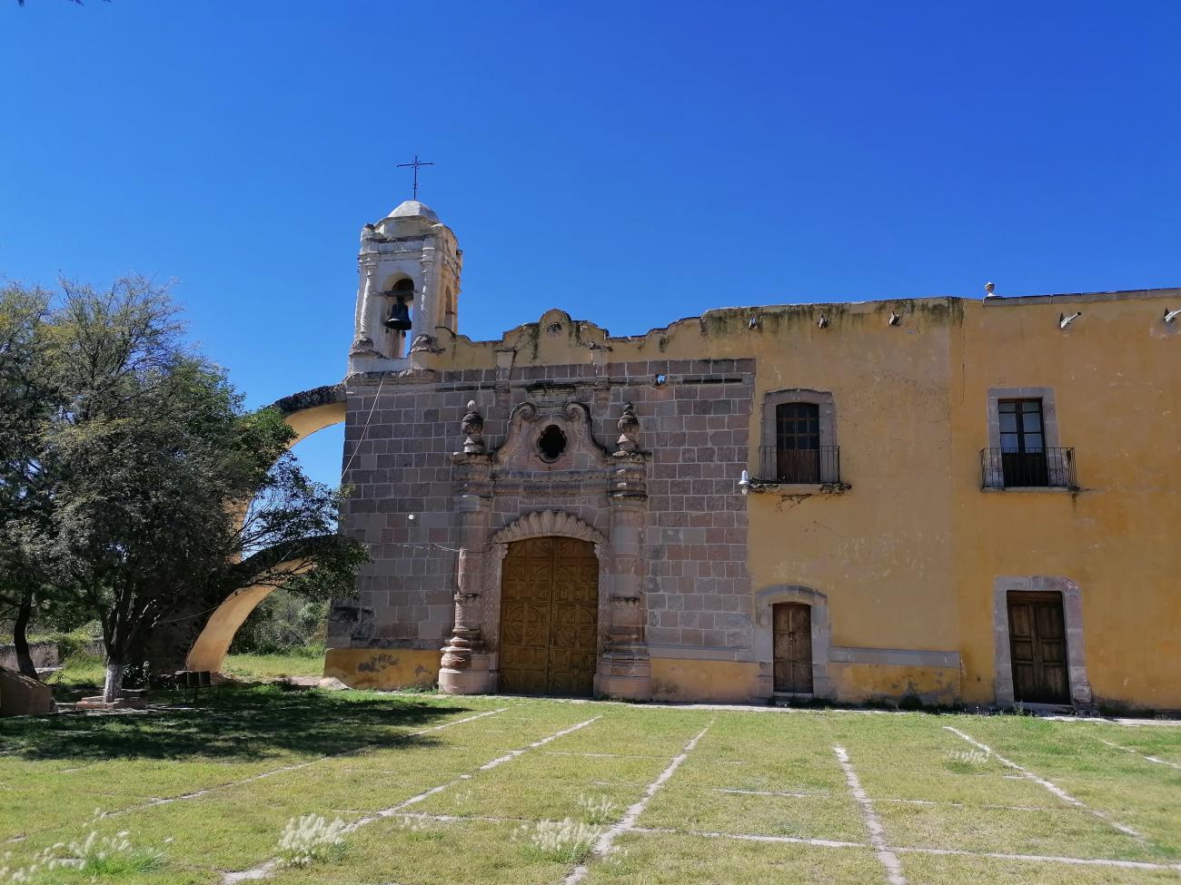
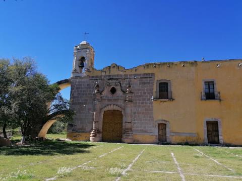
The Chapel of San Antonio de Padua was built in the 18th century in the former hacienda of San Antonio de Juana Guerra, in the community of Amado Nervo, Nombre de Dios, Durango.
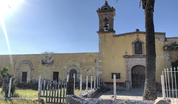
Capilla de San Mateo de la antigua hacienda de La Zarca
Hacienda de la Zarca, located in the present-day municipality of Hidalgo, was initially one of the first and largest cattle ranches in the state of Durango.
Capilla de San Mateo de la antigua hacienda de La Zarca
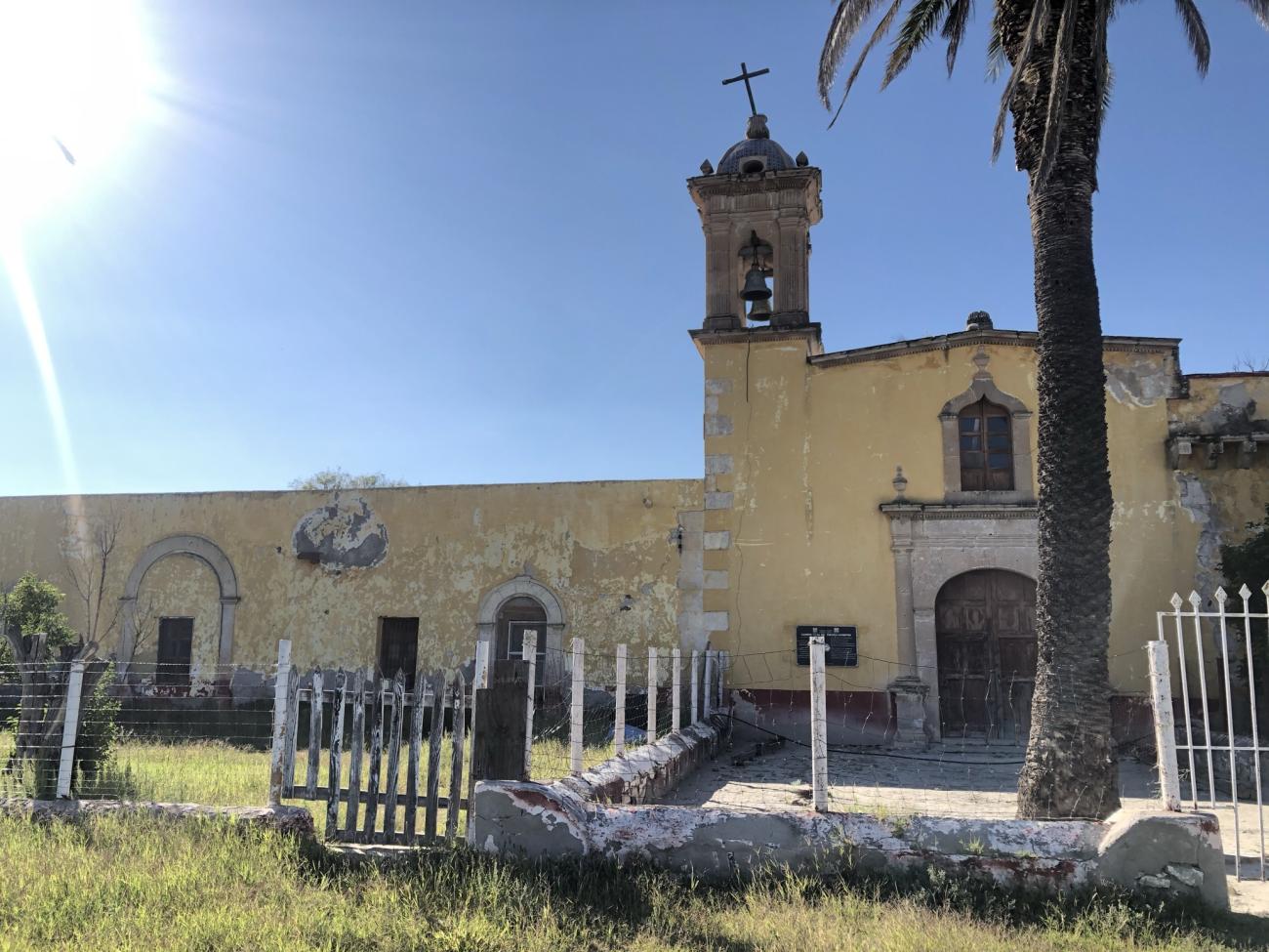
Hacienda de la Zarca, located in the present-day municipality of Hidalgo, was initially one of the first and largest cattle ranches in the state of Durango. This hacienda was an important stop along the itinerary of the Camino Real de Tierra Adentro, serving as a mandatory resting point for travelers journeying from the mines of Parral to Durango or Fresnillo.
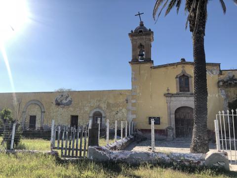
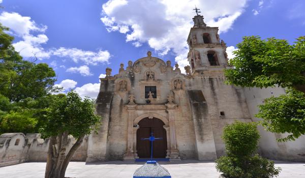
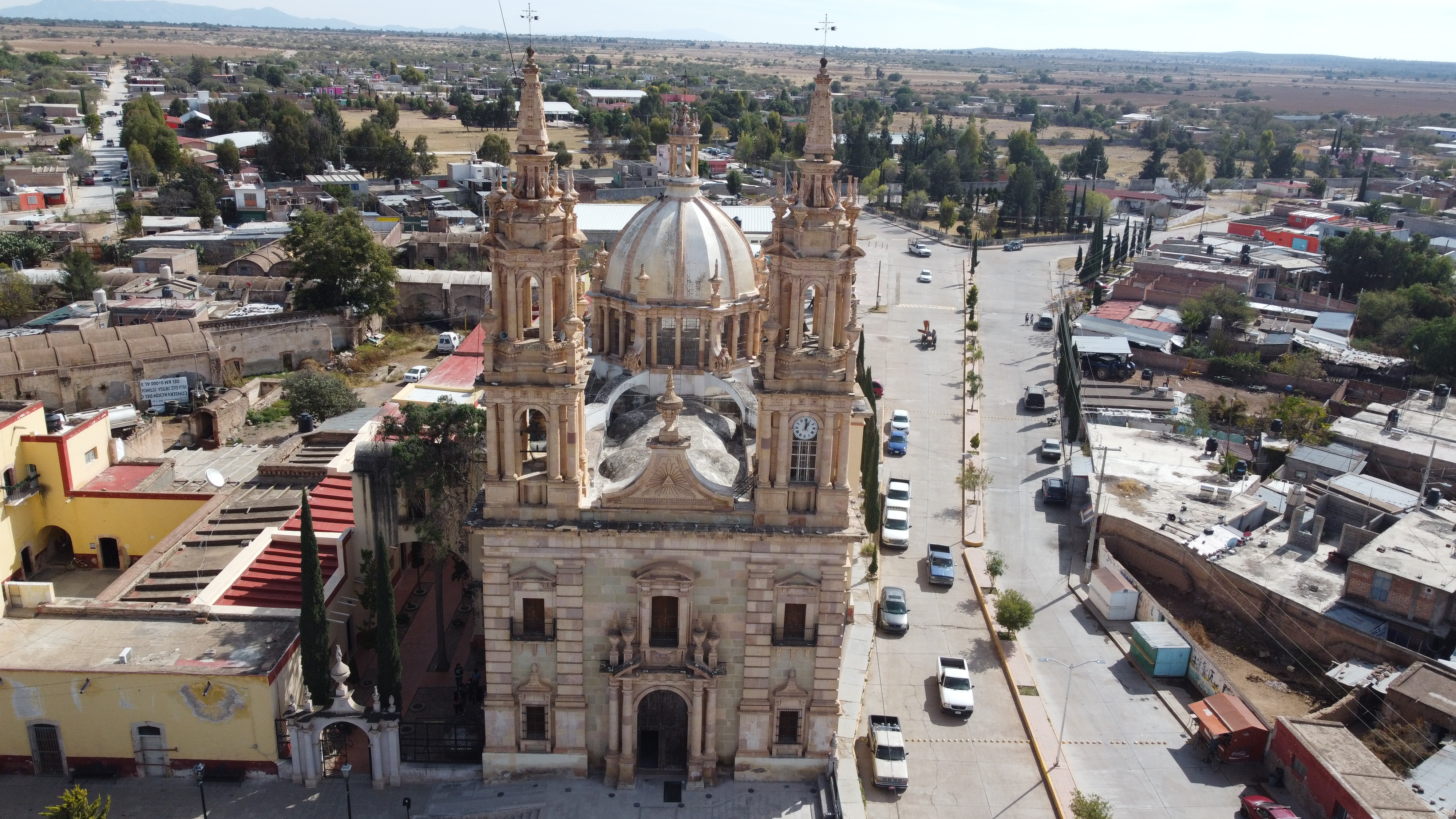
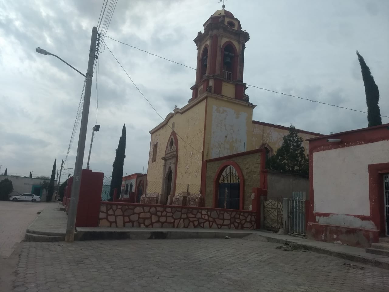
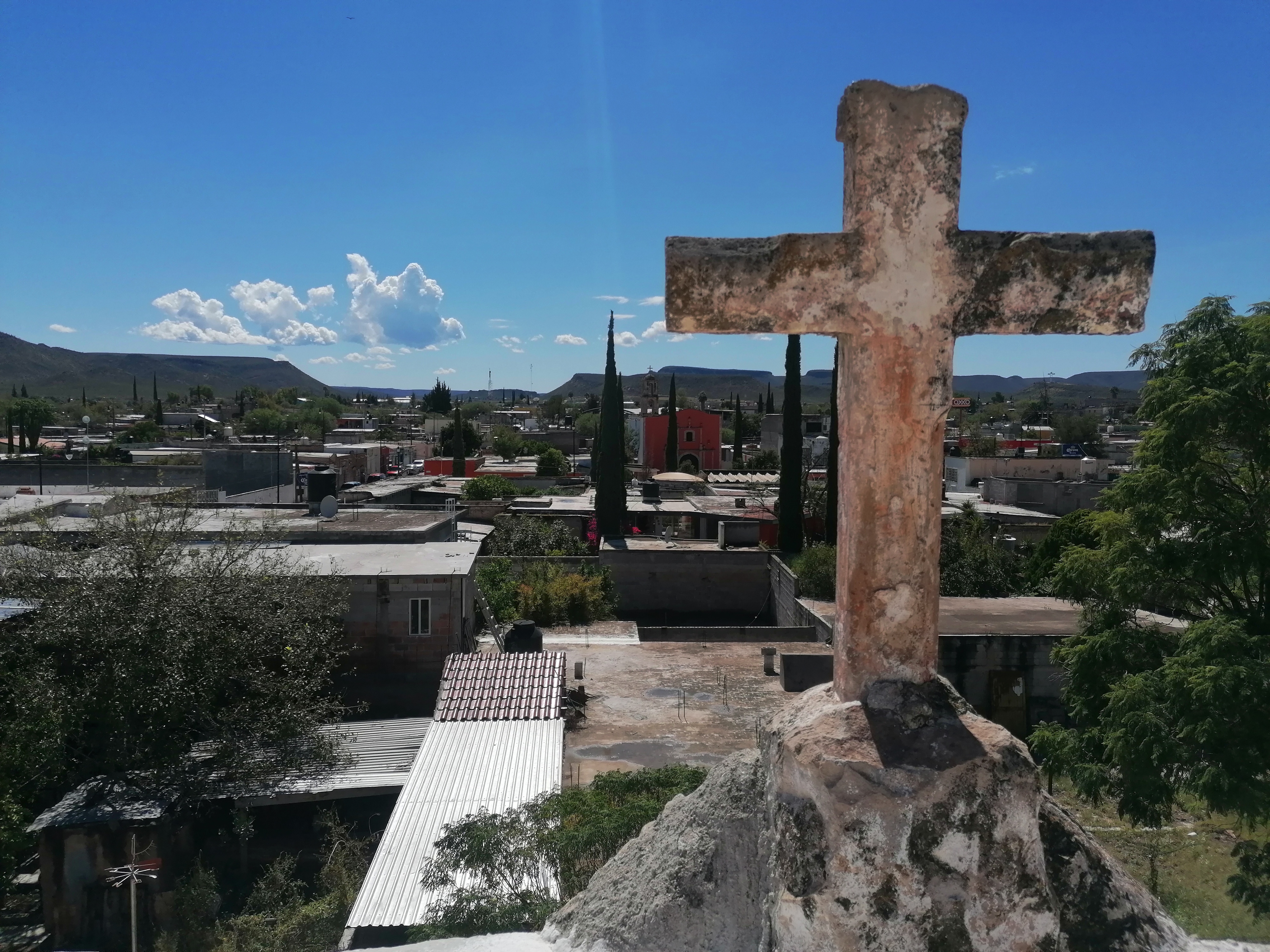
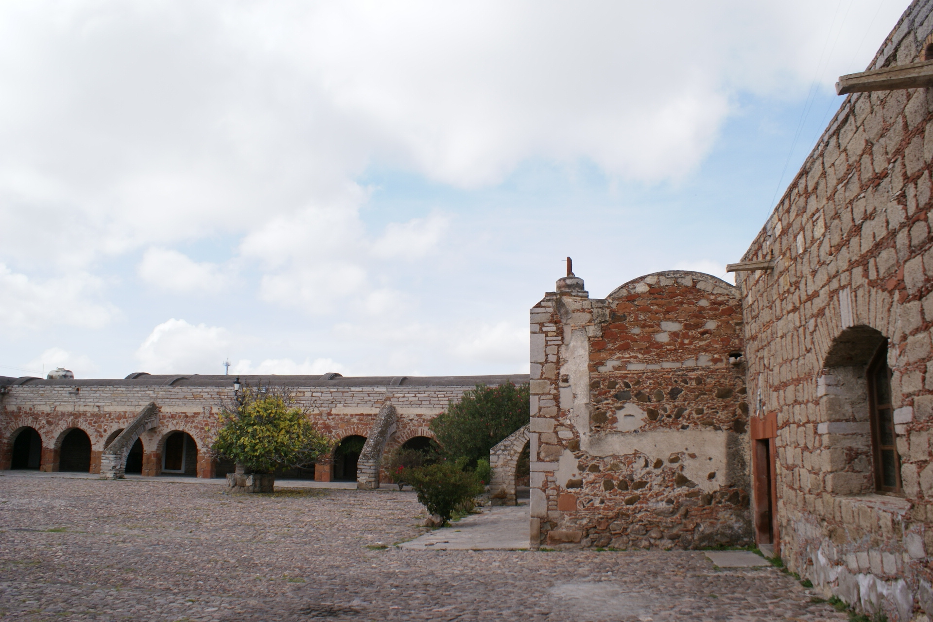
Capilla de San Nicolás Tolentino de la antigua hacienda de San Nicolás de Quijas
Hacienda de San Nicolás de Quijas is located in the state of Zacatecas, in the municipality of Pinos, in the town of Nigromante. The earliest records of it date back to 1651, with Captain José de Quijas Escalante y Saldaña listed as its owner.
Capilla de San Nicolás Tolentino de la antigua hacienda de San Nicolás de Quijas

Hacienda de San Nicolás de Quijas is located in the state of Zacatecas, in the municipality of Pinos, in the town of Nigromante. The earliest records of it date back to 1651, with Captain José de Quijas Escalante y Saldaña listed as its owner.
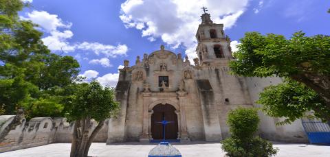
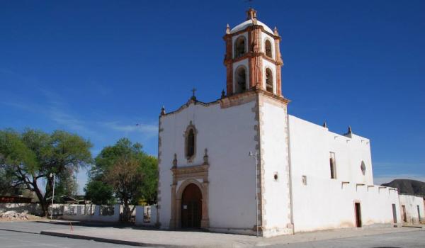
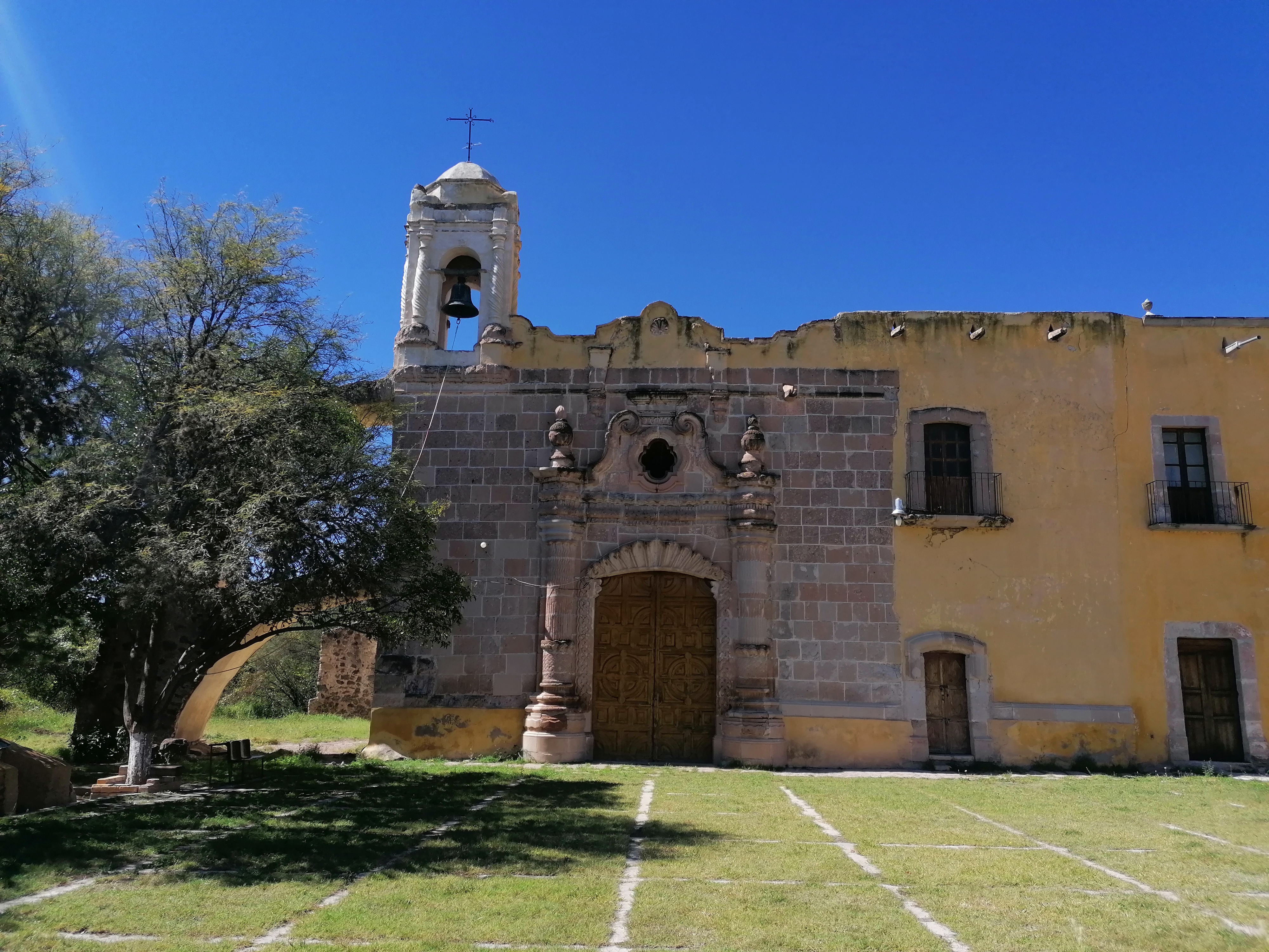
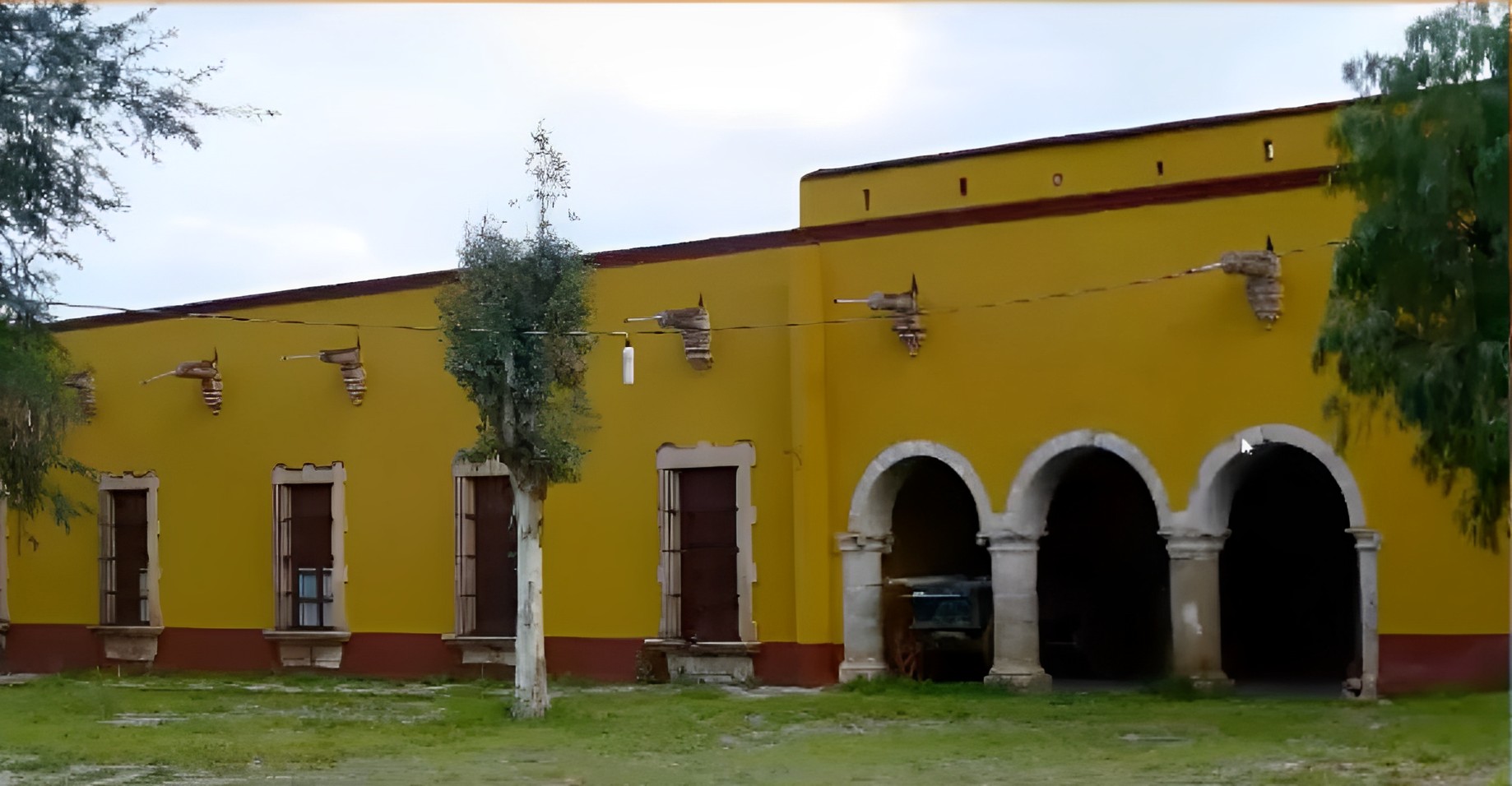
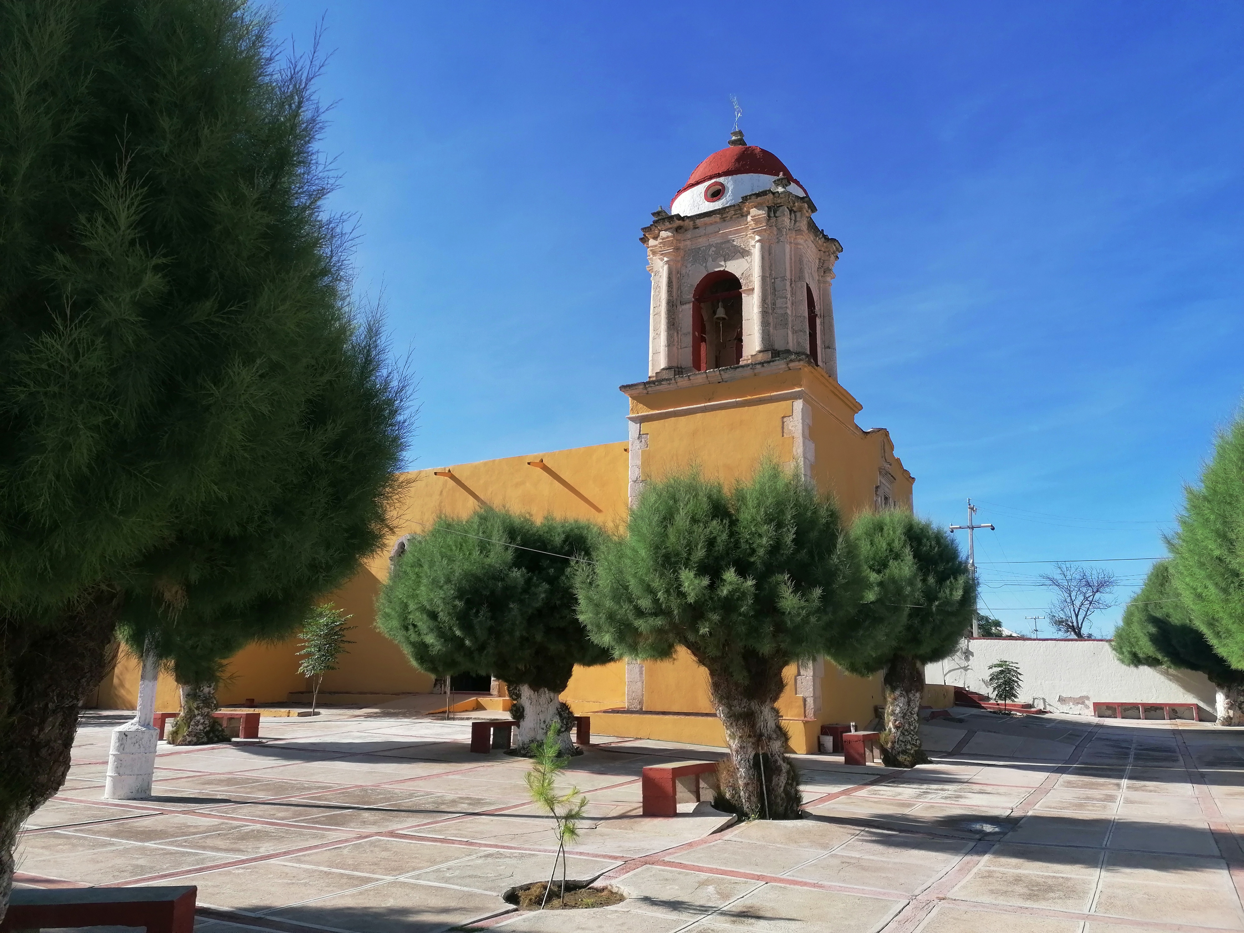
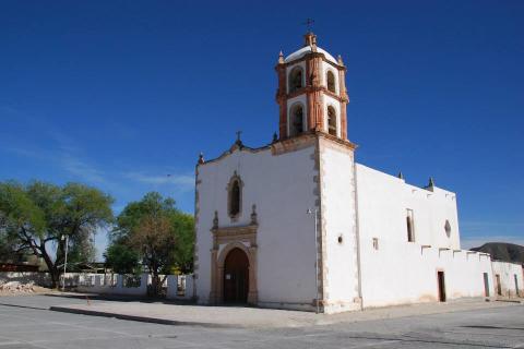
Capilla del Refugio en la antigua hacienda de Cuatillos
The Chapel of Our Lady of Refuge in the former hacienda of San Juan de la Noria, Cuatillos or Pedriceña, is located in the municipality of Cuencamé, Durango. It was built in the 17th century as an agricultural and livestock estate.
Capilla del Refugio en la antigua hacienda de Cuatillos
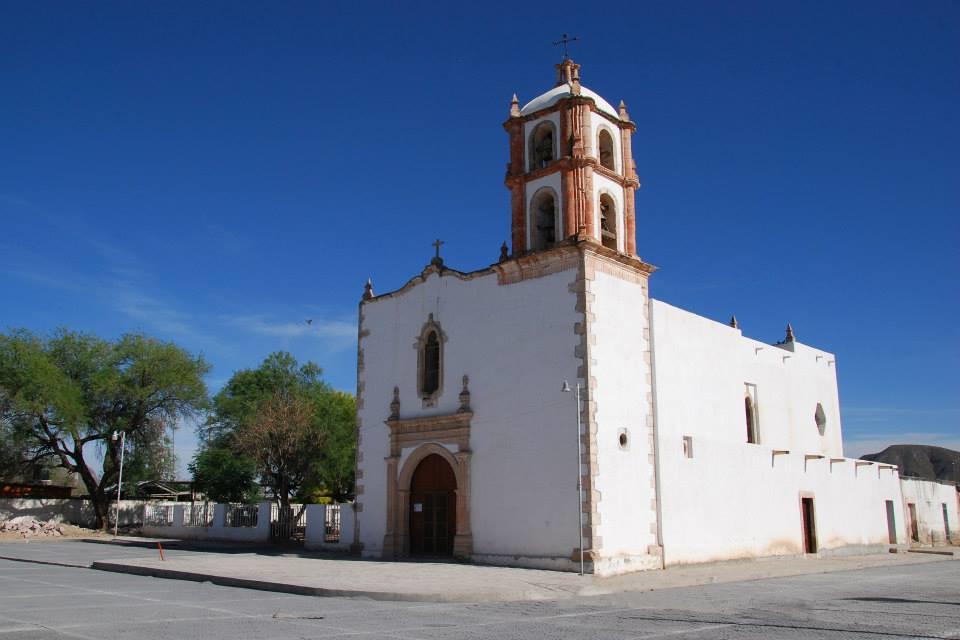
The Chapel of Our Lady of Refuge in the former hacienda of San Juan de la Noria, Cuatillos or Pedriceña, is located in the municipality of Cuencamé, Durango. It was built in the 17th century as an agricultural and livestock estate.
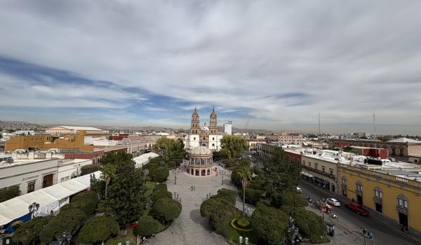
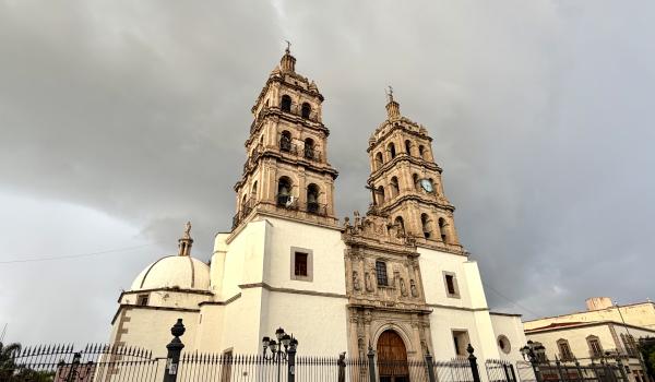
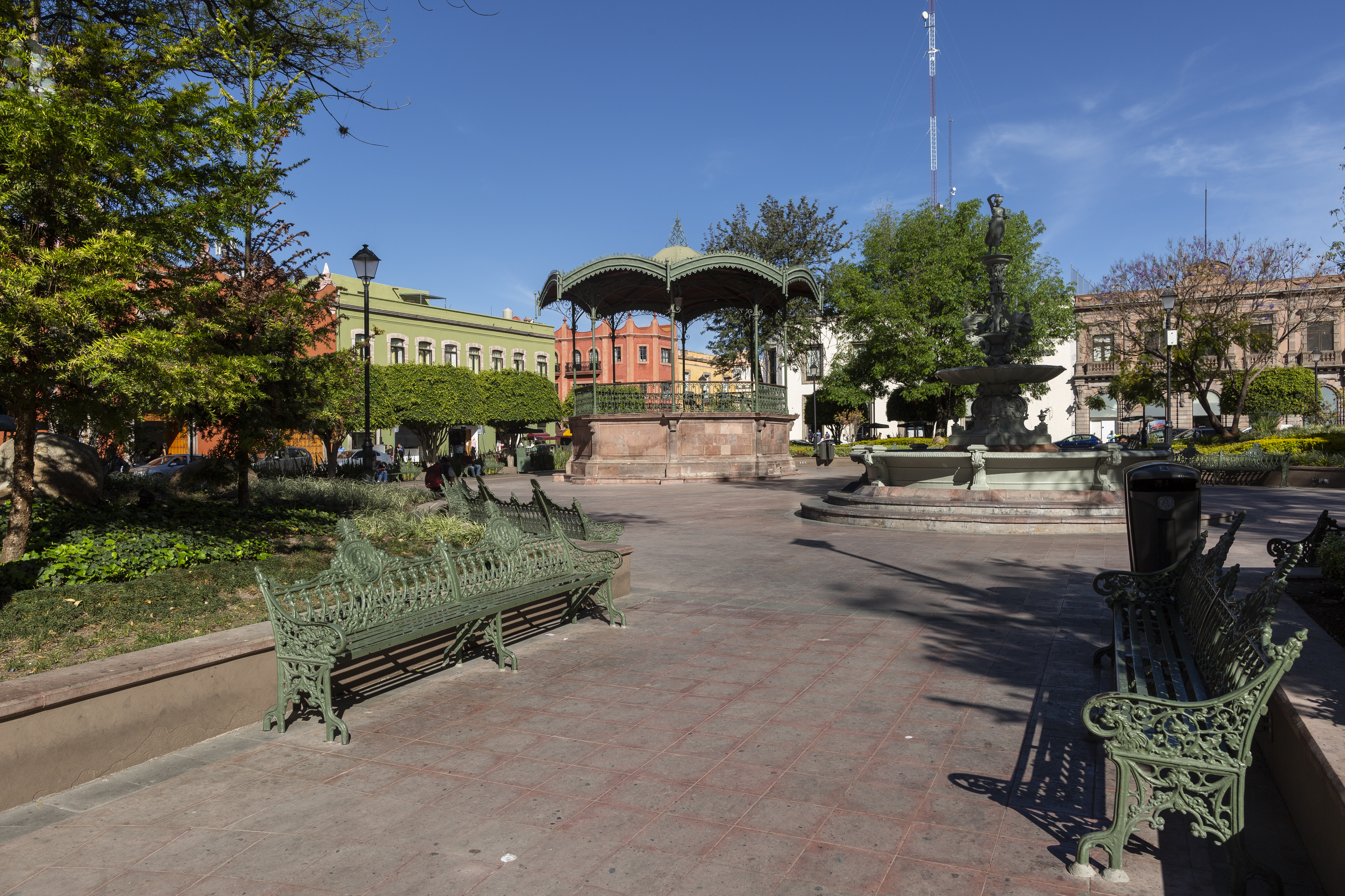
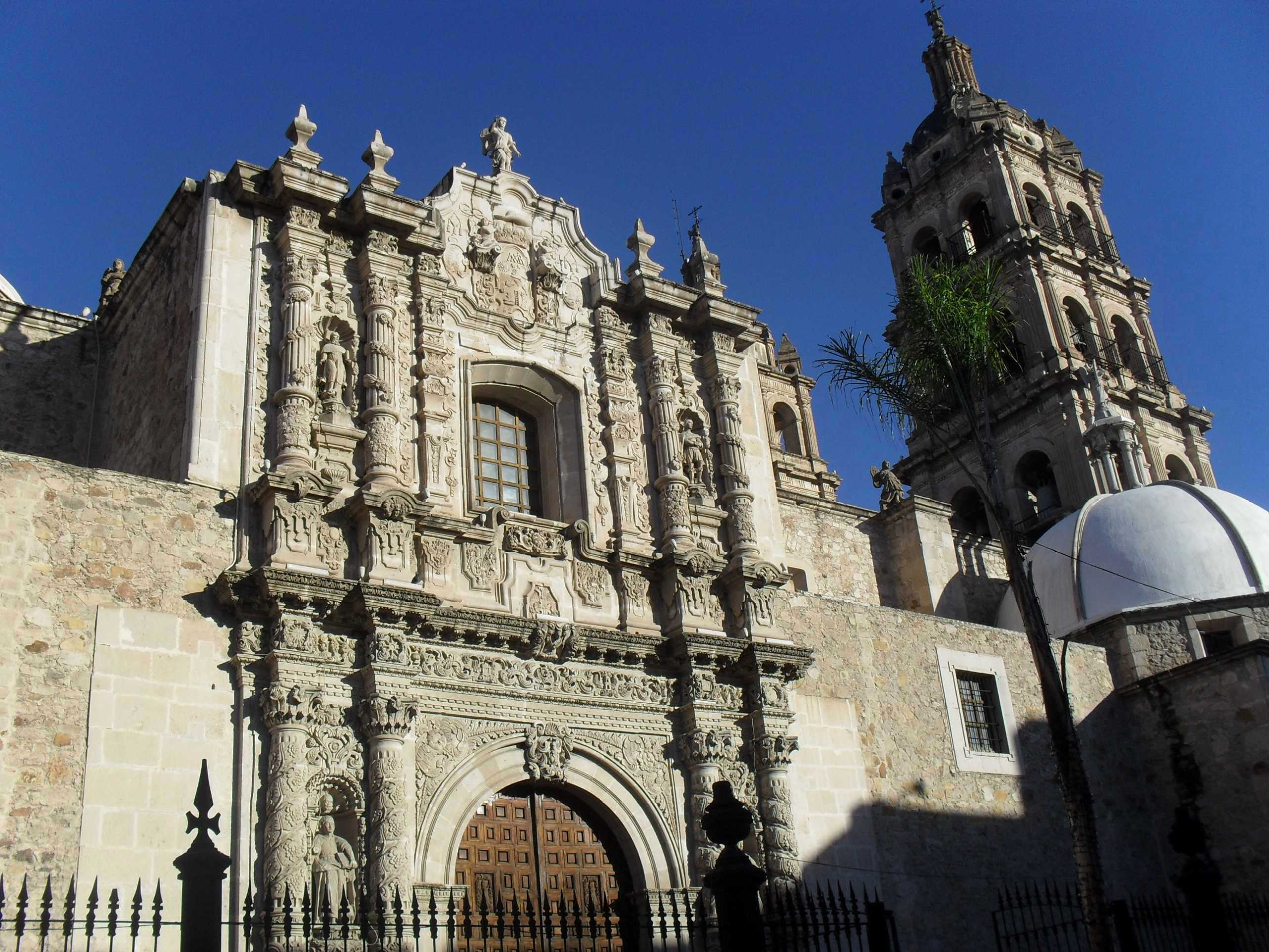
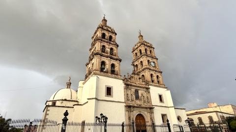
Centro histórico de la ciudad de Durango
The town of Durango was founded on July 8, 1563, by the Basque captain Francisco de Ibarra. It became an important administrative center and the seat of government for the Kingdom of Nueva Vizcaya and the bishopric during the colonial period.
Centro histórico de la ciudad de Durango


The town of Durango was founded on July 8, 1563, by the Basque captain Francisco de Ibarra. It became an important administrative center and the seat of government for the Kingdom of Nueva Vizcaya and the bishopric during the colonial period.

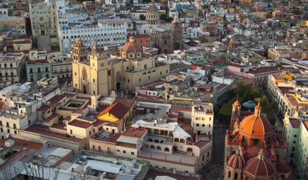
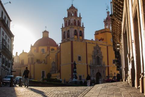
Centro histórico de la ciudad de Guanajuato y sus minas adyacentes
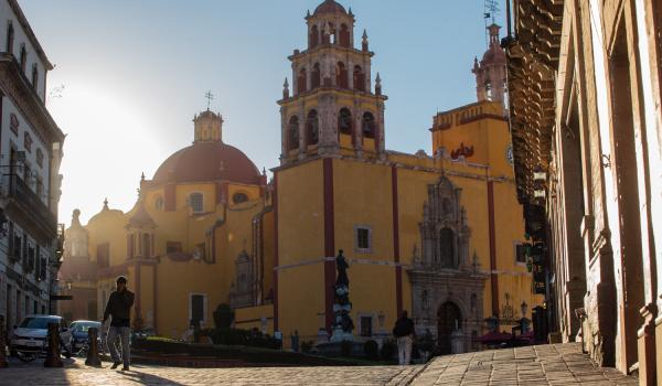
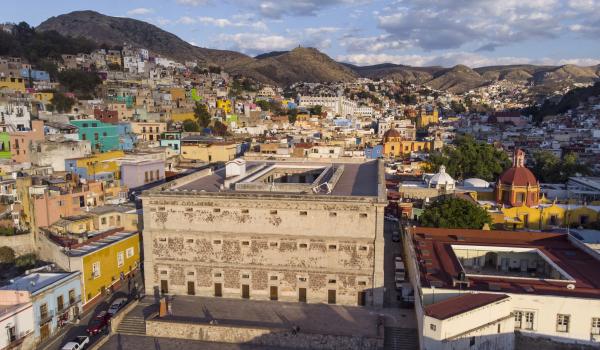
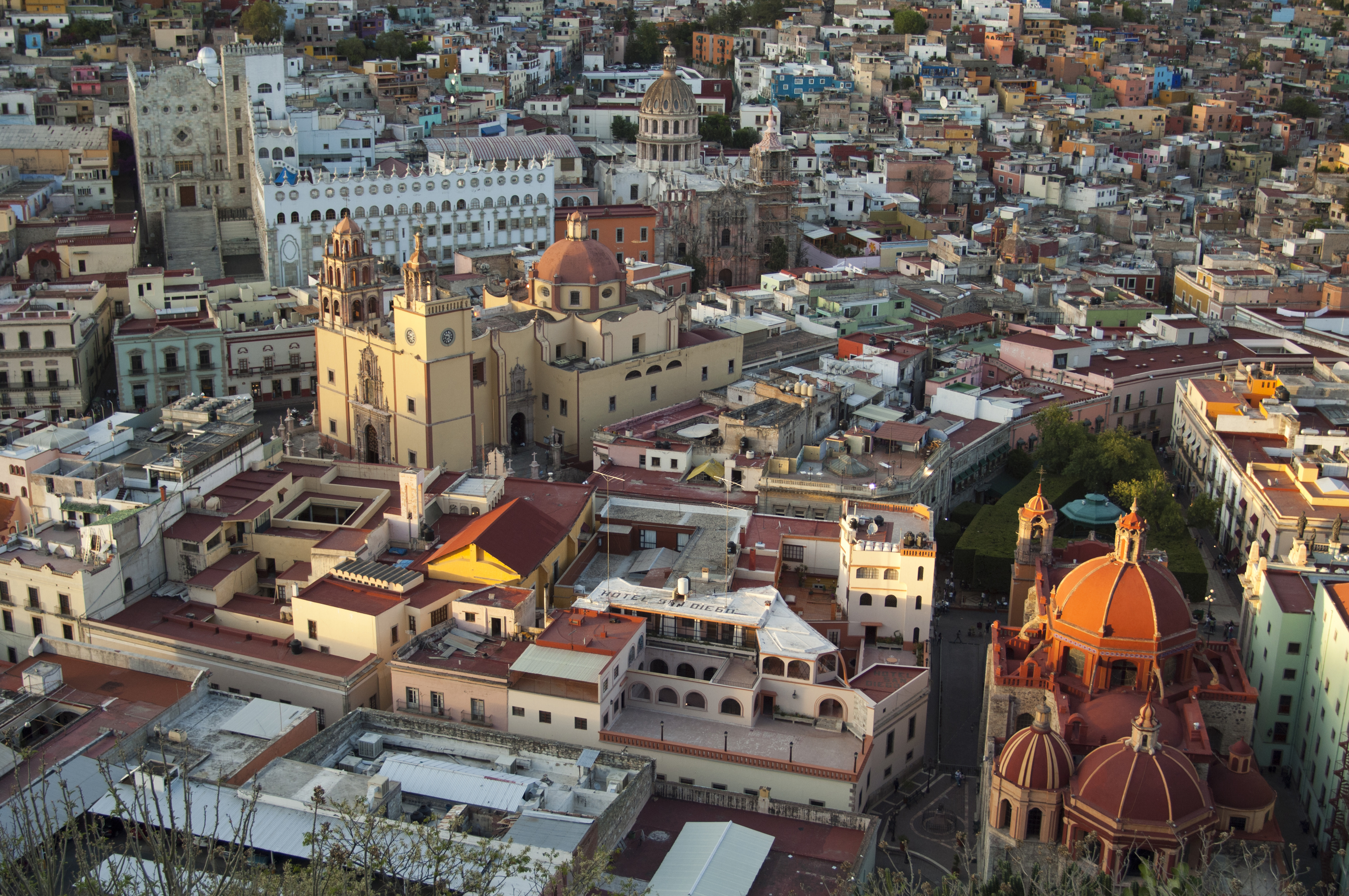
The city of Guanajuato, whose name derives from the Purépecha expression kuanasïuatu: “hill or mountainous place of frogs,” is located in a canyon surrounded by hills.
Centro histórico de la ciudad de Guanajuato y sus minas adyacentes
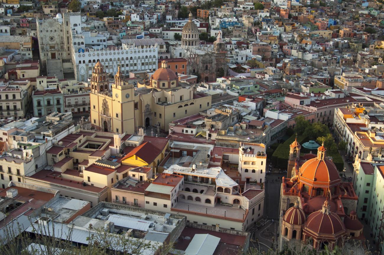

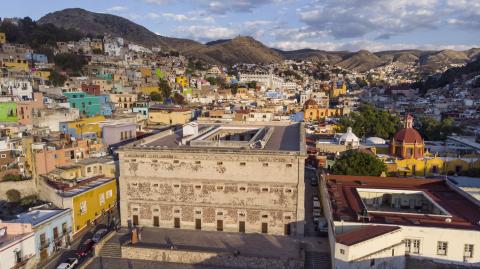
The city of Guanajuato, whose name derives from the Purépecha expression kuanasïuatu: “hill or mountainous place of frogs,” is located in a canyon surrounded by hills. Although this region was inhabited for many centuries by Chichimeca groups, with the arrival of the Spanish and the discovery of various mines, Guanajuato would become one of the richest cities in New Spain during the 17th and 18th centuries.
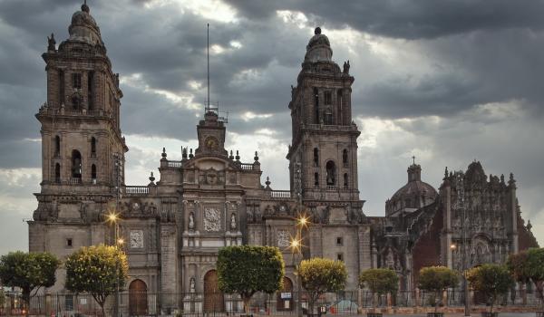
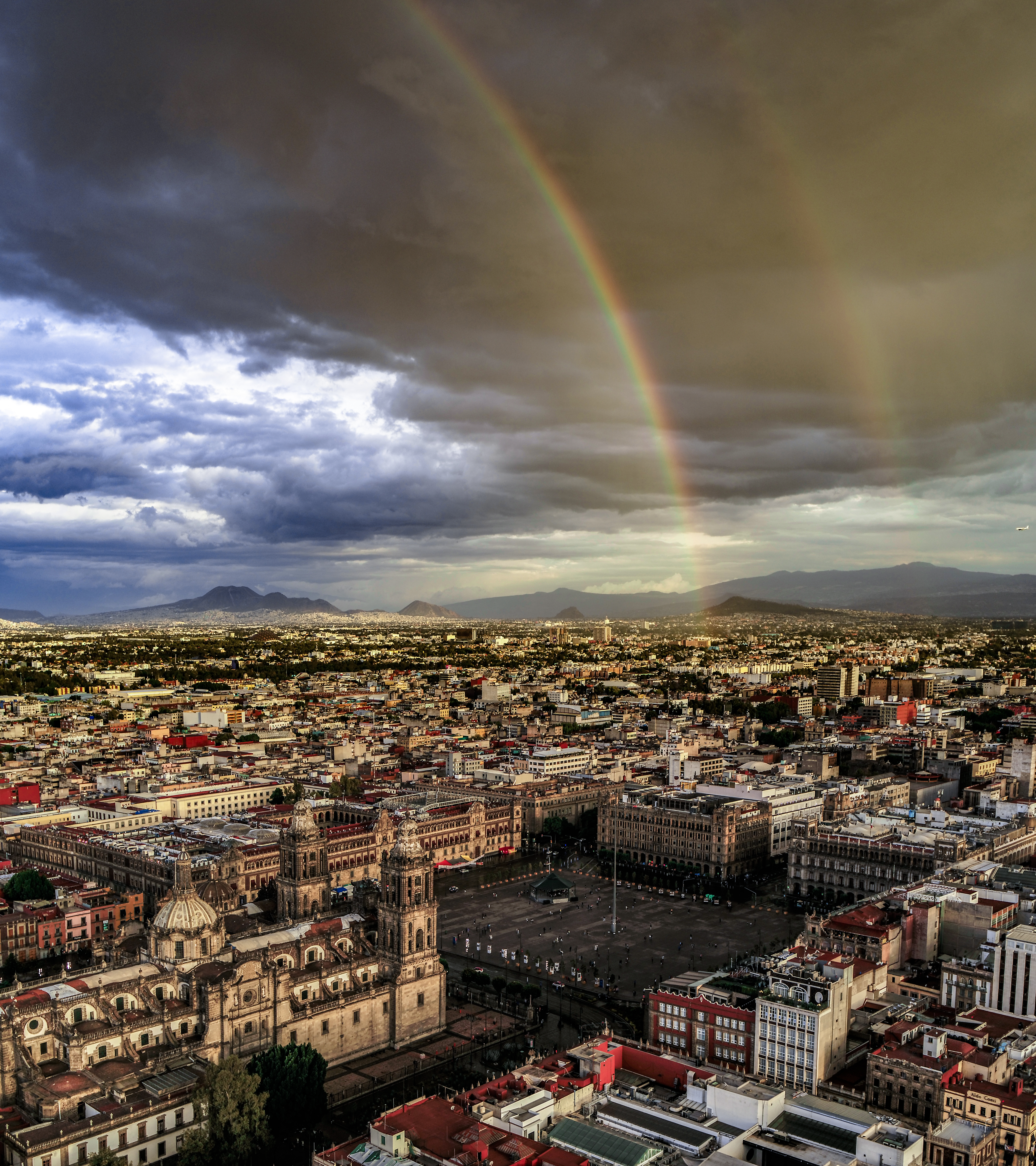
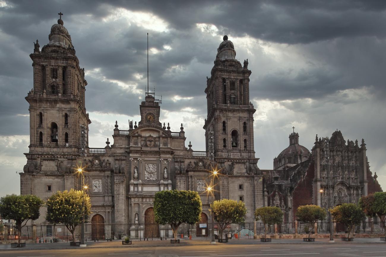
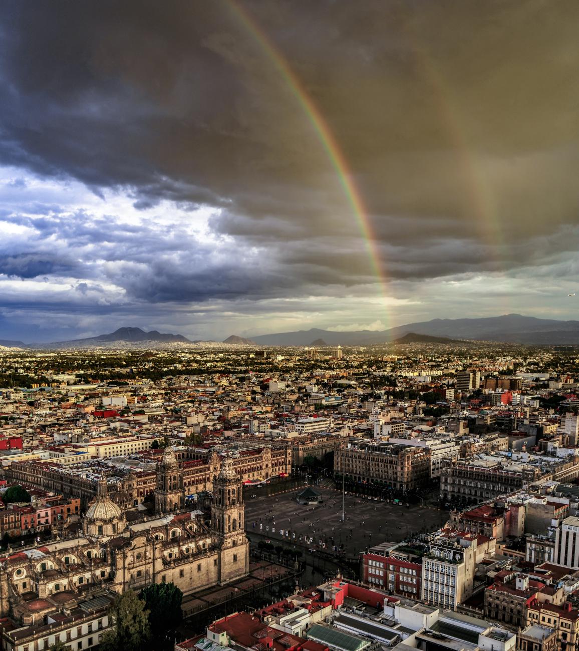
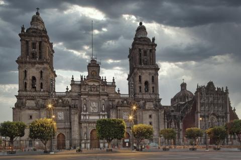
Centro histórico de la Ciudad de México
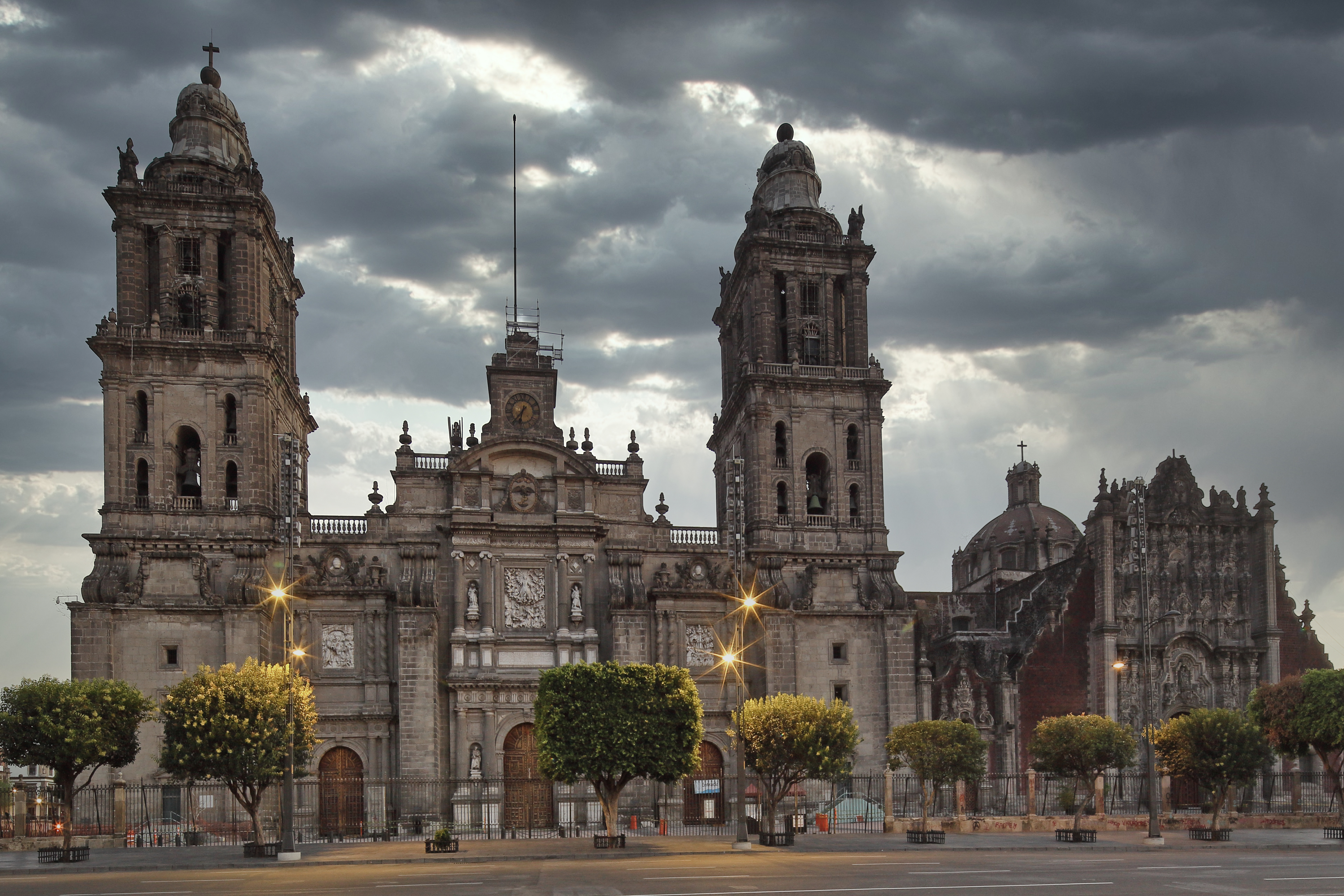
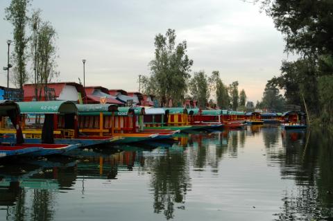
After the defeat of the Mexica empire, the city of Mexico Tenochtitlan was reconfigured in the Spanish style. The new urban layout would transform Mexico City into a point of significant political, religious, economic, and cultural importance.
Centro histórico de la Ciudad de México

After the defeat of the Mexica empire, the city of Mexico Tenochtitlan was reconfigured in the Spanish style. The new urban layout would transform Mexico City into a point of significant political, religious, economic, and cultural importance.
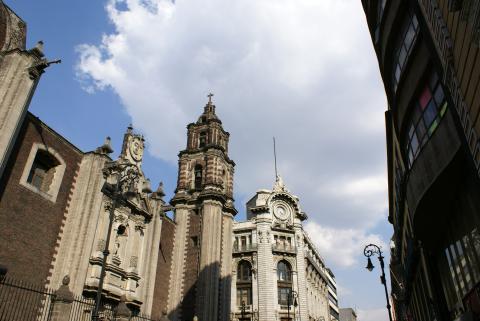
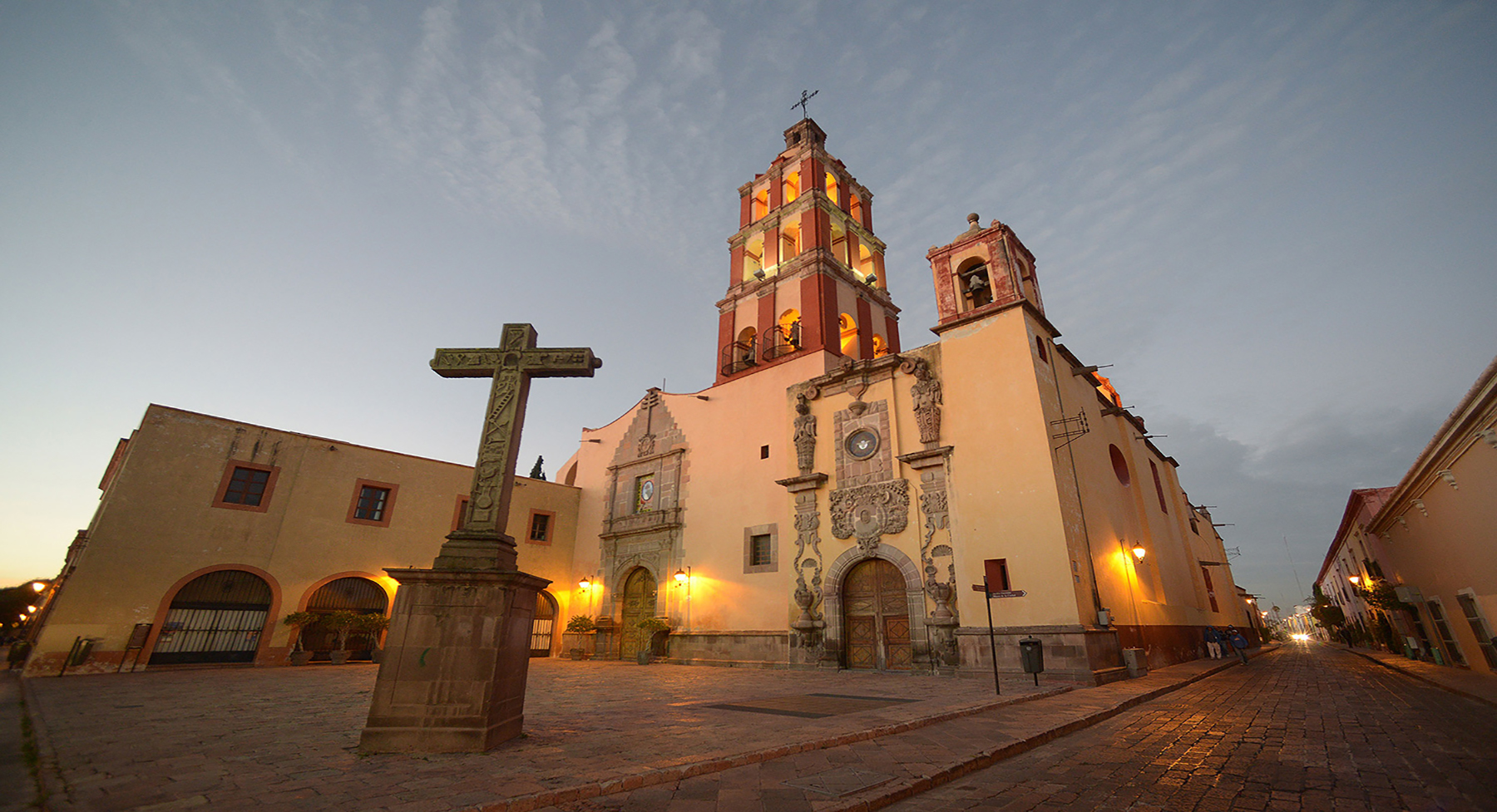
Centro histórico de la ciudad de Querétaro
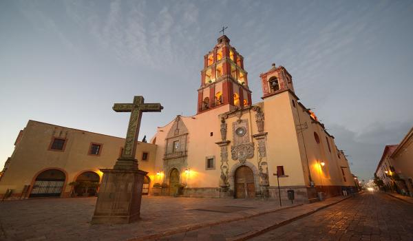
In 1529, a group of families belonging to an Otomi population called Nopala, who lived in the province of Jilotepec, set out for the area of La Cañada, in what is now the state of Querétaro.
Centro histórico de la ciudad de Querétaro

In 1529, a group of families belonging to an Otomi population called Nopala, who lived in the province of Jilotepec, set out for the area of La Cañada, in what is now the state of Querétaro. This area was inhabited by Chichimeca groups with whom the native leader of the group, named Conín, maintained a friendship and exchanged animal skins that the locals traded for salt and grains.
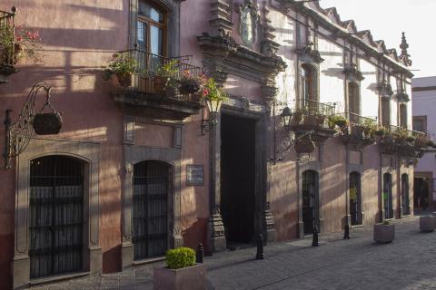
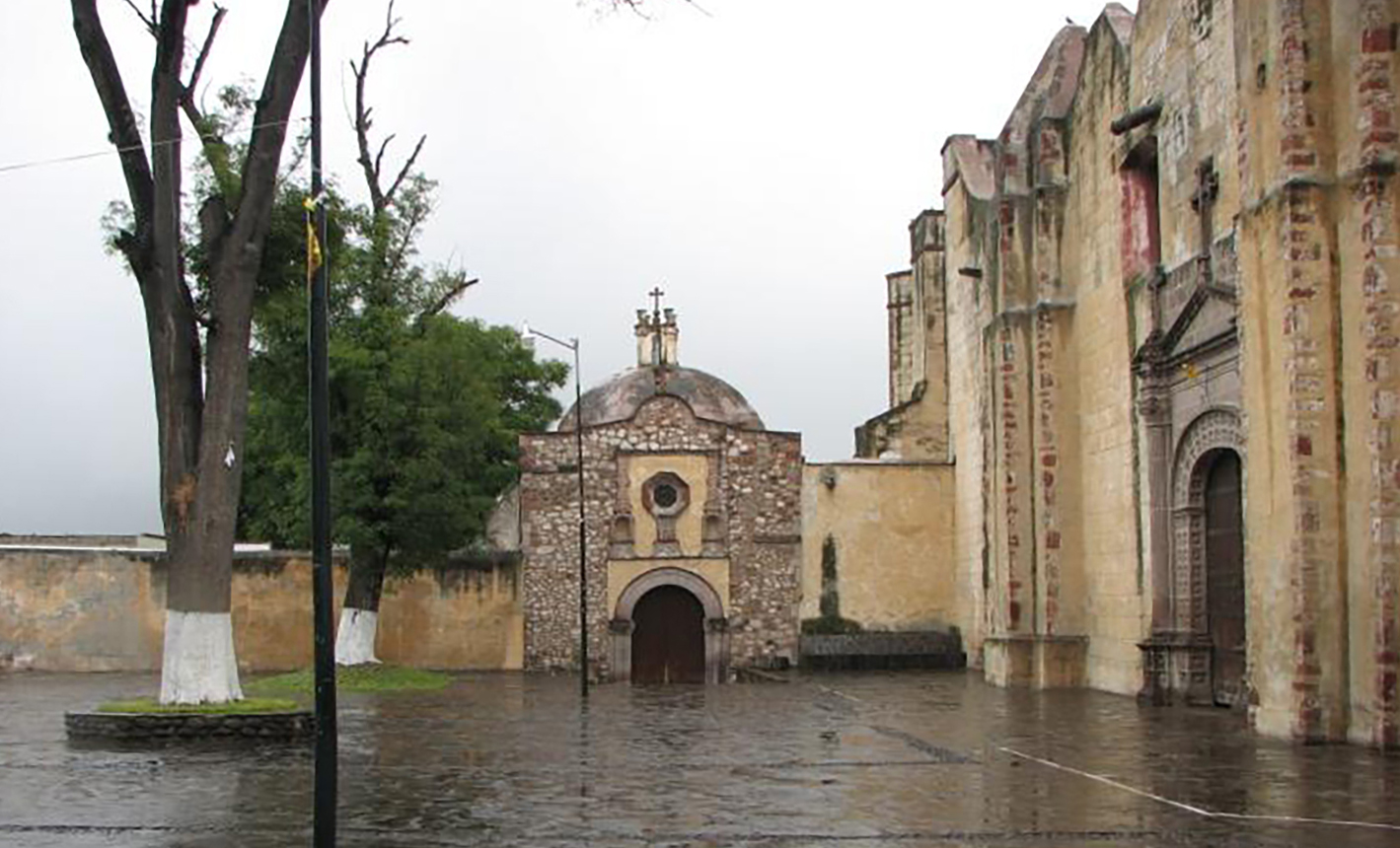
Centro histórico de la ciudad de San Juan del Río
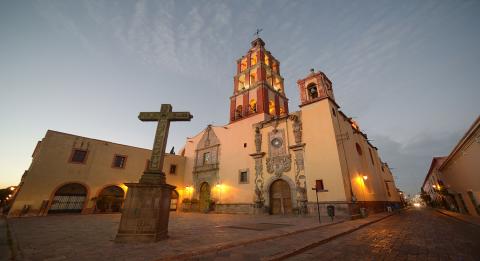
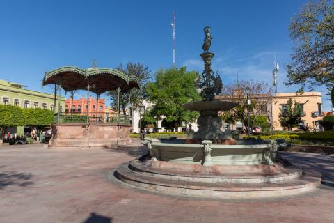
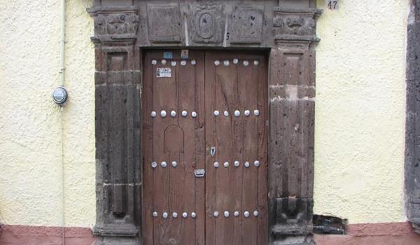
The town of San Juan del Río was founded in the first half of the 16th century, as part of the jurisdiction of the mayor's office of Querétaro.
Centro histórico de la ciudad de San Juan del Río
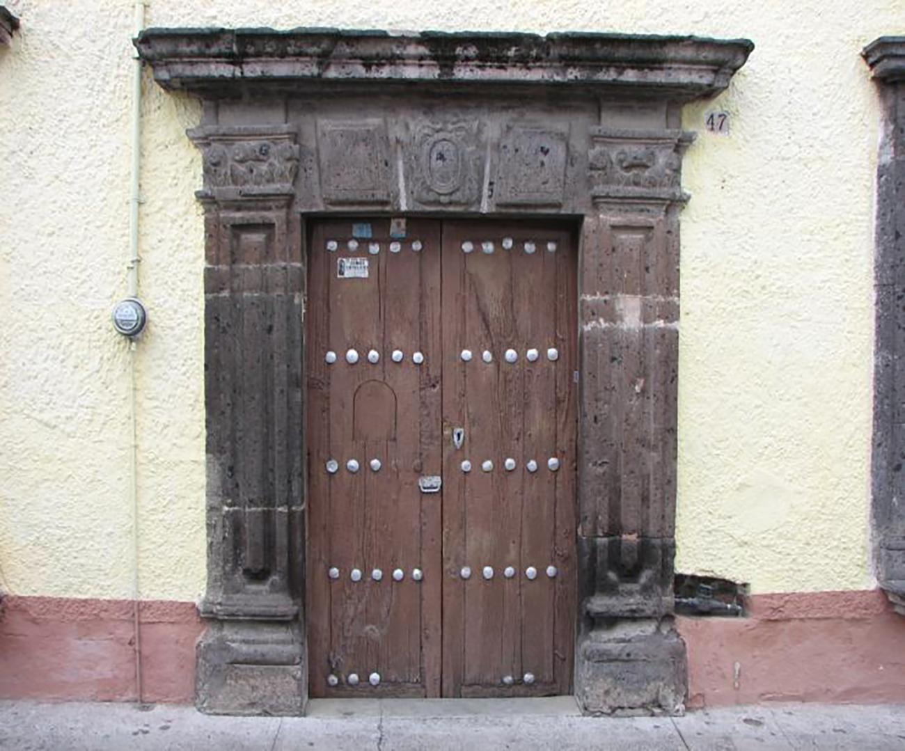

The town of San Juan del Río was founded in the first half of the 16th century, as part of the jurisdiction of the mayor's office of Querétaro. It gained importance following the territorial appropriation of the Bajío region by the Spanish, becoming a significant enclave for access to northern New Spain.
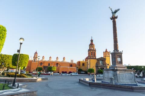
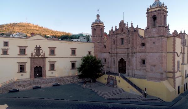
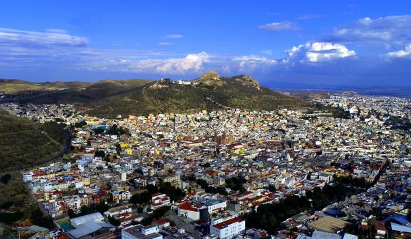
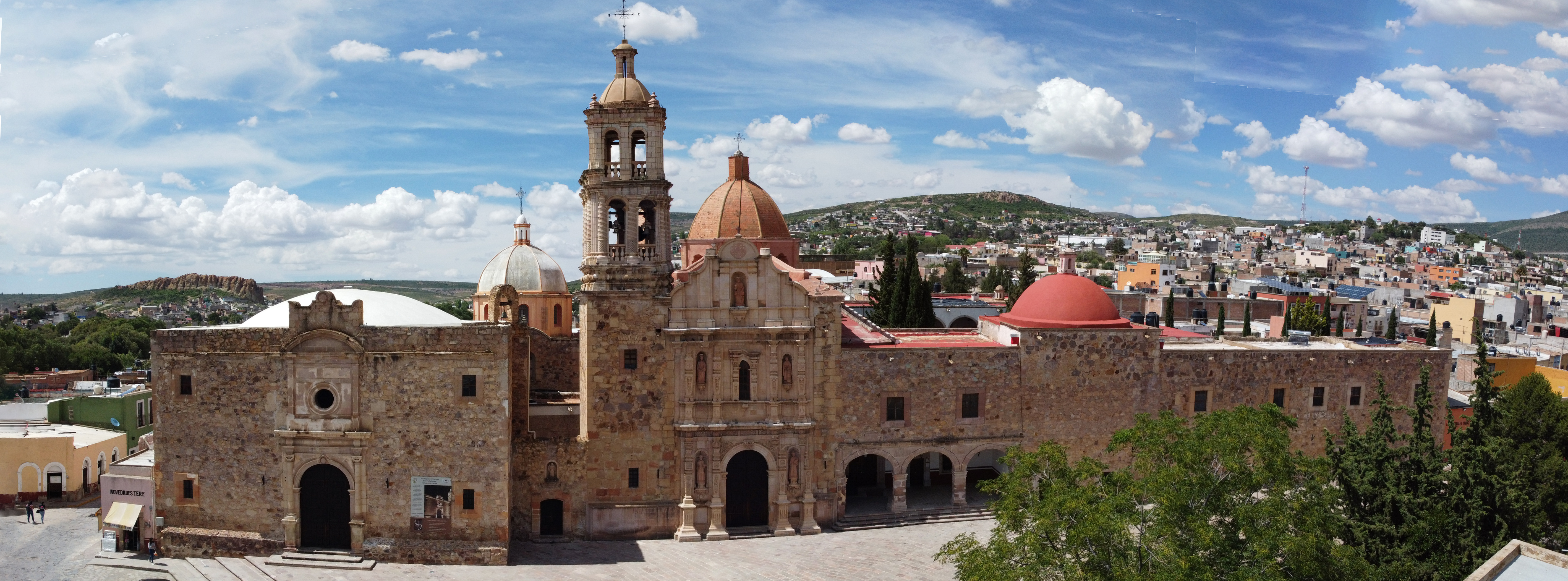
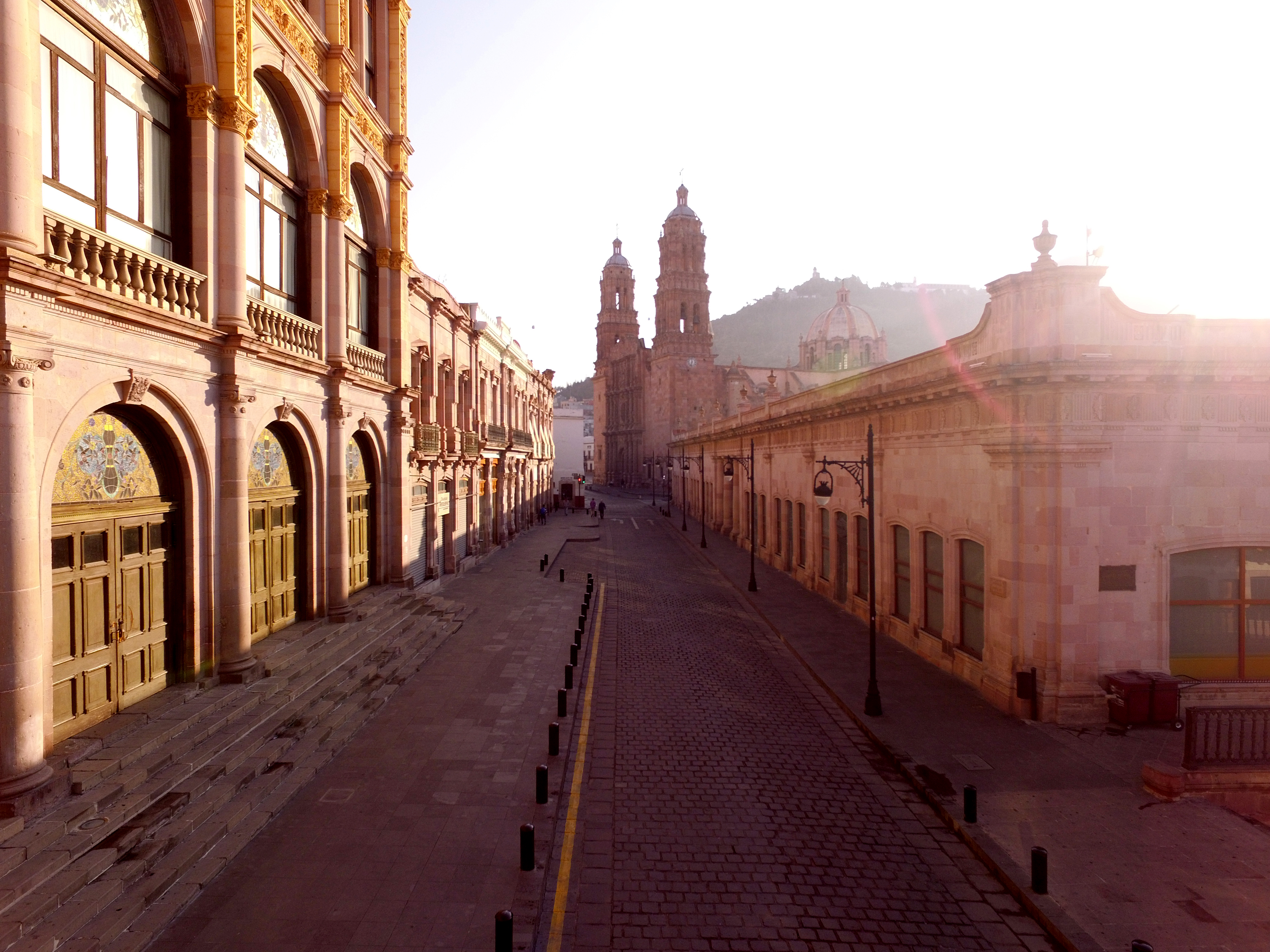
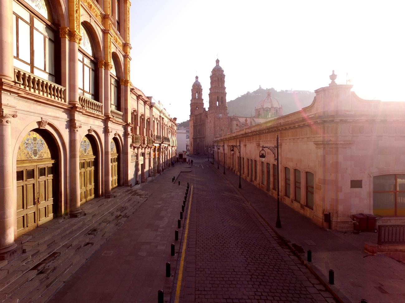
Centro histórico de la ciudad de Zacatecas
After the initial explorations, the Spaniards found in the territory of present-day Zacatecas large expanses of open grasslands with high forage value, crucial for maintaining livestock herds.
Centro histórico de la ciudad de Zacatecas
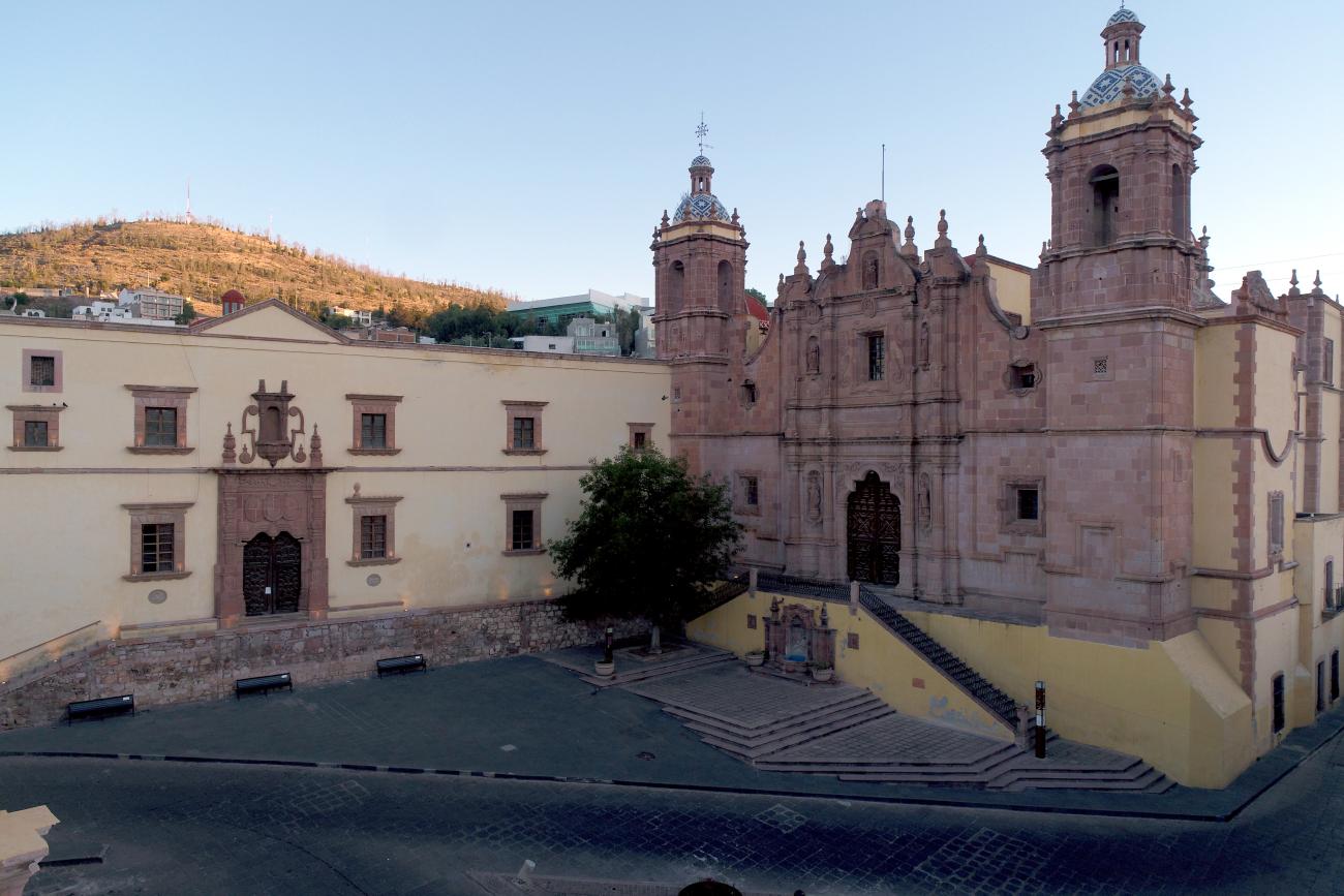
After the initial explorations, the Spaniards found in the territory of present-day Zacatecas large expanses of open grasslands with high forage value, crucial for maintaining livestock herds.