




Camino Real de Tierra Adentro
Camino Real de Tierra Adentro

World Heritage
Patrimonio mundial
Cultural
Cultural route
Used between the 16th and 19th centuries, this road was used to transport silver extracted from the mines of Zacatecas, Guanajuato and San Luis Potosí, as well as mercury imported from Europe. Although its origin and use are linked to mining, the Camino Real de Tierra Adentro also fostered the establishment of social, cultural and religious links between Hispanic and Amerindian cultures.
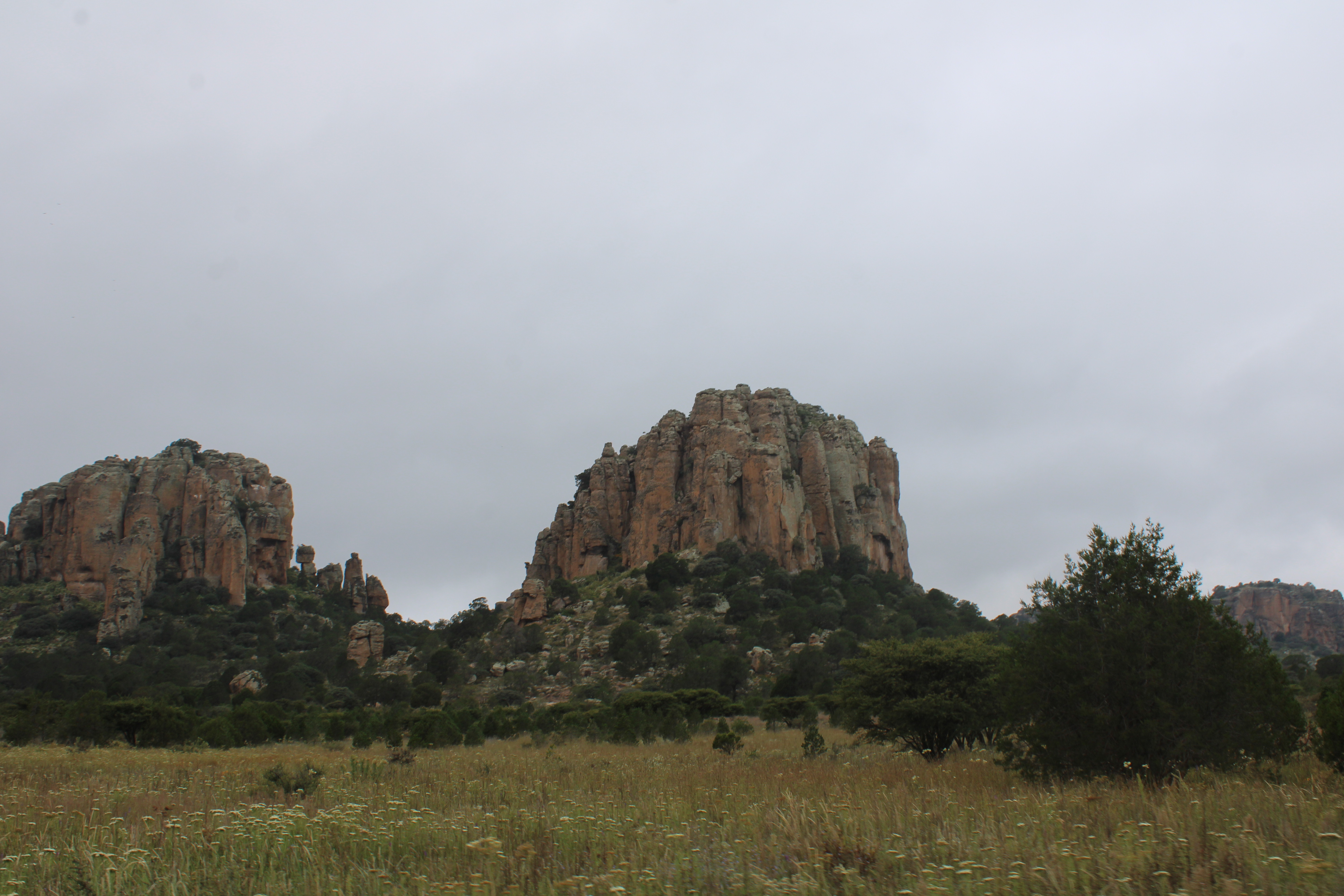
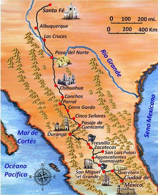
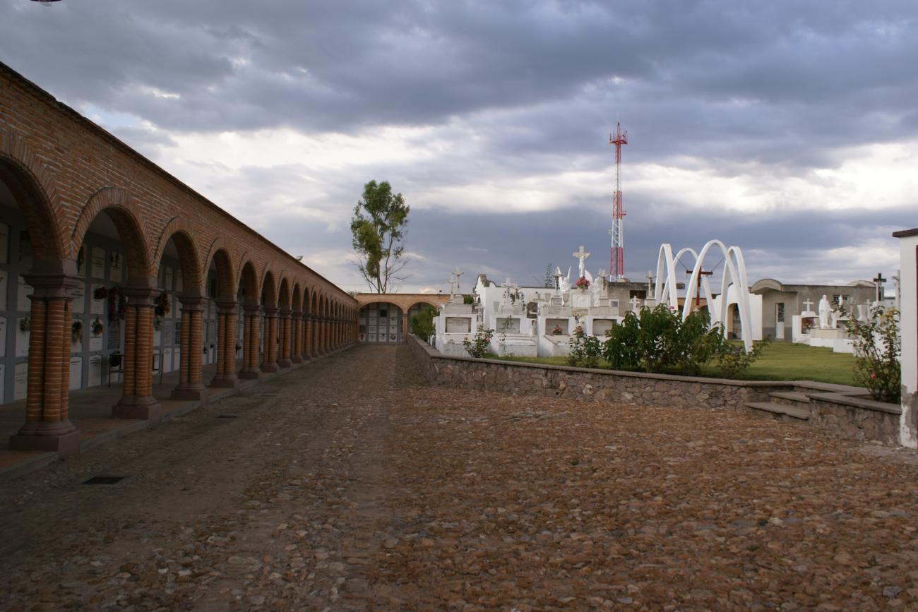
The Camino Real de Tierra Adentro constitutes a part of the Spanish Intercontinental Royal Route from Mexico City to Santa Fe. The property, consists of five existing urban World Heritage sites and 55 other sites related to the use of the road, such as bridges, former haciendas, historic centres/towns, a cemetery, former convents, a mountain range, stretches of road, a mine, chapels/temples and caves within a 1,400 km stretch of the road between Mexico City and the Town of Valle de Allende.
The Camino was an extraordinary phenomenon as a communication channel. Silver was the driving force that generated the wealth and commitment of the Spanish Government and the will of colonists to ‘open up’ the northern territory for mining, to establish the necessary towns for workers and to build the forts, haciendas, and churches.
The outcome of this highly profitable process was the development of mines, and the construction of the road and bridges, the establishment of multi-ethnic towns, with elaborate buildings that reflect a fusion of Spanish and local decoration, an agricultural revolution in the countryside centered on large hacienda estates with churches, and the movement of peoples up and down the road, facilitated to a great degree initially by settlements of muleteers, all of which led to the development of a distinctive culture along the route.
Ultimately the wealth of silver led to massive economic development in Spain and other parts of Europe and a period of great economic inflation. The impact of the road was enormous in terms of social tensions as well as ultimately social integration between the many people that came to be involved in the economic development. The structures in the property together reflect some aspects of this interchange of ideas and people along the southern stretch of the road.
Declaratoria UNESCO

Patrimonio Cultural
Categoría Cultural route
Fecha 01-08-2010
Criterios de valor Universal Excepcional
Este lugar cumple con los siguientes criterios de valor Universal Excepcional
(ii)
To exhibit an important interchange of human values, over a span of time or within a cultural area of the world, on developments in architecture or technology, monumental arts, town-planning or landscape design.
(iv)
To be an outstanding example of a type of building, architectural or technological ensemble or landscape which illustrates (a) significant stage(s) in human history.
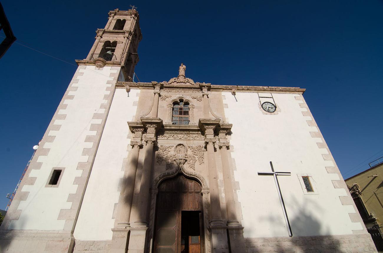
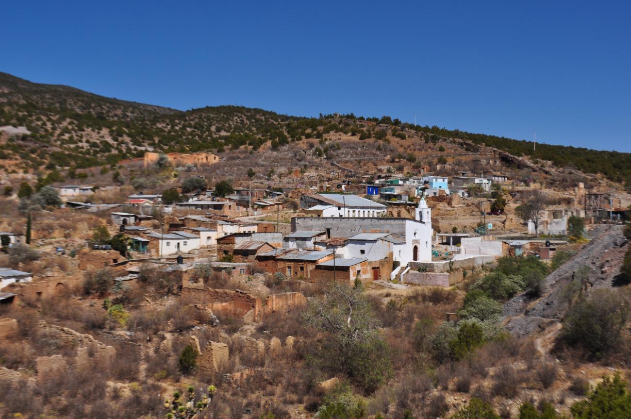


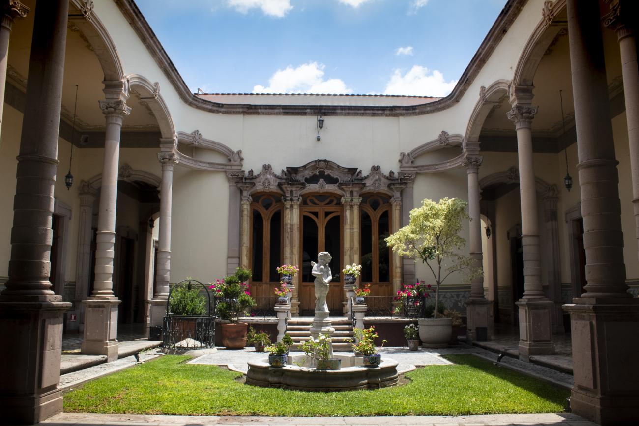
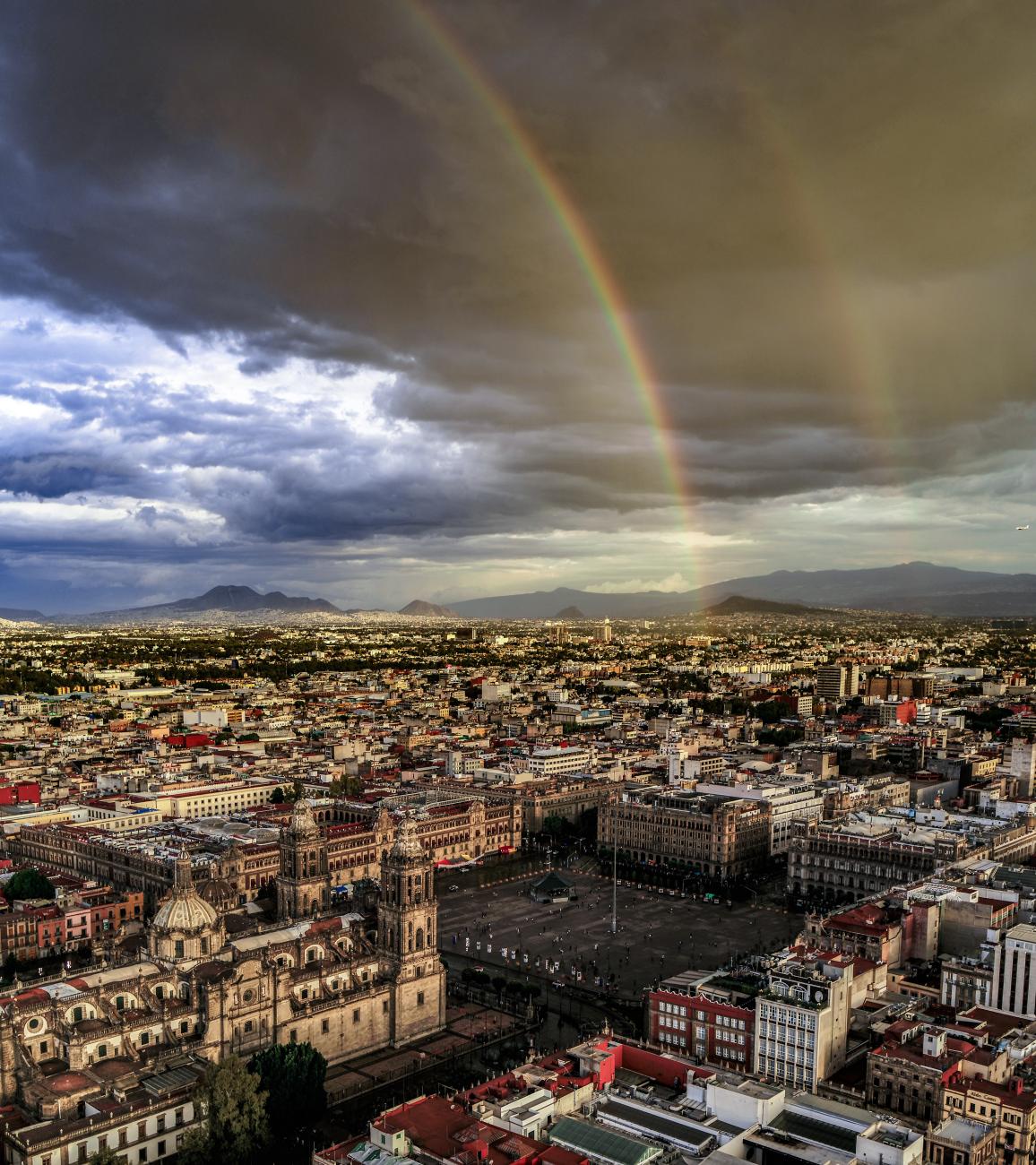
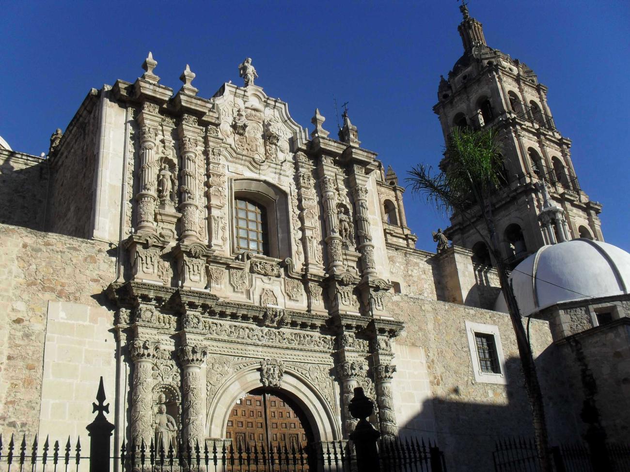
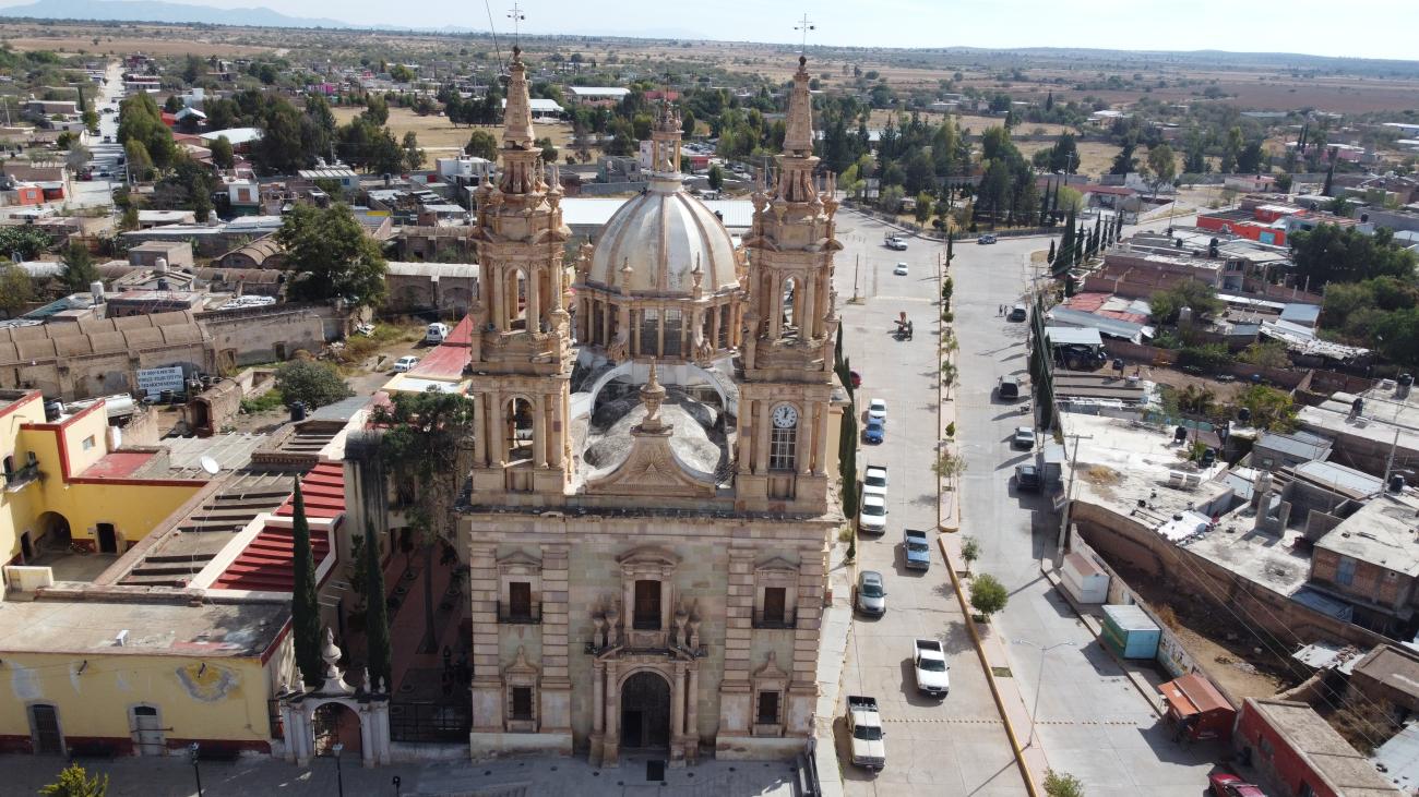


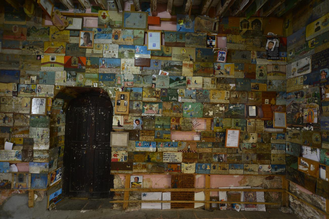
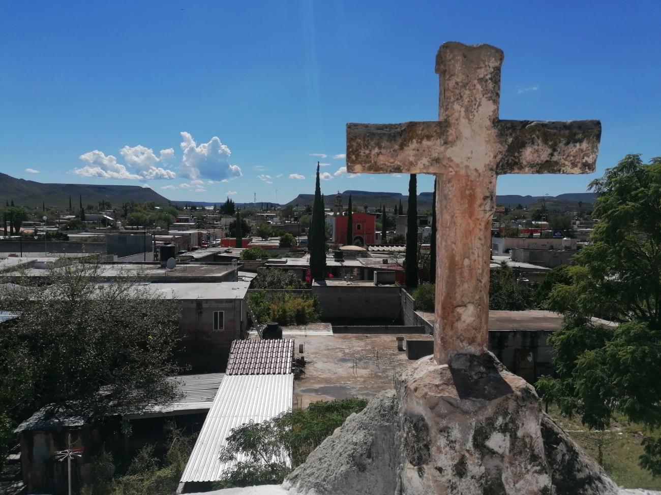
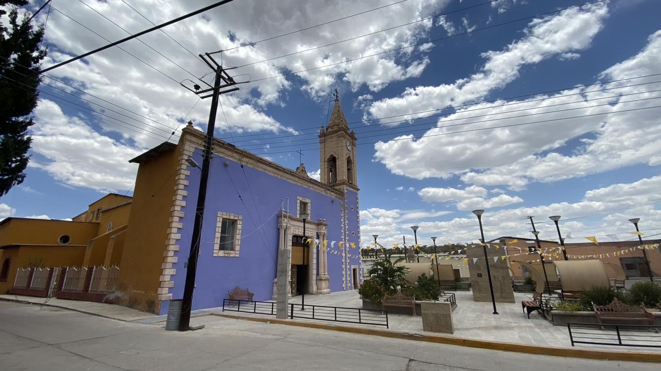


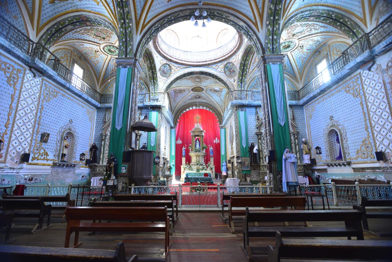
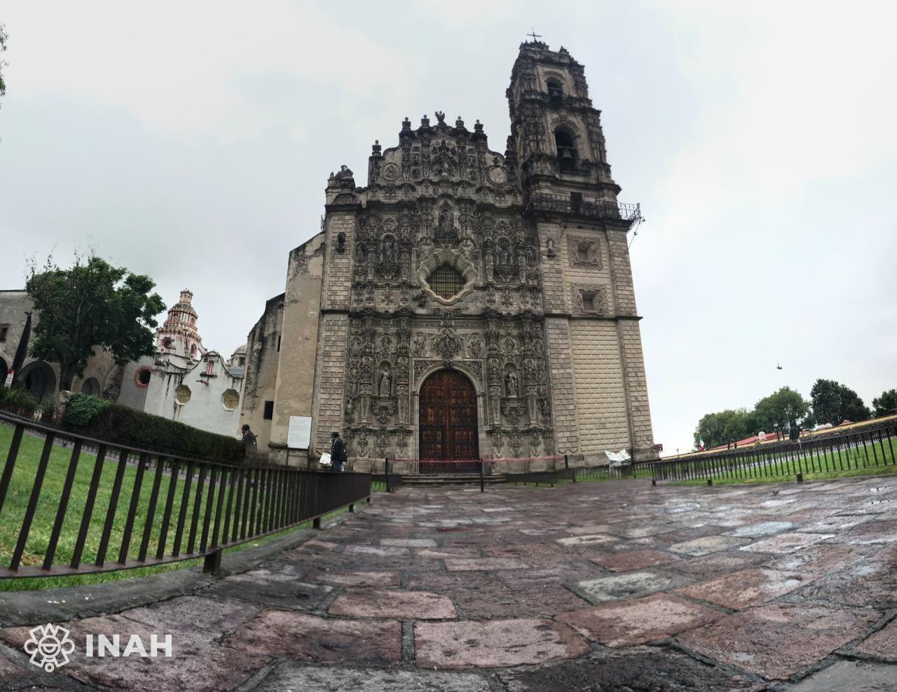

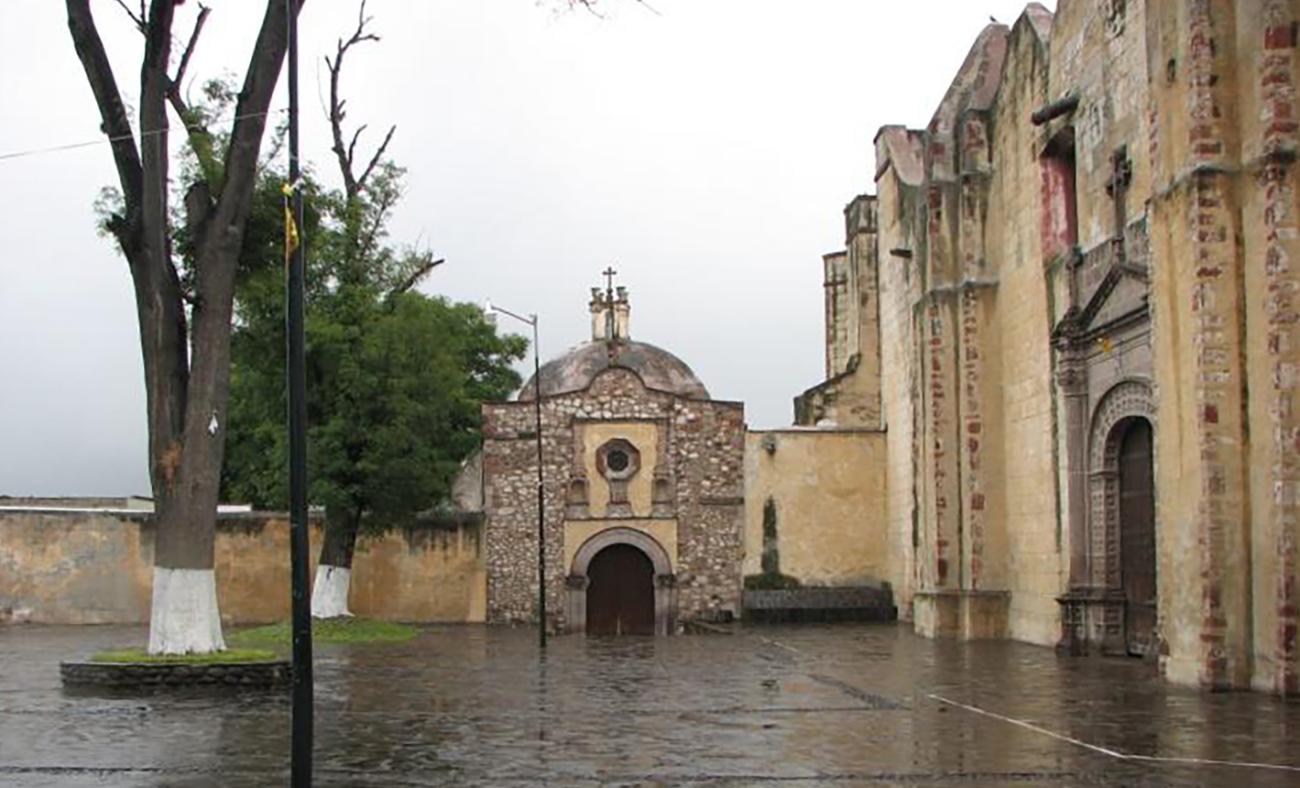

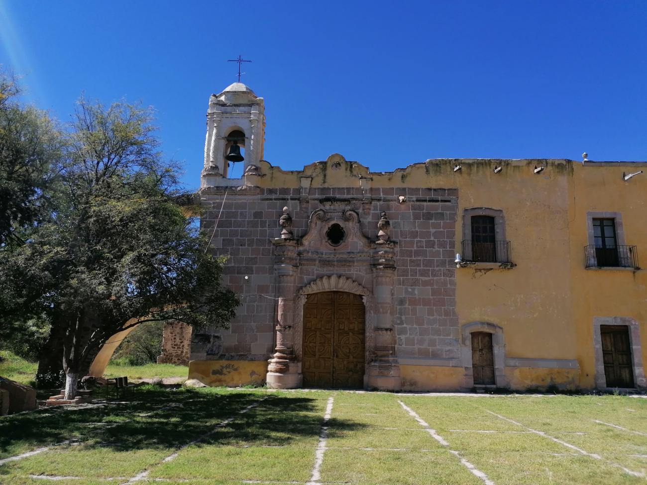
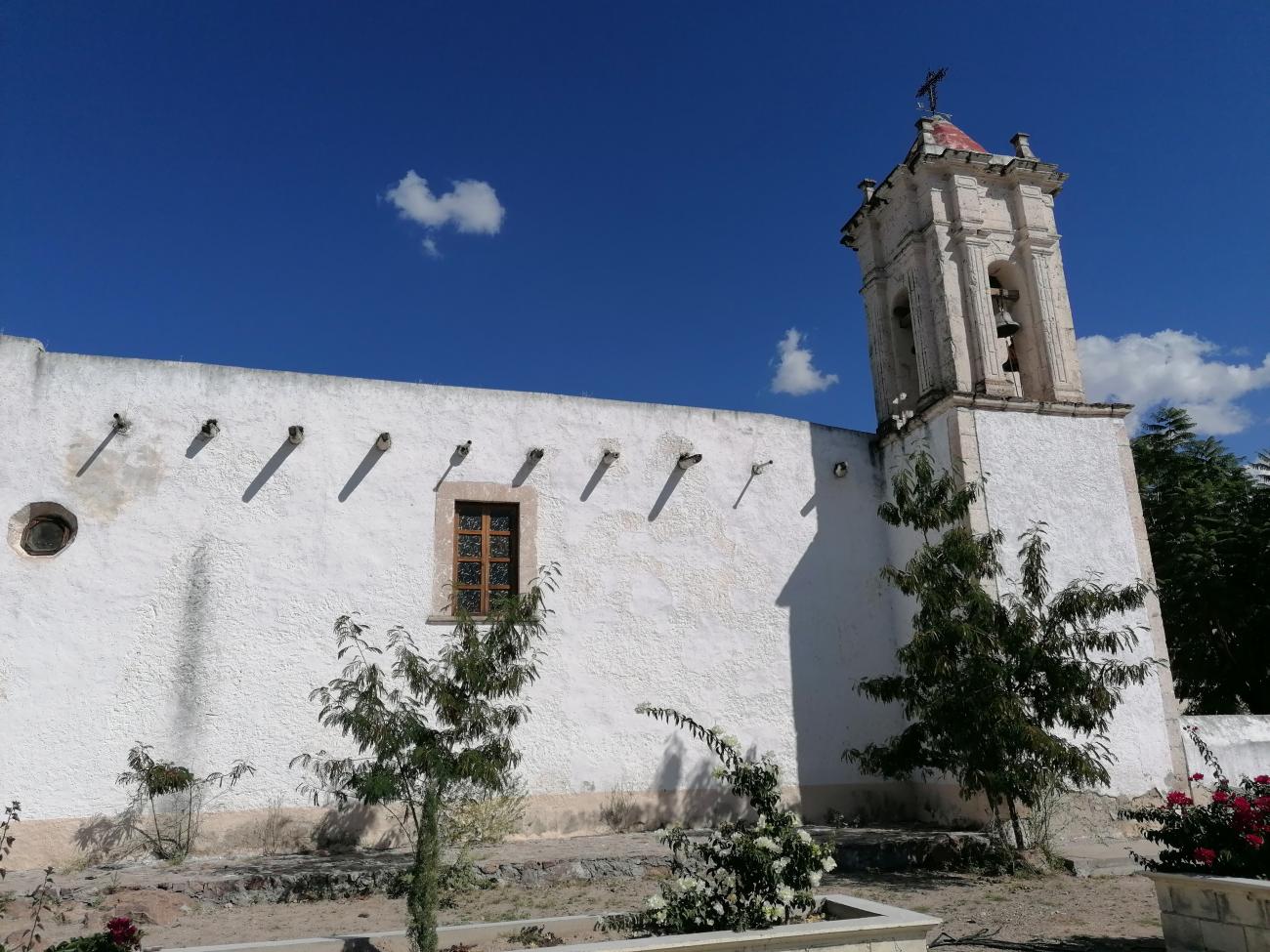

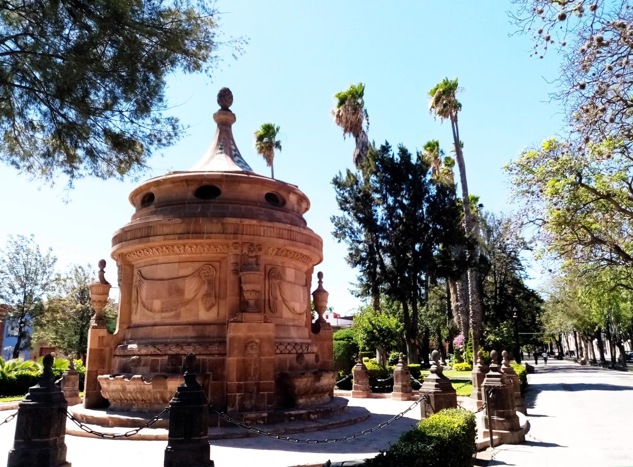
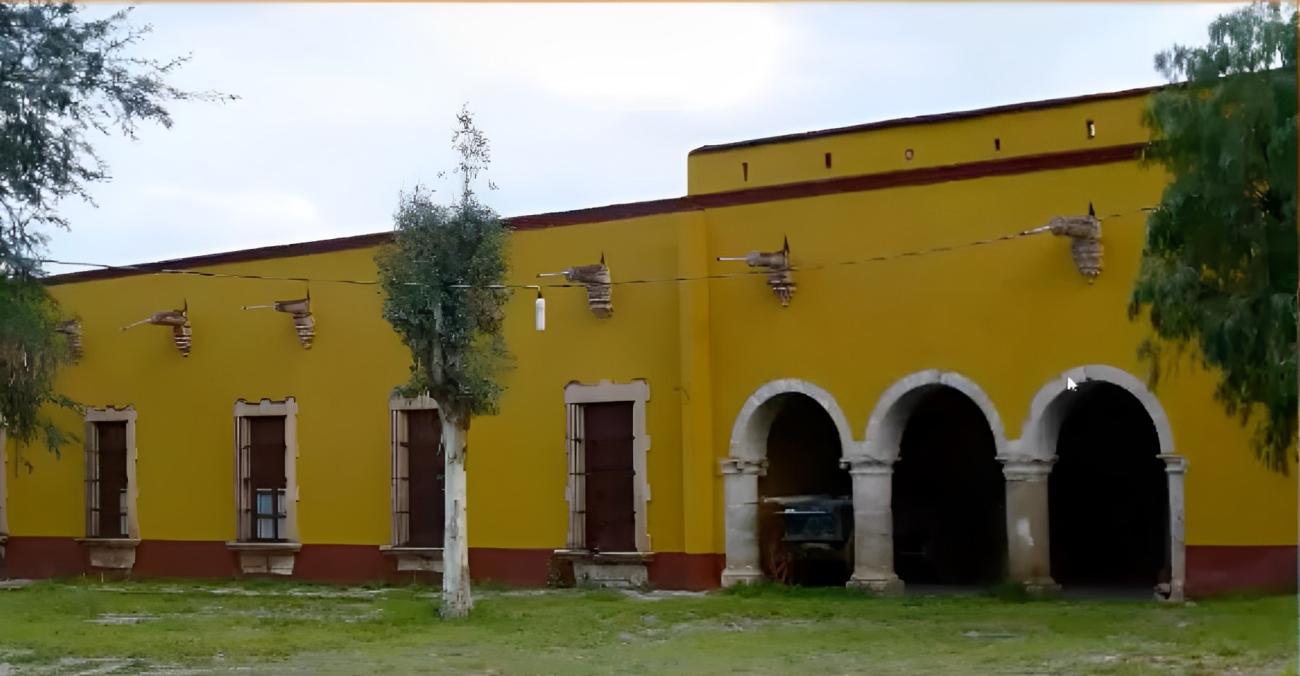
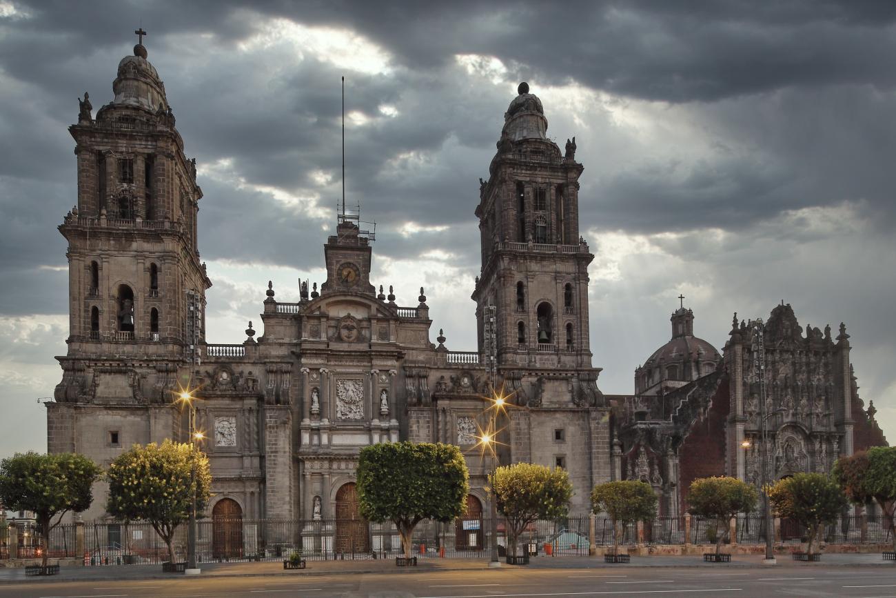
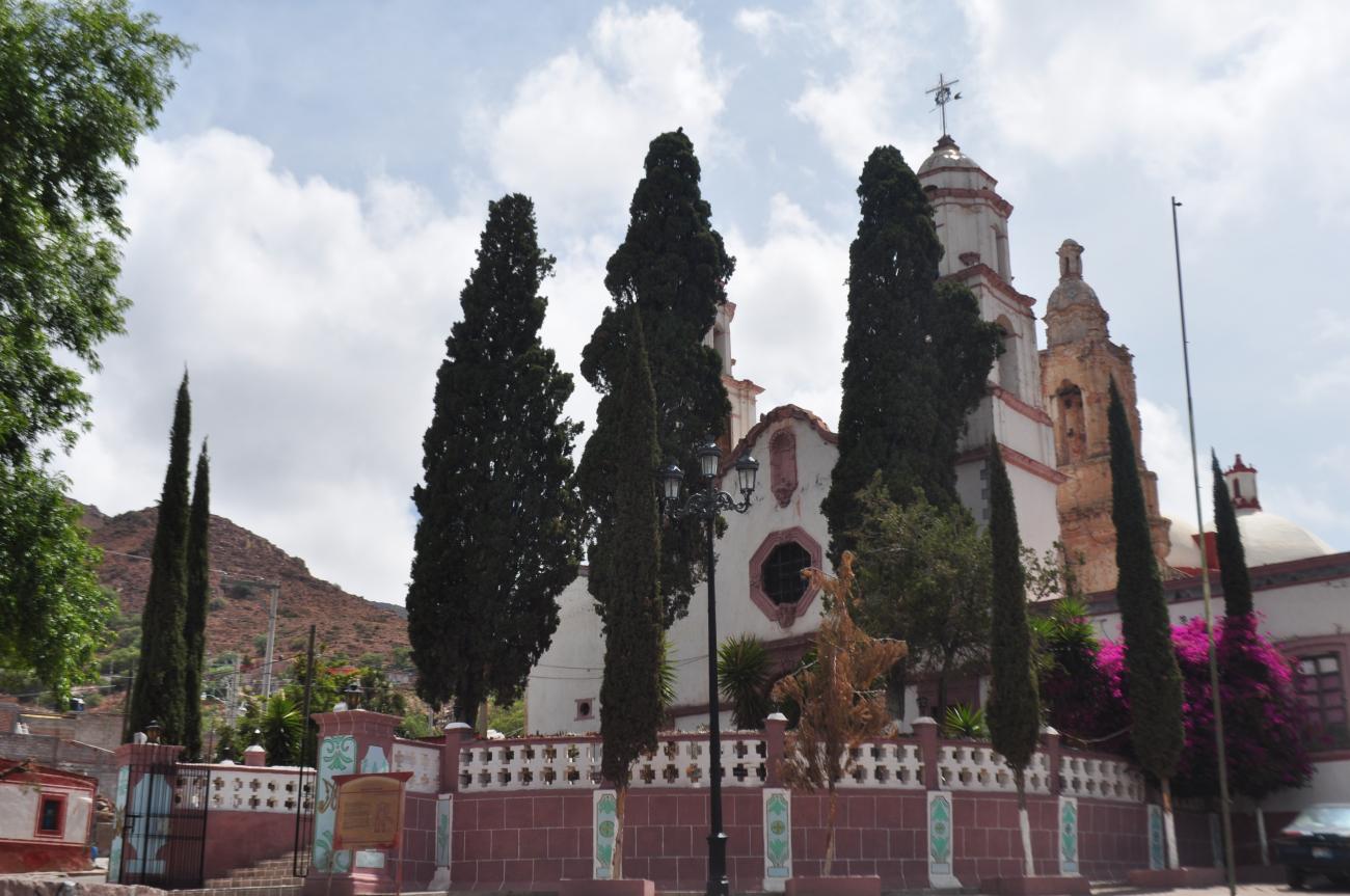
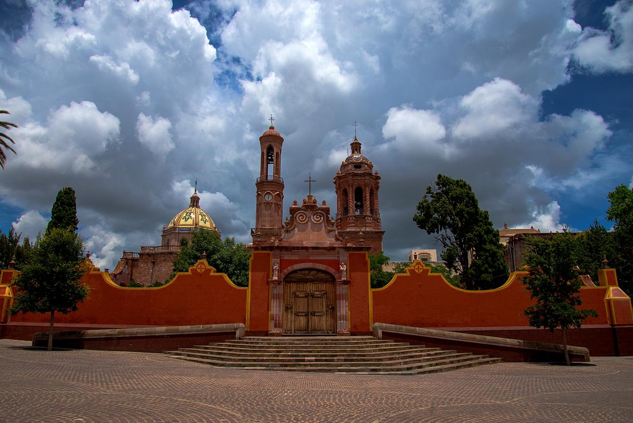

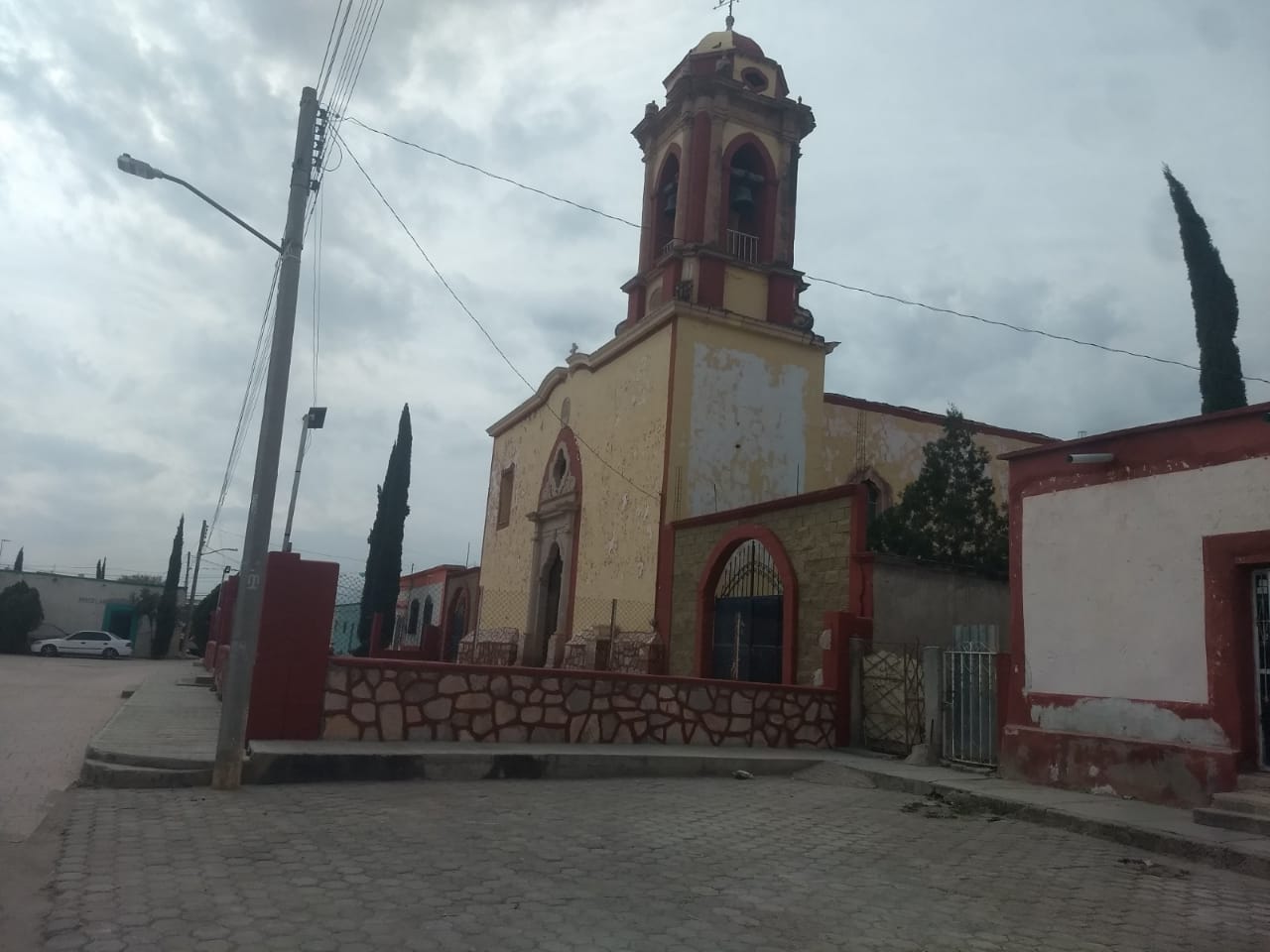
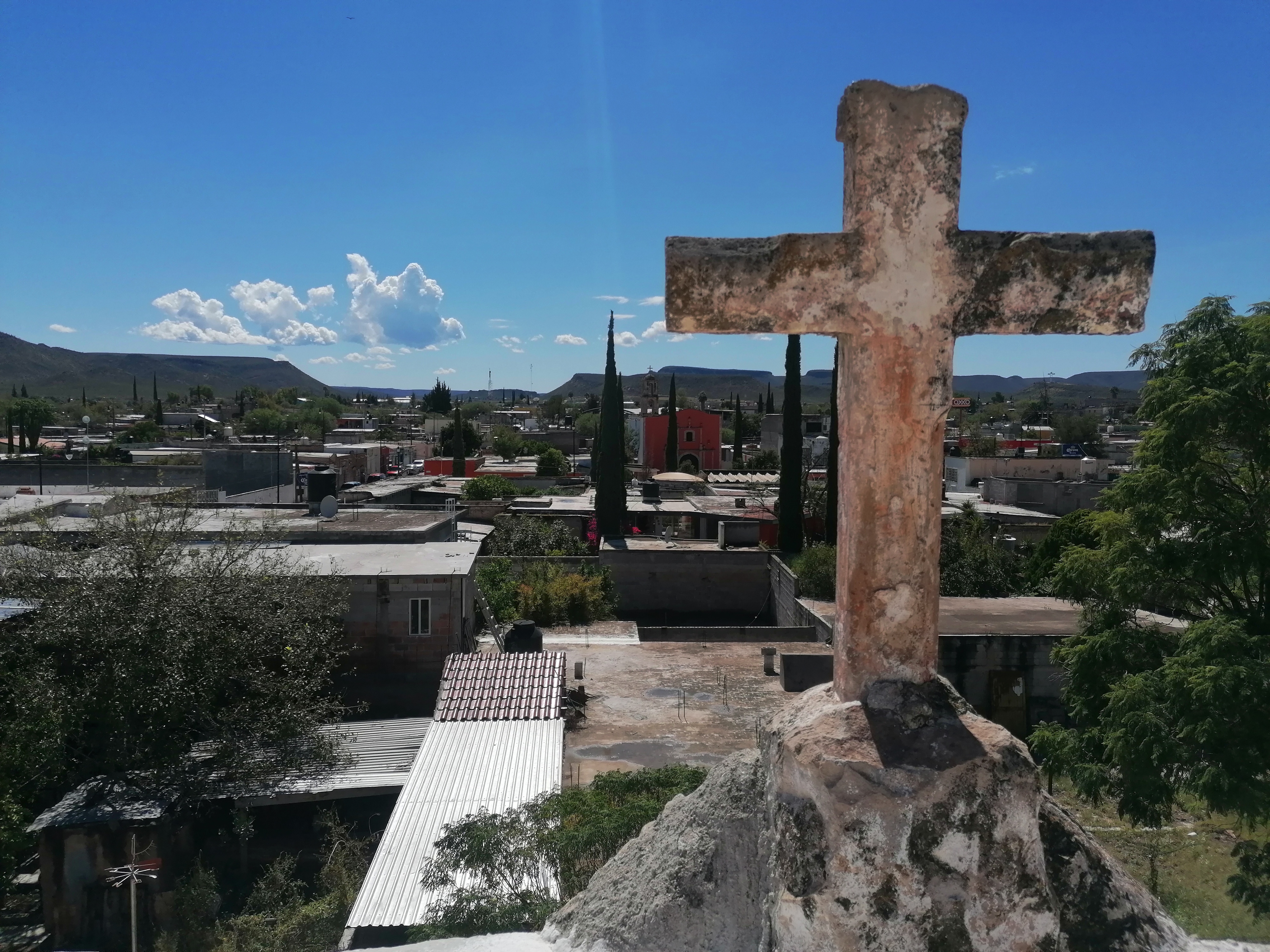
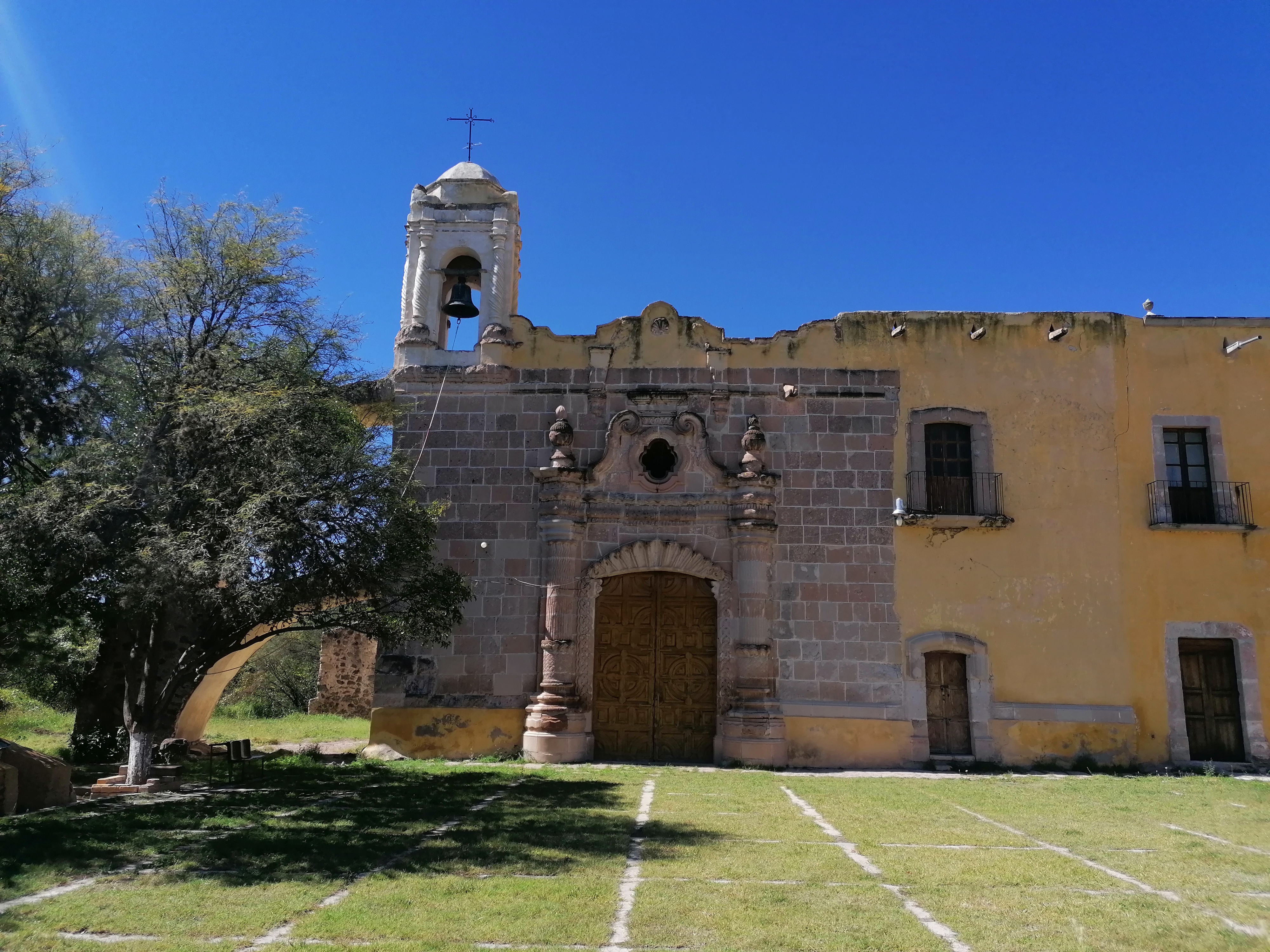
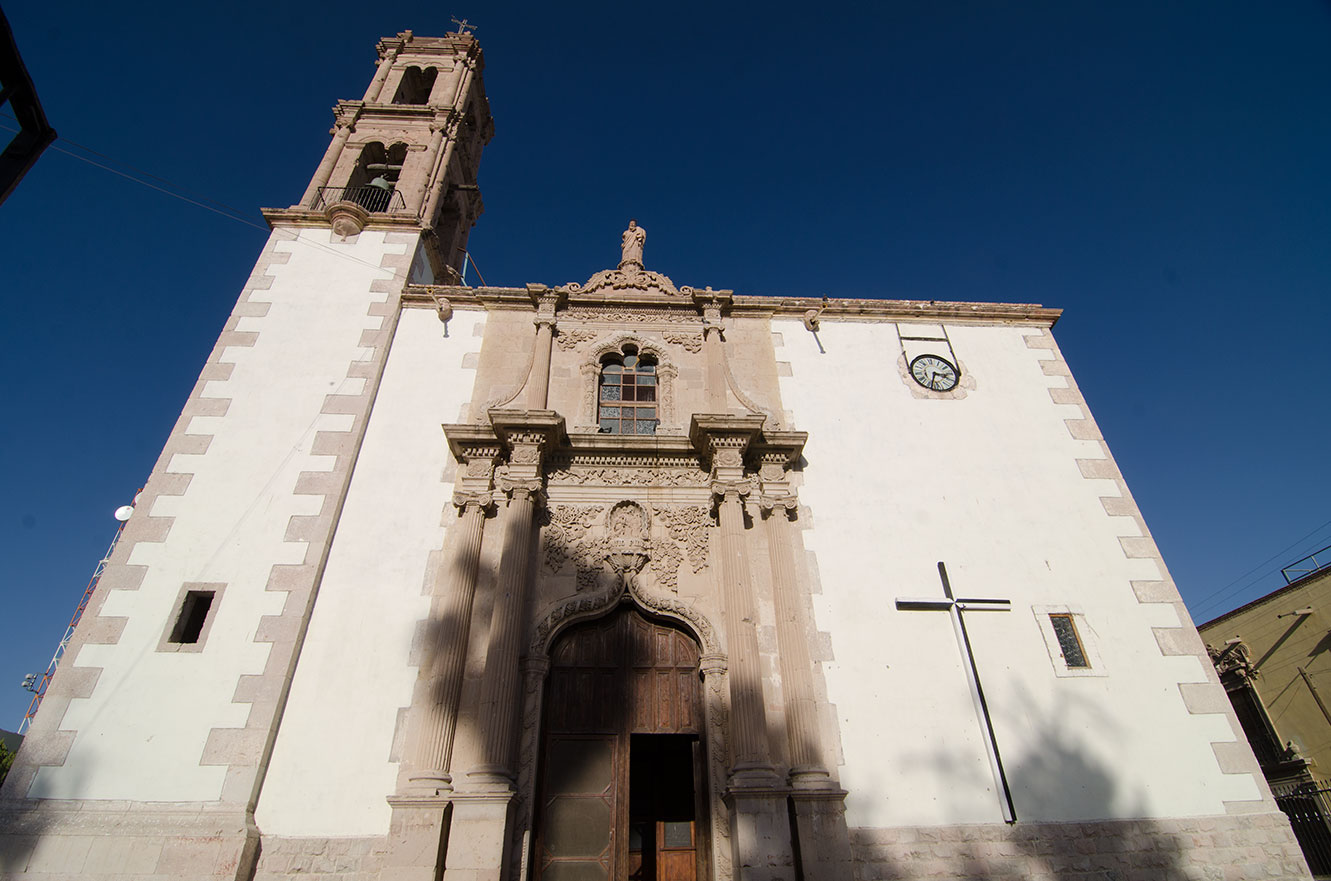
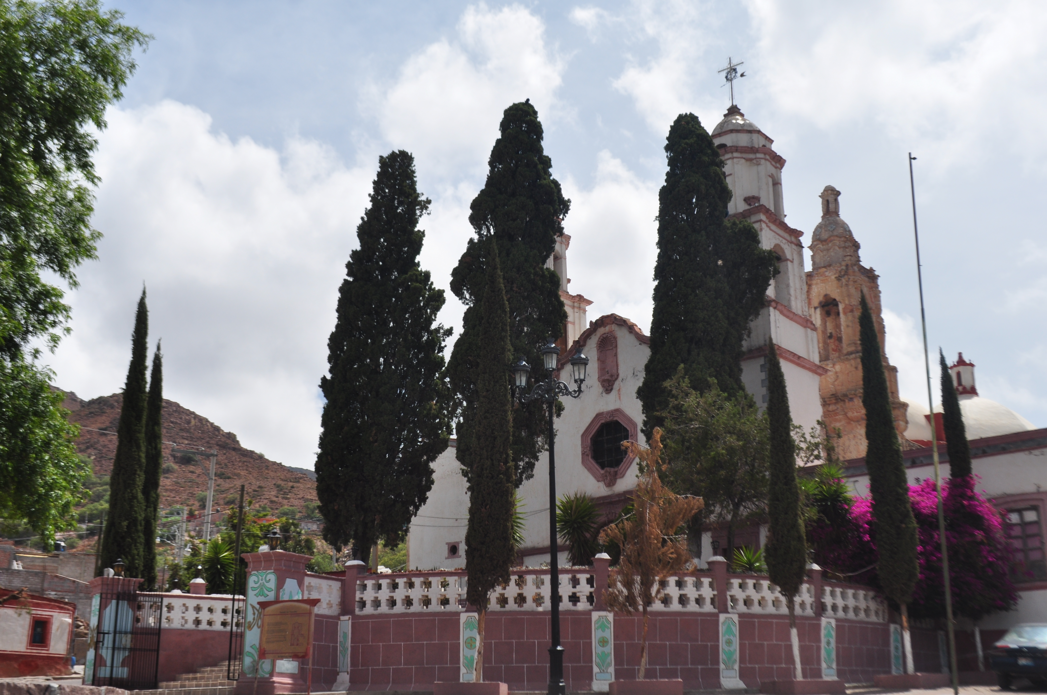
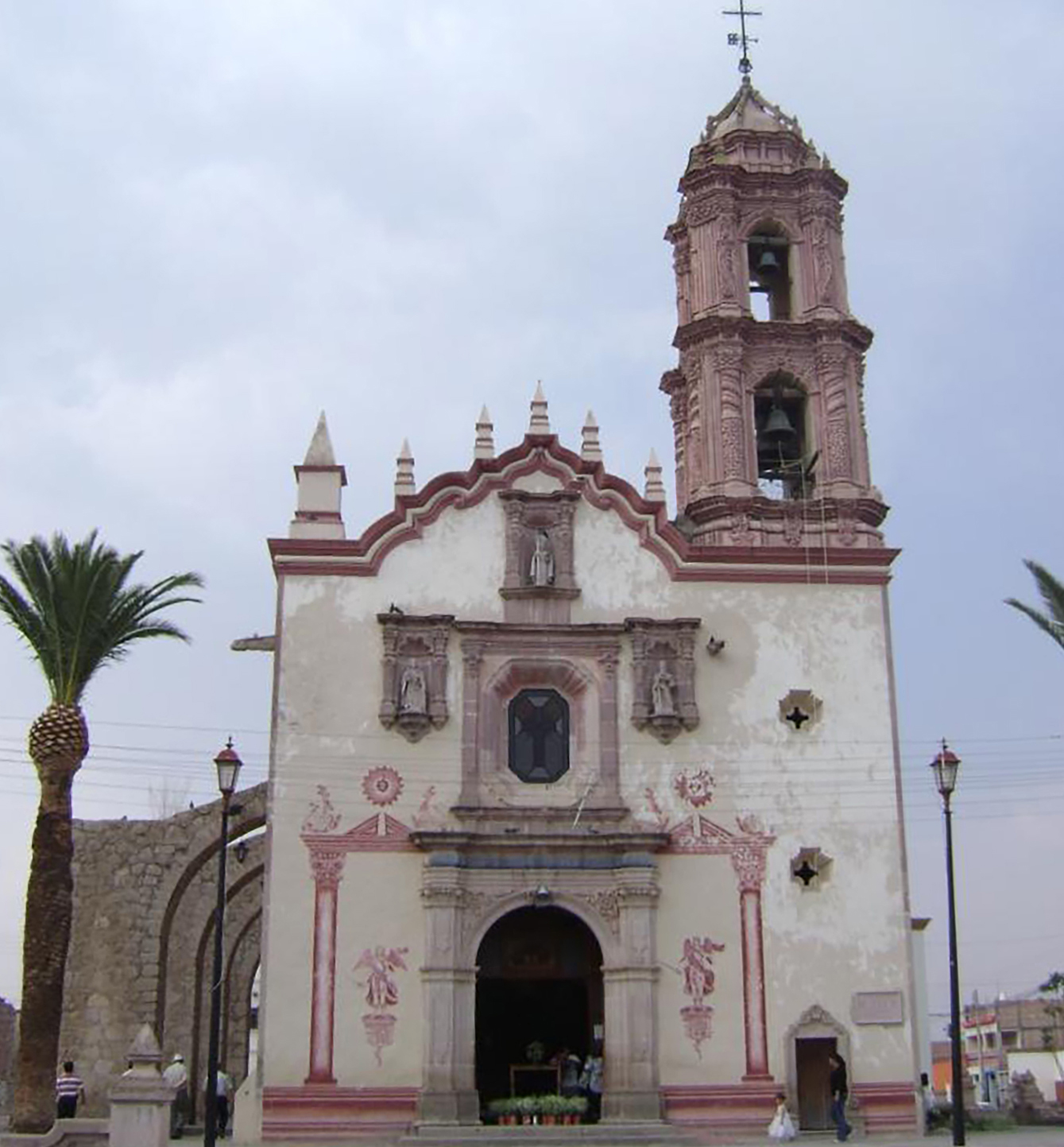
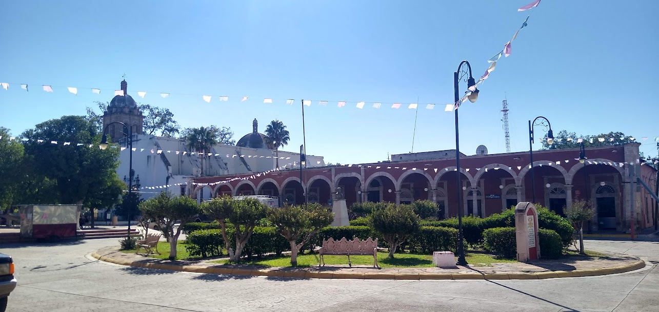
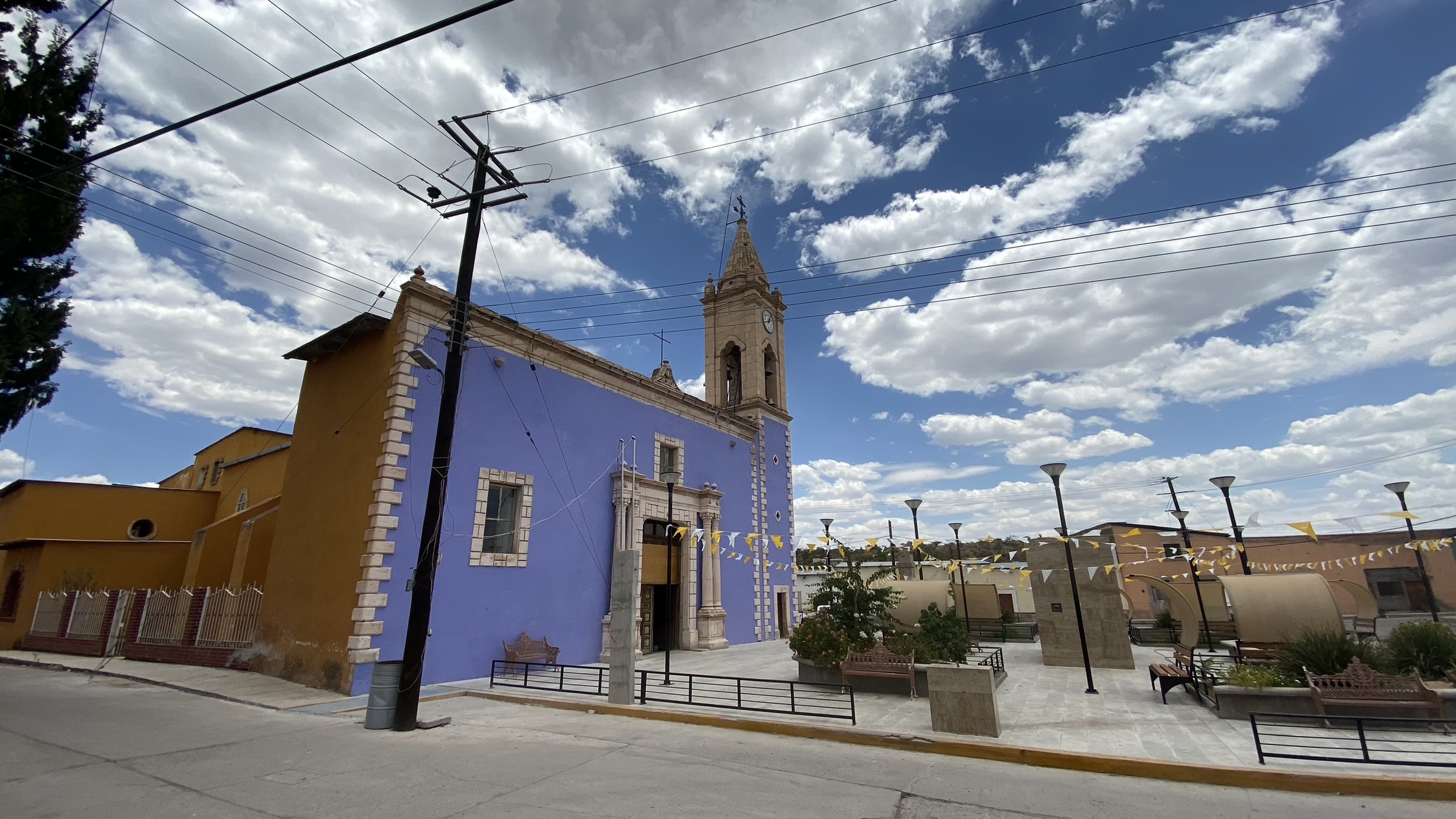
Templo de Nuestra Señora de los Dolores en Villa González Ortega
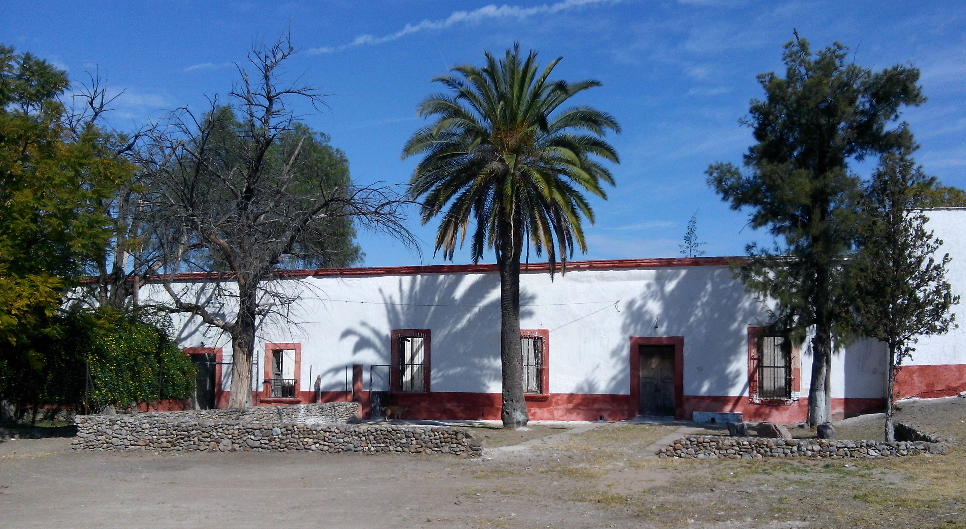
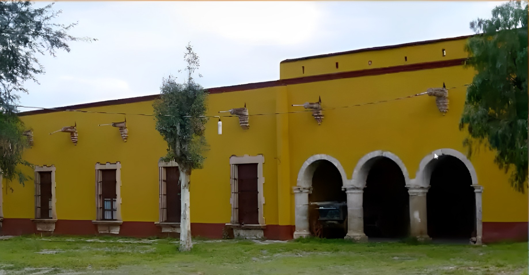
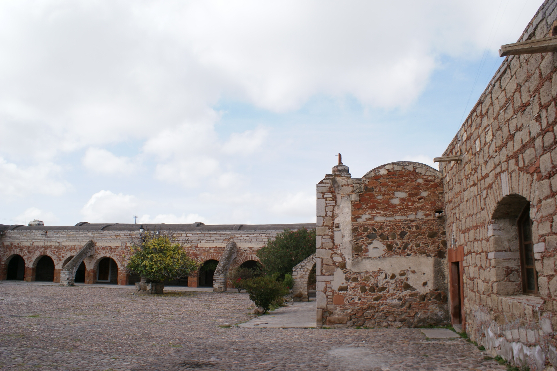
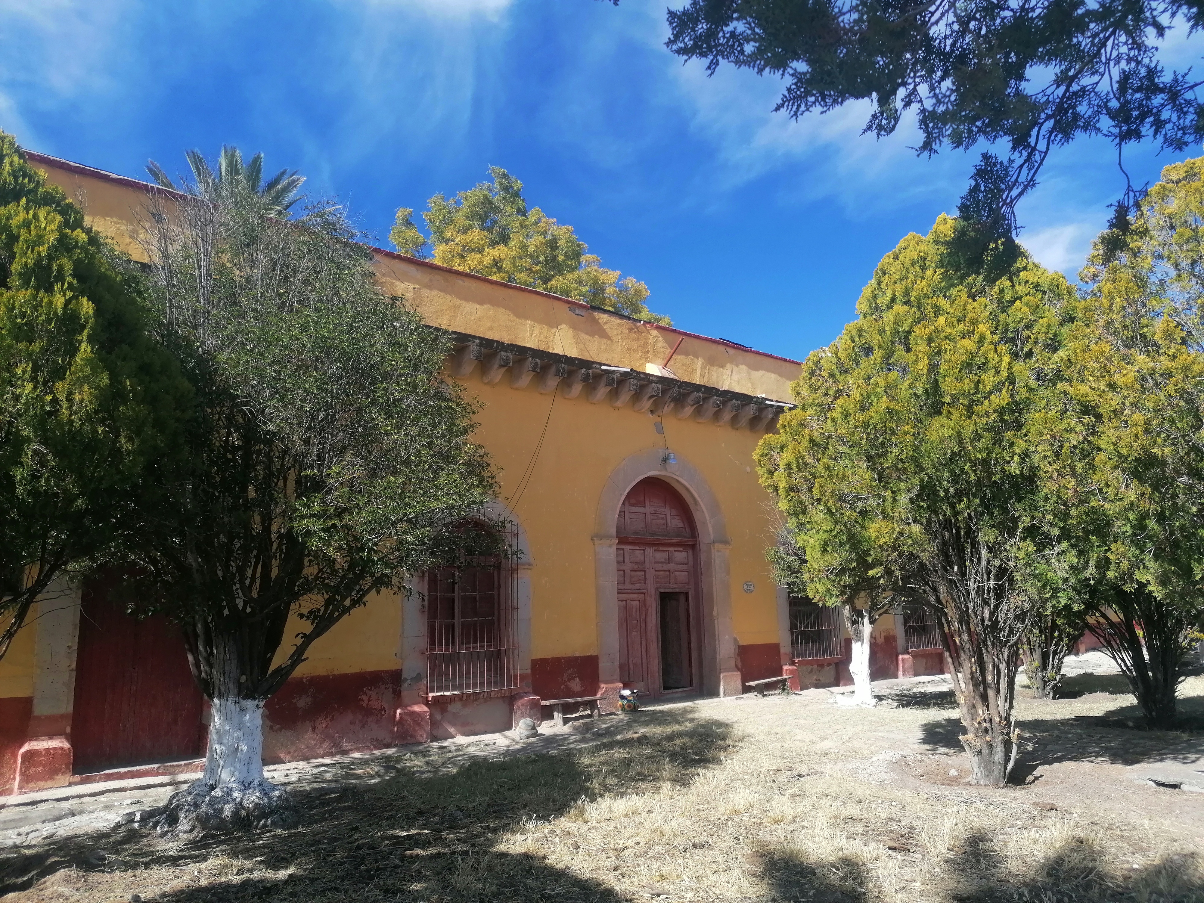
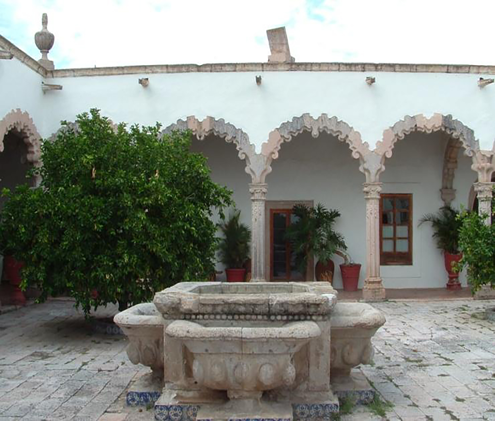
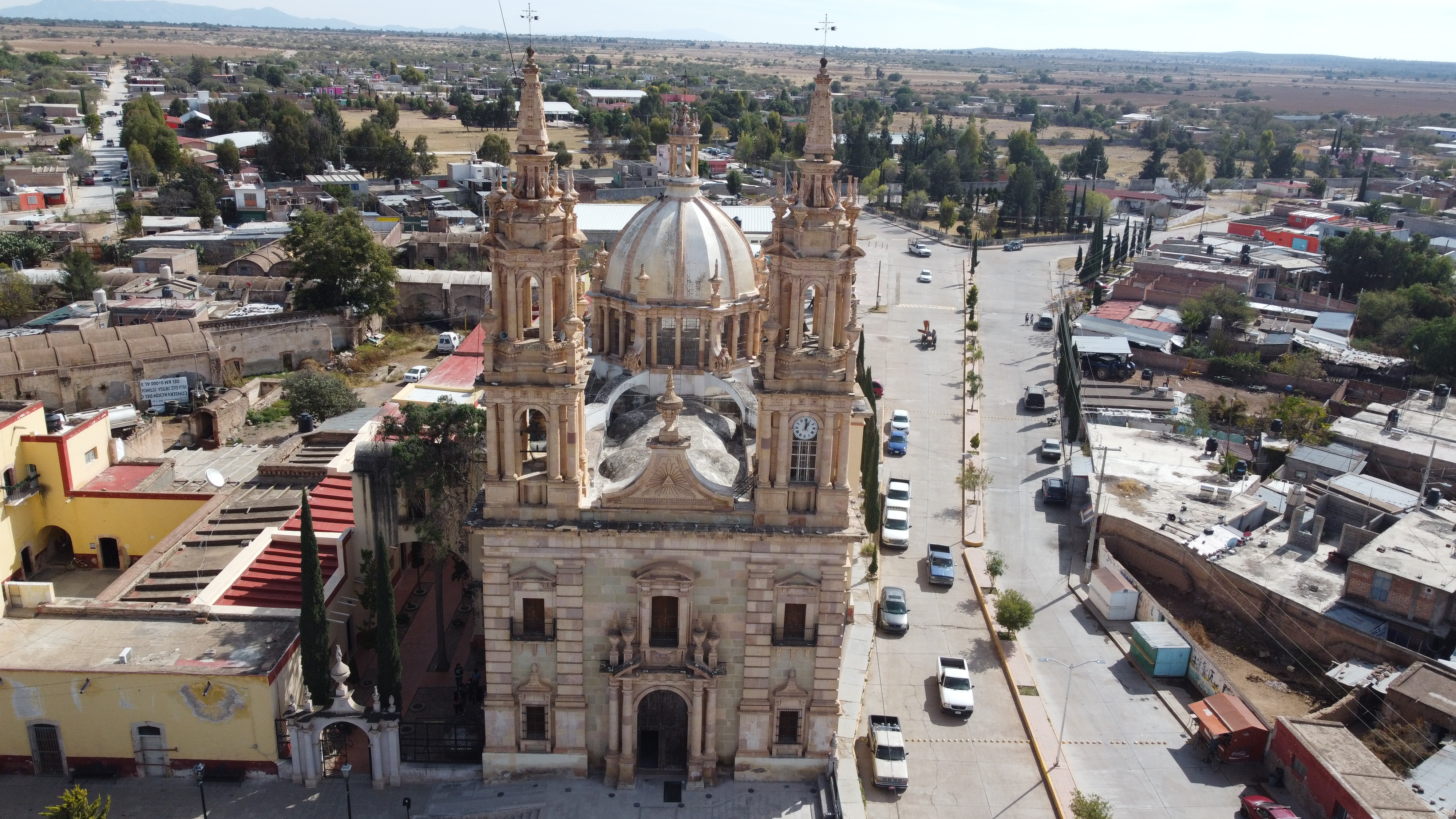
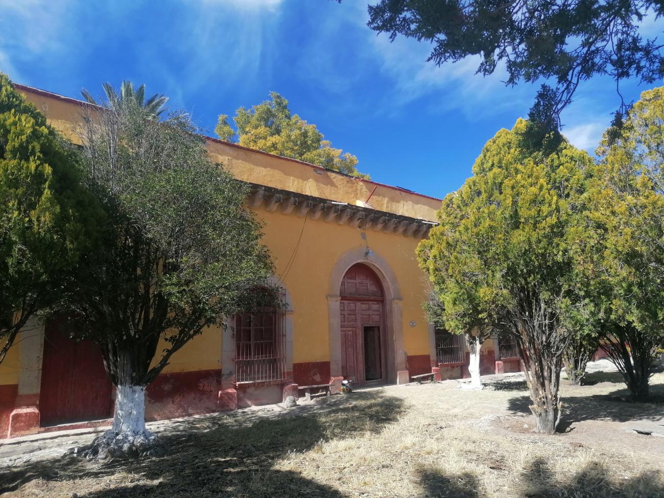
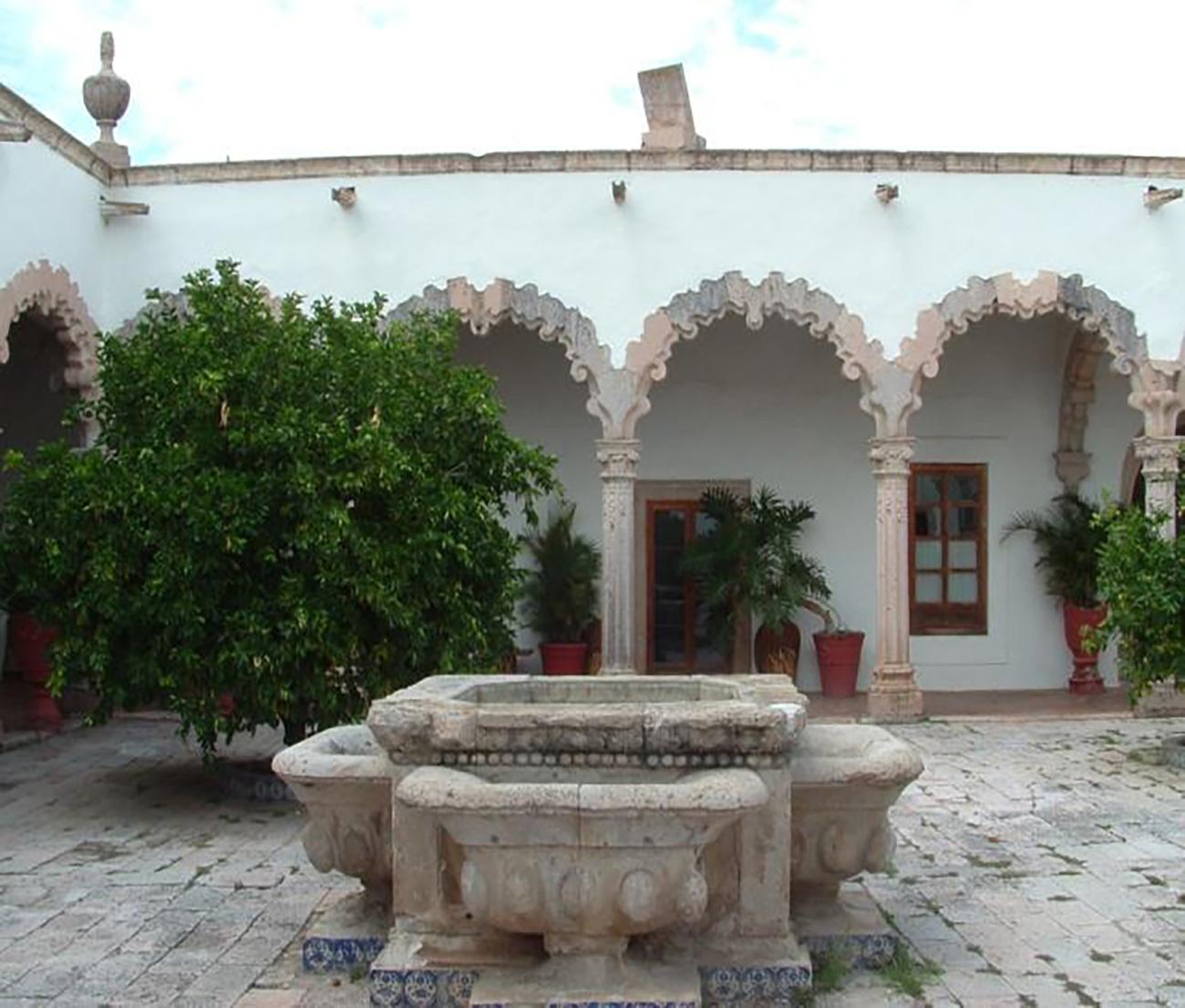
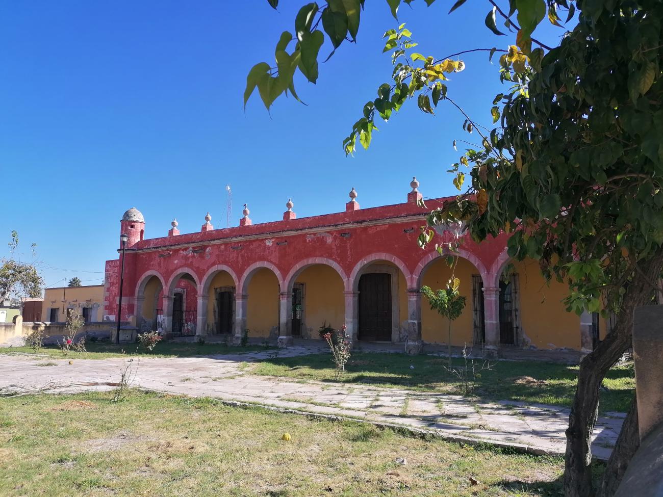
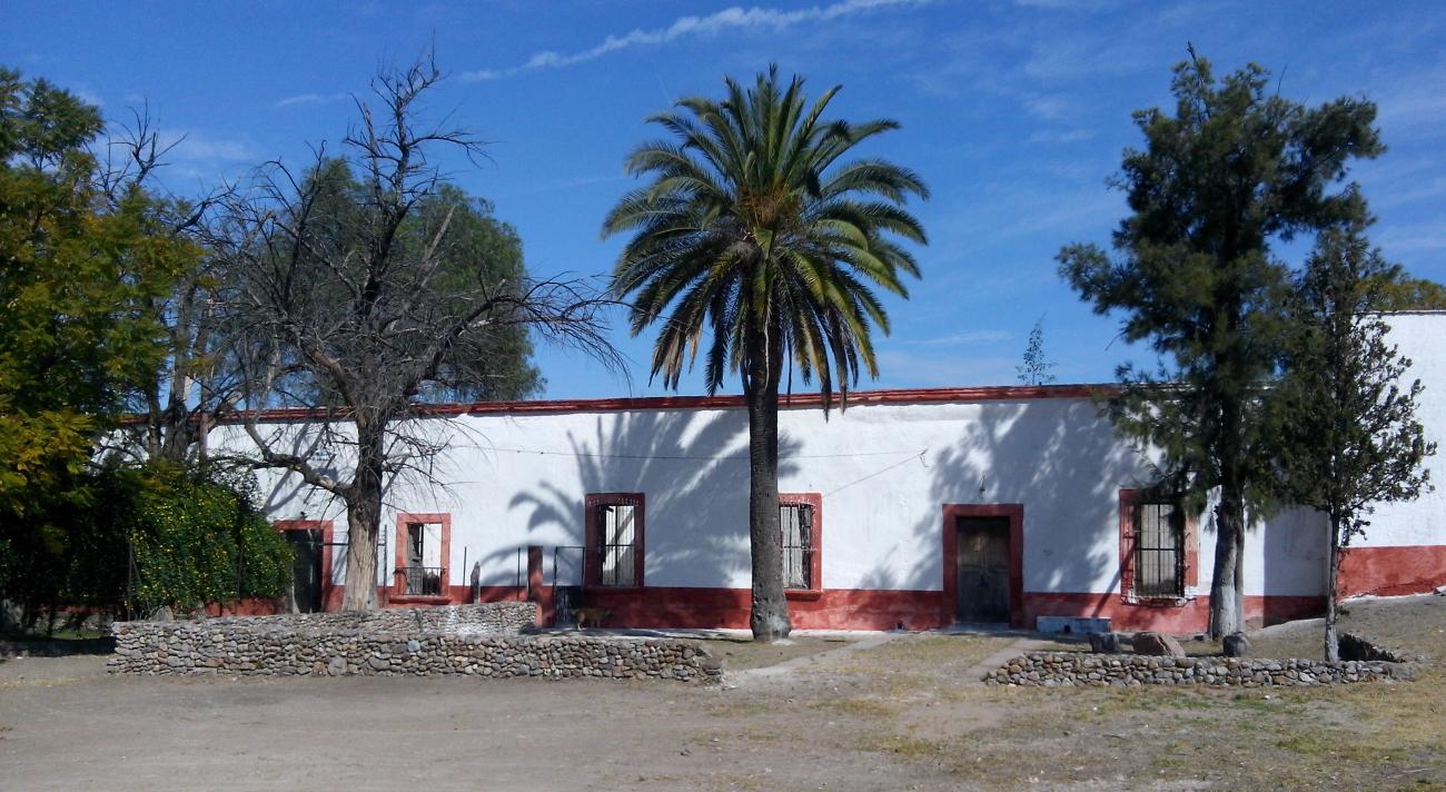
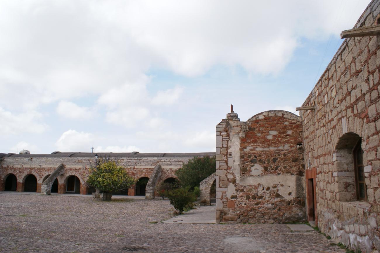
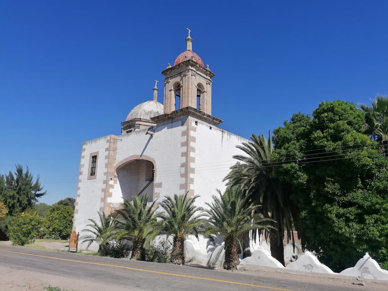
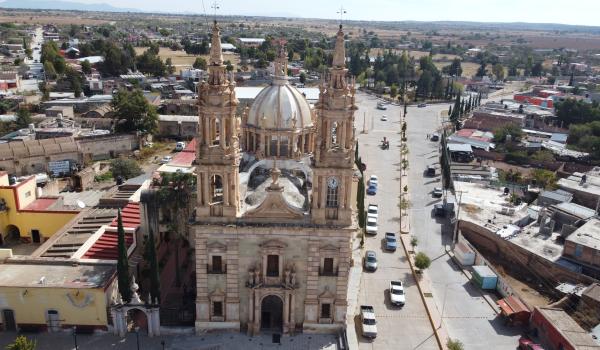
The Hacienda of Nuestra Señora de los Dolores de El Carro, formerly known as Hacienda de Espíndola de Ciénaga Grande, was part of the Ciénaga de Mata estate and was located within the jurisdictions of Aguascalientes, Charcas, and Sierra de Pinos.
Templo de Nuestra Señora de los Dolores en Villa González Ortega
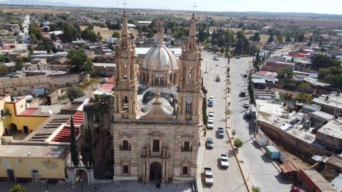
The Hacienda of Nuestra Señora de los Dolores de El Carro, formerly known as Hacienda de Espíndola de Ciénaga Grande, was part of the Ciénaga de Mata estate and was located within the jurisdictions of Aguascalientes, Charcas, and Sierra de Pinos.
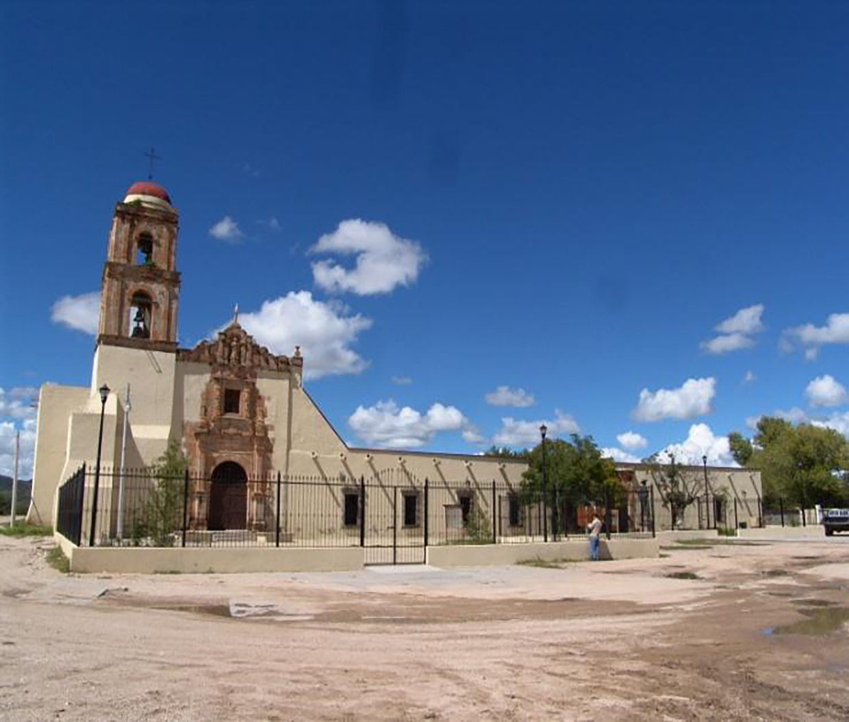
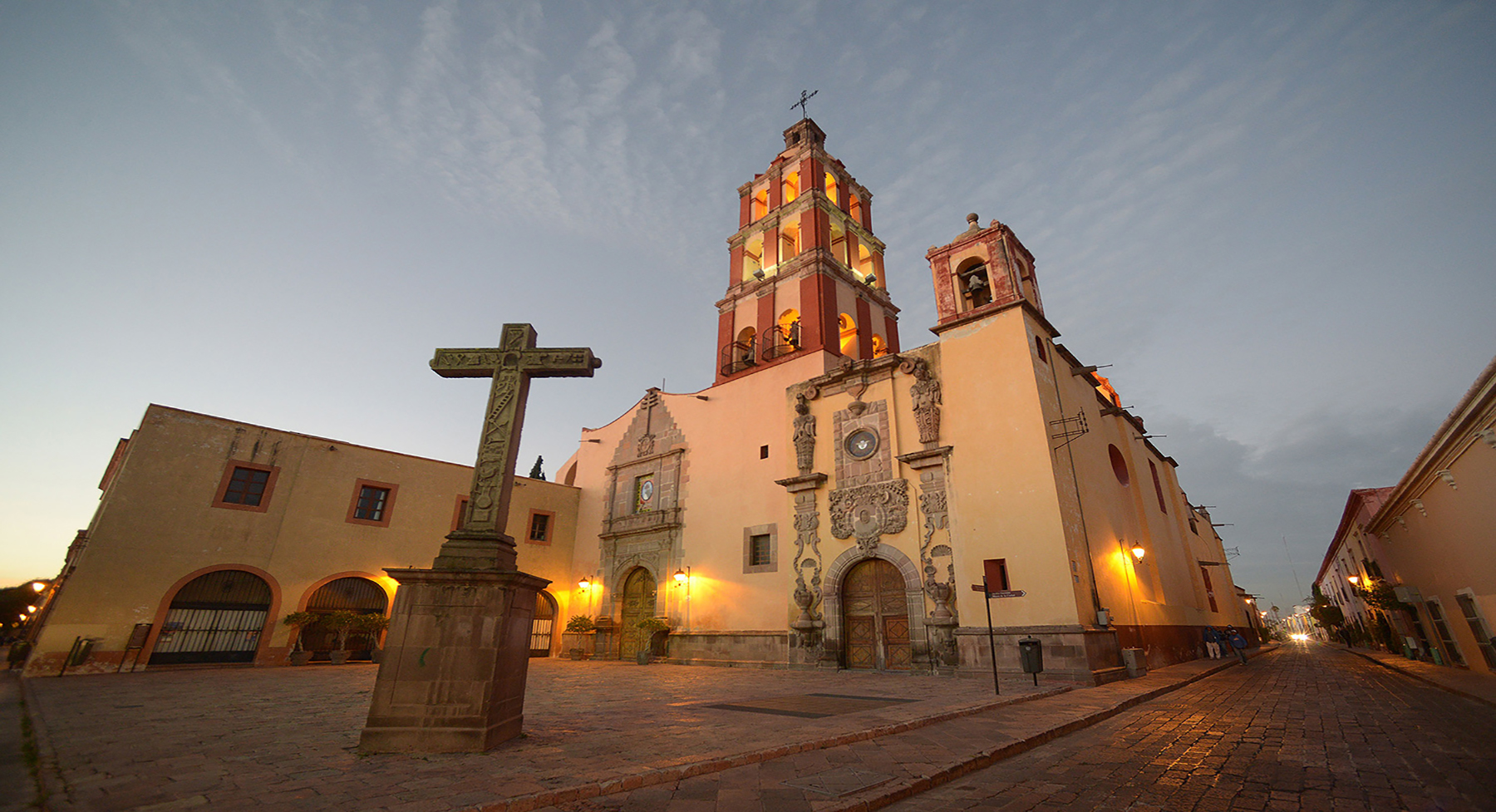
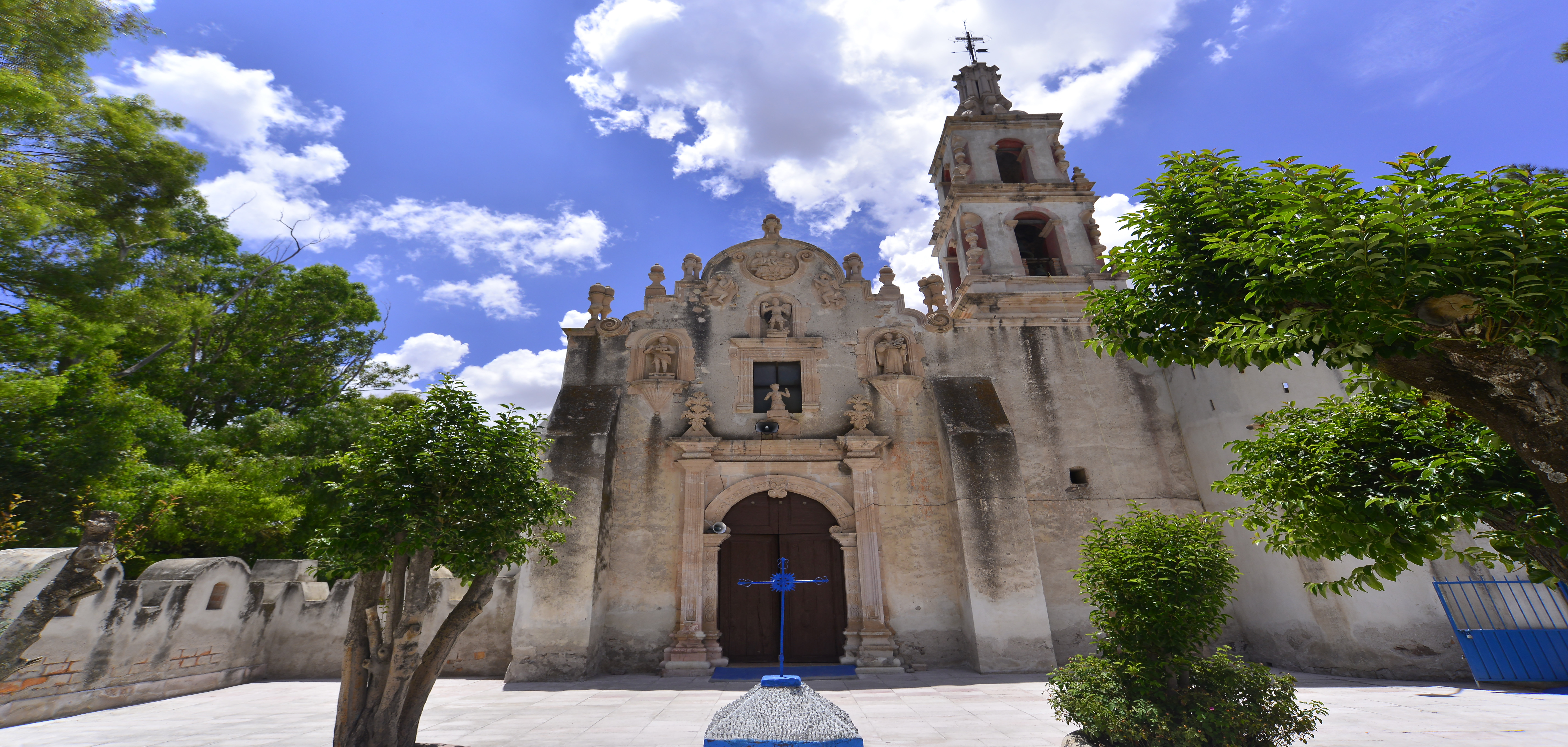
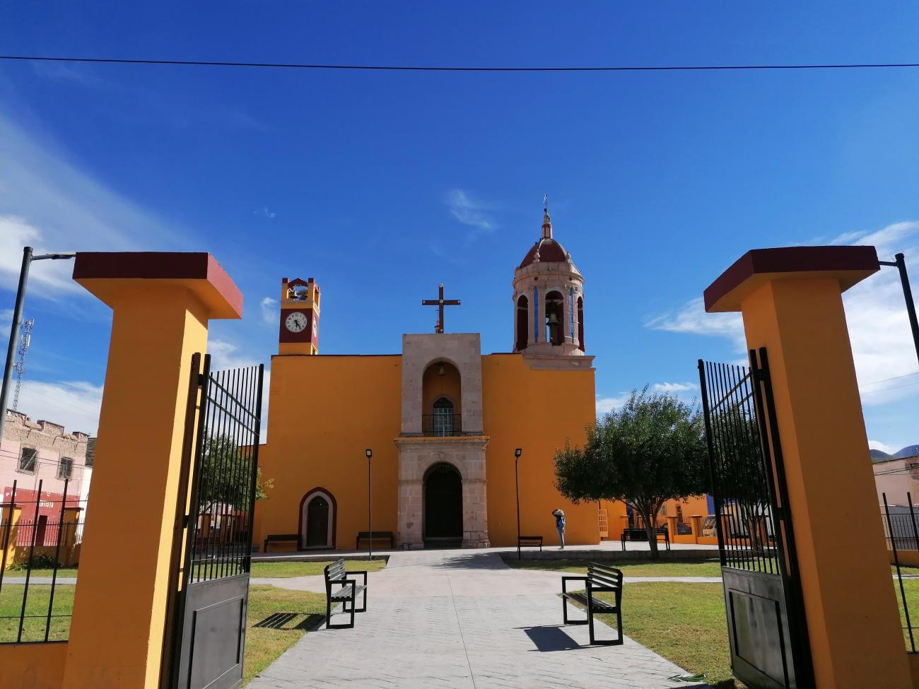
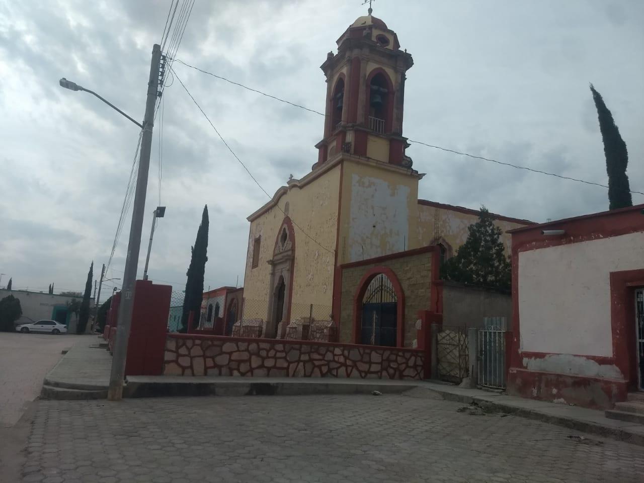
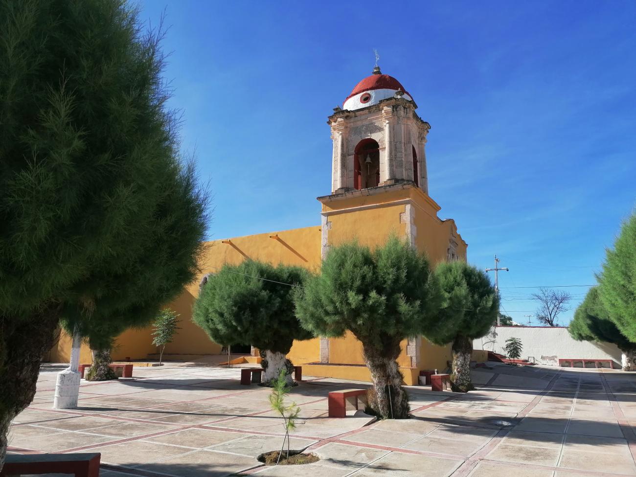
Templo de San Miguel en el pueblo de Villa Ocampo
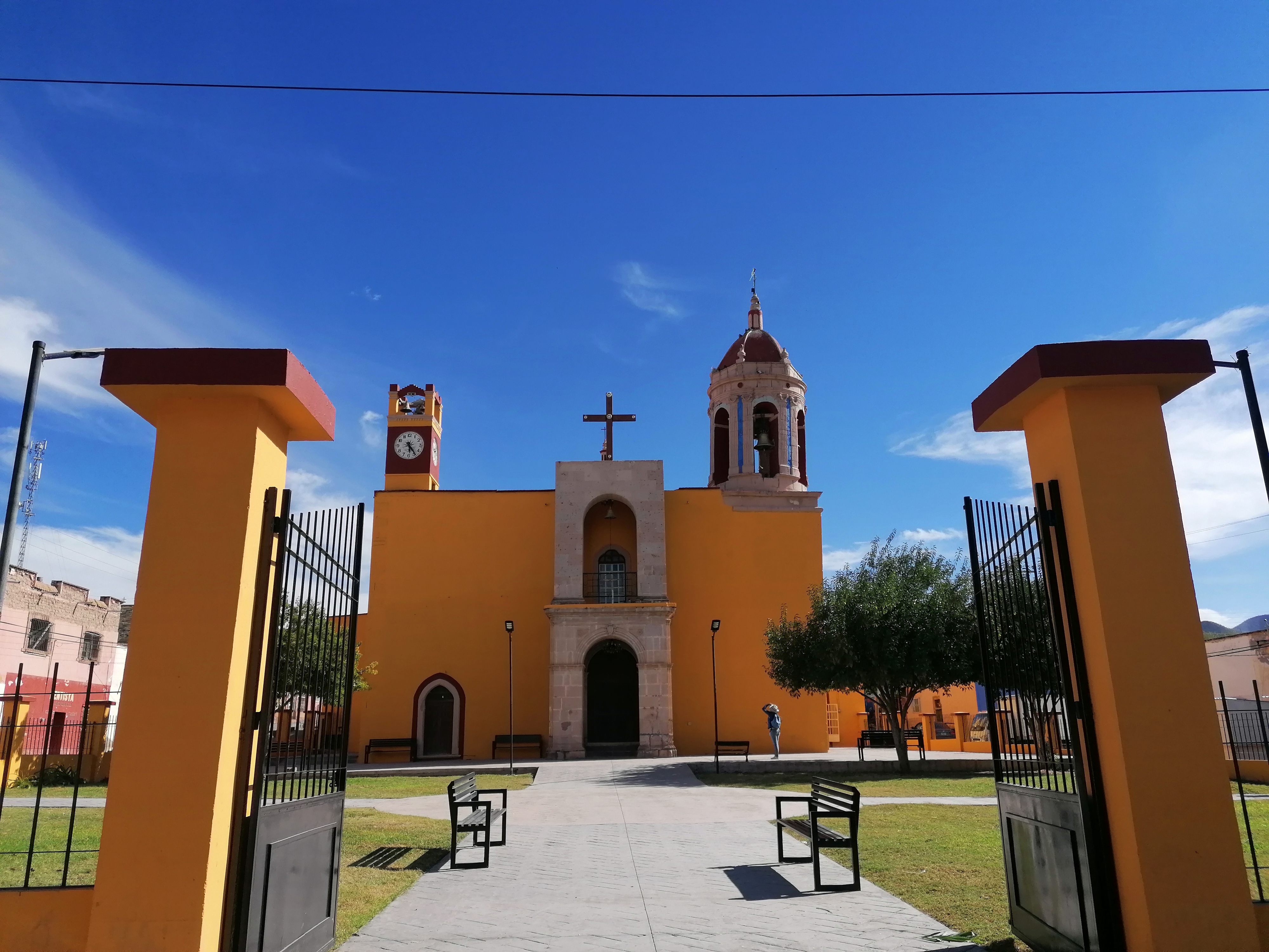
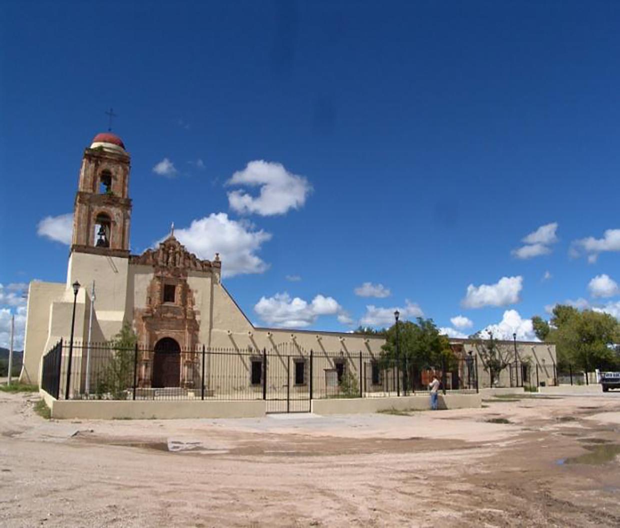
The town of Villa Ocampo, located beside the Bocas River, was an old Jesuit mission that was part of the Spanish Crown's evangelization efforts in the northern viceroyalty.
Templo de San Miguel en el pueblo de Villa Ocampo
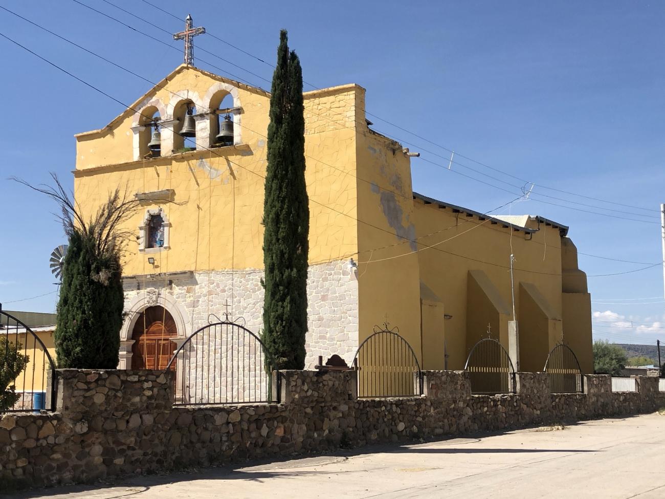
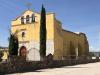
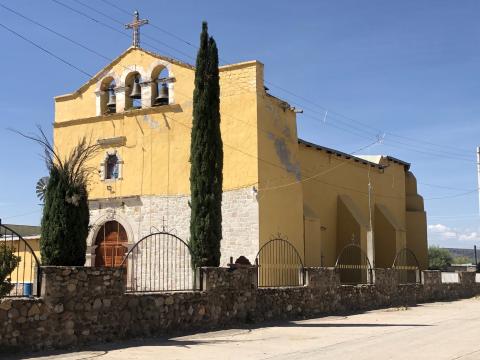
The town of Villa Ocampo, located beside the Bocas River, was an old Jesuit mission that was part of the Spanish Crown's evangelization efforts in the northern viceroyalty. Initially, its role was to provide a place for travelers along the Royal Inland Road to rest and seek shelter as they journeyed toward the northern settlements of Nueva Vizcaya.
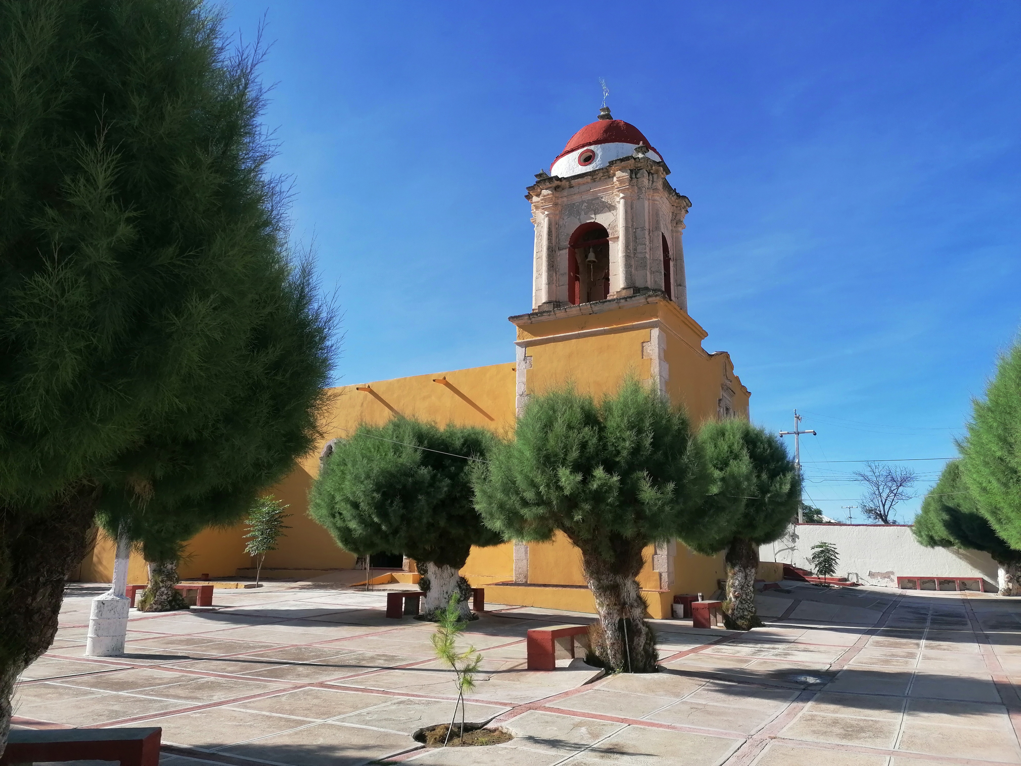
Templo de San Pantaleón Mártir en el pueblo de Noria de San Pantaleón
The establishment of the mining district Noria de San Pantaleón in 1556 was the result of the work being carried out in the San Martín mines, located in the present-day state of Zacatecas.
Templo de San Pantaleón Mártir en el pueblo de Noria de San Pantaleón
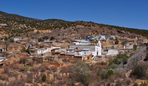
The establishment of the mining district Noria de San Pantaleón in 1556 was the result of the work being carried out in the San Martín mines, located in the present-day state of Zacatecas. These mines were important producers of lead, which was required in the region's mines as it was necessary for smelting metals.
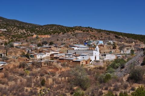
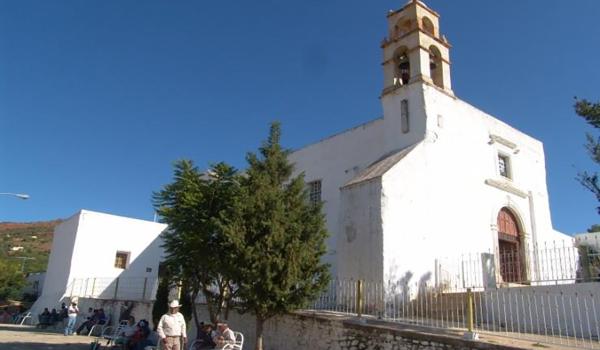
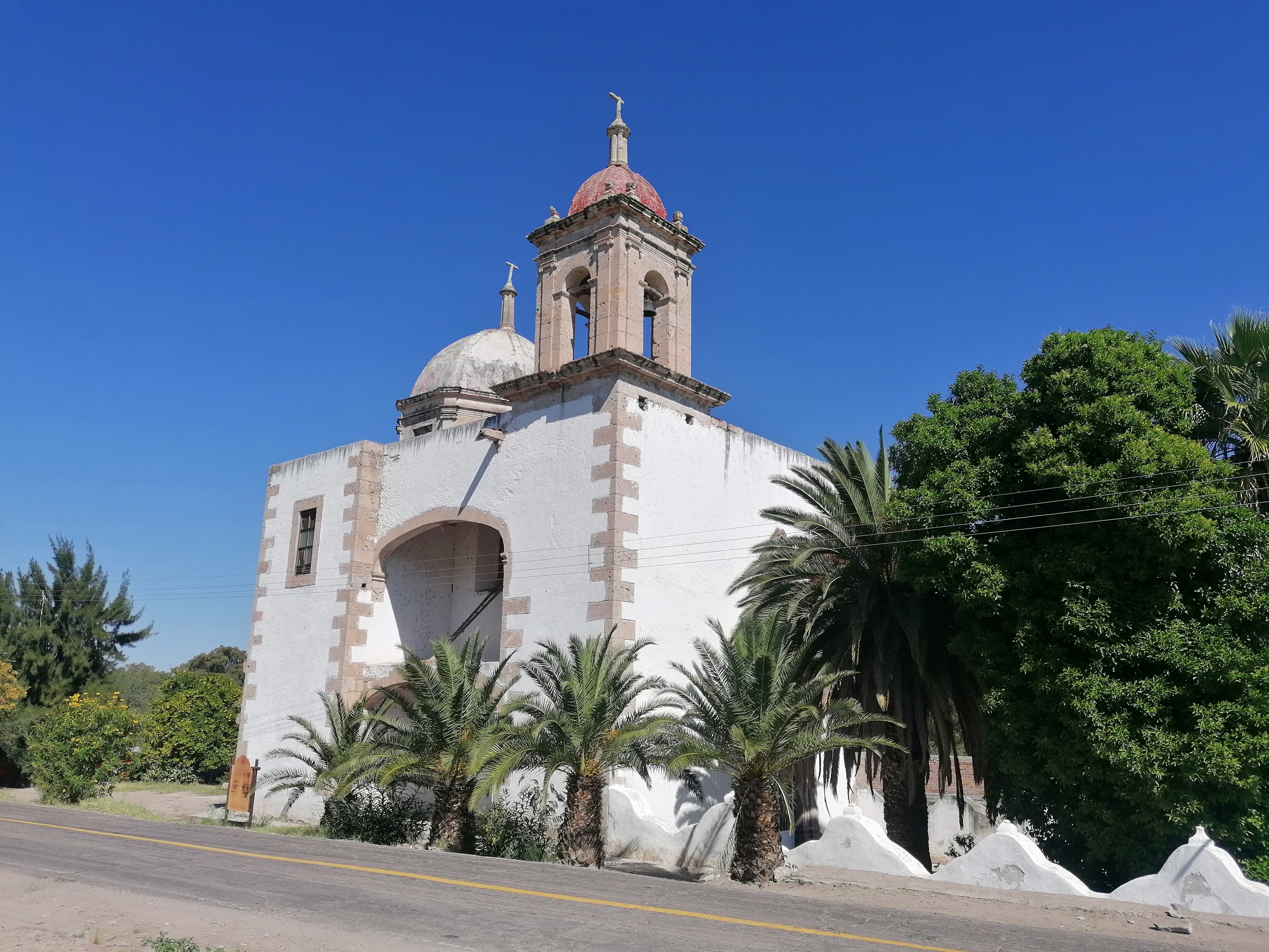
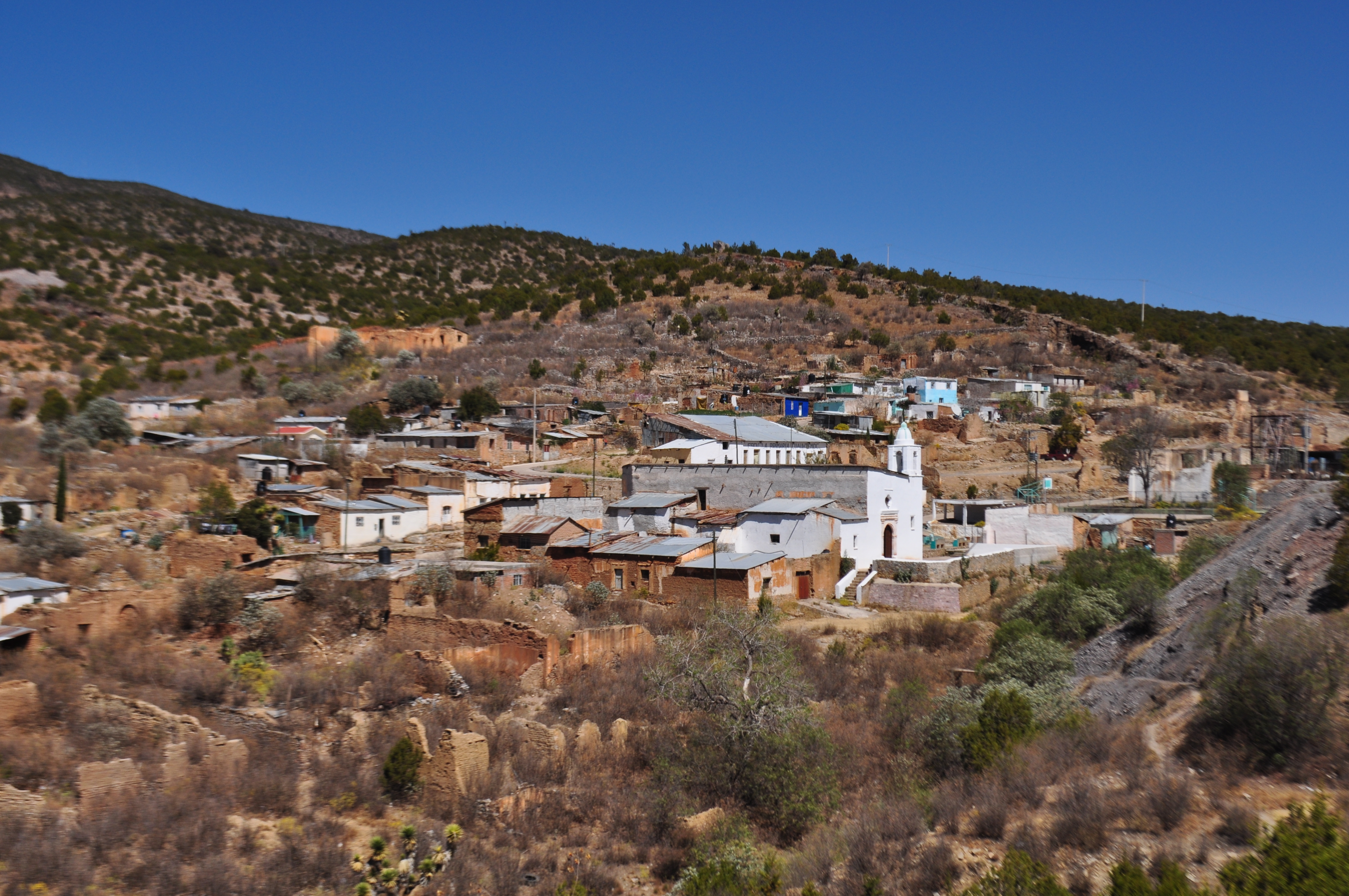
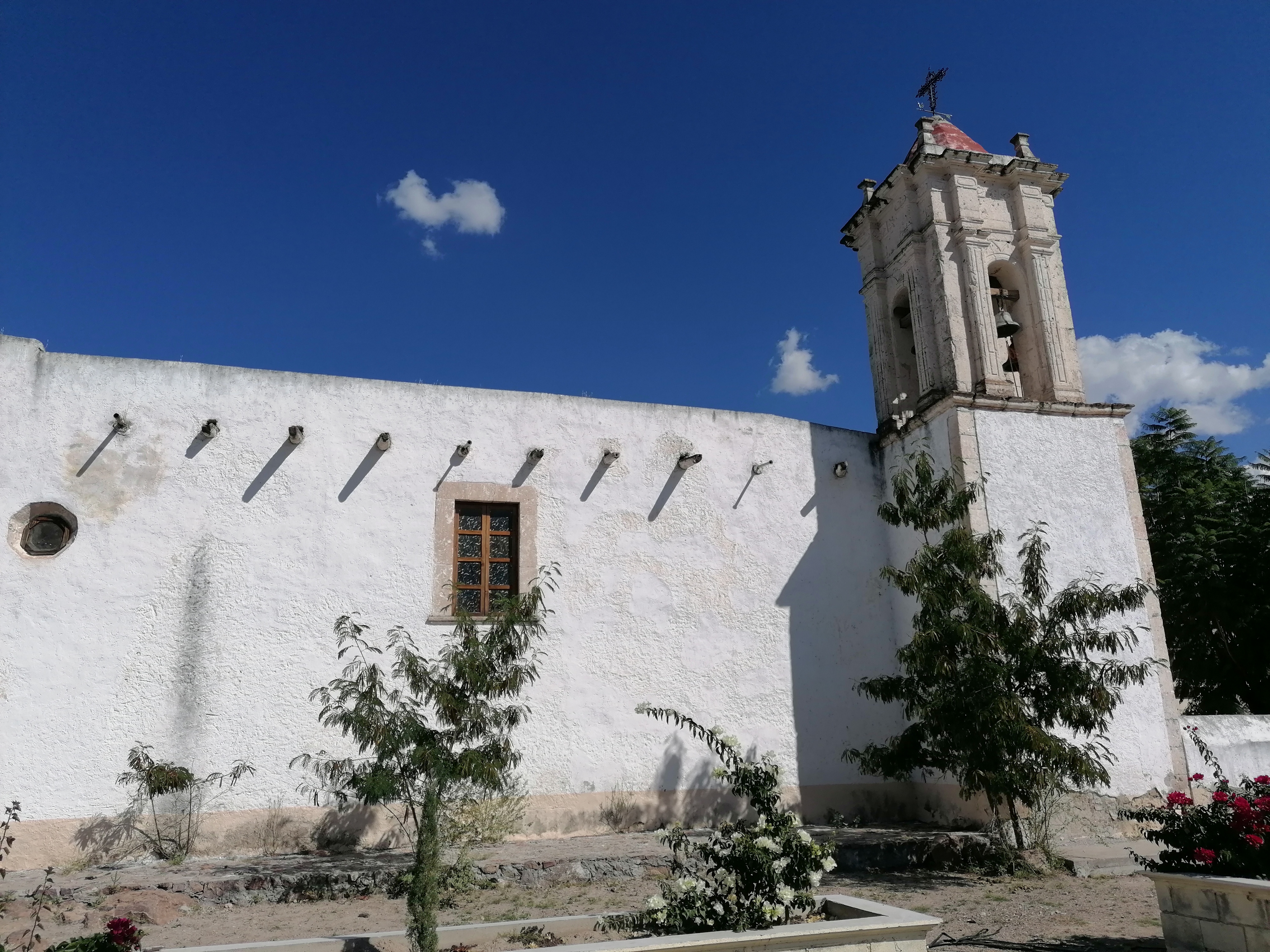
Templo del pueblo de San José de Avino
One of the first mining towns established north of Zacatecas was the town of San José de Avino, discovered by Captain Francisco de Ibarra in 1554. However, its exploitation began several years later, around 1630.
Templo del pueblo de San José de Avino
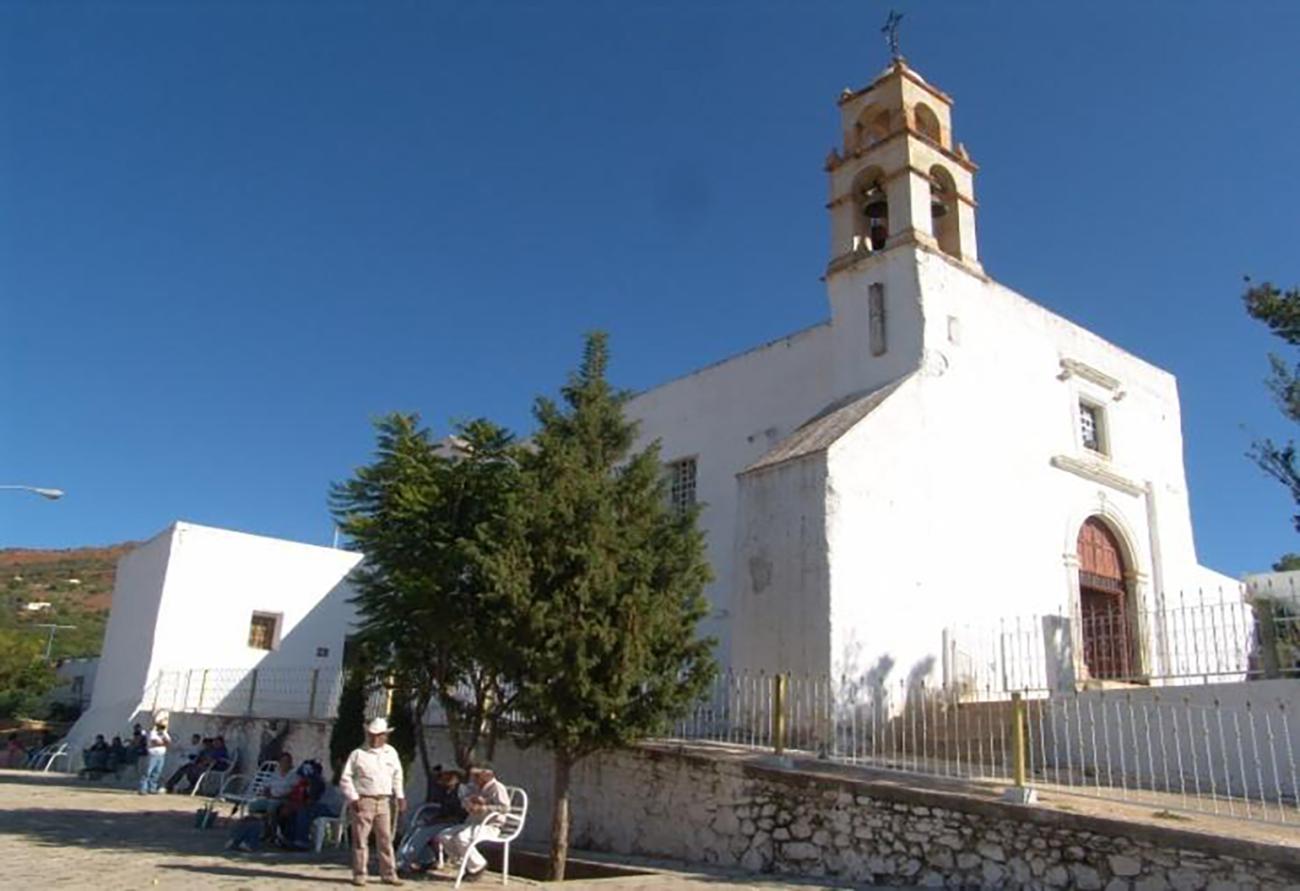
One of the first mining towns established north of Zacatecas was the town of San José de Avino, discovered by Captain Francisco de Ibarra in 1554. However, its exploitation began several years later, around 1630. Despite this, it was abandoned for long periods and was re-exploited around 1730 by the Basque José de Echaez. It was during this time that the name "Real de San José del Avinito" was formally adopted.
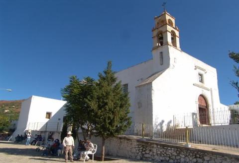
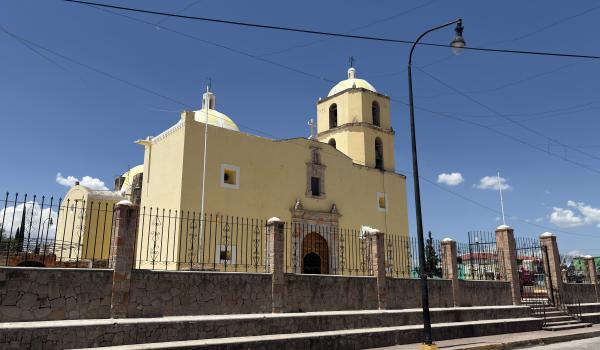
Templos en el pueblo de Cuencamé y Cristo de Mapimí
Jesuit missionaries were the founders of the mining towns of San Antonio de Cuencamé and Mapimí.
Templos en el pueblo de Cuencamé y Cristo de Mapimí
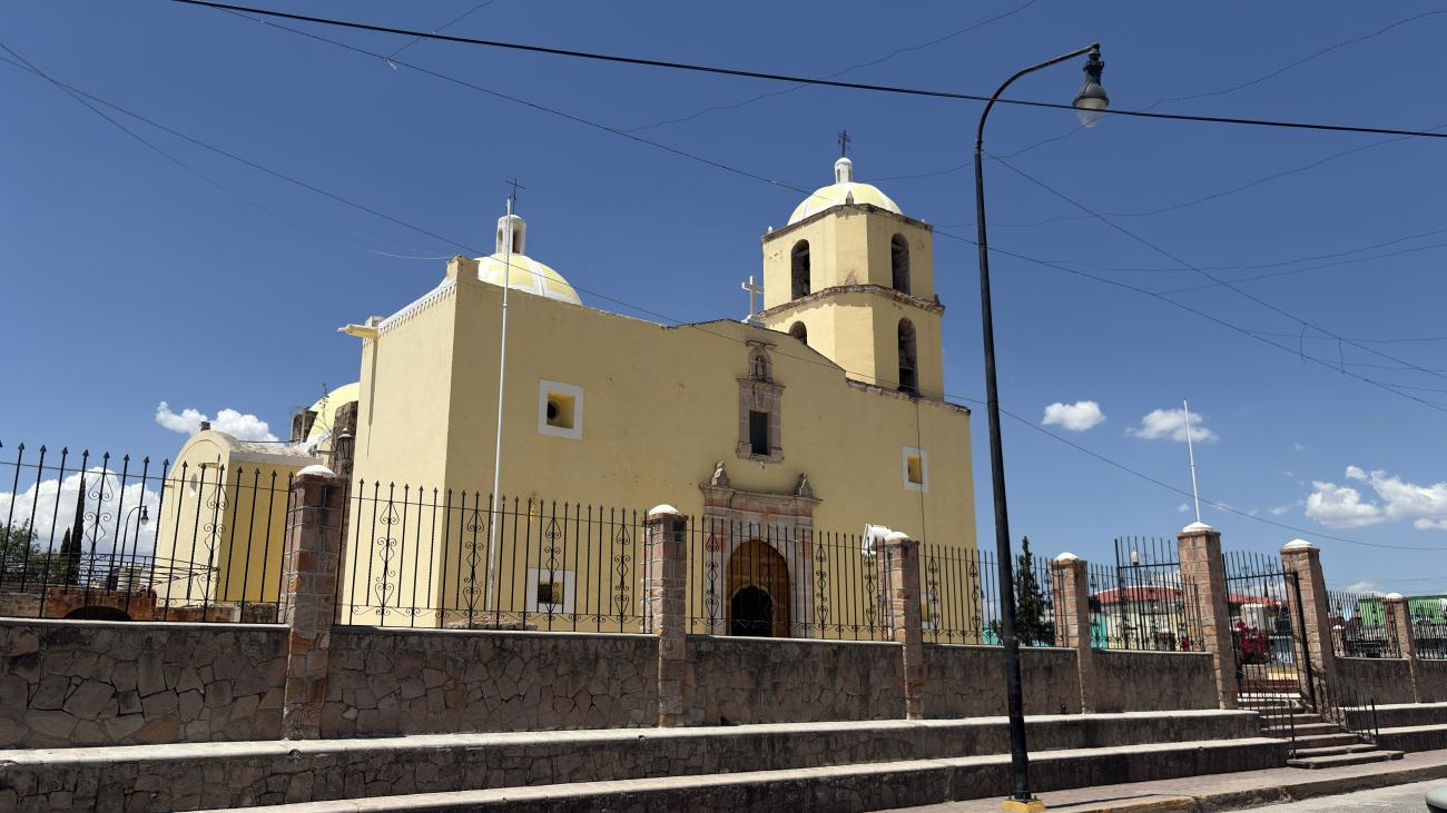
Jesuit missionaries were the founders of the mining towns of San Antonio de Cuencamé and Mapimí. This religious order was also responsible for spreading the veneration of the Señor de Mapimí in these areas, which became one of the most important religious traditions in Nueva Vizcaya since the 18th century.
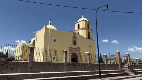
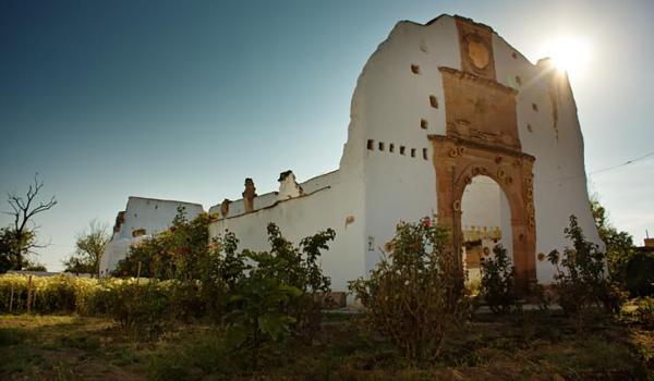
Templos en el pueblo de Nombre de Dios
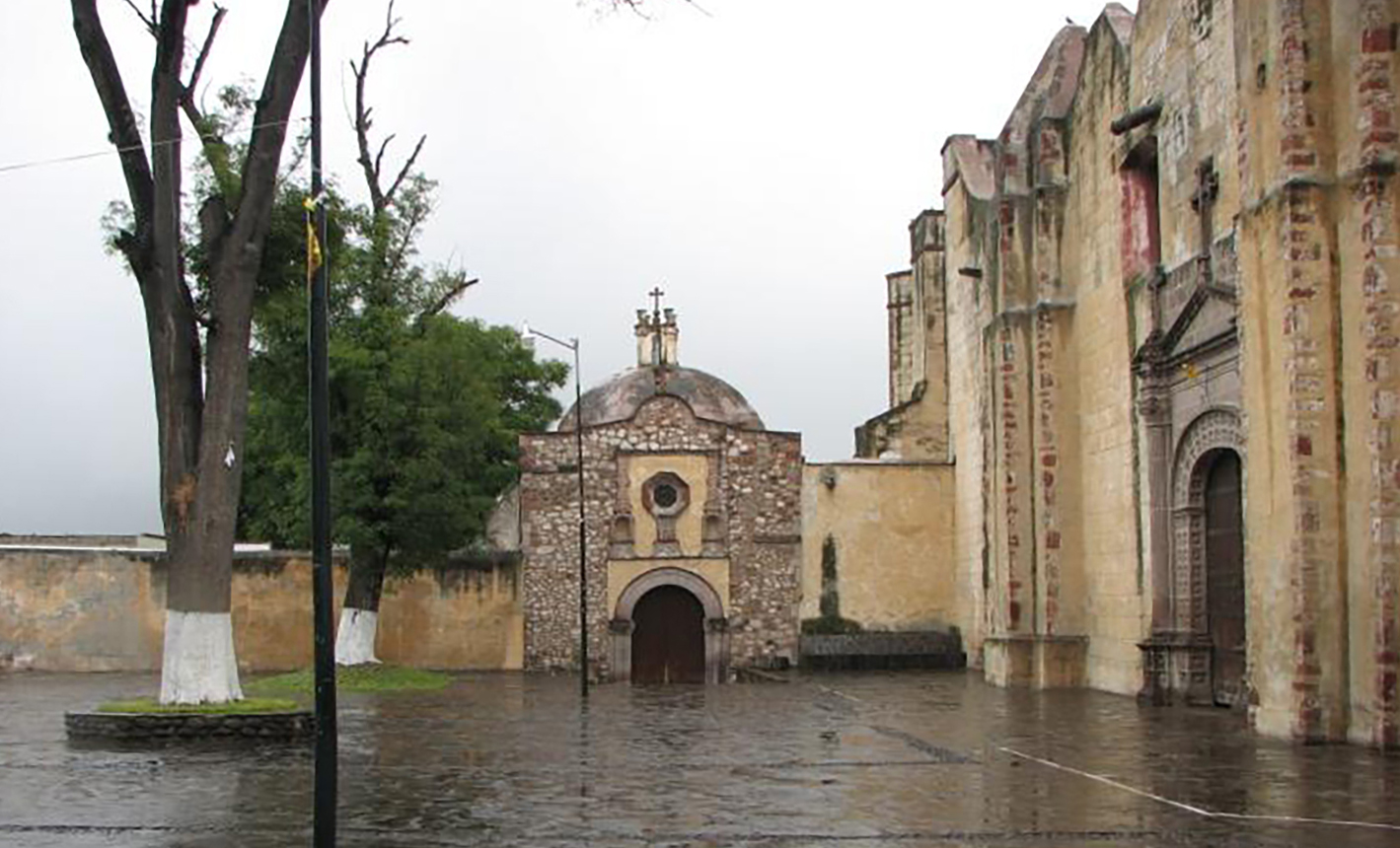
The town of Nombre de Dios is considered the oldest settlement in Durango and is a significant point along the Royal Inland Road due to its contribution to the colonization process of northern Mexico.
Templos en el pueblo de Nombre de Dios
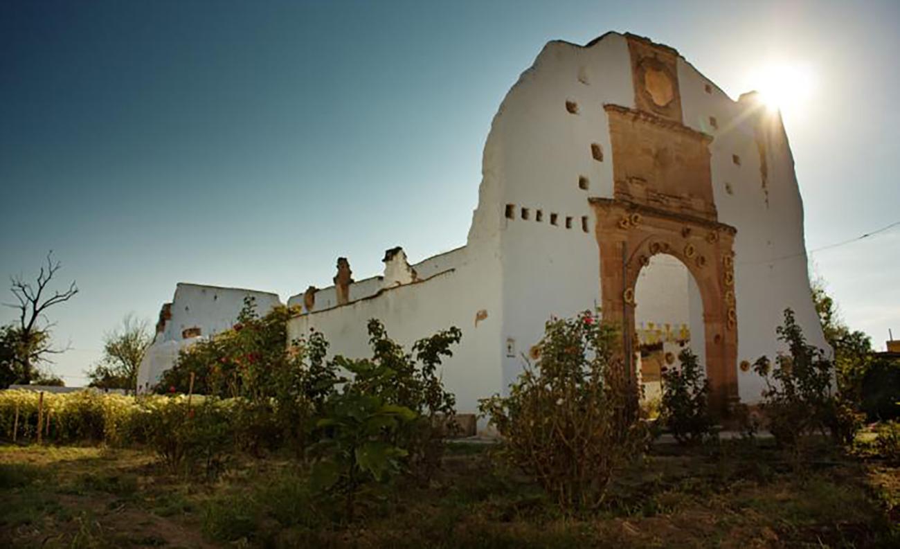
The town of Nombre de Dios is considered the oldest settlement in Durango and is a significant point along the Royal Inland Road due to its contribution to the colonization process of northern Mexico.

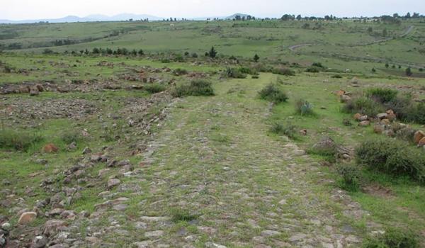
Tramo del Camino Real entre Aculco y San Juan del Río
During the early stages of the northward expansion into what would become New Spain, specifically between the 1520s and 1540s, the town of Aculco and its surroundings were a significant transit area for colonizers and missionaries.
Tramo del Camino Real entre Aculco y San Juan del Río
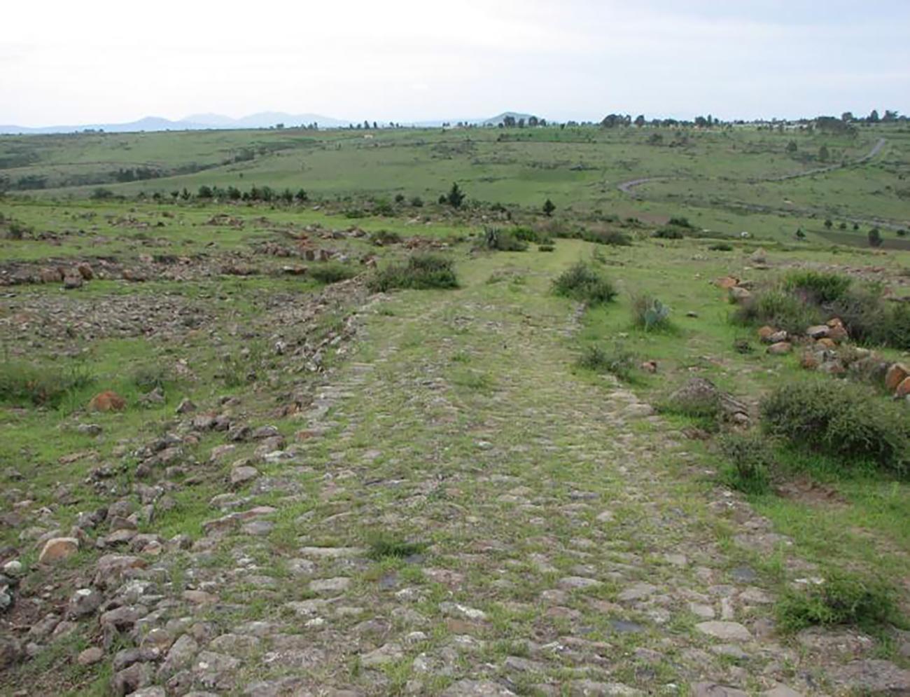
During the early stages of the northward expansion into what would become New Spain, specifically between the 1520s and 1540s, the town of Aculco and its surroundings were a significant transit area for colonizers and missionaries. For this reason, this part of the Royal Inland Road was referred to as the "Gate of Tierra Adentro," through which the regular movement of merchants, officials, ranchers, and livestock took place.
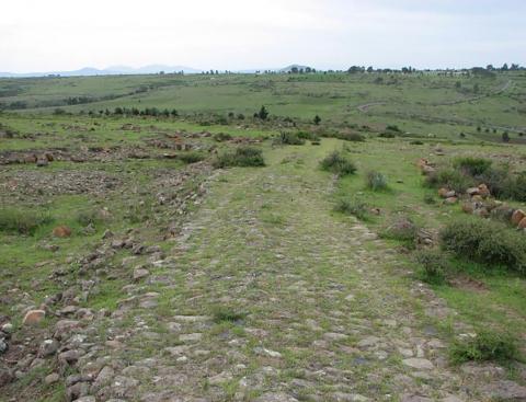
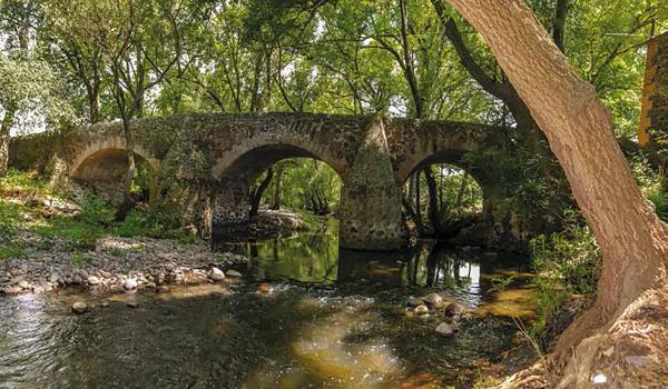
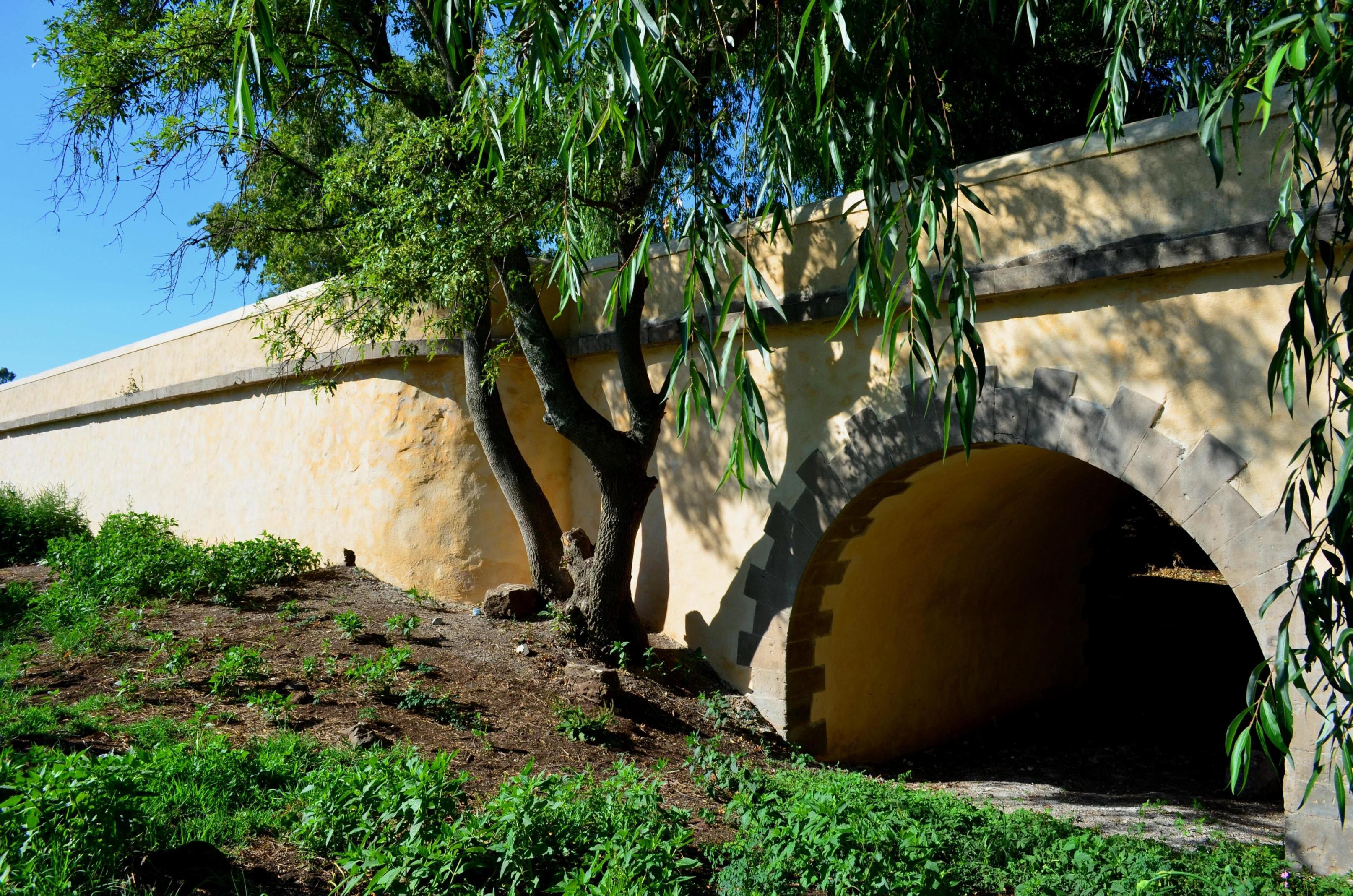
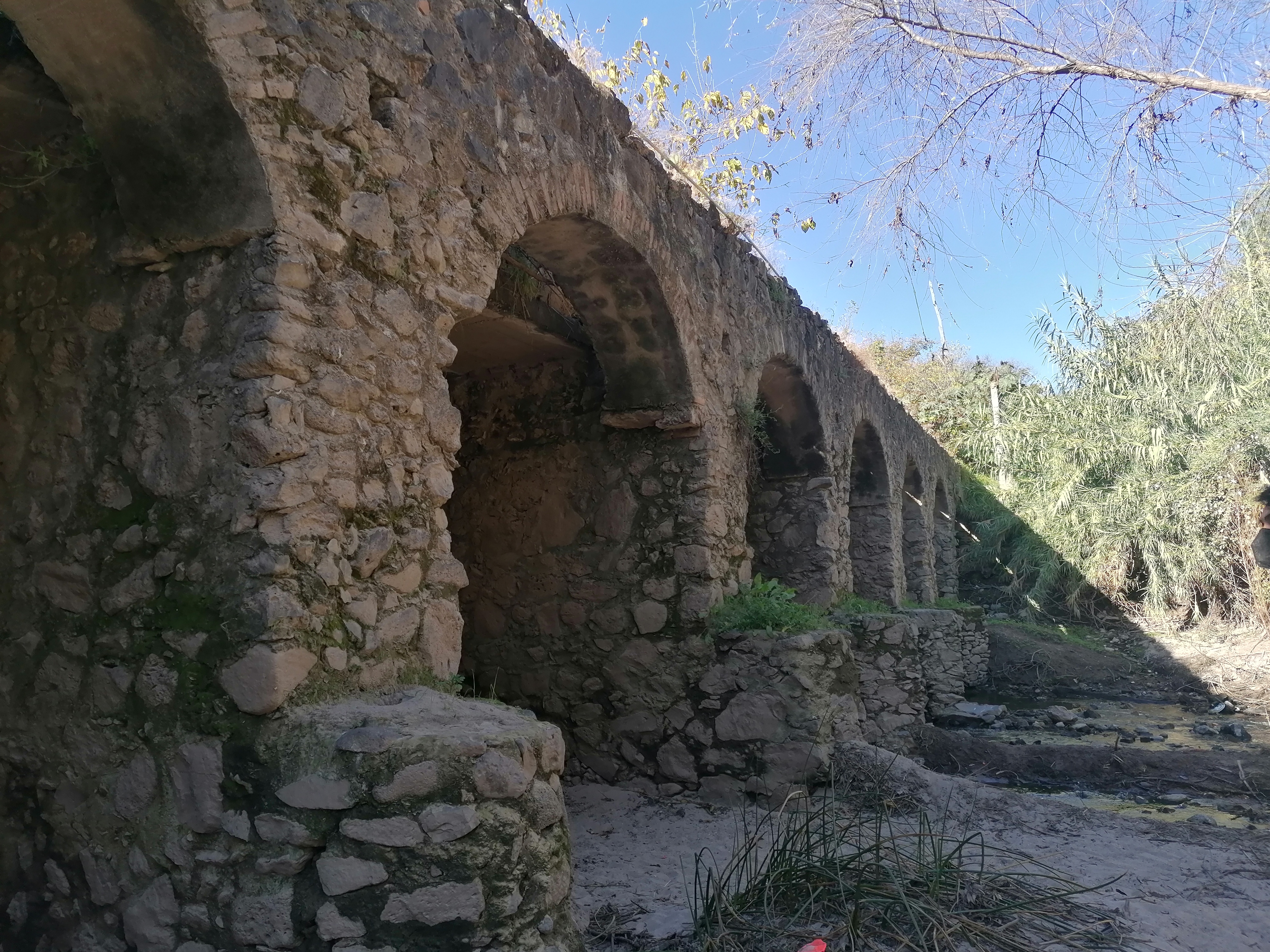
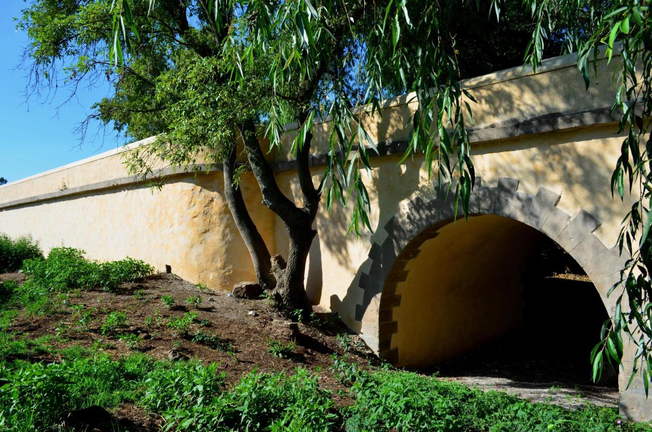
Tramo del Camino Real entre el puente de La Colmena y la antigua Hacienda de La Cañada
The stretch between the Puente de La Colmena and the Ex Hacienda de la Cañada connected the towns of Tepeji del Río and Jilotepec and still retains both the original route layout and the cobblestone pavement made of round stones.
Tramo del Camino Real entre el puente de La Colmena y la antigua Hacienda de La Cañada
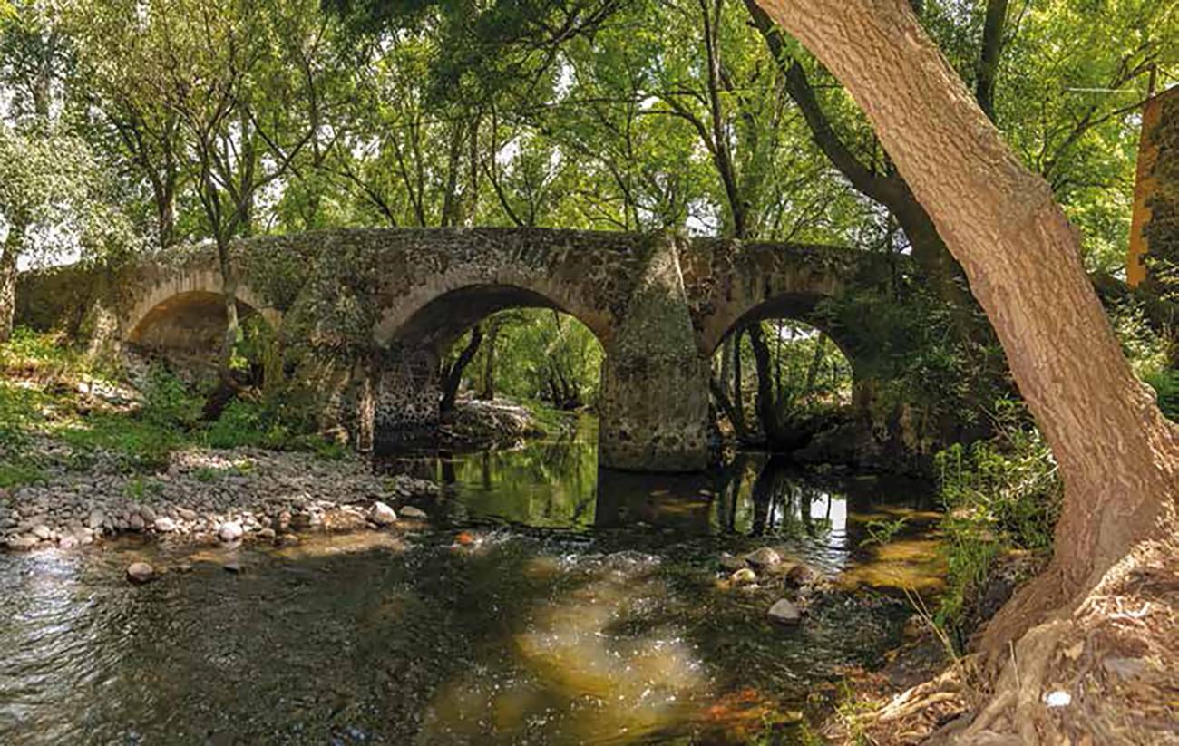
The stretch between the Puente de La Colmena and the Ex Hacienda de la Cañada connected the towns of Tepeji del Río and Jilotepec and still retains both the original route layout and the cobblestone pavement made of round stones. This 3.5 km long route is flanked by small stone walls and large pirules (a type of tree).
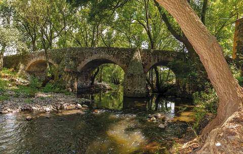
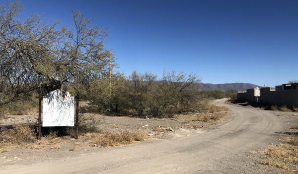
Tramo del Camino Real entre Nazas y San Pedro del Gallo
The stretch of the Royal Inland Road between Nazas and San Pedro del Gallo is located in an area that was part of the presidio line, on the borders of the Bolsón de Mapimí.
Tramo del Camino Real entre Nazas y San Pedro del Gallo
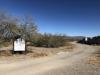
The stretch of the Royal Inland Road between Nazas and San Pedro del Gallo is located in an area that was part of the presidio line, on the borders of the Bolsón de Mapimí. It spans approximately fifty kilometers, connecting the Hacienda de San Antonio, the former Jesuit mission of Cinco Señores (now Nazas), and the presidio of San Pedro del Gallo. These points were part of the route between Cuencamé and Parral and represented a day's journey on foot for travelers.
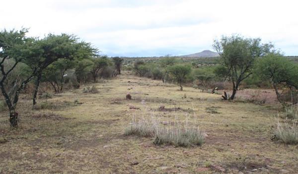
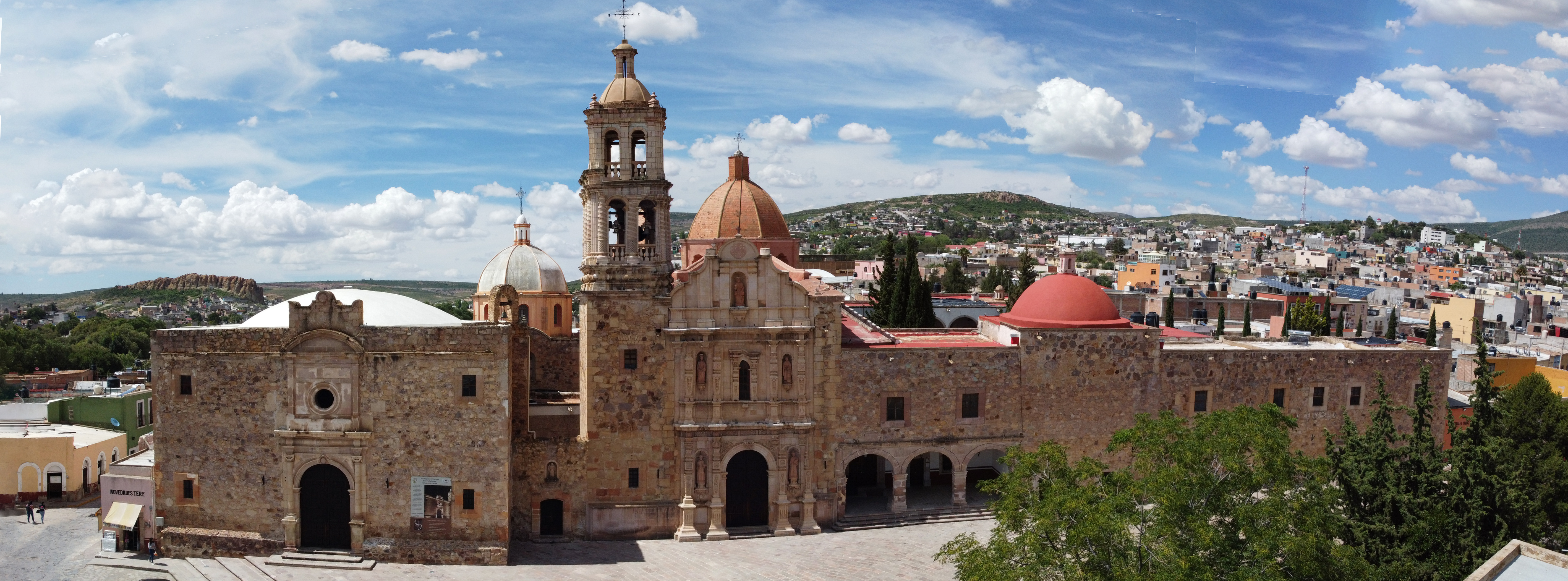
Tramo del Camino Real entre Ojocaliente y Zacatecas
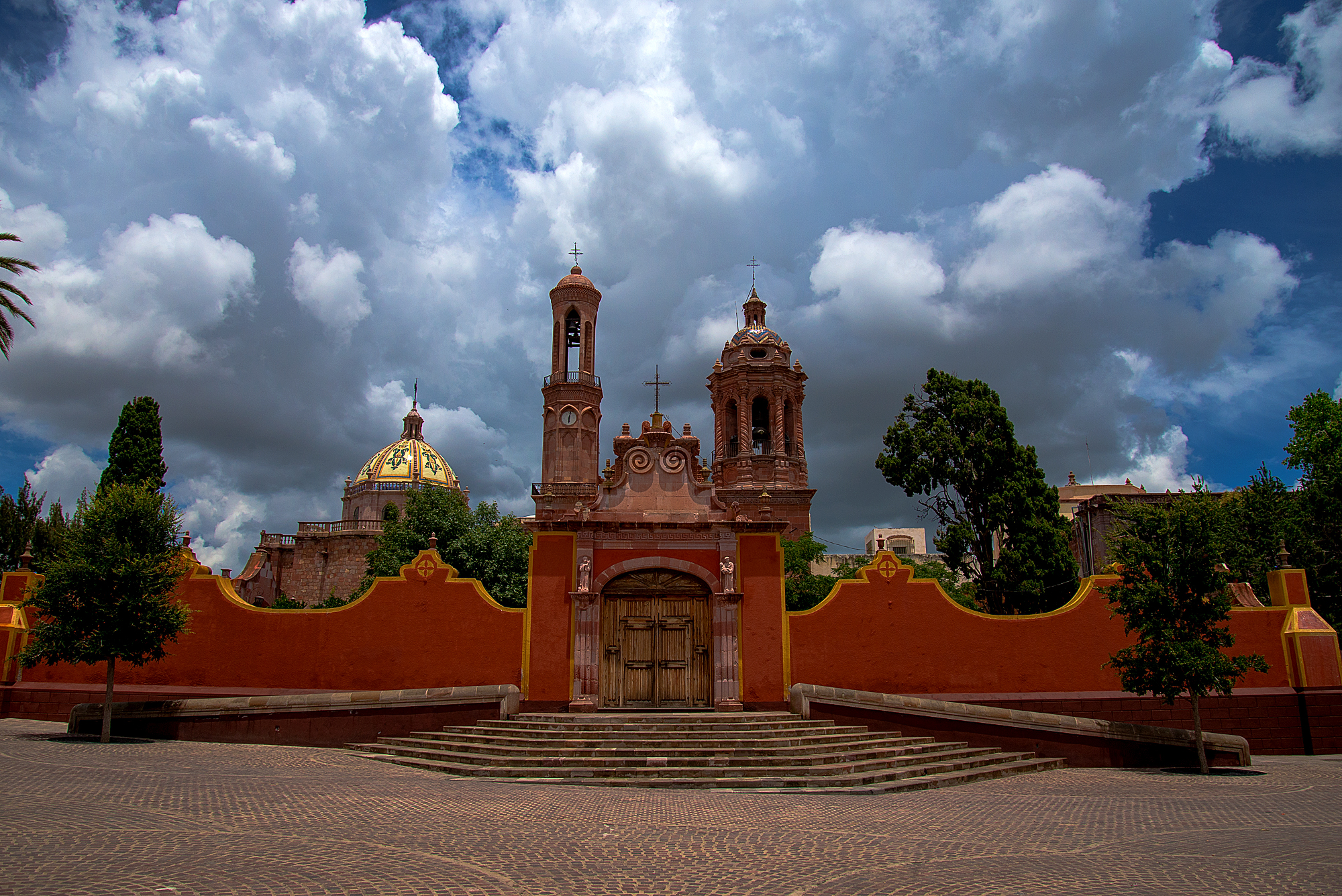
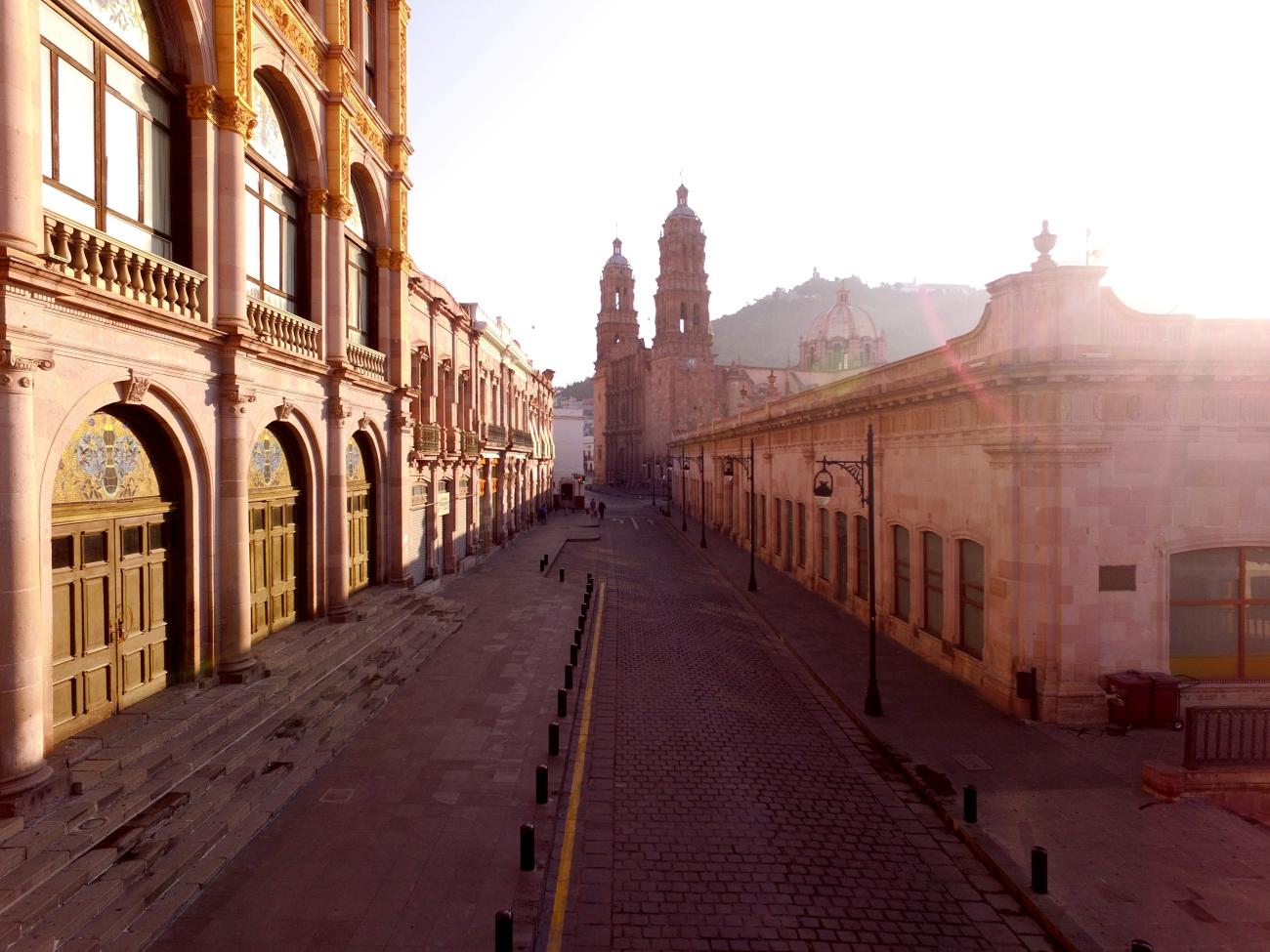
The need to transport silver extracted from the mines of Zacatecas to the central part of the country, particularly to Mexico City, for smelting and minting influenced the emergence of the stretch of the Royal Inland Road between the city of Zacatecas and the town of Ojocaliente.<
Tramo del Camino Real entre Ojocaliente y Zacatecas
The need to transport silver extracted from the mines of Zacatecas to the central part of the country, particularly to Mexico City, for smelting and minting influenced the emergence of the stretch of the Royal Inland Road between the city of Zacatecas and the town of Ojocaliente.
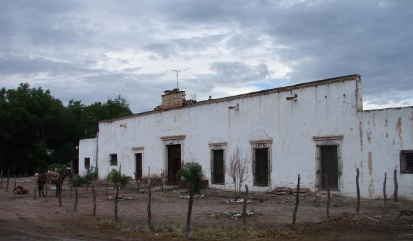
Valle de Allende
An important agricultural center and historical city where in 1811, in the San Francisco Monastery, the heads of the fathers of Mexican Independence were put on display, to the horror of the local population: Miguel Hidalgo, Ignacio Allende, Juan Aldama and Mariano Jiménez.
Valle de Allende
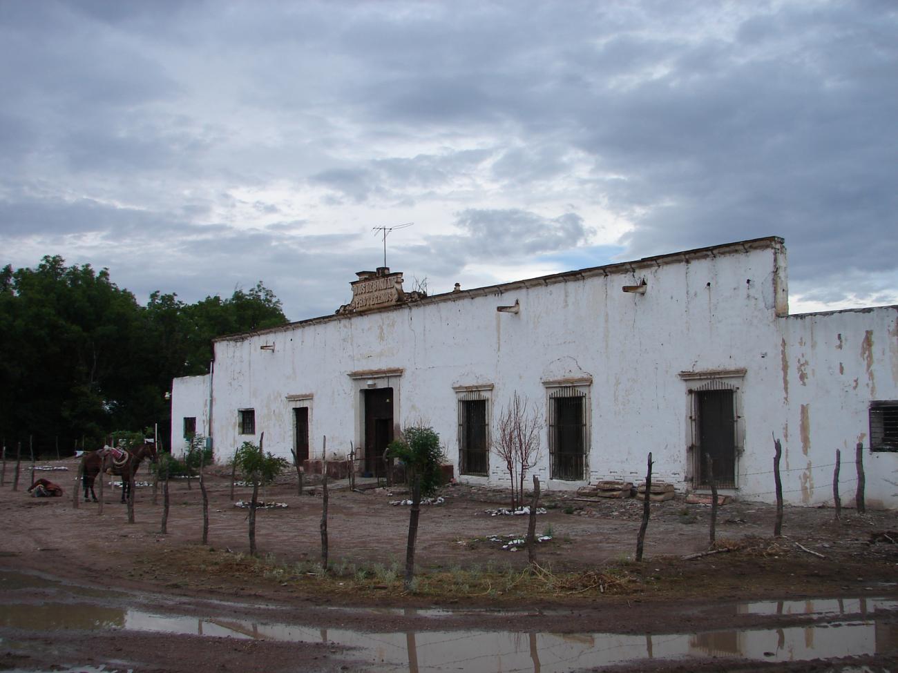

An important agricultural center and historical city where in 1811, in the San Francisco Monastery, the heads of the fathers of Mexican Independence were put on display, to the horror of the local population: Miguel Hidalgo, Ignacio Allende, Juan Aldama and Mariano Jiménez.
Valle de Allende
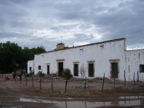
Historical Monuments Zone
Route element
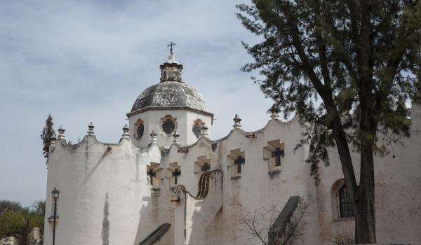
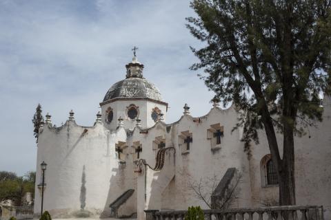
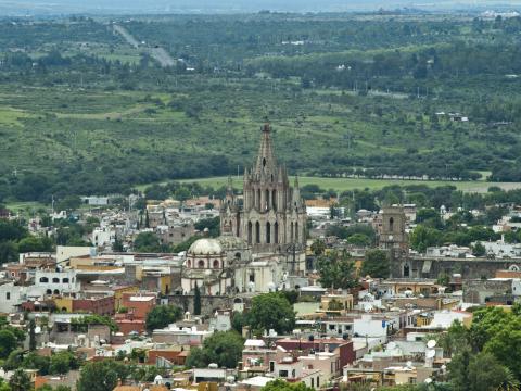
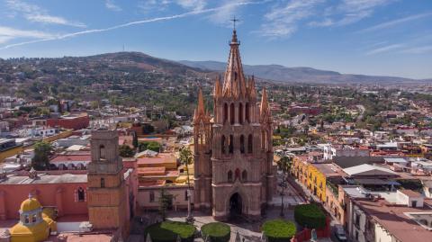
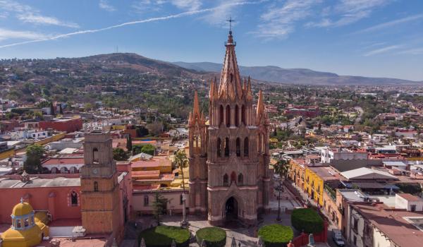
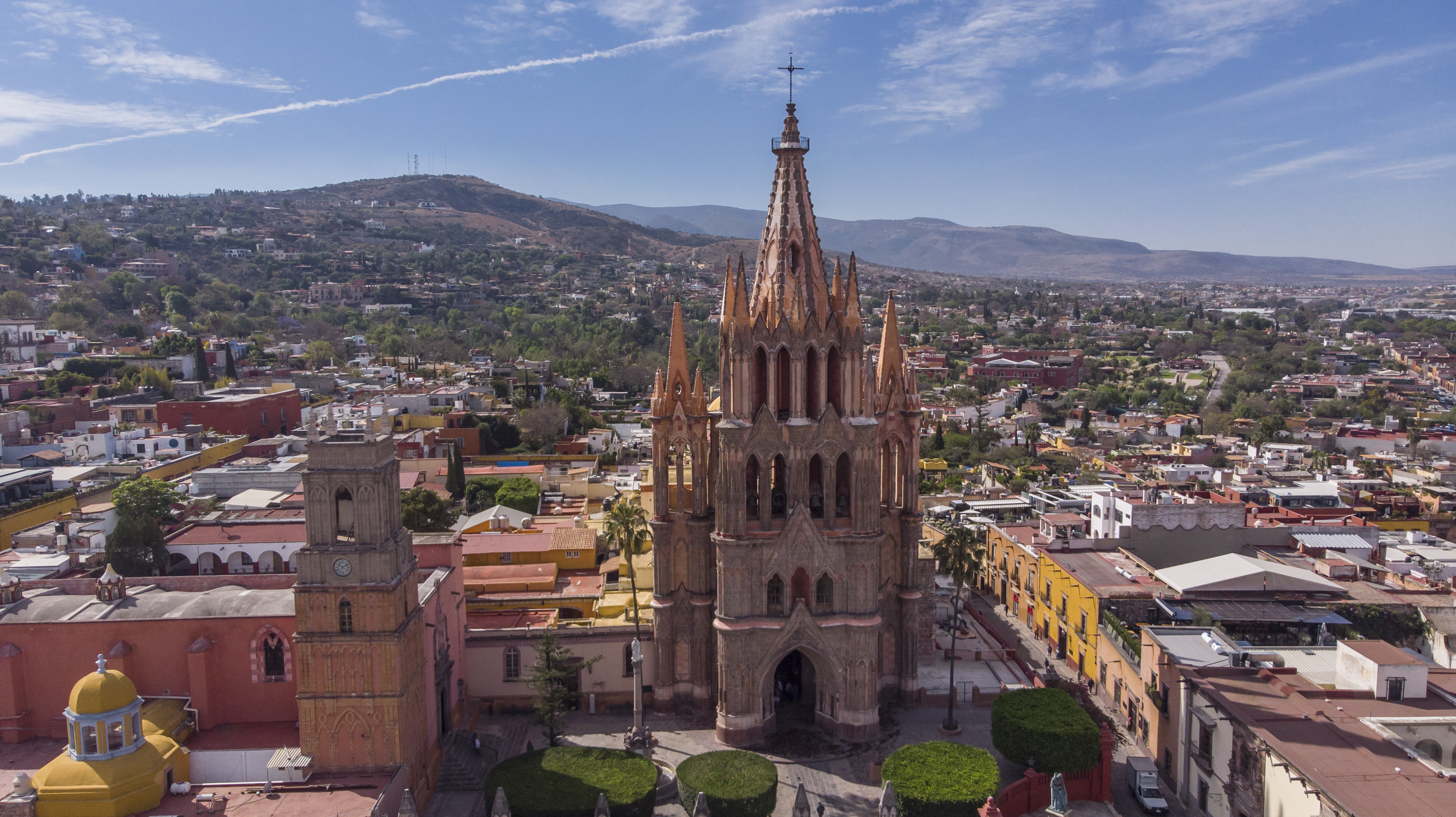
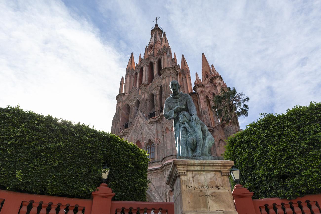
Villa Protectora de San Miguel el Grande y Santuario de Jesús Nazareno de Atotonilco
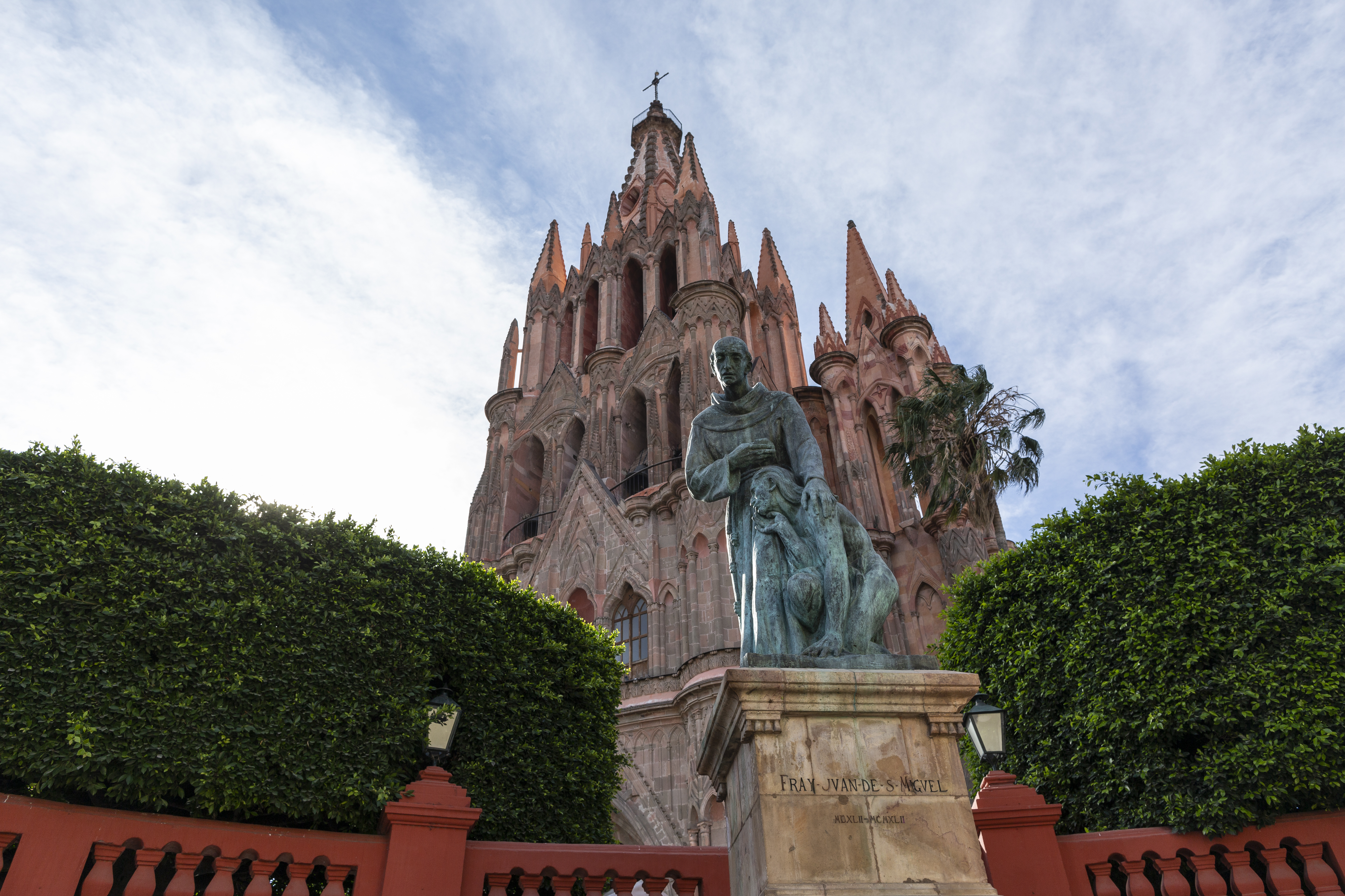
The Villa Protectora de San Miguel el Grande and Sanctuary of Jesús Nazareno de Atotonilco is located in the north-central region of Guanajuato, which before the arrival of the Spanish was occupied by Chichimec Indians extending from Chamacuero to Guanajuato and San Felipe.
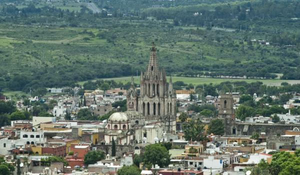
Villa Protectora de San Miguel el Grande y Santuario de Jesús Nazareno de Atotonilco
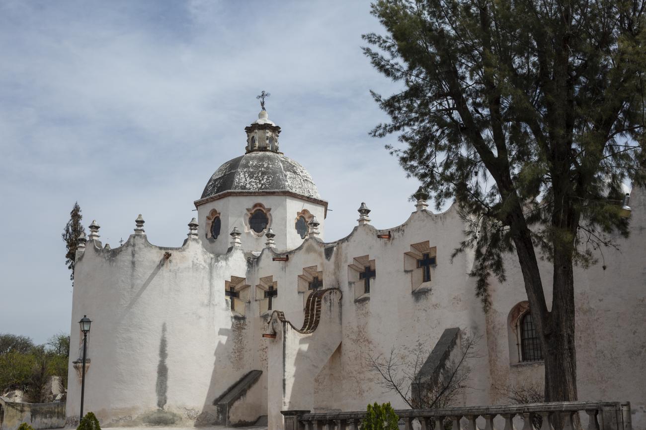
The Villa Protectora de San Miguel el Grande and Sanctuary of Jesús Nazareno de Atotonilco is located in the north-central region of Guanajuato, which before the arrival of the Spanish was occupied by Chichimec Indians extending from Chamacuero to Guanajuato and San Felipe. The first contacts between the natives and the Spanish occurred in the 1520s, but colonization would not take place until 1542.