


Tramo del Camino Real entre Nazas y San Pedro del Gallo
The stretch of the Royal Inland Road between Nazas and San Pedro del Gallo is located in an area that was part of the presidio line, on the borders of the Bolsón de Mapimí. It spans approximately fifty kilometers, connecting the Hacienda de San Antonio, the former Jesuit mission of Cinco Señores (now Nazas), and the presidio of San Pedro del Gallo. These points were part of the route between Cuencamé and Parral and represented a day's journey on foot for travelers.
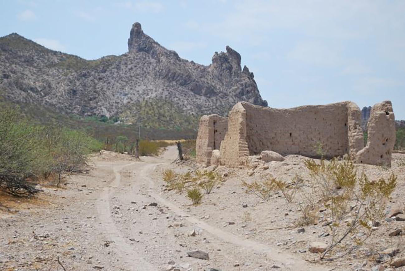
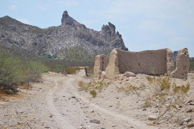
Although this segment of the road offered very favorable conditions for cart transportation and the movement of transhumant livestock since the 16th century, it wasn't until the discovery of the Parral mines in 1631 that this stretch gained significant importance. Part of this importance stemmed from the fact that both the Jesuit mission of Nazas and San Pedro del Gallo— the latter founded in 1685— were essential rest and supply points along the route due to the presence of several springs in the area and the steady flow of the Nazas River. Initially, this stretch, which mostly retains its original layout, did not have any significant settlements along its route, except for a few rancherías south of the Nazas River. To the south was the Real de San Antonio de Cuencamé, and to the north were the Hacienda de la Zarca and the presidio of San Miguel de Cerro Gordo.
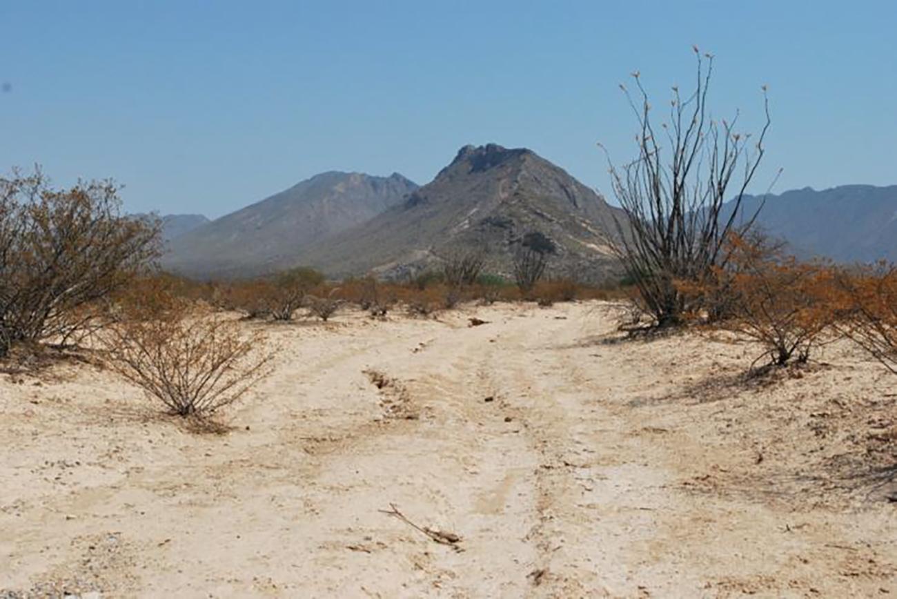
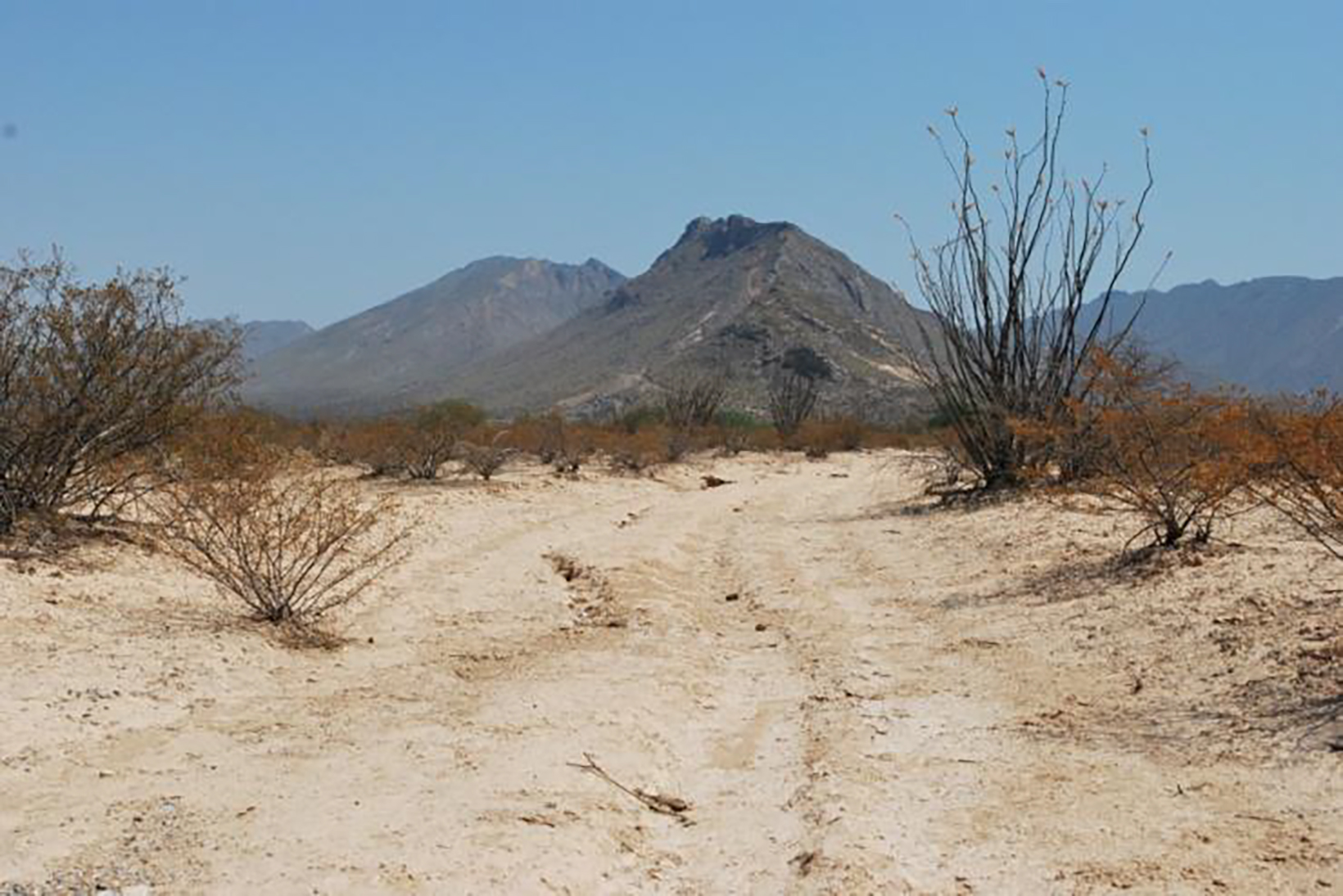
The stretch of the road is located in the central part of the State of Durango, characterized by being in a semi-desert region and consisting of a dirt path. This route follows a north-south direction across a narrow valley that is bounded on its eastern side by a succession of mountains.