





Camino Real de Tierra Adentro
Camino Real de Tierra Adentro

World Heritage
Patrimonio mundial
Cultural
Cultural route
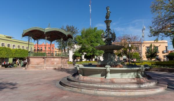
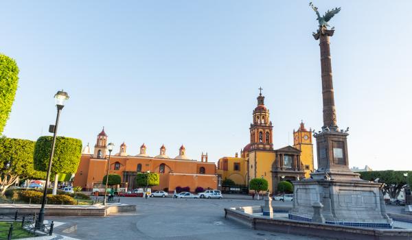
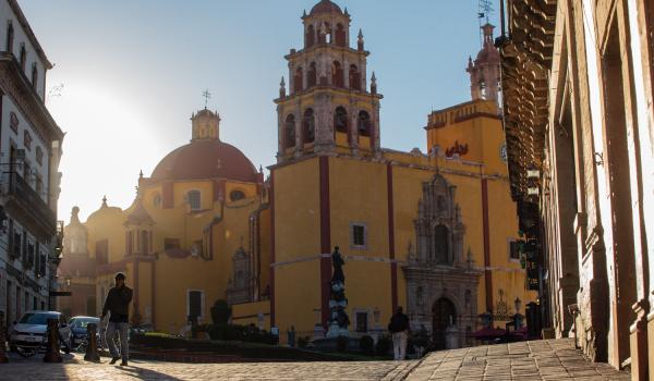
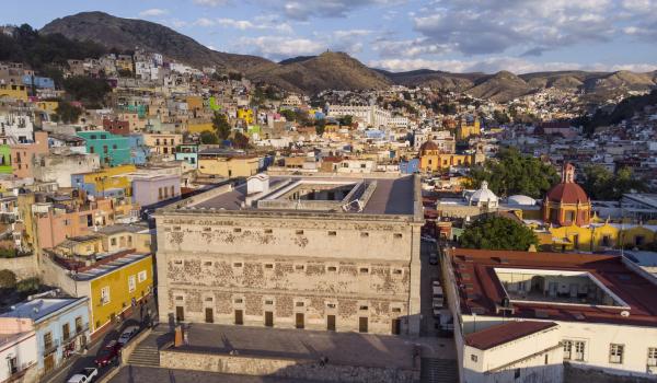
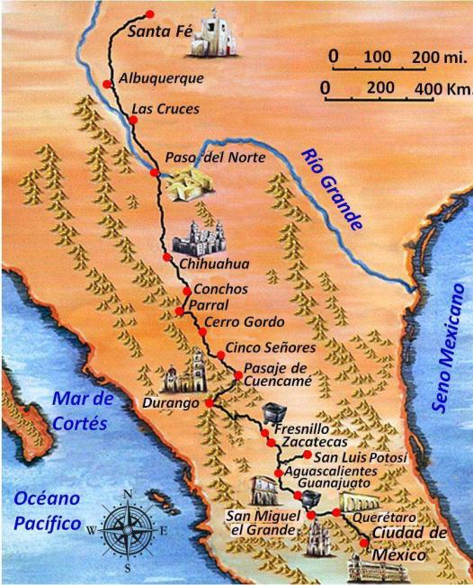
Used between the 16th and 19th centuries, this road was used to transport silver extracted from the mines of Zacatecas, Guanajuato and San Luis Potosí, as well as mercury imported from Europe. Although its origin and use are linked to mining, the Camino Real de Tierra Adentro also fostered the establishment of social, cultural and religious links between Hispanic and Amerindian cultures.
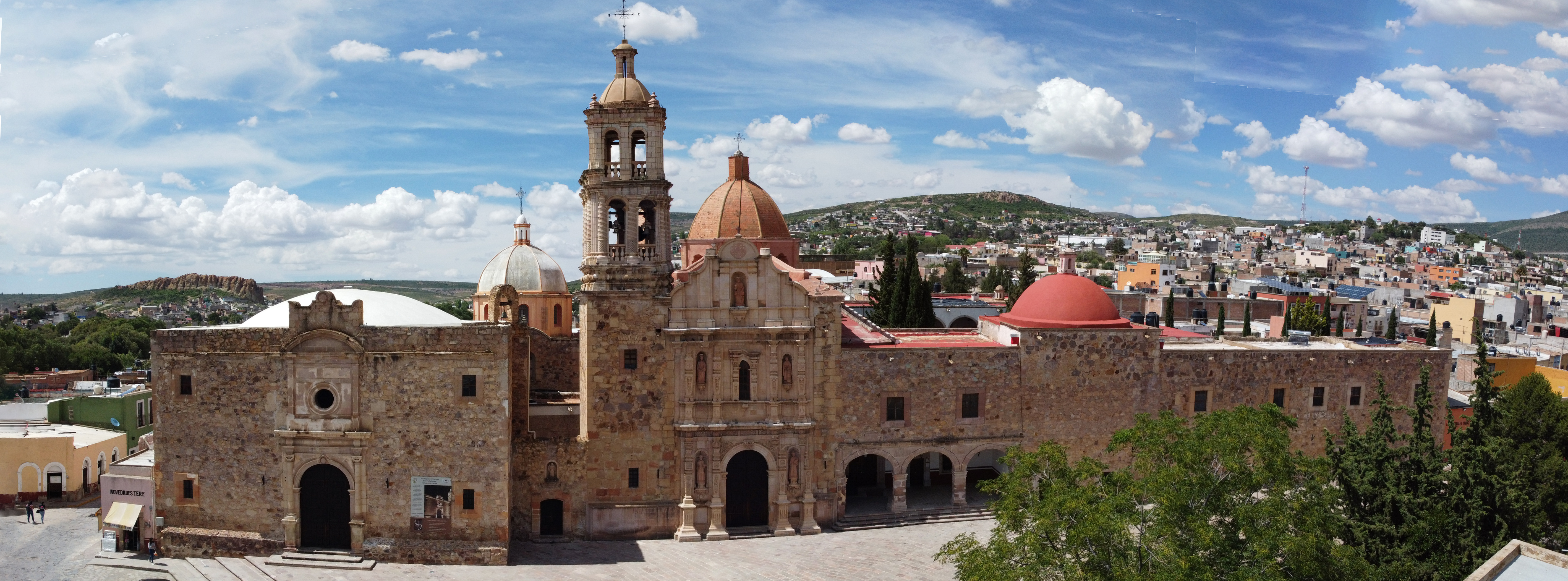
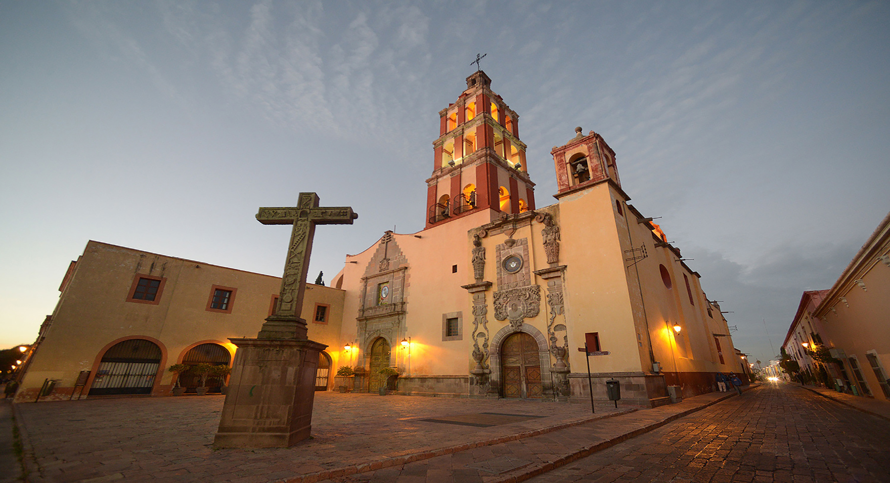
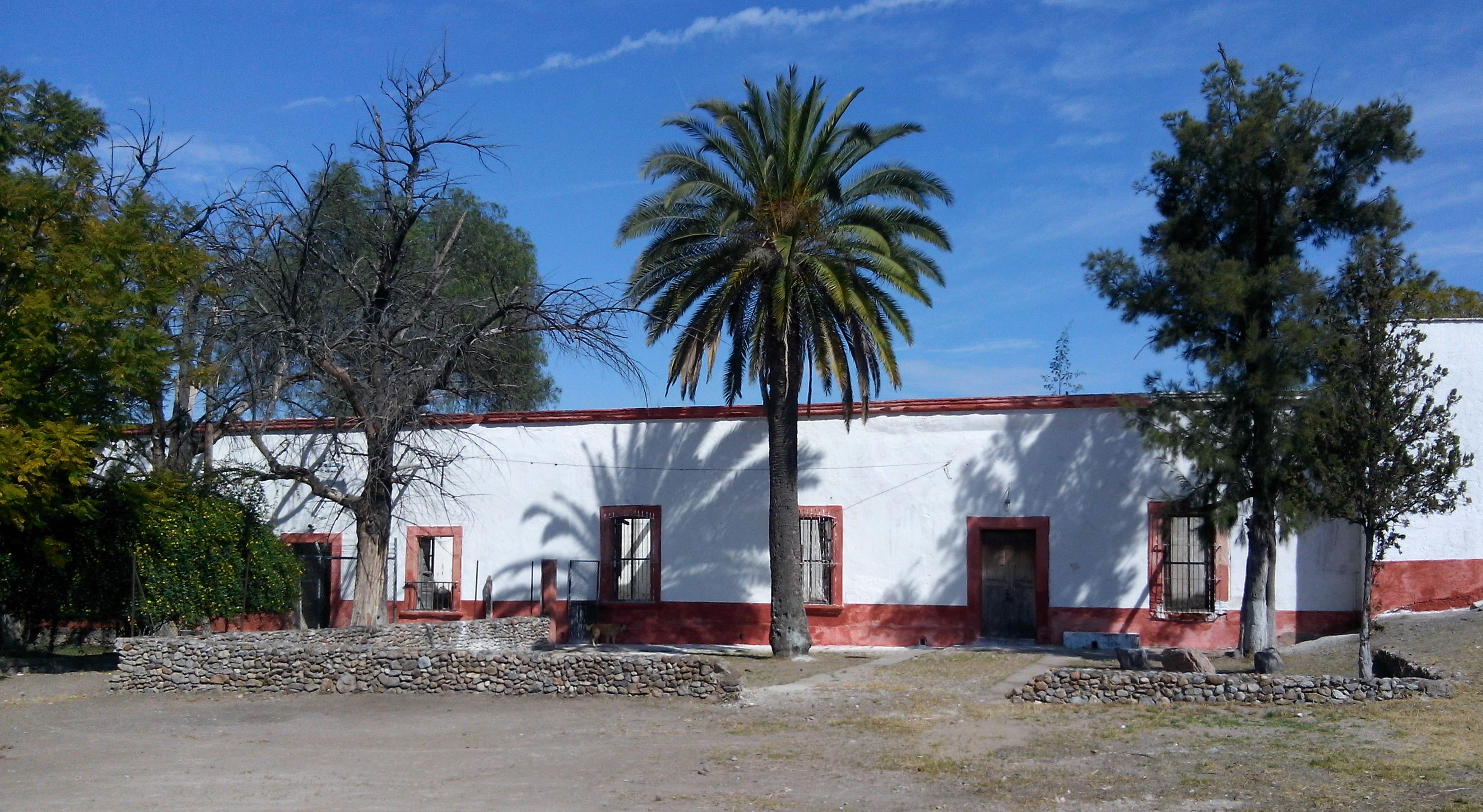
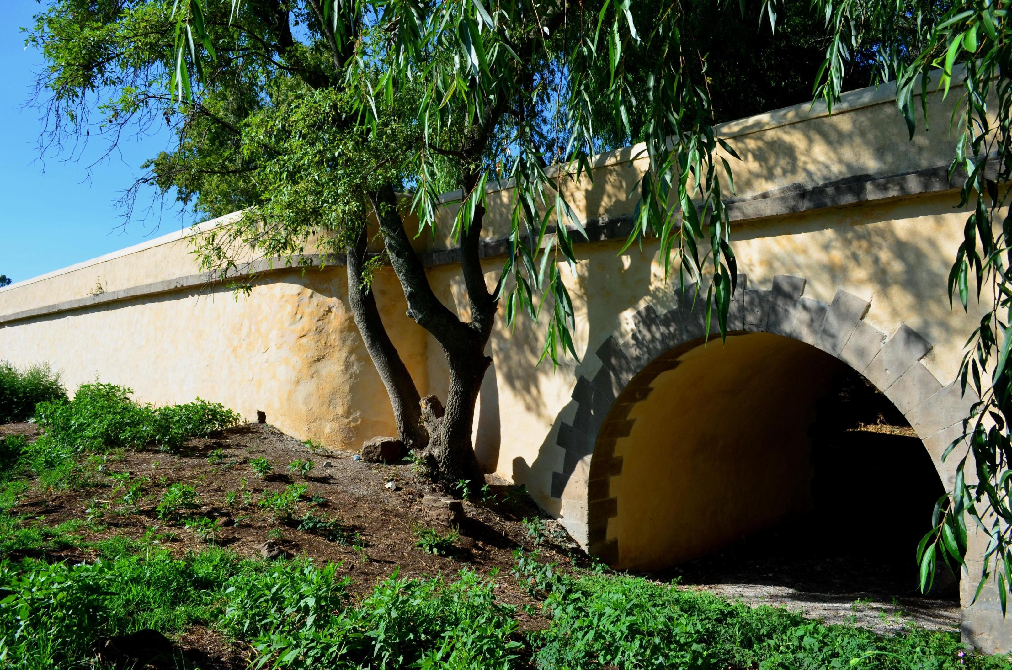
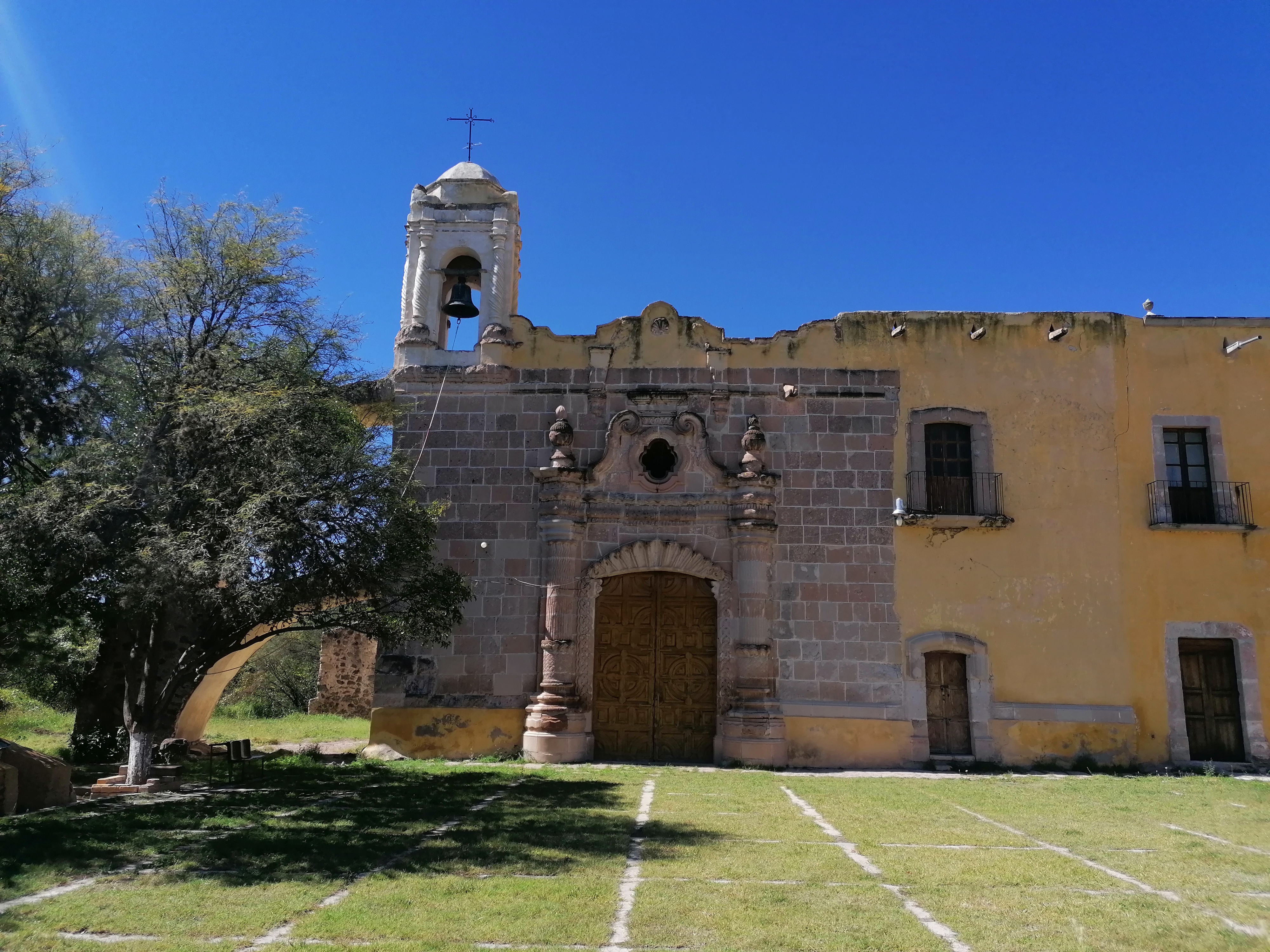
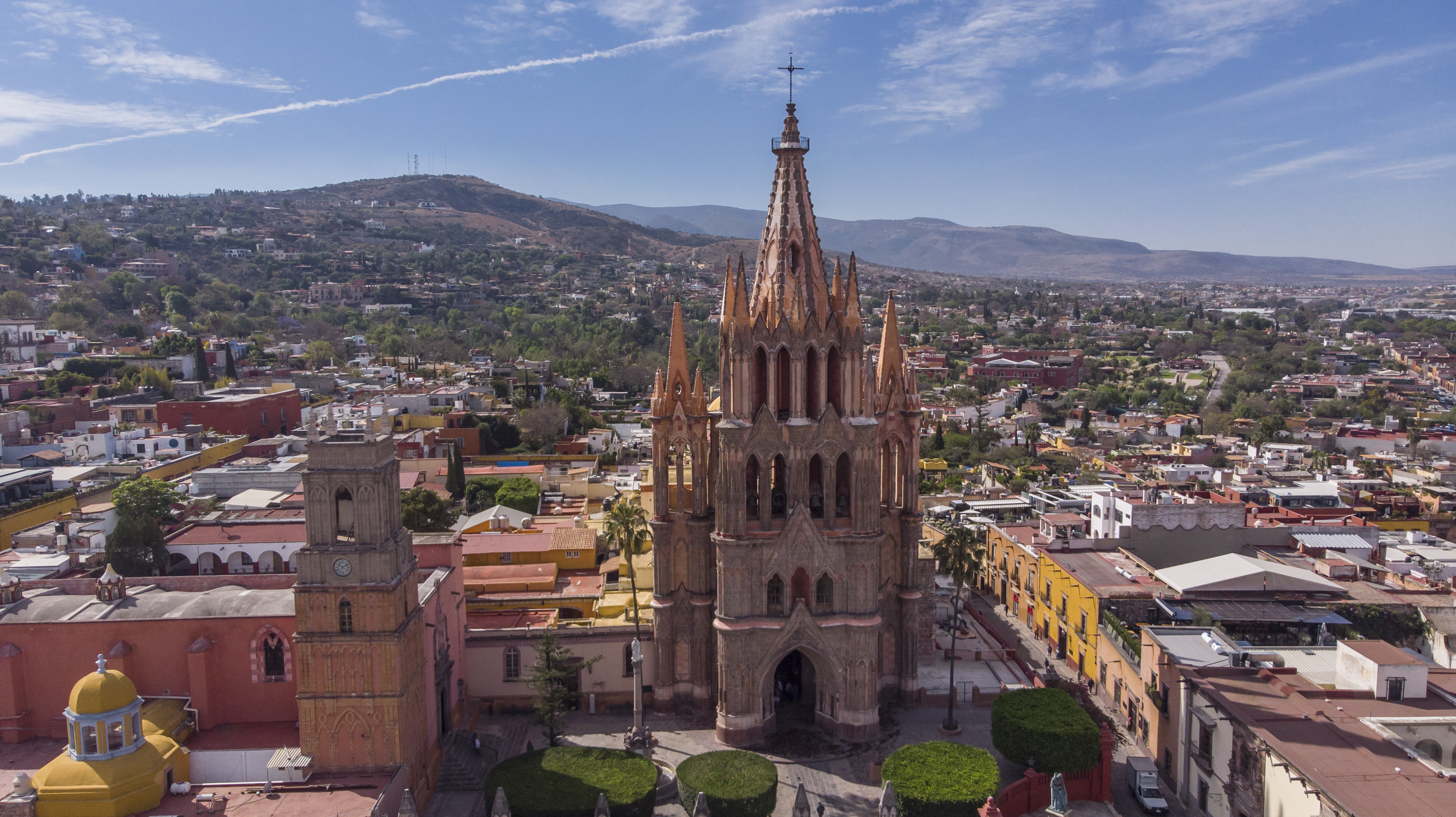
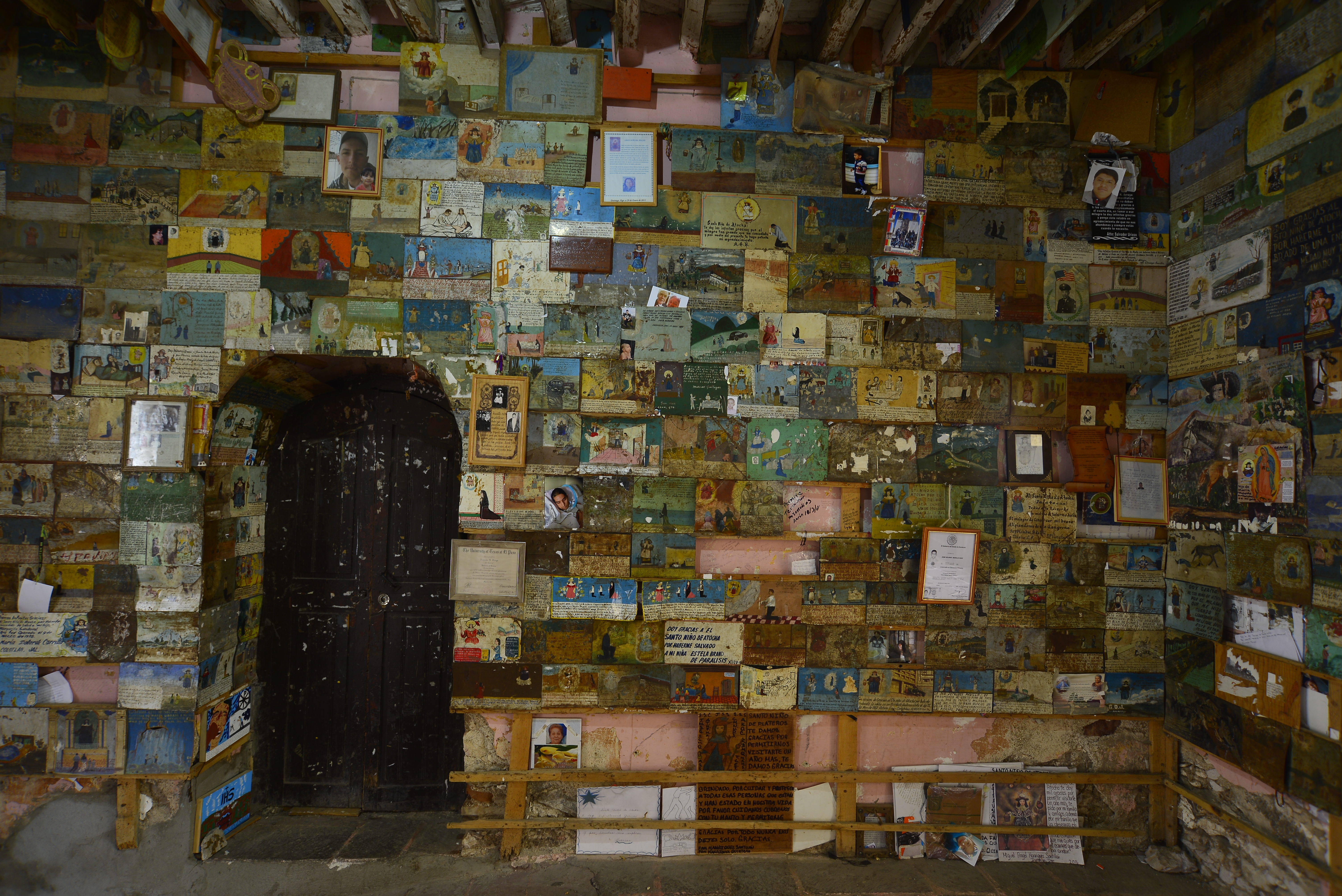
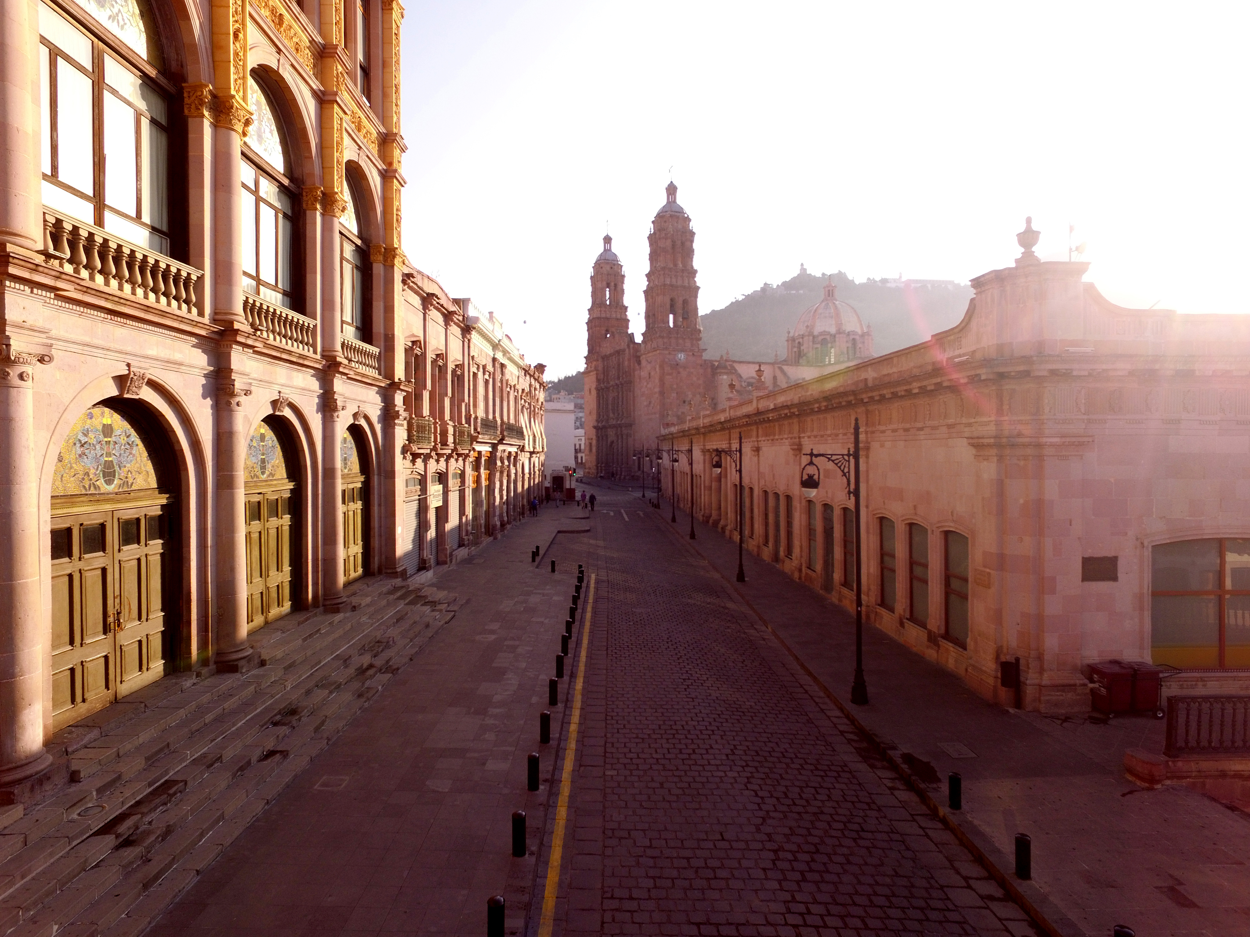
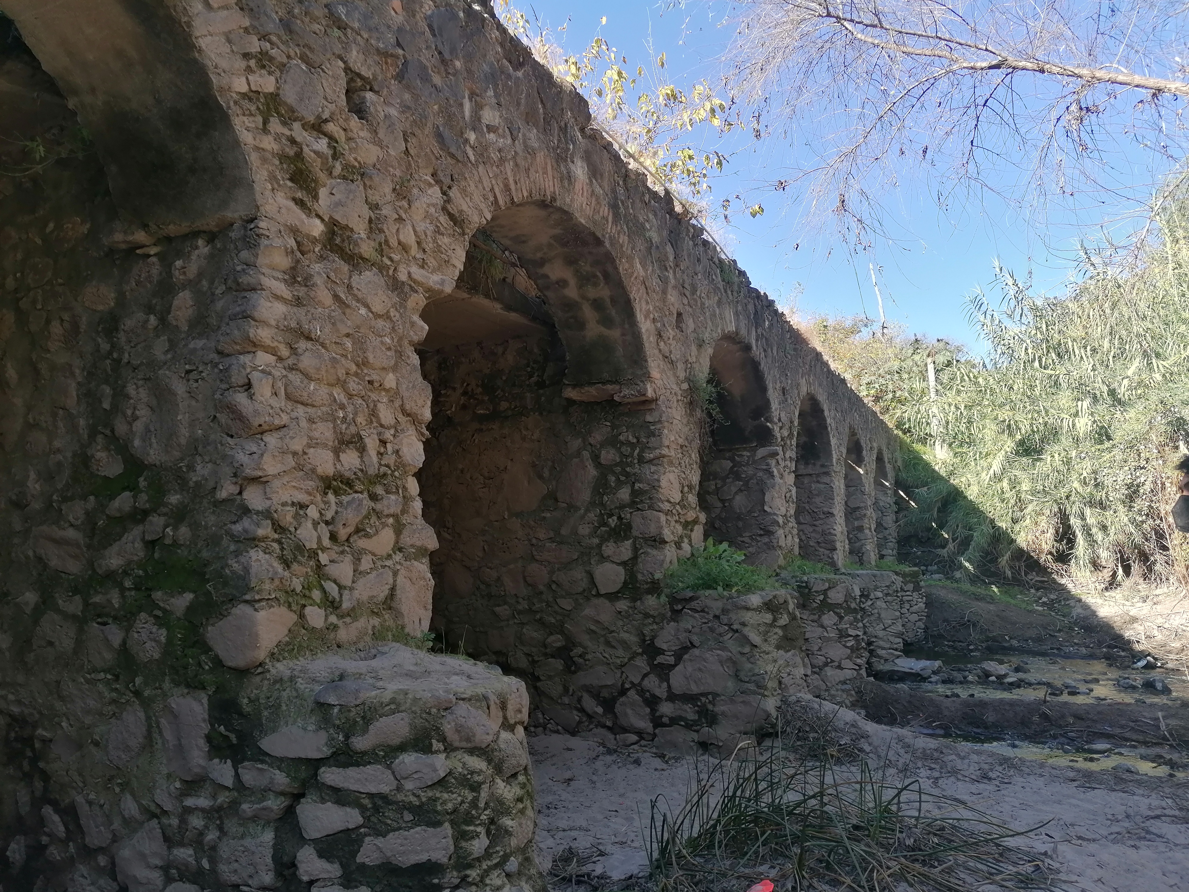
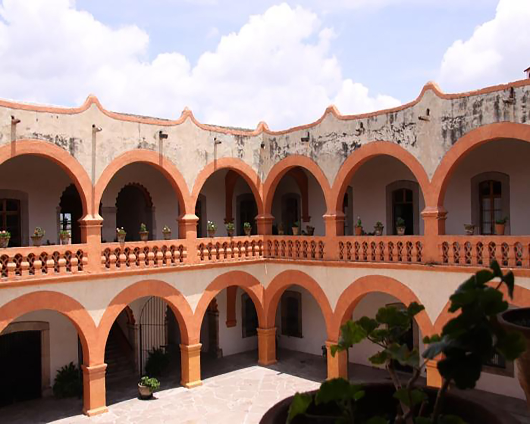
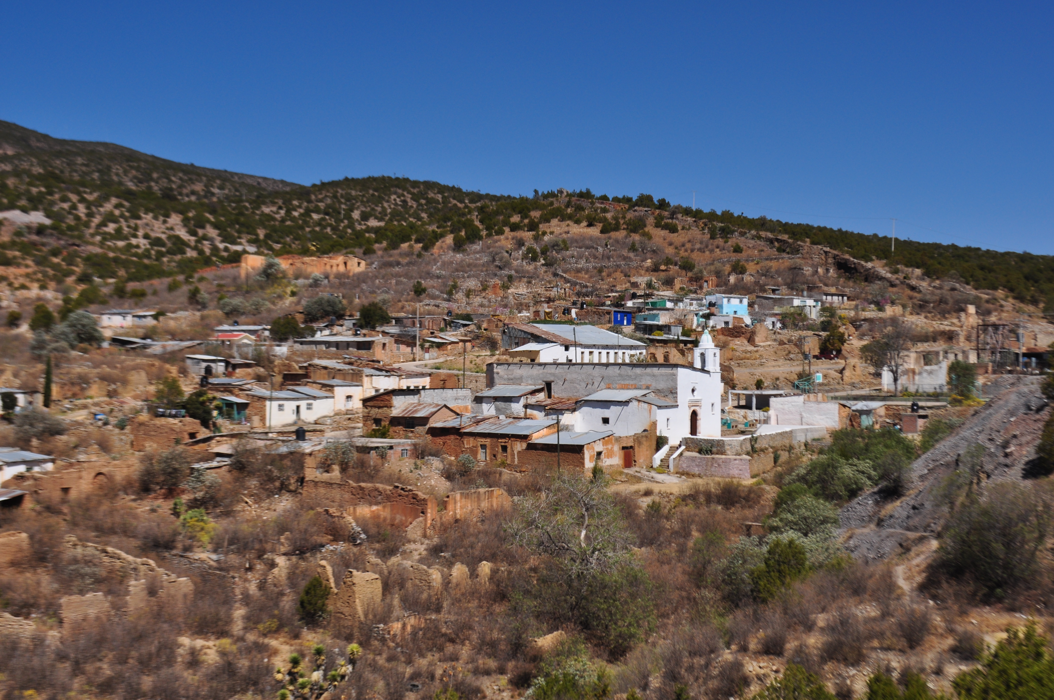
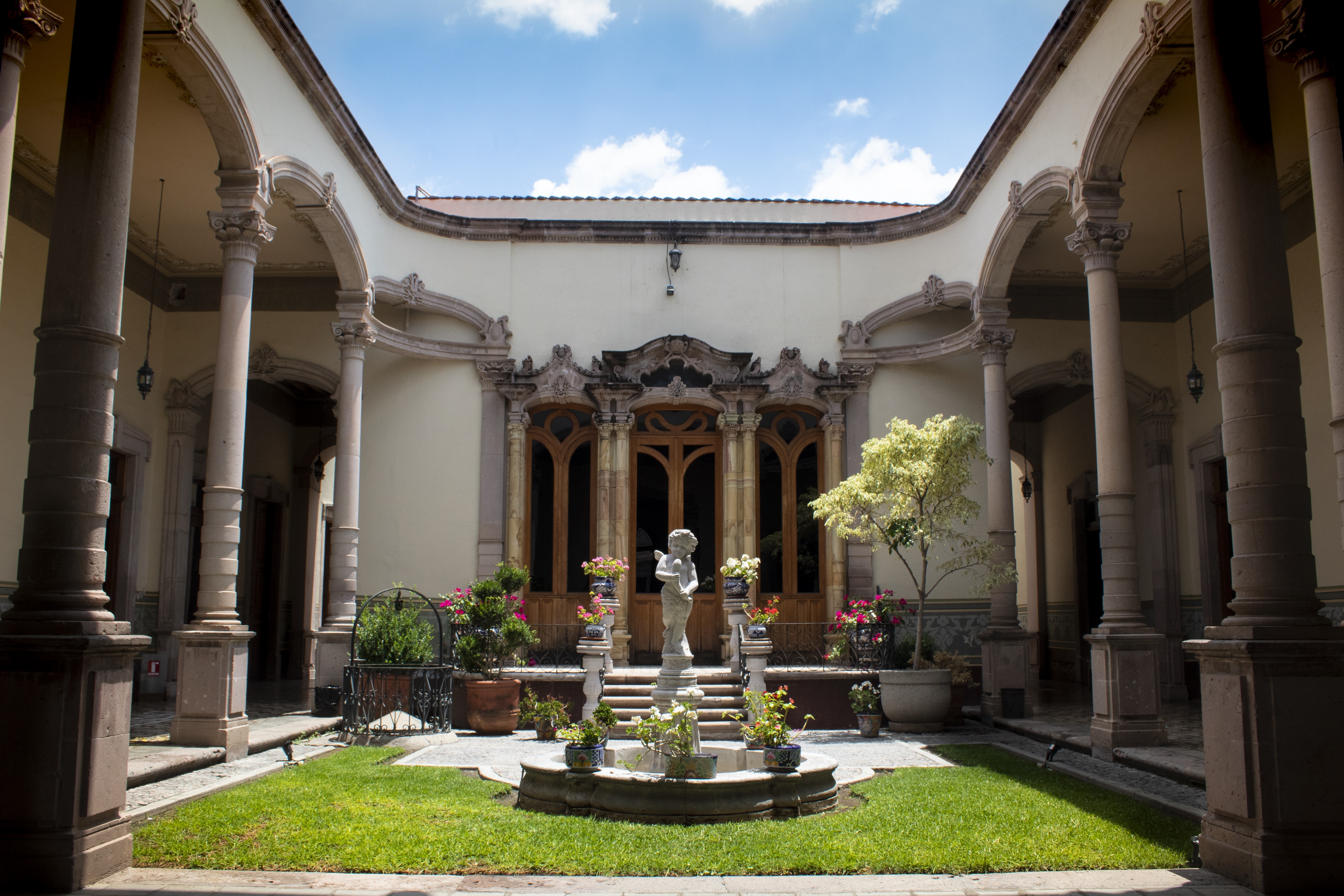
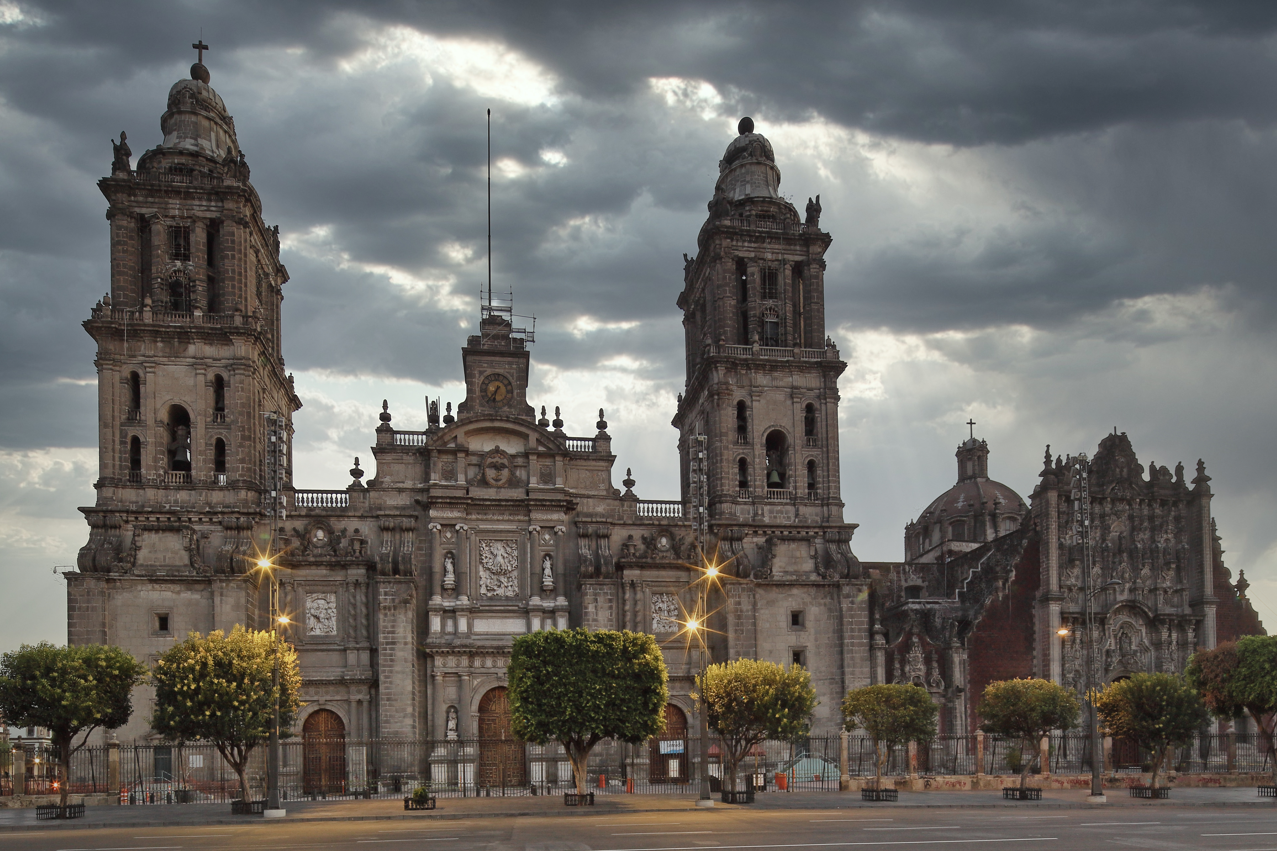
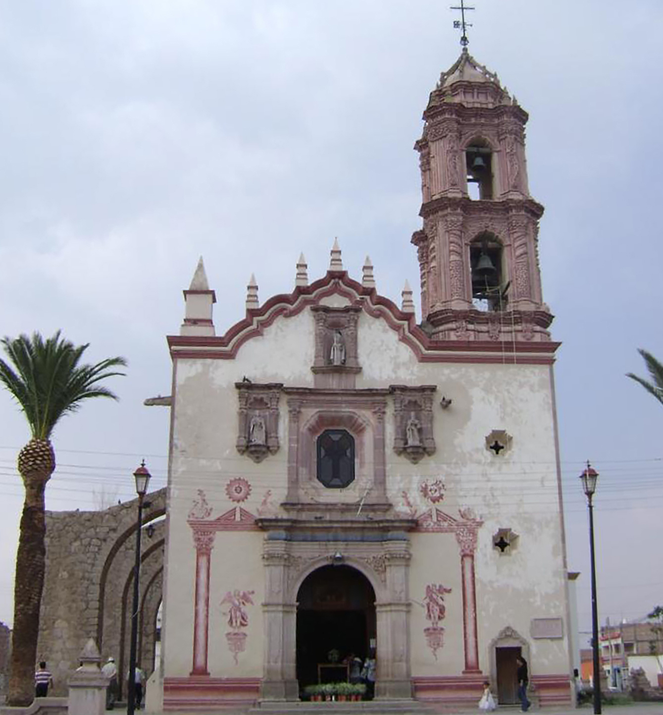
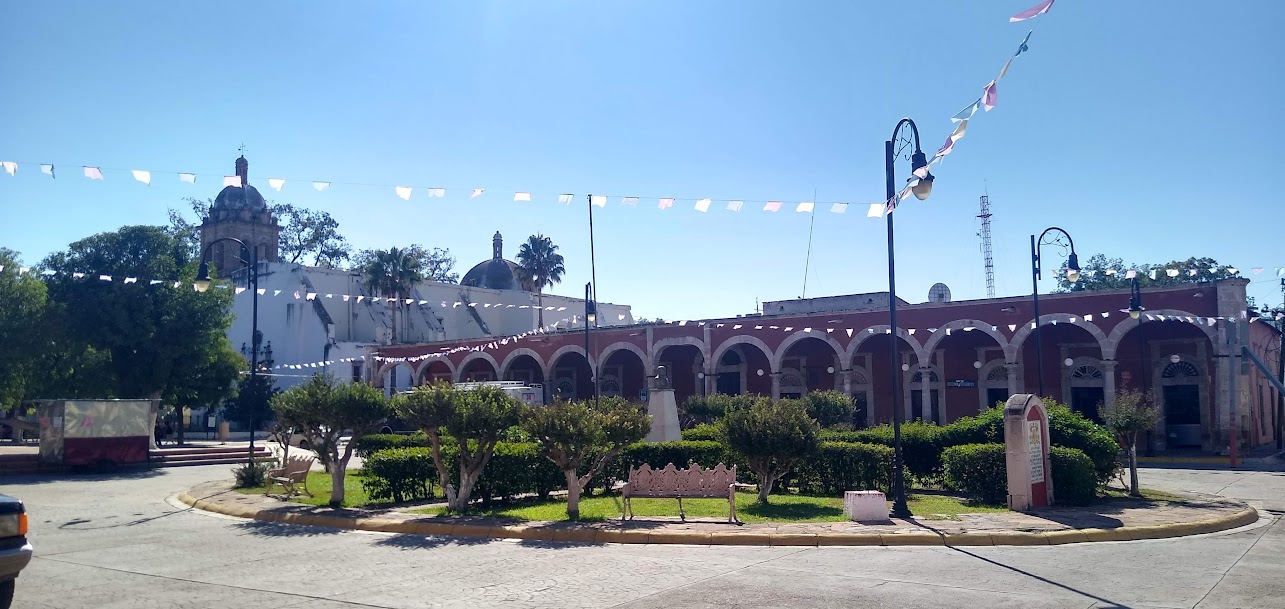
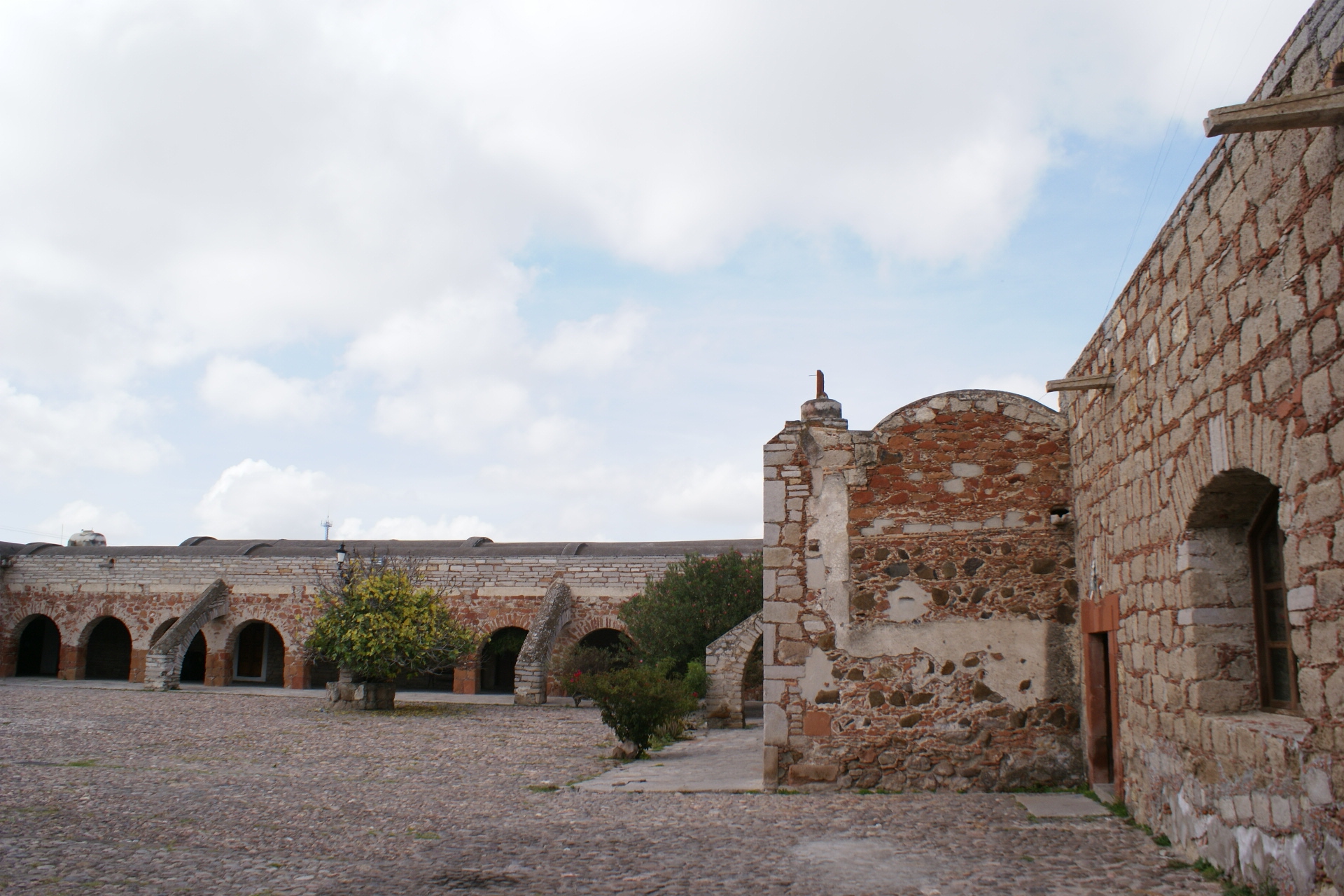
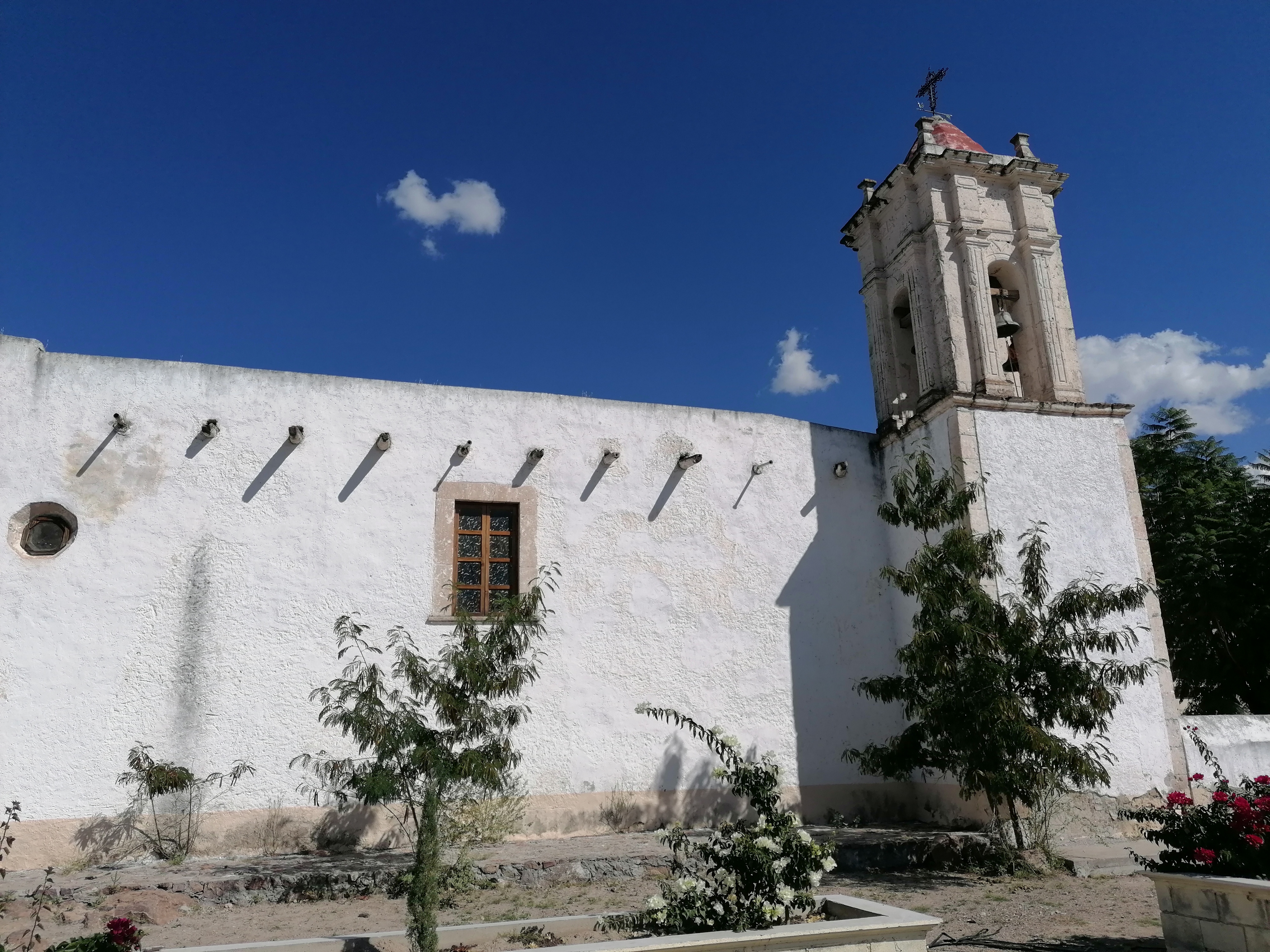
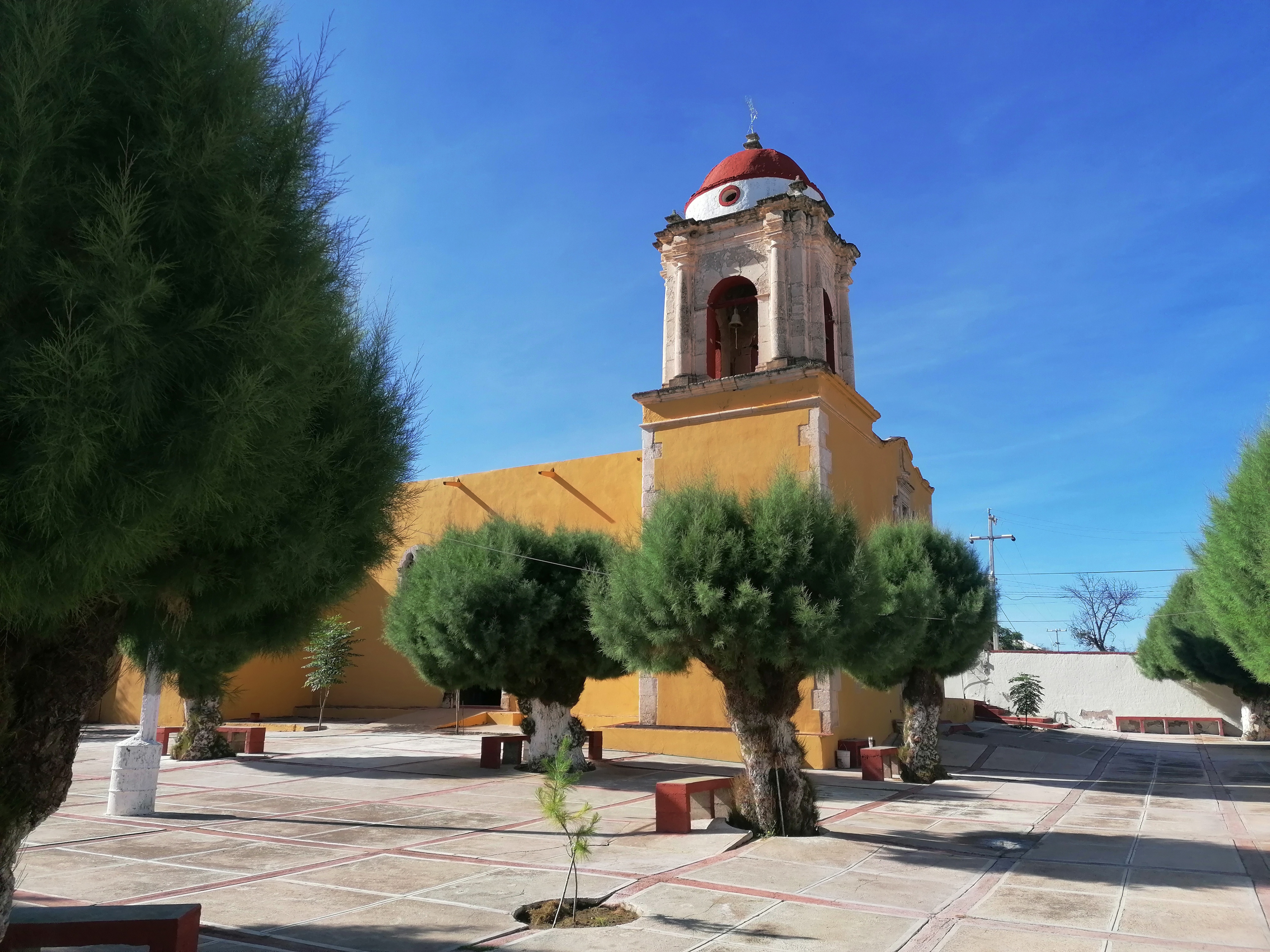
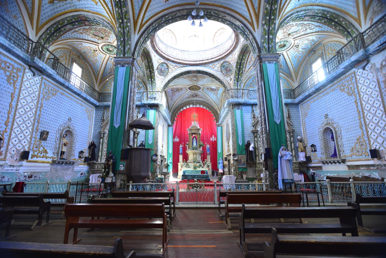
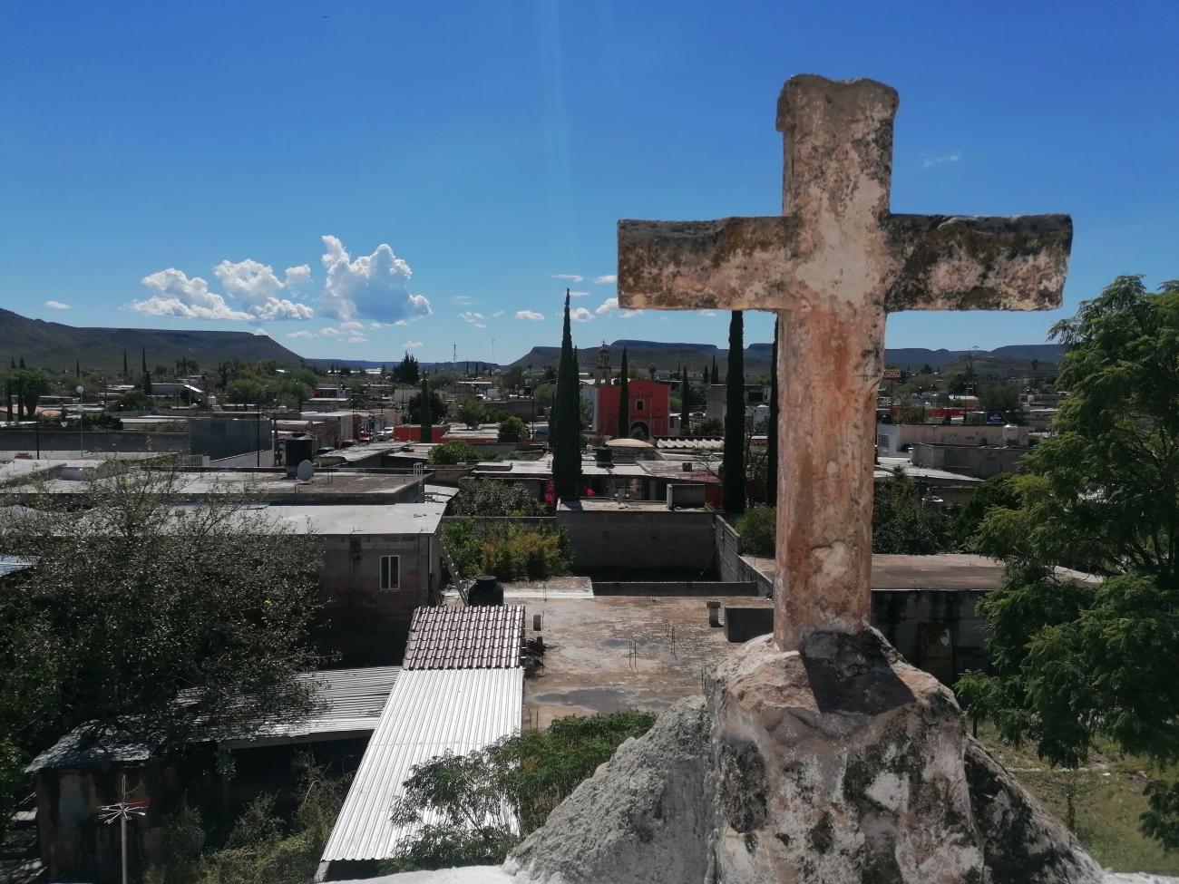
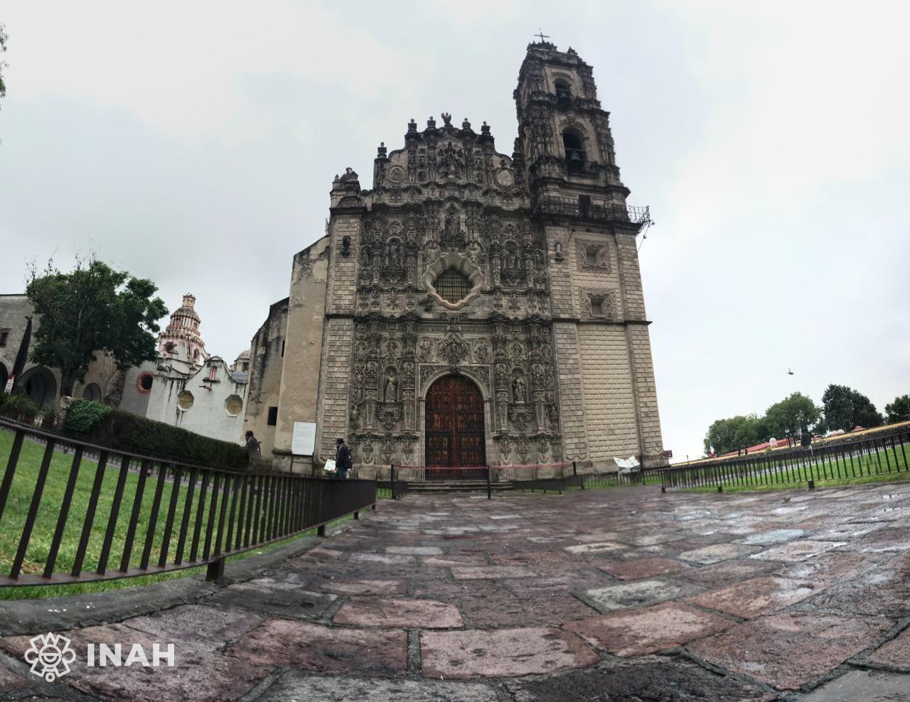
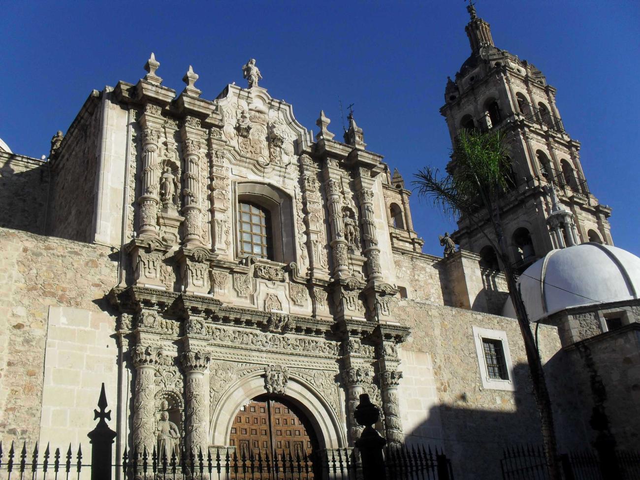
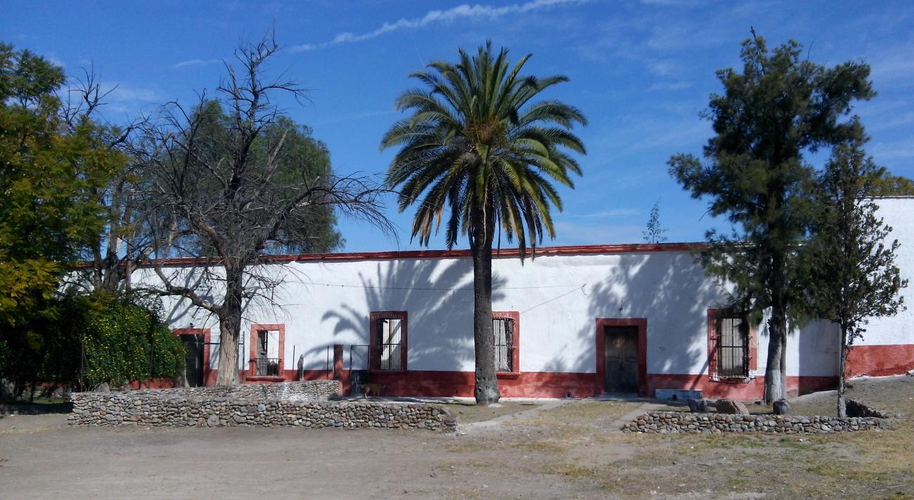
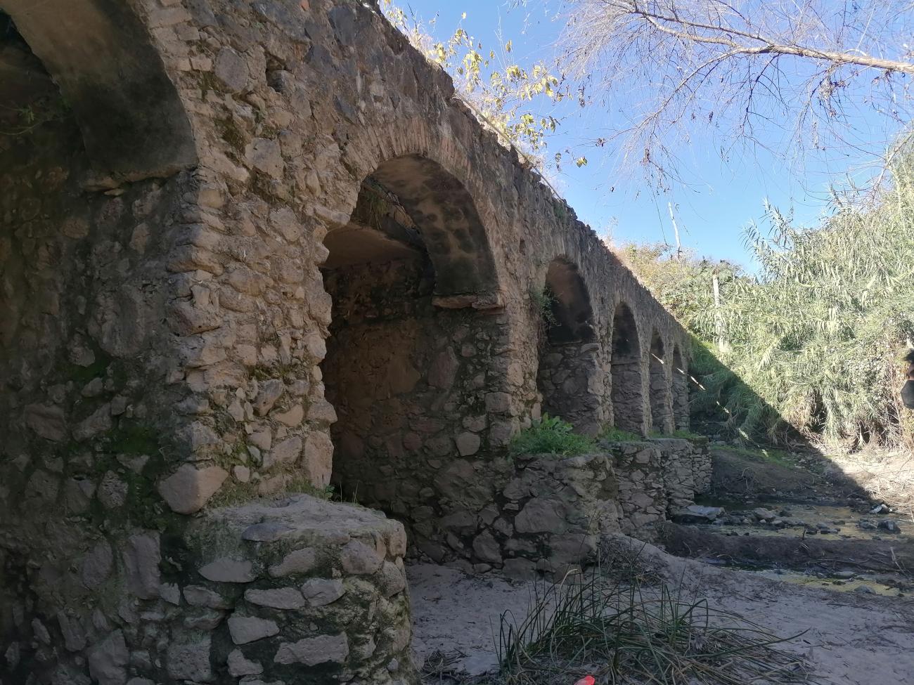
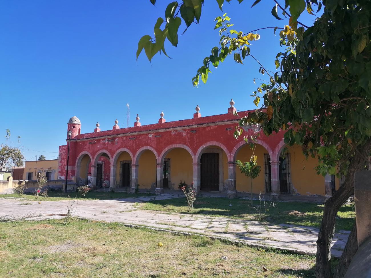
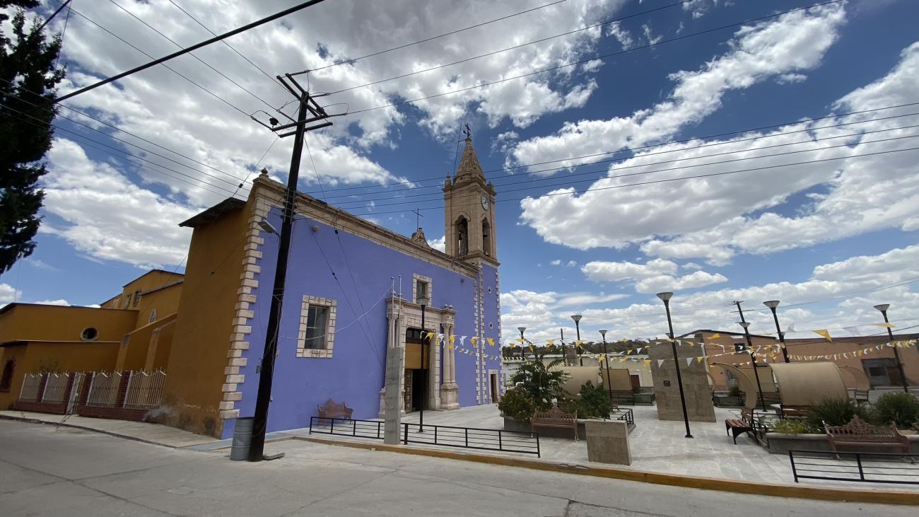
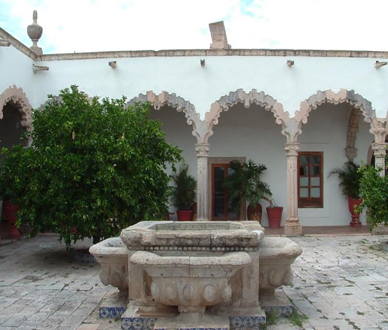
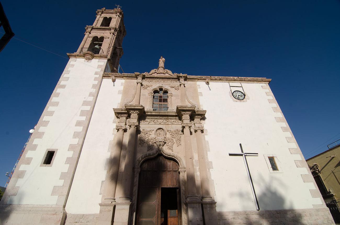
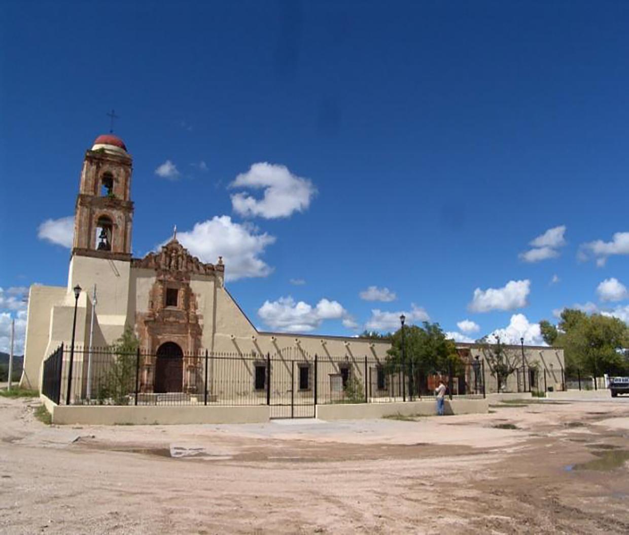
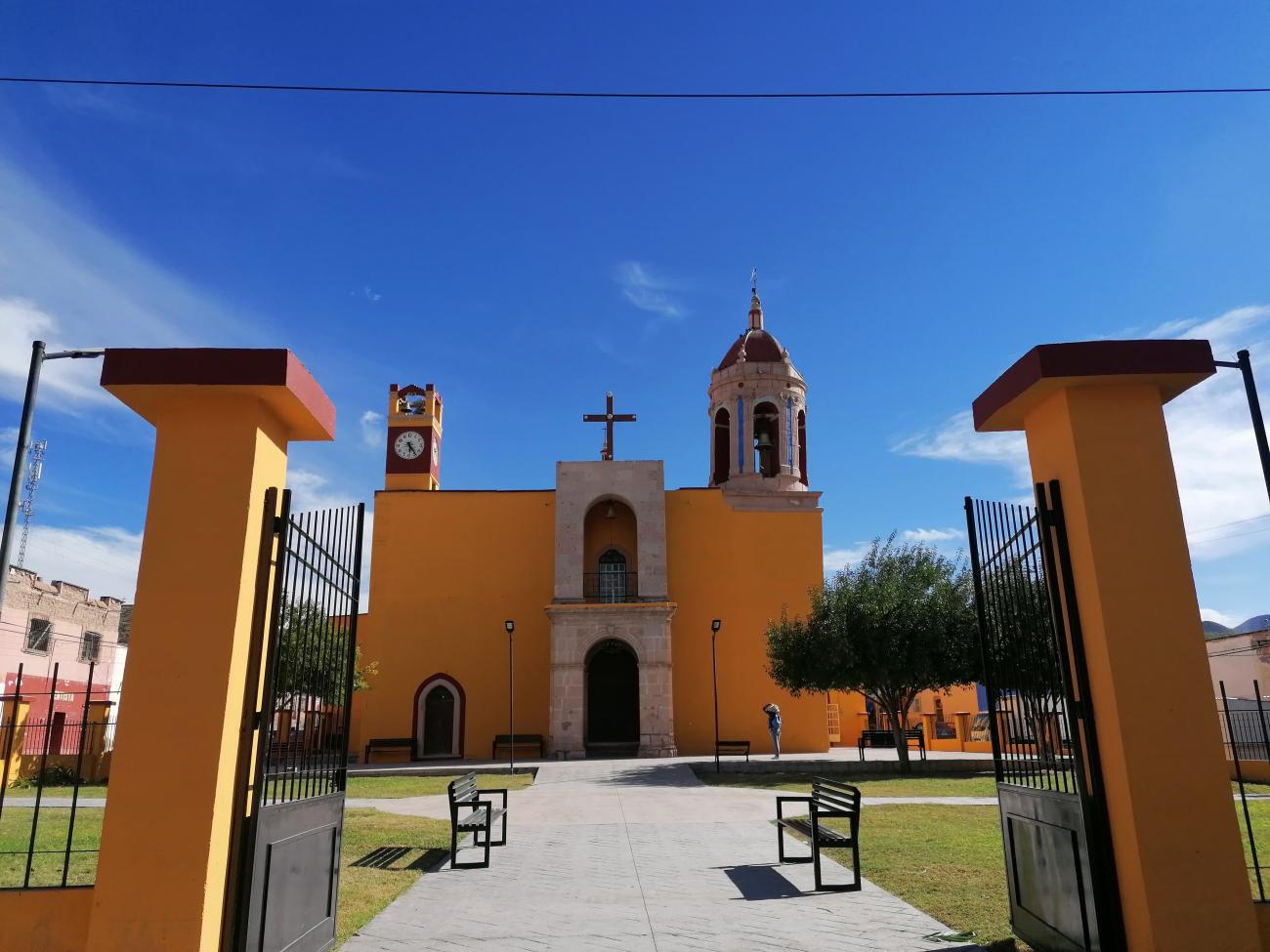
The Camino Real de Tierra Adentro constitutes a part of the Spanish Intercontinental Royal Route from Mexico City to Santa Fe. The property, consists of five existing urban World Heritage sites and 55 other sites related to the use of the road, such as bridges, former haciendas, historic centres/towns, a cemetery, former convents, a mountain range, stretches of road, a mine, chapels/temples and caves within a 1,400 km stretch of the road between Mexico City and the Town of Valle de Allende.
The Camino was an extraordinary phenomenon as a communication channel. Silver was the driving force that generated the wealth and commitment of the Spanish Government and the will of colonists to ‘open up’ the northern territory for mining, to establish the necessary towns for workers and to build the forts, haciendas, and churches.
The outcome of this highly profitable process was the development of mines, and the construction of the road and bridges, the establishment of multi-ethnic towns, with elaborate buildings that reflect a fusion of Spanish and local decoration, an agricultural revolution in the countryside centered on large hacienda estates with churches, and the movement of peoples up and down the road, facilitated to a great degree initially by settlements of muleteers, all of which led to the development of a distinctive culture along the route.
Ultimately the wealth of silver led to massive economic development in Spain and other parts of Europe and a period of great economic inflation. The impact of the road was enormous in terms of social tensions as well as ultimately social integration between the many people that came to be involved in the economic development. The structures in the property together reflect some aspects of this interchange of ideas and people along the southern stretch of the road.
Declaratoria UNESCO

Patrimonio Cultural
Categoría Cultural route
Fecha 01-08-2010
Criterios de valor Universal Excepcional
Este lugar cumple con los siguientes criterios de valor Universal Excepcional
(ii)
To exhibit an important interchange of human values, over a span of time or within a cultural area of the world, on developments in architecture or technology, monumental arts, town-planning or landscape design.
(iv)
To be an outstanding example of a type of building, architectural or technological ensemble or landscape which illustrates (a) significant stage(s) in human history.









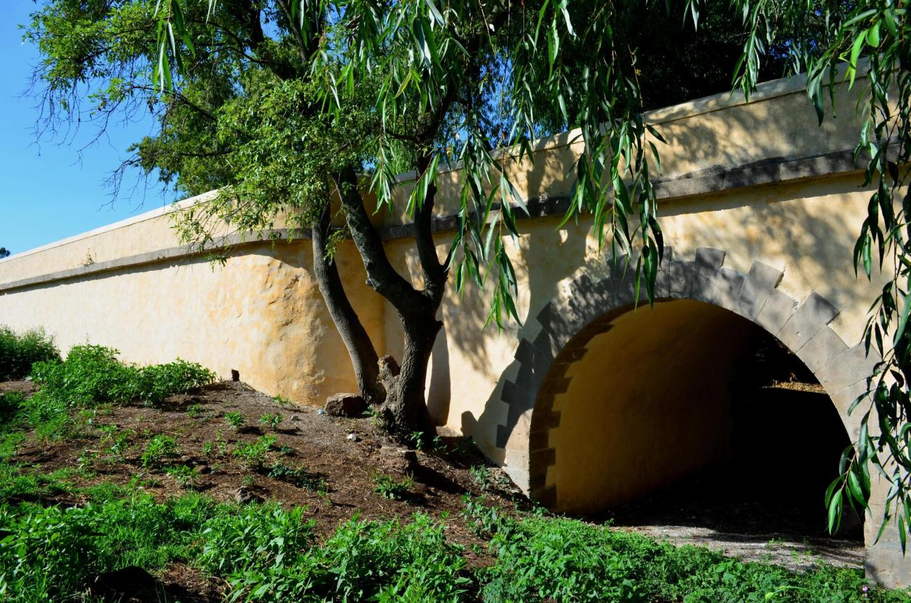
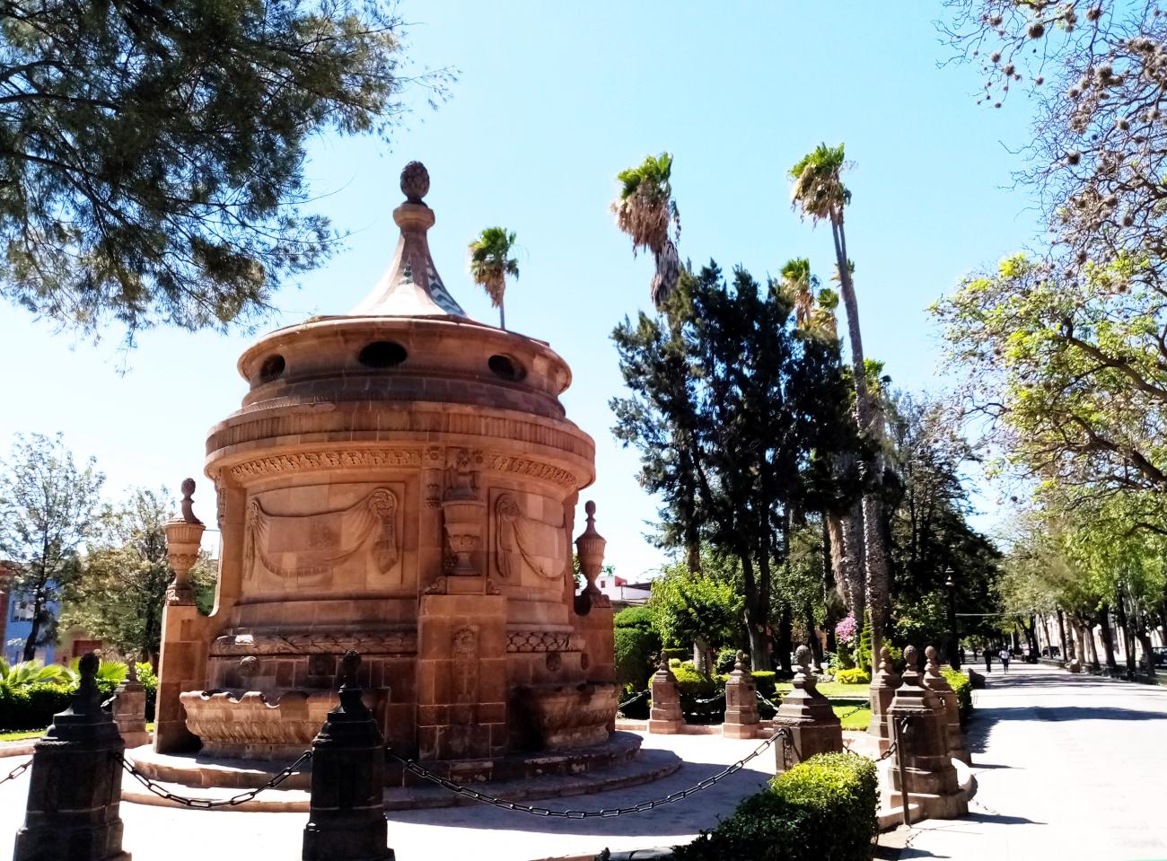
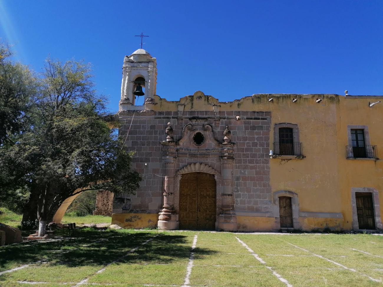
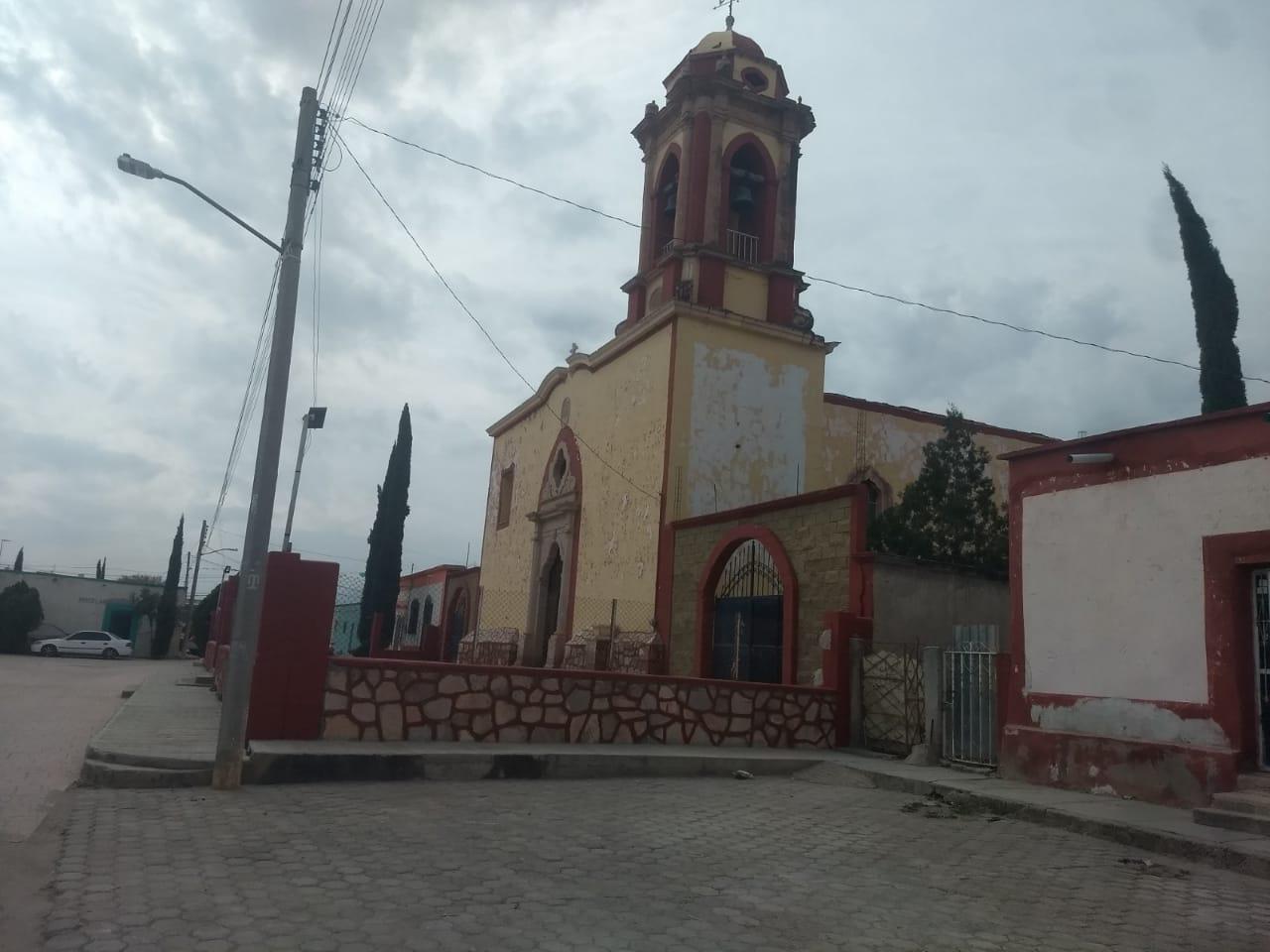

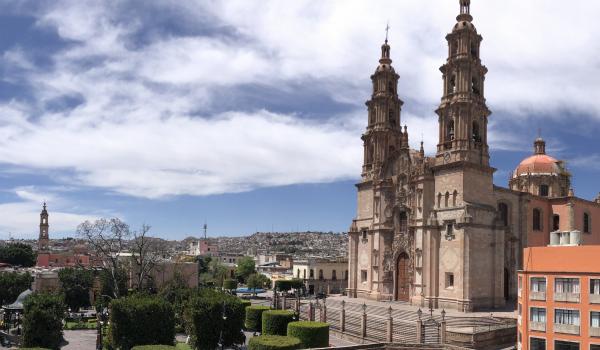
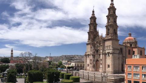
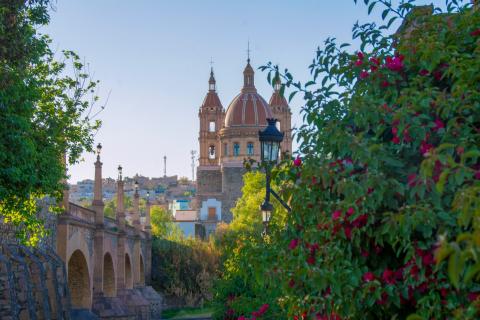
Centro histórico de Lagos de Moreno y puente
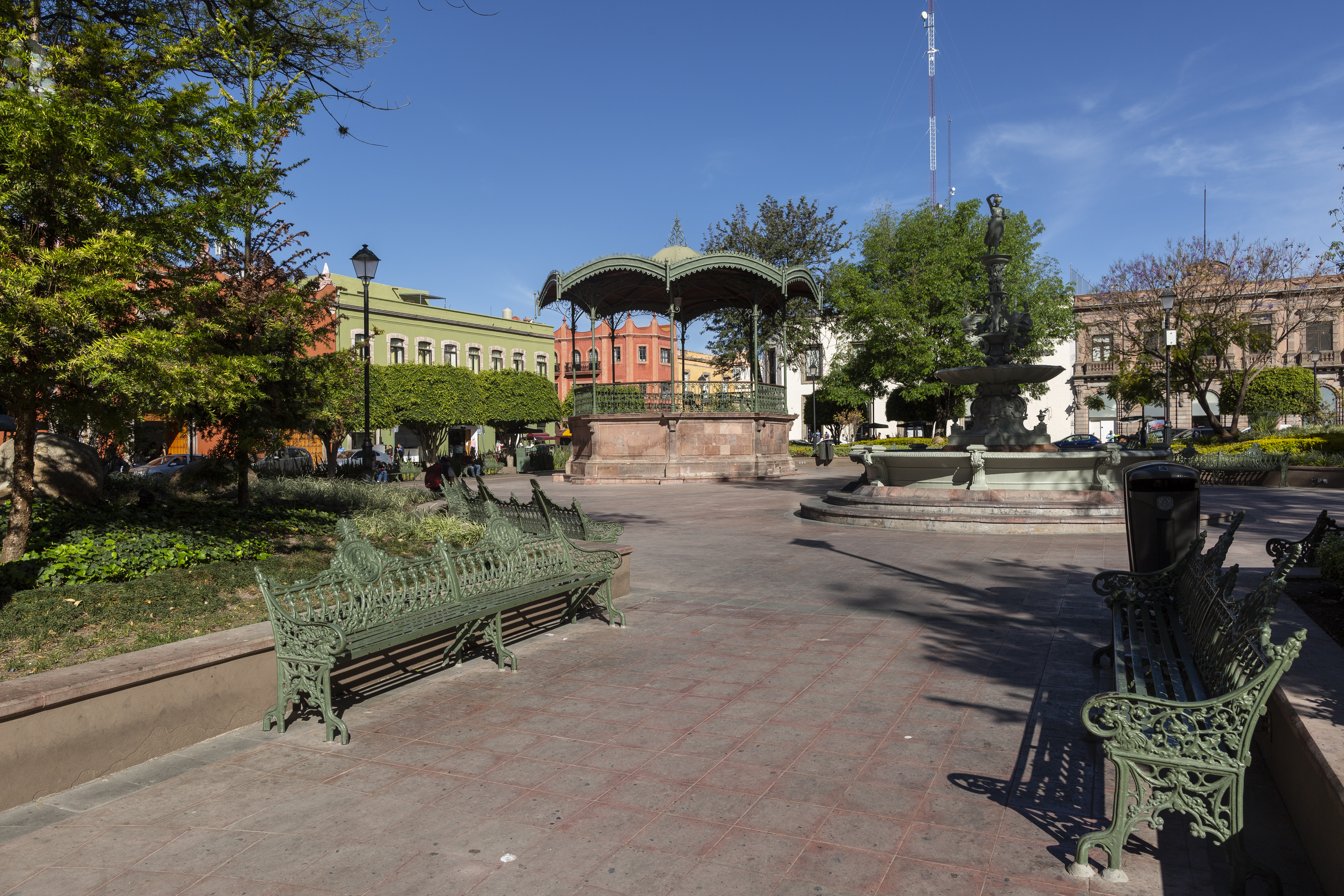
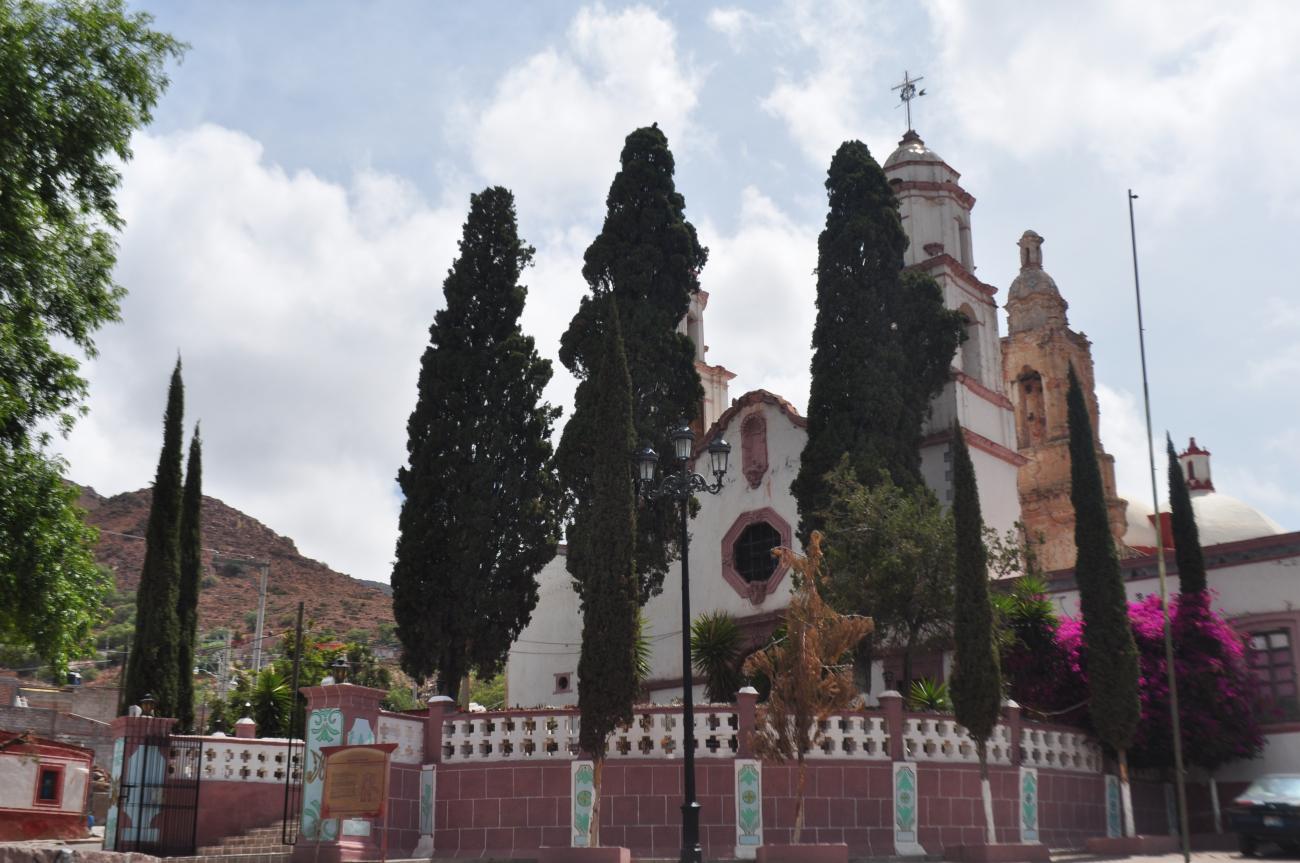
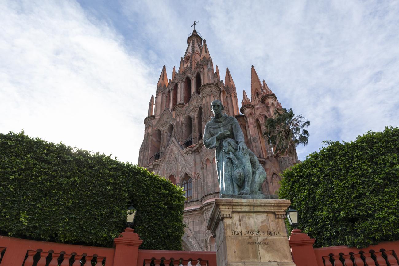
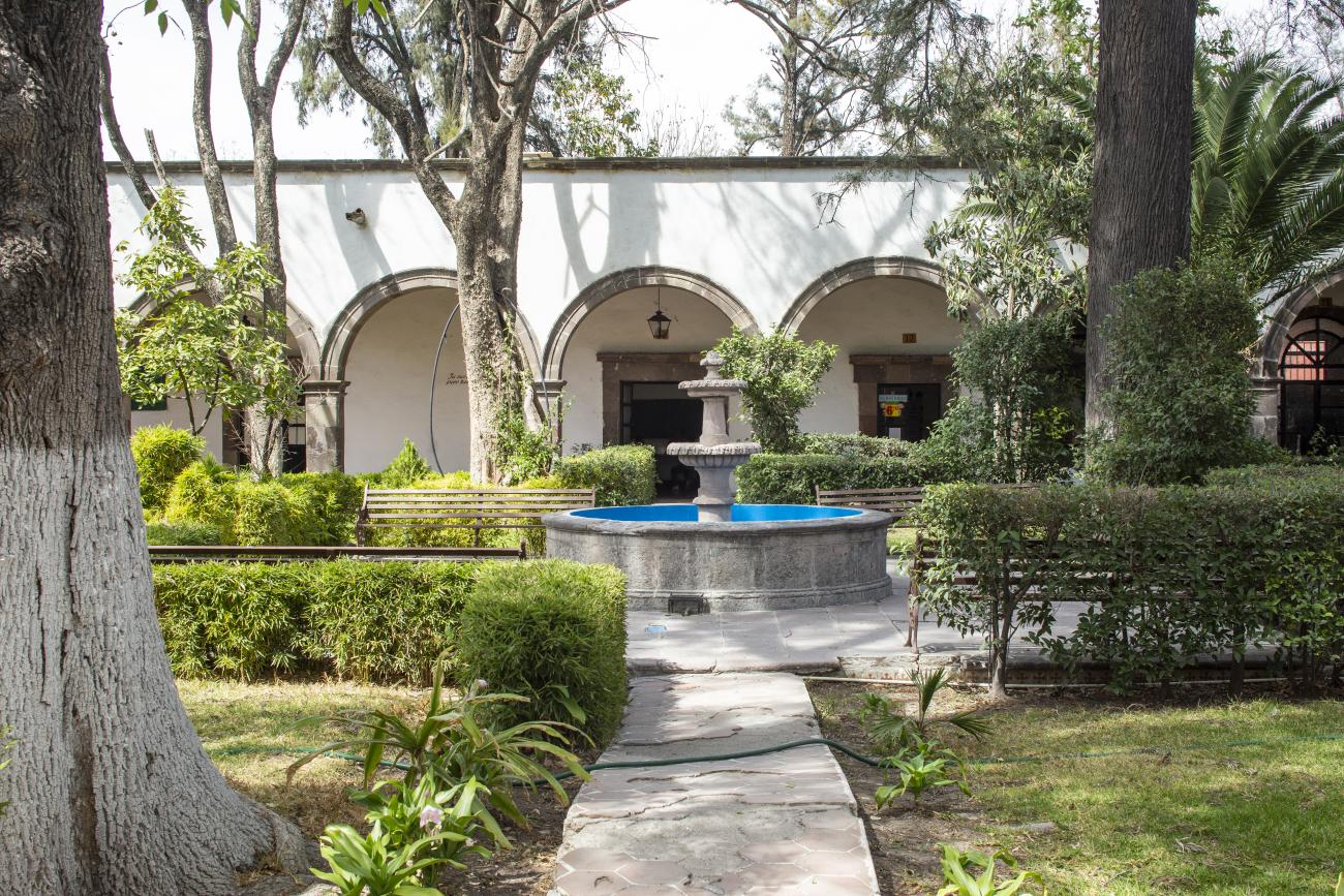
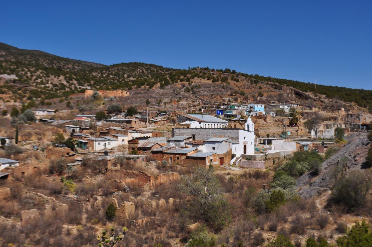
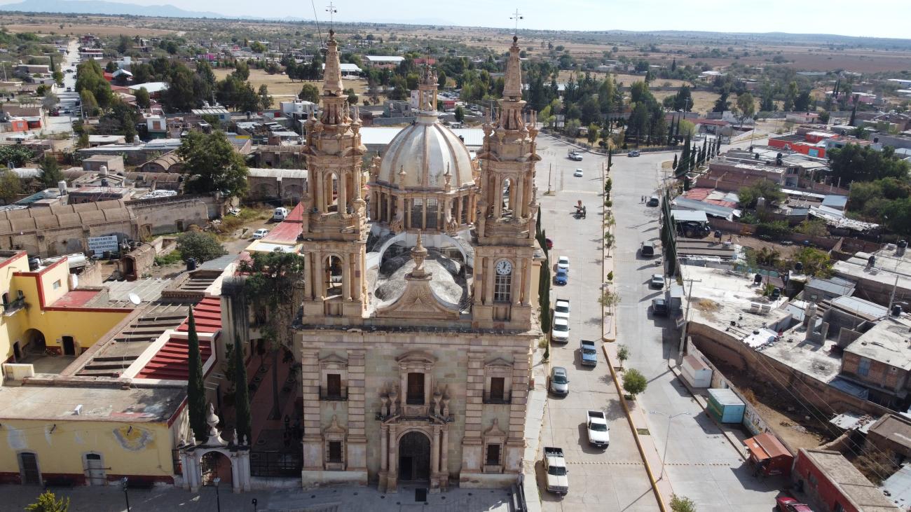
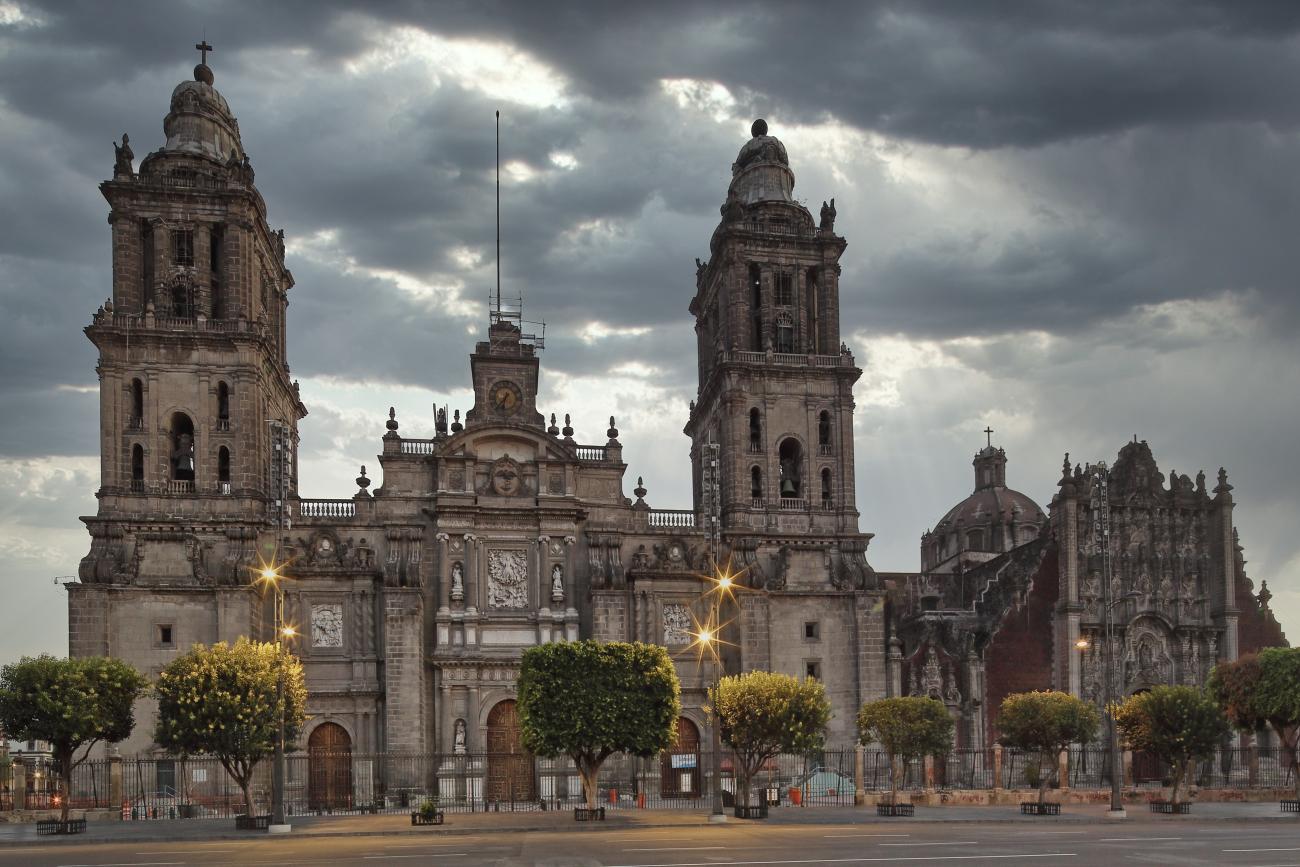
The historic center of Lagos de Moreno is located northeast of Guadalajara, the capital of the state of Jalisco. During the second half of the 16th century, this area was turned into a war zone by the Chichimeca people.
Centro histórico de Lagos de Moreno y puente


The historic center of Lagos de Moreno is located northeast of Guadalajara, the capital of the state of Jalisco. During the second half of the 16th century, this area was turned into a war zone by the Chichimeca people. In response, as part of strategies for pacification and protection of the Spanish settlers, Viceroy Luis Velasco ordered the construction of forts, garrisons, or bulwarks at strategic points along the Camino Real de Minas. These fortifications housed contingents of soldiers who would patrol the road and accompany travelers to defend them from Chichimeca attacks.
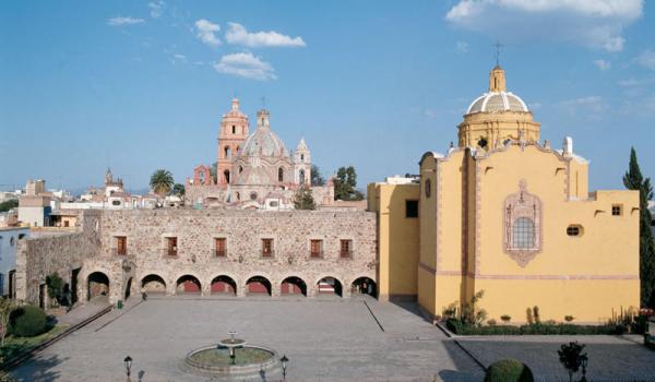
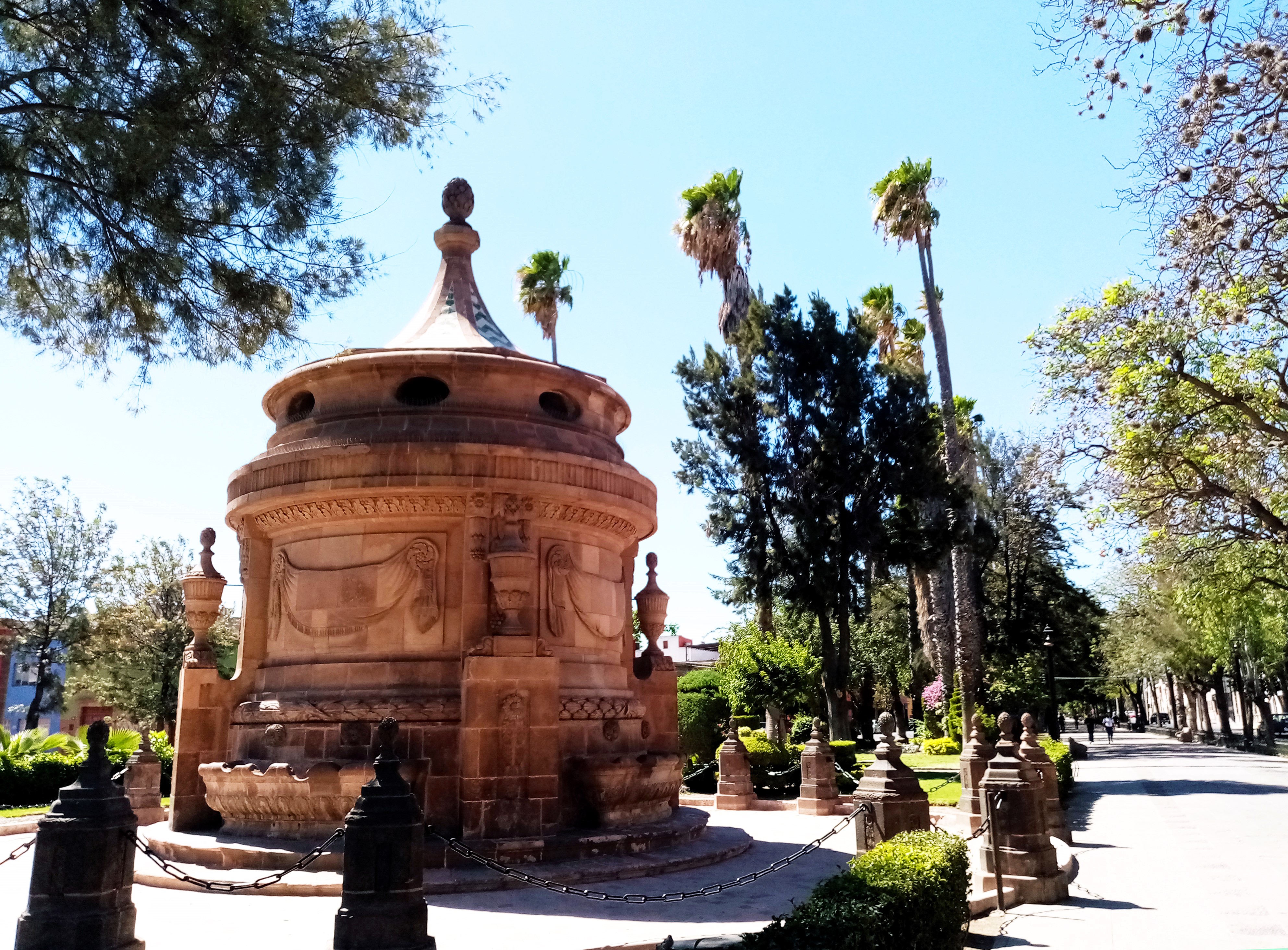
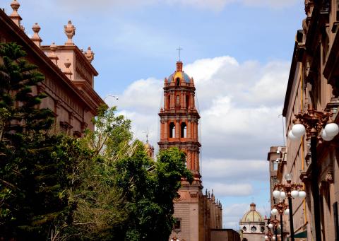
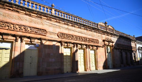
Centro histórico de San Luis Potosí
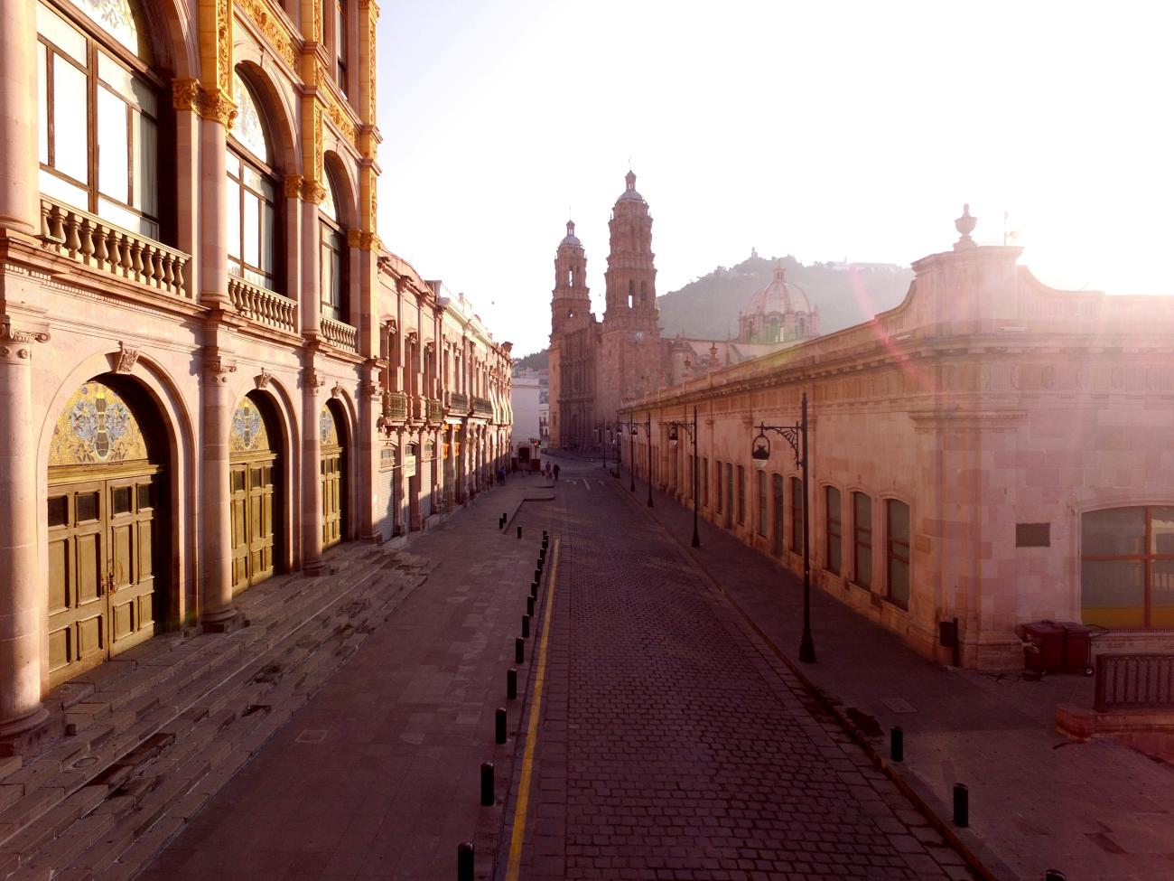
In the second half of the 16th century, the territory that currently comprises the state of San Luis Potosí was known as the "Gran Tunal," an extensive uninhabited area located between the present-day states of Querétaro, Saltillo, and Zacatecas.
Centro histórico de San Luis Potosí
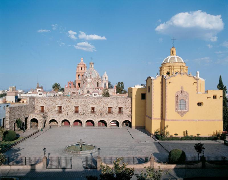

In the second half of the 16th century, the territory that currently comprises the state of San Luis Potosí was known as the "Gran Tunal," an extensive uninhabited area located between the present-day states of Querétaro, Saltillo, and Zacatecas.
Conjunto arquitectónico del pueblo de Chalchihuites
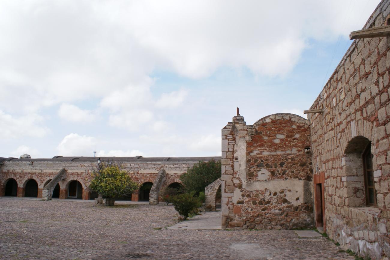
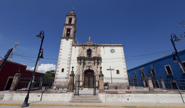
The mining settlement of San Pedro de los Chalchihuites was founded on October 15, 1556, by Juan de Tolosa and Martín Pérez de Uranzu.
Conjunto arquitectónico del pueblo de Chalchihuites
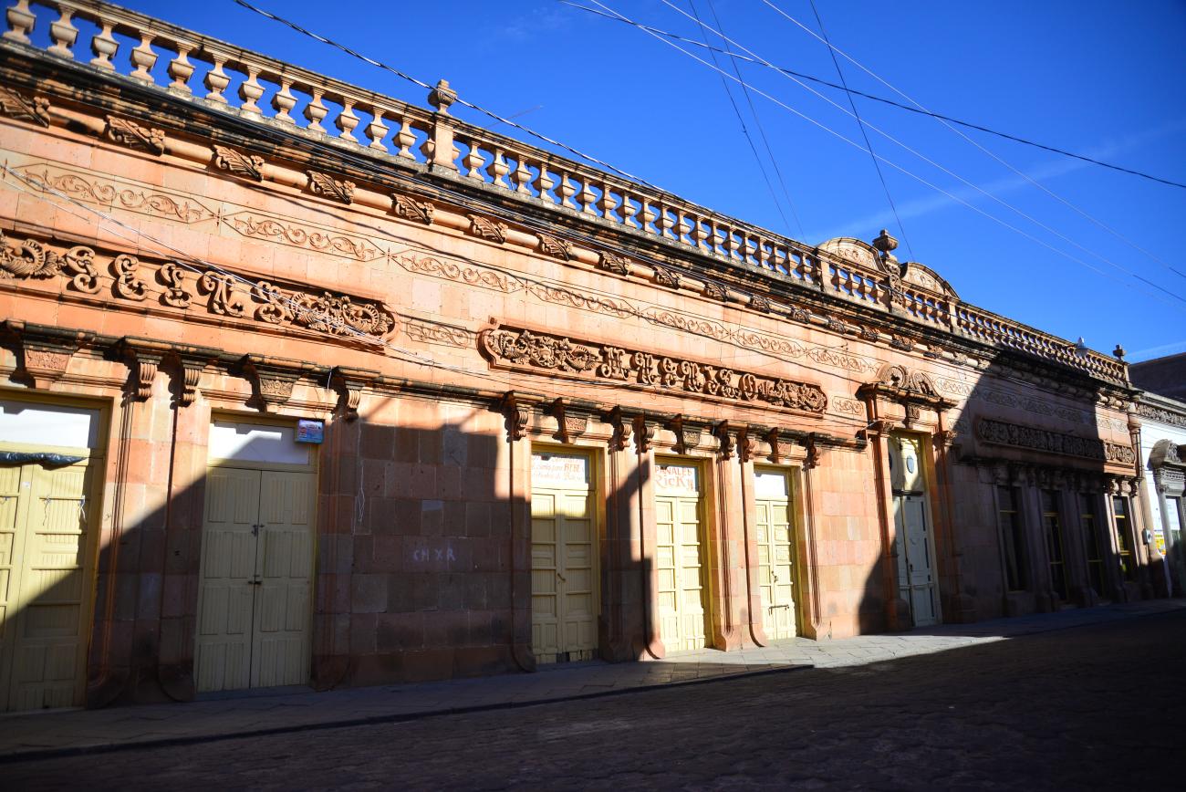

The mining settlement of San Pedro de los Chalchihuites was founded on October 15, 1556, by Juan de Tolosa and Martín Pérez de Uranzu. Its prosperity was partly due to nearby hills with springs that provided water for supply and the irrigation of orchards through an acequia system.
Conjunto arquitectónico del pueblo de Mapimí
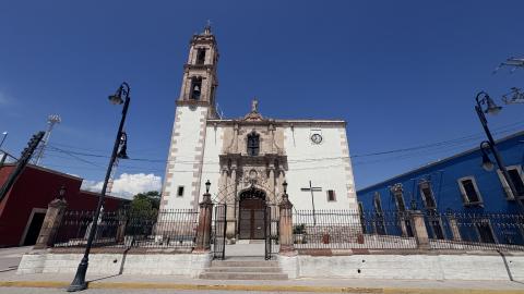
In the late 16th century, Franciscan missionaries from Cuencamé entered the Mapimí region with the objective of carrying out their evangelizing work, founding several short-lived towns for this purpose.
Conjunto arquitectónico del pueblo de Mapimí
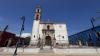
In the late 16th century, Franciscan missionaries from Cuencamé entered the Mapimí region with the objective of carrying out their evangelizing work, founding several short-lived towns for this purpose.
Conjunto arquitectónico del pueblo de Nazas
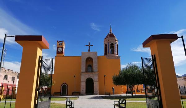
The significance of the ancient mission of the Cinco Señores del Río Nazas, now Nazas, on the itinerary of the Camino Real de Tierra Adentro is due to its strategic location.
Conjunto arquitectónico del pueblo de Nazas
The significance of the ancient mission of the Cinco Señores del Río Nazas, now Nazas, on the itinerary of the Camino Real de Tierra Adentro is due to its strategic location.
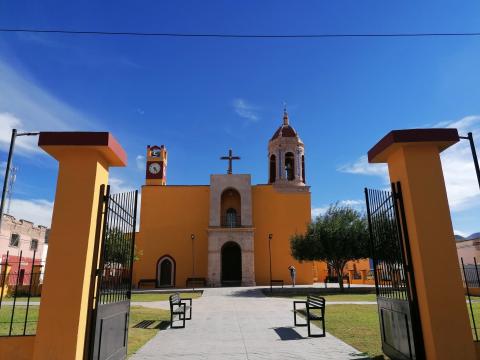
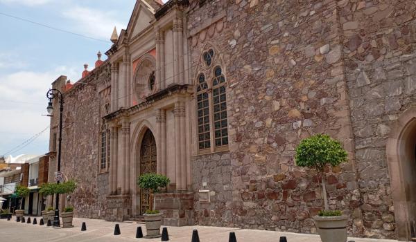
Conjunto histórico de la ciudad de Aguascalientes
On October 22, 1575, the town of Villa de Nuestra Señora de la Asunción de las Aguas Calientes was officially founded as a presidio, now known as Aguascalientes, the capital of the state of the same name.
Conjunto histórico de la ciudad de Aguascalientes
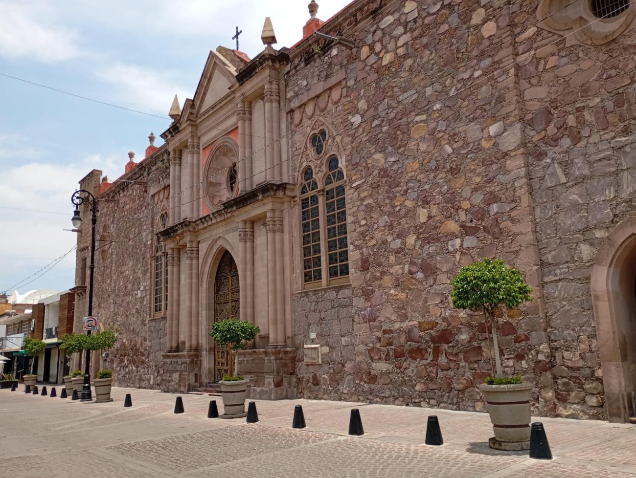
On October 22, 1575, the town of Villa de Nuestra Señora de la Asunción de las Aguas Calientes was officially founded as a presidio, now known as Aguascalientes, the capital of the state of the same name. Its name derived from the abundant thermal springs in the surrounding area.
Conjunto histórico de la ciudad de Sombrerete
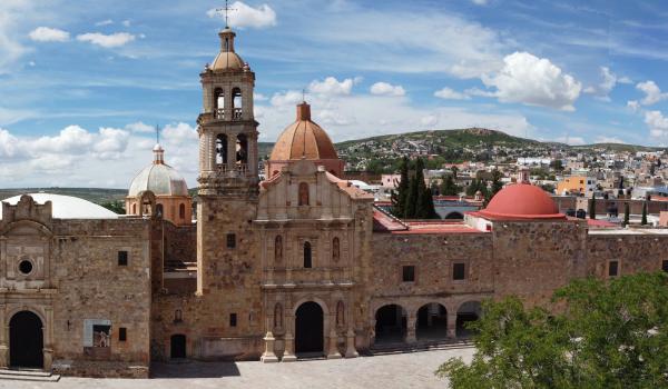
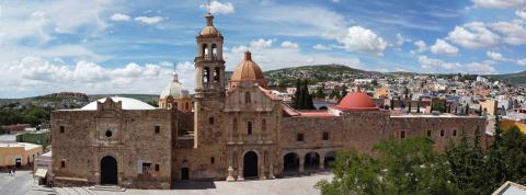
In 1555, Juan de Tolosa, along with a group of Spanish adventurers, Franciscan friars, and indigenous people from central Mexico, founded the Real y Minas de Sombrerete in Zacatecas, a region that was previously inhabited by pre-Hispanic groups belonging to the Chalchihuites culture.
Conjunto histórico de la ciudad de Sombrerete

In 1555, Juan de Tolosa, along with a group of Spanish adventurers, Franciscan friars, and indigenous people from central Mexico, founded the Real y Minas de Sombrerete in Zacatecas, a region that was previously inhabited by pre-Hispanic groups belonging to the Chalchihuites culture.
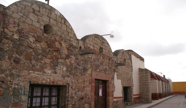
Conjunto histórico del Pueblo de Ojuelos
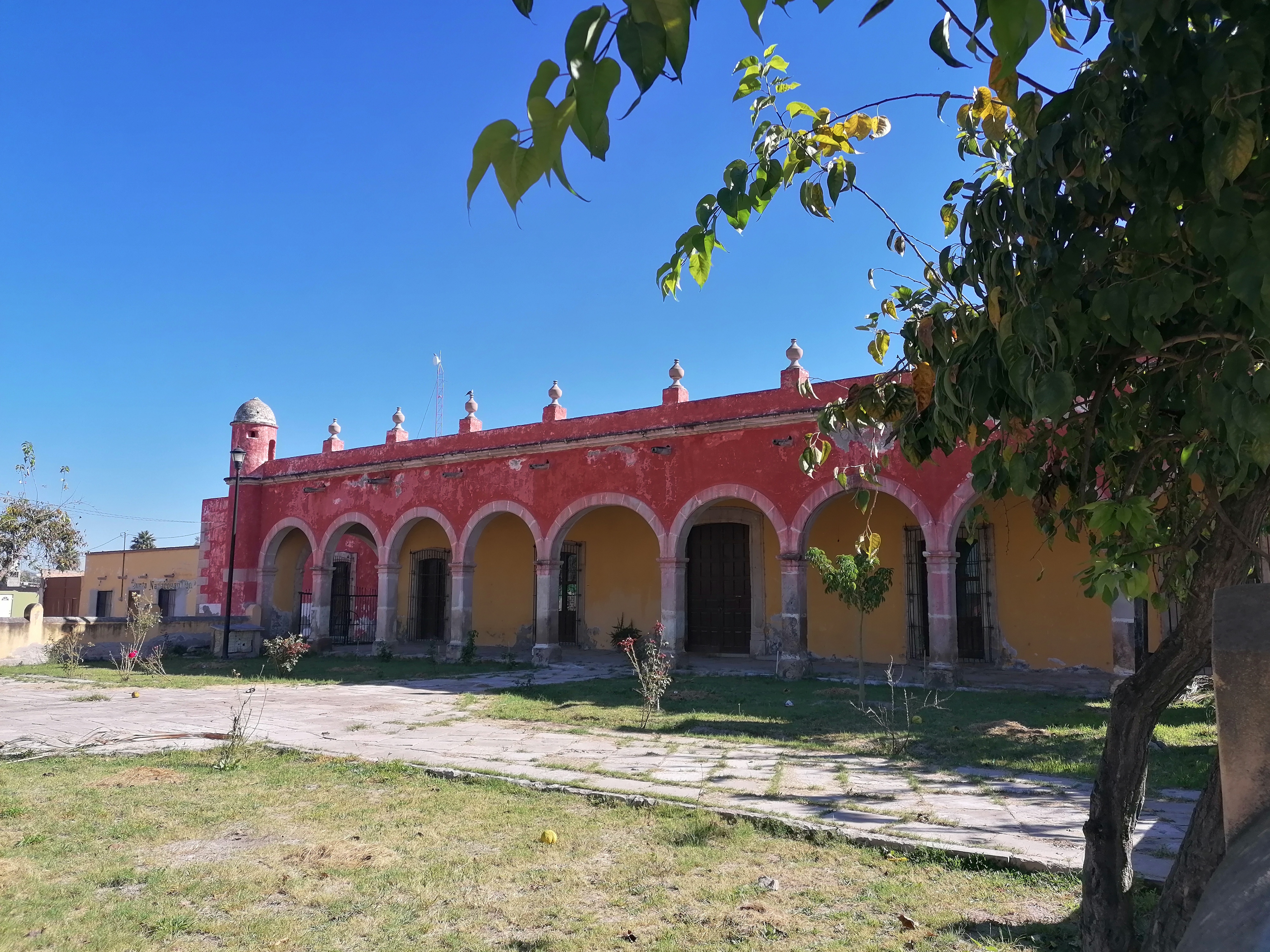
During the second half of the 16th century, indigenous groups persisted in resisting the Spanish presence and constantly attacked the muleteers and the goods they transported along the Camino Real de Tierra Adentro.
Conjunto histórico del Pueblo de Ojuelos
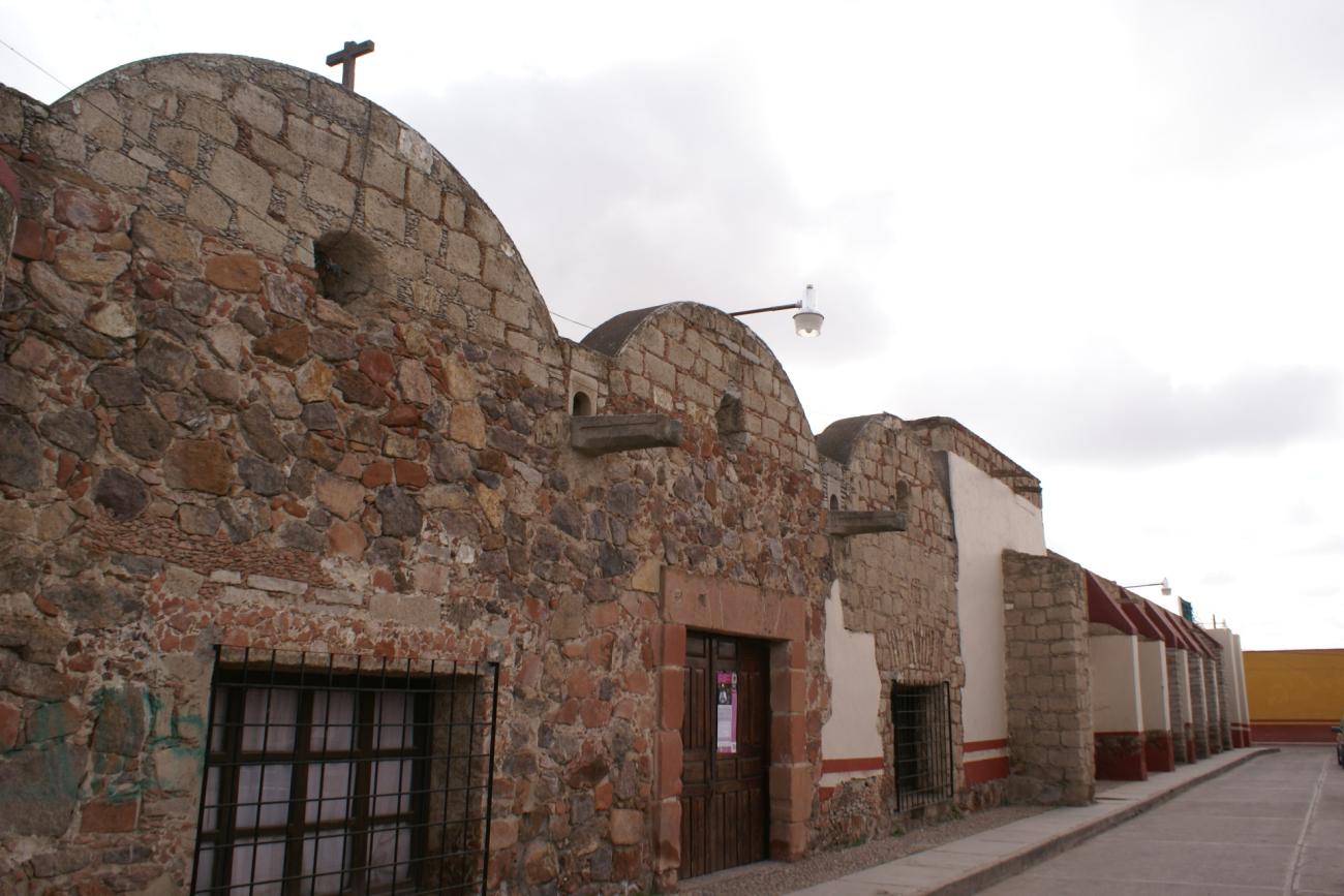
During the second half of the 16th century, indigenous groups persisted in resisting the Spanish presence and constantly attacked the muleteers and the goods they transported along the Camino Real de Tierra Adentro. This traffic increased following the mining discoveries in northern New Spain, creating a need to improve the transportation of goods, supplies, and metals through hostile territories. The security measures implemented included the establishment of forts or presidios. These forts represented elements of defense, security, and pacification of the rebellious groups and later served to populate territories.
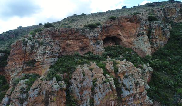
Cueva de Ávalos
Its location on the high part of the Sierra de Tlacotes, in the Cuisilique Valley, municipality of Ojocaliente, in the state of Zacatecas, makes Cueva de Ávalos a natural lookout point from which there is a panoramic view of the towns of Ojocaliente, El Refugio, and Palmillas, a r
Cueva de Ávalos
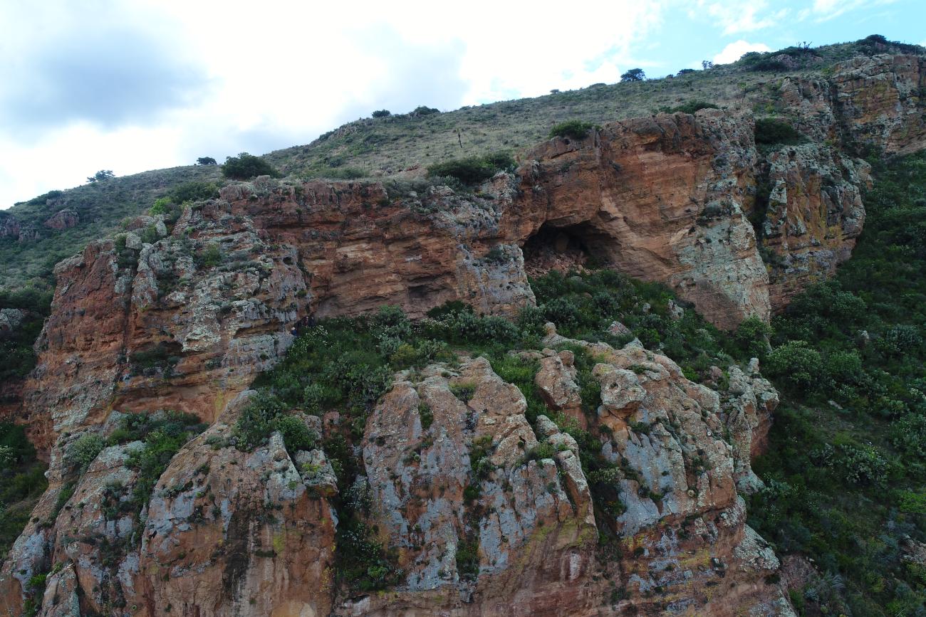
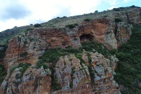
Its location on the high part of the Sierra de Tlacotes, in the Cuisilique Valley, municipality of Ojocaliente, in the state of Zacatecas, makes Cueva de Ávalos a natural lookout point from which there is a panoramic view of the towns of Ojocaliente, El Refugio, and Palmillas, a region through which the Camino Real de Tierra Adentro extended.
Cueva de Las Mulas de Molino
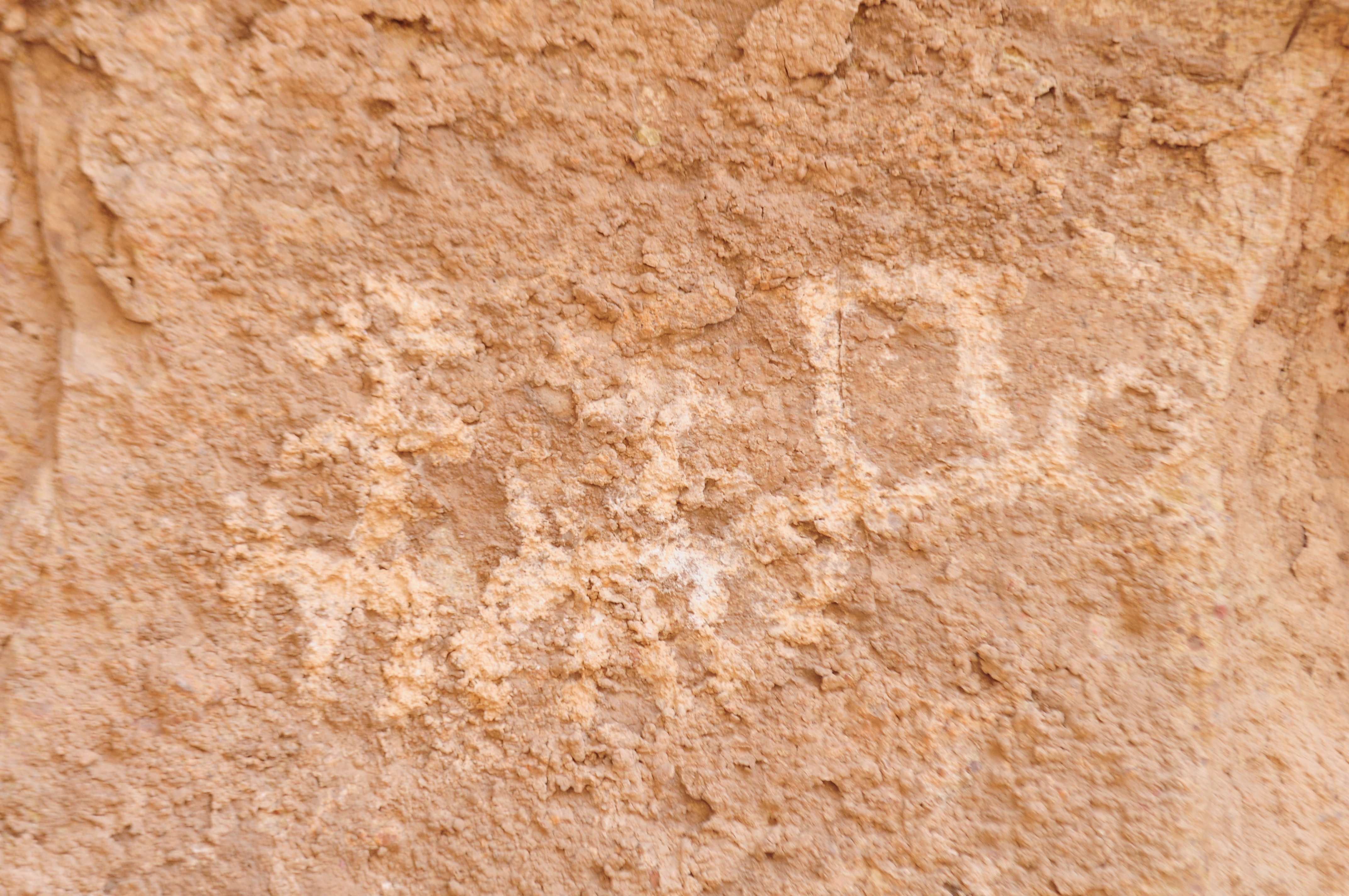
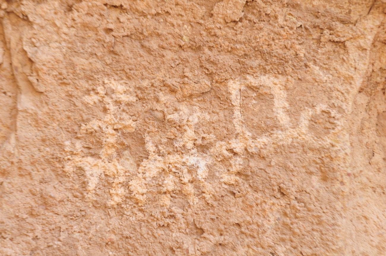
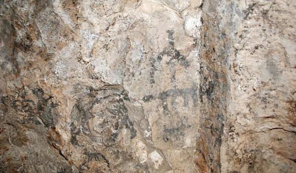
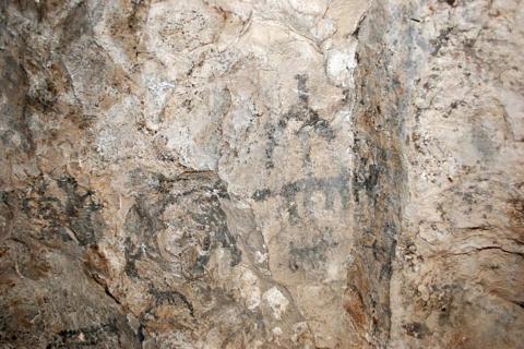
The interior of the Cueva de las Mulas houses rock art associated with the presence of mules and other animals brought by the Spaniards conquistadors to the region during the 14th and 17th centuries.
Cueva de Las Mulas de Molino
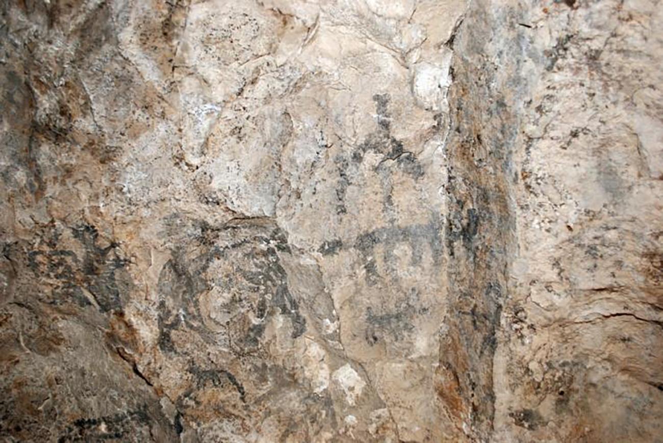
The interior of the Cueva de las Mulas houses rock art associated with the presence of mules and other animals brought by the Spaniards conquistadors to the region during the 14th and 17th centuries. It is located in the Molino Canyon, in the Guatimapé Valley, within the municipality of Nuevo Ideal, in the state of Durango.

Mina de Ojuela
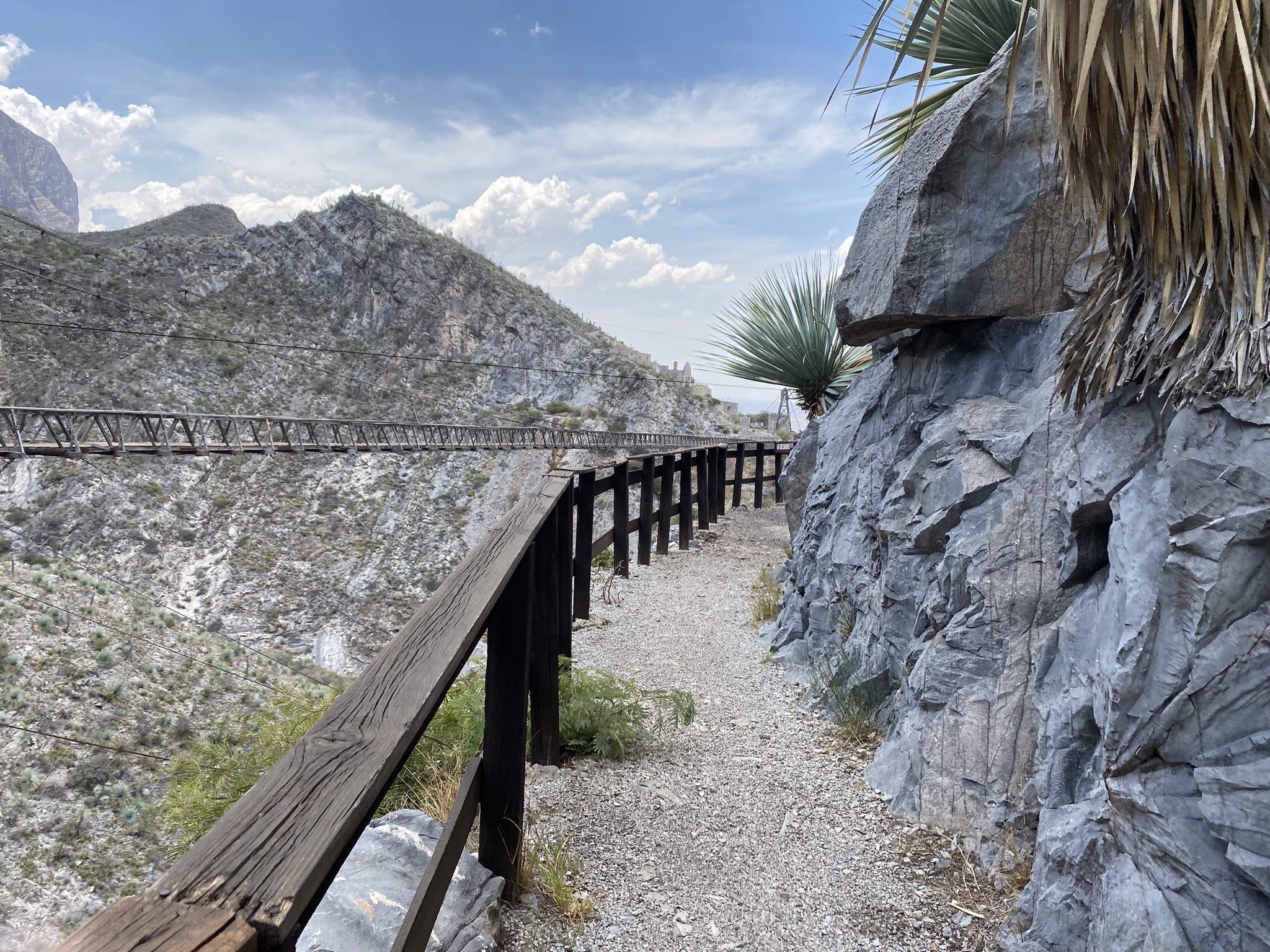
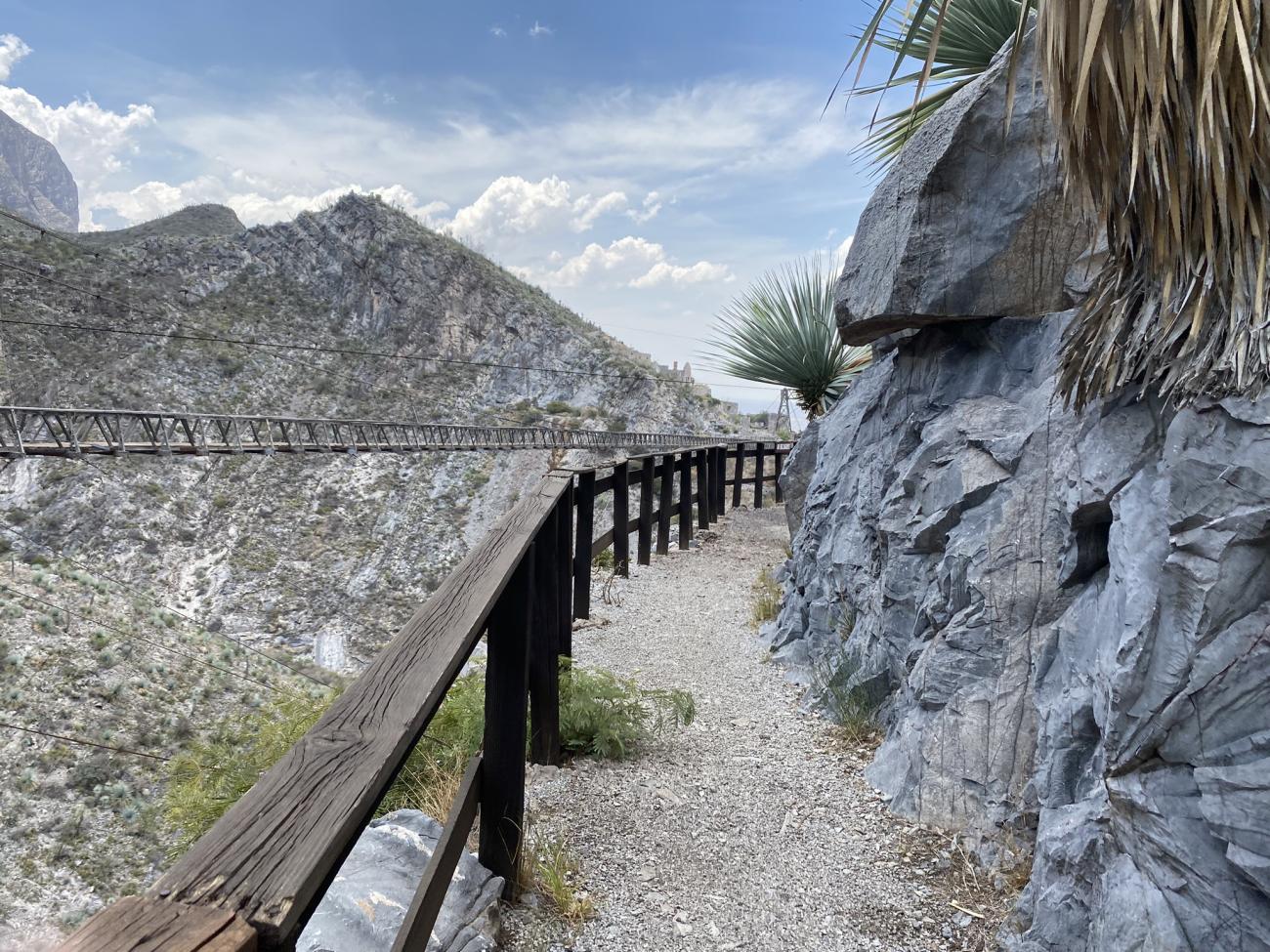
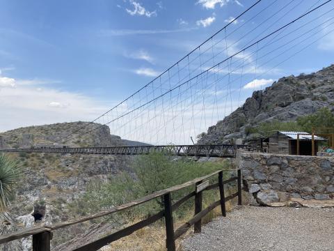
The Ojuela mine was founded in 1598 and is currently located in the municipality of Mapimí. It flourished during the 18th century and was part of a system of mines and real estates that was crucial in the route of the Royal Inland Road.
Mina de Ojuela
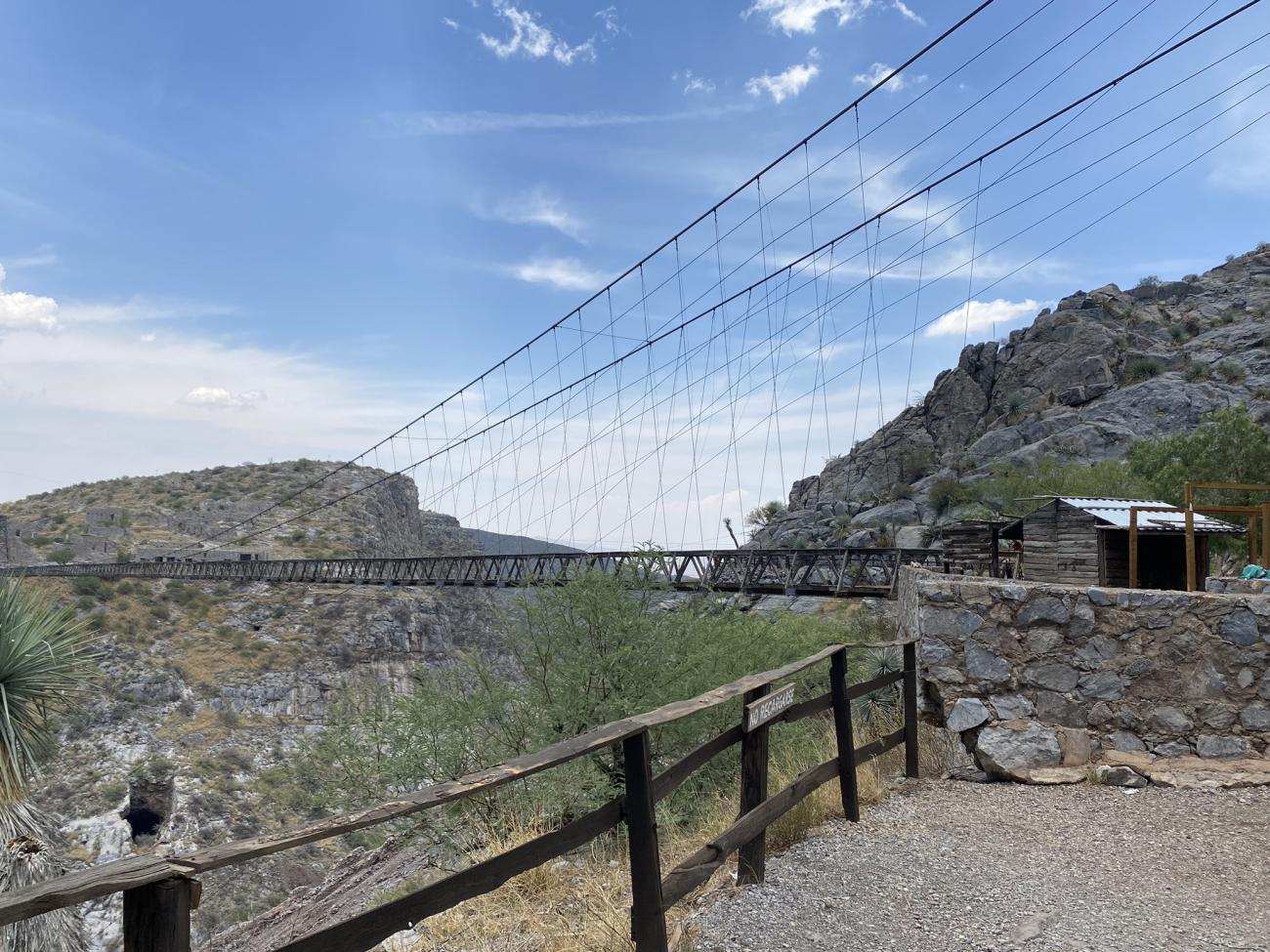
The Ojuela mine was founded in 1598 and is currently located in the municipality of Mapimí. It flourished during the 18th century and was part of a system of mines and real estates that was crucial in the route of the Royal Inland Road.
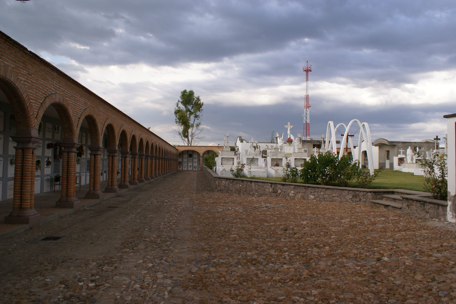
Panteón en Encarnación de Díaz
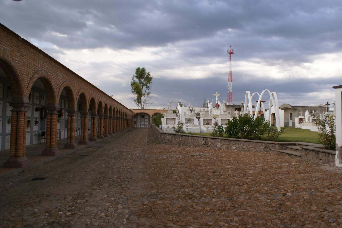
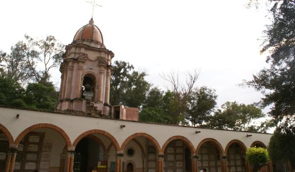
The plains of the Teocaltiche Valley, an area of Chichimeca towns, were an important crossing point for communication routes between Zacatecas and Mexico City and Guadalajara. This facilitated the emergence of a successful agricultural and livestock economy.
Panteón en Encarnación de Díaz
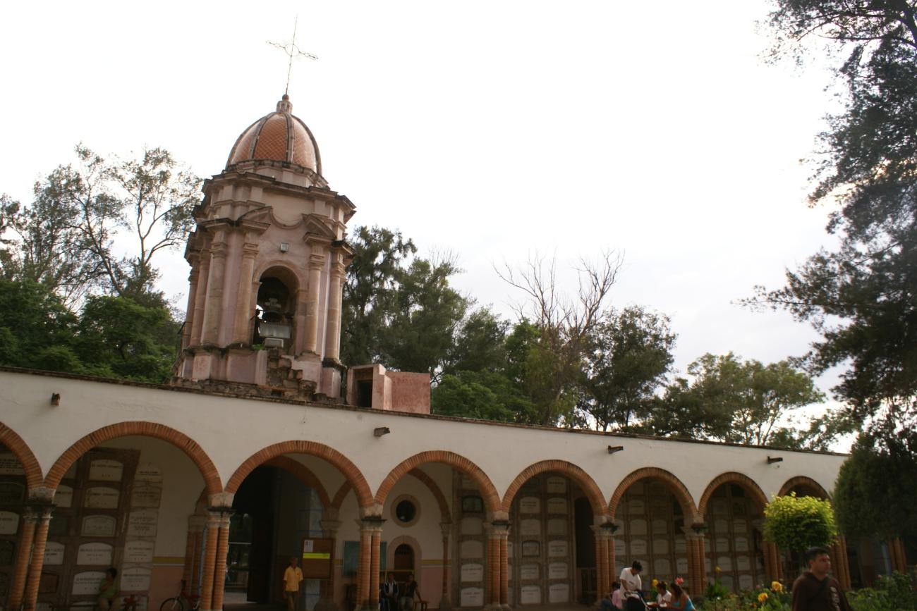

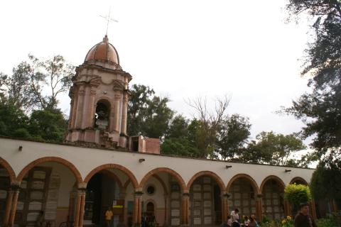
The plains of the Teocaltiche Valley, an area of Chichimeca towns, were an important crossing point for communication routes between Zacatecas and Mexico City and Guadalajara. This facilitated the emergence of a successful agricultural and livestock economy. The Altos de Jalisco soon became, along with Aguascalientes, suppliers to the mining settlements in the north, leading to the founding in 1760 of the town of Nuestra Señora de la Encarnación de los Macías, at the former post of El Sauz.