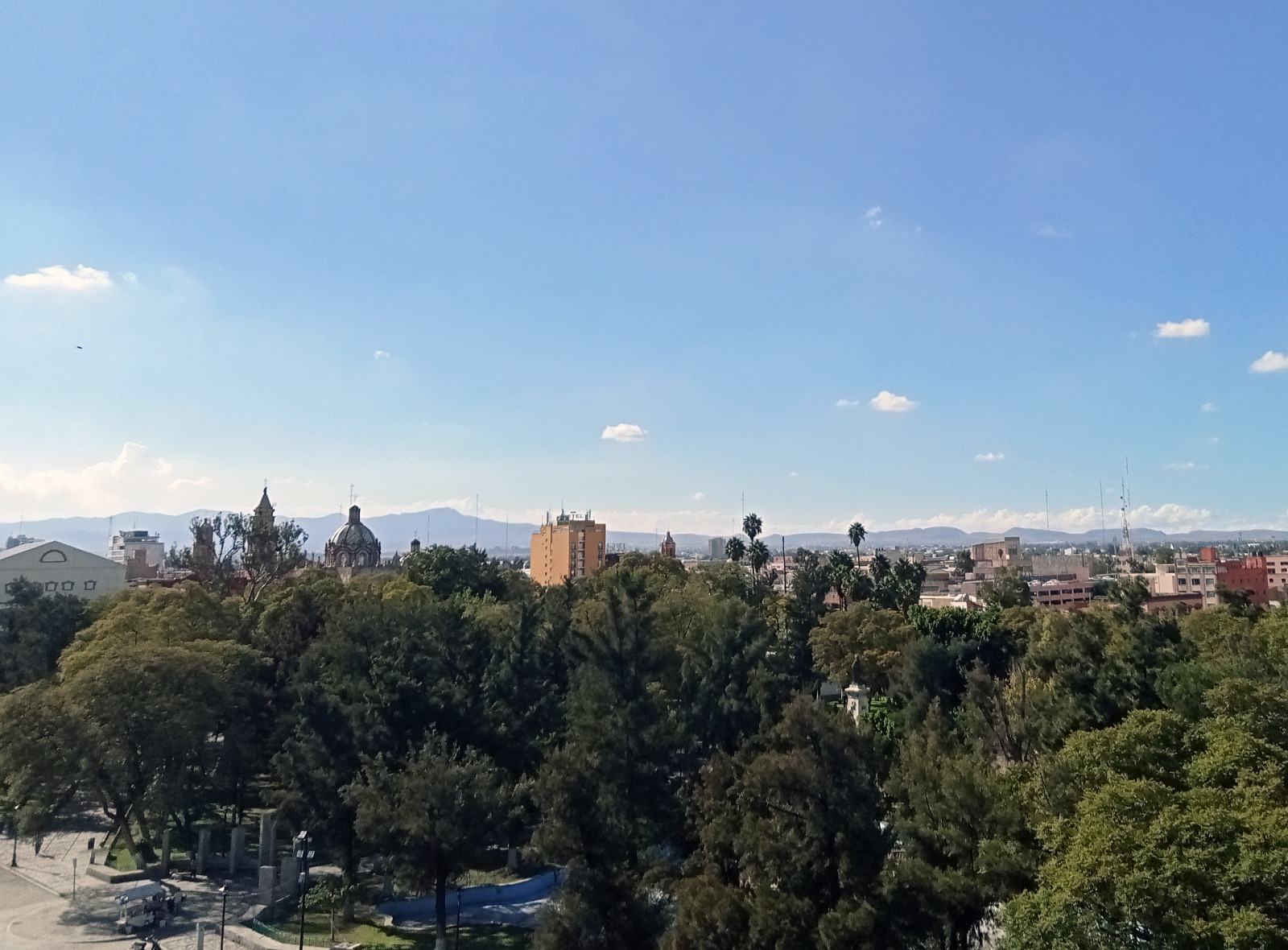


Centro histórico de San Luis Potosí
n the second half of the 16th century, the territory that currently comprises the state of San Luis Potosí was known as the "Gran Tunal," an extensive uninhabited area located between the present-day states of Querétaro, Saltillo, and Zacatecas.
The area was inhabited by the bellicose indigenous group known as the Guachichiles, who, along with other groups collectively called Chichimecas, resisted Spanish dominance for four decades. This resistance posed challenges to the Spanish advance northward.
The growth and prosperity of Zacatecas created the need to settle the territories between that city and Mexico City. A pacification policy was chosen, in which the Franciscan friars played a leading role. They offered food and clothing to all indigenous people who agreed to settle in shelters or evangelization colonies. Through this agreement, the first outposts or presidios were established to distribute accommodations for the indigenous people who joined. Additionally, the first agricultural plantings were carried out with the purpose of teaching the Guachichiles farming techniques.
The discovery of veins and large quantities of gold in the mines of this area attracted a large number of people, who soon established a camp on the San Pedro hill. By that time, the settlement was called San Luis de Mexquitic, a place of residence and mining ingenuity for the establishment of the Spanish.
Following its growth at this site, San Luis Potosí was founded in 1592, becoming one of the most important mining centers in the Viceroyalty of New Spain. The rapid development of the settlement led King Philip II to grant it city status on August 17, 1658.
The need to transport the extracted minerals and facilitate commercial exchange required the establishment of suitable roads. These roads were necessary to connect the Potosino highlands with the Bajío and northern New Spain, making San Luis an important point on the route of the Royal Inland Road.
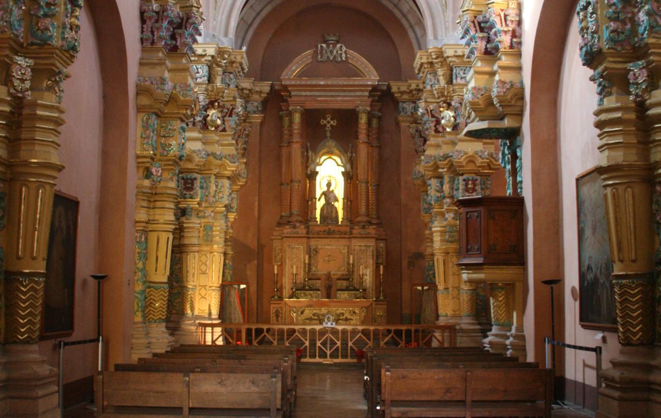
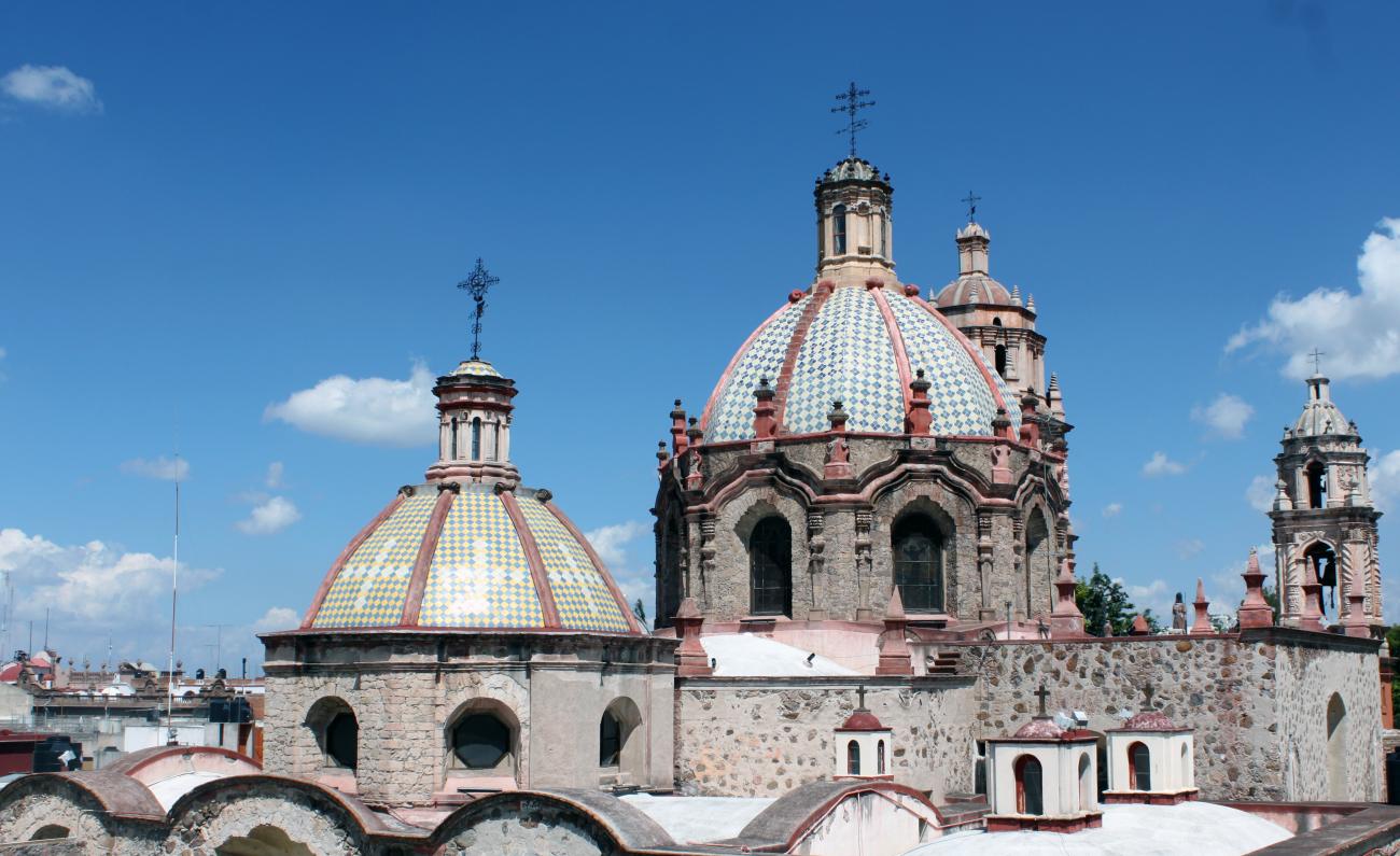
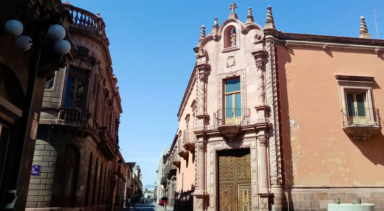
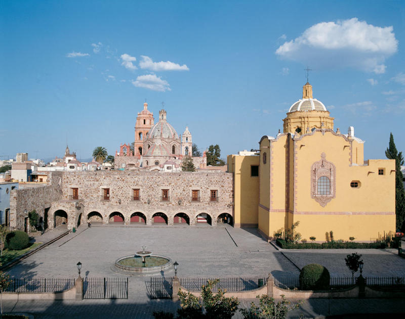
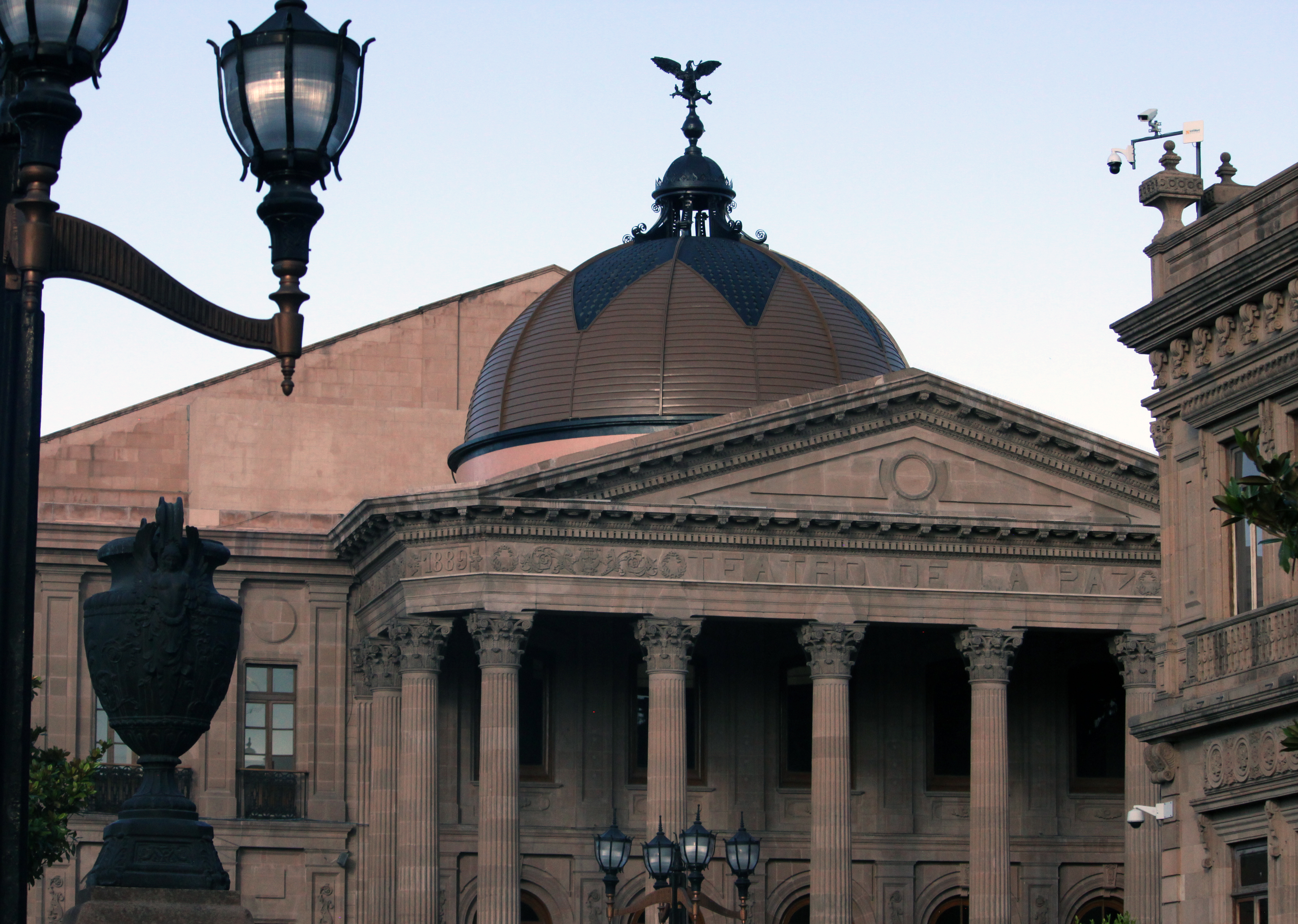
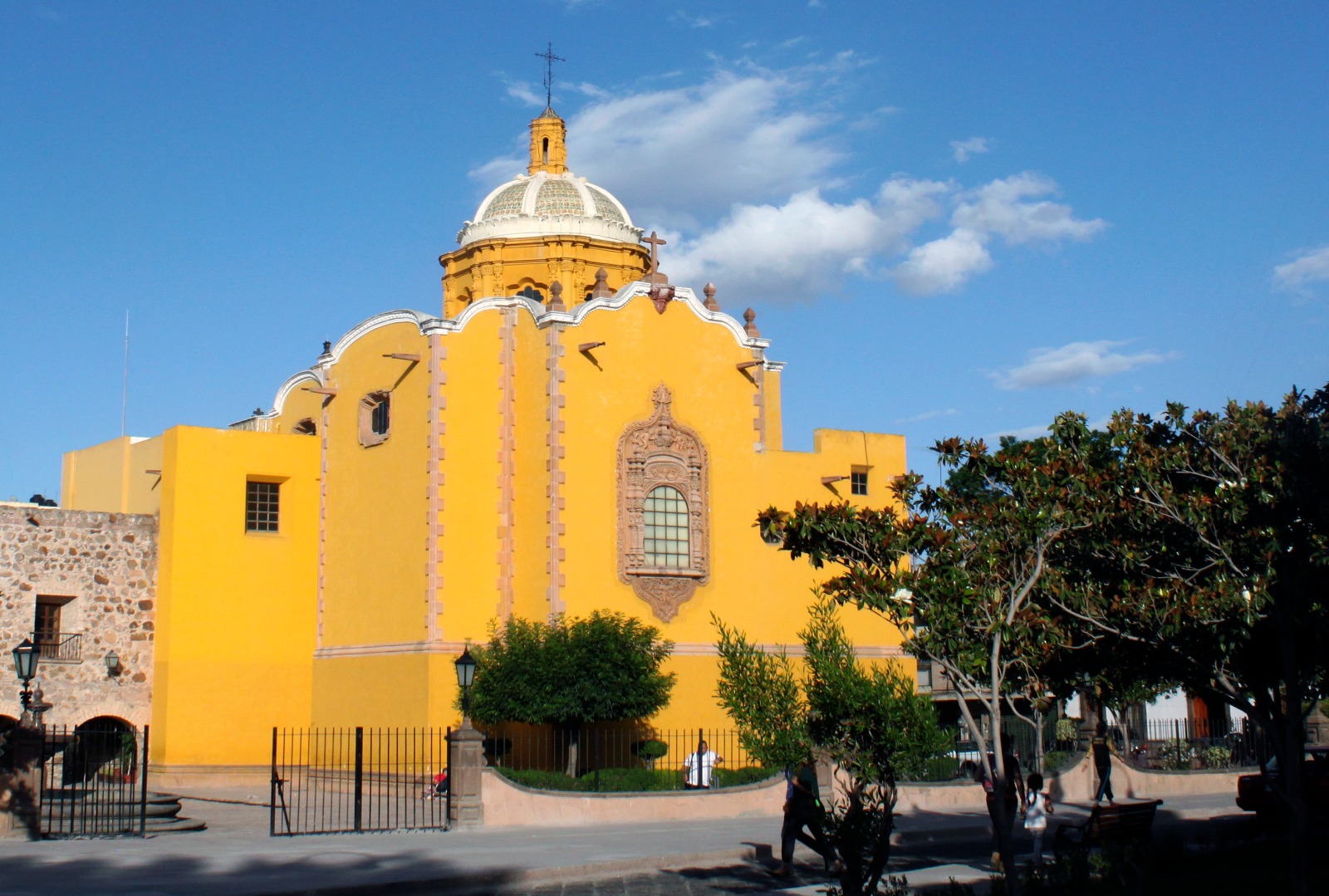
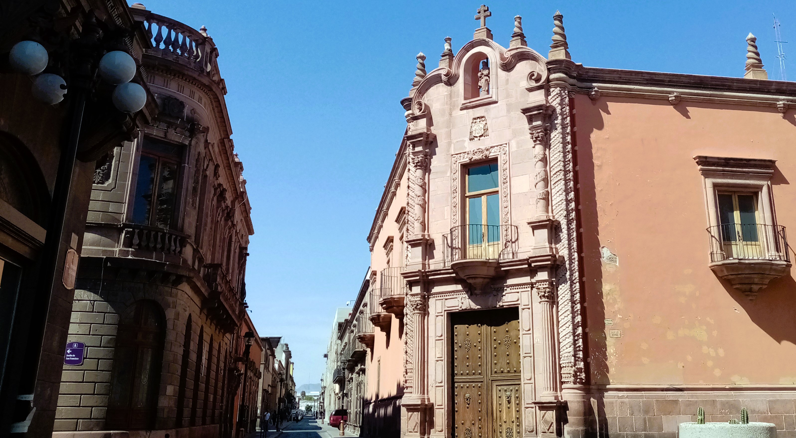
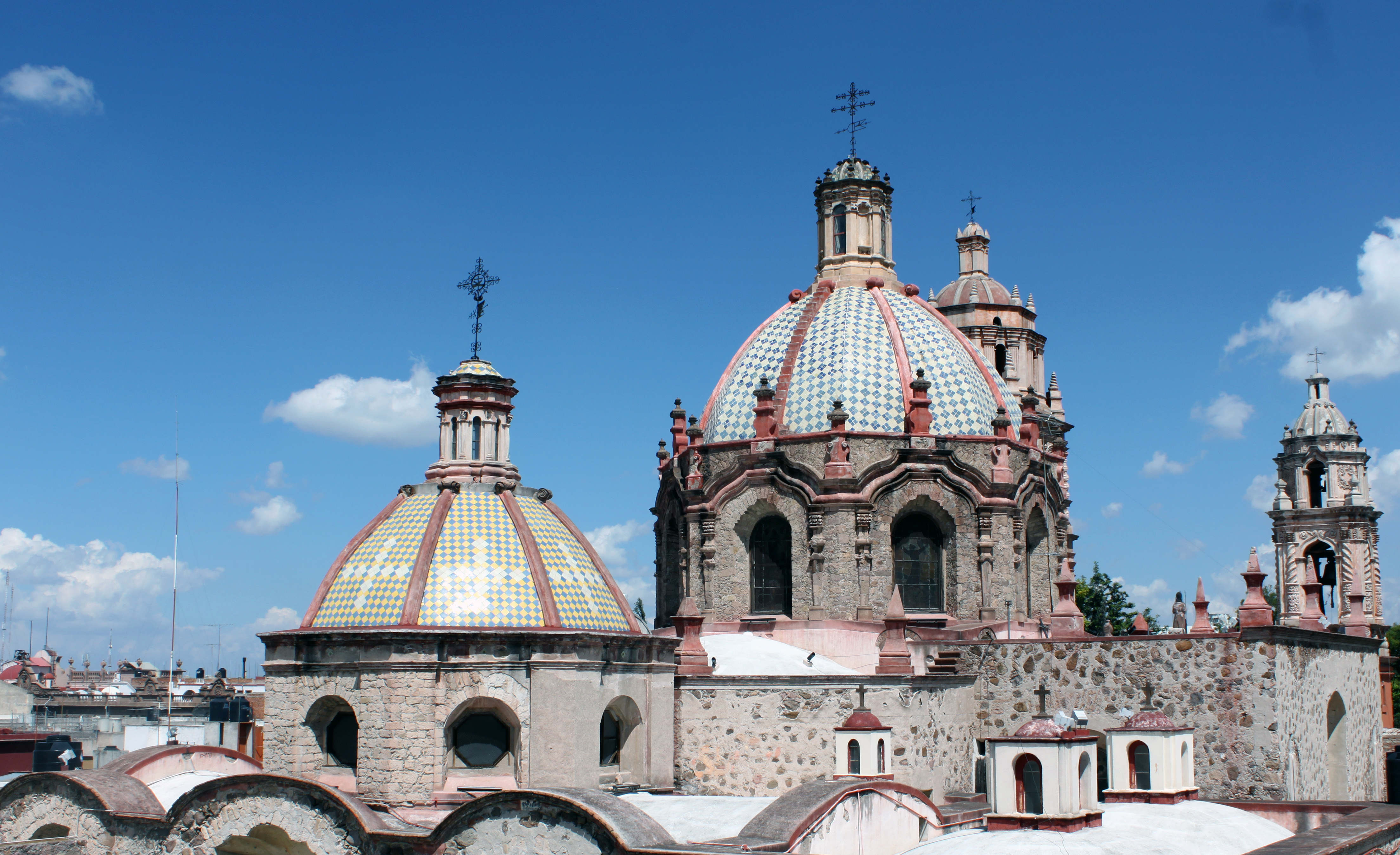
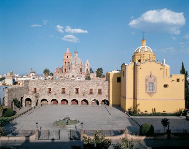
The economic prosperity of San Luis Potosí was also reflected in its architectural constructions, both civil and religious. In the last decade of the 19th century, the city had 21 Catholic temples, one of the most important being the Cathedral. The Cathedral features a two-story Baroque façade designed like a screen and adorned with Solomonic columns. The oldest tower has three stories and is richly decorated. This building was declared a national monument on November 16, 1935.
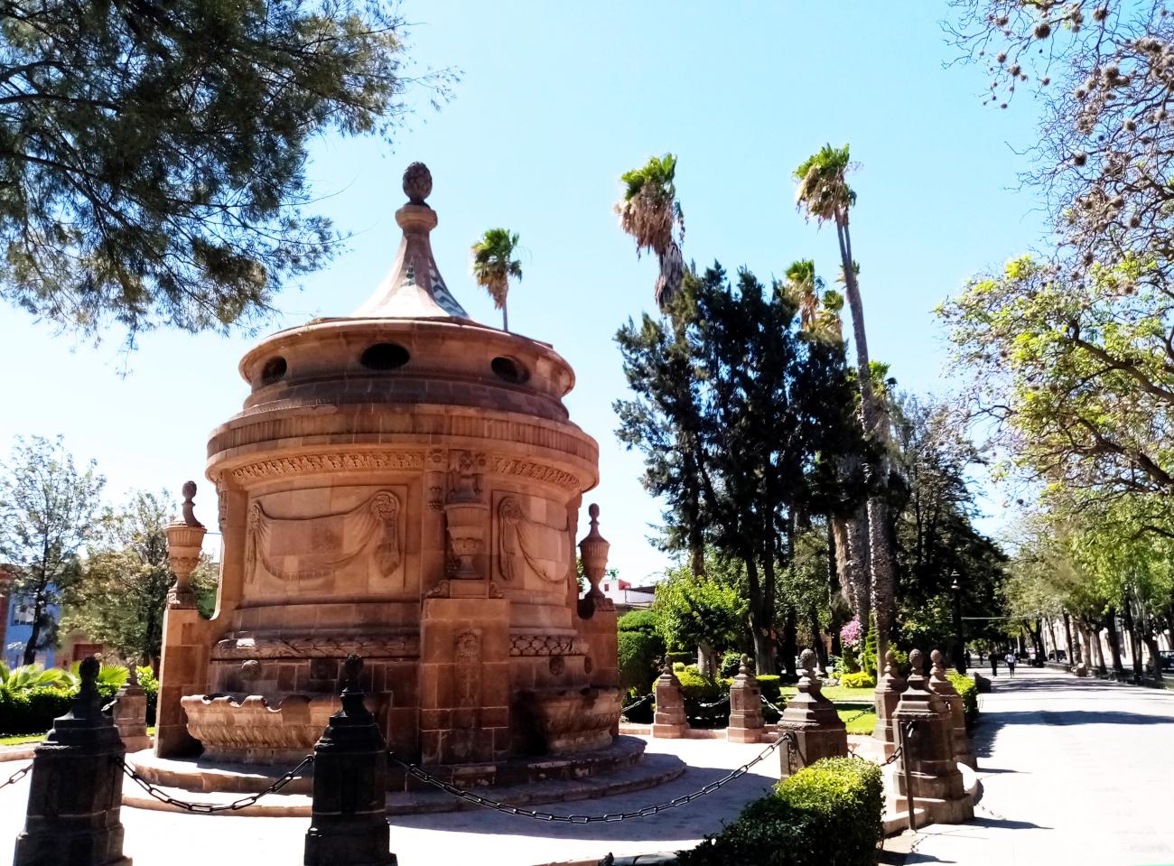
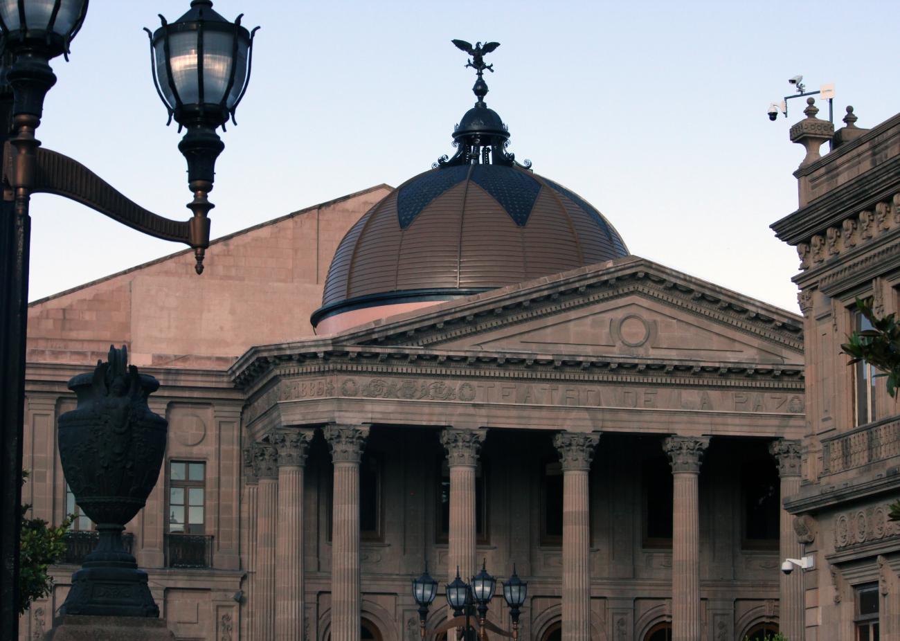
The historic center of San Luis Potosí also houses important civil buildings such as the Government Palace, the City Hall, the Scientific Institute, the Conciliar Seminary, the Mint, the Granary, the Market Square, Casillas, and the Alarcón Theater.
The independence movement caused a decline in mining production in San Luis Potosí, which in turn led to the deterioration of the royal roads. These roads were further impacted by the arrival of the railroad, as officials and travelers shifted their focus to this new mode of transportation, leading to the abandonment of the old overland routes.