Skip to main content
Fut + Cultura
Fut + Cultura
Menu
Idioma
Español
English
Menu principal
Museums
Archaeological sites
Archaeological sites sub-navigation
Archaeological windows
Historical Monument Areas
World cultural heritage
World cultural heritage sub-navigation
Intangible World Heritage
Routes or Paths
Rock art manifestations
Cultural regions
Pagination
Previous page
6
Descargar Imagen
Route element
Lugares relacionados
El Nacimiento
Route element
Encarnación de Guzmán
Route element
Encinas
Route element
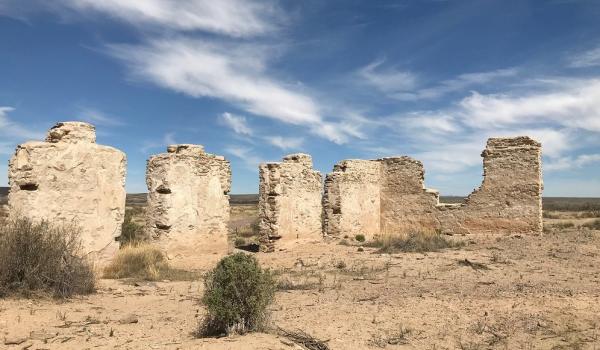
Fort Craig
Route element
Hermanas
Route element
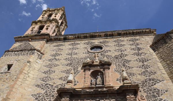
Hidalgo del Parral
Historical Monuments Zone
,
Route element
Hidalgo del Parral
Historical Monuments Zone
,
Route element
Huacuri Quitenie
Route element
Huahuatsari
Route element
Huaxa Manaka (Cerro Gordo)
Route element
Huiricuta: Maxa Yaritsié
Route element
Huiricuta: Mucuyahue
Route element
Pagination
First page
Previous page
…
Page
3
Page
4
Page
5
Page
6
Page
7
Page
8
Page
9
Page
10
Page
11
…
Next page
Last page
Route element