Skip to main content
Fut + Cultura
Fut + Cultura
Menu
Idioma
Español
English
Menu principal
Museums
Archaeological sites
Archaeological sites sub-navigation
Archaeological windows
Historical Monument Areas
World cultural heritage
World cultural heritage sub-navigation
Intangible World Heritage
Routes or Paths
Rock art manifestations
Cultural regions
Pagination
Previous page
7
Descargar Imagen
Route element
Lugares relacionados
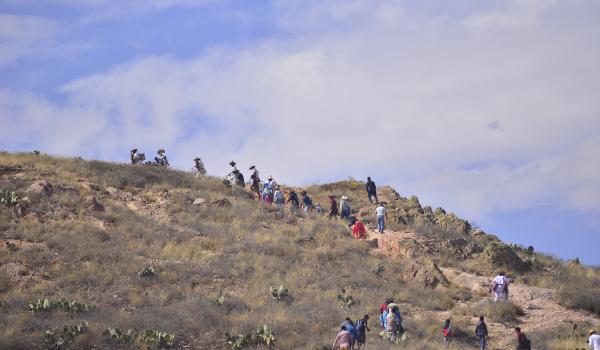
Huiricuta: Raunax
Route element
La Babia
Route element
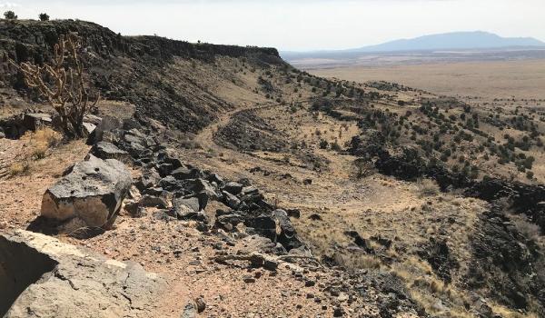
La Bajada Mesa
Route element
La Mota del Cura
Route element
Las Adjuntas
Route element
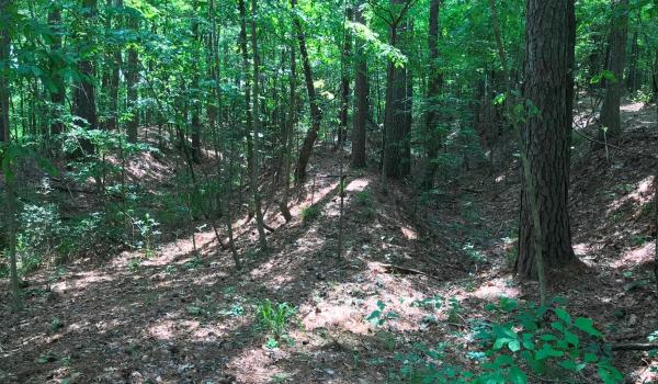
Lobanillo Swales
Route element
Macuipa
Route element
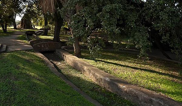
Manantiales de San Pedro
Route element
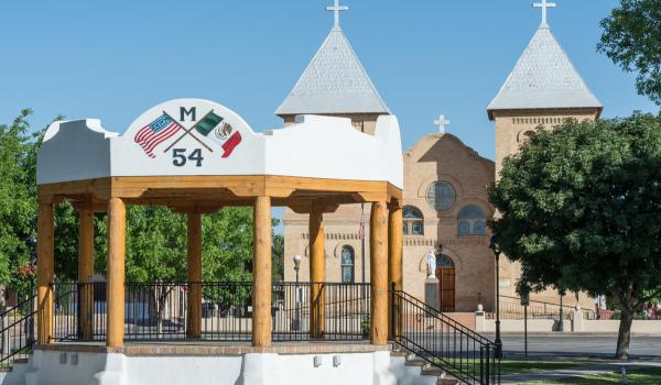
Mesilla Plaza
Route element
Mesillas
Route element
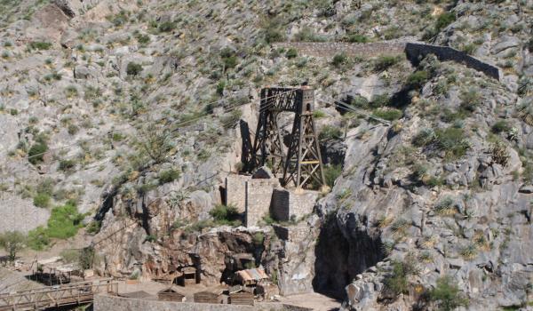
Mina de Ojuela
Route element
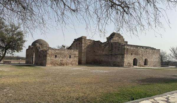
Misión de San Bernardo
Route element
Pagination
First page
Previous page
…
Page
4
Page
5
Page
6
Page
7
Page
8
Page
9
Page
10
Page
11
Page
12
…
Next page
Last page
Route element