


La Bajada Mesa
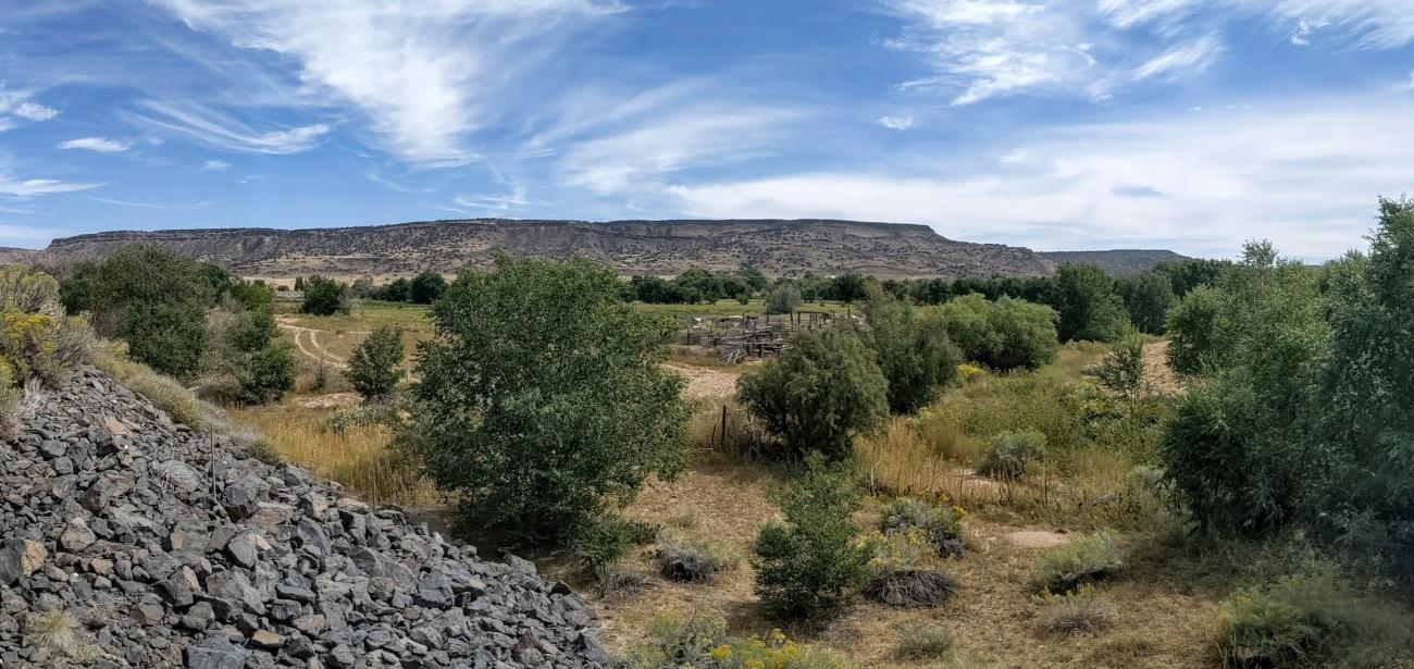
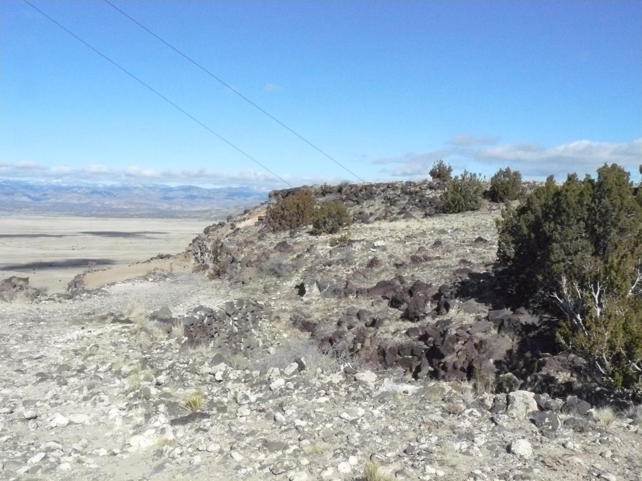
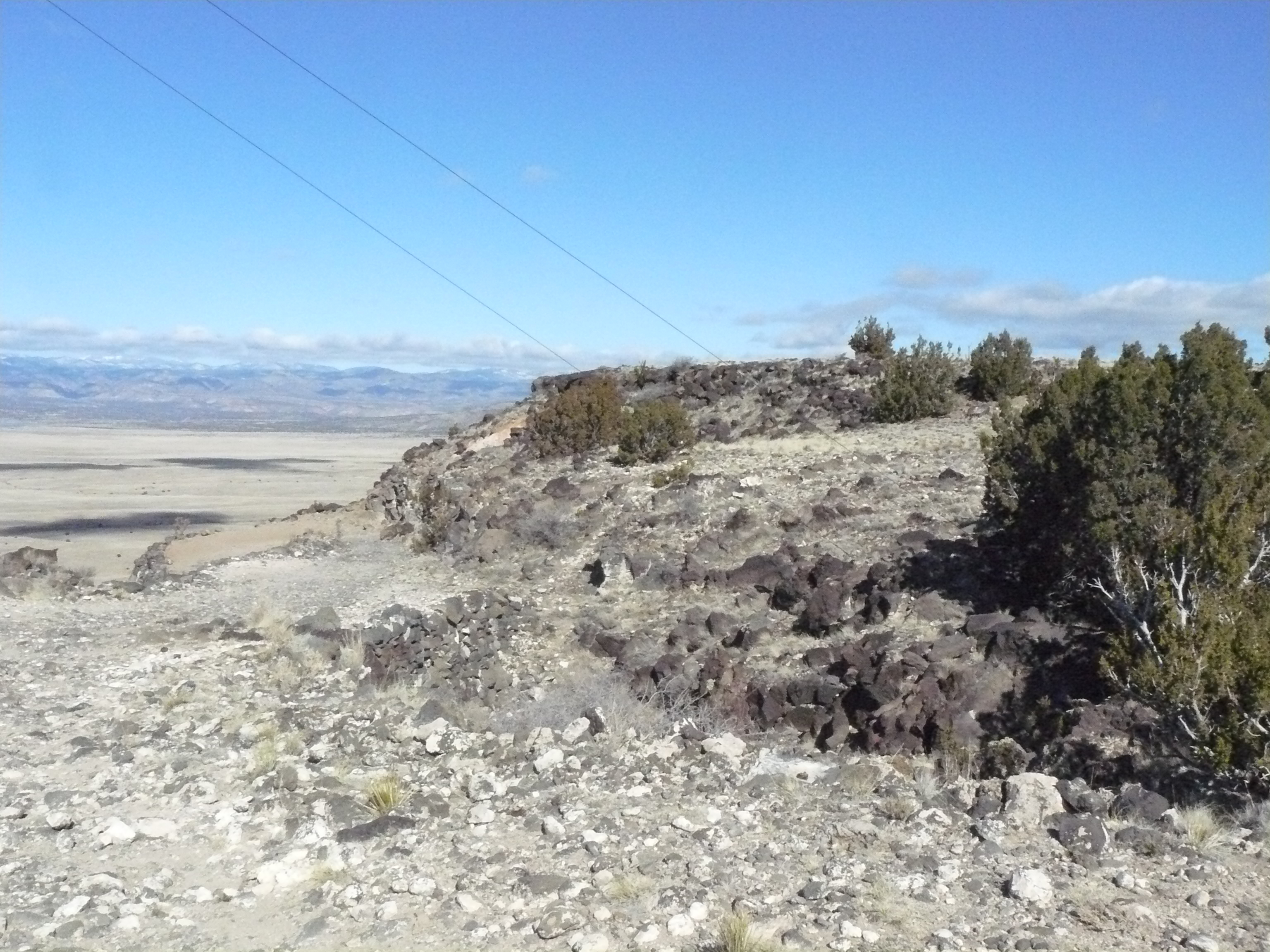
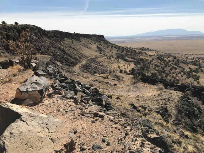
Because of its remote and rugged locale, La Bajada Mesa is among the best preserved and historically significant sections of El Camino Real today, with well-worn tracks, swales and other reminders of travelers past etched permanently into the landscape. By far, the mesa’s most defining feature is at its southwest edge, where the volcanic escarpment upon which the mesa sits towers 600 feet high over the plains below.
La Mesa is situated on a volcanic escarpment approximately 600 feet high, from where the road descends sharply. The viewpoint is known as La Bajada, one of the most spectacular natural landmarks in New Mexico.
Native cultures used the natural topography and drainage systems to take advantage of the summit of La Mesa, and even after the arrival of the Spanish, La Bajada continued to be the dividing line between Río Abajo and Río Arriba, the main economic and governmental districts of the state.
The road passing through La Bajada was the most direct but risky option, as it involved crossing the Galisteo Basin. This did not prevent it from being an attractive and recurring choice among some travelers, as evidenced by a trail that connects the Camino Real with a system of dams that formed a deep reservoir.
In the early 1700s, Spanish settlers established a small town called “La Bajada” at the base of the escarpment, alongside the Santa Fe River.
After the victory of Mexican Independence, this route regained its fame as the most direct path to Santa Fe, and the town began to function as another trade center, goods depot, and stagecoach stop or resting place for travelers.
When, in 1846, the U.S. Army took possession of New Mexico, they recognized the potential of this route and improved the road to accommodate wagons.
Even after the arrival of the railroad, La Bajada Mesa retained its importance as a transportation corridor. Between 1903 and 1929, a segment of the trail became New Mexico State Road 1, and between 1926 and 1932, the same segment became part of U.S. Route 66, which was traveled by 1,200 vehicles a day before the interstate was constructed a few miles to the east.