Skip to main content
Fut + Cultura
Fut + Cultura
Menu
Idioma
Español
English
Menu principal
Museums
Archaeological sites
Archaeological sites sub-navigation
Archaeological windows
Historical Monument Areas
World cultural heritage
World cultural heritage sub-navigation
Intangible World Heritage
Routes or Paths
Rock art manifestations
Cultural regions
Pagination
Previous page
10
Descargar Imagen
Route element
Lugares relacionados
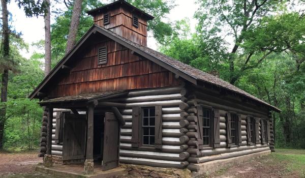
Parque estatal Misión Tejas
Route element
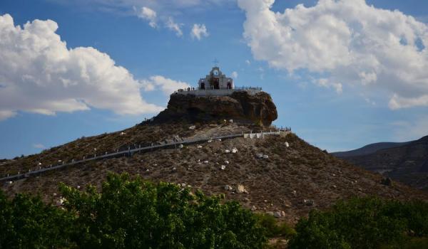
Parras de la Fuente
Historical Monuments Zone
,
Route element
Parras de la Fuente
Historical Monuments Zone
,
Route element
Paso Apache
Route element
Paso de Francia
Route element
Paso de los Tejas
Route element
Paso de Sabinitas
Route element
Plazas Principales y Militares
Route element
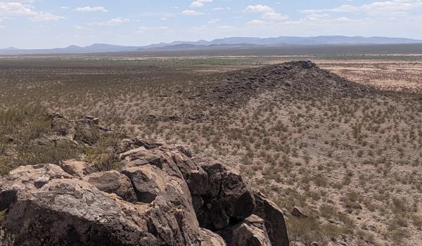
Point of Rocks
Route element
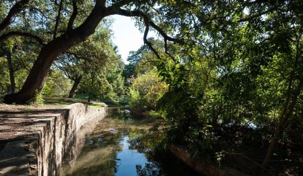
Presa Acequia del Álamo
Route element
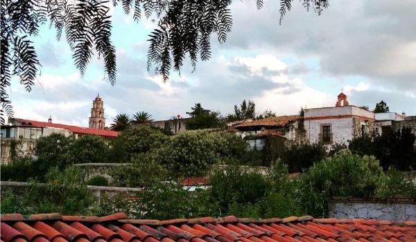
Pueblo de Aculco
Route element
Pueblo de Indé
Route element
Pagination
First page
Previous page
…
Page
7
Page
8
Page
9
Page
10
Page
11
Page
12
Page
13
Page
14
Page
15
…
Next page
Last page
Route element