


Pueblo de Indé
During the colonization process in northern New Spain, the mining district of San Juan Bautista de Indehe—later known as Indé in the 19th century—gained special significance as one of the first mining districts in Nueva Vizcaya.
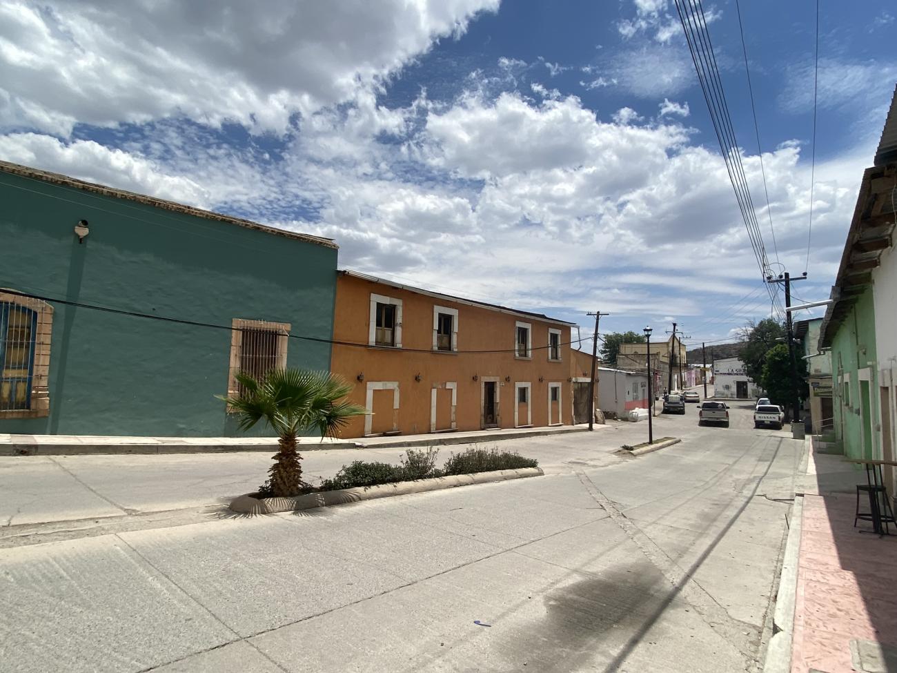
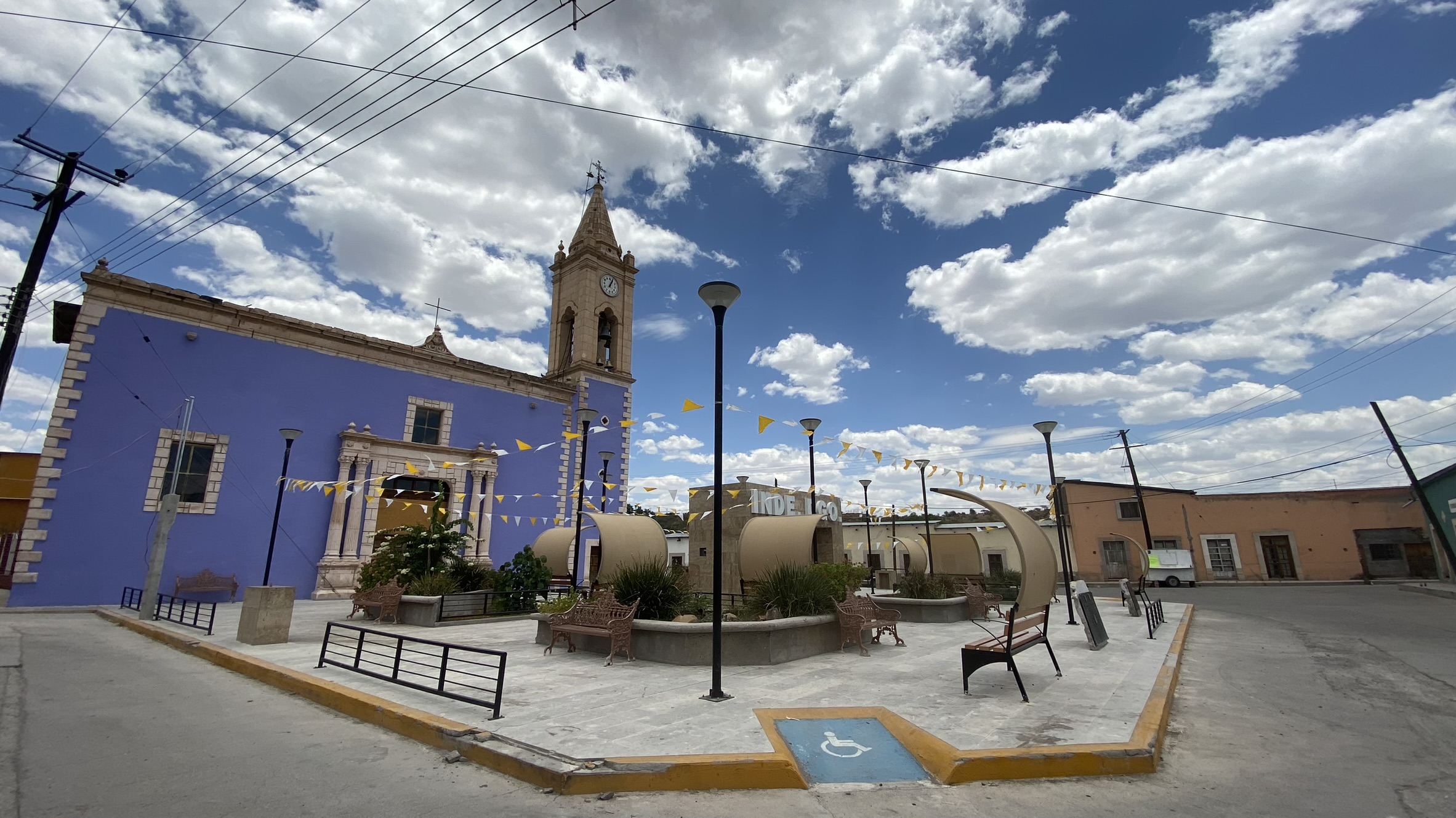
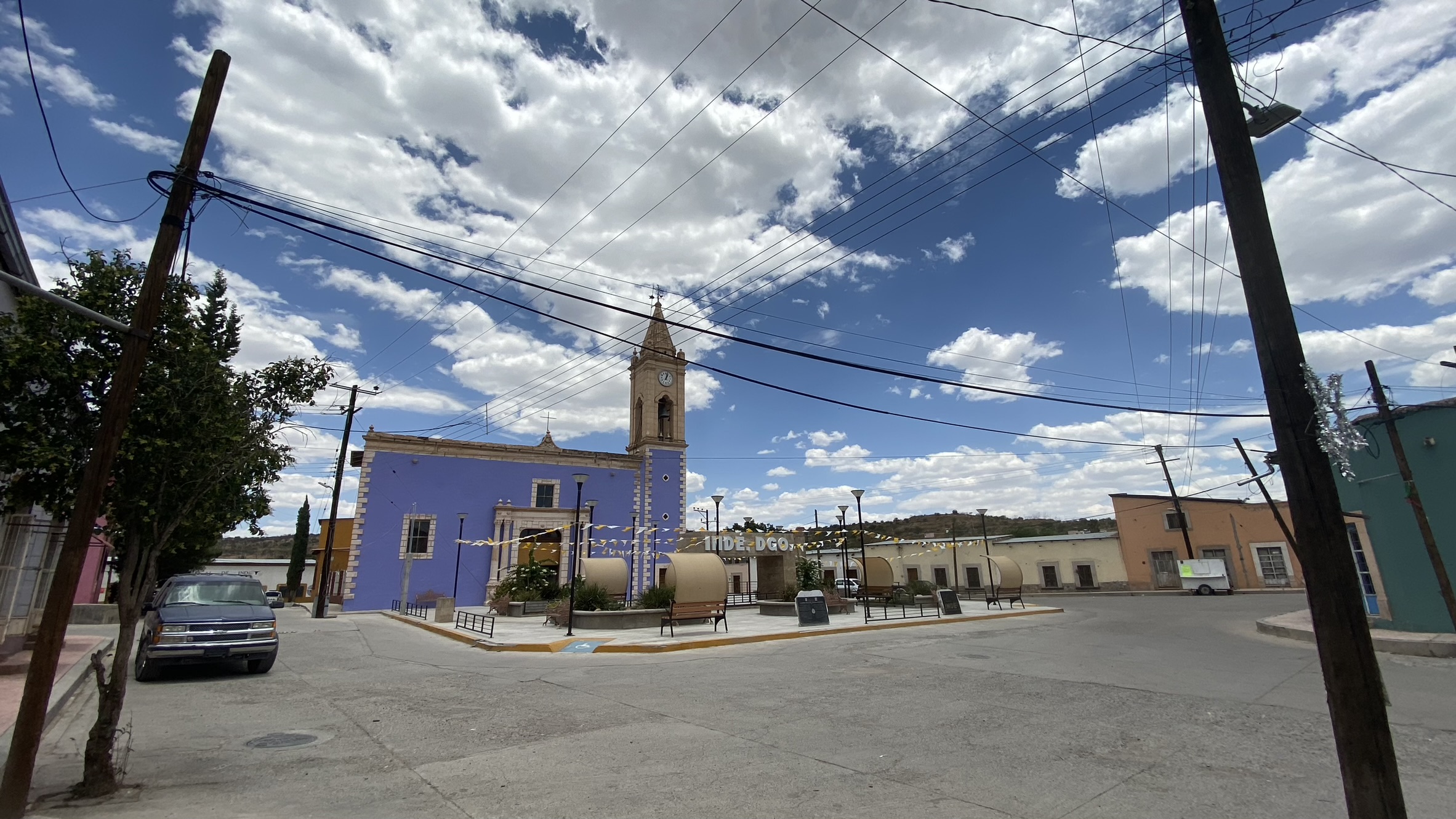
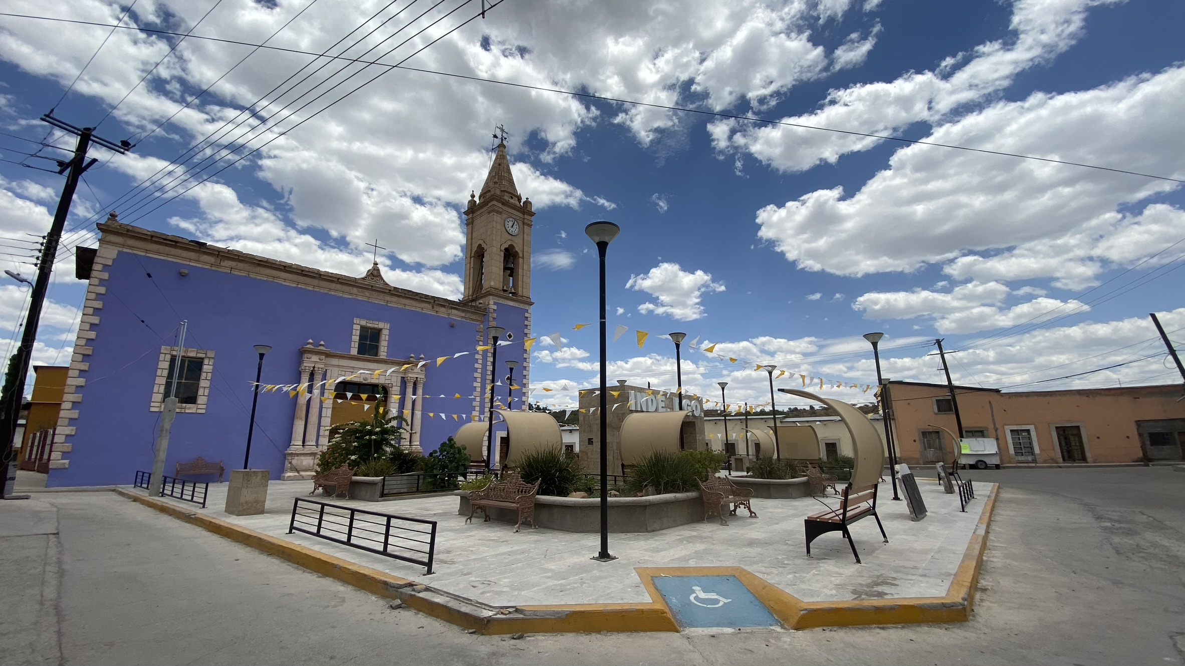
This frontier institution of the Spanish colony constituted a substantial part of the Royal Inland Road, as it represented an important outpost in a hostile territory. The first governor of Nueva Vizcaya, Francisco de Ibarra, discovered the Indehe mines in 1563 near Cerro de la Bufa; later, Captain Rodrigo del Río de Losa formally founded the mining district. By 1765, the mining district of San Juan Bautista de Indehe had 866 inhabitants. The urban layout of the town of Indé reflects the typical design of a mining town in the northern region of the country. Its configuration is known urbanistically as 'broken plate,' characterized by its irregularity due to geographical conditions.
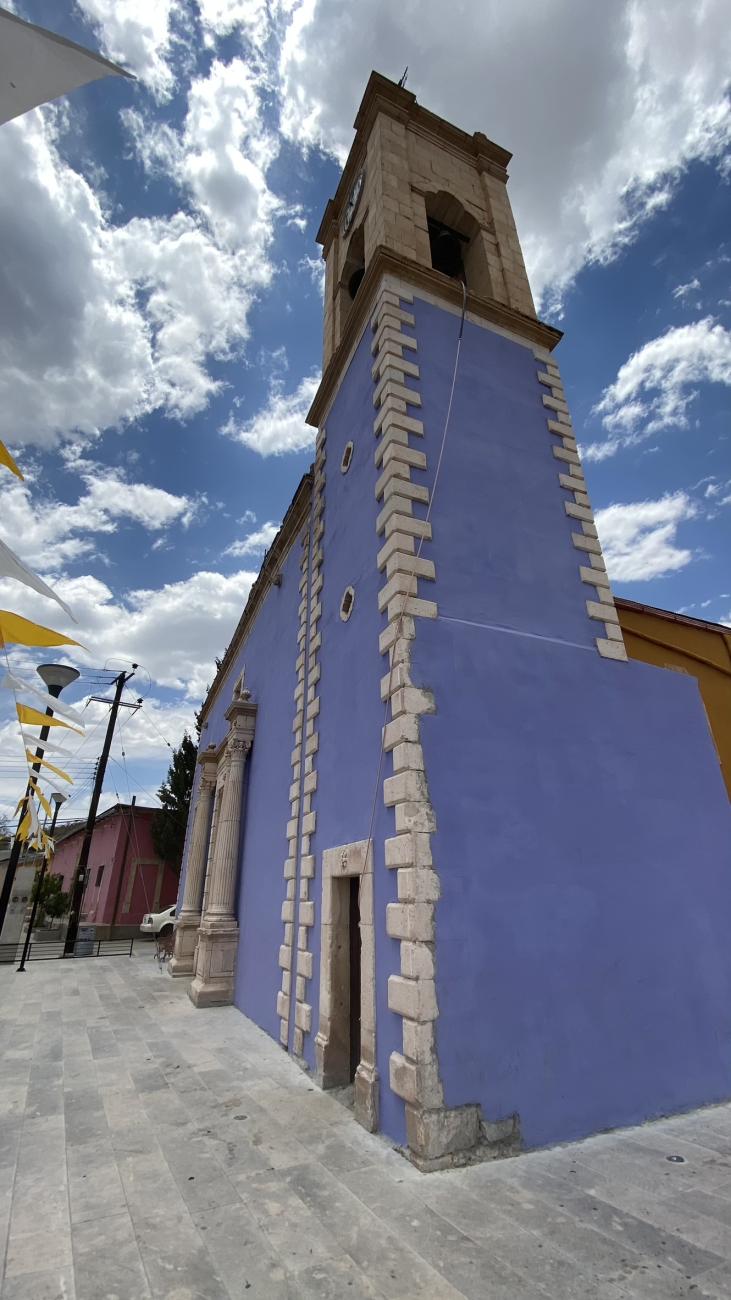
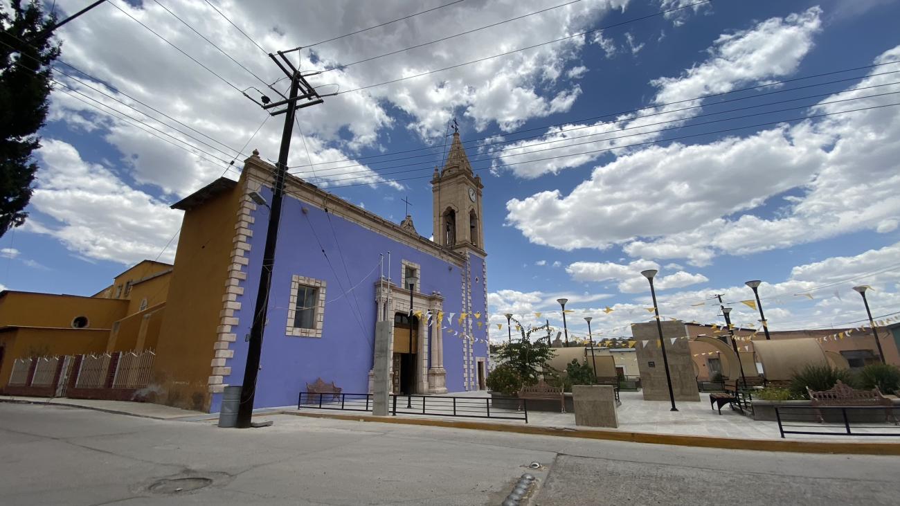
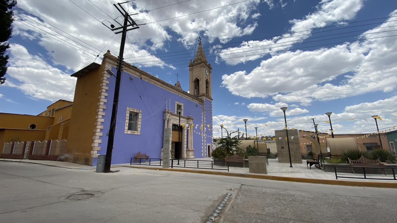
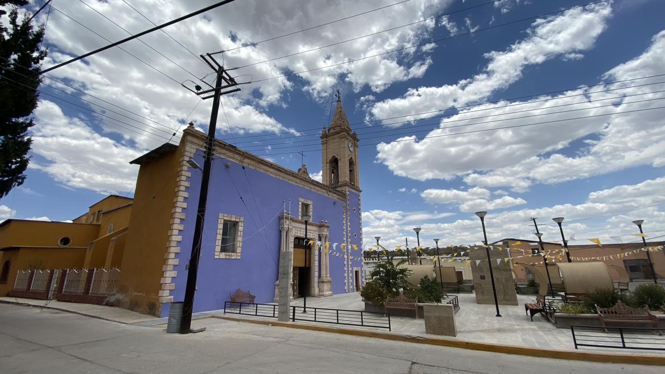
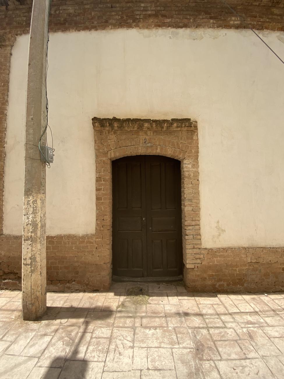
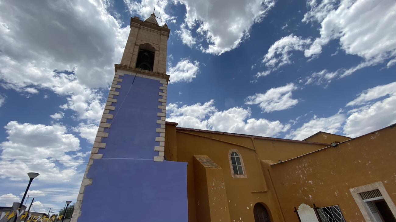
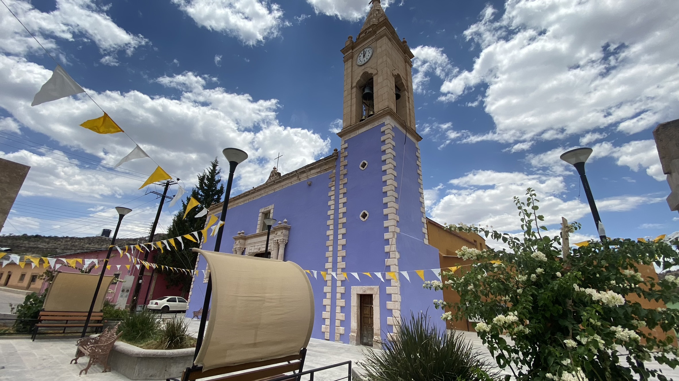
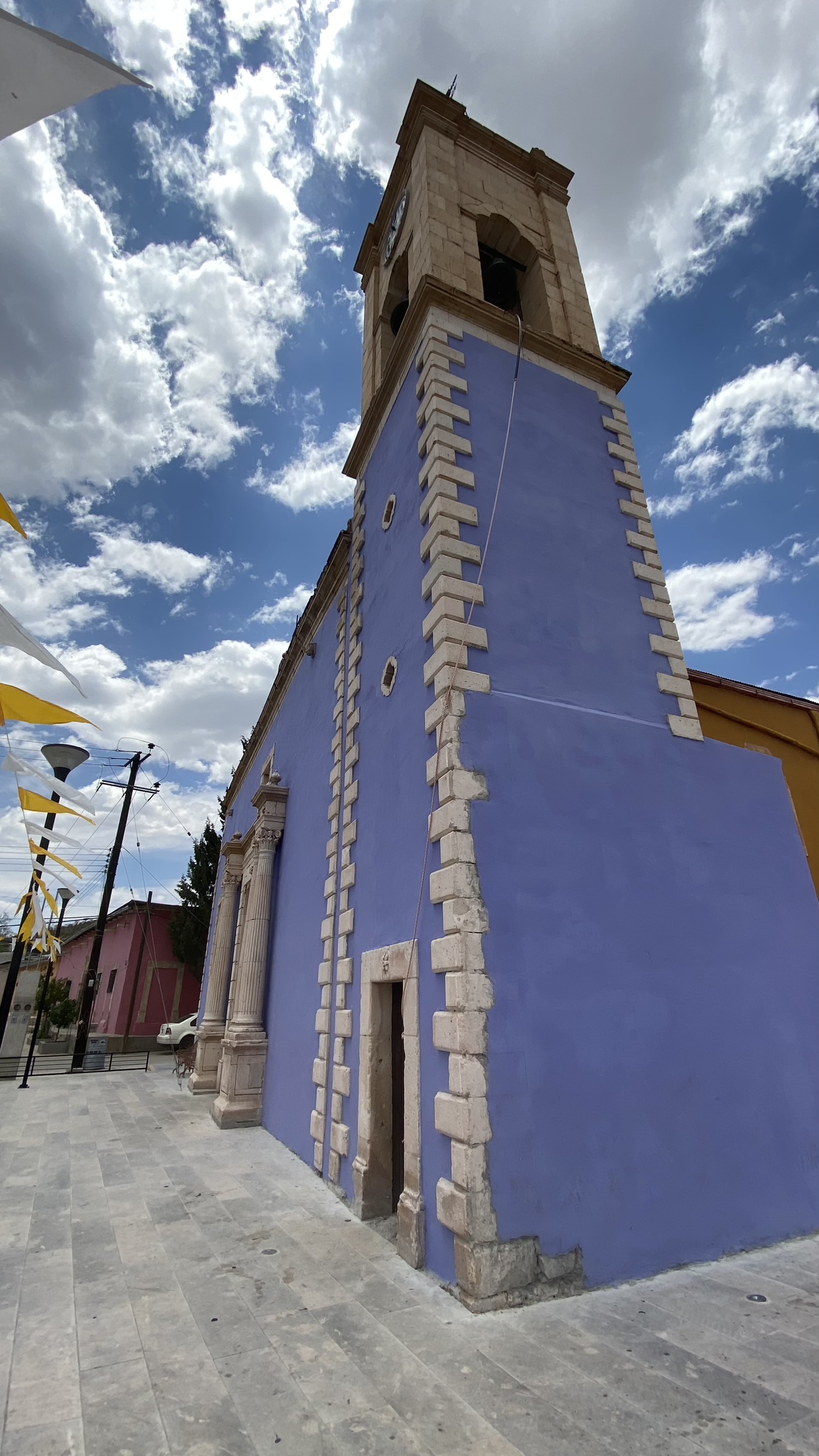
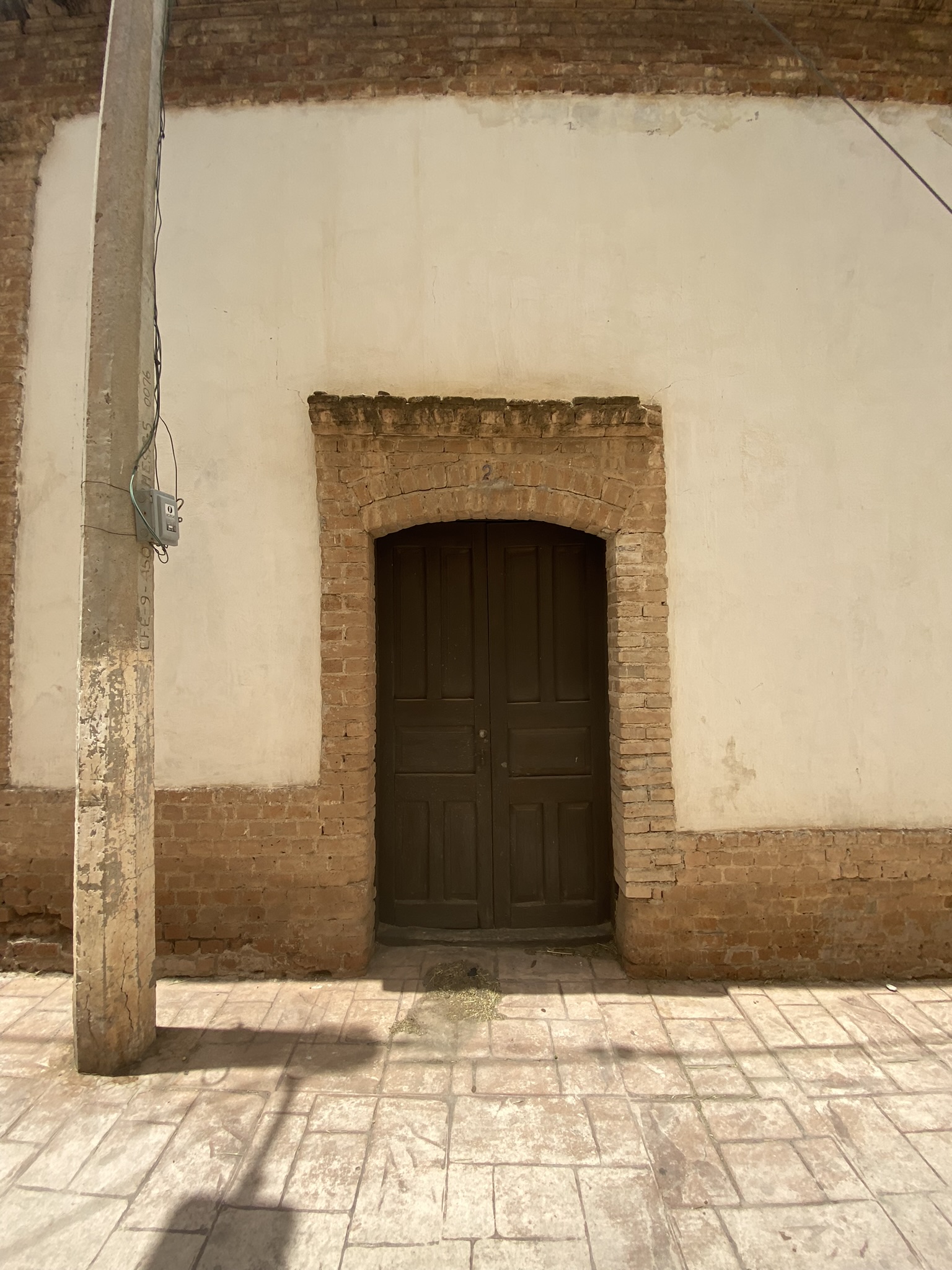
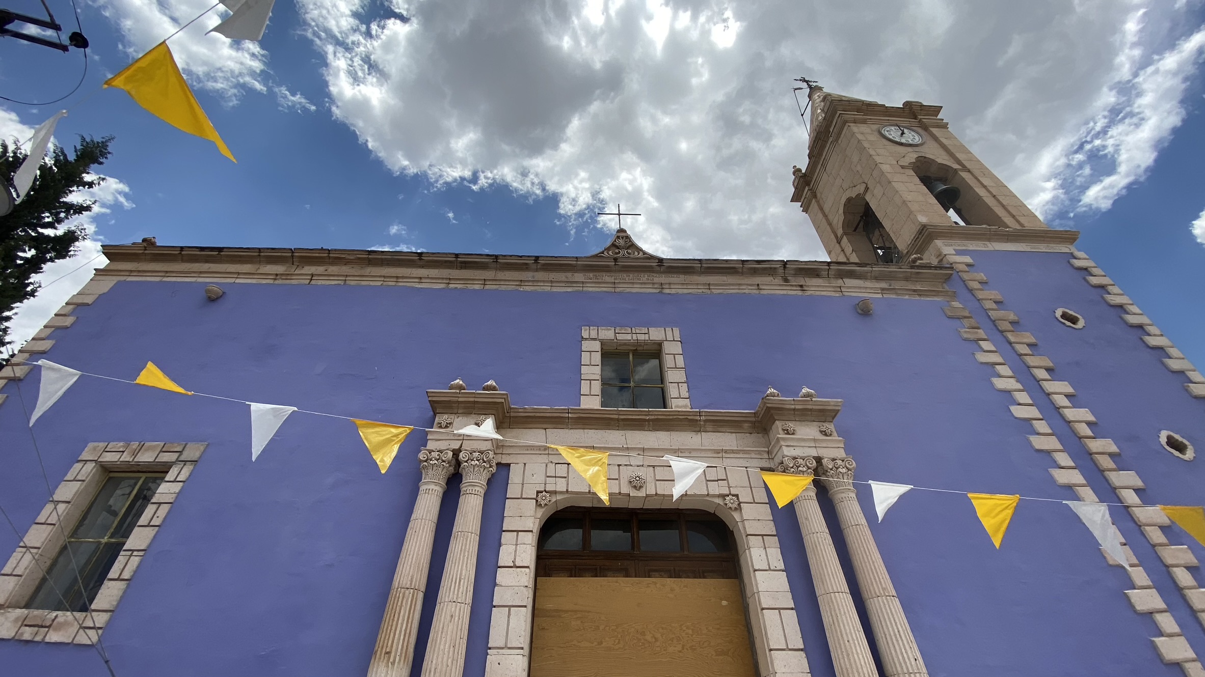
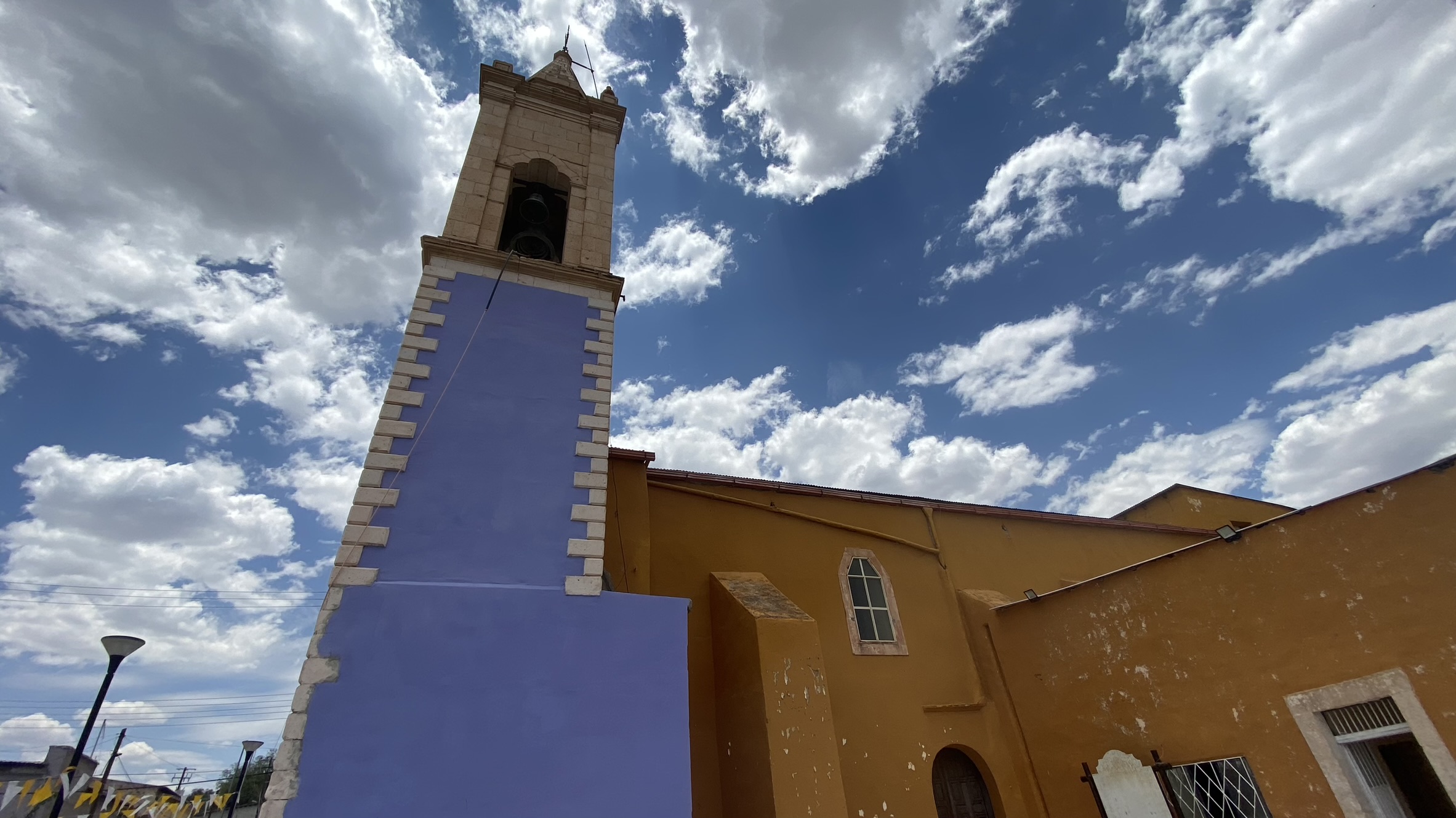
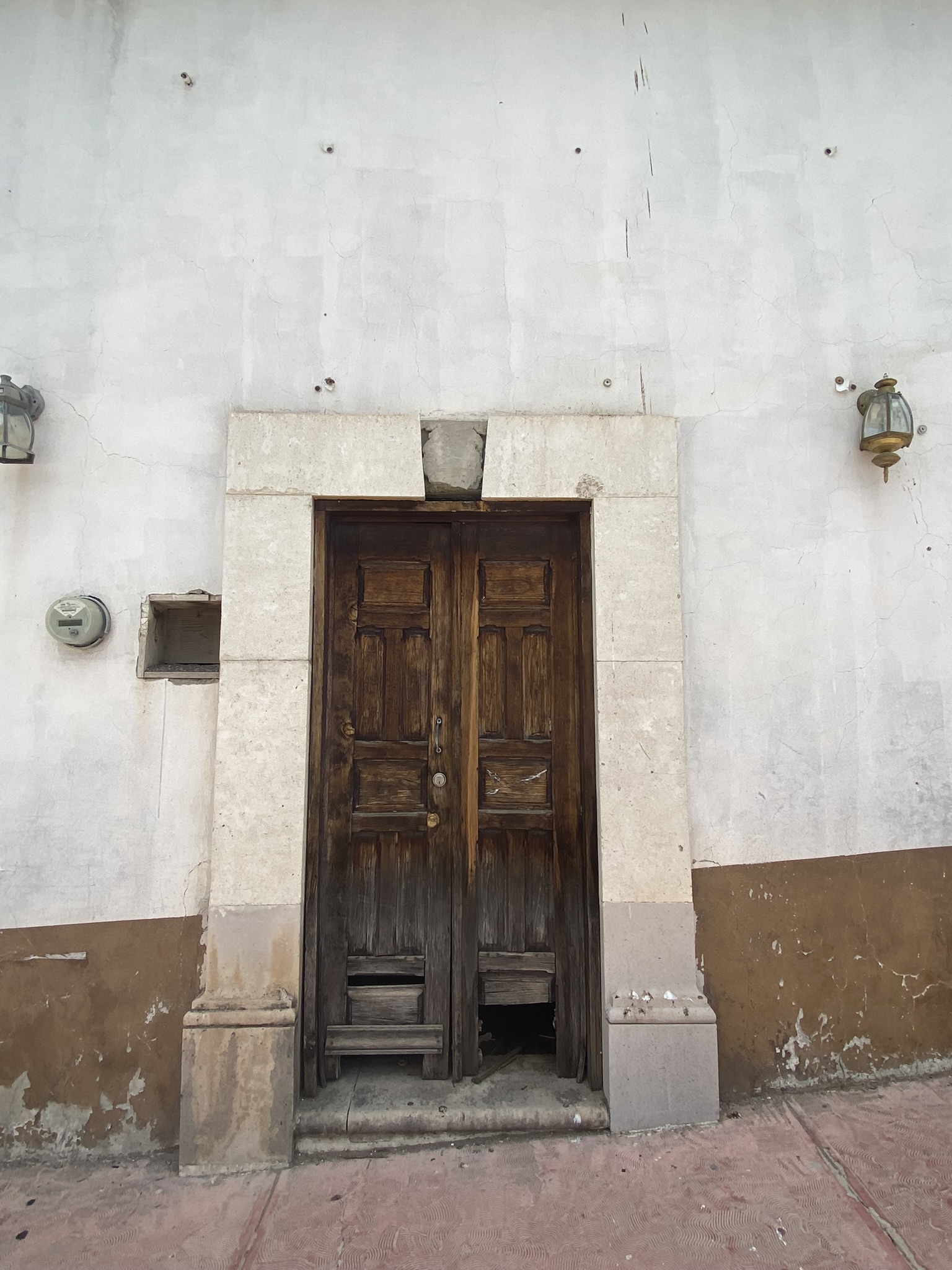
The town of Indé features buildings with a homogeneous urban image due to several similar factors, including construction system, architectural layout, materials, heights, and façades. Civil buildings are characterized by being constructed of quarry stone. Its parish church dates back to the 19th century
In the town of Indé, there are several civil constructions made of quarry stone. Additionally, its parish church dates back to the 19th century and is characterized by its simple altarpiece with spiral columns and stipes, which is dedicated to Saint Joseph.
In 1824, after the establishment of the state of Durango, the town of Indé was included in the municipalities of Cerro Gordo and San Miguel de Bocas. Currently, the town belongs to the municipality of the same name.