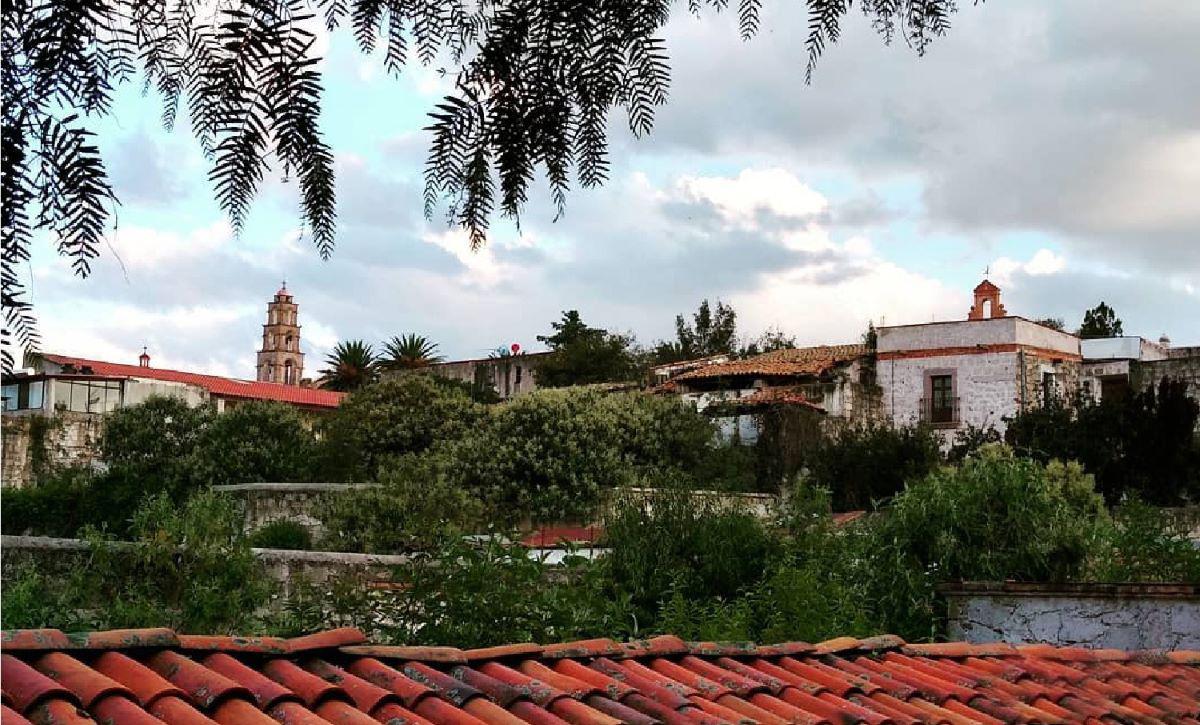
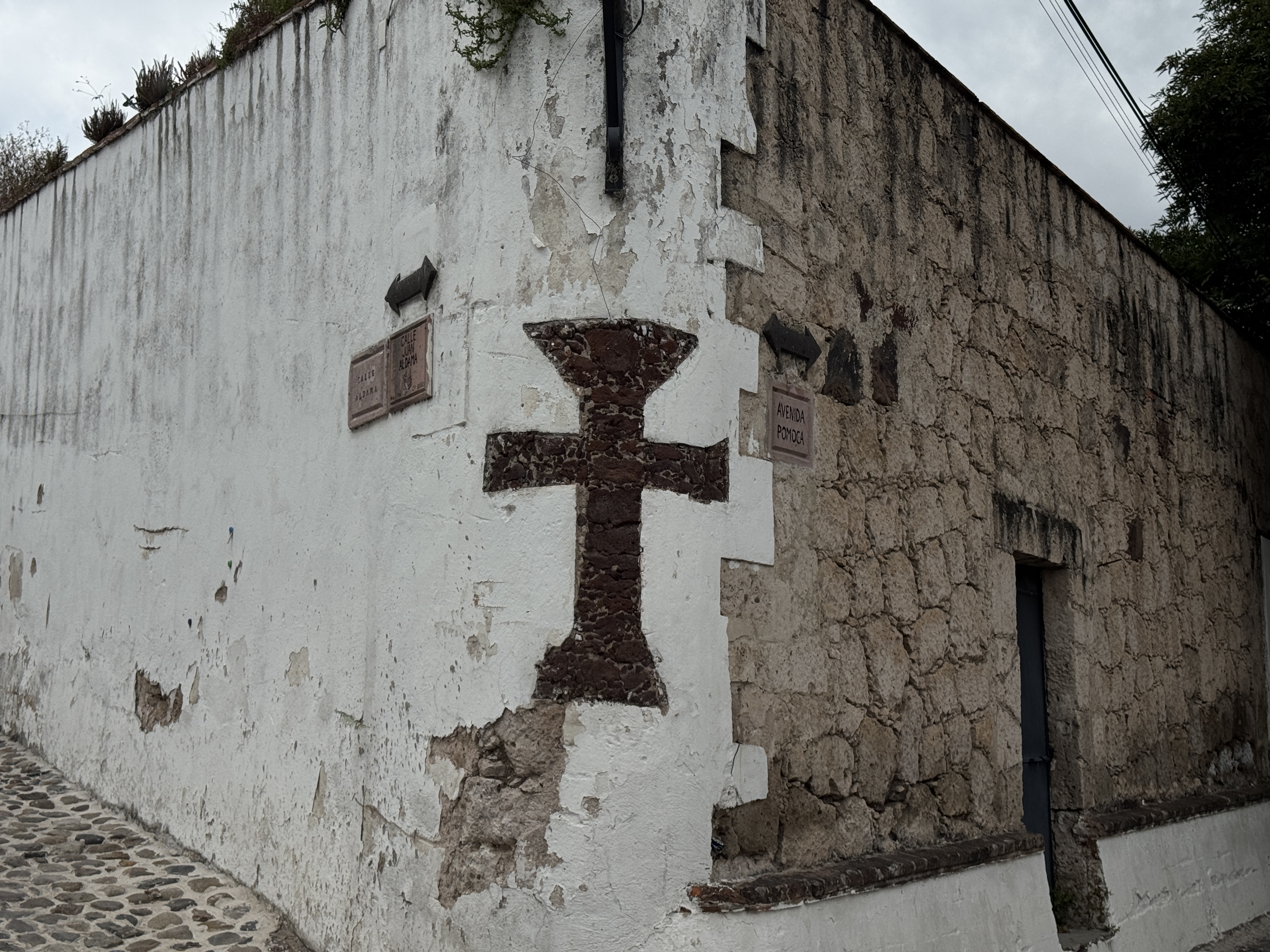
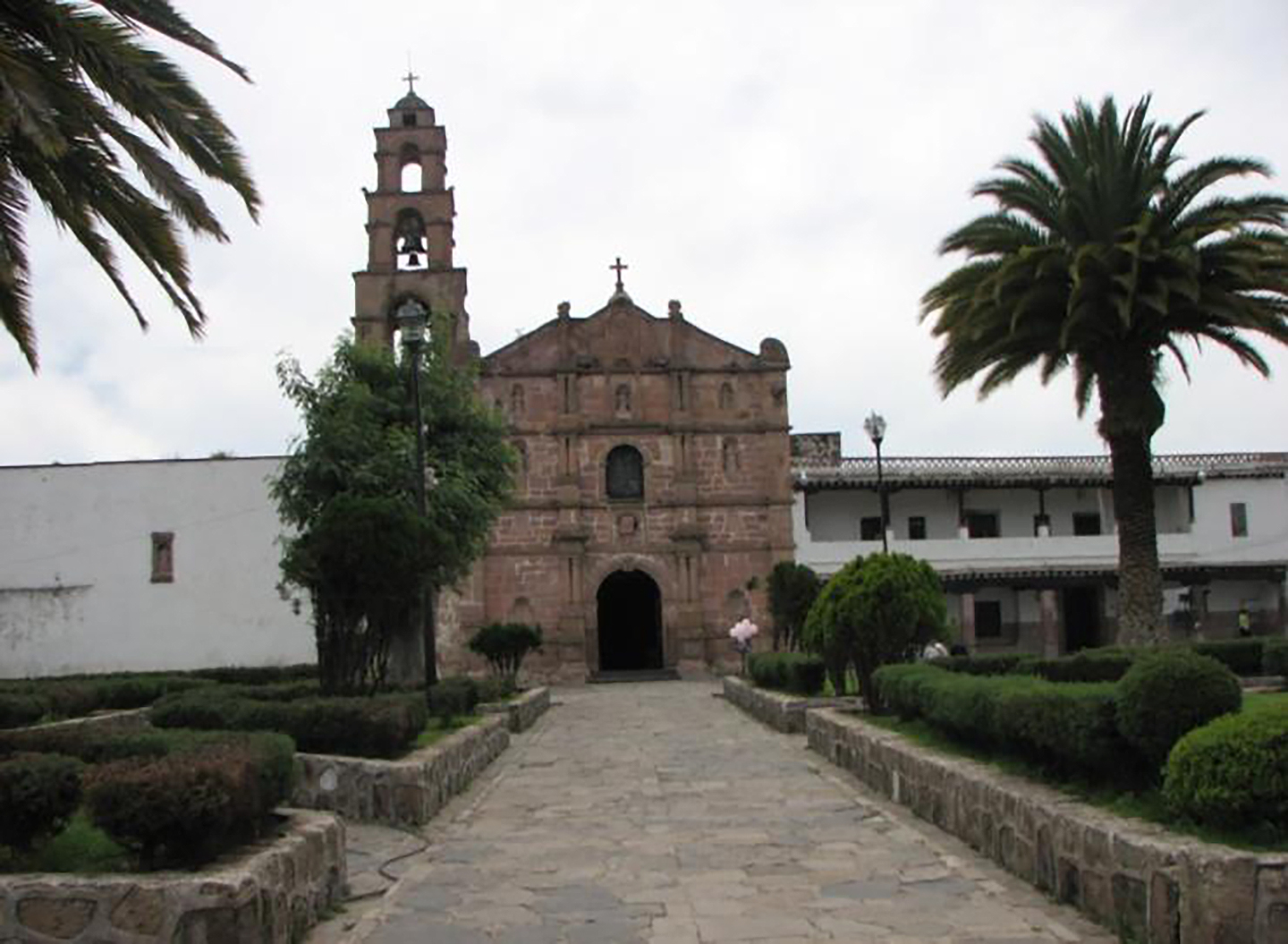
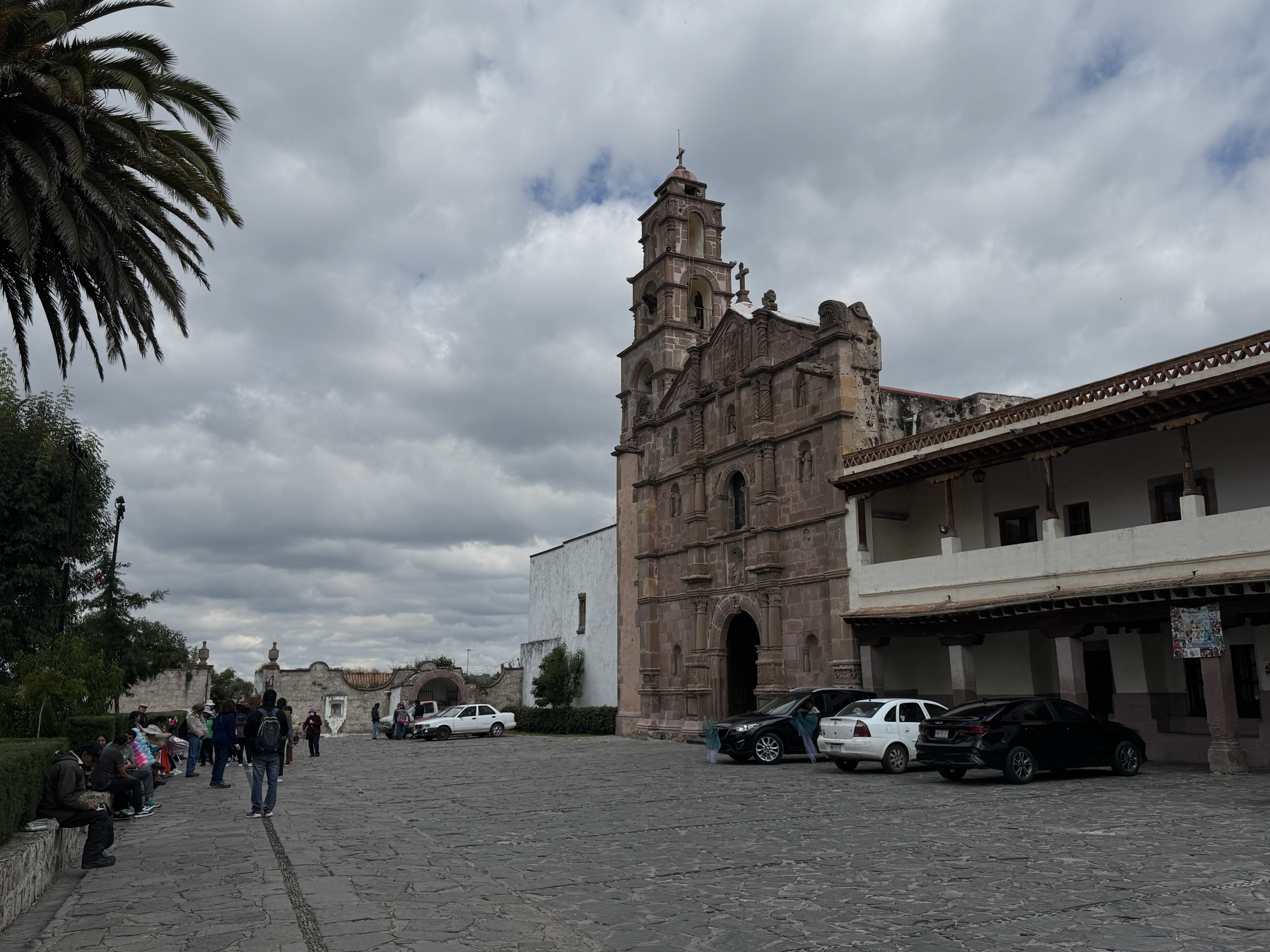
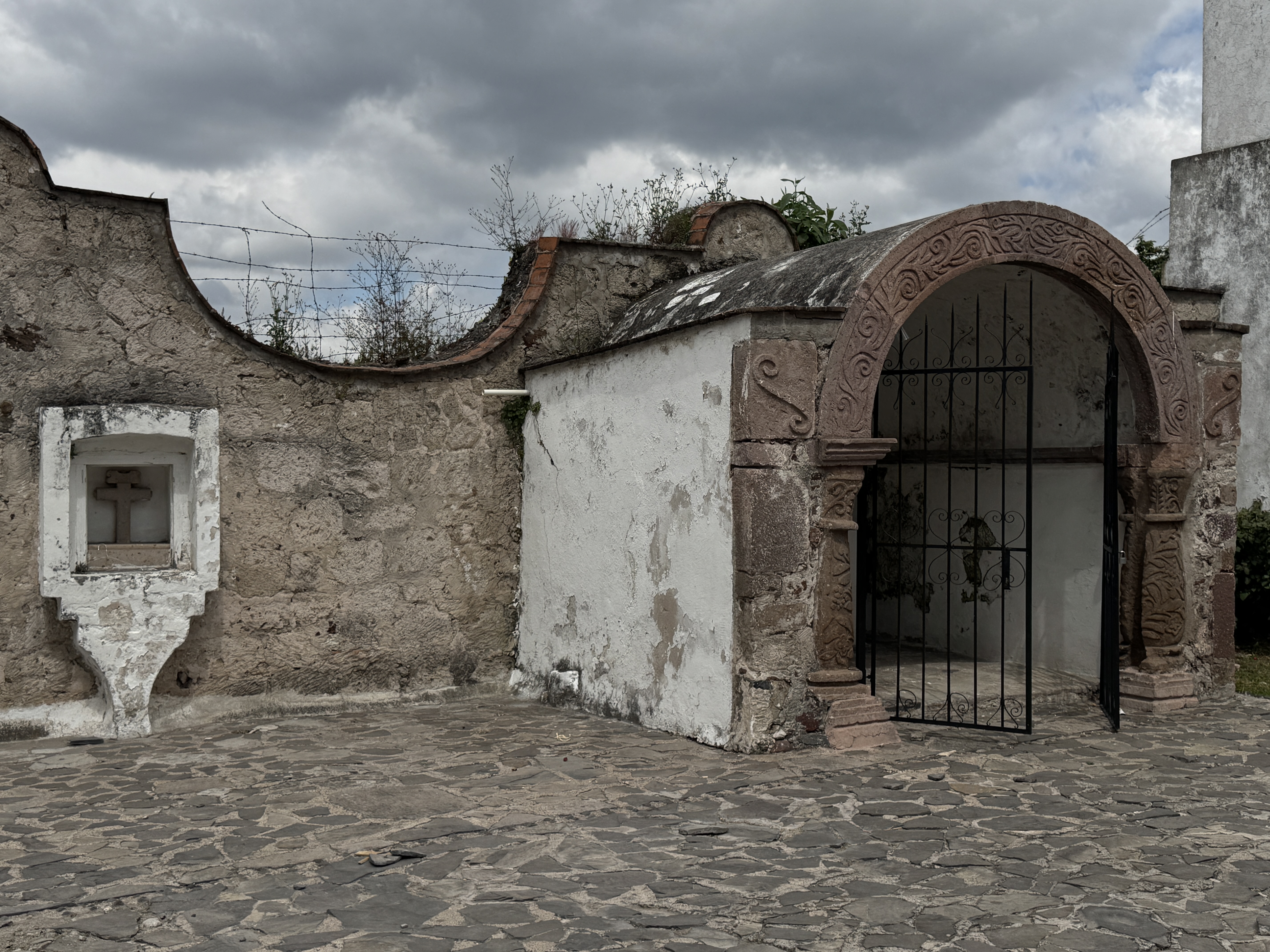
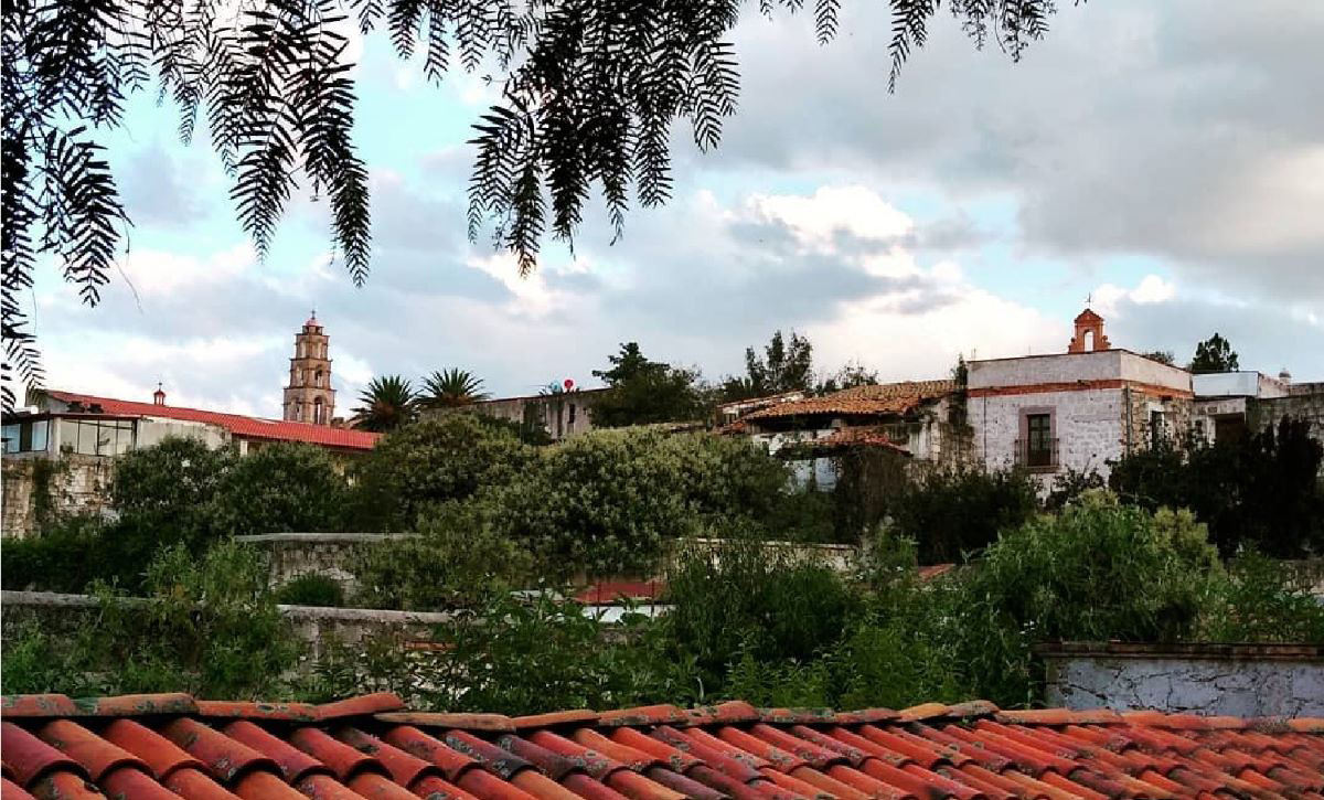
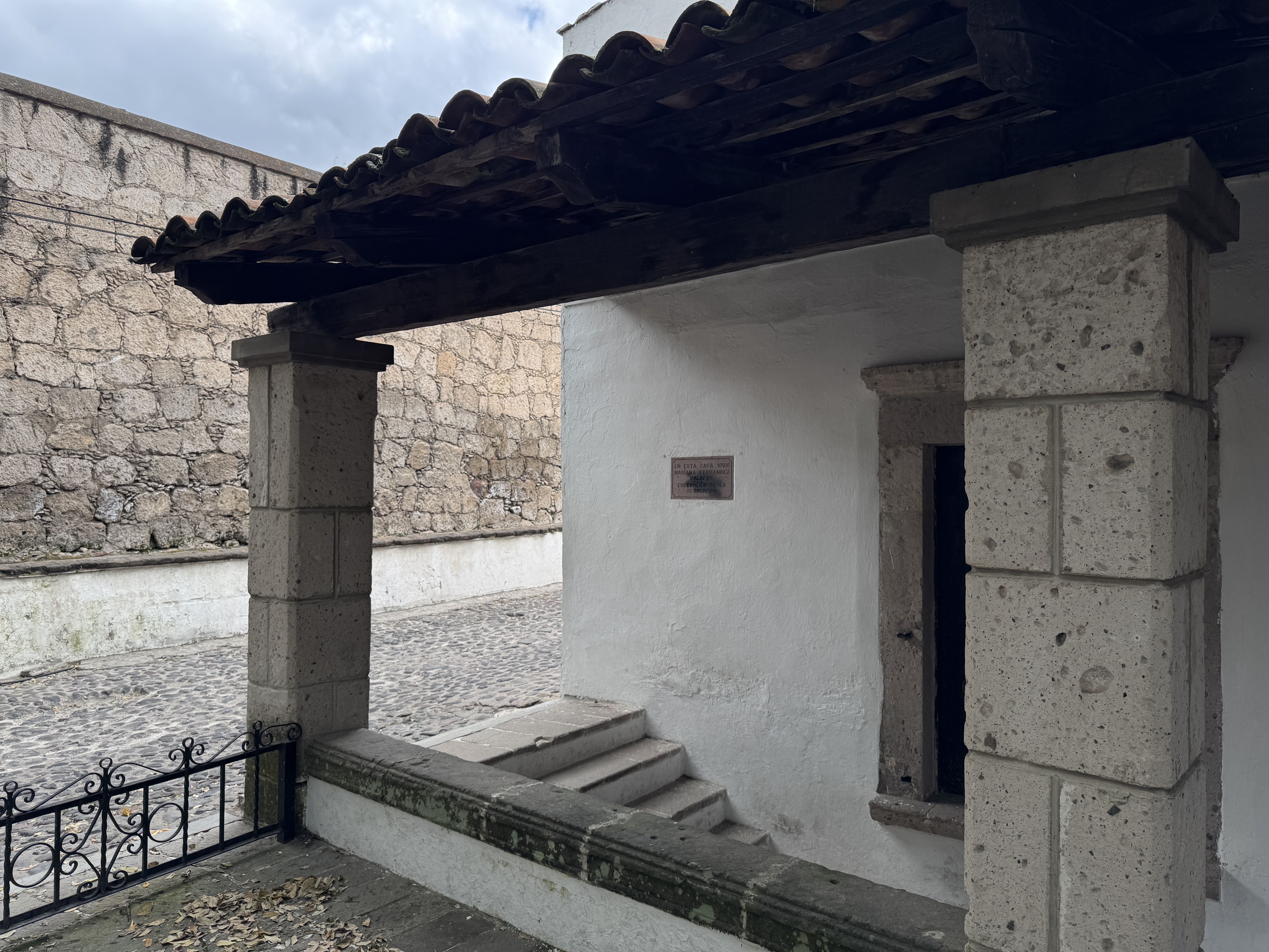

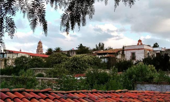

Pueblo de Aculco
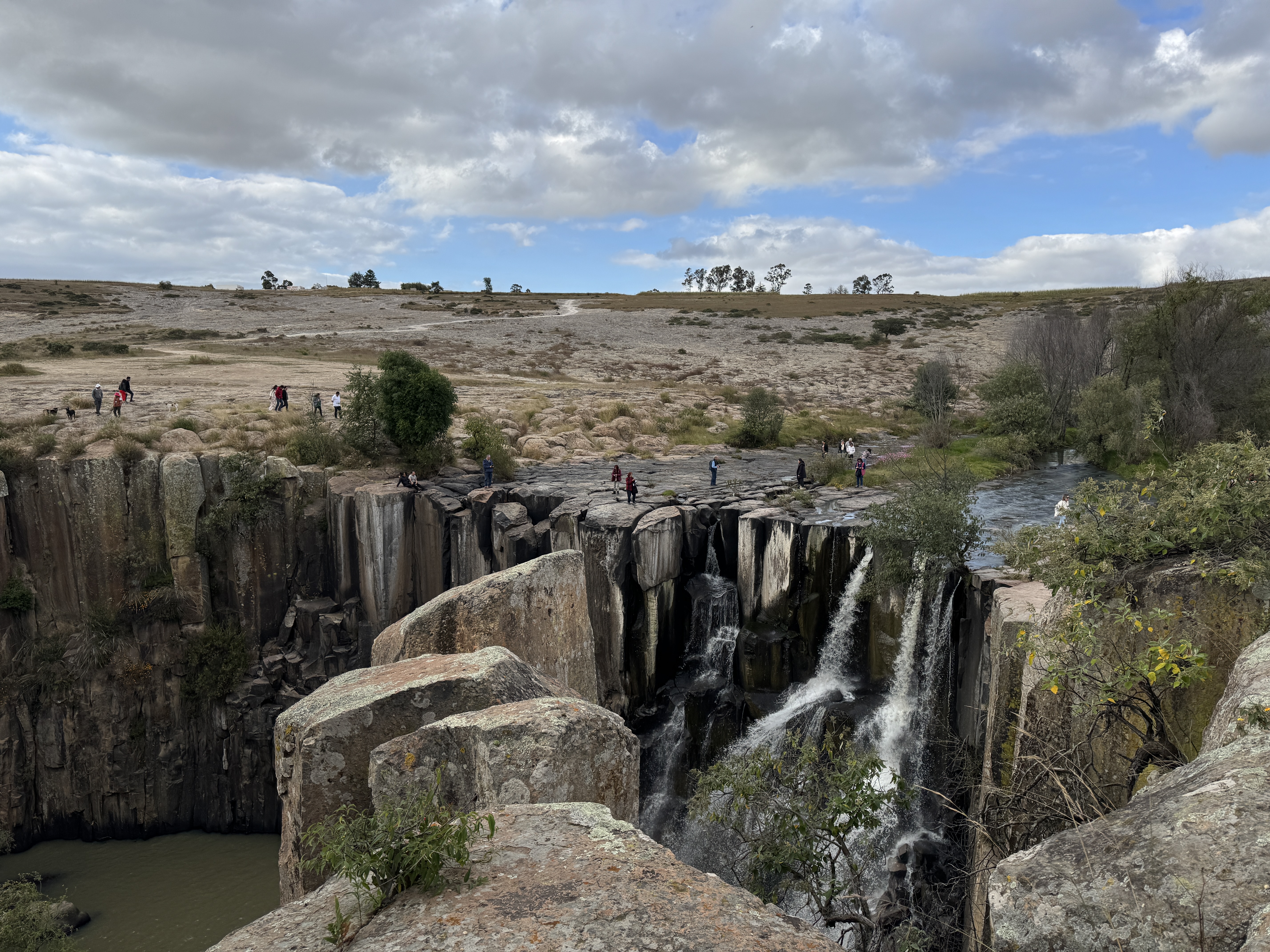
The origins of the town of Aculco date back to the year 1100 and it was founded by Otomi people, although its name comes from Nahuatl and means 'At the place where the water turns' or 'in the twisted water,' referring to the place where the water makes a curve.
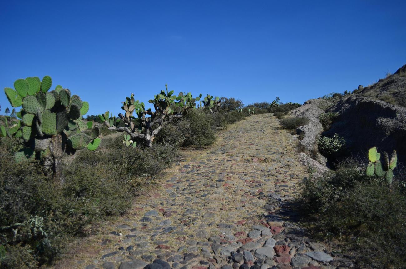
Aculco is located in the central highlands of the country, at the northwestern edge of the State of Mexico. According to 18th-century documents, the town of Aculco was founded in 1522 and was then known as San Jerónimo de Aculco. From this date until the 1540s, this area witnessed the early stages of northward expansion in the country, making it an important transit area for various migrations. This route was formally established as part of the Royal Inland Road, built around 1550 as a road between Mexico City and Zacatecas, which passed through its jurisdiction for seven leagues, significantly impacting Aculco's historical development for over three hundred years.
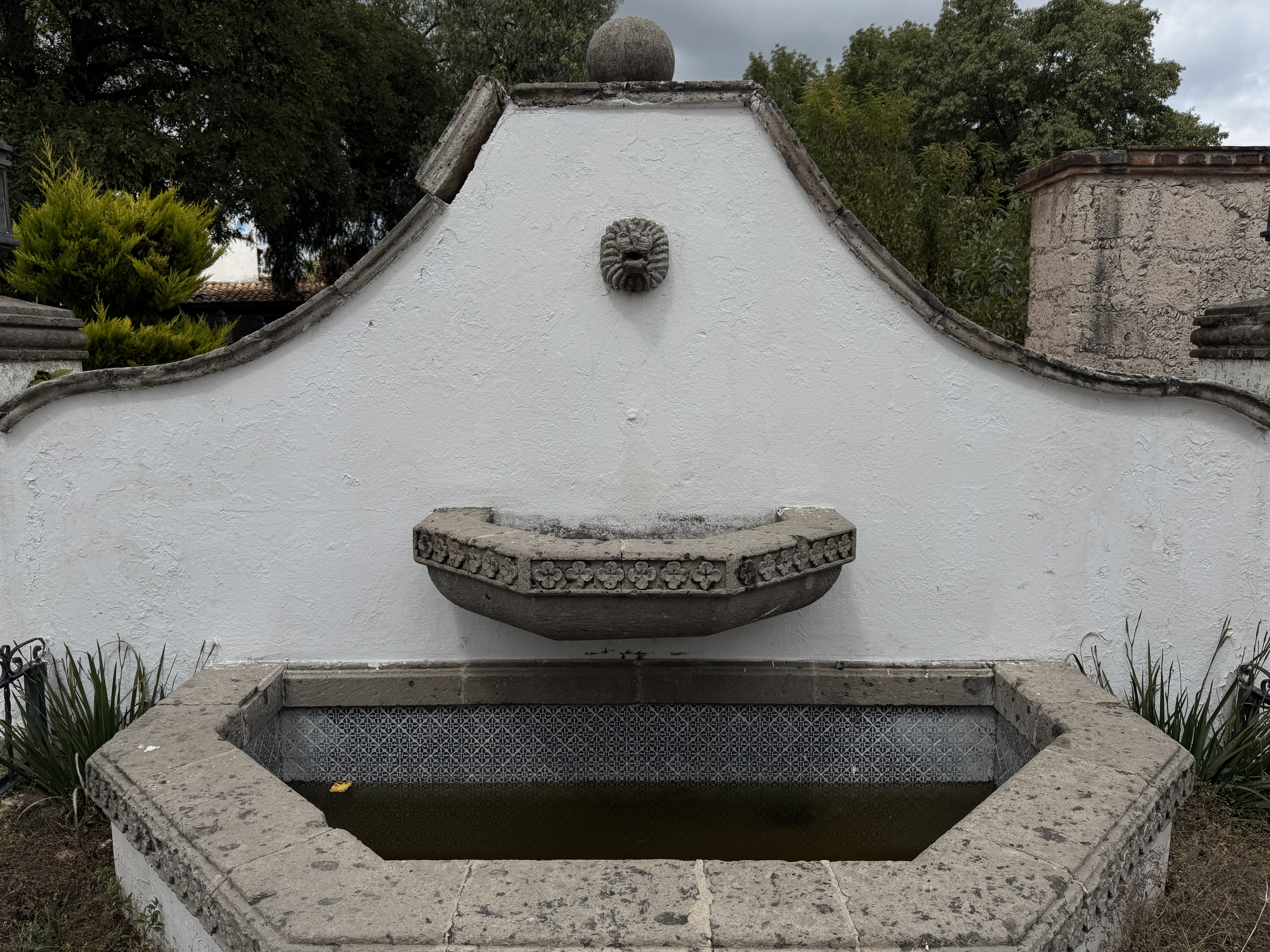
In the second half of the 16th century, numerous land grants were given in the territory of Aculco. The accumulation of holdings to form extensive haciendas was a process that developed in the area mainly during the 17th and 18th centuries, when the haciendas of Ñadó and Arroyozarco emerged.
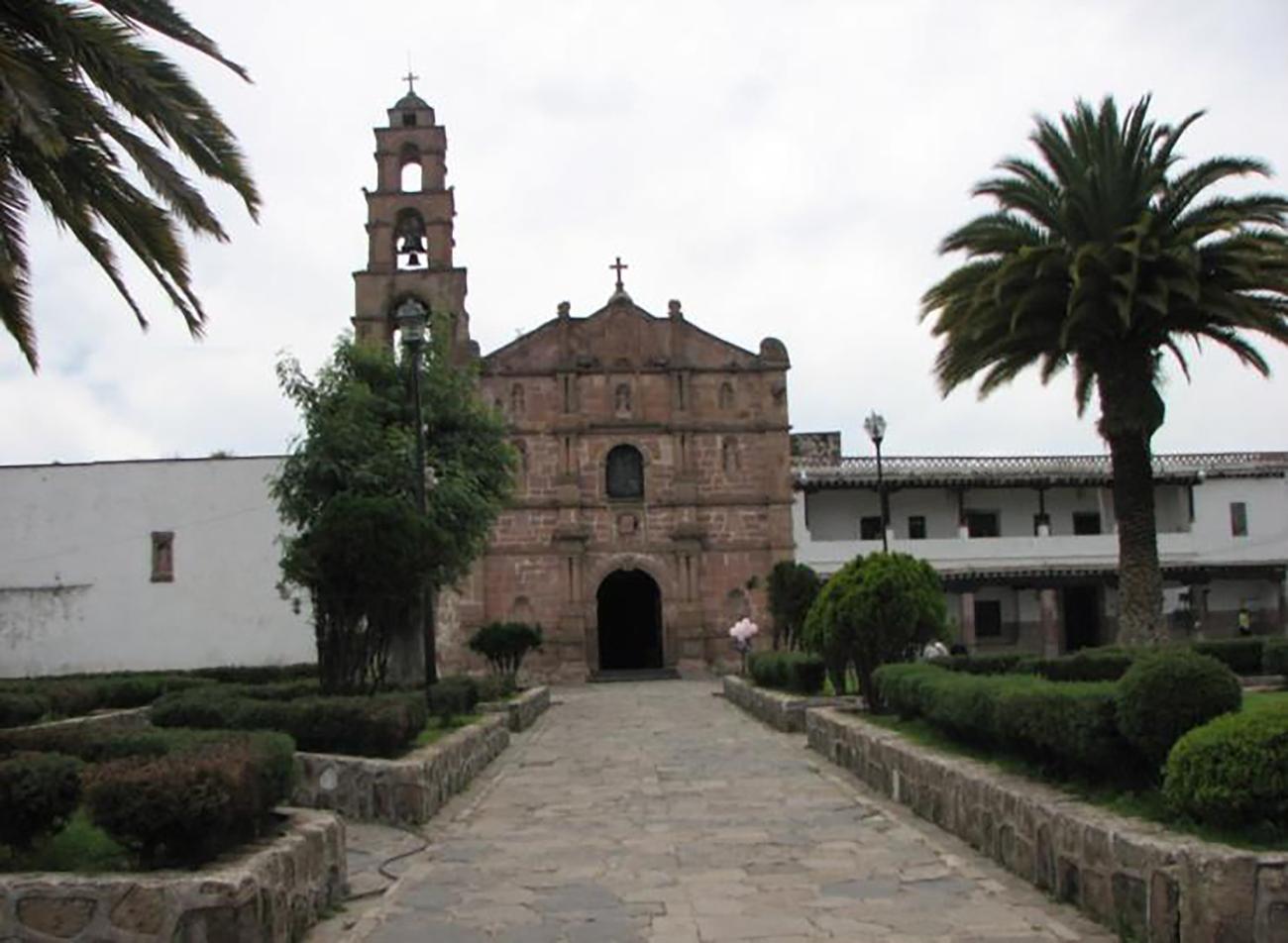
The hacienda Ñadó was notable for being an indigenous-owned latifundia until well into the 18th century, when it passed into the hands of a mestizo family. Meanwhile, Arroyozarco served from its origins as an inn for travelers, later becoming a mesón. By the early 18th century, it covered more than 10,000 hectares, producing large quantities of corn and wheat and housing nearly two thousand head of cattle. From around 1786, it became the Hotel Diligencias, notable for its neoclassical architecture with masonry and pink quarry elements and for preserving the original hacienda structure.
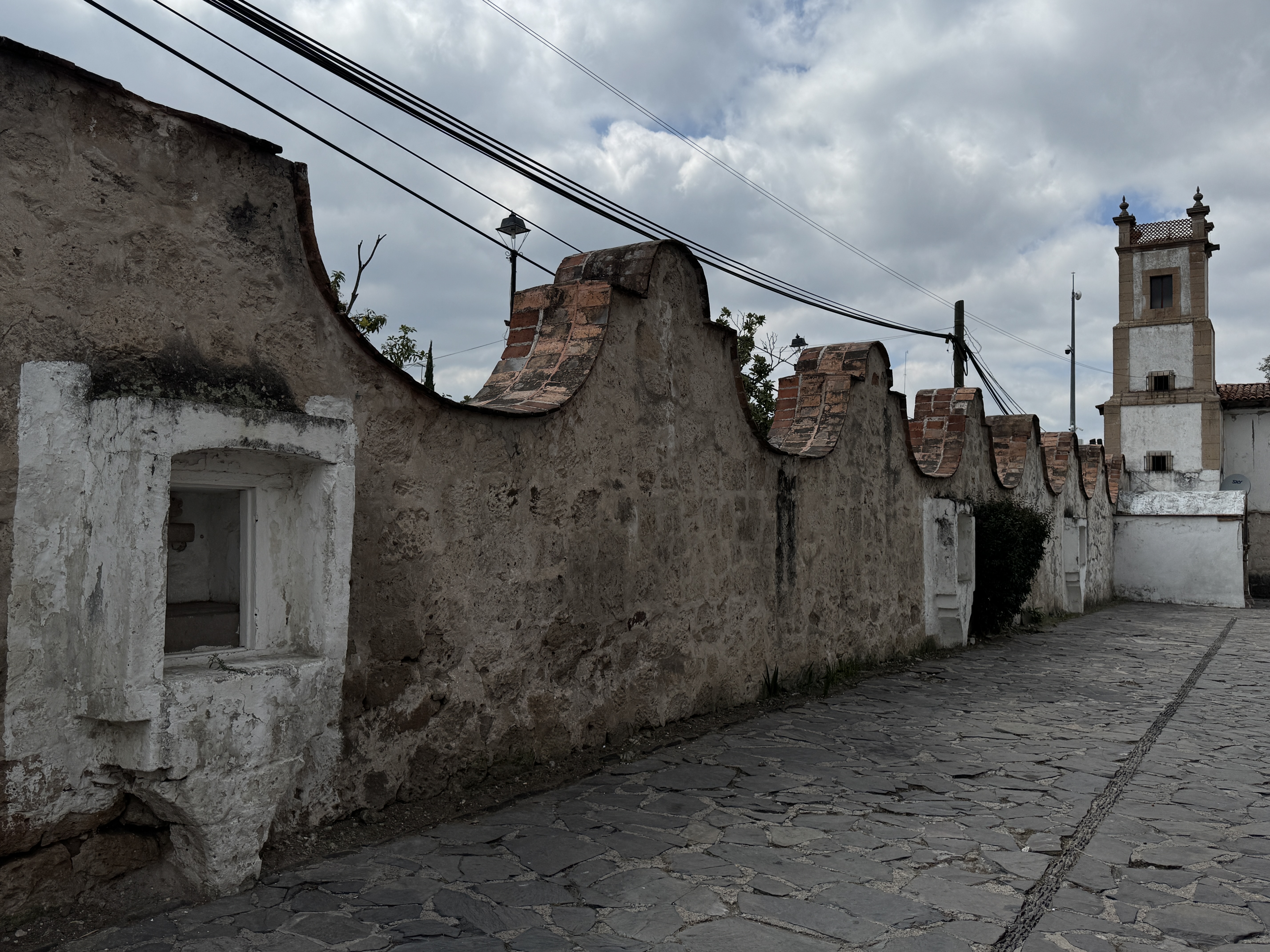
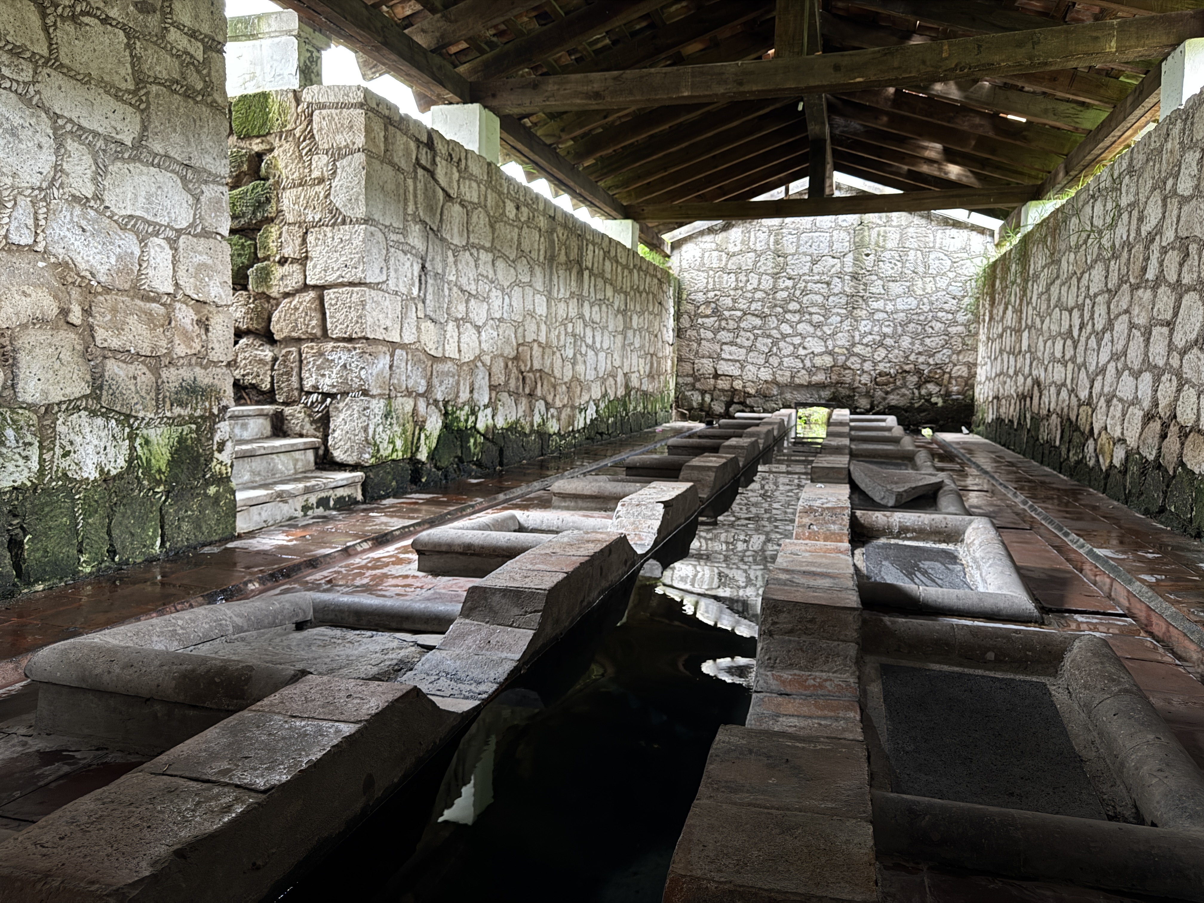
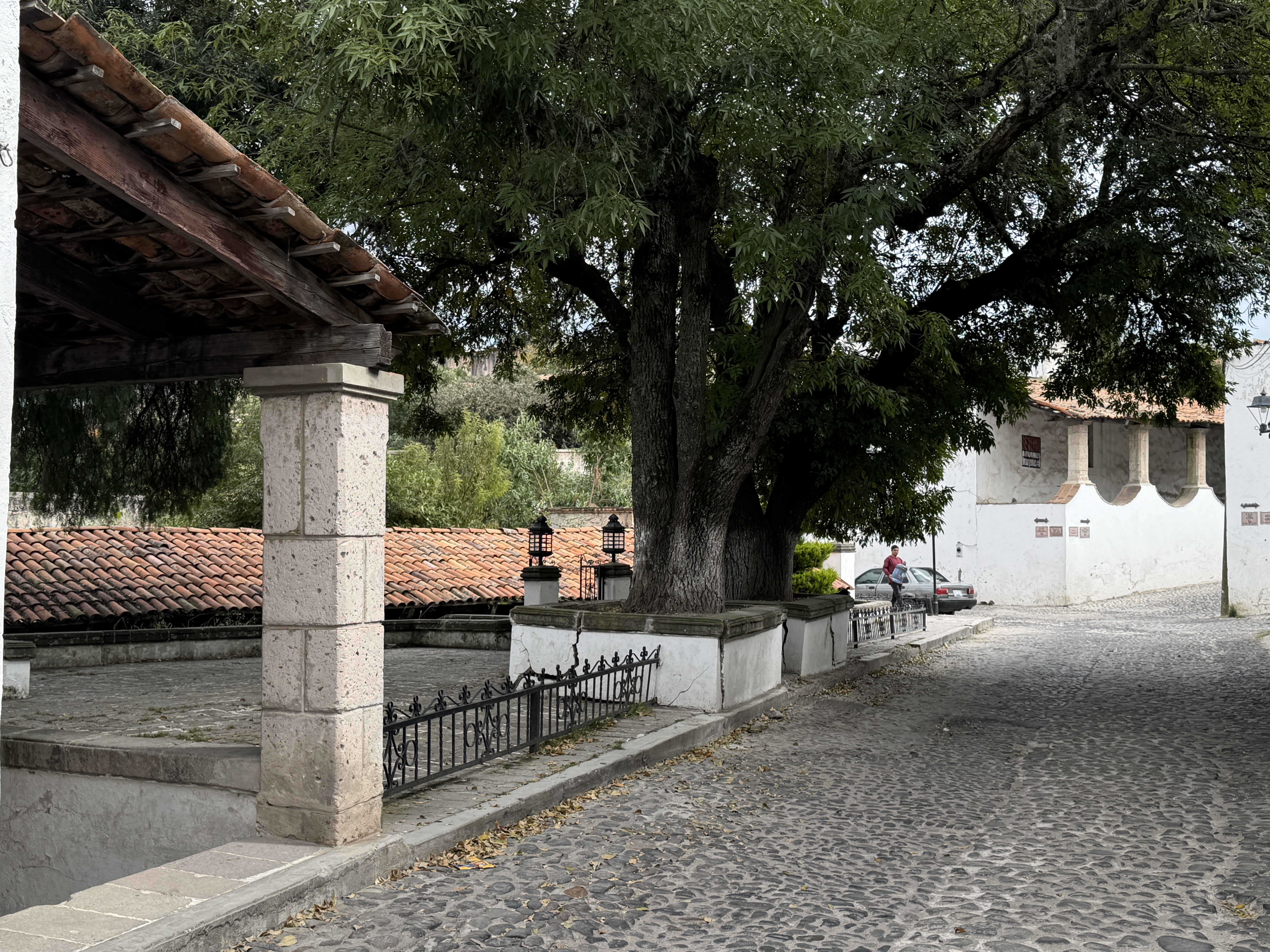
From its origins, the primary activity of the town was related to hosting, as inns were established at various points along its route to accommodate muleteers, travelers, missionaries, merchants, explorers, and so on, as well as horses and carts traveling along the Royal Inland Road.
As the importance of the route grew, Aculco prospered, and the presence of old inns in its urban fabric bears witness to the origins of this prosperity. By the 18th century, the inhabitants of Aculco were predominantly engaged in muleteering, and the owners of the major haciendas in the area were among the large owners of mule trains in the kingdom. Before the War of Independence, no fewer than 80 mule trains belonging to Aculco residents traveled theRoyal Inland Road, and Aculco muleteers reached as far as the cities of Durango and Chihuahua. Aculco had significant haciendas dedicated to cattle ranching, with a particular emphasis on producing horses used for transportation. Muleteering was not only a major business for those directly involved in it but also led to many other activities that developed at its expense. Regarding the nature of the goods transported by Aculco muleteers, we can mention wool, tobacco, textiles, cash, gold and silver bars, gunpowder, grains, cigars, mercury, pigs, and barley, among many other things.
The decline of the Royal Inland Road in these areas came in 1882 with the advent of the railway.