

Durango
Categoria
Estado
Parte de
México
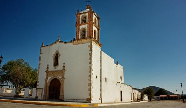
Lugares relacionados
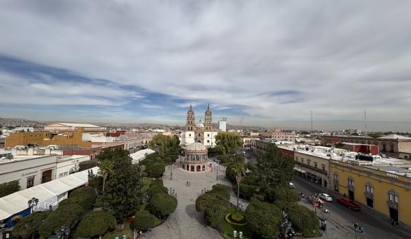


Parque Guadiana, vista parcial
Fotografías


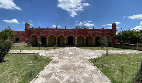
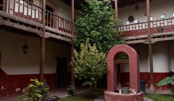
Patio interior del Colegio de Jesuitas
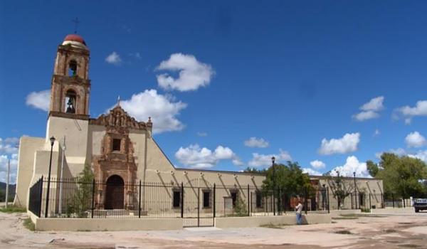
Fotografías


Glifos Núm. 48 (2026)
Glifos
Glifos Núm. 48 (2026)
Números de revista
