
Lugares relacionados
Tipo de contenido: Lugar
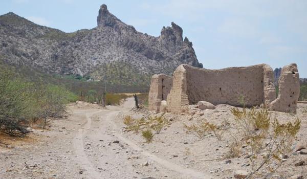
The stretch of the Royal Inland Road between Nazas and San Pedro del Gallo is located in an area that was part of the presidio line, on the borders of the Bolsón de Mapimí. It spans approximately fifty kilometers, connecting the Hacienda de San Antonio, the former Jesuit mission of Cinco Señores (now Nazas), and the presidio of San Pedro del Gallo. These points were part of the route between Cuencamé and Parral and represented a day's journey on foot for travelers.
Tipo de contenido: Lugar
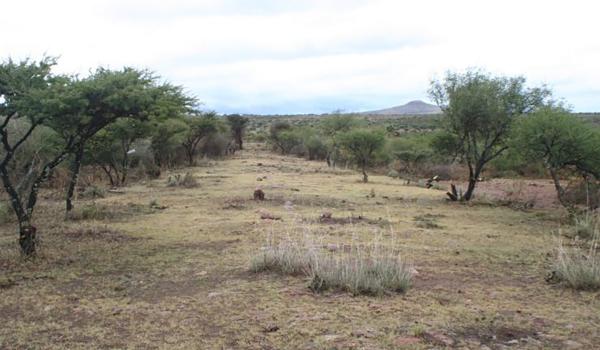
The need to transport silver extracted from the mines of Zacatecas to the central part of the country, particularly to Mexico City, for smelting and minting influenced the emergence of the stretch of the Royal Inland Road between the city of Zacatecas and the town of Ojocaliente.
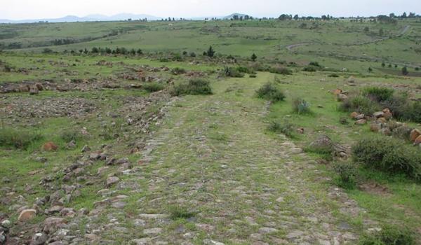
Tipo de contenido: Lugar
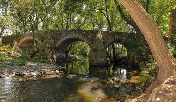
The stretch between the Puente de La Colmena and the Ex Hacienda de la Cañada connected the towns of Tepeji del Río and Jilotepec and still retains both the original route layout and the cobblestone pavement made of round stones. This 3.5 km long route is flanked by small stone walls and large pirules (a type of tree).
Tipo de contenido: Lugar
During the early stages of the northward expansion into what would become New Spain, specifically between the 1520s and 1540s, the town of Aculco and its surroundings were a significant transit area for colonizers and missionaries. For this reason, this part of the Royal Inland Road was referred to as the "Gate of Tierra Adentro," through which the regular movement of merchants, officials, ranchers, and livestock took place.