


Ciudad y Puerto de Veracruz
Veracruz was the most important port in New Spain, as the place of import and export of goods from Europe and the Americas. Its strategic position meant it was built as a walled city to withstand the assaults of both pirates and foreign invasions. In the 20th century it expanded beyond its walls with the arrival of the railroad and modernity in general.
46_EN_652_ZMH_Veracruz_CiudadyPuertoDeVeracruz.wav
The territory occupied today by the city and port of Veracruz has been shaped as an urban center since the pre-Hispanic period. The first Spanish expedition reached Veracruz in 1518. A year later, Hernán Cortés disembarked here and on April 22, 1519, on the beaches of Chalchihuecan, facing the islet today known as San Juan de Ulúa, he founded the first town council of New Spain: the Villa Rica de la Vera Cruz. The choice of the site reflected the tactical requirements for exploration of the newly discovered territory.
Months later, Cortés decided to transfer the settlement to a place near Quihauixtlan, where it remained until 1524. At the end of the 16th century, the city of Antigua Veracruz was switched to Nueva Veracruz. The royal certificate of 1615 granted it the rank of city and determined its street plan.
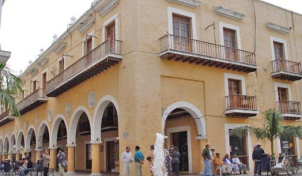
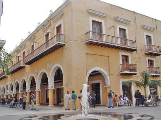
The urban space was organized around a plaza facing the port, adjacent to the dock (today the Plaza de la República) and a plaza mayor, surrounded by the council houses, the church and the aristocratic houses, formed of arched colonnades. Around these, the plots of land allocated for commerce and housing were laid out, and the four streets that depart the plaza were plotted, oriented towards the four cardinal points.
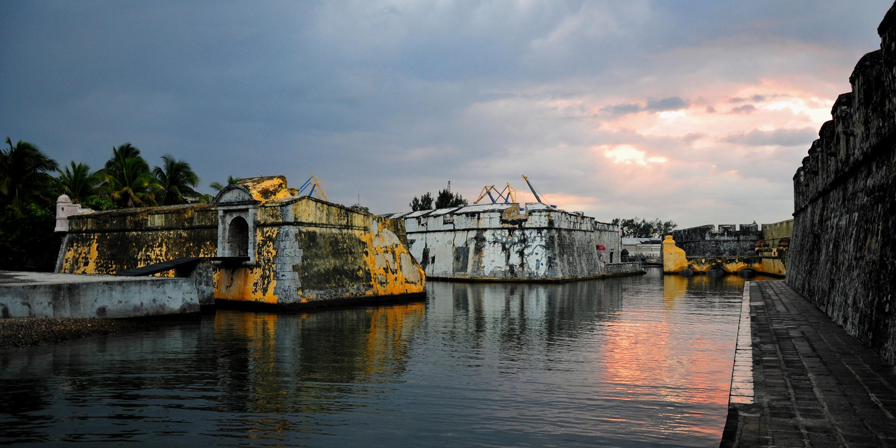
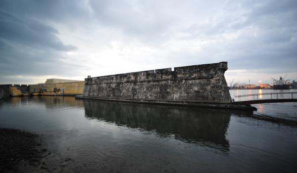
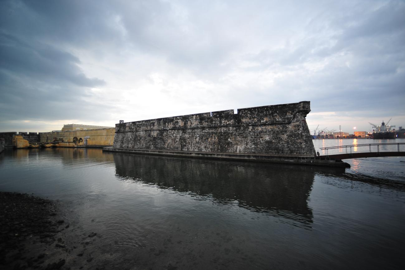
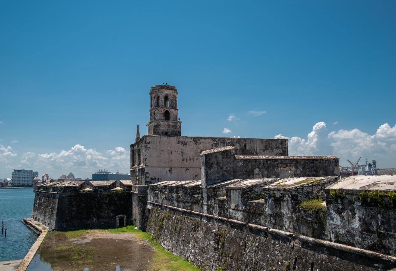
In 1635 began the construction of fortifications facing the sea for the defense of the city; the first was the Baluarte de la Pólvora, today known as Santiago. In 1662 the defensive system had nine bastions: seven facing inland, San Juan, San Mateo, San Javier, Santa Gertrudis, Santa Bárbara, San Fernando and San José, and two completing the sea defenses, Concepción and Santiago. The city also had two gates: one on the road leading to Mexico City, and the other, known as Puerta de la Merced, leading to the district of the same name, located outside of the city. Nevertheless, Veracruz fell victim to pirate attack in 1683, obliging it to strengthen its defensive system.
At the end of the 19th century, the city underwent dramatic changes when its walls were demolished. This was due to the fact that in 1873, when the Mexican railroad first opened, the need to expand the port of Veracruz became evident. Thus, in July 1880 the demolition of the walls began, and two years later the comprehensive project for port improvement commenced.
Veracruz has been declared ‘four times heroic’ for its role in defending national sovereignty on this number of occasions. The first time was in 1825, after the declaration of Mexican Independence: a Spanish garrison that had retreated to the fort of San Juan de Ulúa was defeated by the insurgent forces; the second, for combating the French invasion in 1838; the third, for defending against the U.S. invasion of 1847, and the fourth in 1914, for resisting the arrival of the U.S. troops when it refused to recognize the government of Victoriano Huerta.
Throughout its history, Veracruz has distinguished itself as a commercial port open to international trade and because it was the starting point for sending goods onwards to Mexico City. Today, it has established itself as an important center for tourism thanks to its beaches, its seafood-based cuisine, and above all its renowned Carnival, which is held every year in February and March, prior to Easter.
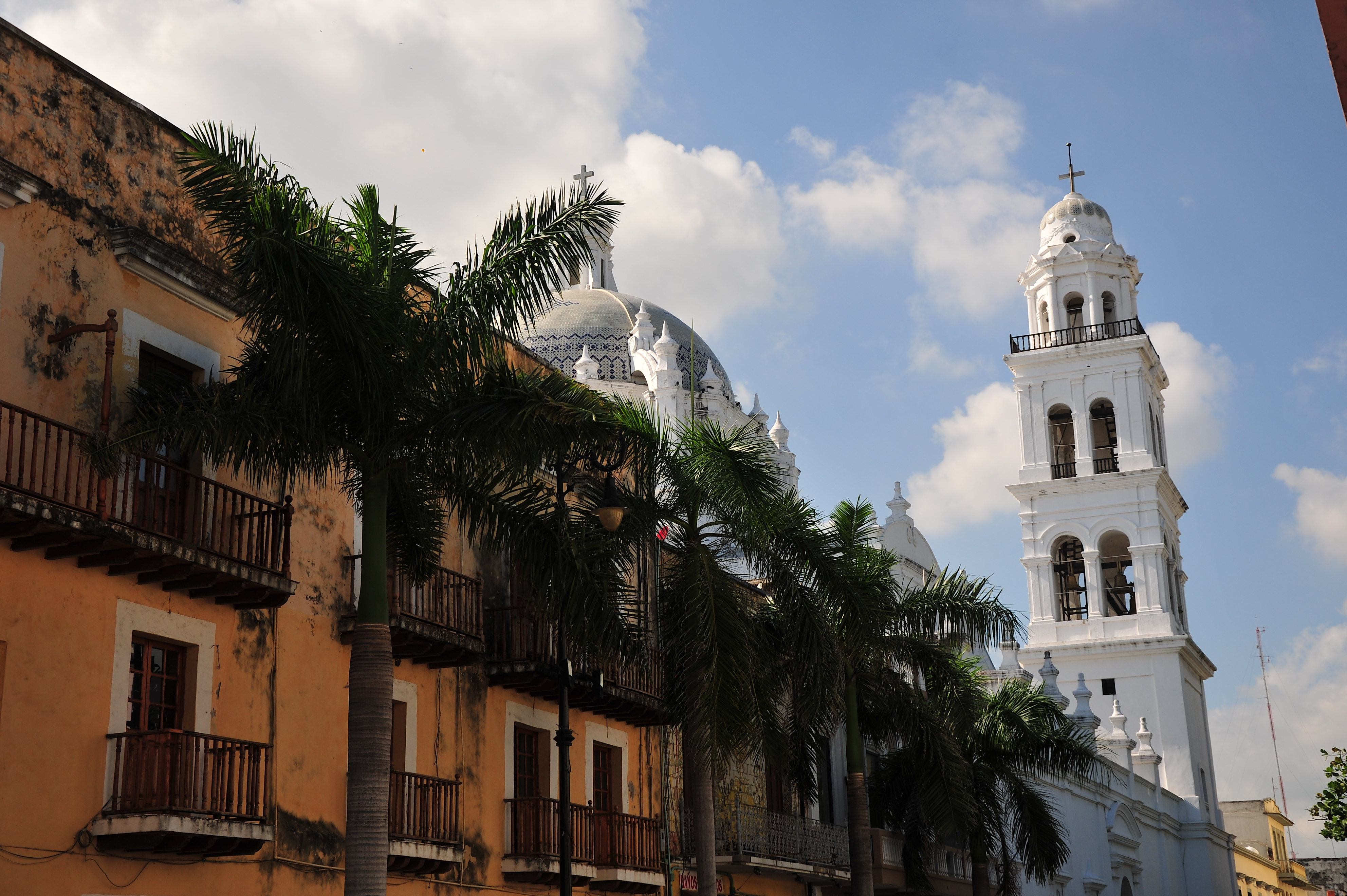
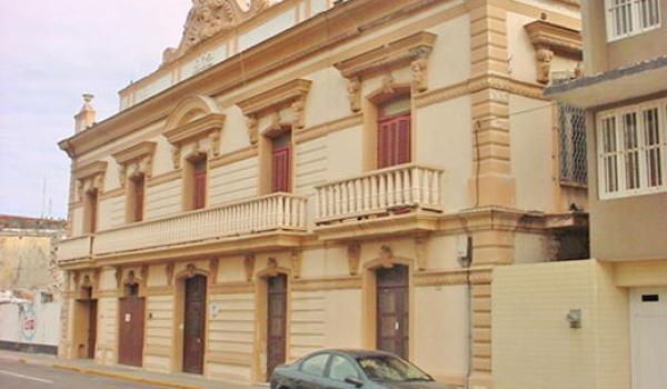
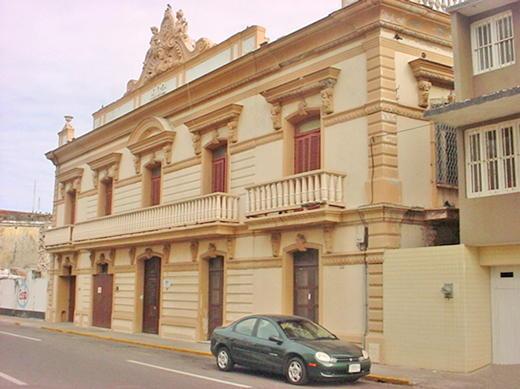
The architecture of the city is very varied. In the early 17th century, all the buildings in Veracruz were built of wood, which is why it was known as the “city of boards.” Subsequently, as a result of numerous fires, buildings were constructed with muca or múcara stone as well as using coral from the reefs. In the first half of the 18th century the principal religious buildings were built using muca stone and timber beams, such as the complexes of San Francisco, the Compañía de Jesús, Belén, Santo Domingo and La Merced; the latter collapsed in an earthquake.
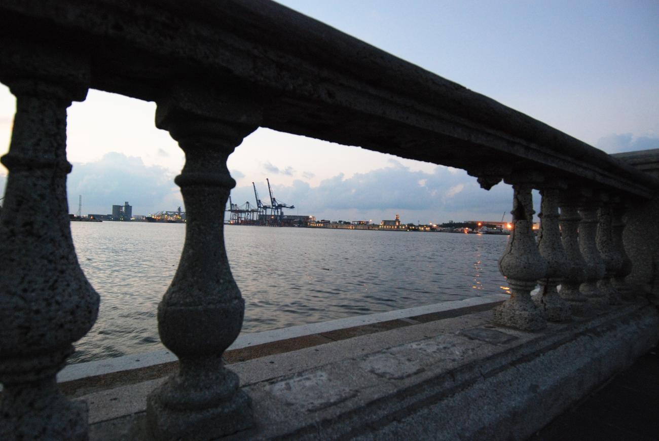
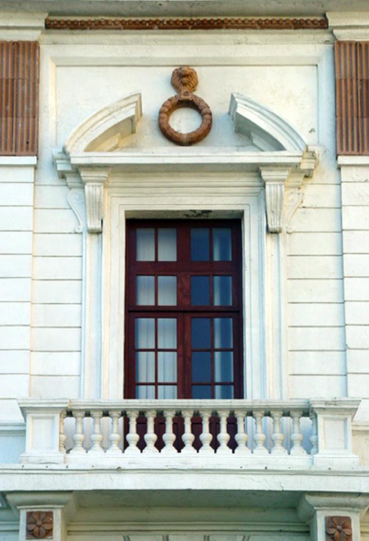
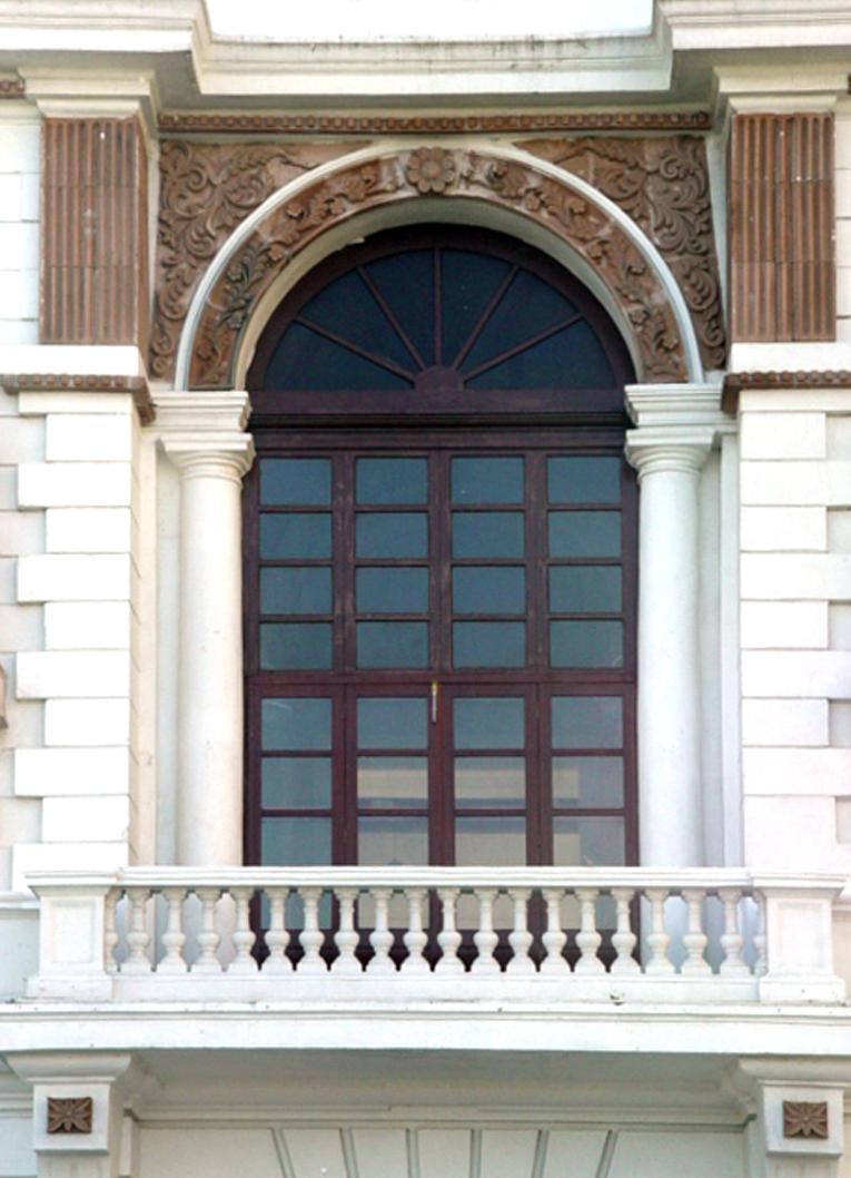
The mansion houses raised in the 18th and 19th centuries were in Andalusian style, and express sobriety and solidity. Notable among constructions from this period are the Portal de Miranda and the Casa de la Condesa de Vergara. Meanwhile, the arcades or colonnades represent the typical architecture of the city which, due to its warm climate, requires shaded areas open to the breeze to protect pedestrians from the sun. The city is also distinguished by its malecón or coastal esplanade, inaugurated in 1902 by President Porfirio Díaz. This part of the city itself included diverse constructions, including a garden with a bandstand and public and private buildings such as the Lighthouses Building and the Bank of Mexico.
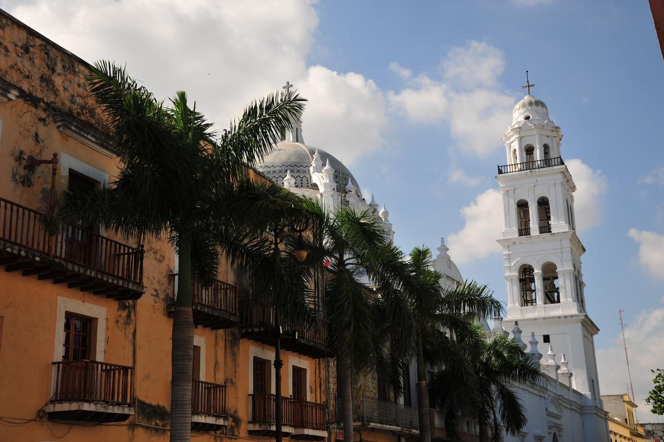
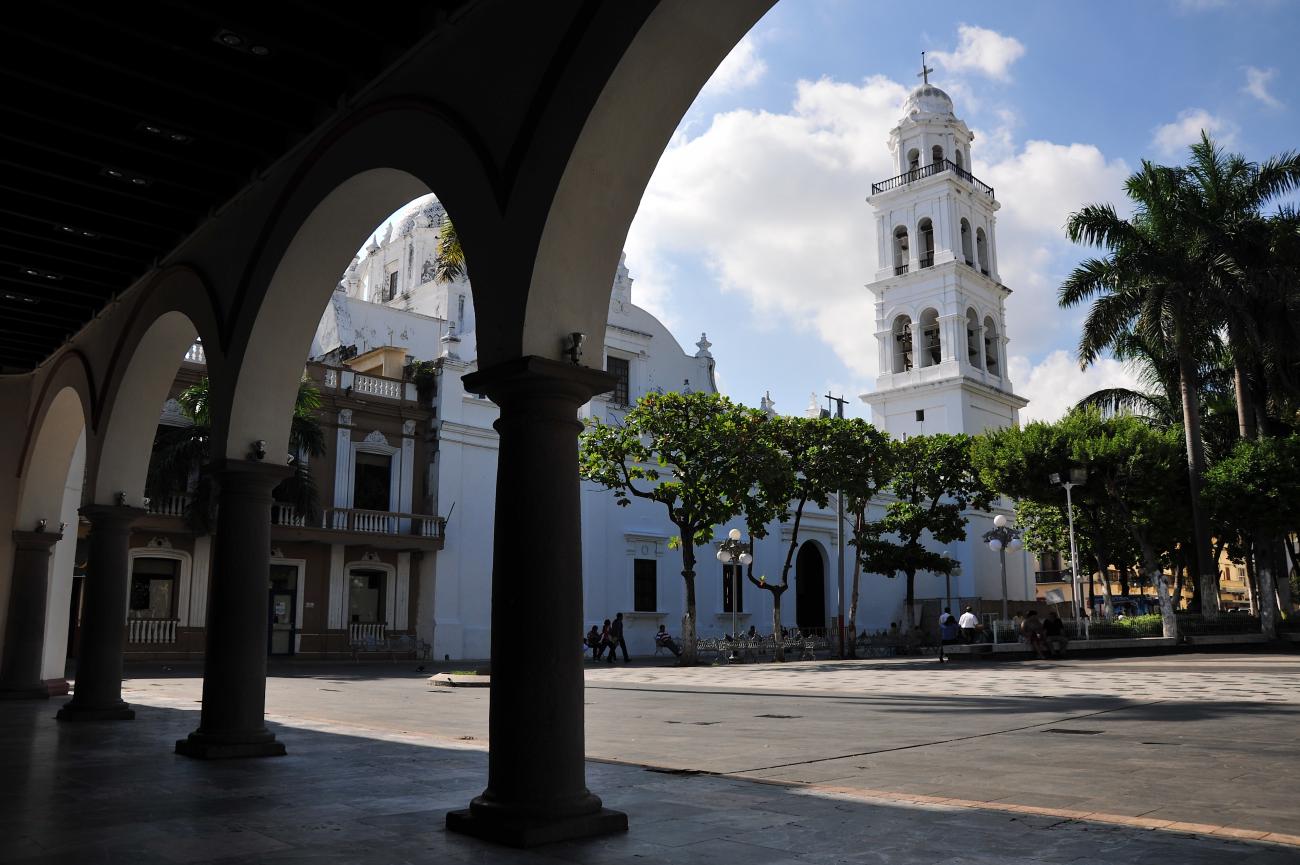
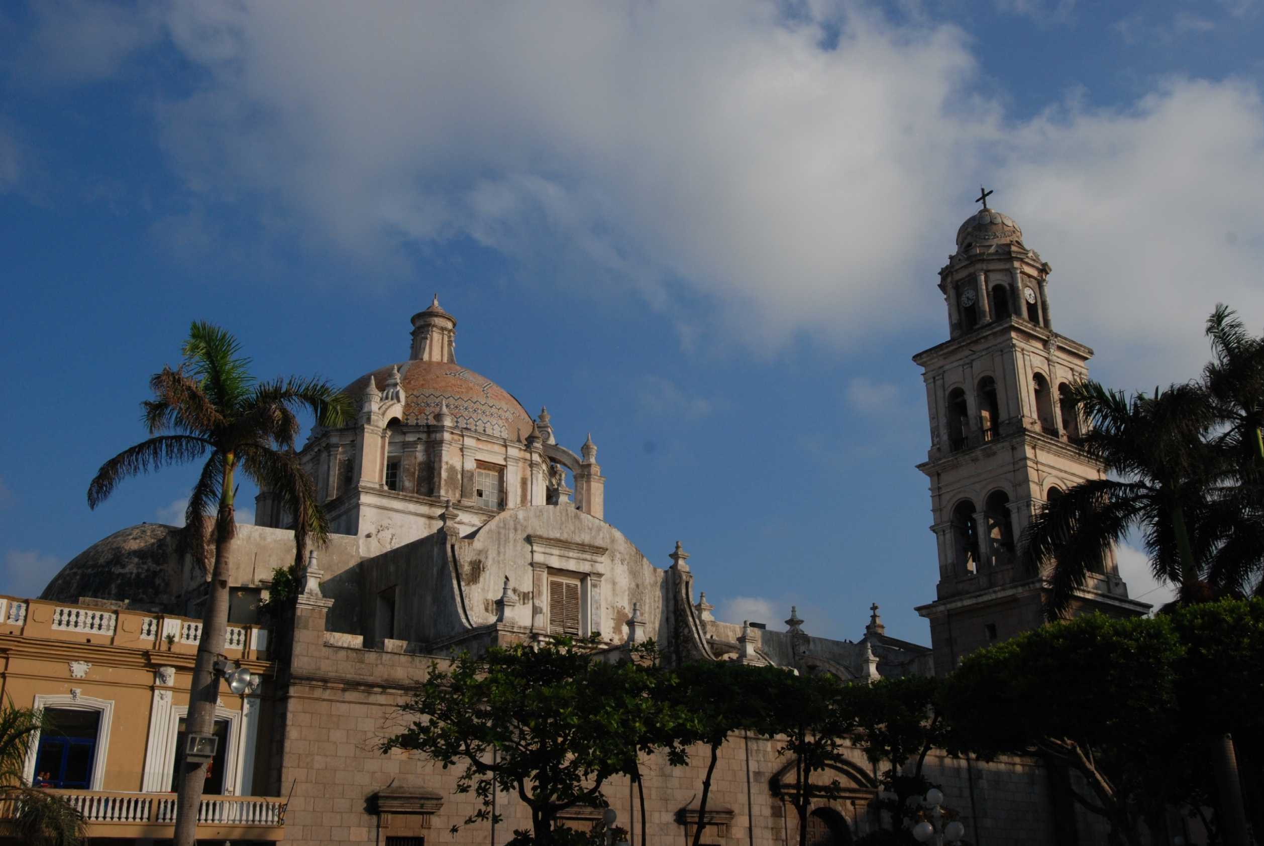
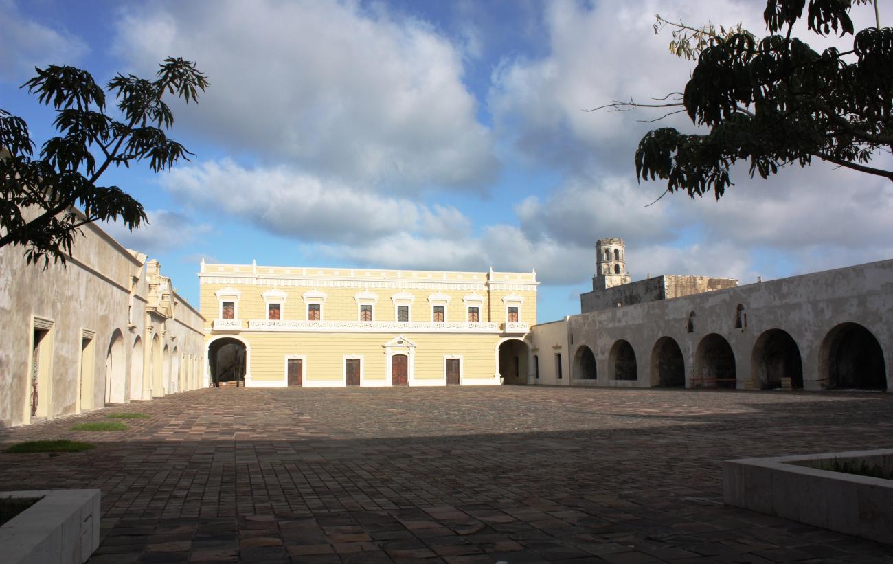
The Zone of Historical Monuments, declared on March 1, 2004, comprises an area of 1.5 km2 and encompasses 170 city blocks, with historical buildings constructed between the 16th and 20th centuries. Several of these were intended for religious worship, including most notably: the parish church of Nuestra Señora de la Asunción, the chapel of Santo Cristo del Buen Viaje, the church of La Pastora and the former monasteries of San Francisco, Santo Domingo, San Agustín and Betlemitas, the current headquarters of the Veracruzan Cultural Institute.
There are also buildings of historical interest intended for public service and use by the civil and military authorities, including the city hall; the customs, post and telegraph building; the former Zamora hospice, now the City Museum, and the Former Naval School. Of the defensive system of the city the Baluarte de Santiago, dating from the 17th century is still preserved, together with the 16th-century San Juan de Ulúa Fort, as well as the Insurgentes Veracruzanos malecón or coastal esplanade and the General Lighthouses Building or Venustiano Carranza Lighthouse. The remaining buildings are private civilian constructions from the 18th century onwards, which present architectural styles typical of the region and of the various building periods.
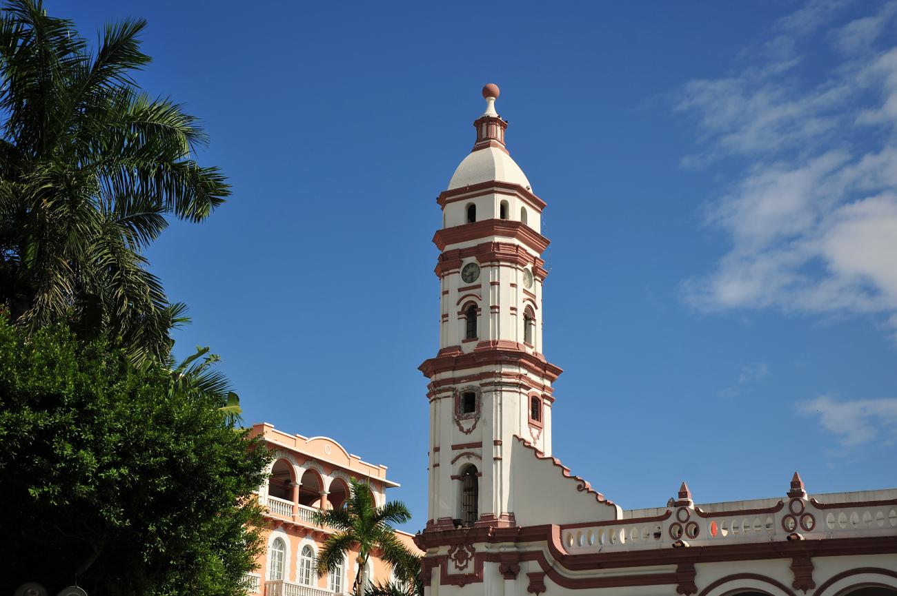
The city retains the layout first established in the 17th century, and an urban profile comprising buildings mainly of two stories, above which the outlines of the religious buildings rise, and punctuated by numerous passageways from the vice-regal period, including those named Campana, Lagunilla, Francisco Javier Clavijero and H. de Nacozari. Several plazas, parks and gardens remain that correspond to the original city plan, including the Zócalo or Plaza de Armas, the M. Gutiérrez Zamora and Ciriaco Vázquez parks, and the Plaza de la República.

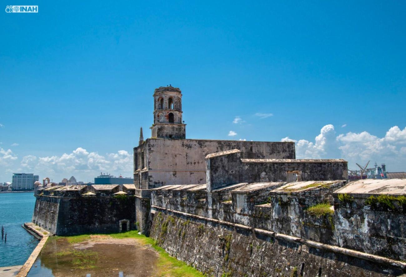
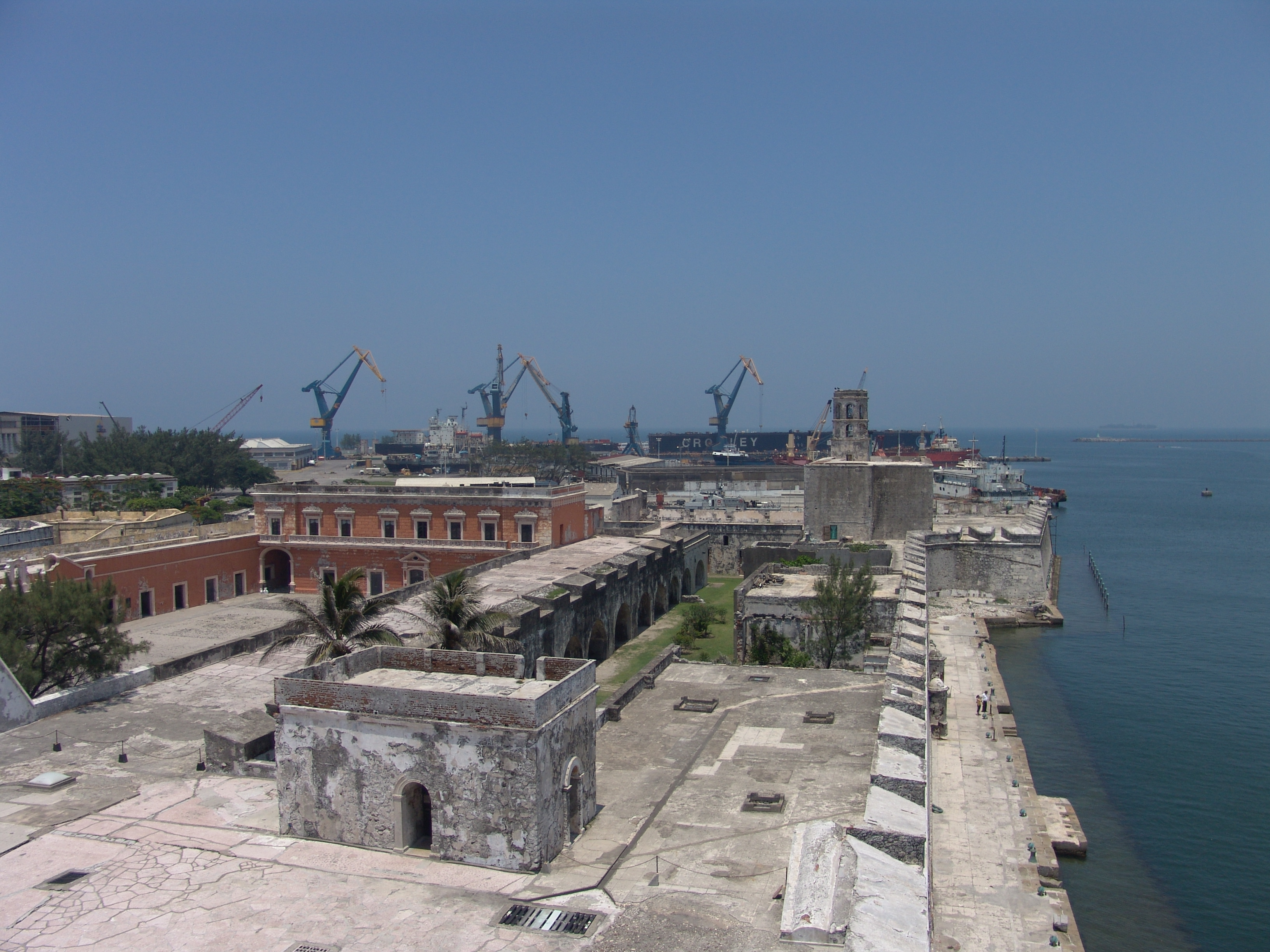
Fuerte de San Juan de Ulúa
After the arrival of the Spanish in 1537, the islet of San Juan de Ulúa was fortified to defend the port from pirate attacks. A small tower, several walls to defend the town, and a pier were built.
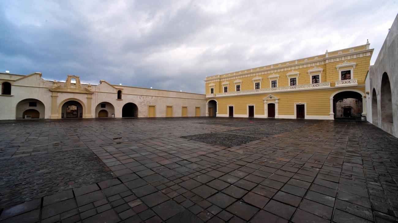


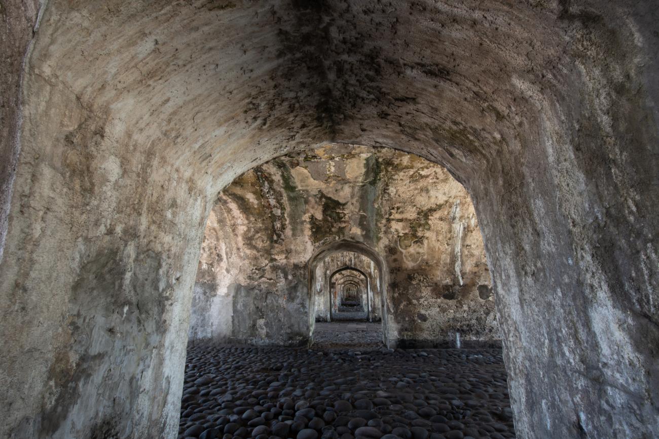
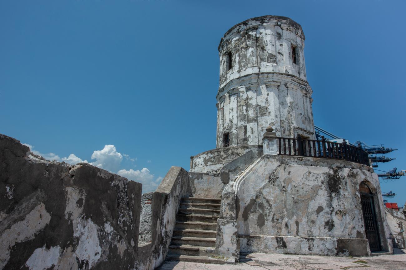
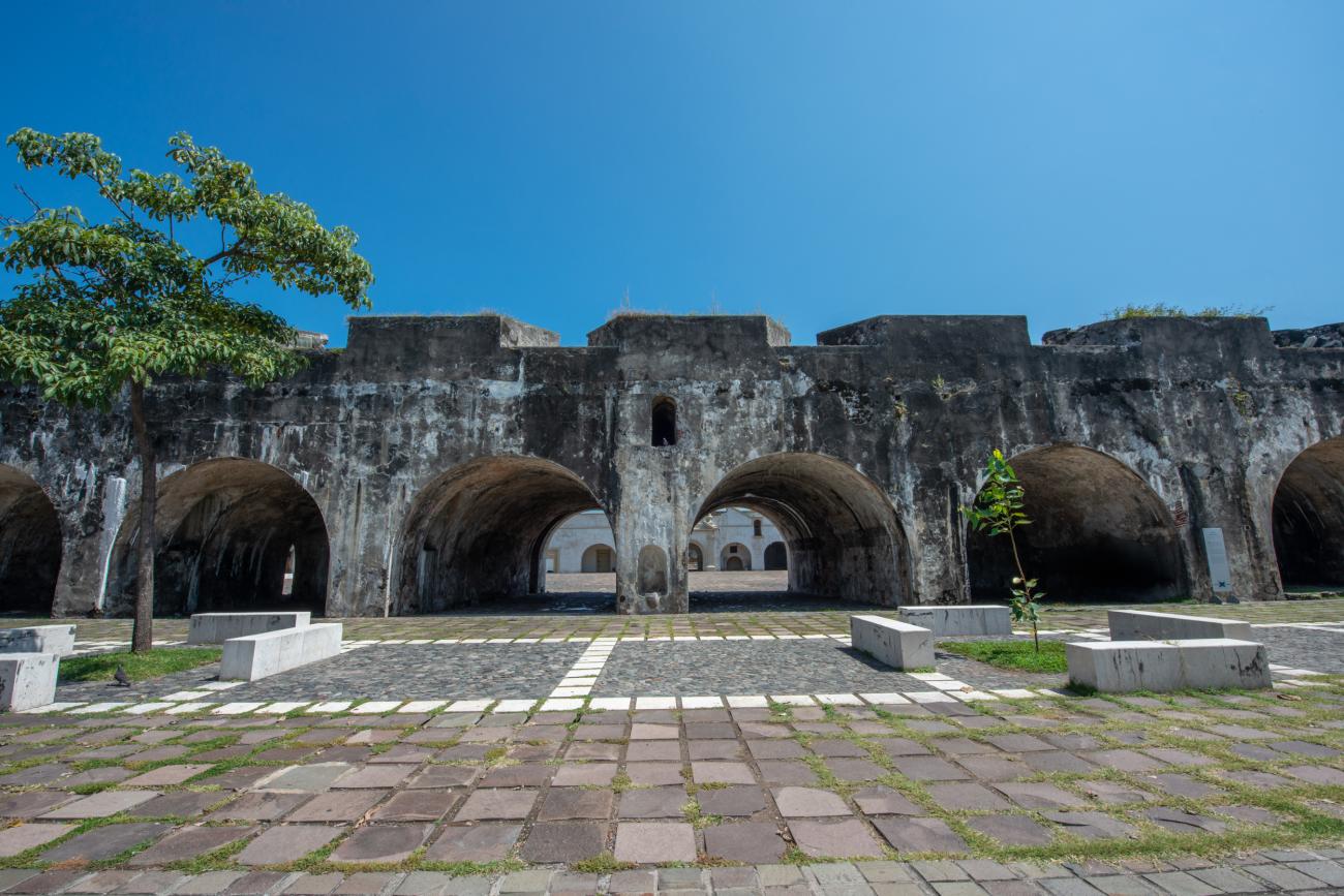
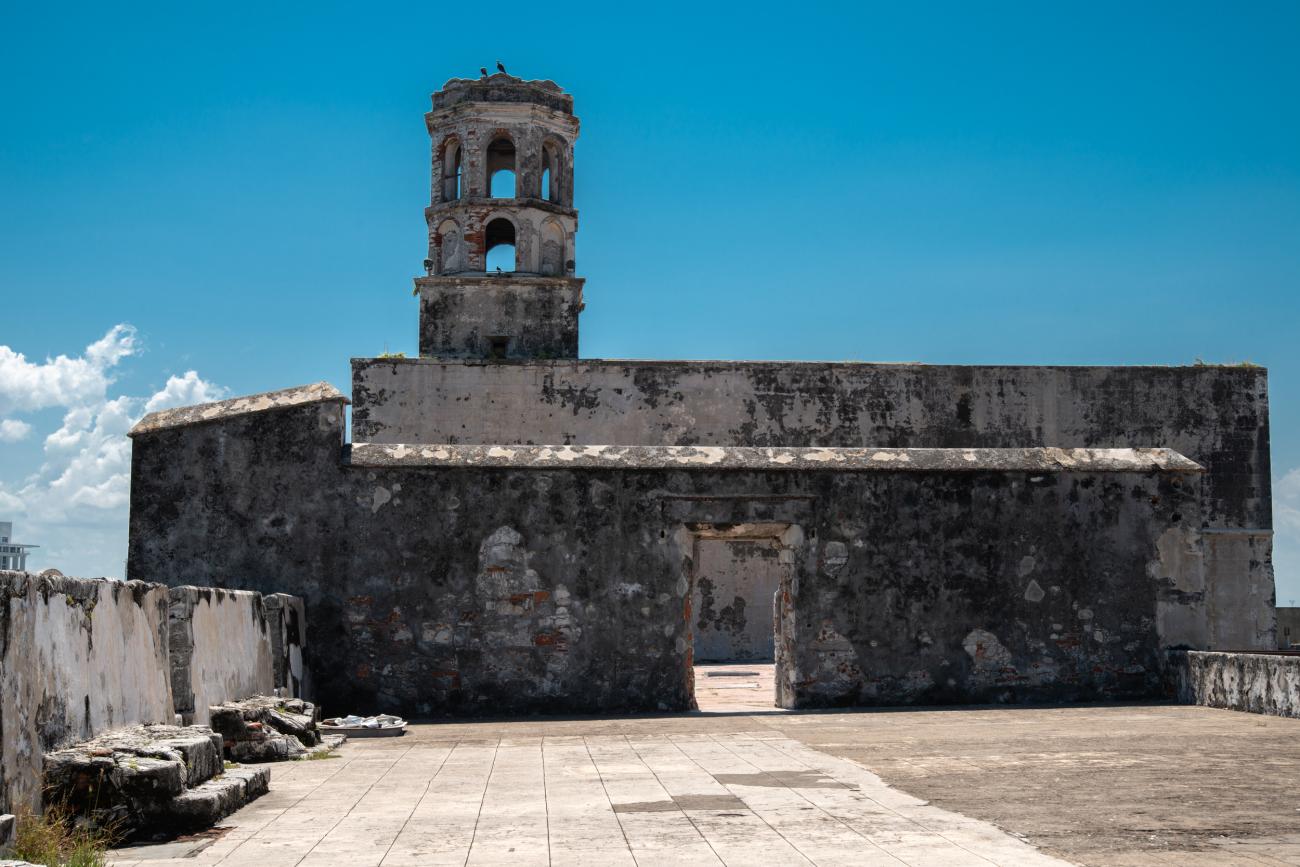
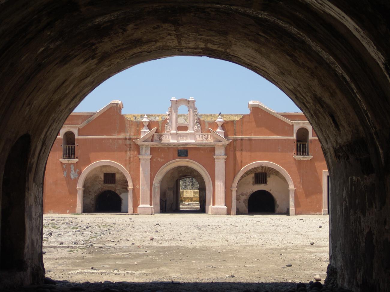
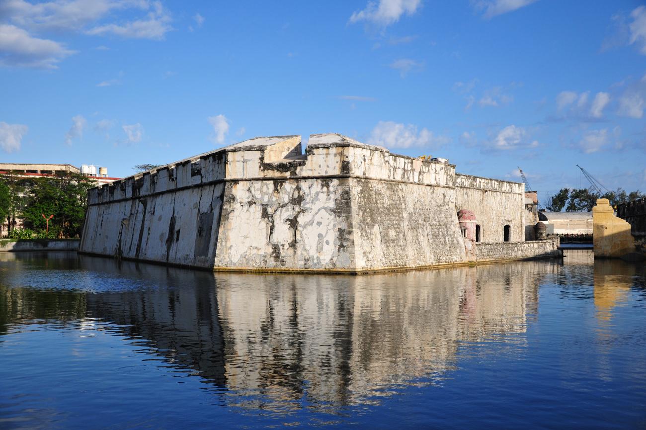
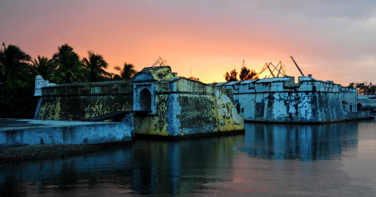
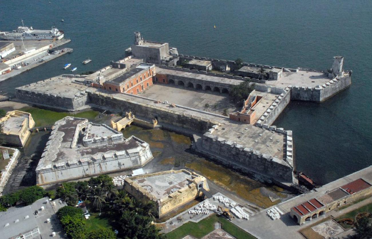

After the arrival of the Spanish in 1537, the islet of San Juan de Ulúa was fortified to defend the port from pirate attacks. A small tower, several walls to defend the town, and a pier were built.
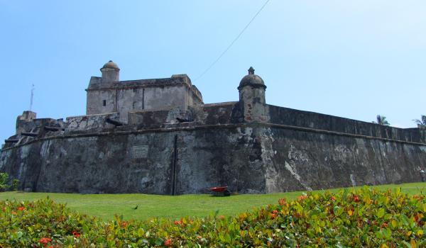
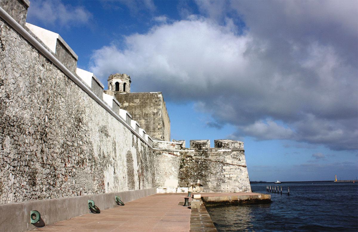
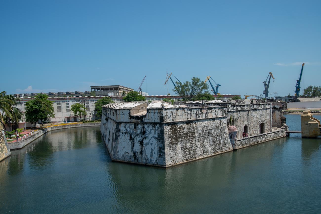
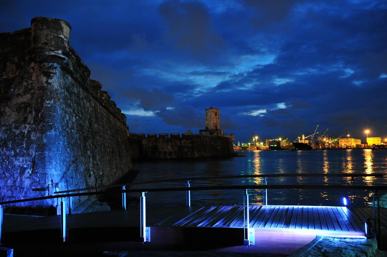
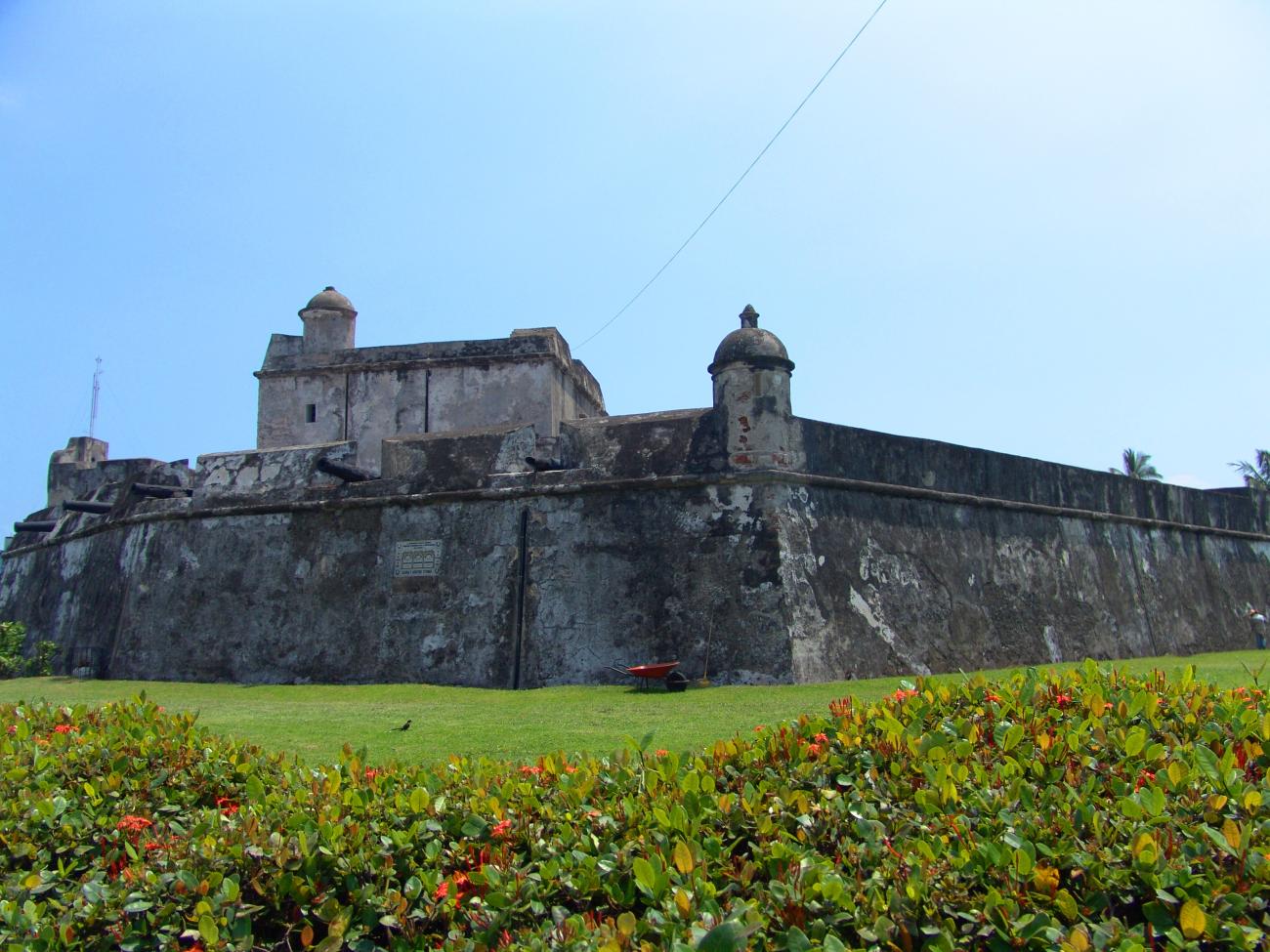
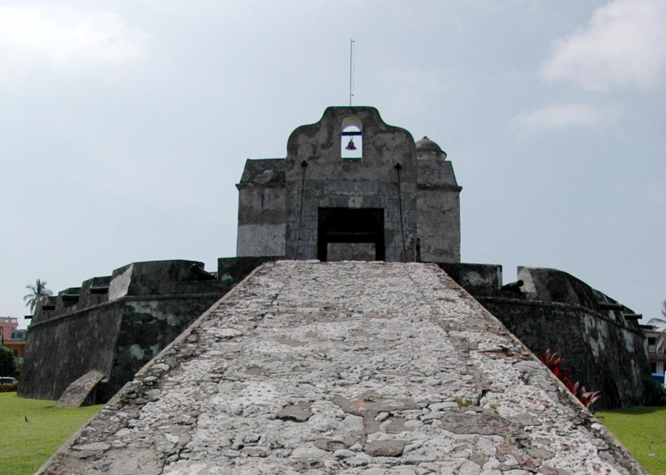
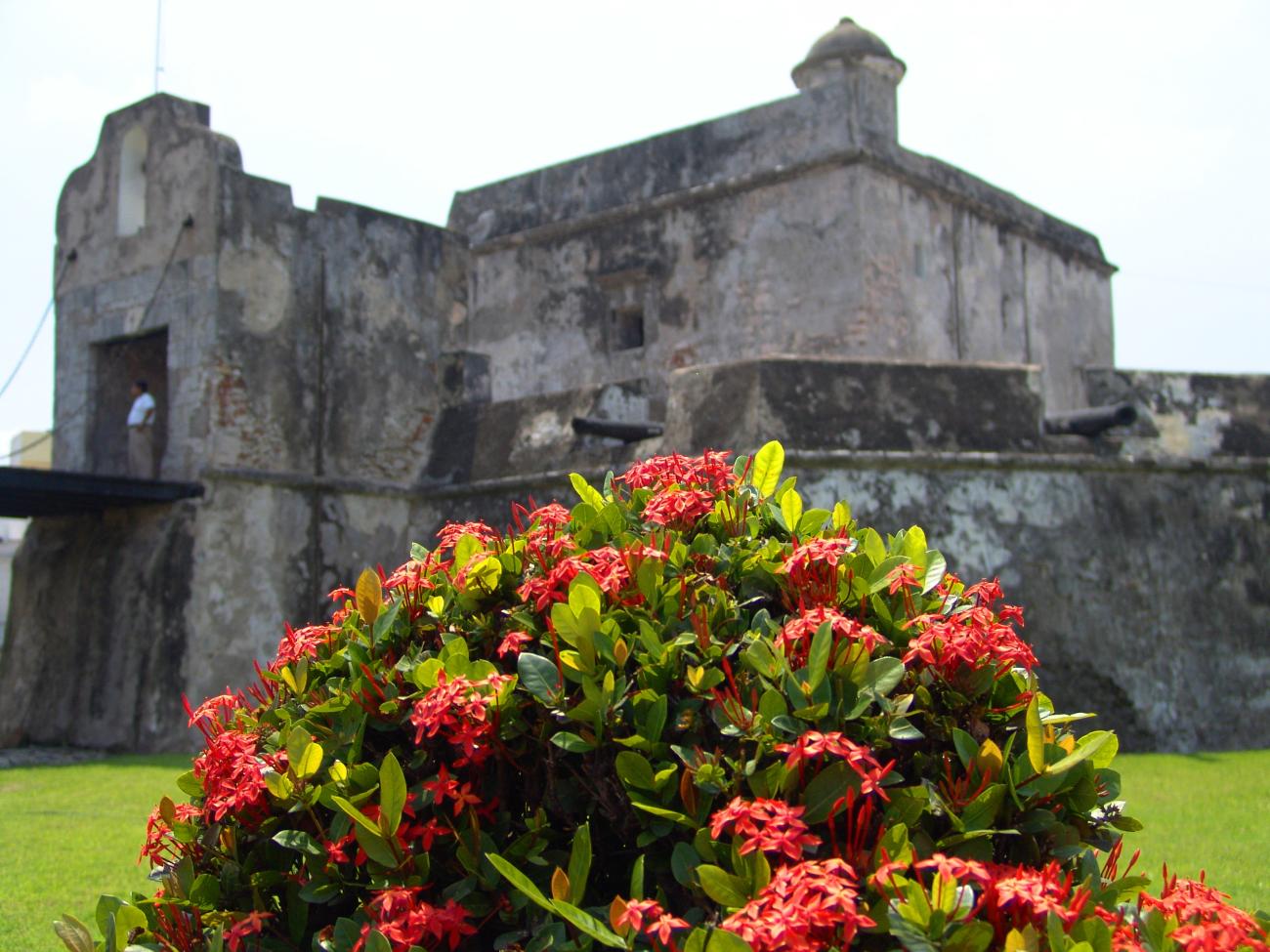
Baluarte de Santiago
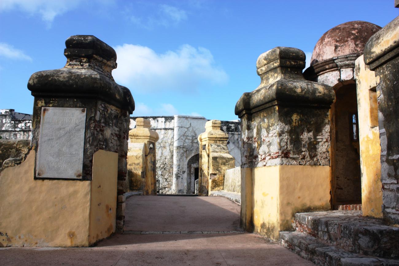
Part of the old wall that protected the port of Veracruz from pirate attacks, Santiago is the only bastion that remains. The Santiago Bastion was part of the wall that protected the port of Veracruz. It is the only bastion that survived the destruction of the wall. It was built in 1635.
Part of the old wall that protected the port of Veracruz from pirate attacks, Santiago is the only bastion that remains. The Santiago Bastion was part of the wall that protected the port of Veracruz. It is the only bastion that survived the destruction of the wall. It was built in 1635.
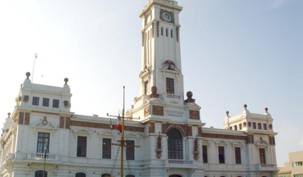
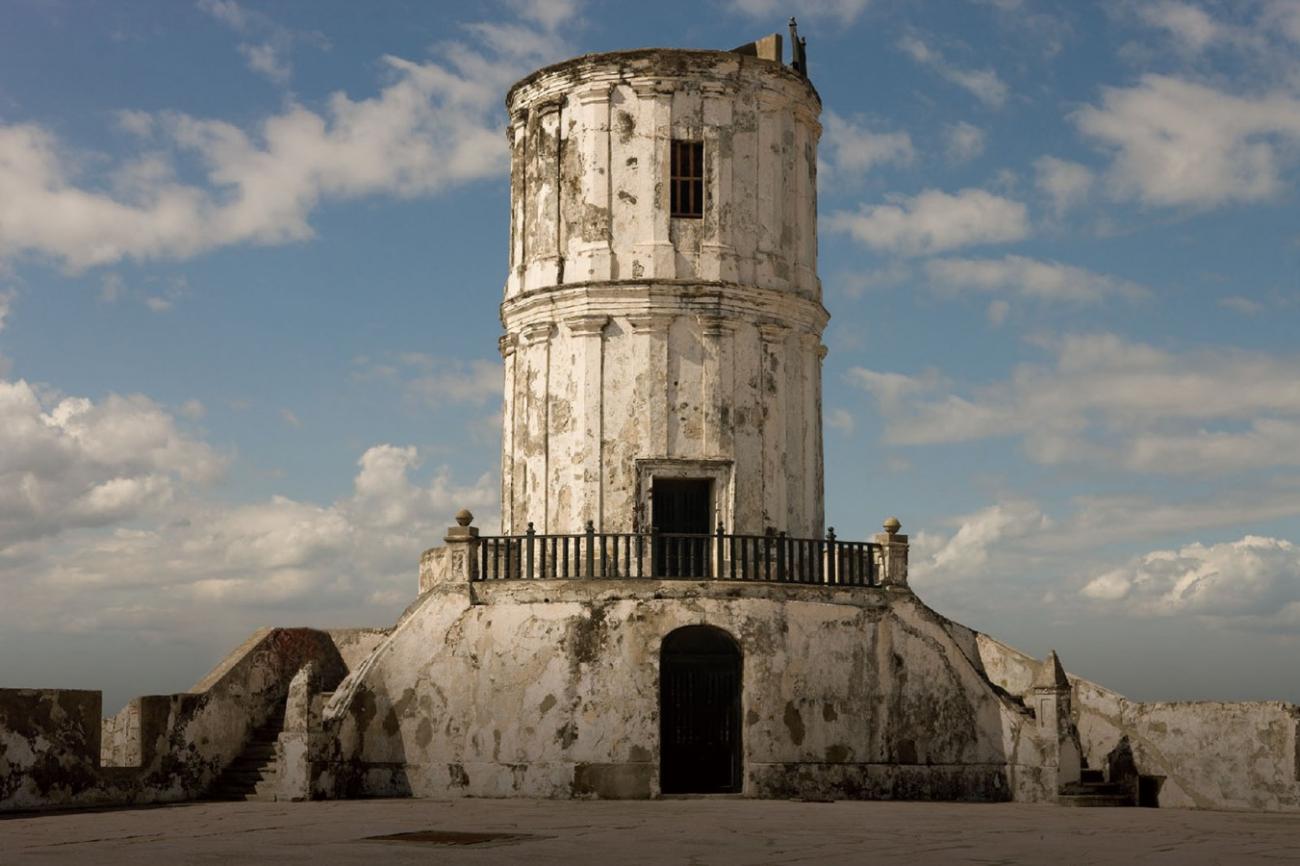
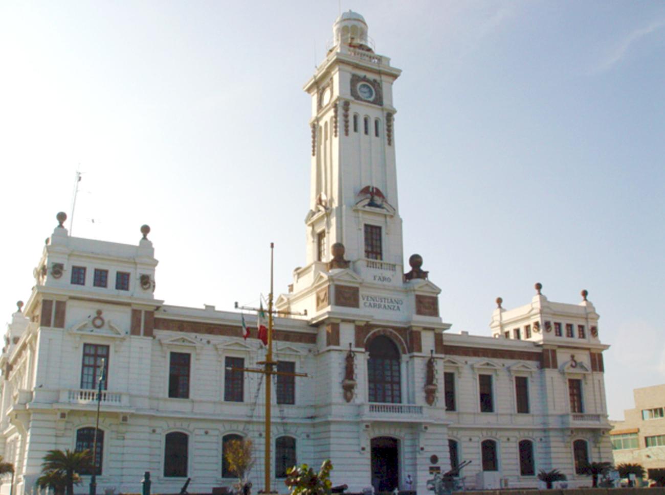
Faro Venustiano Carranza
A 19th-century building constructed in the neoclassical style. It was designed and built by military engineer Salvador Echegaray in collaboration with engineer Ernesto Lattiene.
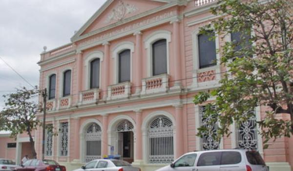
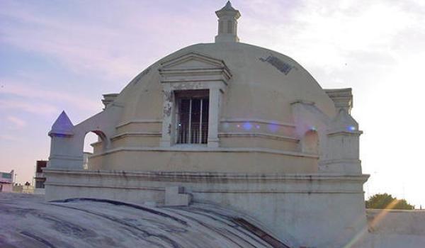
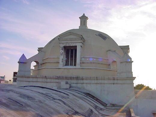
Beneficencia Española
Construction of this building began in the early 20th century, under the supervision of engineer Manuel Alvarado.
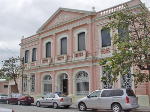
Construction of this building began in the early 20th century, under the supervision of engineer Manuel Alvarado. It features a variety of architectural styles, but the neoclassical style stands out, mixed with neo-Gothic details such as the roof and ogival dome of the first pavilion, and Baroque elements such as the staircase in the main building.
Convento de Santo Domingo
A 17th-century Baroque convent dedicated to Our Lady of Guidance. It has a Latin cross plan, crowned by a dome at the intersection of the nave and transept.
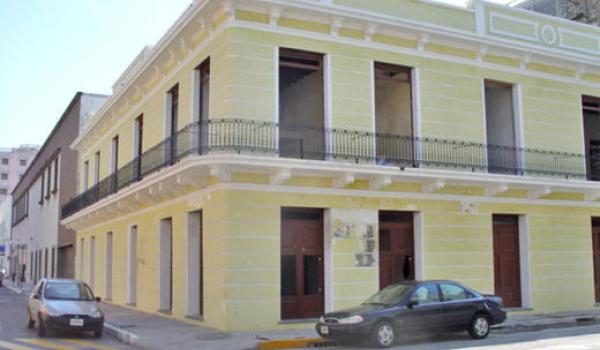
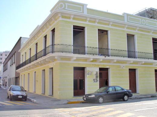
Portal de Miranda
An 18th-century building that combines different features due to its various functions, such as commerce and housing. The doorway is Baroque in style.
Bachilleres de Veracruz
Engineer Carlos A. Ferrer designed this school, which was completed in May 1910.
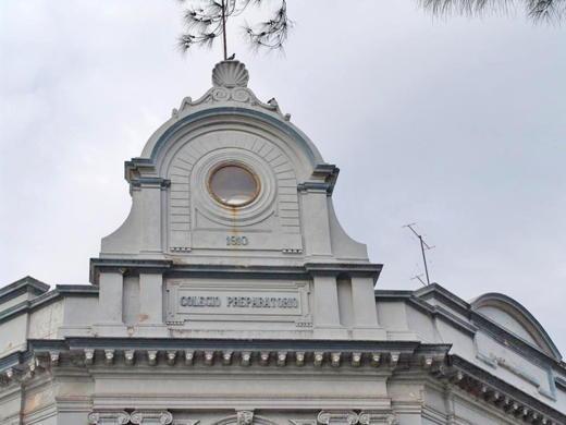
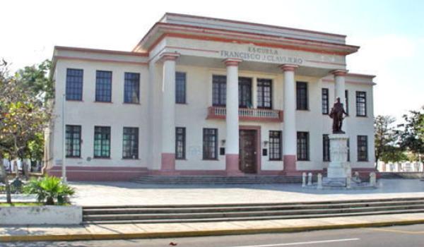
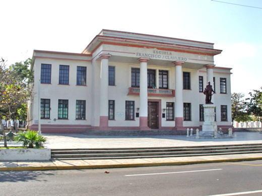
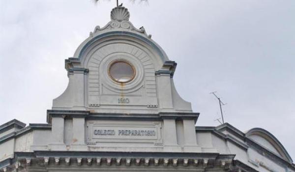
Escuela Francisco Javier Clavijero
This building was constructed at the end of the 19th century as the Veracruz cantonal school.