


San Antonio Calpulalpan
This city, first founded in the 16th century, was a strategic point for colonization, evangelization and trade between Mexico City and Veracruz. It was also the backdrop to numerous historical events during the war of Independence, the Reform war and the French Intervention. Its notable buildings include churches, the former monastery and the town hall.
29_EN_631_ZMH_Tlaxcala_SanAntonioCalpulalpan.wav
Its name comes from the Nahuatl calpollalpan or calpulli, which means “in the houses”. During the pre-Hispanic period it was first a Teotihuacan and later a Mexica settlement. When the Spaniards reached the center of Mexico and passed Calpulalpan, it was razed and burned, leading its inhabitants to flee to the mountains. It was not until 1548, when lands ceded by the king were handed over to the indigenous cacique Toto Quihuatzi that the town of San Antonio Calpulalpan was founded there.
This town was a strategic point for colonization and evangelization, and in 1570 it became one of the primary centers of indoctrination on the eastern edge of the Valley of Mexico. Thanks to its geographical situation, it was also a key stop on the Mexico-Veracruz trade route throughout the colonial period.
In the 19th century, Calpulalpan was the backdrop to numerous historical events. During the war of Independence, in 1811, the insurgent Mariano Aldama passed through Calpulalpan as he was organizing the struggle. The insurgents from the region include the figure of Eugenio Montaño, who died in 1815, close to Calpulalpan, fighting the royalist army. Once Independence was won, in 1821, the election of the first Town Council of Calpulalpan was called to elect the municipal president. During the Reform War, the town bore witness to the victory of Antonio Carbajal and the liberals against the conservative army of Cobos y Ordóñez. Furthermore, during the French Intervention, the municipality of Calpulalpan, together with Apan and Tepeapulco, was key to the Mexican army’s recovery of Puebla on 2 April 1867.
For various reasons, over the course of the 19th century, Calpulalpan shifted jurisdiction between the State of Mexico and the State of Tlaxcala. In October 1874, following an agreement signed between the two states, it concluded the process of becoming a permanent part of Tlaxcala.
During the Porfiriato period, there proliferated in Calpulalpan cereal, pulque and timber estates, and the production of barley crops came to prominence. With the Mexican Revolution, the haciendas fell into decline; in 1936, with the land reform, collective land tenure arrangements expanded in Calpulalpan, to the detriment of the haciendas of San Bartolomé, Malpaís and Mazapa. In 1937 the villa of Calpulalpan was elevated to the rank of city.
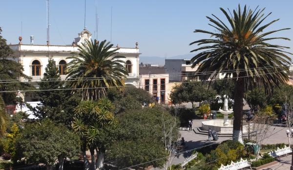
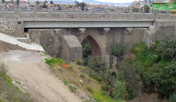
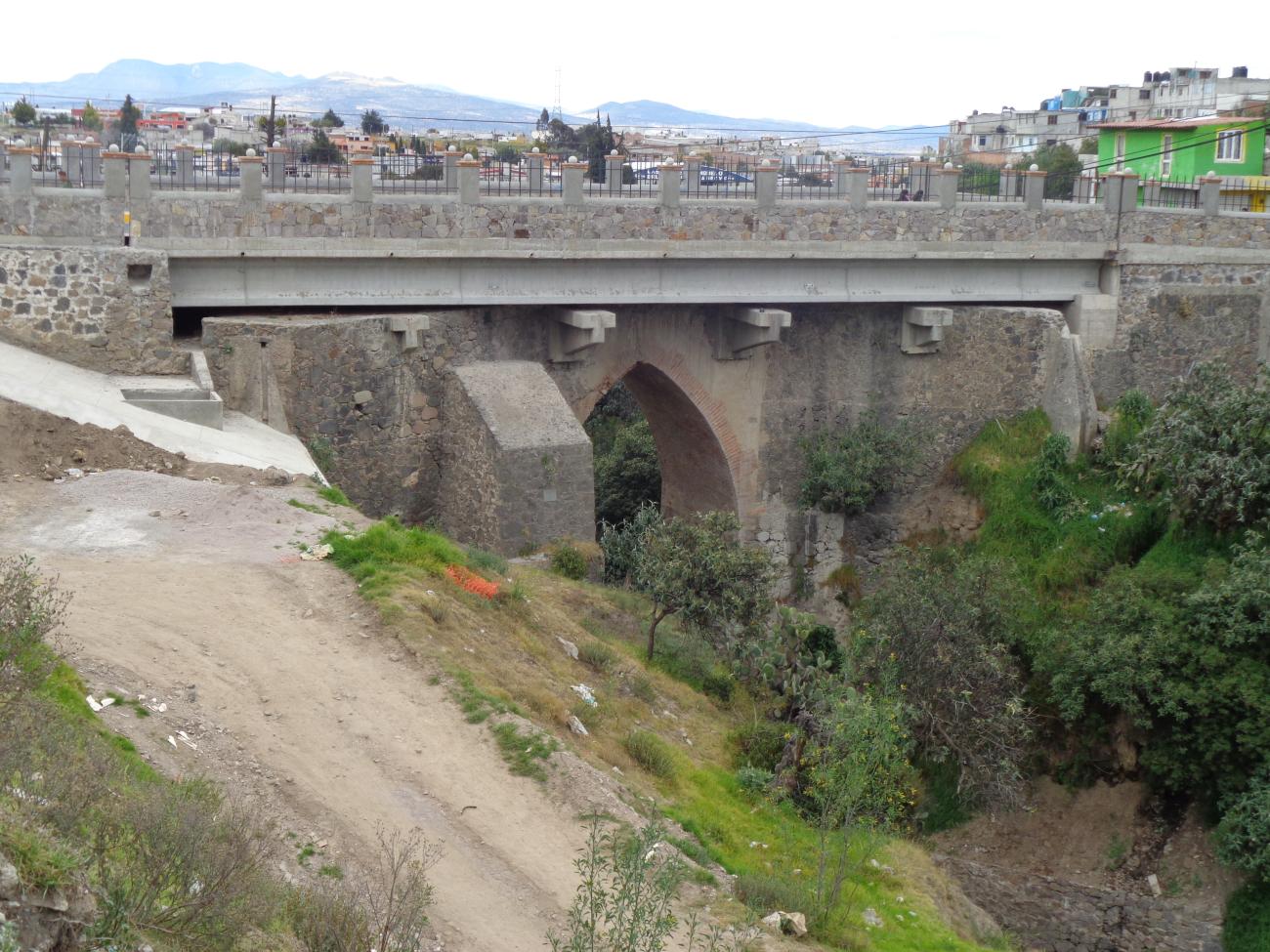
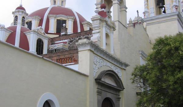
On 3 April 1986 it was declared a Zone of Historical Monuments, covering an area of 0.793 km2, formed by 29 city blocks that comprise buildings with historic and architectural value, built between the 16th and 19th centuries. Some of these were intended for religious purposes, such as the Church of San Antonio de Padua, the Former Convent of San Simón y San Judas, the Capilla de la Tercera Orden and the Calvario. Other buildings were used for educational, public service and welfare purposes, and for use by the civil, ecclesiastical and military authorities, including the city hall, the Benito Juárez bridge, and the canal works around the Atzompan fountain. The remaining buildings of interest are private residential buildings of architectural value. The zone also includes open spaces such as the Plaza de la Constitución and Plaza Santa Cecilia.

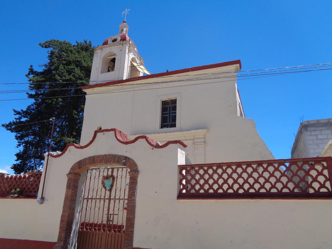
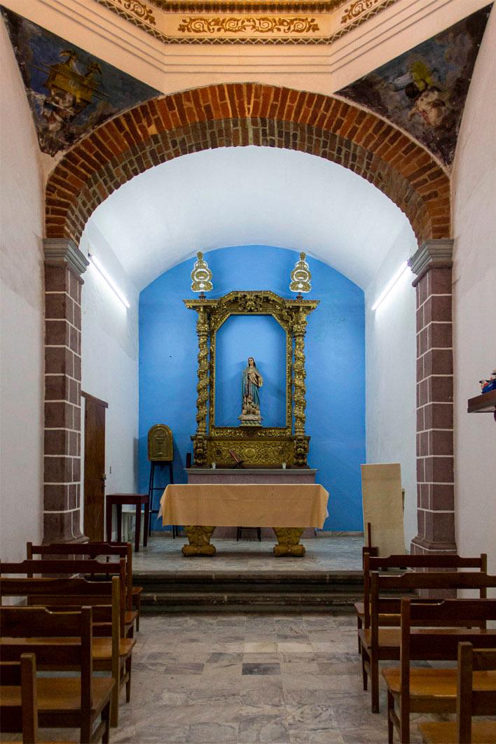
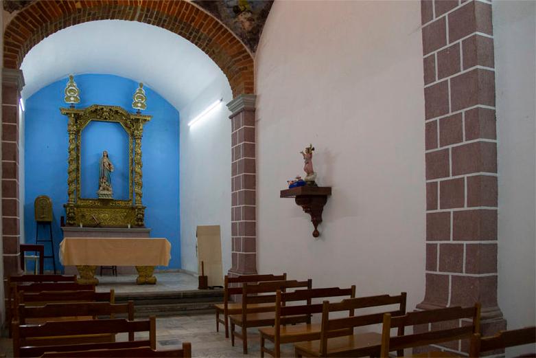
Capilla Expiatoria
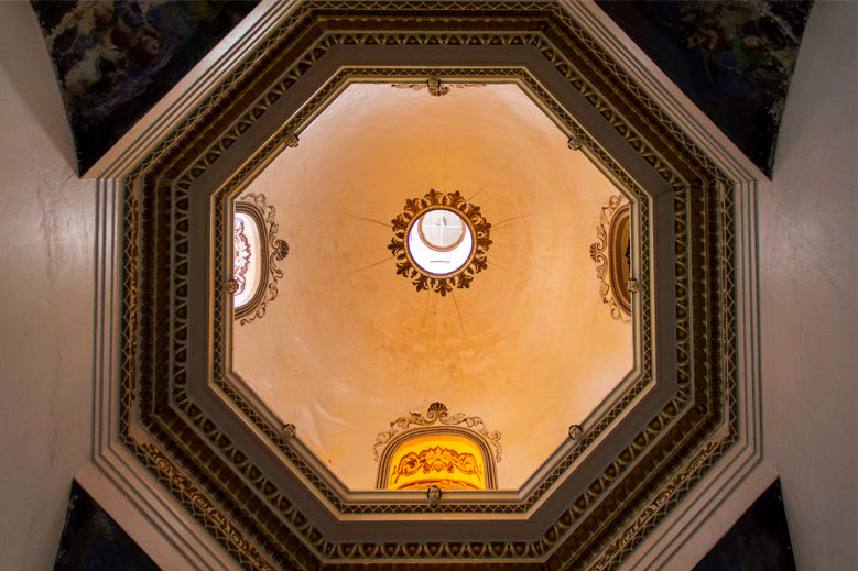
17th-century chapel that retains the neoclassical altarpiece and side altars. All the naves have richly elaborated domes made of bricks and lime and sand mortar.


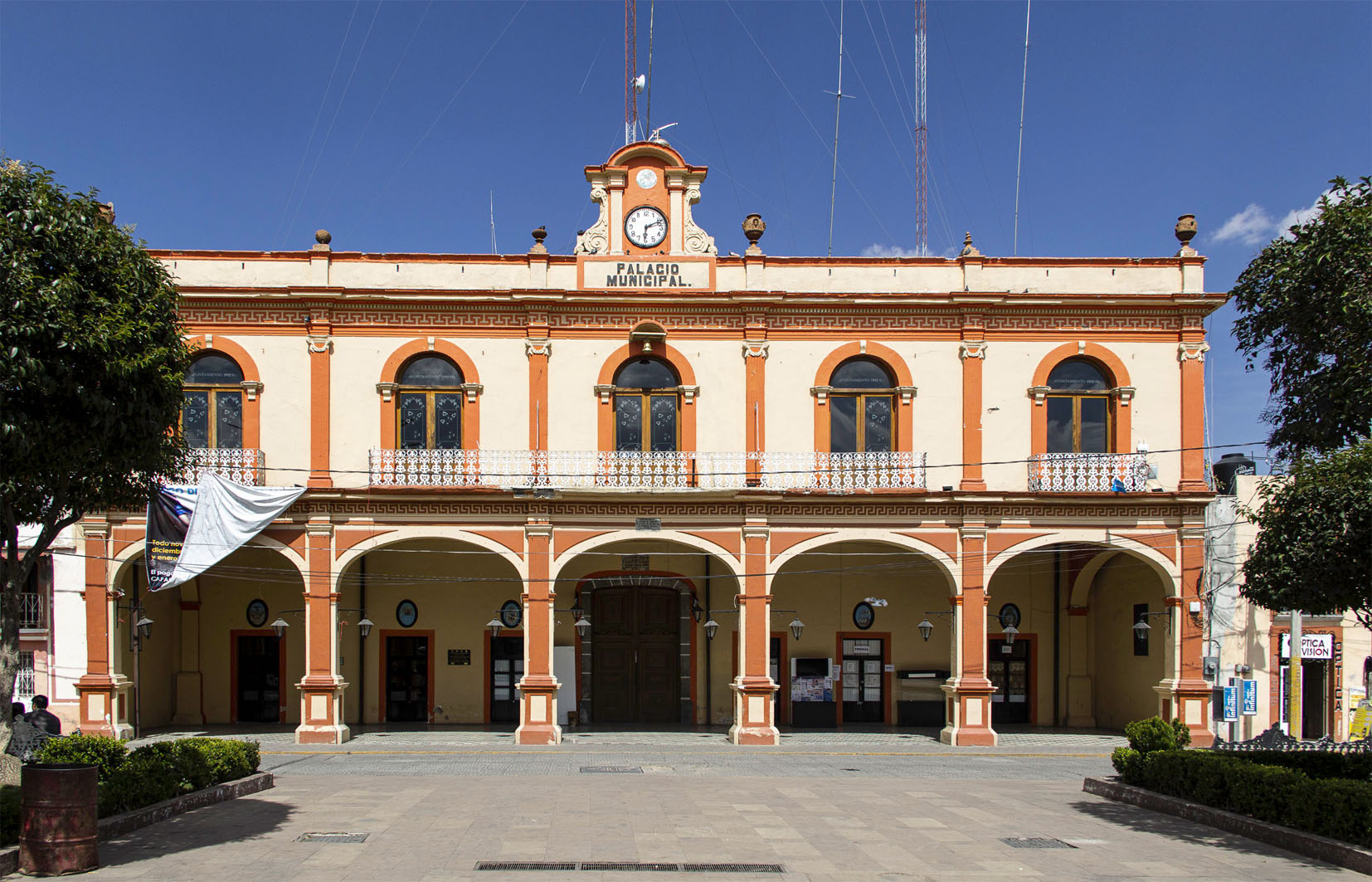
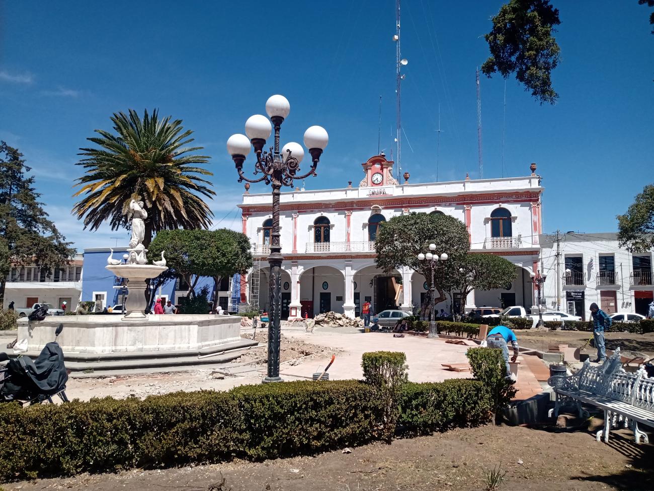
Presidencia Municipal
19th-century building with a two-level façade. The first level features a portal with rectangular columns and lowered arches. At the top of the second level is a clock.

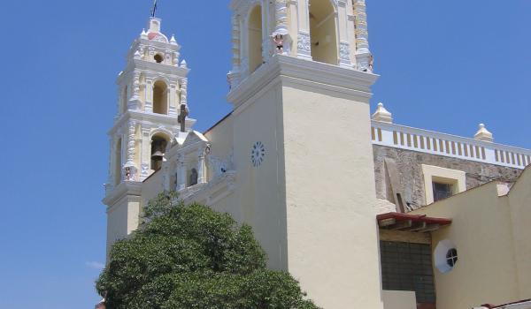
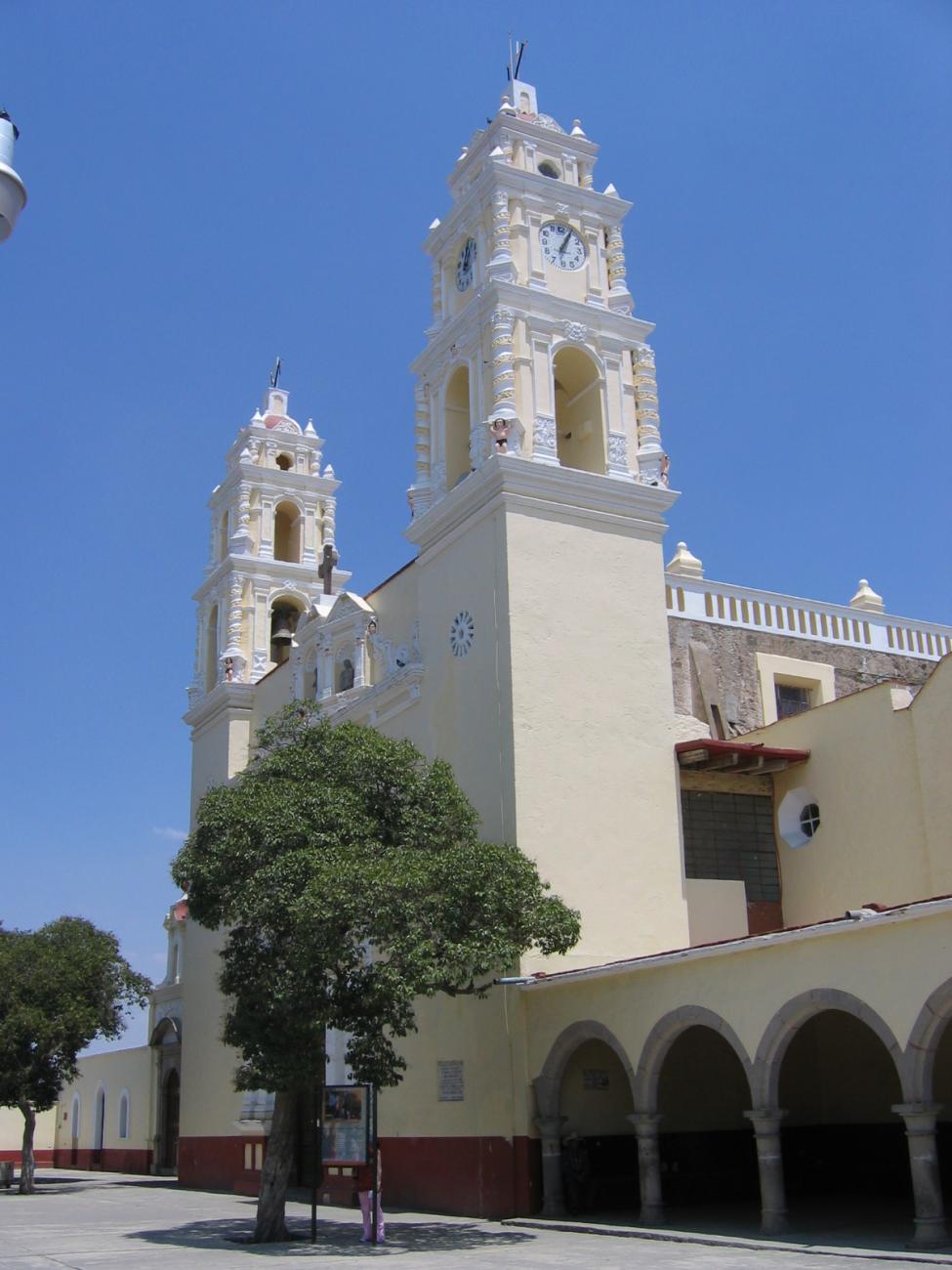
Templo de San Antonio de Padua
17th-century religious building. Its original altarpiece was Baroque, decorated with gold, oil paintings, and carved wooden sculptures; the one currently preserved dates from the second quarter of the 20th century.

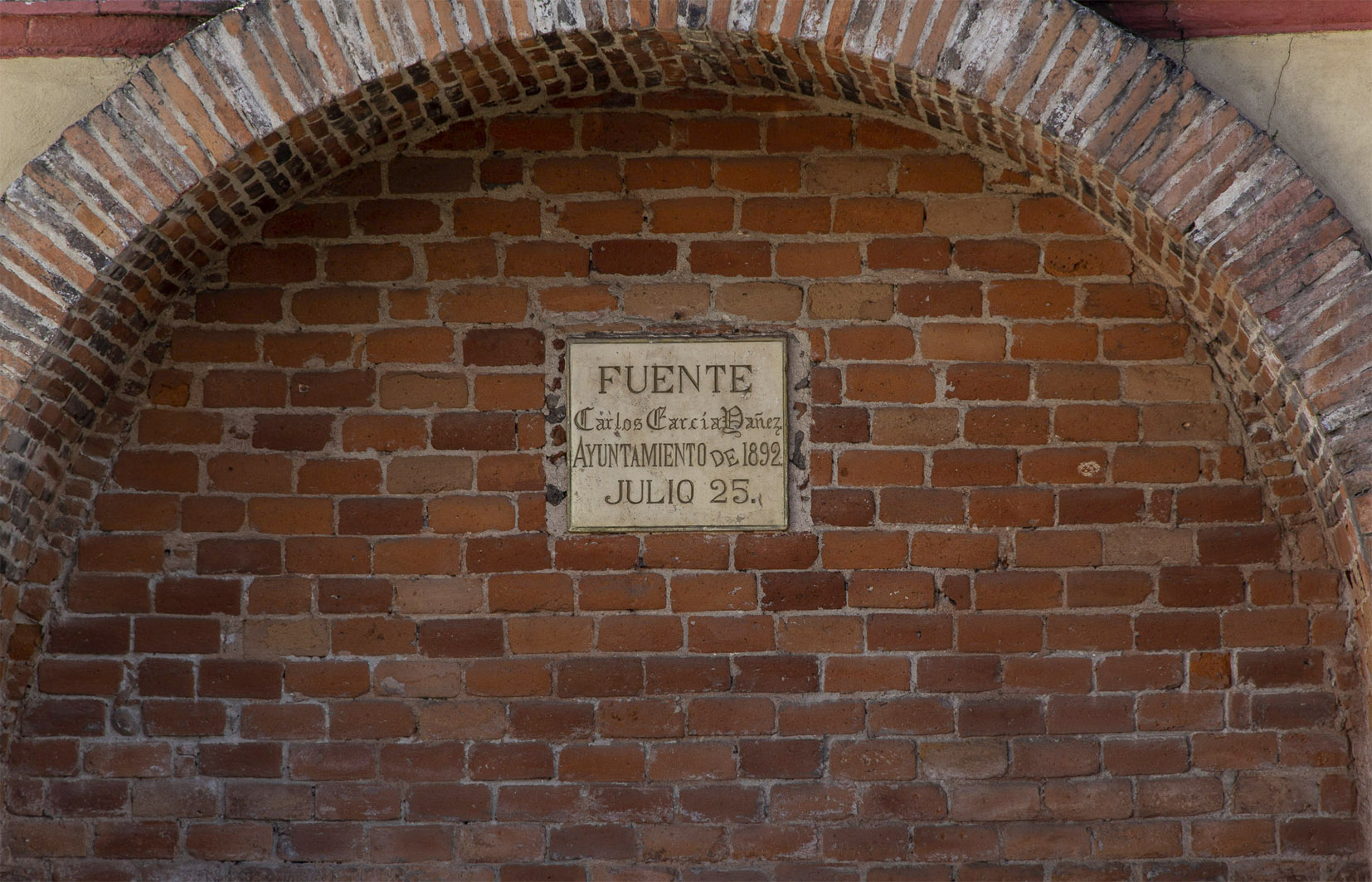
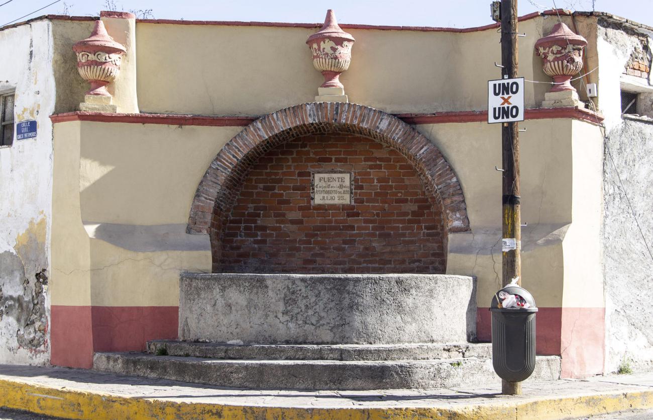
Fuente "Carlos García Yañez"
In the city's historic center, there is this 19th-century fountain.


Capilla de la inmaculada concepción
17th-century building. It features an access with a semicircular arch framed by pilasters and a carved cantera stone frieze, along with a decorative arch.


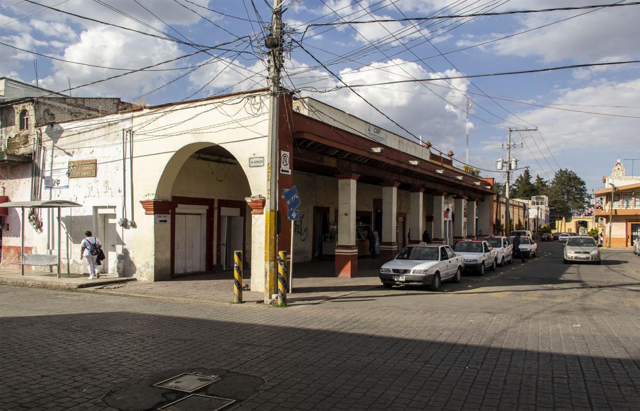
Portal Centenario
19th-century building, its façade features a horizontal layout with a front portal composed of columns supporting a wooden beam that holds up the wooden framework.

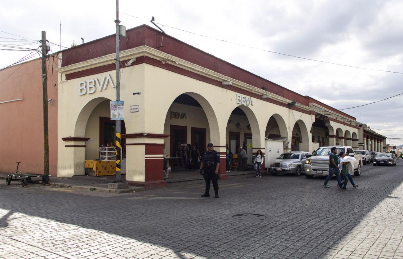
Portal Hidalgo
19th-century building. The façade facing Portal Hidalgo consists of six openings that correspond to access doors. It features four semicircular arches and one more on the eastern side of the portal.

Fuente Hidalgo
19th-century building, also known as 'Fuente del Soldado' due to the bust located in the center.
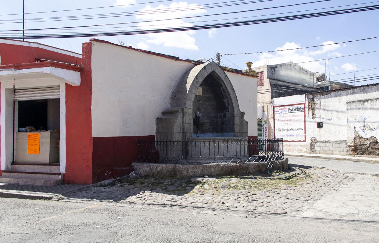
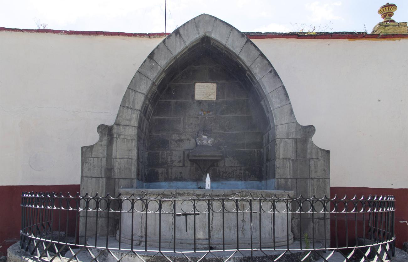

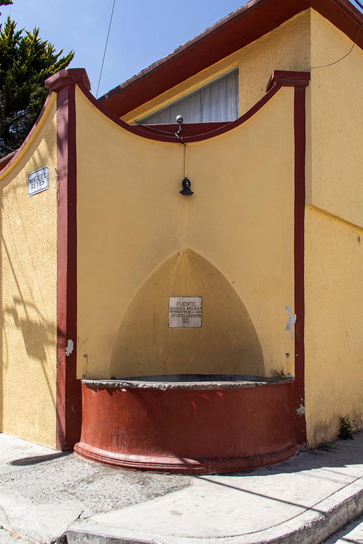
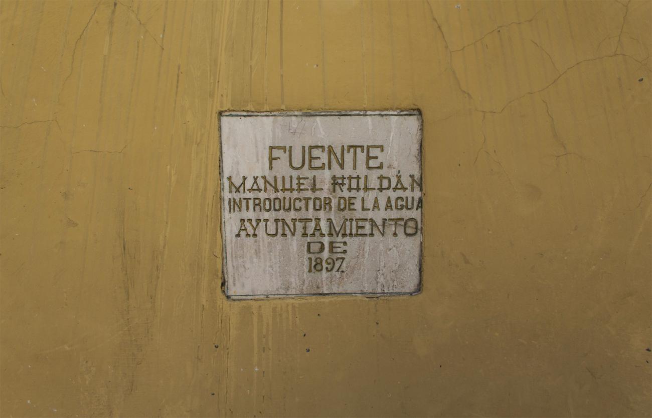
Fuente Manuel Roldán
19th-century building, it has a semicircular plan with a façade featuring a pointed arch.
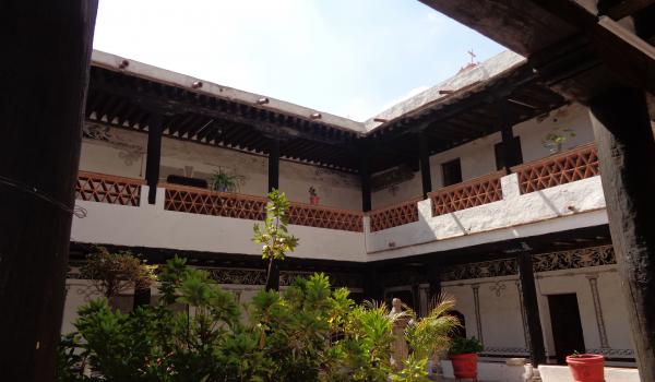
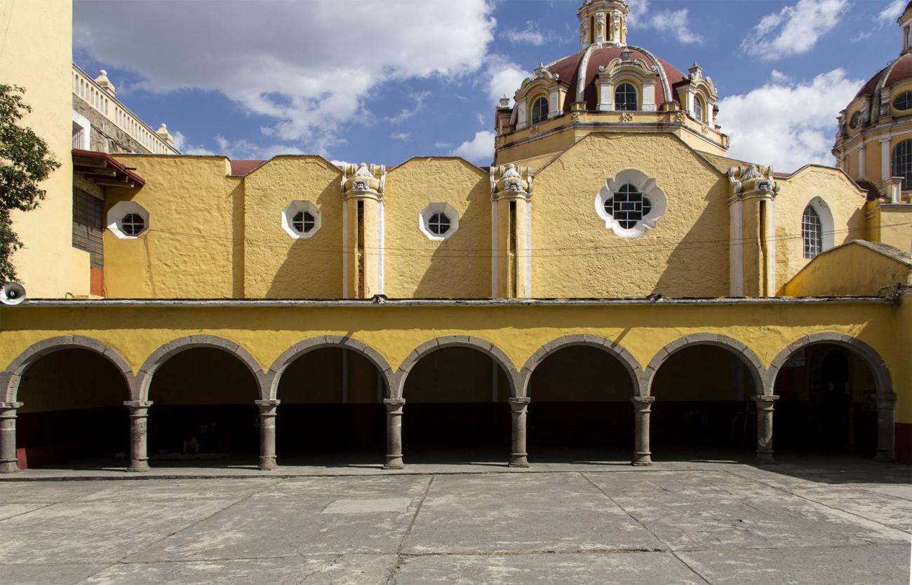
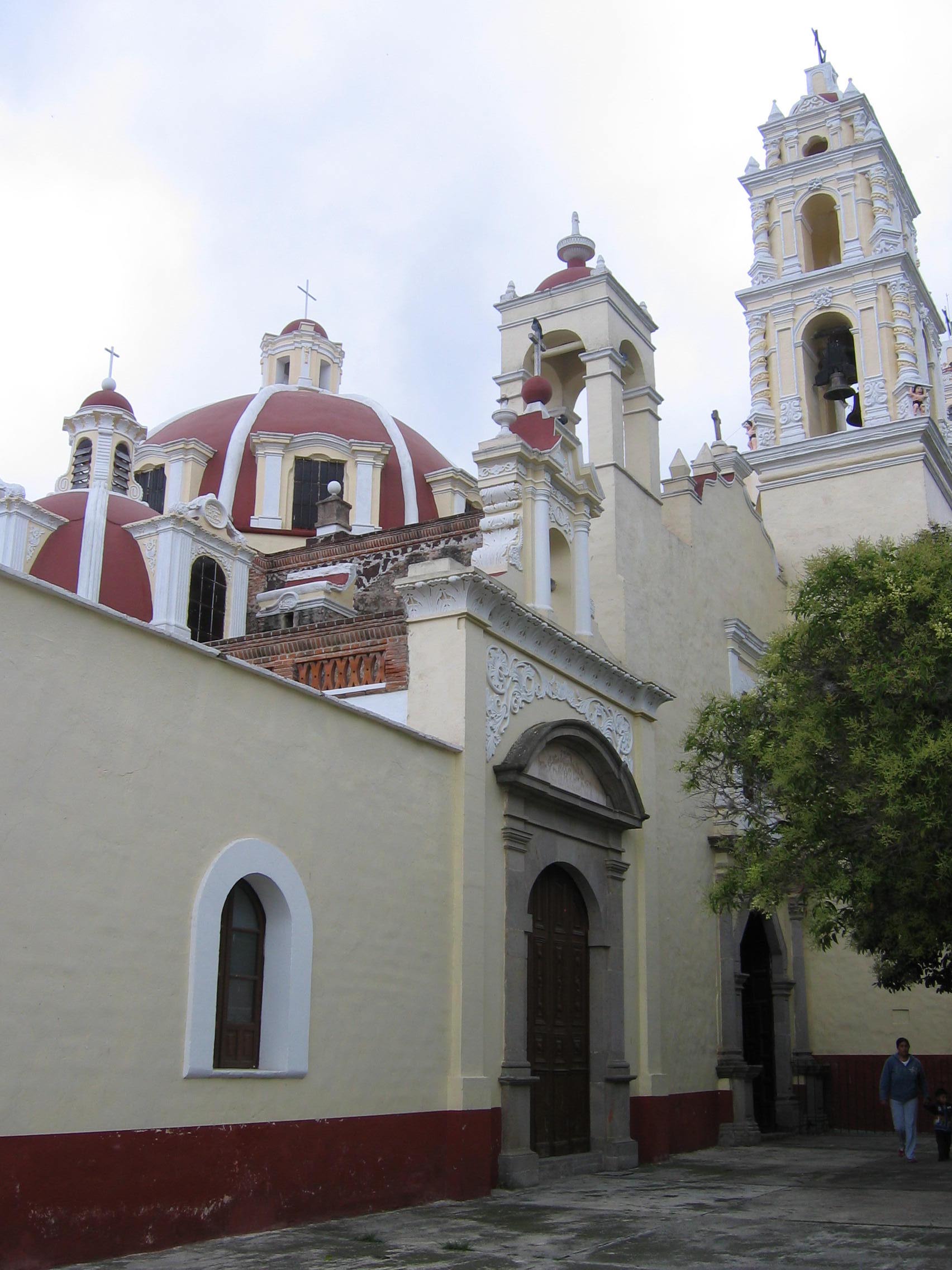
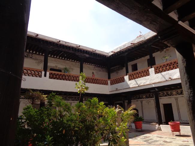
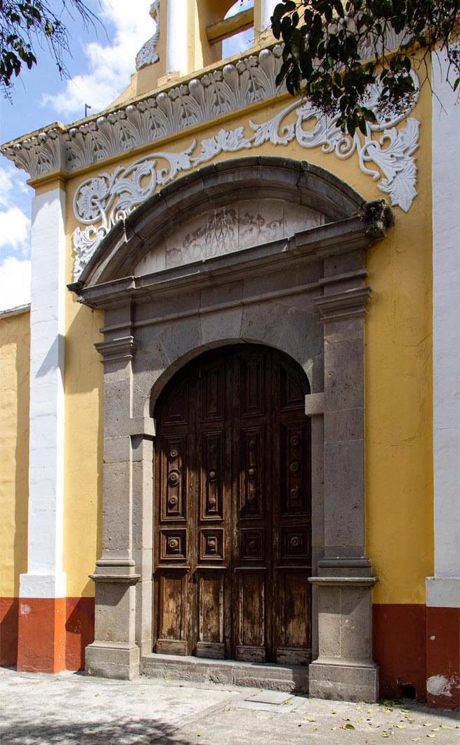
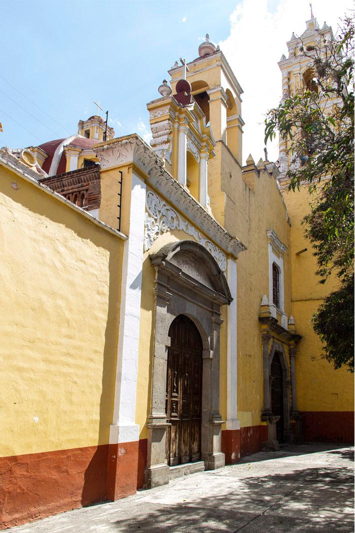
Templo y Ex-Convento de San Simón y Judas
16th-century building, a two-story cloister that is preserved almost intact, except for the balustrades. Notable are the colorful and beautiful mural paintings protected in the niches of the corners, created by Sebastián de Ávila in 1764.