


San Miguel el Alto
Prior to the Conquista, this region was known as Atonayalco, which means “the other side of the river”. Its current name refers to San Miguel Arcángel, patron saint of the town. The municipality is located in the region known as Los Altos de Jalisco, on the banks of the Laja or San Miguel river, some 90 miles from the state capital.
15_EN_616_ZMH_Jalisco_SanMiguelElAlto.wav
During the pre-Hispanic period, San Miguel el Alto was a settlement of Náhuatl-speaking communities known in the zone as Cazcanes, Cocas or Texcuexes and Zacatecos. In 1542, the Spanish Crown recognized San Miguel del Ojo del Agua as a Villa with a royal seal; in 1548 it was refounded and repopulated with groups who arrived from San Gaspar, who established themselves at Punto del Agua Caliente and La Cantería, today neighborhoods of San Miguel.
In 1762 a number of Spanish families received permission to settle in the areas reserved for the indigenous peoples, where there was an ancient pre-Hispanic site, giving rise to a mixed district of indigenous and Spaniards. After Mexico became independent, in 1822 San Miguel el Alto was established as a municipality, as a result of the petition sent by its residents to Antonio Gutiérrez, the mayor of Lagos de Moreno at that time. A century later, between 1926 and 1929, the zone of Los Altos was the site of repeated battles by the Cristero movement.
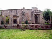
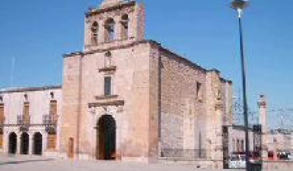
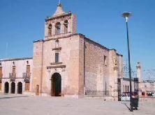
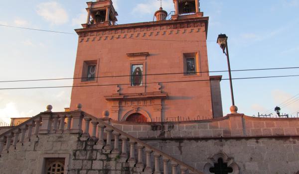
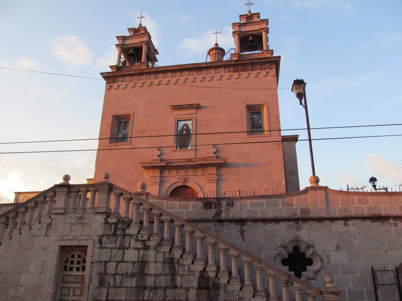
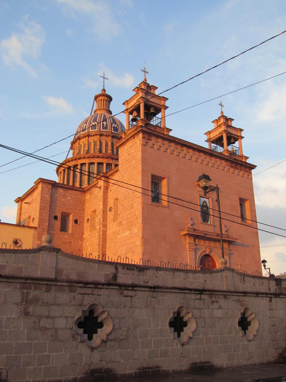
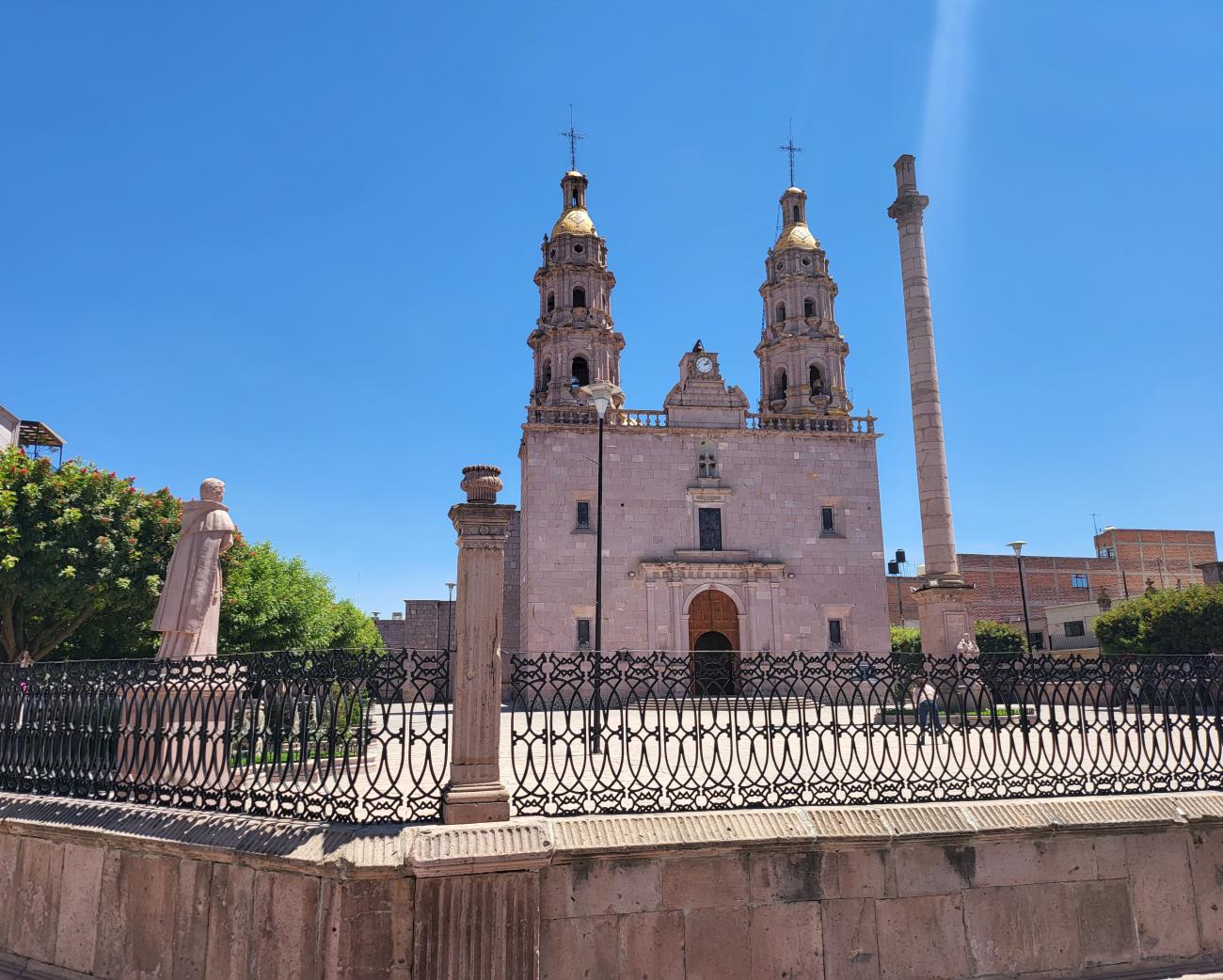
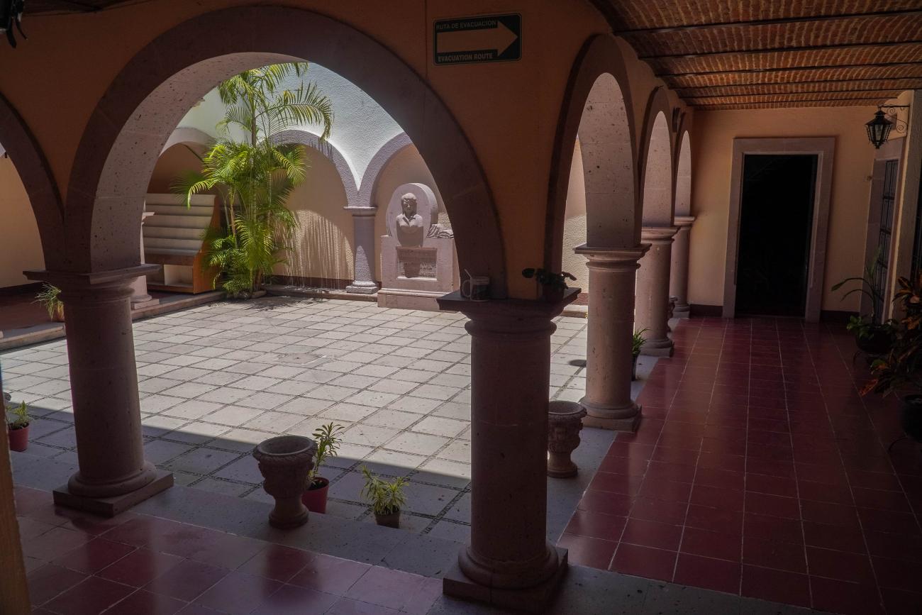
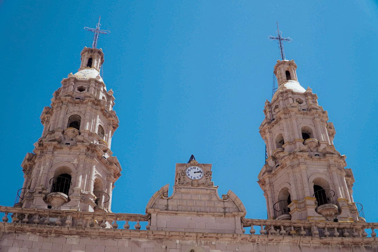
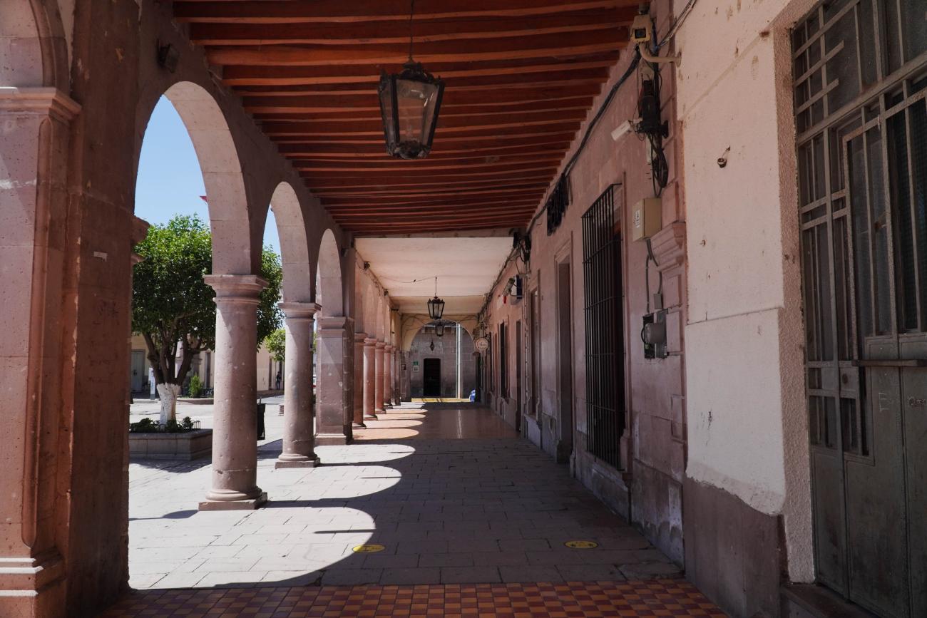
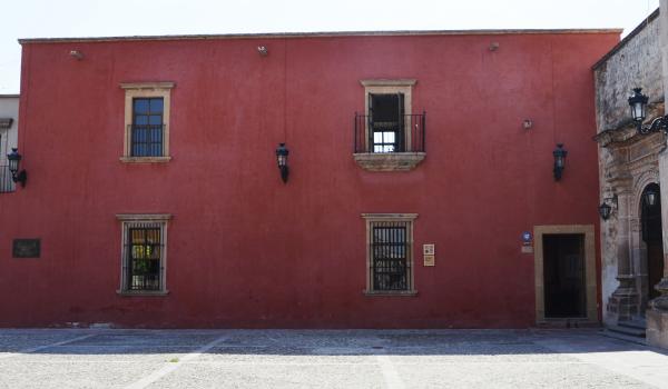
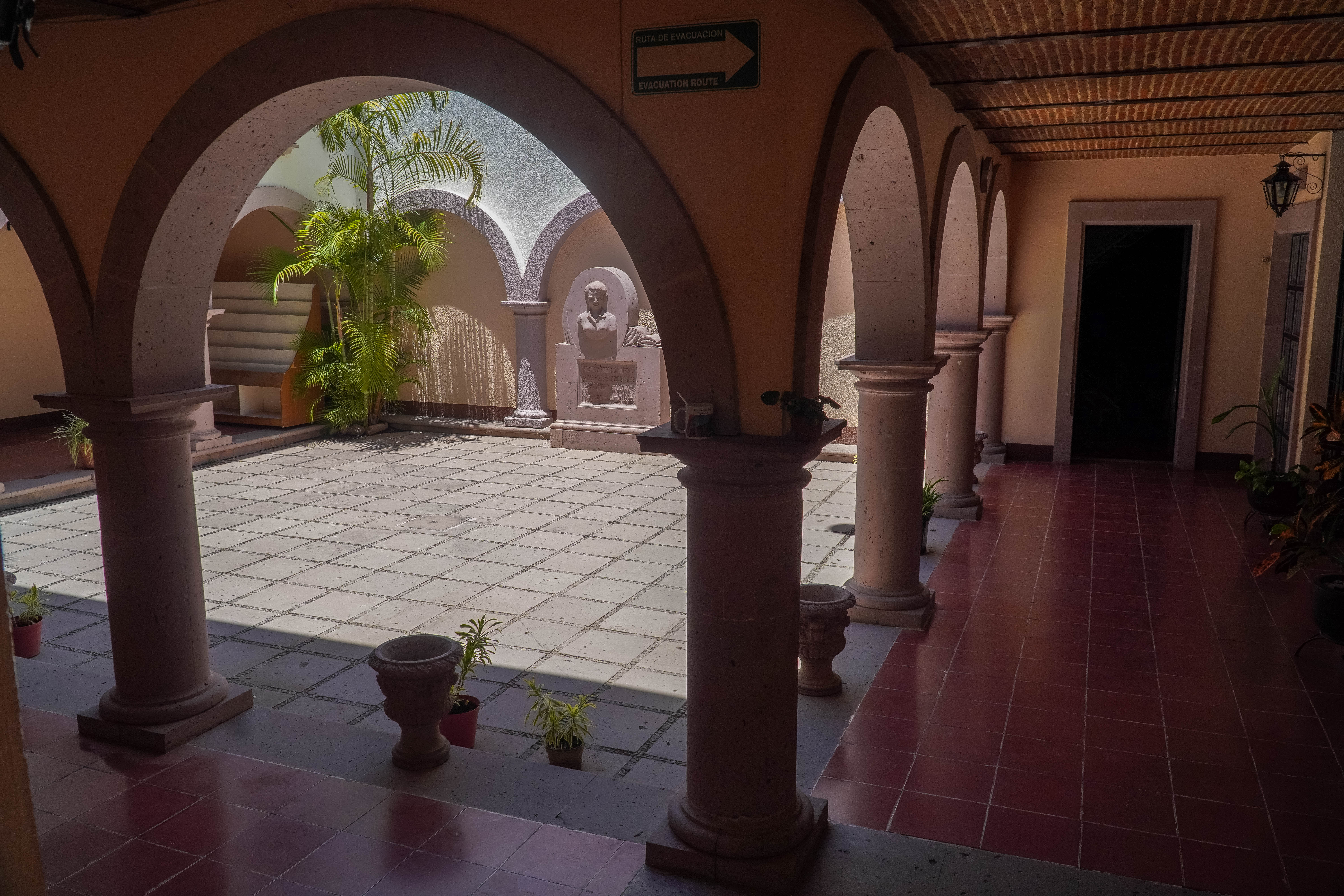
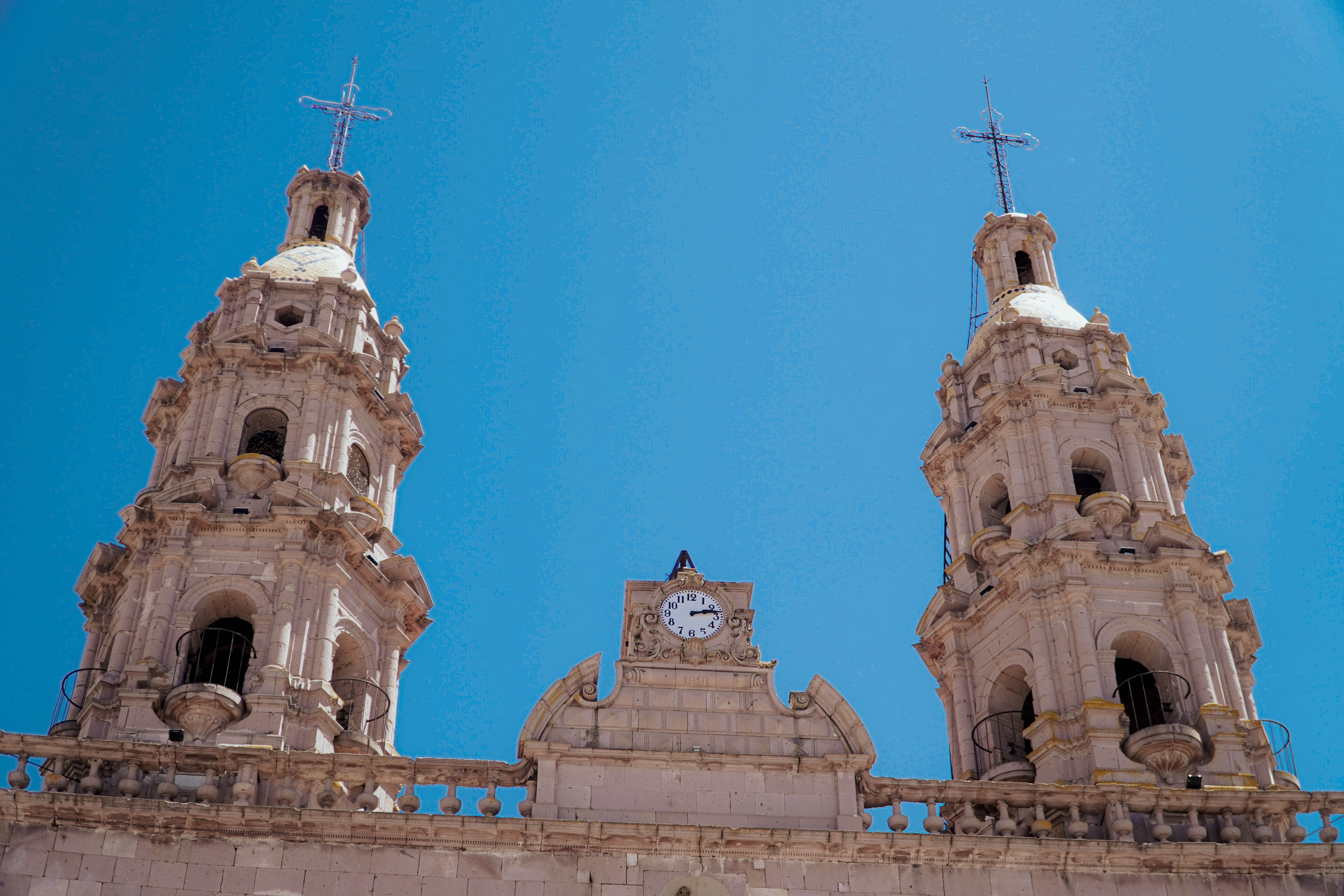
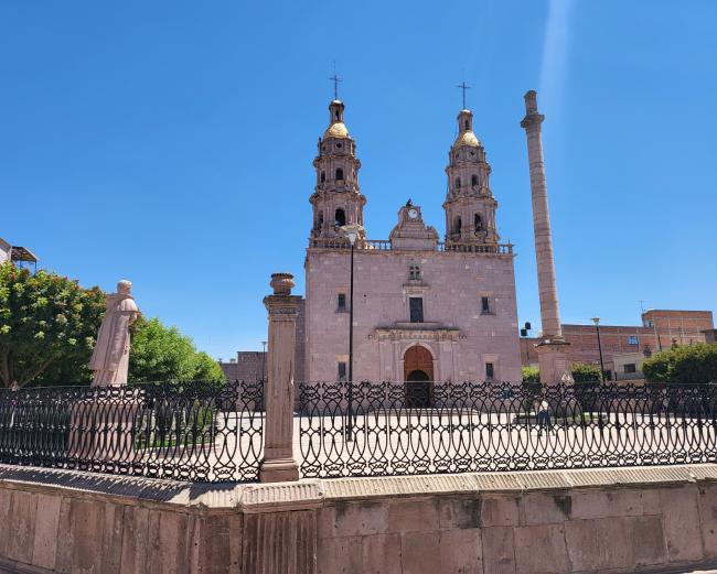
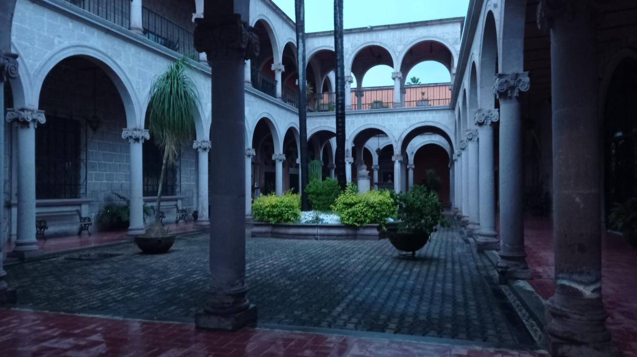
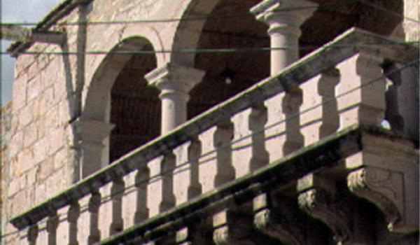
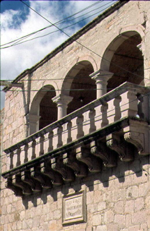
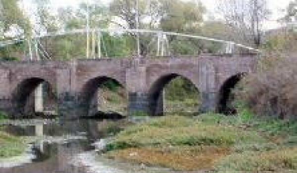
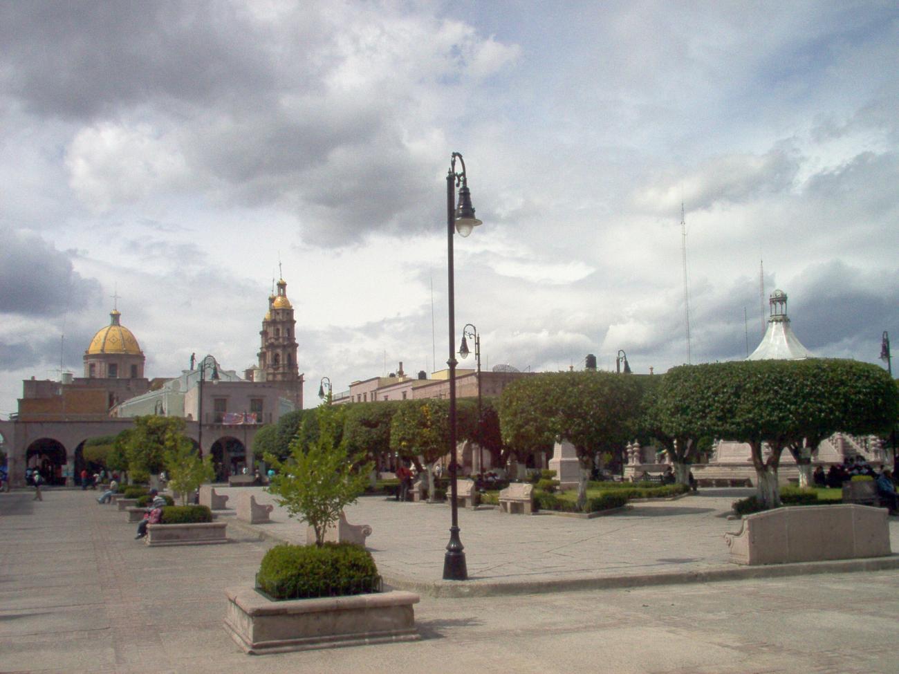
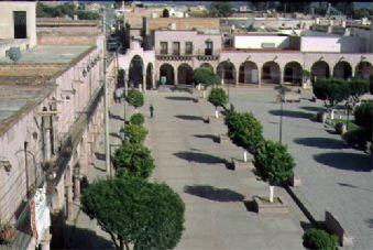
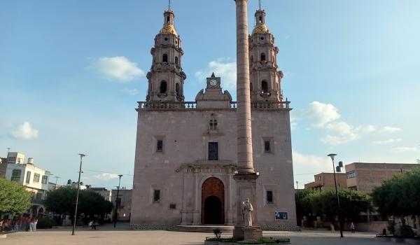
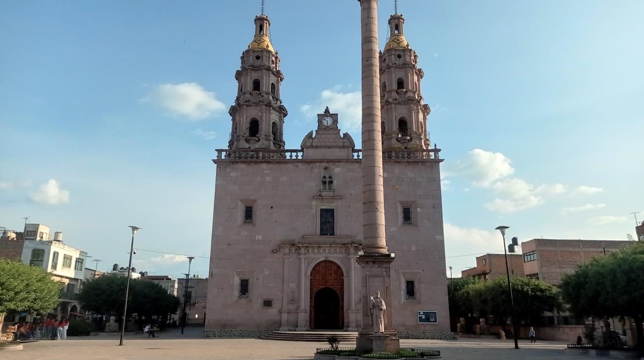
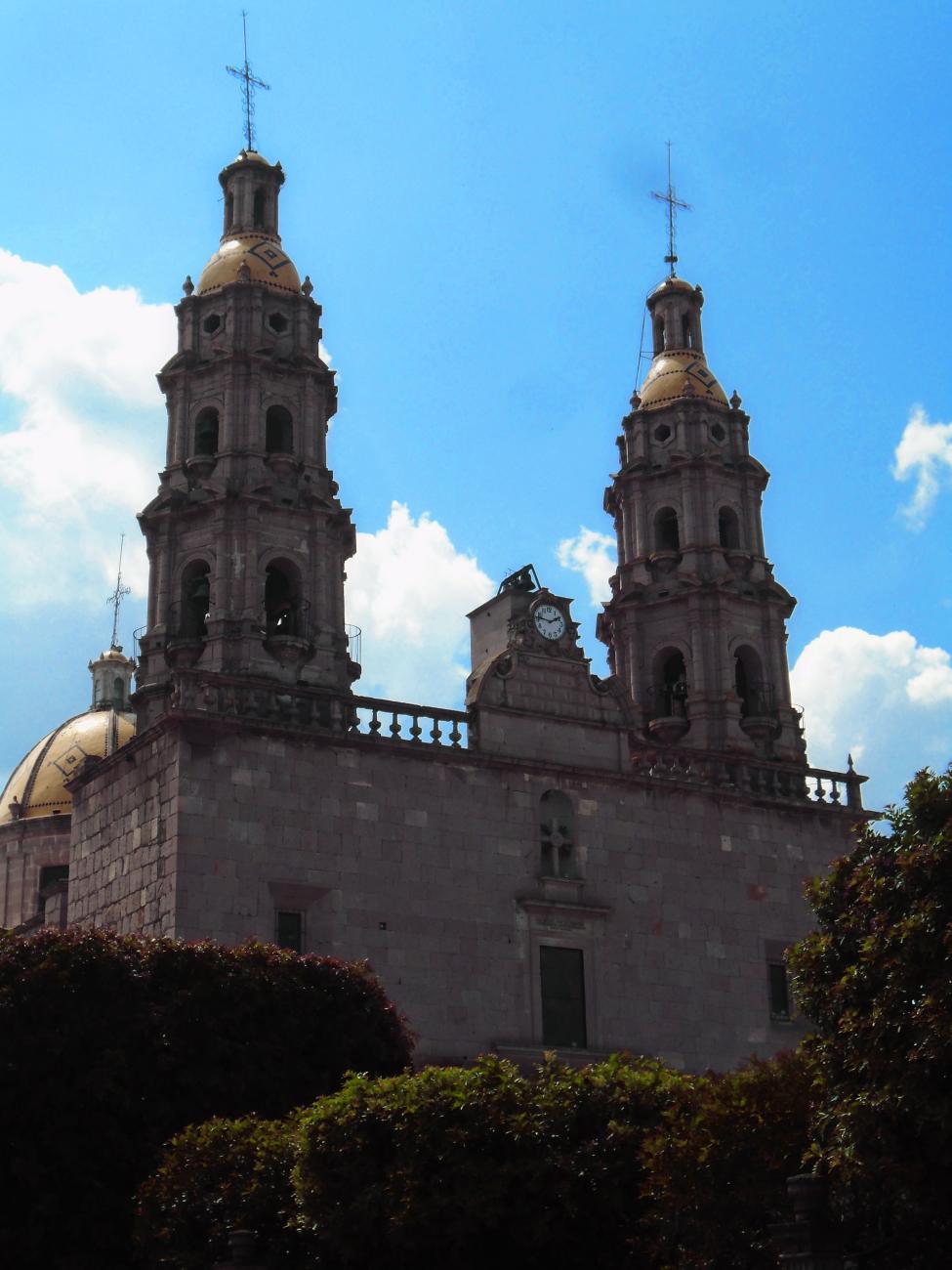
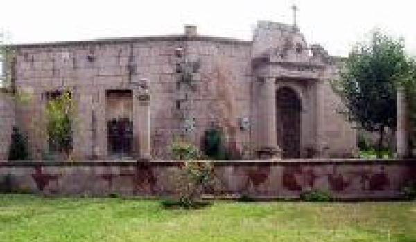
The characteristics of the city’s buildings maintain their traditional urban layout and offer eloquent testimony to their exceptional value to the social, political and artistic history of Mexico. As a result, on March 30, 2001, San Miguel el Alto was declared a Zone of Historical Monuments. The historical zone presents a linear, reticular layout and is contained by the San Miguel river; it covers an area of 0.4734 km2, comprising 59 city blocks with a total of 611 buildings constructed between the 17th and 19th centuries. Of particular note are the religious buildings such as the Church of San Miguel Arcángel, the Santuario de la Purísima, the Priest’s House and the Atrium.
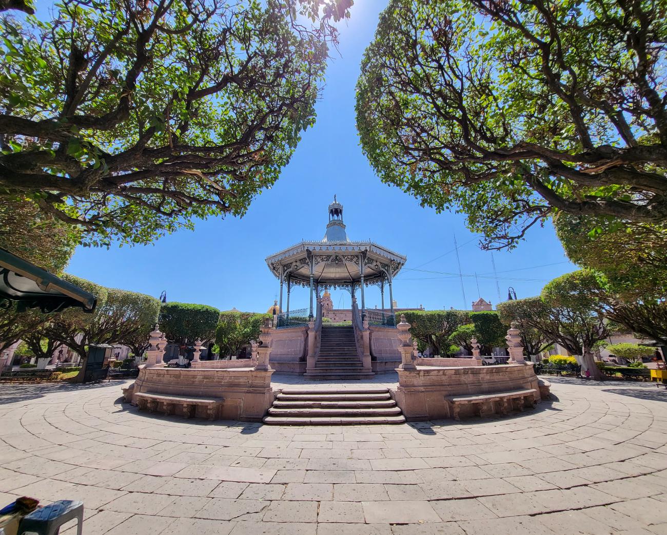
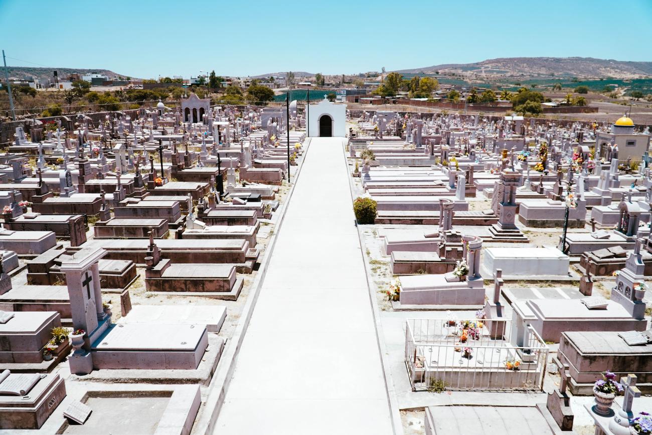
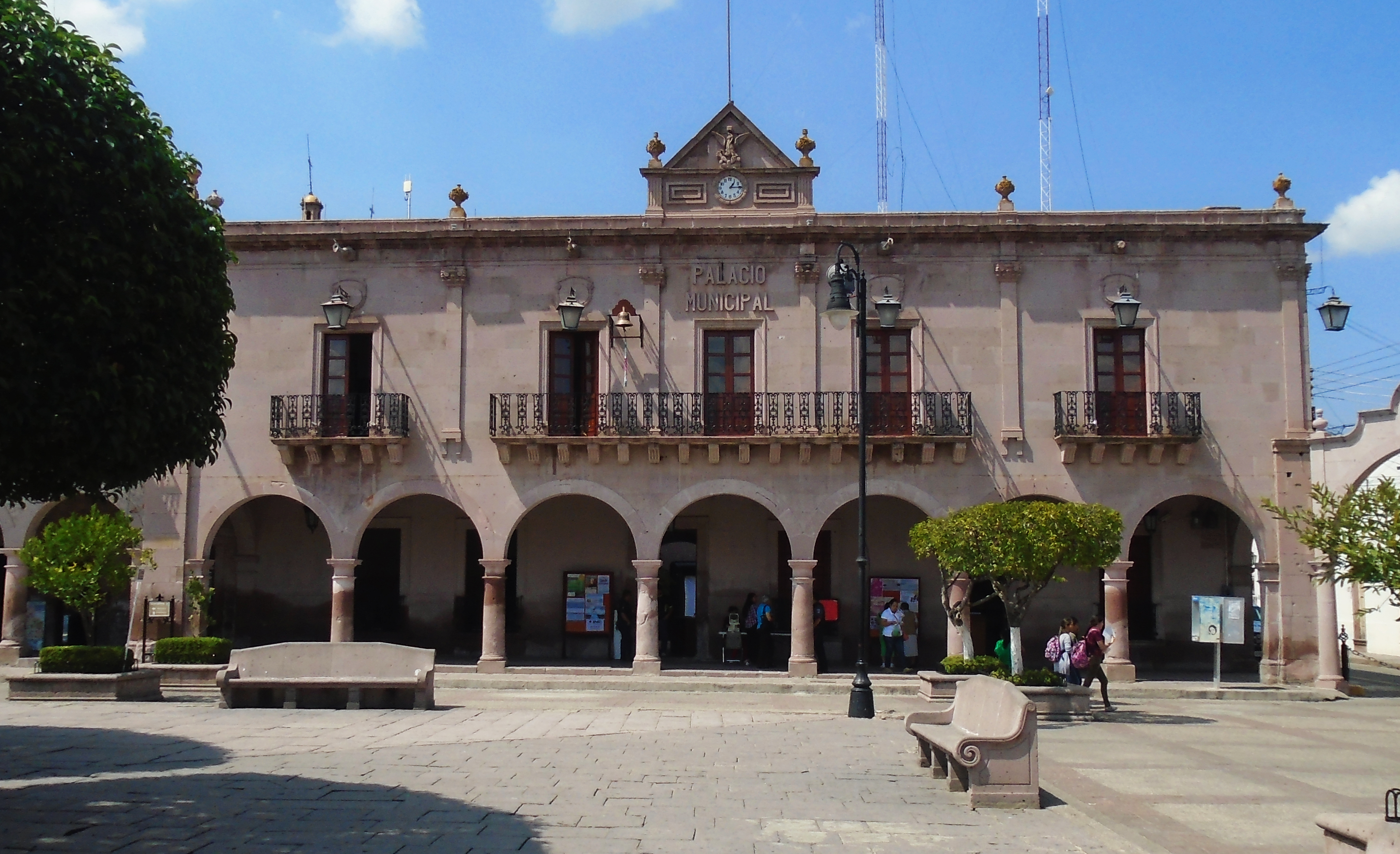
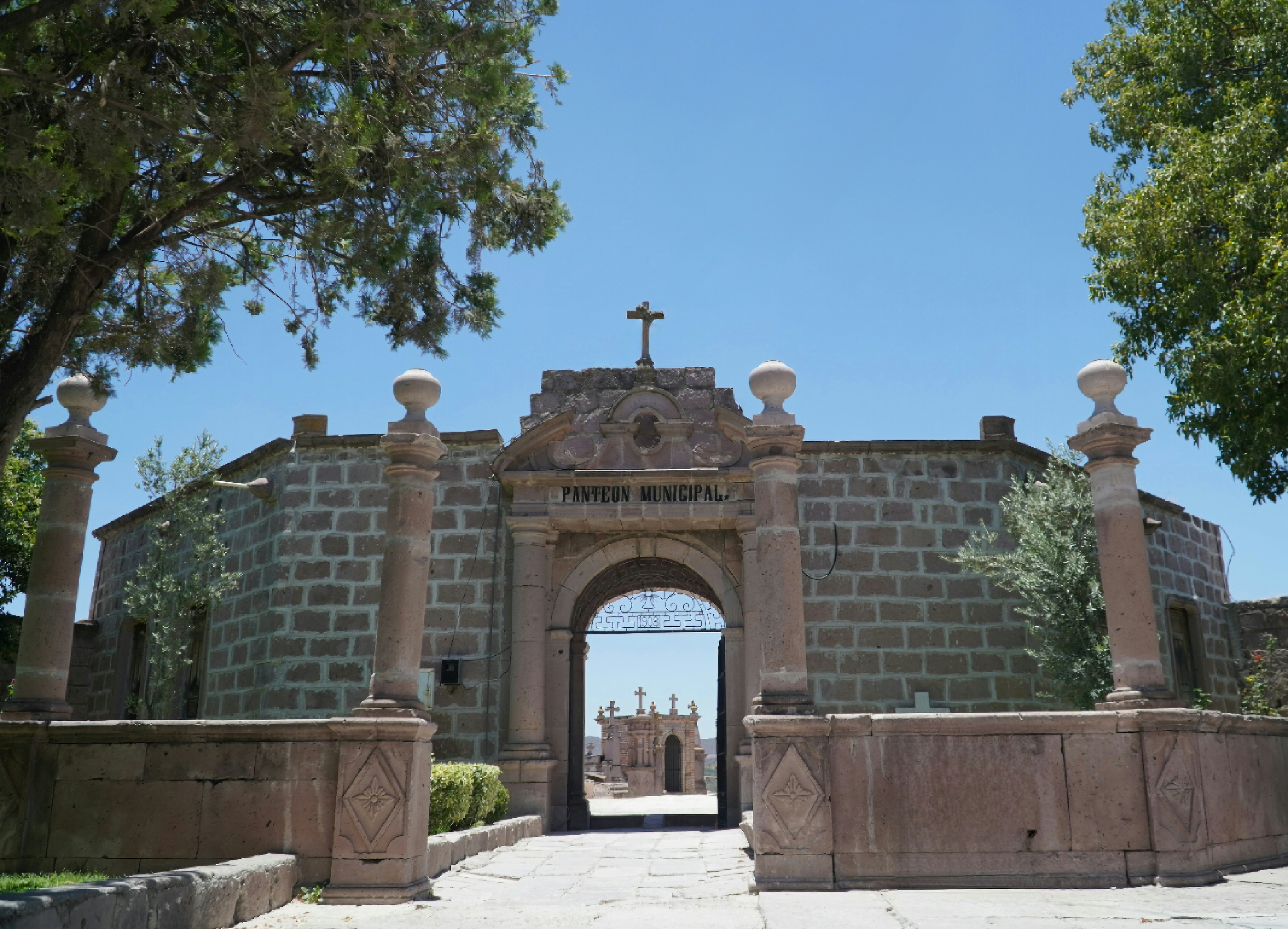
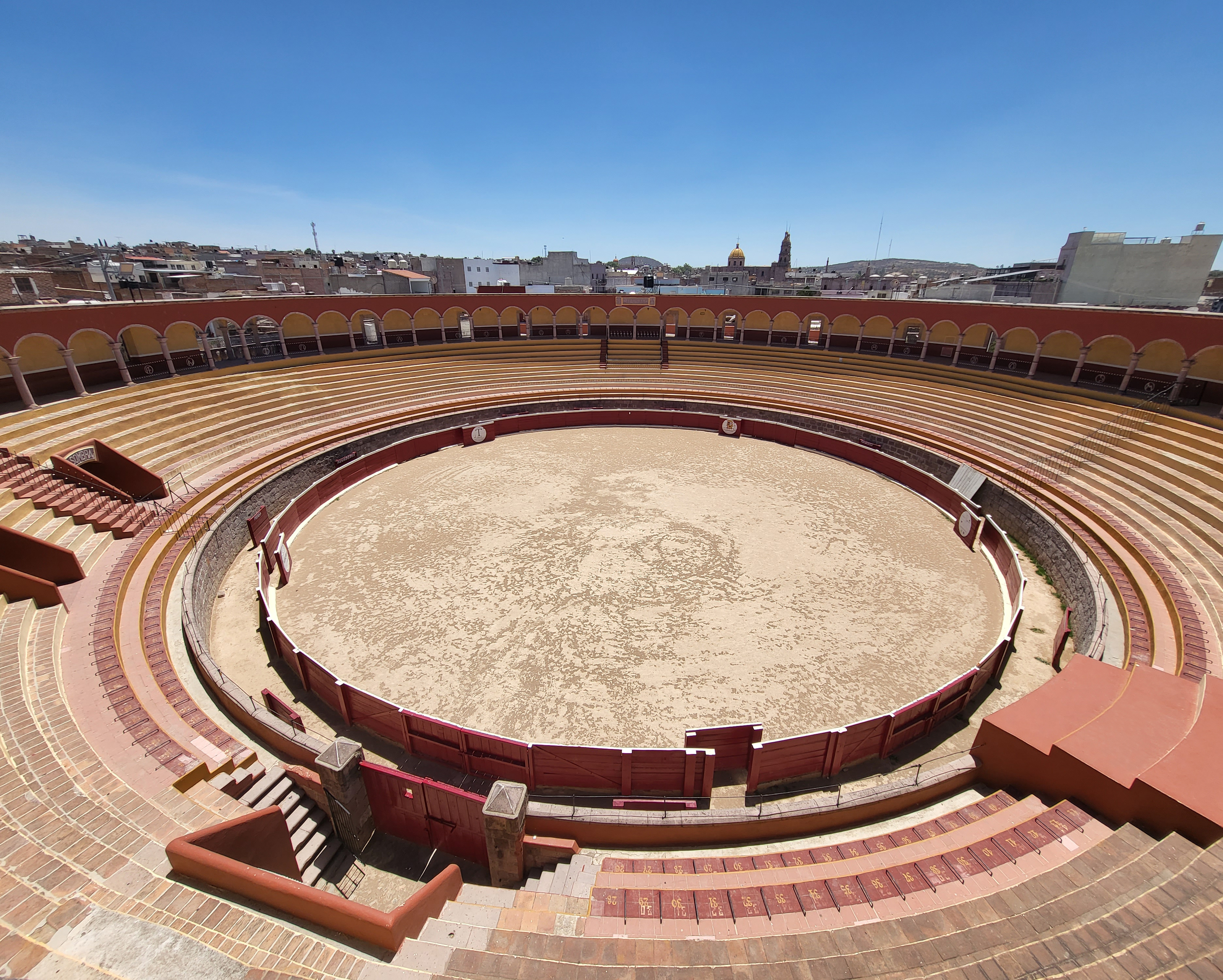
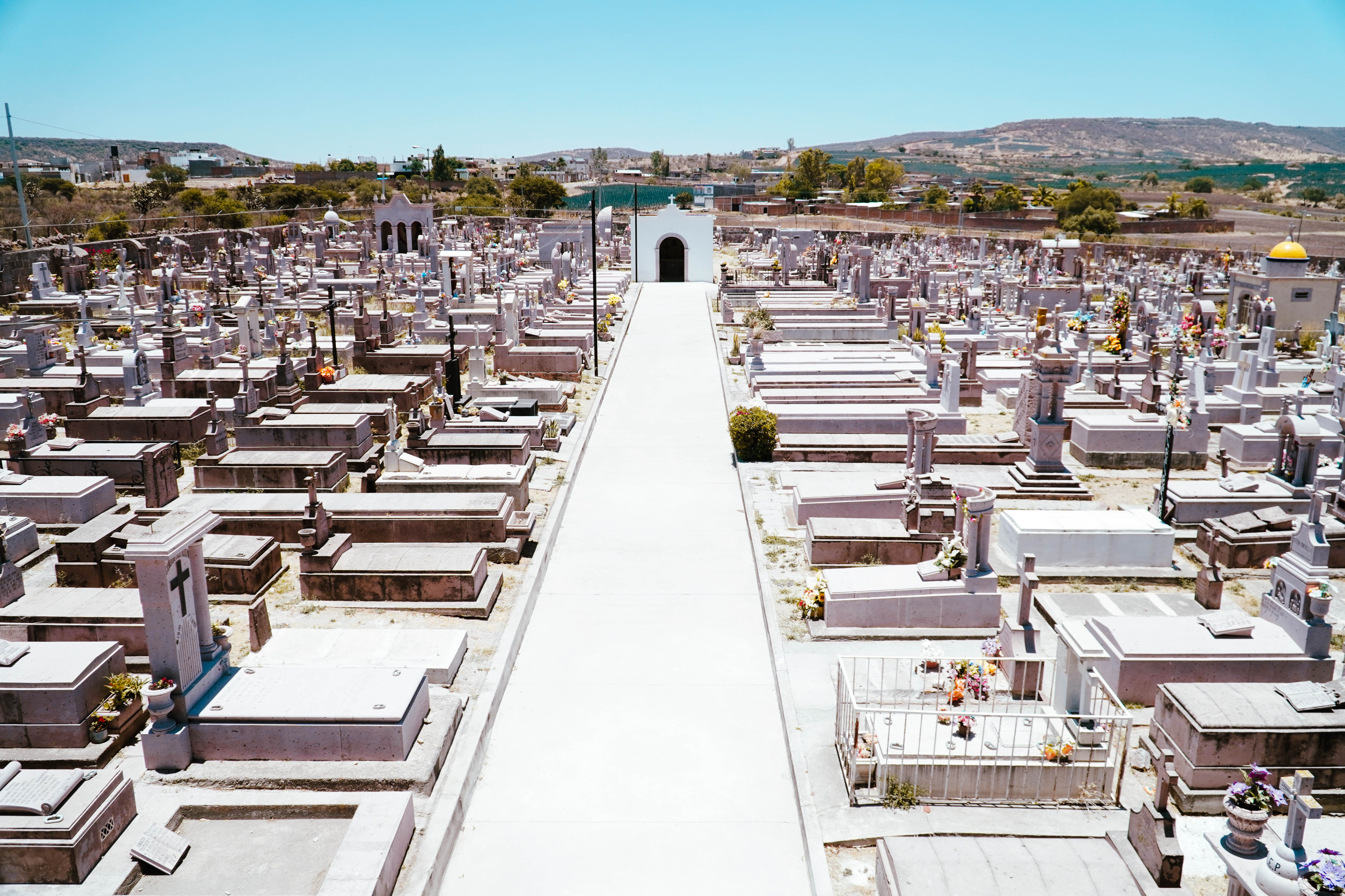
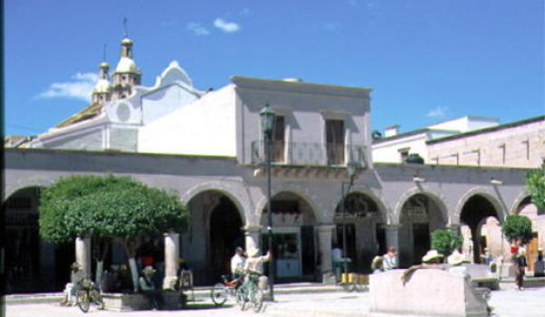
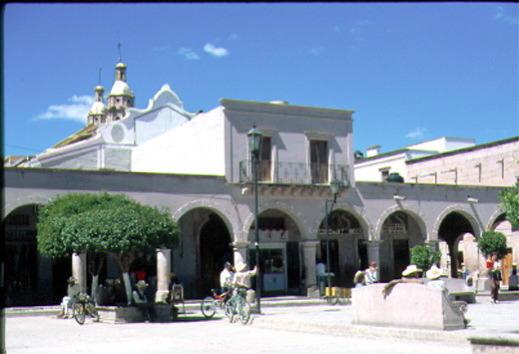
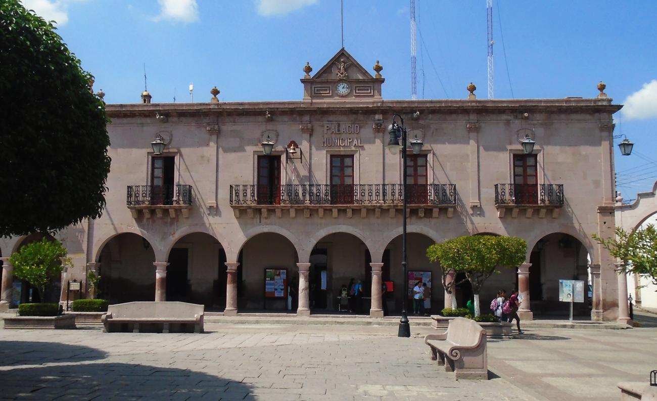
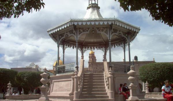
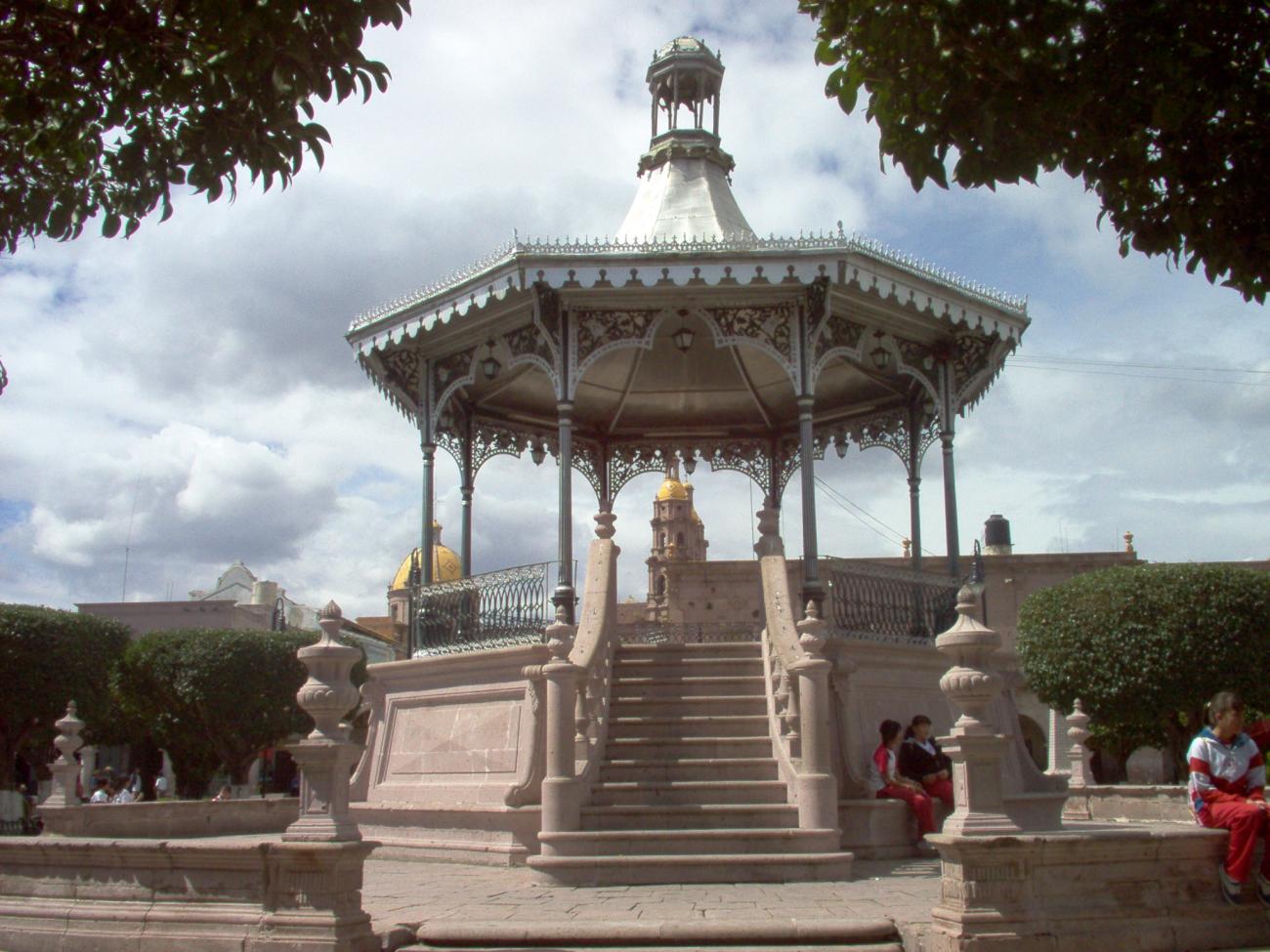
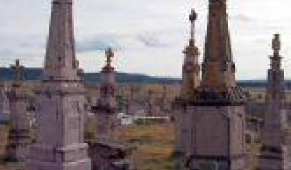
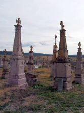
Other constructions were dedicated to educational, welfare, services and public embellishment purposes, as well as for the use of the civil authorities, including the town hall, Plaza Ramón Corona with its arcades for public use, bull ring, market, schools, bridges and cemetery.
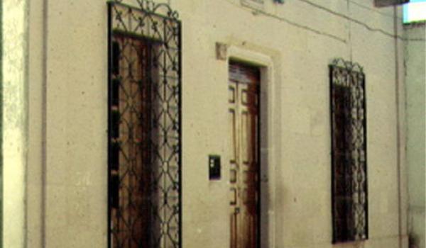
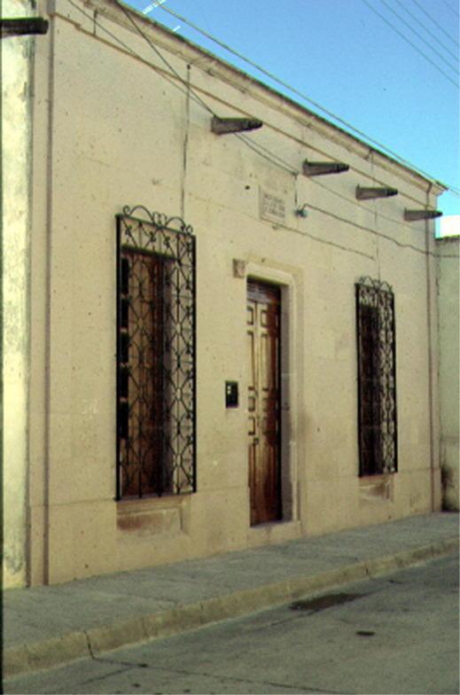
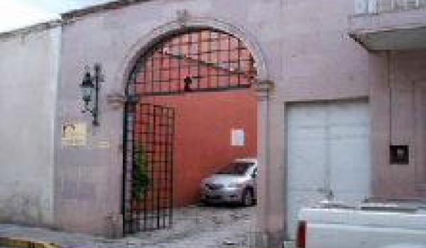
The remaining buildings are for private civilian use. Their architecture, formal elements and overall urban physiognomy is of great significance as they contribute to the harmony of this zone, whose integral conservation is of national interest.
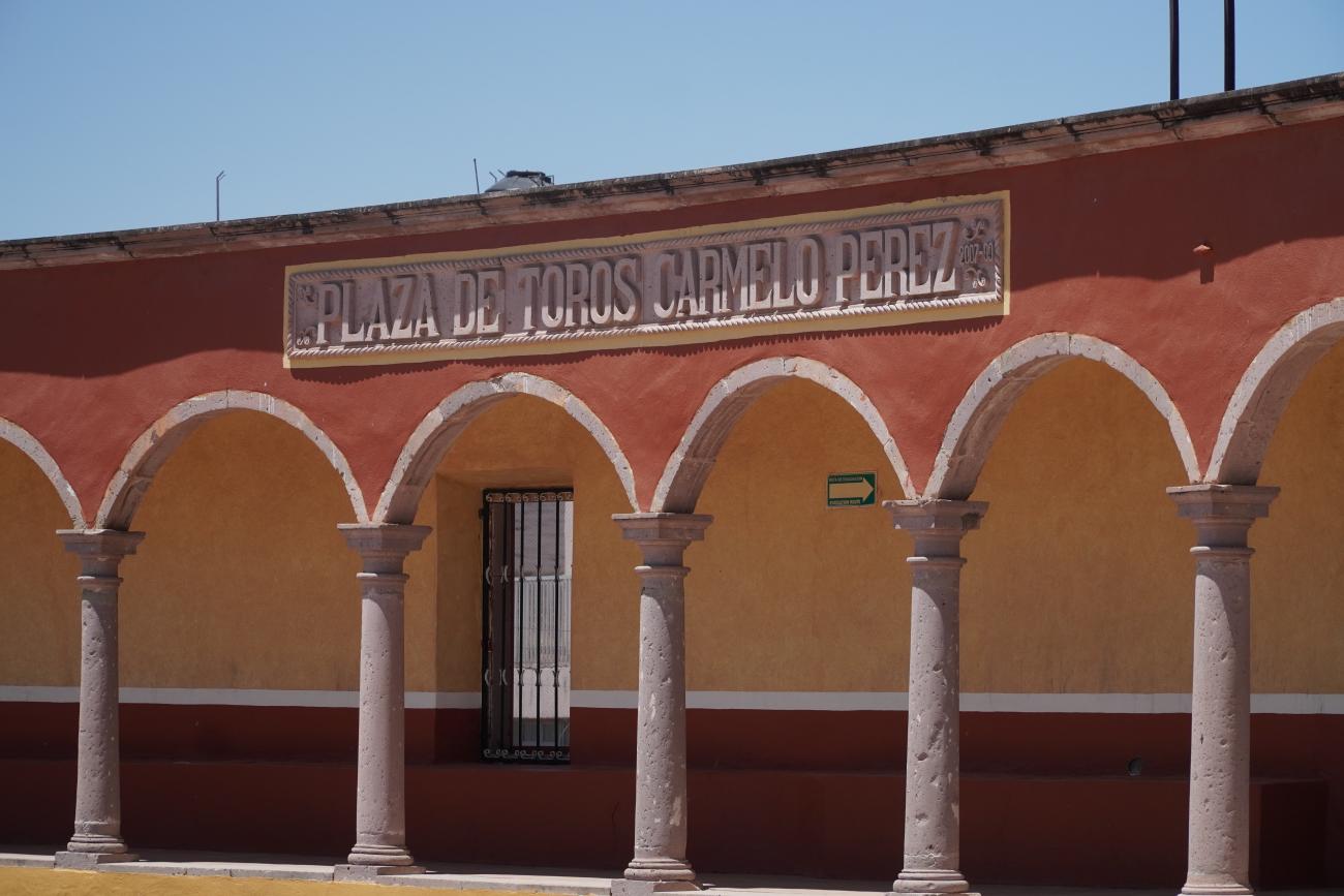
Plaza de toros Miguel Moreno/Carmelo Pérez
19th-century building constructed with quarry stone, adobe, and brick.
Administración
20th-century building serving as the administration for the municipal cemetery.