


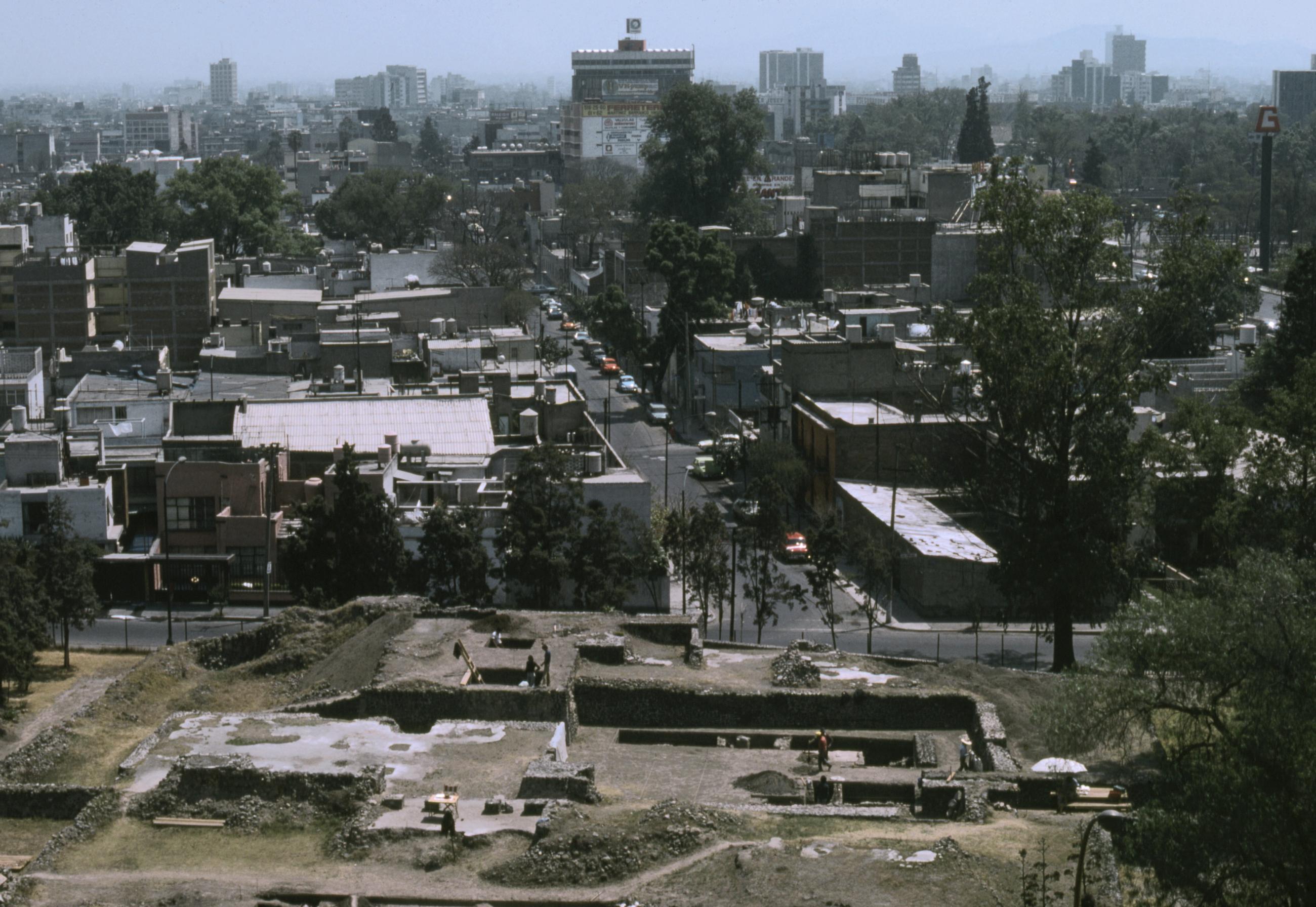
Mixcoac
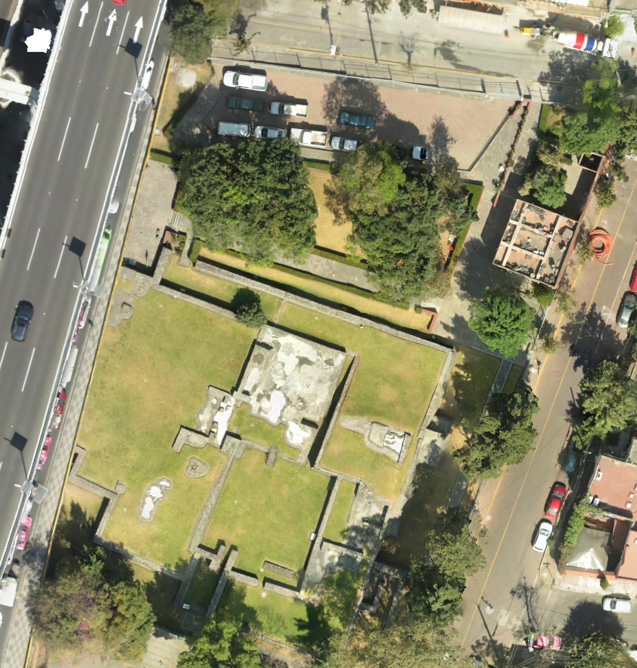
Situated to the southwest of Mexico City and contemporary with the Mexica people and Mexico-Tenochtitlan. The site has been continually excavated, restored and managed for more than 100 years, surviving the urban expansion of recent times.
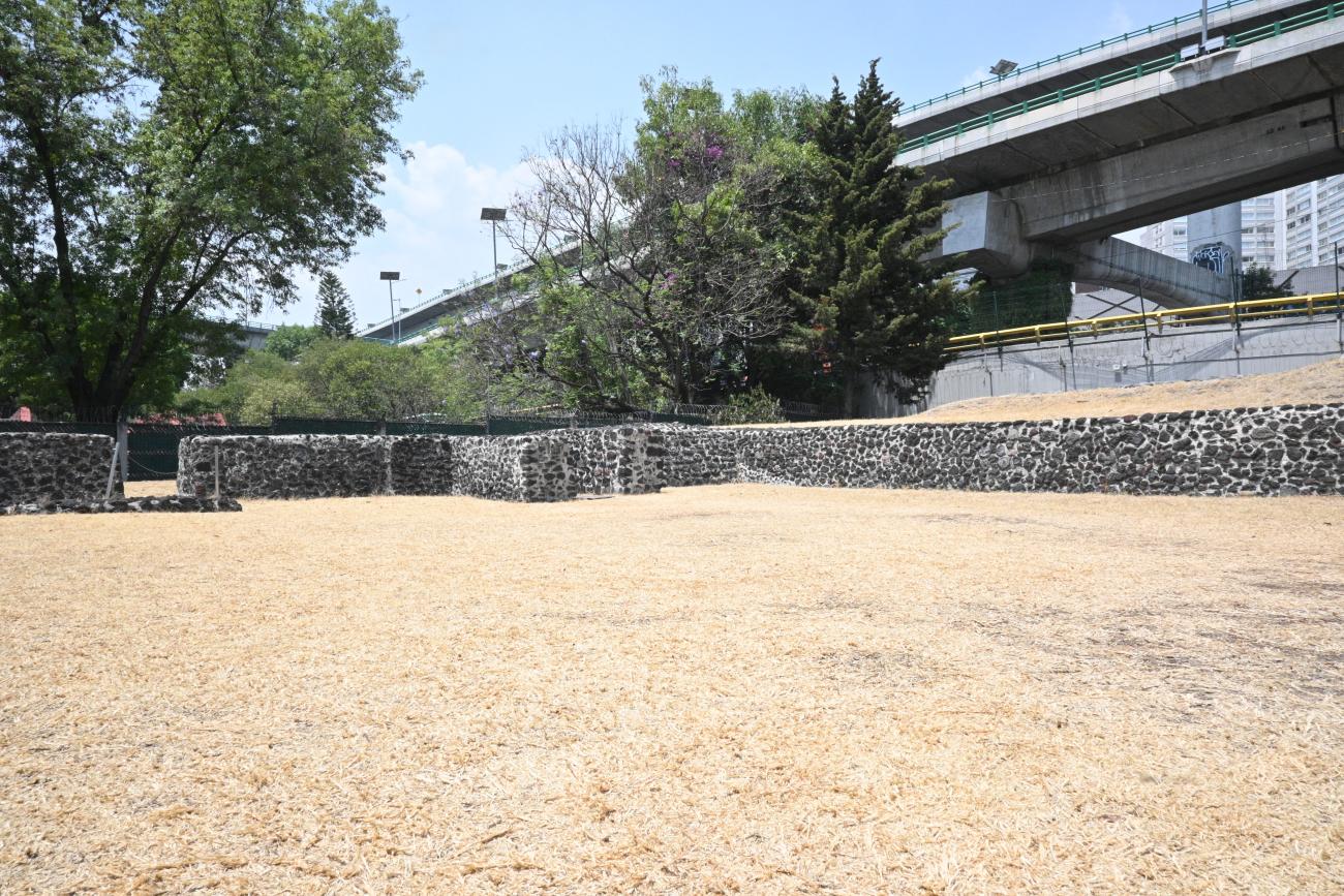
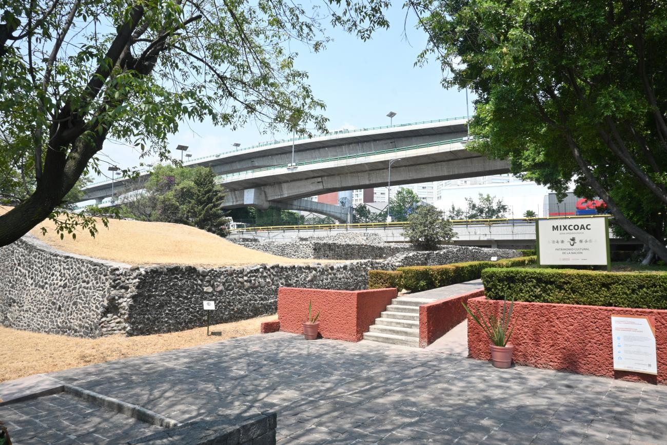
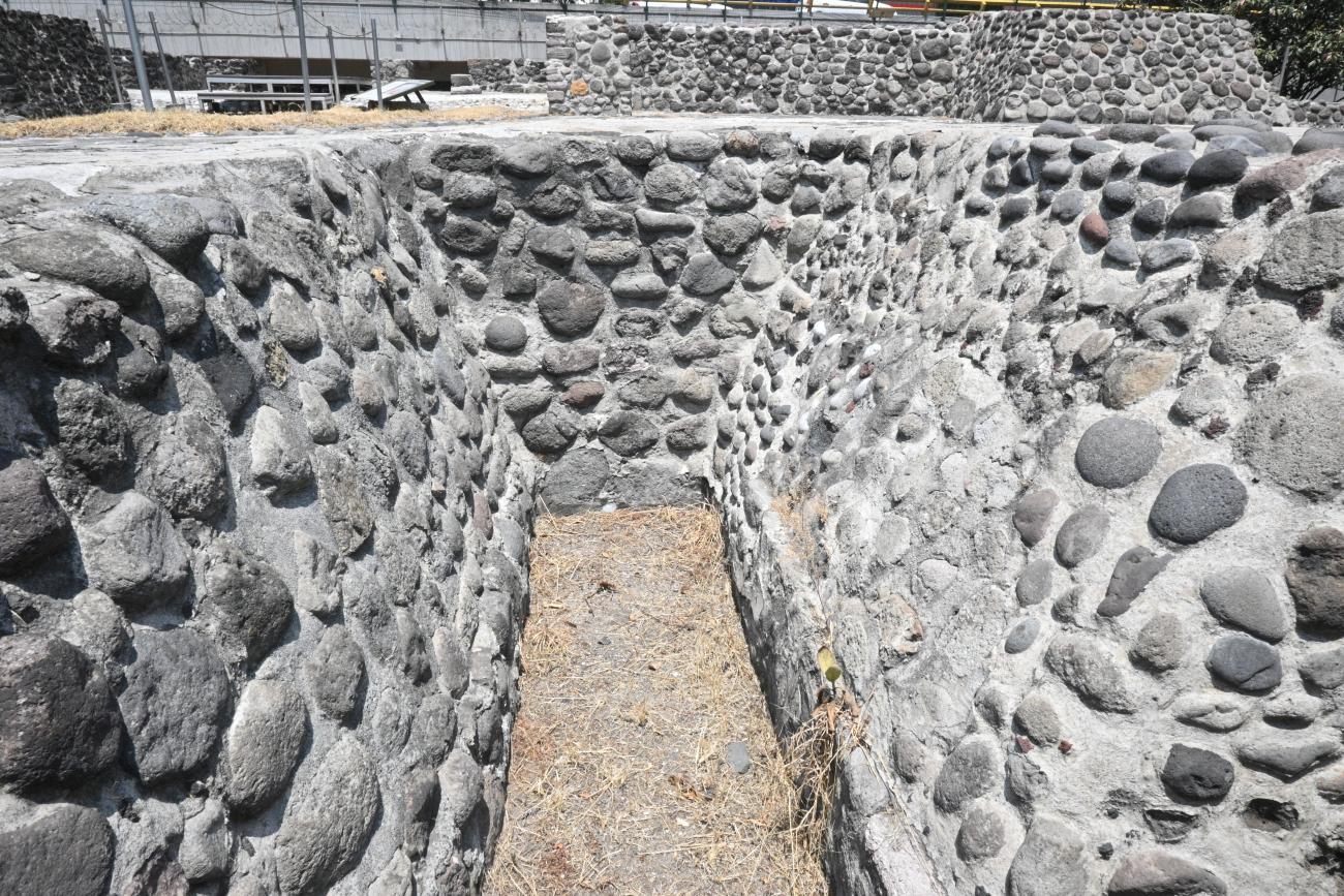
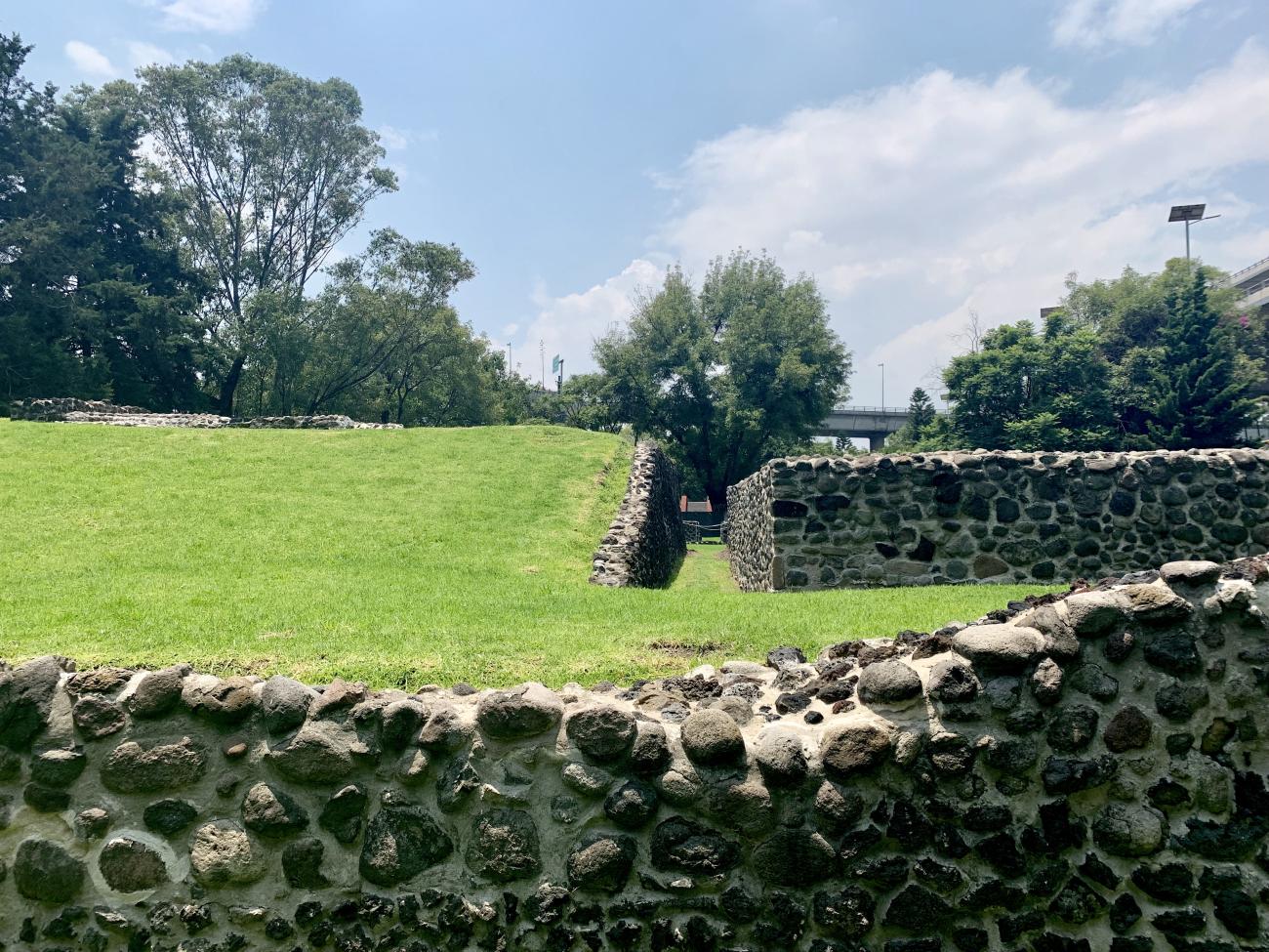
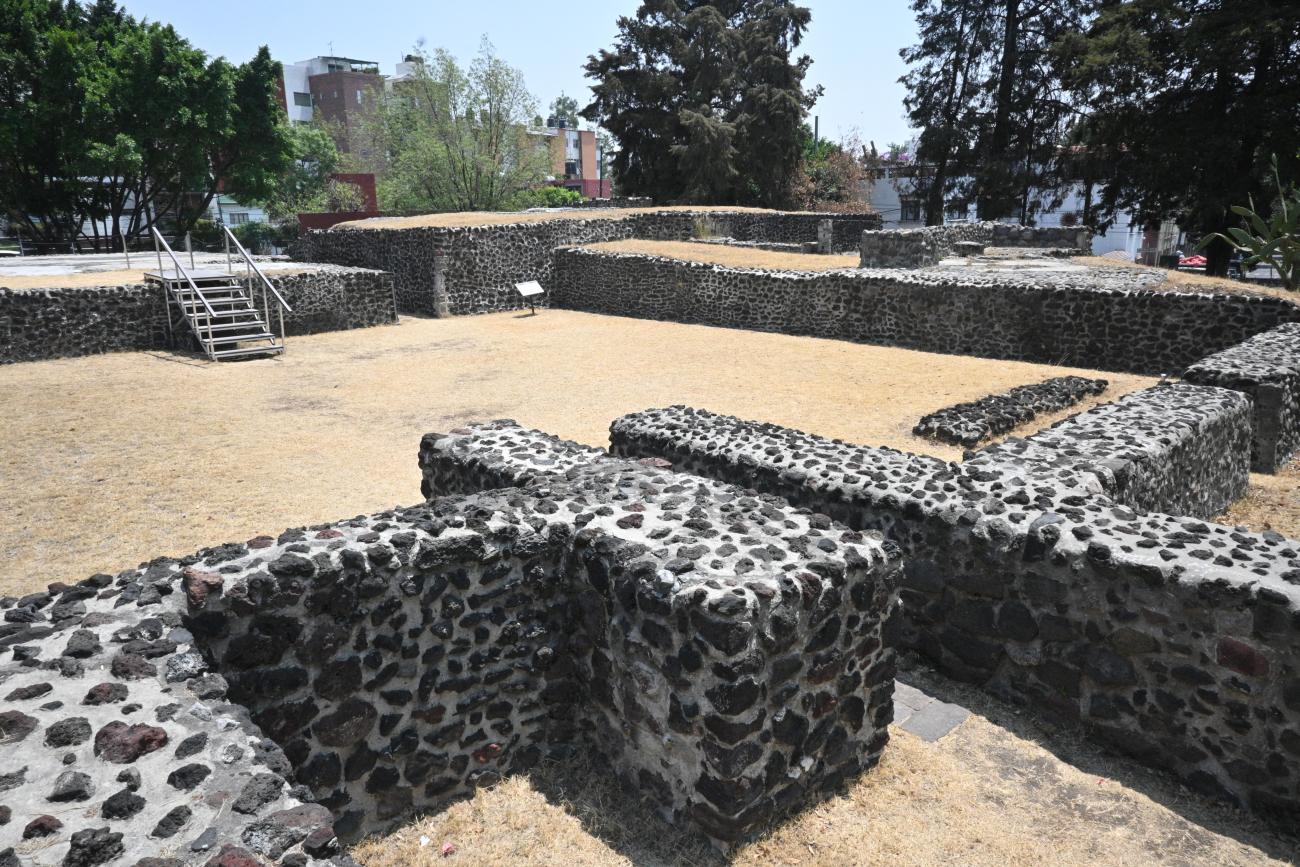
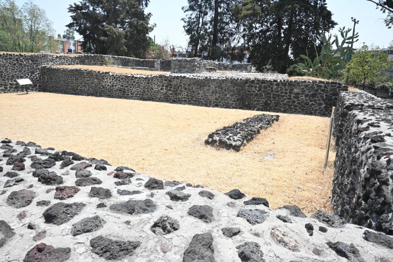
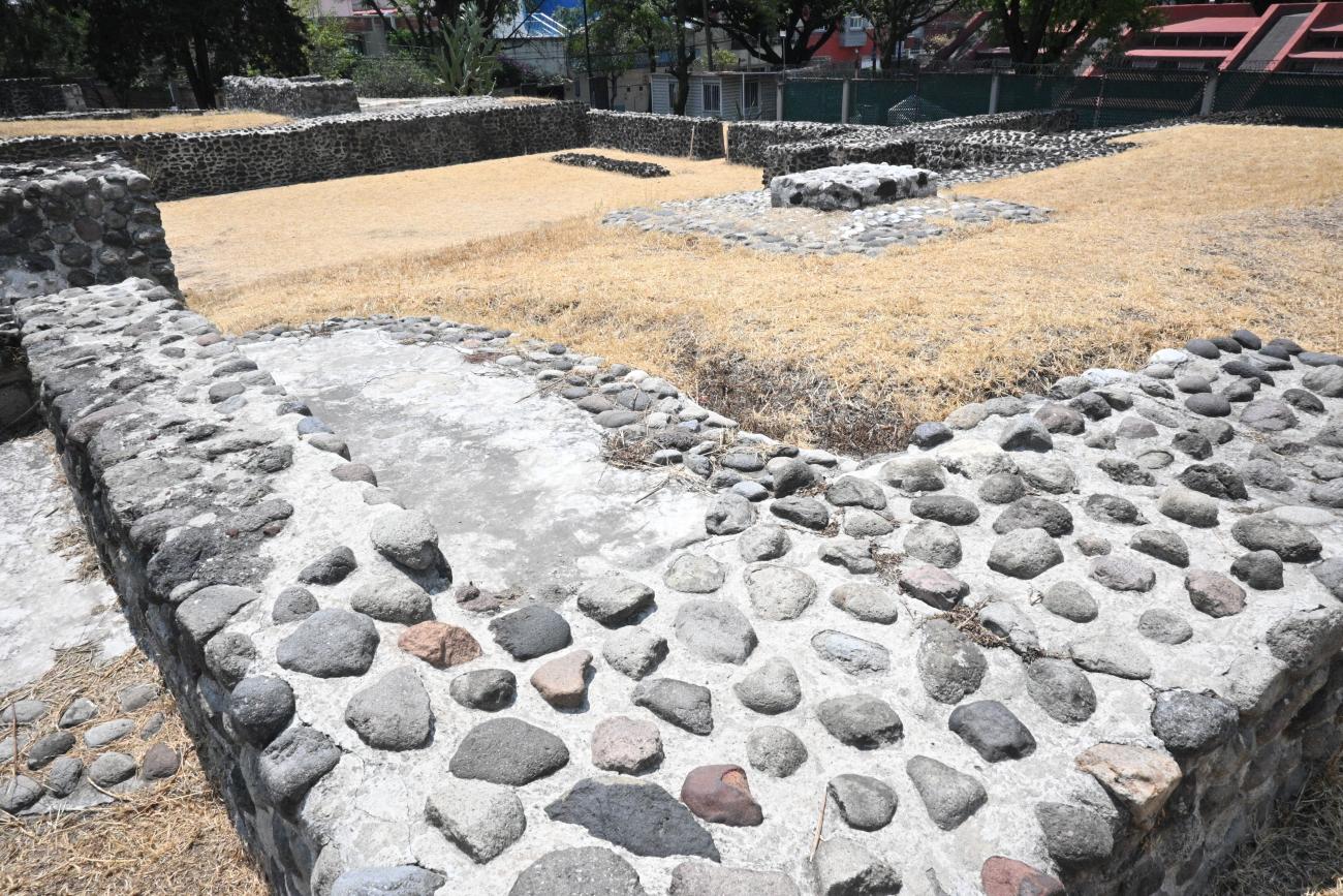
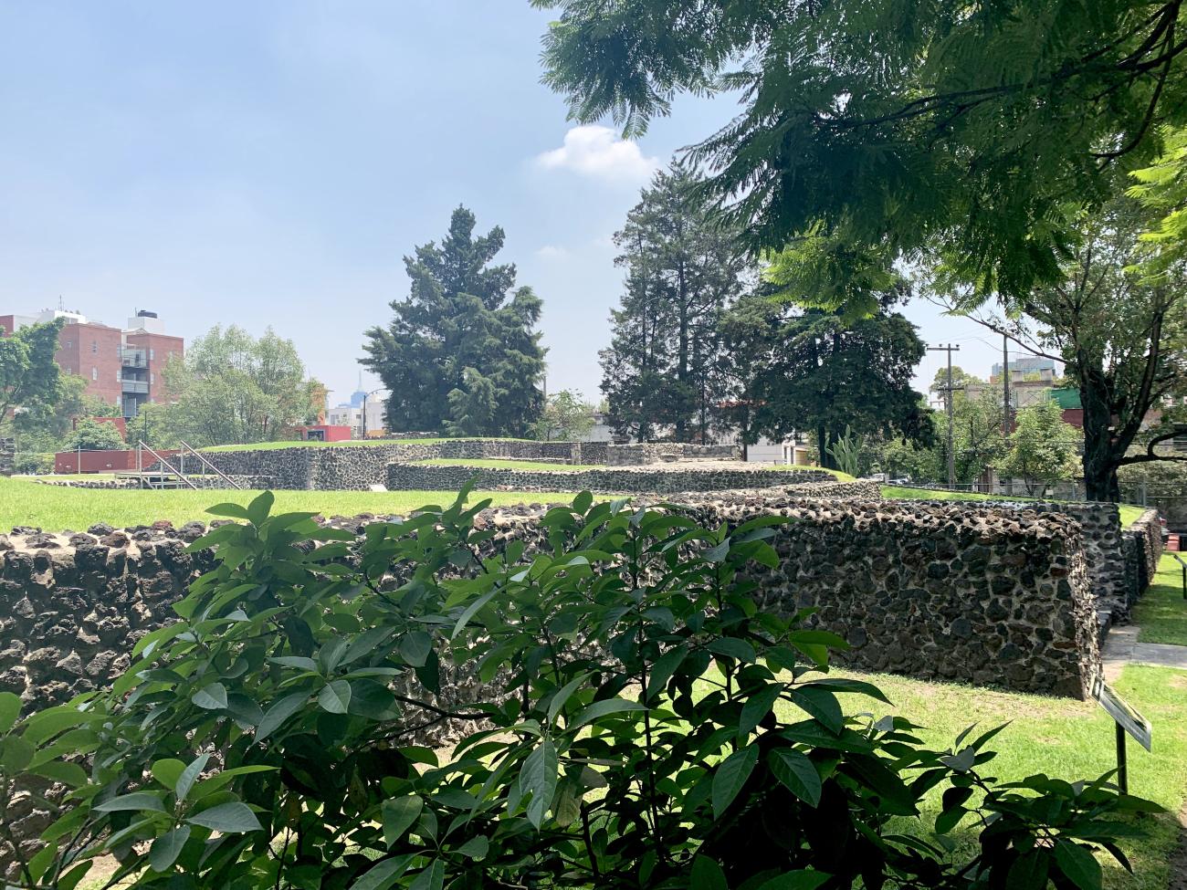
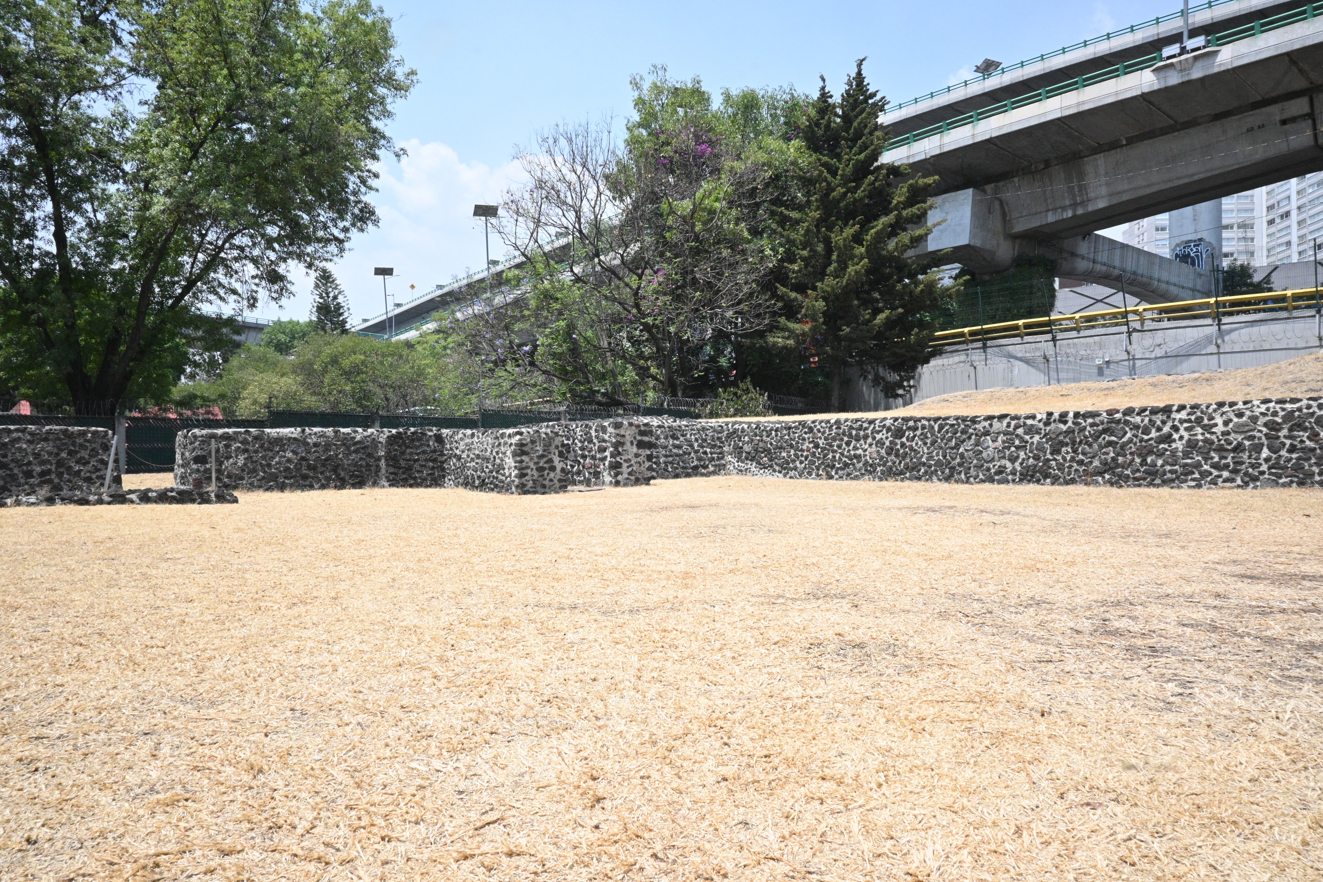
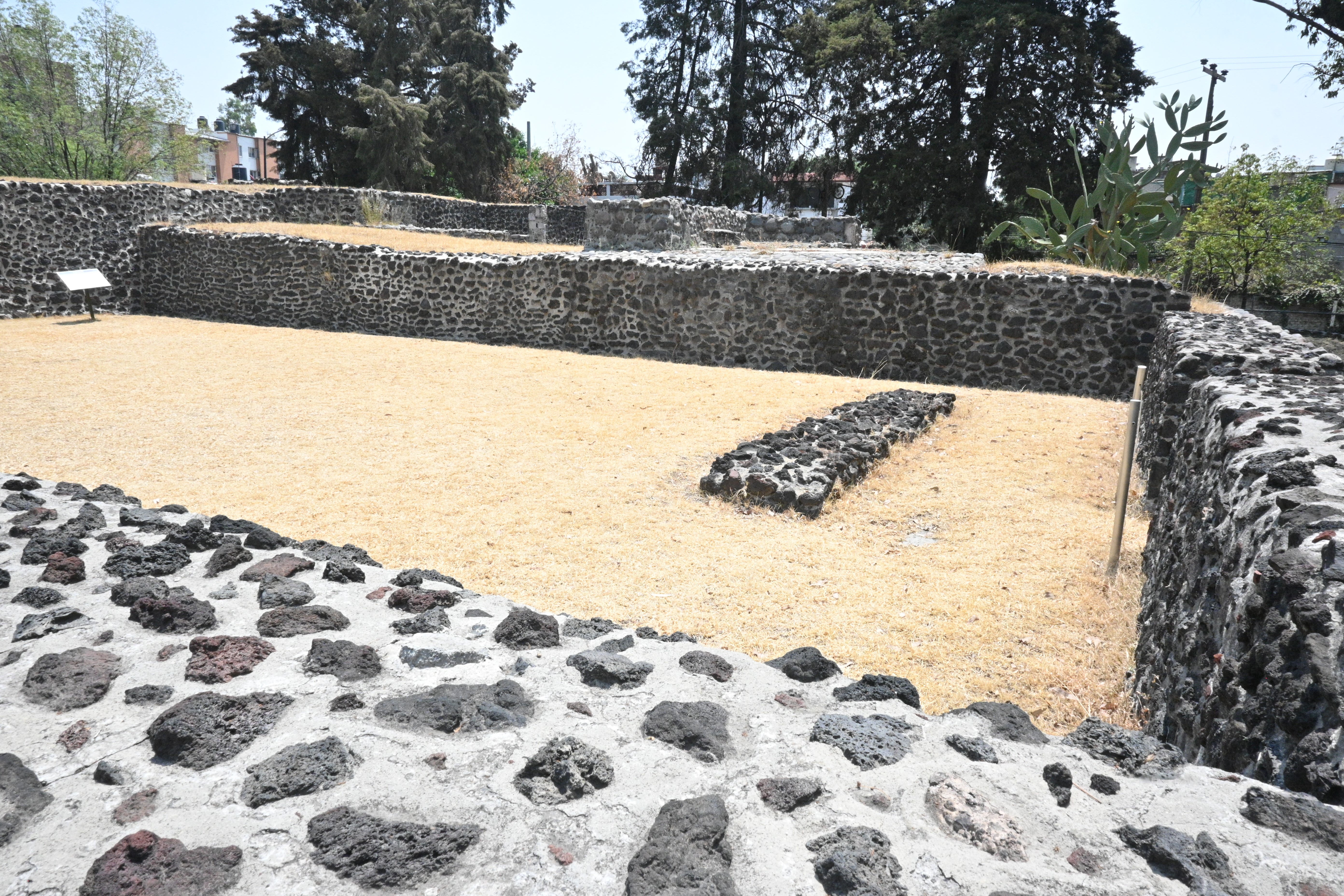
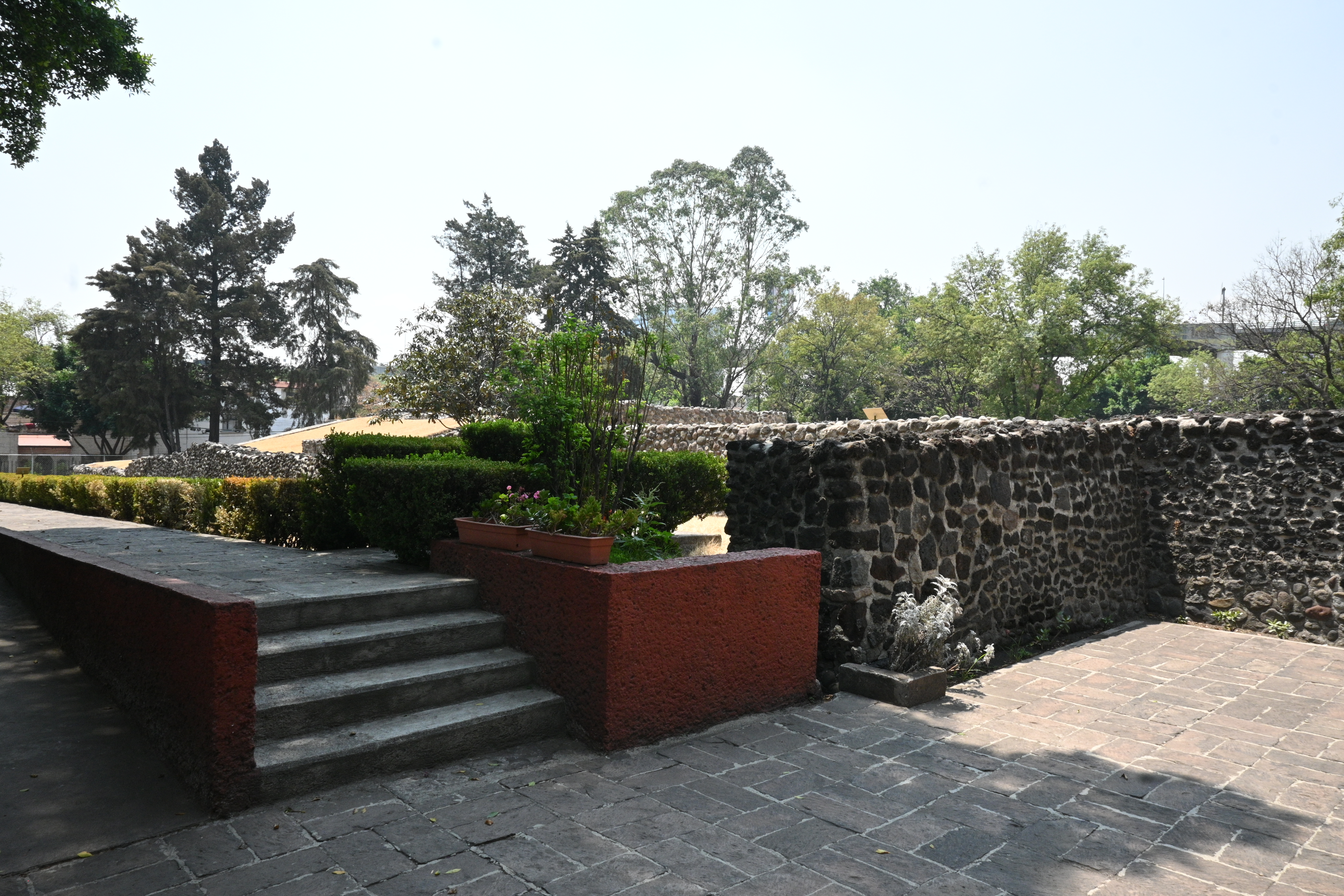
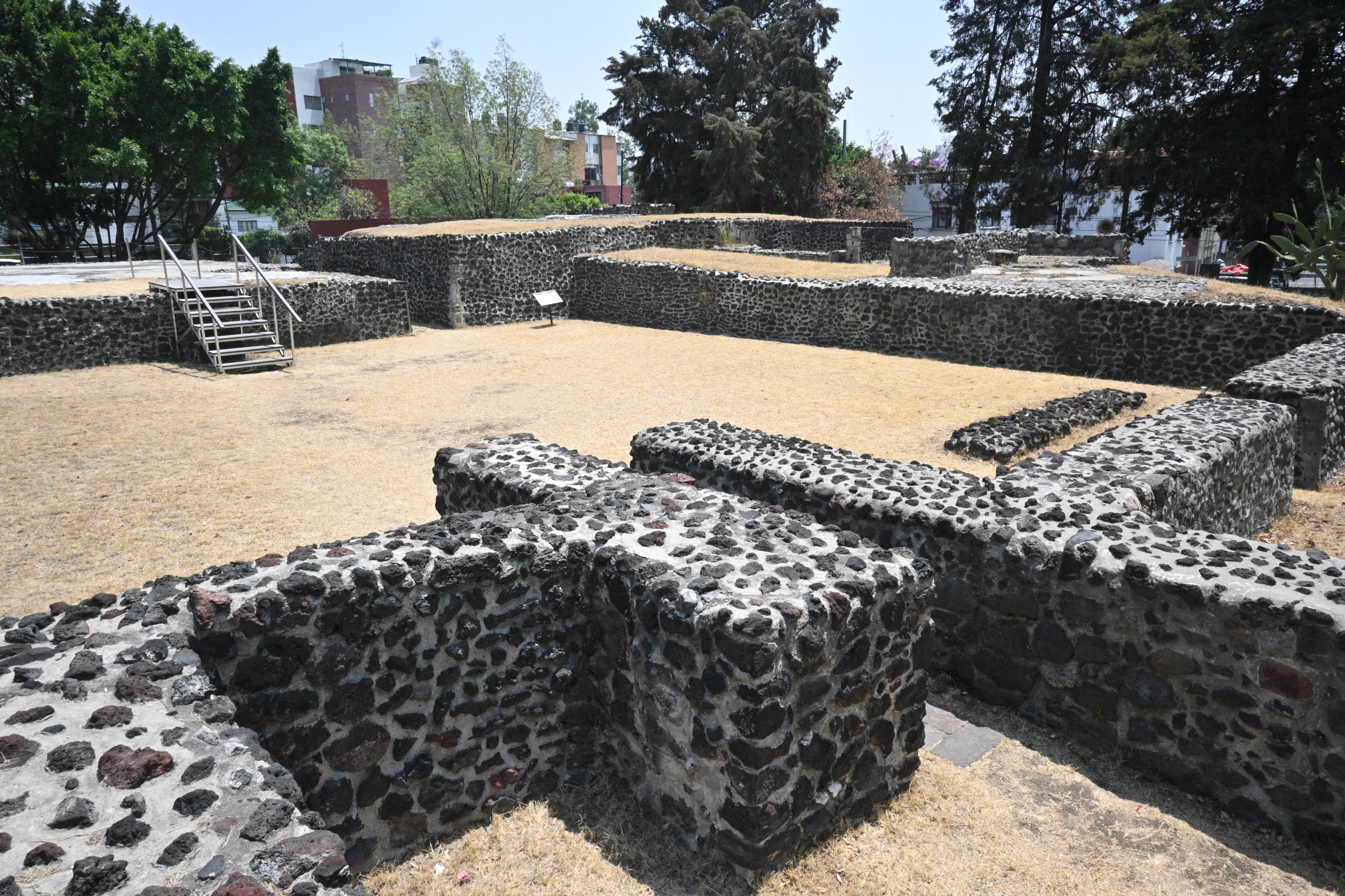
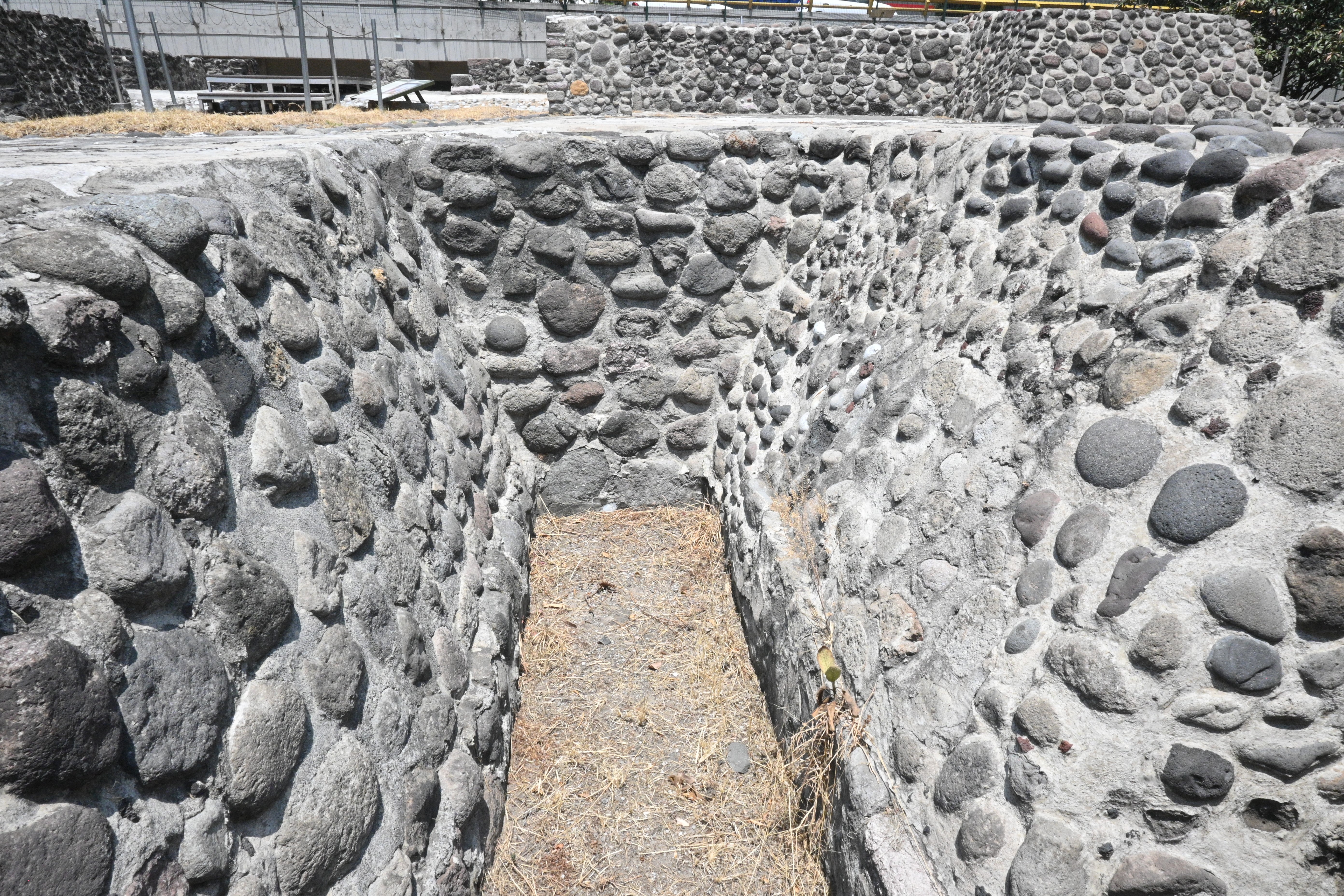
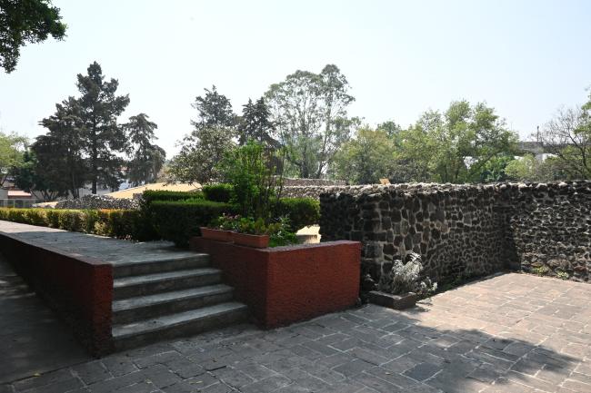
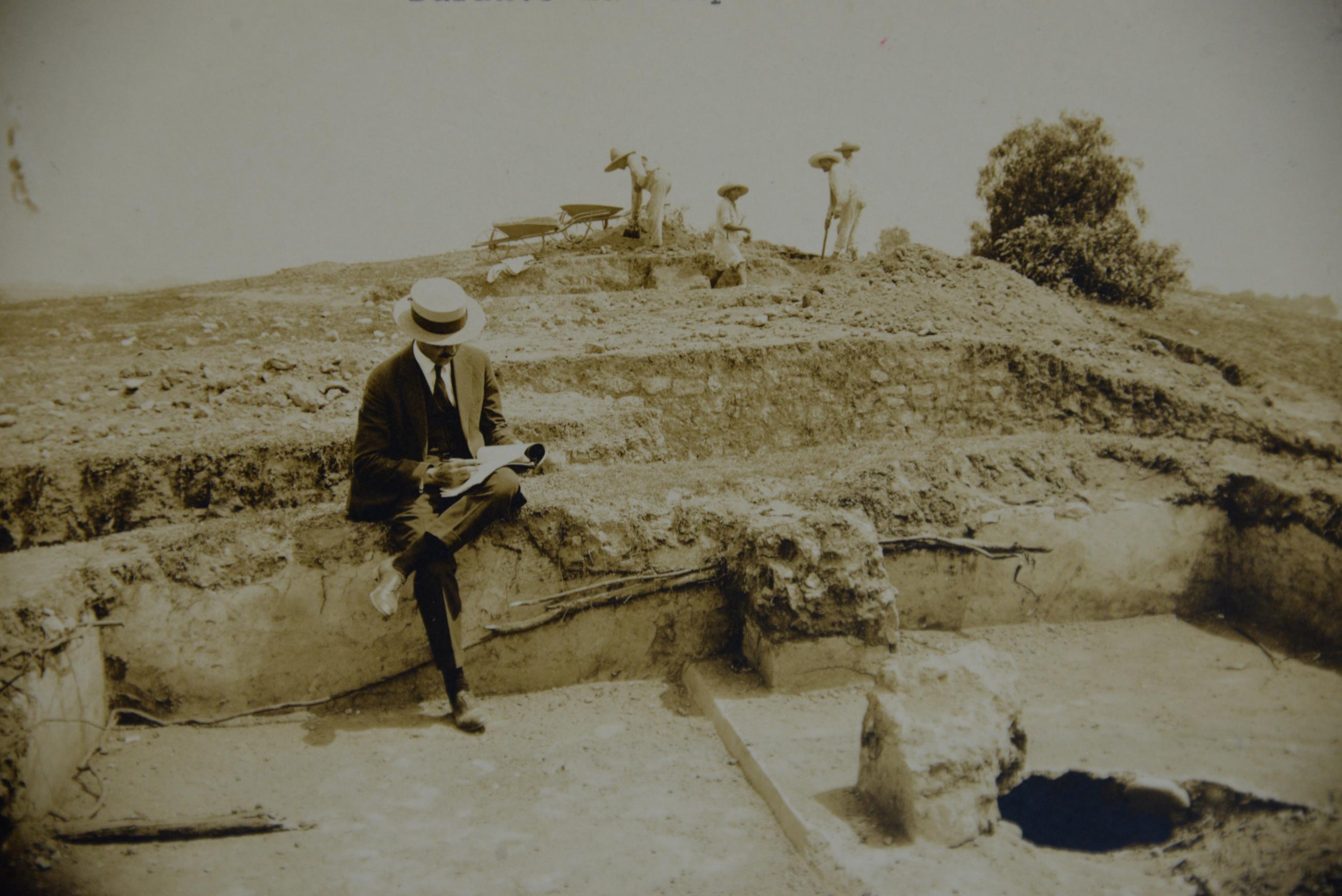
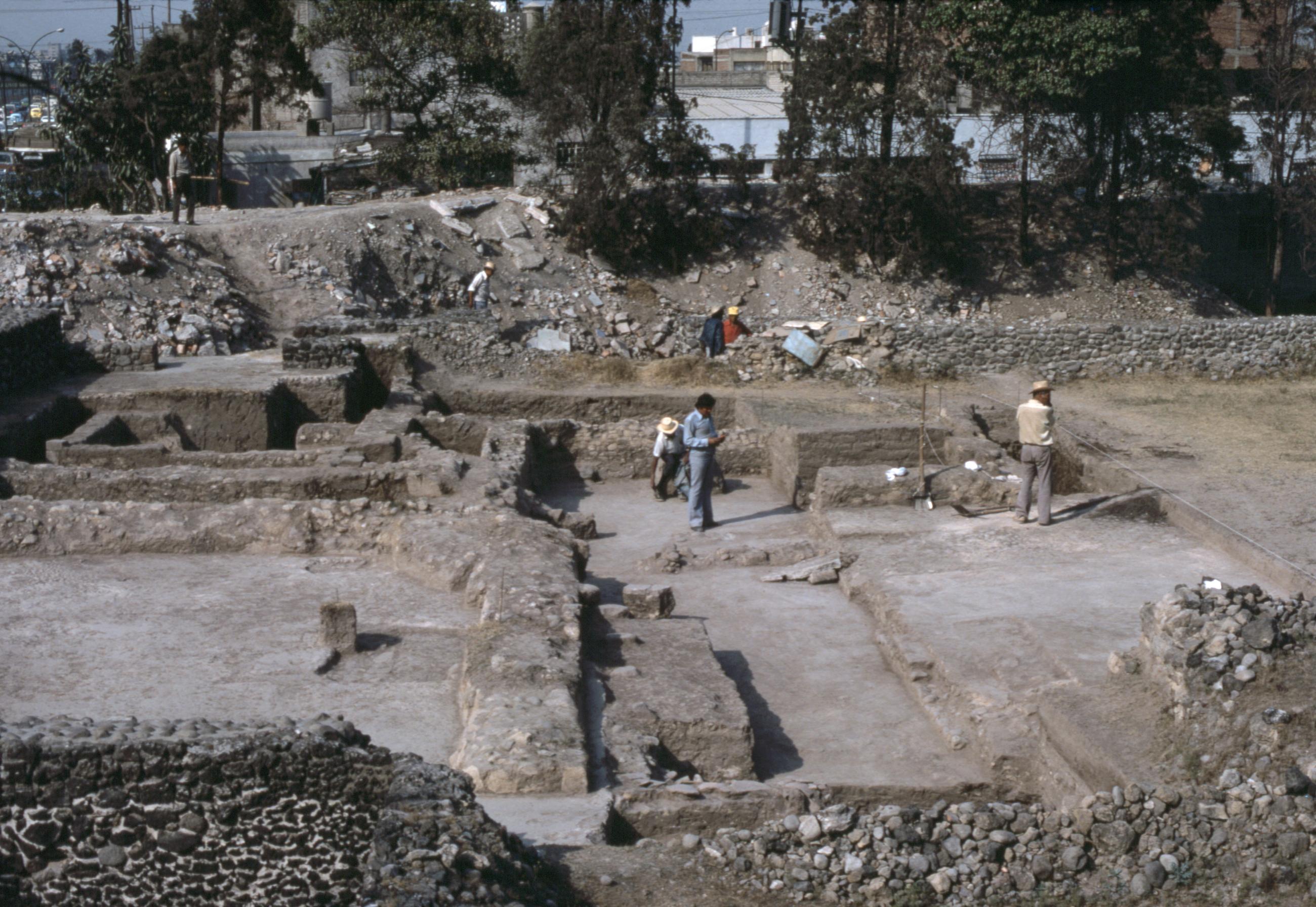
The site enjoyed an exceptional location close to the shores of a large lake, as well as the rivers and streams which descended from the mountainous zone located to the west of the city. The Mixcoac site features a variety of buildings, most notably: the main pyramid or plinth and the central patio to the north of which there is a platform with a rectangular base that retains signs of stucco. There are also walls of rooms and other buildings. The site was identified and described for the first time by Francisco Fernández del Castillo, who named it Mixcoac when he found the place name on the Uppsala or Santa Cruz Map drawn in 1550. As a result of protective measures taken against looting, Manuel Gamio appointed the archeologist Eduardo Noguera in 1920 to excavate and interpret the site.
Material from Noguera’s excavation of the site, and from more recent excavations of the surrounding areas, indicate that the site was occupied for a long period with notable archeological finds from the Xolalpan and Metepec phases of the Teotihuacan period, between 450 and 600 AD, brought to light during the construction of the San Antonio metro station. The site reached its peak during the Postclassic, which lasted from 900 to 1521 AD. The plinths of the region were enlarged, as well as the administrative and dwelling areas.
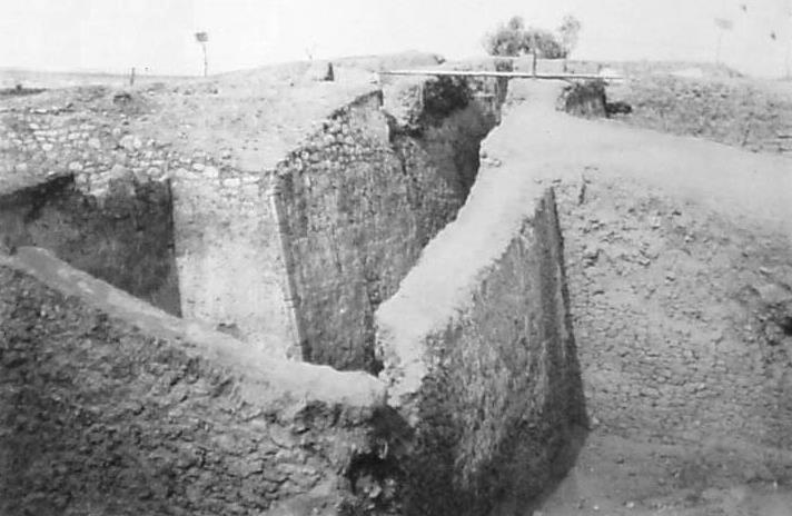
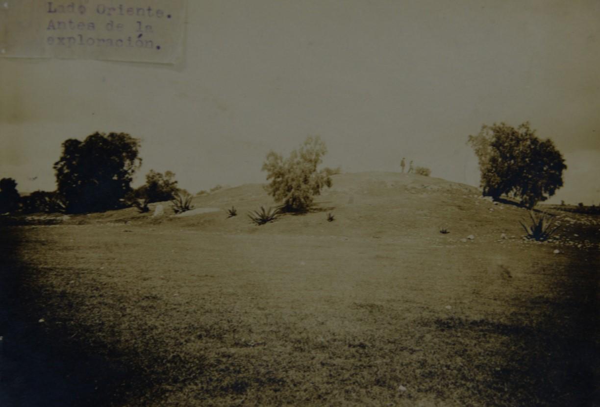
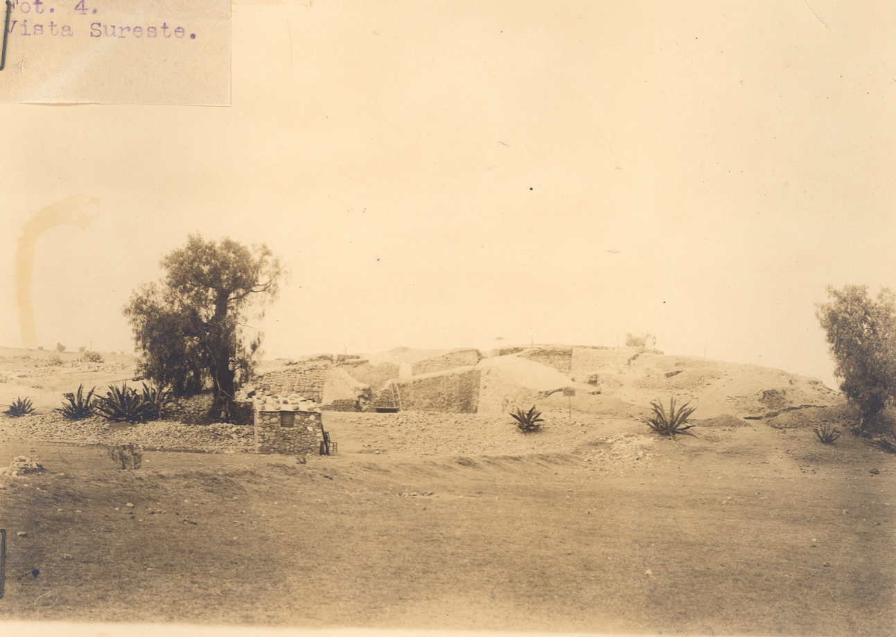
At present only a small part of the site’s administrative and ceremonial area has been preserved, which presents periods of construction identifiable from the archeological evidence. The buildings have been partially restored and the following areas are open to visitors: a pyramid dedicated to the god Mixcoactl, the eastern platform and its adjoining buildings, the central patio and its surroundings, and the western platform with its ceremonial plaza.

- Subdirección de Investigación y ConservaciónLaura Castañeda Cerecerolaura_castaneda@inah.gob.mx+52 (55) 5522 4108ResponsableRoberto Gallegos Ruiz+52 (55) 5271 4919