


Lagartero
John Lloyd Stevens described it as “a wild place of incomparable beauty…” The great civic and religious center is located on the island of El Limonal (lemon grove) and the rest of the vestiges are dispersed on little islands and peninsulas in present-day Lagos de Colón.
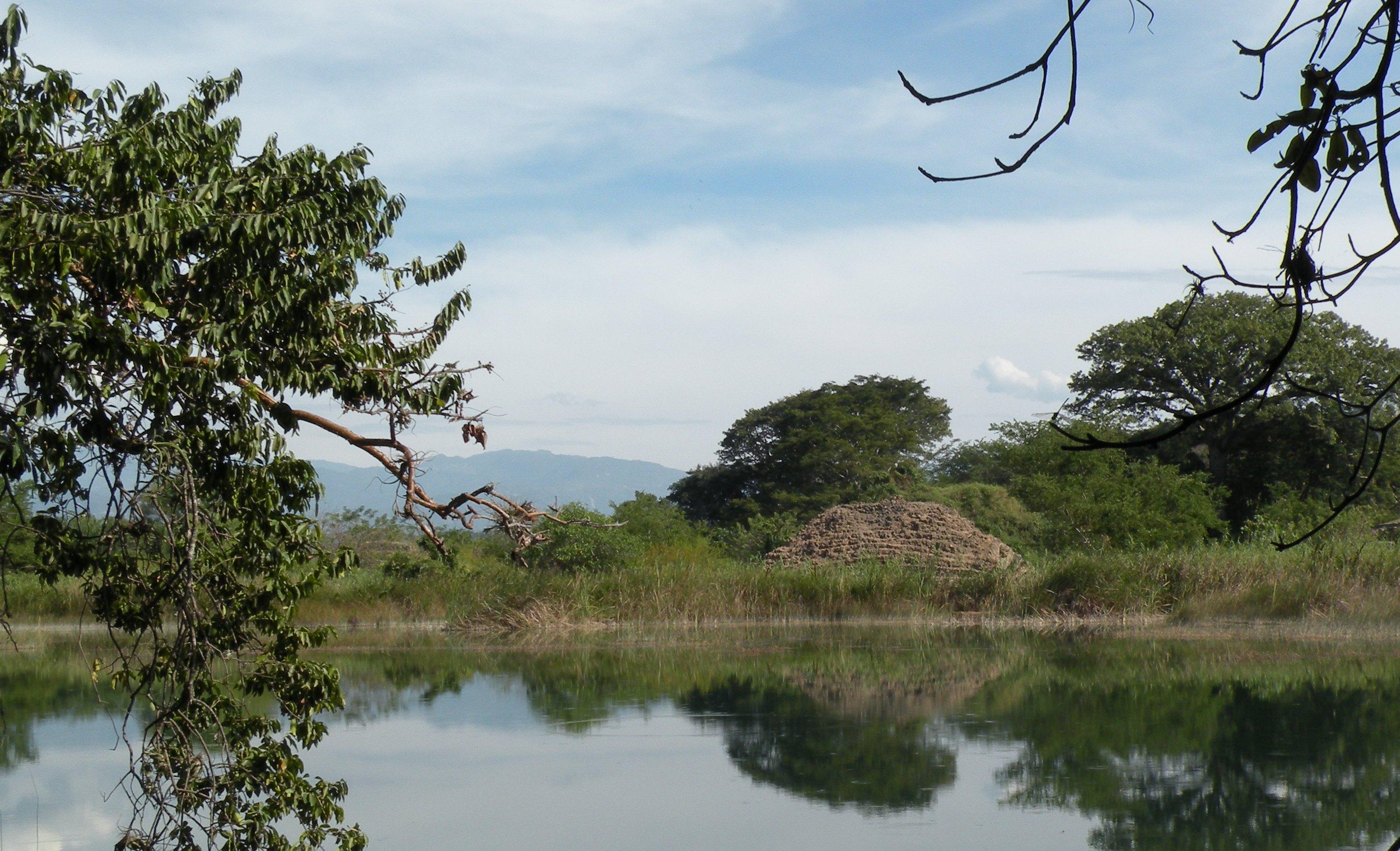
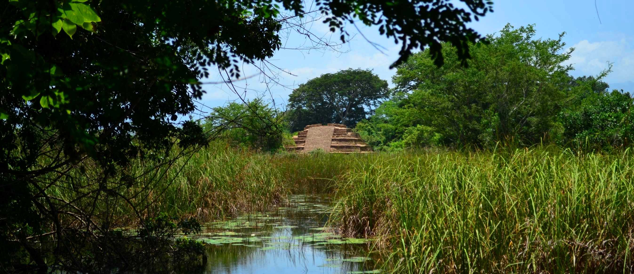
The part of southeast Chiapas where the El Lagartero archeological site is located has a series of islands, lakes and streams surrounded by forests. The site is in the ejido of Lagos de Colón, in the Municipality of La Trinitaria, at the foot of the Sierra de los Cuchumatanes very close to the Guatemala border.
The area was settled from the early Classic (300) until the Late Postclassic (1400). However it reached its peak in the Late Classic (700-900), which can be seen from the architecture and from the polychrome codex style ceramics; and this is why the city may be considered the great civic-religious center of the region. A large part of the archeological site is on small islands and peninsulas jutting out into the lakes, on the islands of Cangrejo, El Sabino, Hasam, Puente de Mora and El Búho. There are also reports of mounds making up small plazas and well-preserved structures on small unnamed islands.
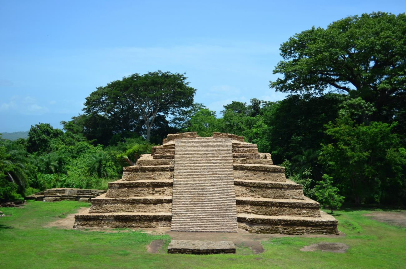
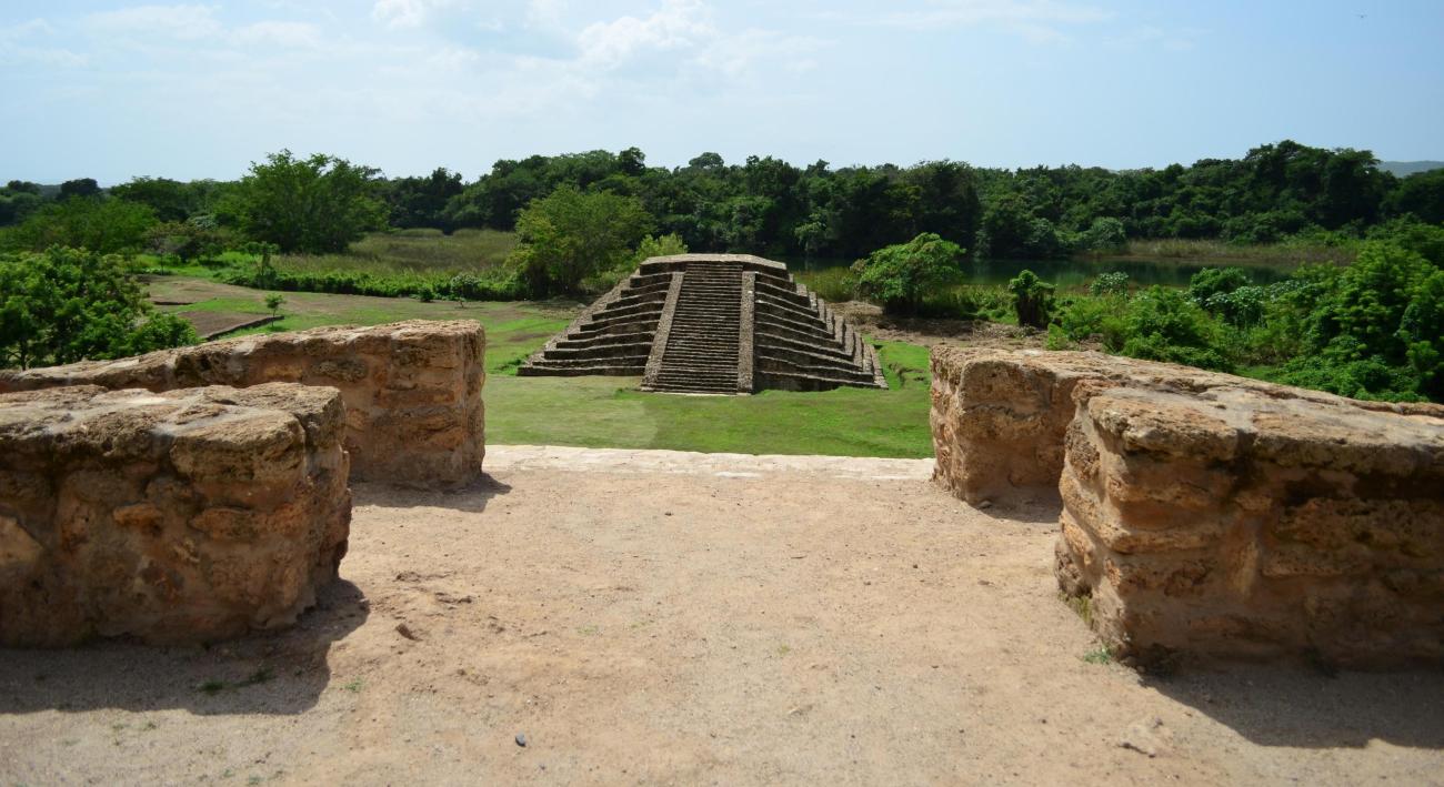
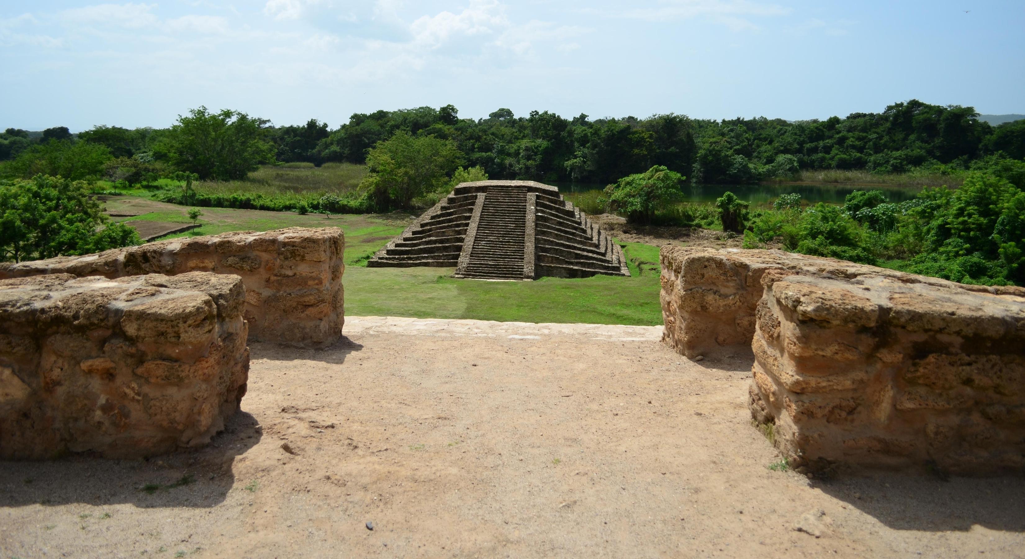
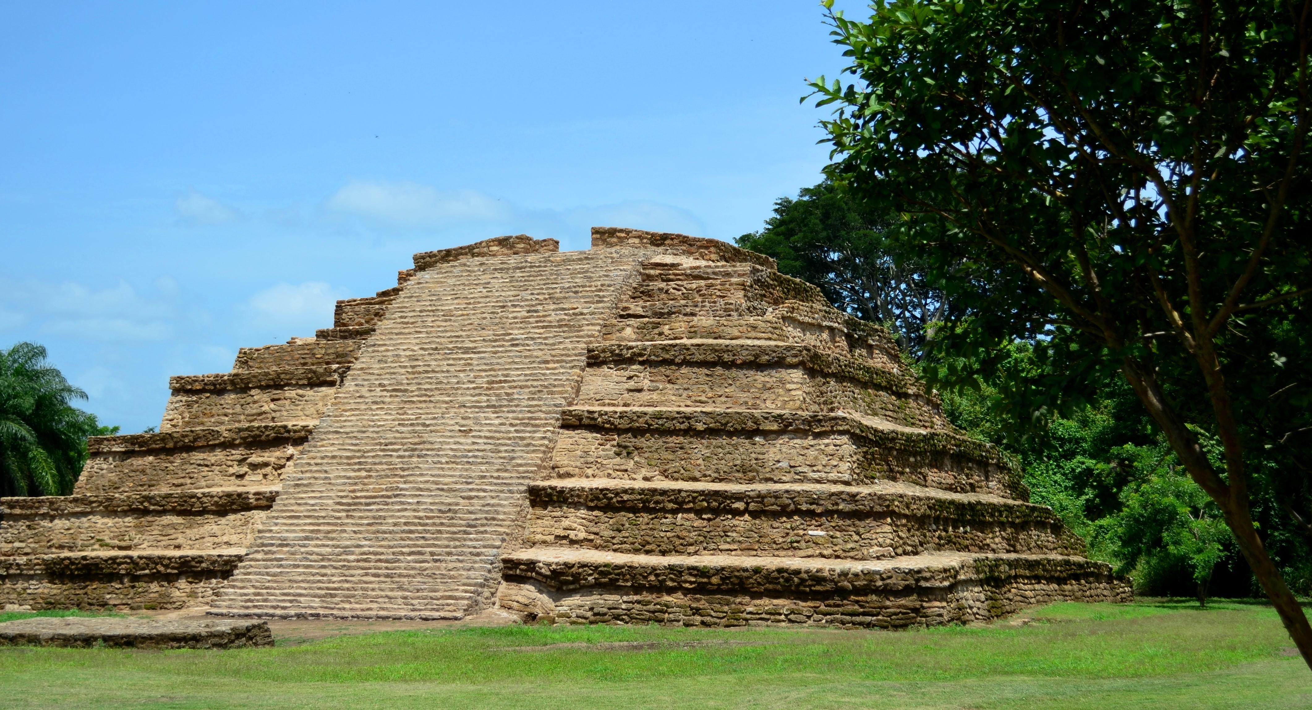
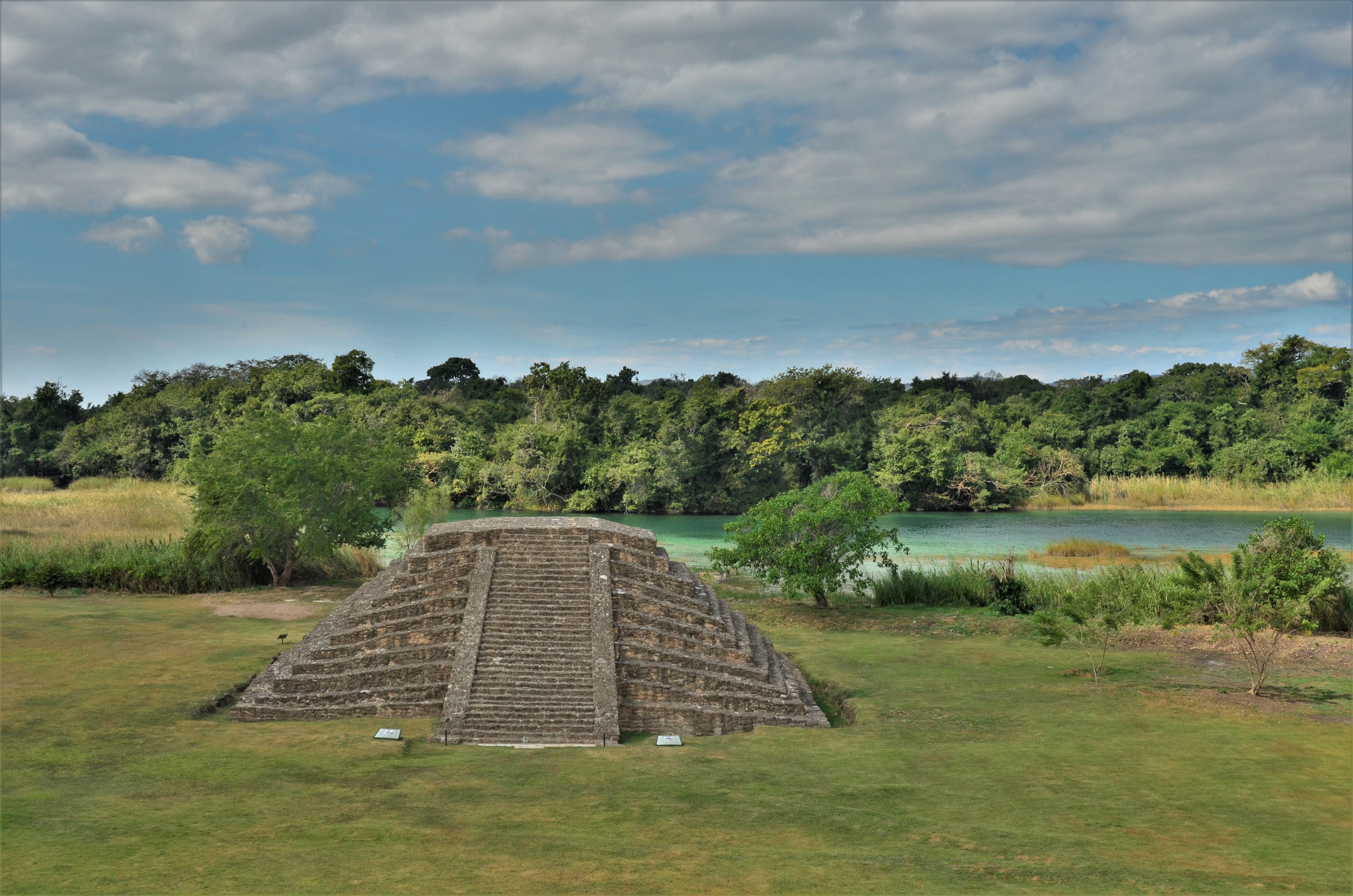
The largest island, El Limonal, has the site’s central area. The island is in an area of lakes and swamps which are fed by springs as well as by the rivers Lagartero and San Lucas, upper tributaries of the Grijalva River. The underlying rock is limestone, which gives rise to a varied karst topography of crater shaped depressions, sinkholes and fissures. The vegetation is an exuberant type of scrubby forest. The plinths for each dwelling form courtyards, and the highest concentration of these is in the south part of the island. The core ceremonial area is at the north end of the island. It has altars, some small structures and six large ones: pyramids 1, 2, 3 and 4, a ballcourt and a great platform.
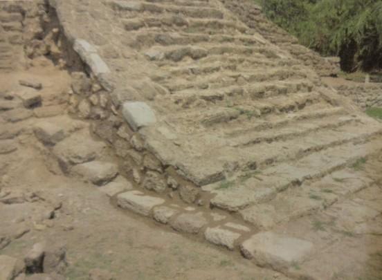
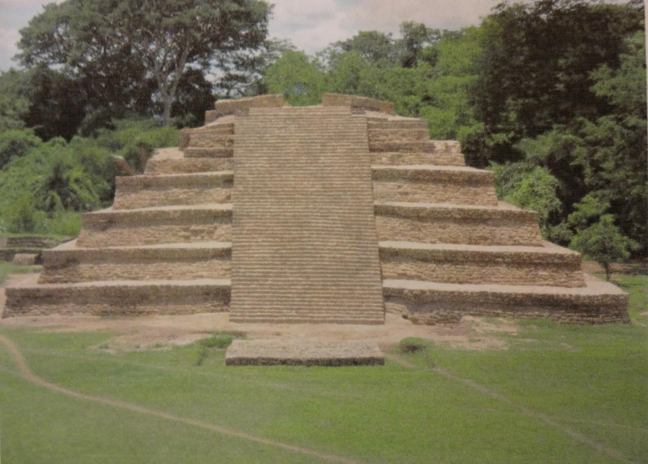
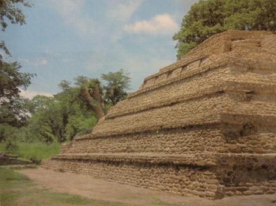
The main buildings include more than 15 pyramids, the largest of which is 40 feet high. There are also open and closed plazas, as well as isolated and interconnected platforms of different sizes. Plazas were defined by their civic and religious structures, while residential buildings stretched out along the lakes. Stone extracted from cenotes was used for construction, and being porous and soft, it was easy to work, but also eroded and disintegrated easily, which is why few temples made from this stone have survived. The ancient inhabitants of El Lagartero lived by farming corn, beans and other plants and marine species.
- Dirección del Centro INAHLeobardo Daniel Pacheco Ariasleobardo_pacheco@inah.gob.mx+52 (961) 612 2824
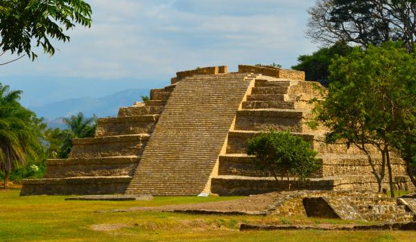
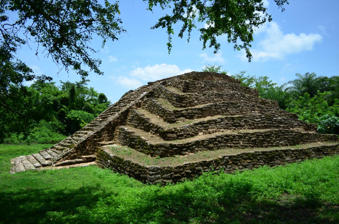
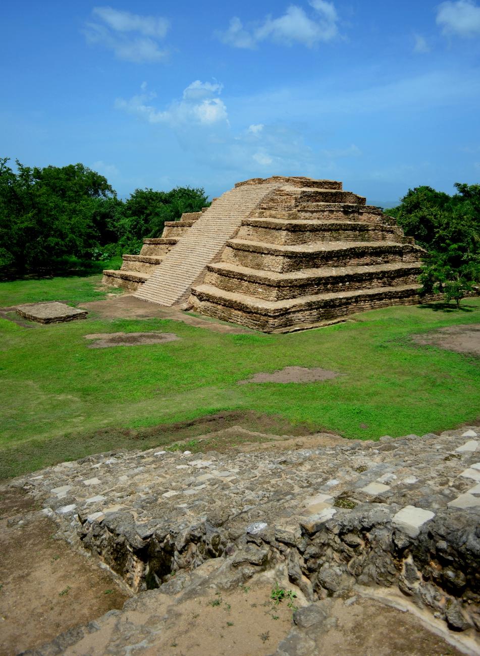
Pirámide 2
Located to the east of the square, it is about 11 m high, has an average base of 20 m, and its stairway is located to the east.
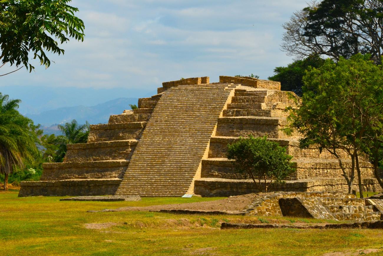
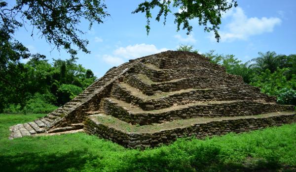
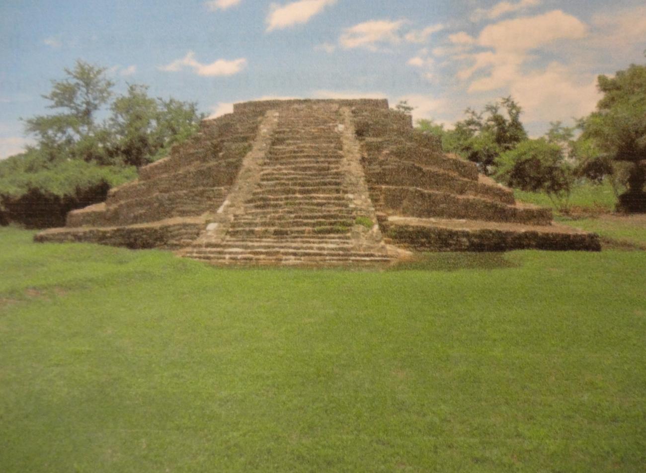
Pirámide 3
It limits to the north of the main square, has a height of 7 m and an average base of 20 m, with an access stairway on the south side, limited by alfardas.