


Real de Catorce
Historical Monuments Zone
Abstract
Real de Catorce was founded during the colonial period, when the interest in mineral deposits brought about the conquest and later urbanization of the area. The bonanza resulting from its mines is laid out in its buildings, roads and plazas.
This town is situated to the north of San Luis Potosí state, in the municipality of Catorce, where it is the chief town; it was the center of one of the most important mining regions in New Spain, thanks to the extensive exploitation and great mineral wealth exported to the Spanish crown.
Real de Catorce was founded in 1772 under the name Real de Nuestra Señora de la Concepción de Guadalupe de Álamos, with the aim of establishing a population for the exploitation of the mineral seams. In August the following year a seam was discovered at a site known as Los Catorce, giving rise to the first request to register a mine in the region.
On October 25, 1780, once the map had been prepared for the distribution of lands for the plaza and streets of this new Real, legal possession was granted to the applicants and the new name of the settlement was established: Real del Nuevo Guadalupe de los Catorce. In 1782, in less than one month, 48 silver mines were discovered, including La Descubridora, La Maroma and La Purísima. As a result, the town expanded rapidly together with the fame of its mines; this was a boom period for the many fortunes won at the time, and the construction of chapels and hermitages began.
In 1873, dynamite was used for the first time in Mexico in the La Purísima mine, in place of gunpowder; by 1893, Catorce had also introduced the use of electric power in the operation of the mines. Meanwhile, in 1883, the Congress approved a contract to establish a railroad line linking El Potrero with El Cedral; though it was not until May 1888 that the machines of the national railroad network arrived to build the Catorce Station.
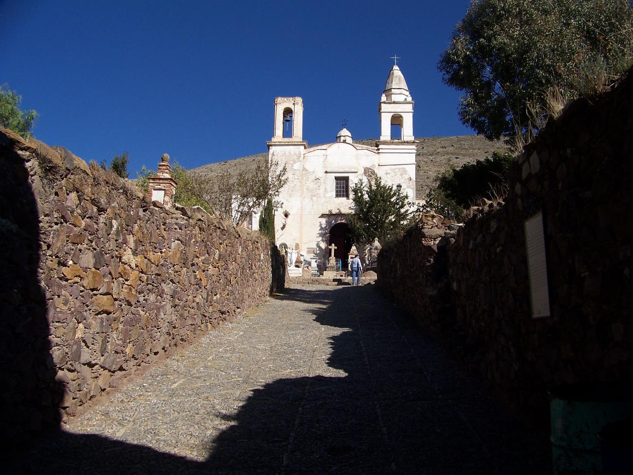
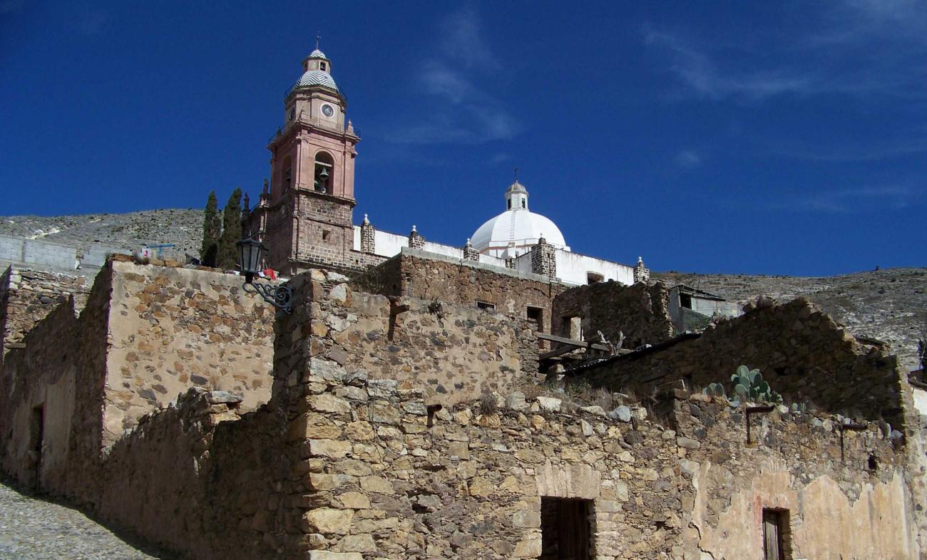
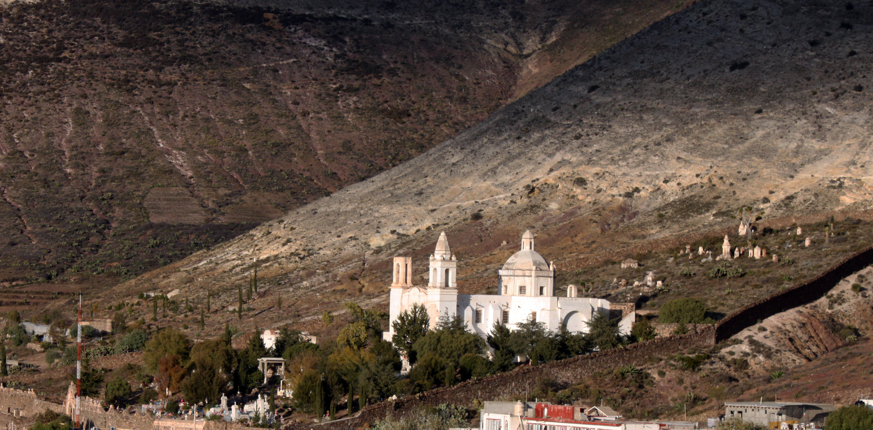
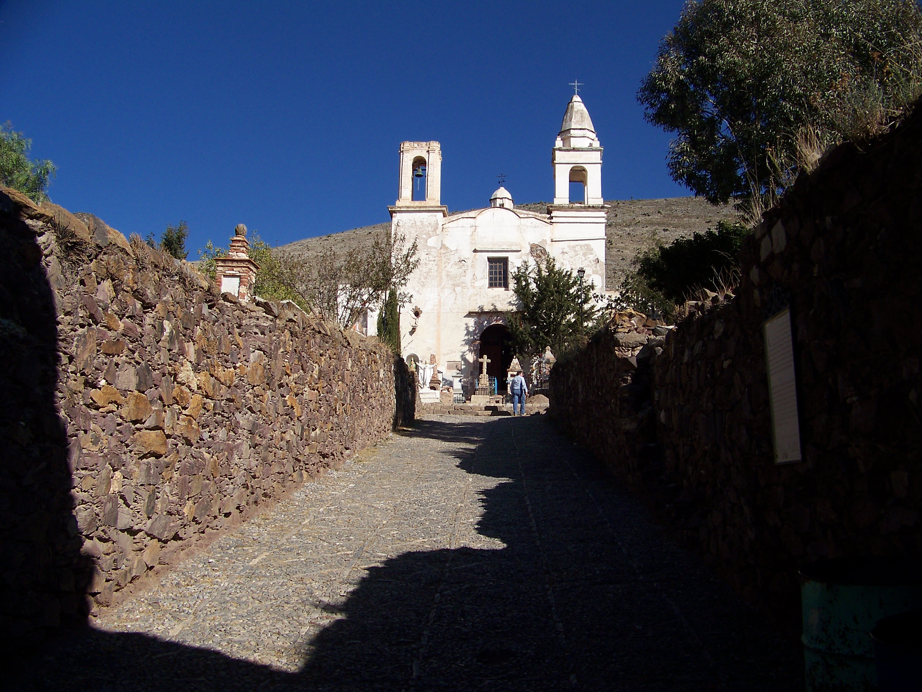
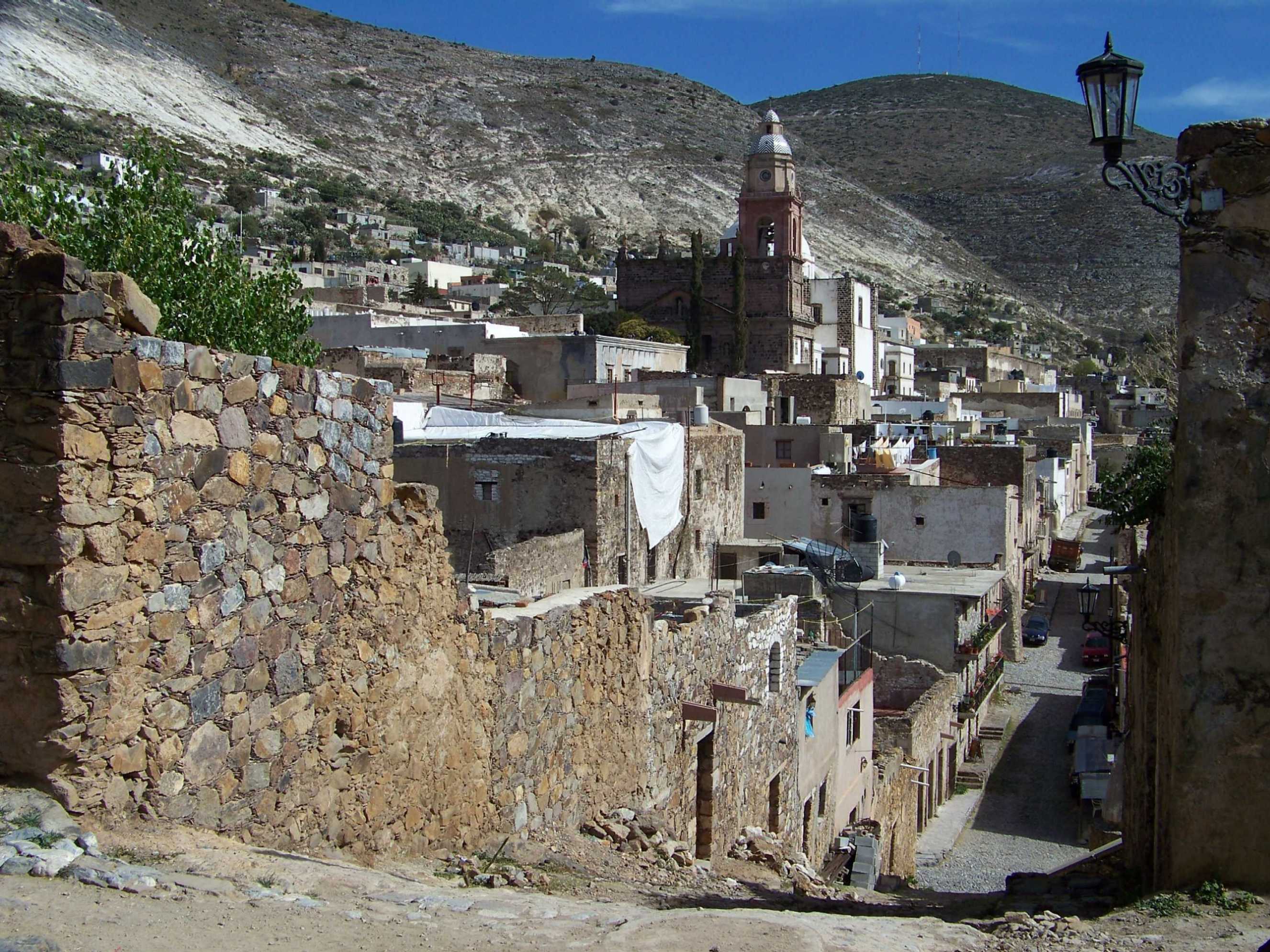
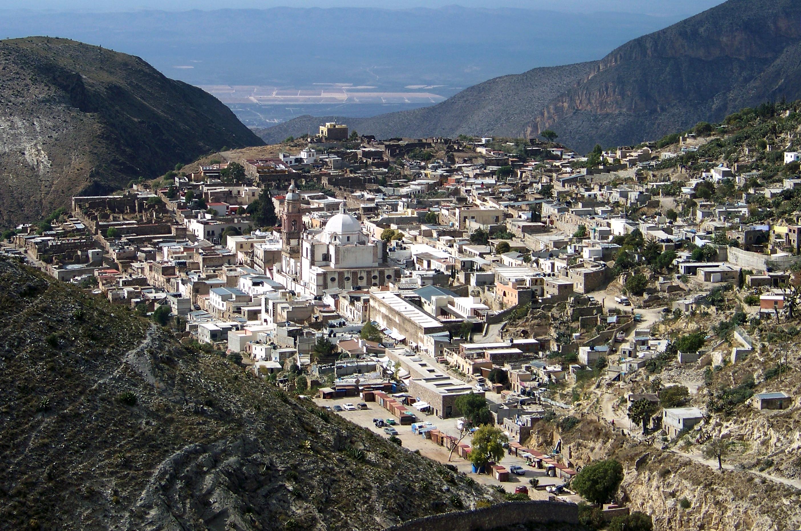
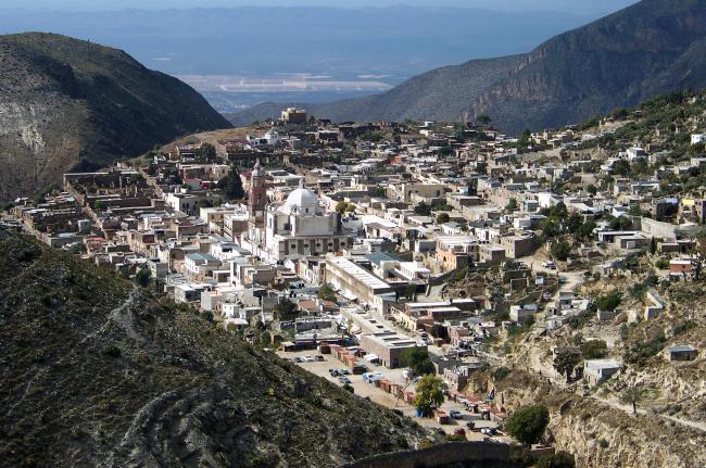
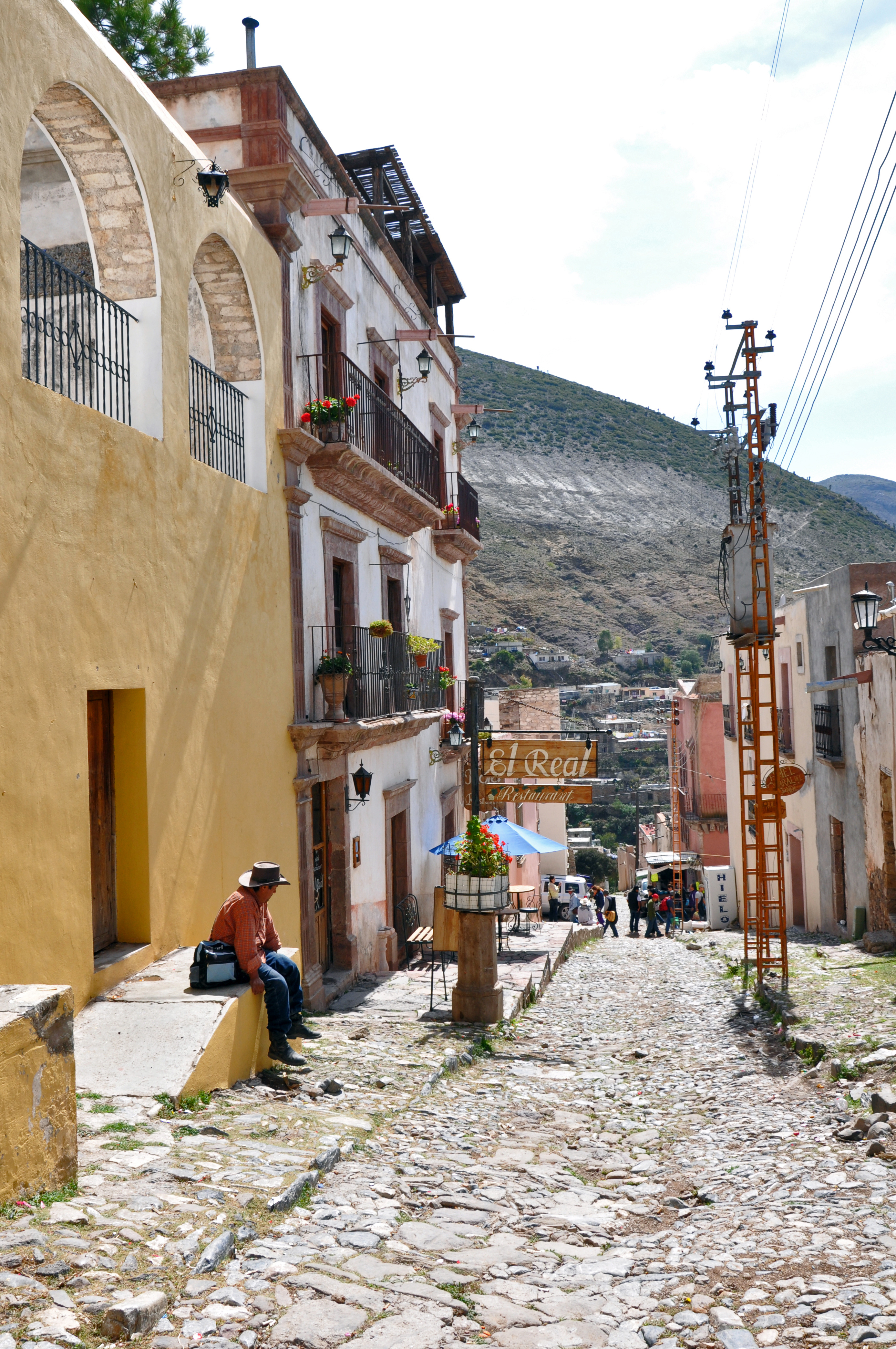
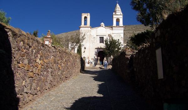
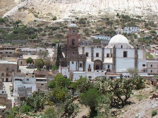
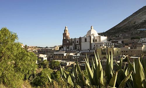
Thanks to its exceptional beauty and great historical value, Real de Catorce was declared a Zone of Historical Monuments on November 29, 2012. It covers an area of 0.395 km2 and includes 68 blocks with 123 historical monuments built between the 18th and 19th centuries. These present different architectural forms of expression from the different periods. Some were built for religious worship, including the Purísima Concepción parish church, the Túnel Ogarrio chapel, the Santuario de Guadalupe church and the Chapel of Rest in the cemetery. Others were intended for silver production, such as the haciendas in San Agustín, La Purísima, La Concepción, Santa Ana, Ave María and Buen Suceso.
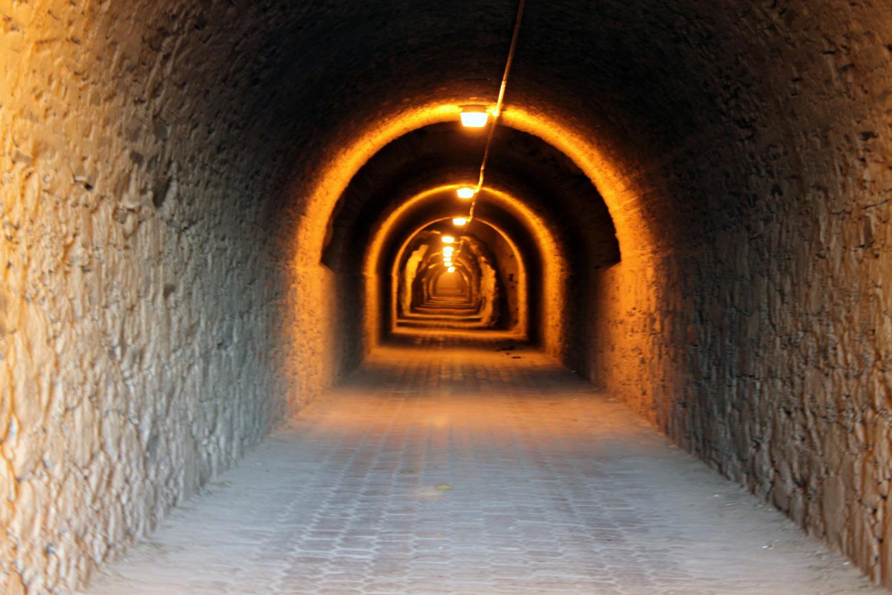
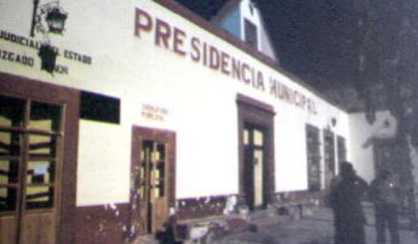
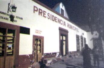
Other buildings were built for public services, such as the town hall, the mint, the arena, the bullring, the San Francisco cemetery, the Guadalupe cemetery, the Ogarrio tunnel and the bridges Jesús, Zaragoza, Santiago, de Nuestra Señora de Guadalupe, San José and Purísima Concepción. There were also sites built for public embellishment, such as the Plaza de Armas, Plaza Zaragoza and the fountain.
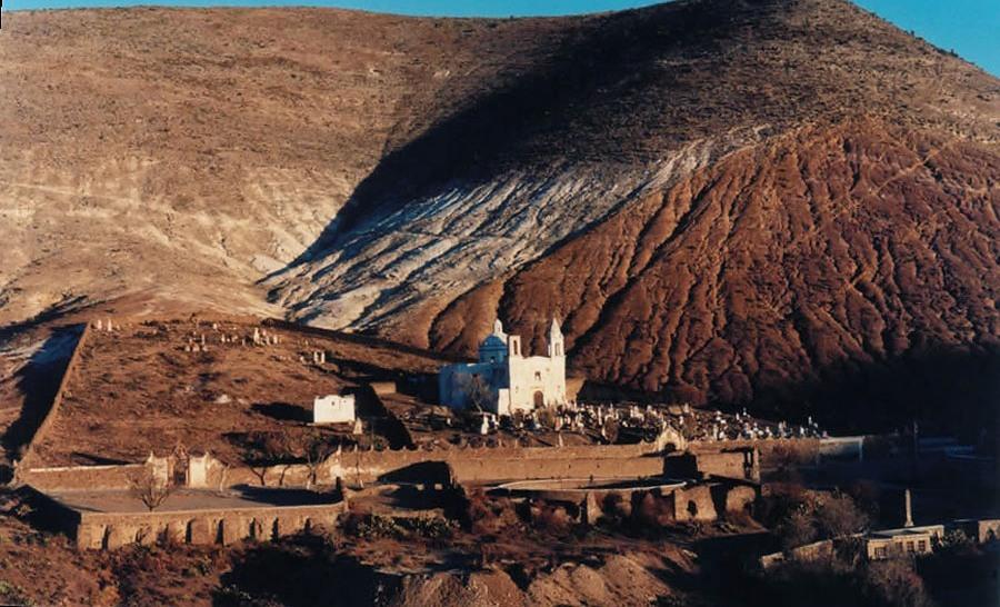
Worthy of special mention are the roads and communication routes that made it possible to transport the materials required for silver production, such as the Potrero road and the La Purísima hacienda road, which were key to the later growth of Real de Catorce. The urban layout is well integrated into the mountainous natural landscape, with the outline of the religious buildings and a few mansion houses standing out more prominently.

Categoria
Real de Catorce_croquis_portada
Adscripción
Créditos
INAH Mediateca

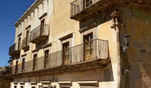
Antigua Casa de Moneda
Construction of this building began in 1863 by Santos de la Maza, with two purposes: the Mint and the home of the de la Maza family. The former was inaugurated in 1865 but was closed a year later by Maximilian of Habsburg.
Antigua Casa de Moneda
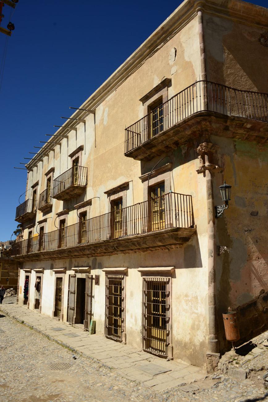
Construction of this building began in 1863 by Santos de la Maza, with two purposes: the Mint and the home of the de la Maza family. The former was inaugurated in 1865 but was closed a year later by Maximilian of Habsburg. In the same year, its machinery was stolen and from then on it was used solely as a family home.
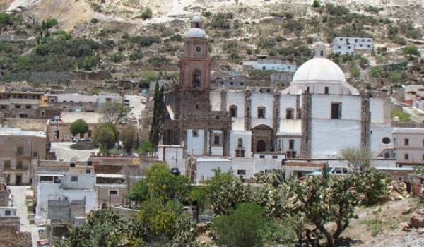
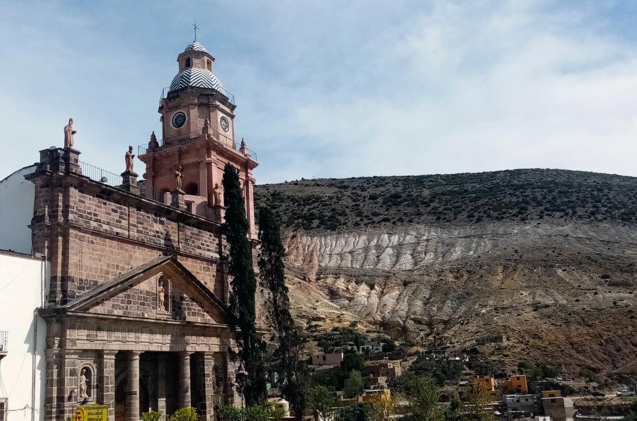
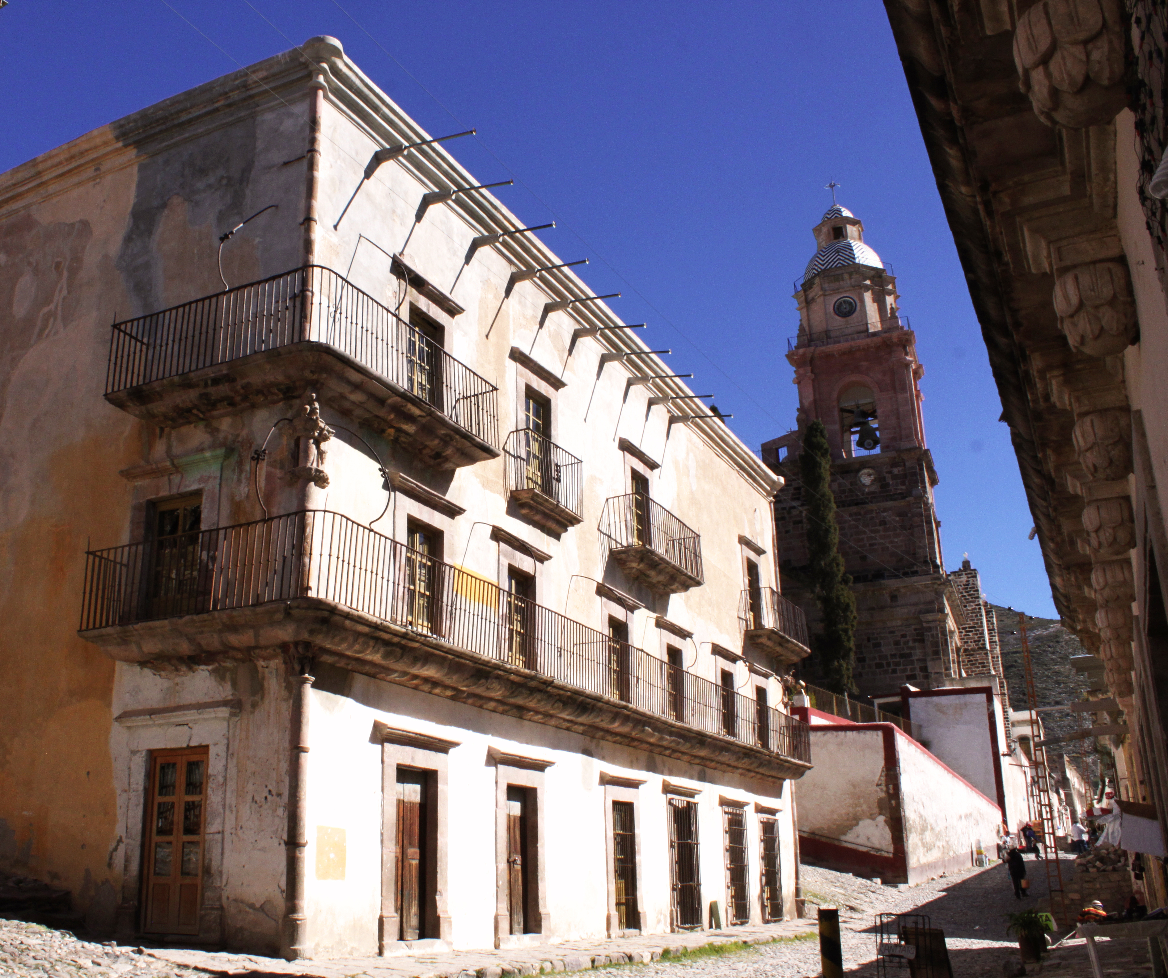
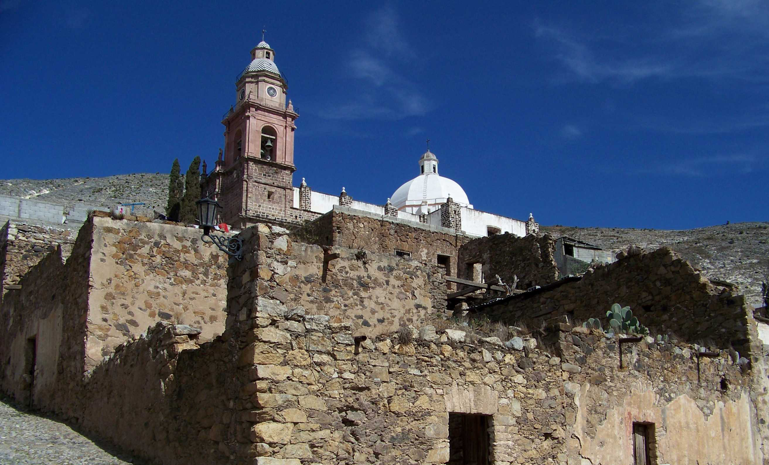
Parroquia de la Purísima Concepción
When the Franciscans arrived in Real de Catorce, they built small chapels, and the miners decided to donate a daily and annual amount to build the parish church. When the bishopric of Guadalajara designated Real de Catorce as a parish, it passed from the Franciscans to the secular clergy.
Parroquia de la Purísima Concepción
When the Franciscans arrived in Real de Catorce, they built small chapels, and the miners decided to donate a daily and annual amount to build the parish church. When the bishopric of Guadalajara designated Real de Catorce as a parish, it passed from the Franciscans to the secular clergy. In 1800, the dome collapsed and a fire consumed some of the altars. In 1807, Juan Crouset was commissioned to repair the church. Ten years later, it was inaugurated.
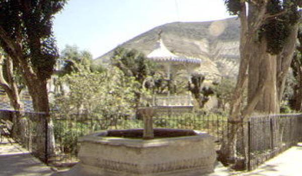
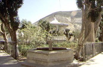
Plaza de Armas
Formerly known as Plaza del Comercio, it had a fountain in the center. In 1885, it was remodeled into a garden, with benches and railings added; in 1888, wrought iron arches were added as porticos and the fountain was replaced by a kiosk.