


Chiapa de Corzo
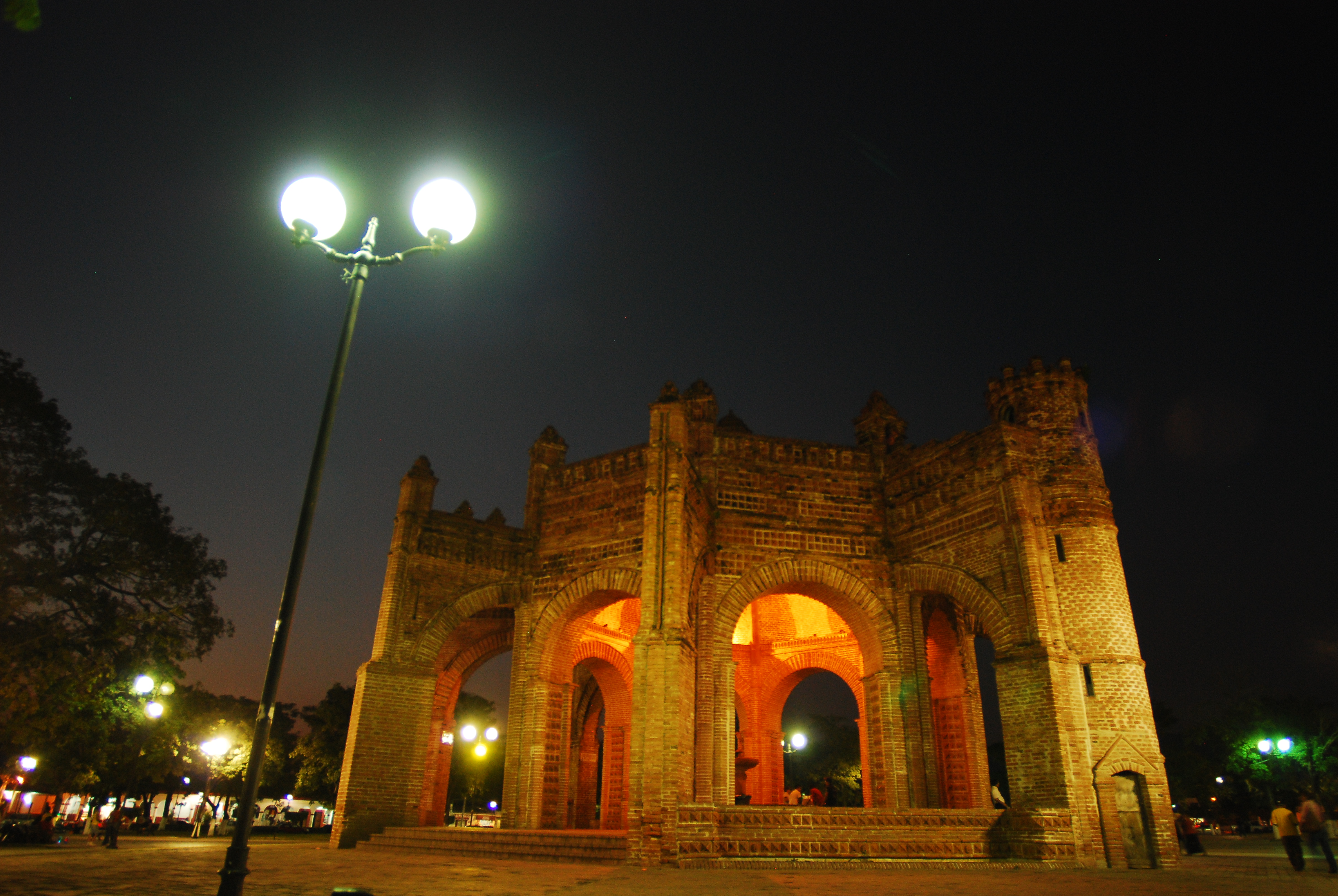
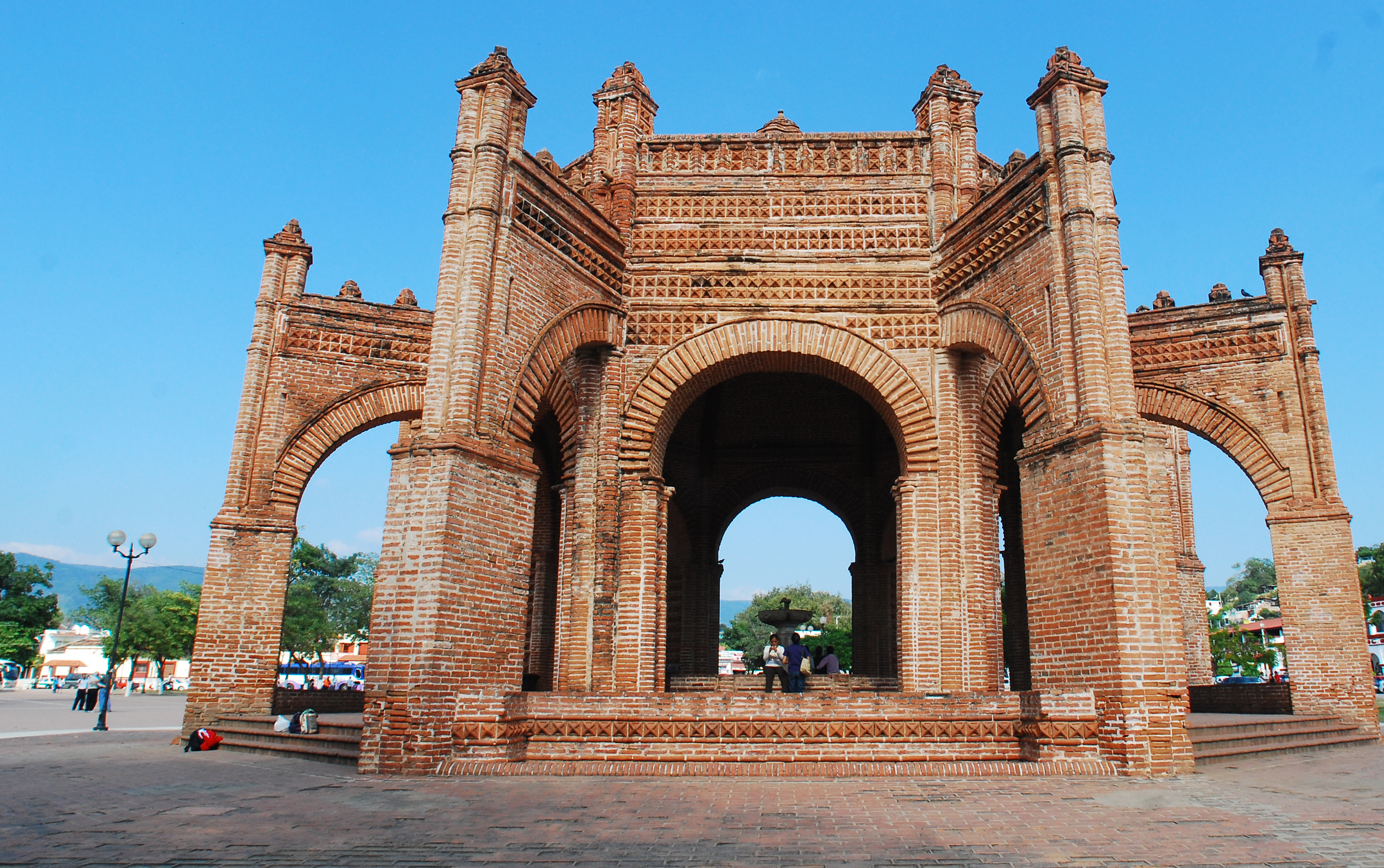
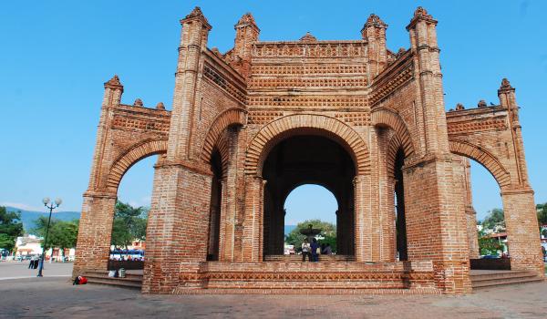
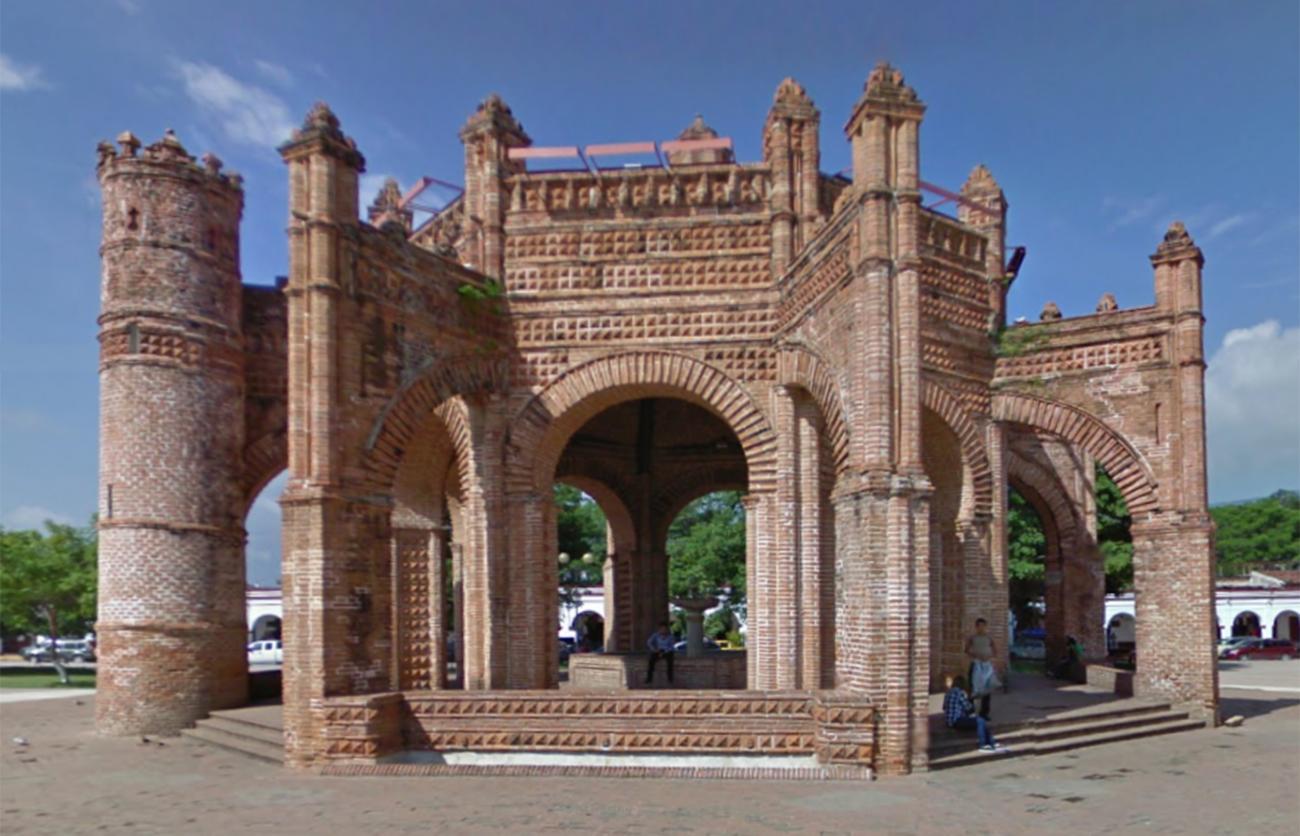
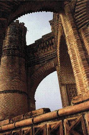
Viceregal city near the Sumidero Canyon. It is noted for its fountain, known as “La Pila,” located in the center of the main square. Built in a Mudejar style, its beautiful arches and brick-red color make this monument a symbol of the city.
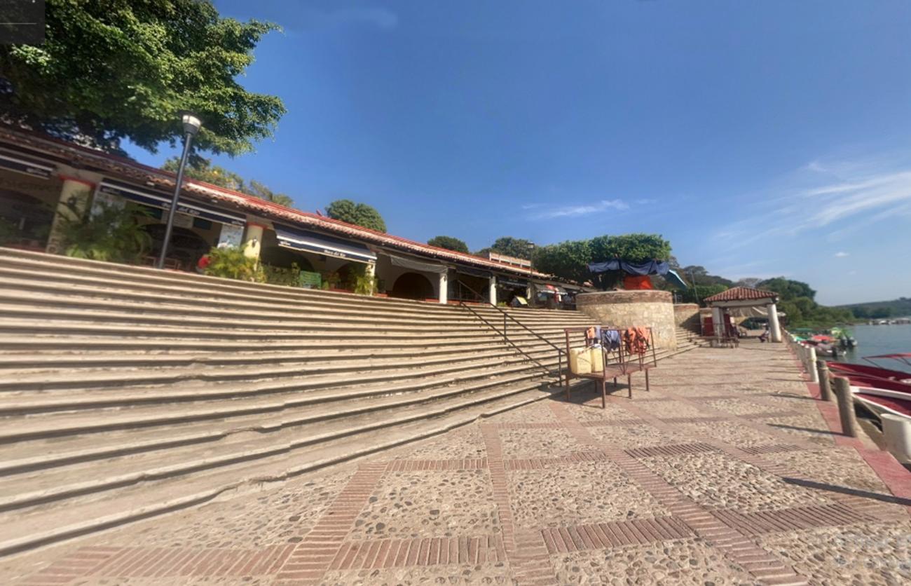
The city is located at the center of the state of Chiapas, in the vicinity of the Rio Grande or Chiapa that leads to the Sumidero Canyon.
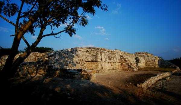
During pre-Hispanic times, in the Preclassic period between 1200 and 900 BC, the Mixes-Zoques settled on this site, founding a city at what is now the archeological zone of Chiapa de Corzo. This was the main center of power in the region until 400 AD, when it was subdued by Mayan groups. The site was abandoned 250 years later and was subsequently occupied by the Chiapanecas, who established their capital city here, known as Nandalumí or Napiniaca. When the Spanish arrived, this was the most important settlement in the region.
In 1524, a few years after the fall of Mexico Tenochtitlán, the conquest of the Chiapanecas began and a first settlement was founded over the pre-Hispanic city, next to a huge ceiba tree. Due to conflicts among the conquistadors, the town did not prosper and it was not until March 1, 1528 that Captain Diego de Mazariegos founded the town of Chiapa de los Indios.
The Chiapanecas constantly rebelled against Spanish authority and it was not until the arrival of the Dominican friars in 1545 that the town really began to take shape. This was one of the places where the “New Laws” that prohibited slavery and abuses against indigenous people were first applied, which aroused the dissatisfaction of the Spanish. These laws were promoted by Bishop Bartolomé de las Casas, who resided in Chiapa de los Indios.
The city may have first been laid out in the year 1548 by Fray Tomás Casillas, who must have realized that the ceibas, sacred trees for the indigenous people living in the city, influenced the spatial planning of the site. The position of these trees was a reference point when making the geometric plan of the city, for the fountain that is in the main square, known as “La Pila,” for the Dominican monastery complex, as well as the for the city blocks, the neighborhoods chapels, the streets and the Camino Real. For the friars, the ceiba trees located near a river were connected to the image of the Christian Paradise.
In 1552, the town became directly dependent on the Spanish Crown, so its name changed to Pueblo de la Real Corona de Chiapa de Indios.
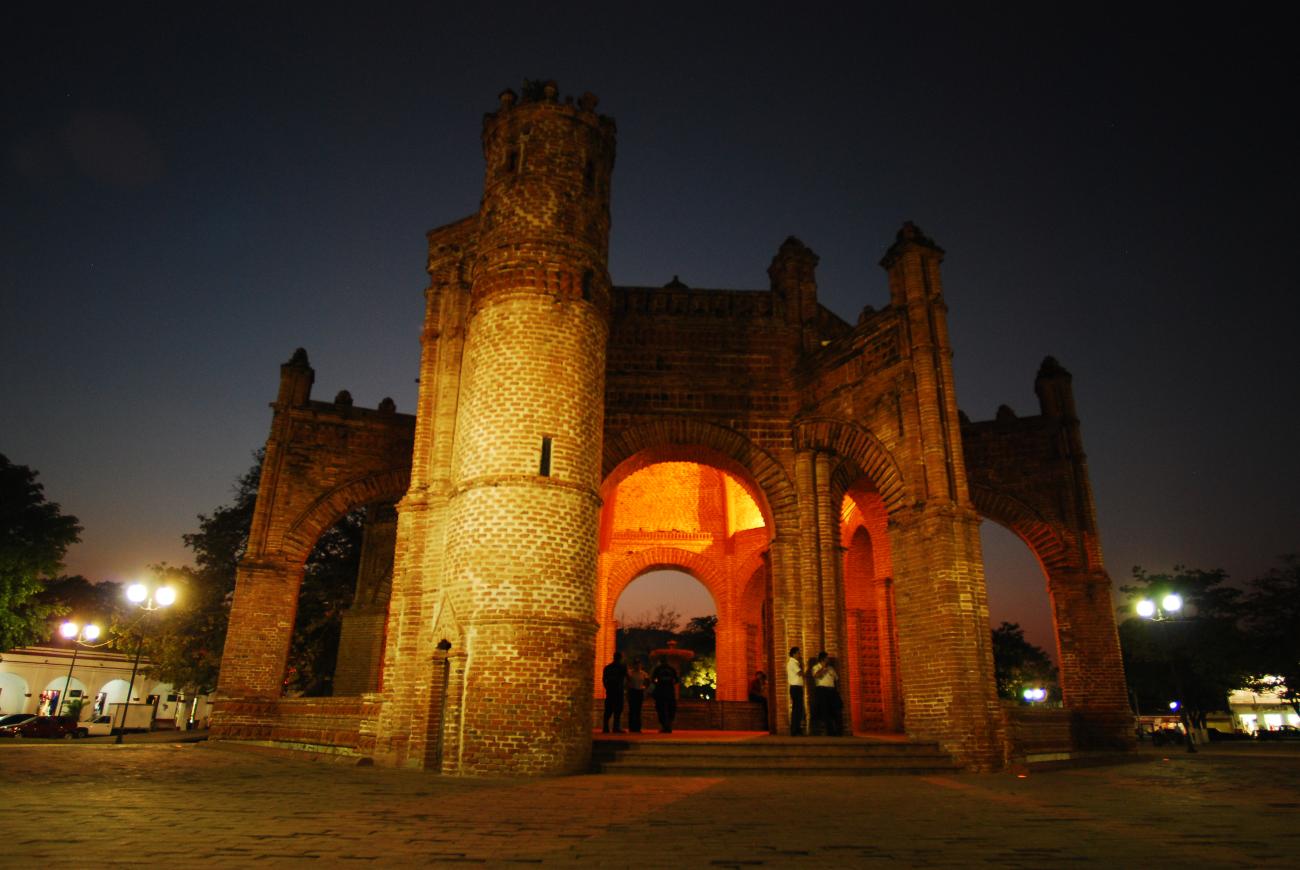
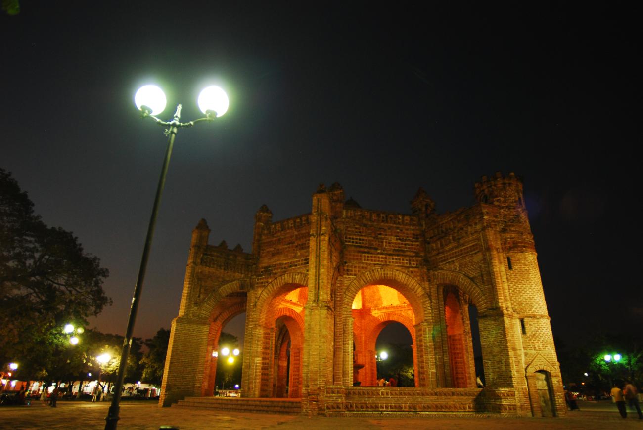
To provide the town with drinking water, in 1562 “La Pila” was built on the initiative of the Dominican friars Tomás Casillas and Rodrigo de León. It is a beautiful construction in the Mudejar style, with eight arches, in which brick predominates as a construction material. Today it has become a symbol of the city.
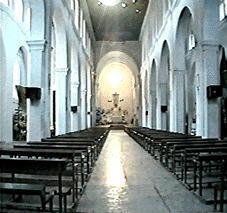
Between 1554 and 1572 the church of Santo Domingo de Guzmán, known as the Iglesia Grande or Great Church, was built. By the beginning of the 17th century, the convents of San Francisco and La Encarnación already existed for Conceptionist nuns. By the end of the 18th century there was also a monastery of Brothers Hospitallers of Saint John of God, and a Jesuit college.
During the colonial period, Chiapas belonged to the Audiencia of Guatemala, but in 1824, with the start of the independent period, Chiapas was annexed to the Mexican Republic.
The town of Chiapa was elevated to the rank of Villa, and became a city in 1851. Later, in 1861, the city acquired its current name in honor of Ángel Albino Corzo, a liberal politician born here who fought the conservatives in 1848. As governor of the state he was in charge of applying the Reform Laws.
One of the most significant episodes in the history of Chiapa de Corzo is the battle that was fought in the city during the French Intervention on October 20 and 21, 1863 between the Republicans and the supporters of the Emperor Maximilian of Habsburg. The triumph of the Republicans was led by Colonel Salvador Urbina.
The city plan laid out two principal axes perpendicular to each other that coincide at the center of the Plaza Central Ángel Albino Corzo. The whole city forms a grid that is only partially distorted by an elevation where the Cunduacán, Nipame and Champoyoy neighborhoods are now located. The main plaza is surrounded by porticoes currently occupied by retail stores, the Municipal Town Hall and the birthplace of Ángel Albino Corzo. The plaza is also home to the ceiba tree that tradition connects to the founding of the city, the clock tower and the La Pila fountain.
Other attractions of the city are the marimba wooden instrument workshops and the traditional January Festival in which the parachicos dance is performed, declared an Intangible Cultural Heritage by UNESCO.
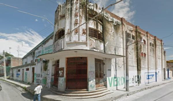
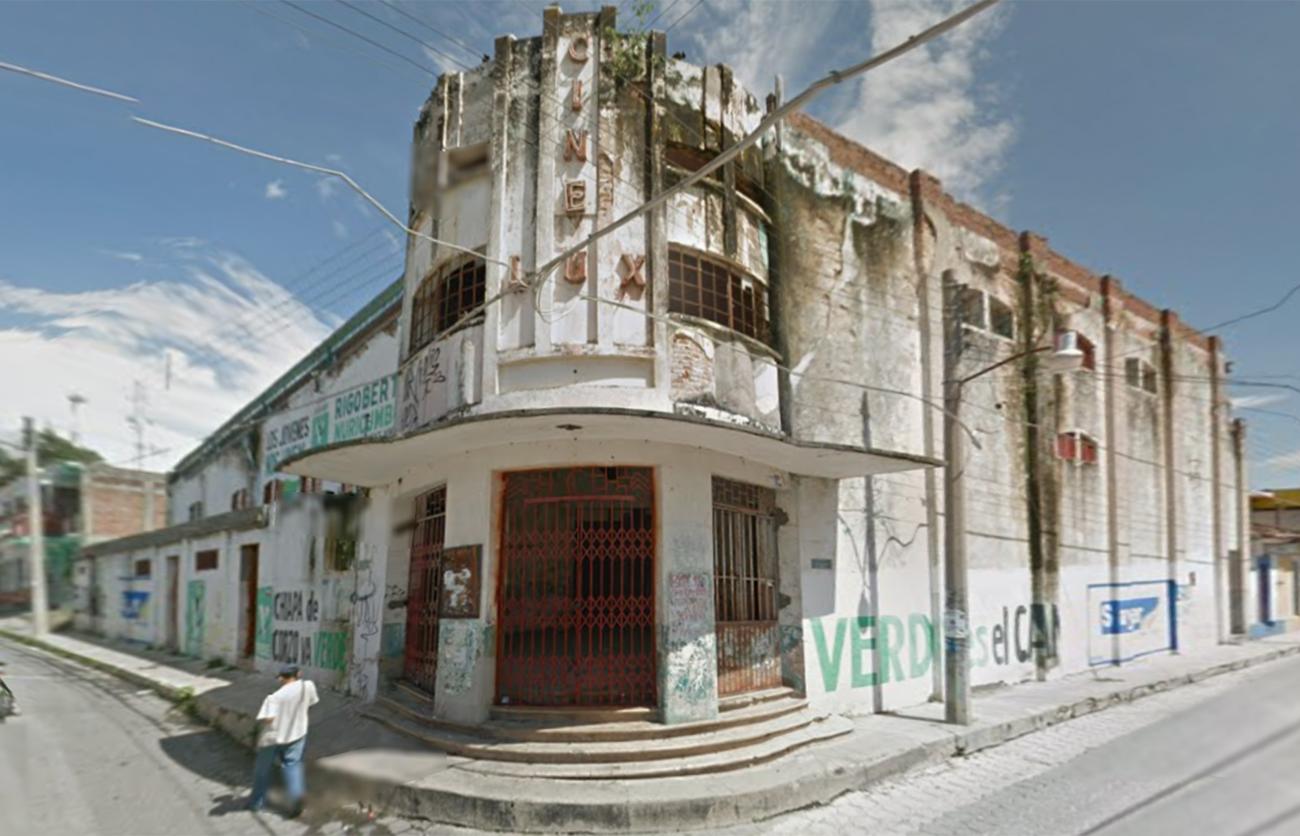
The Zone of Historical Monuments covers 2.39 km2 and comprises 84 blocks that include various buildings built between the 16th and 19th centuries. Highlights among these buildings include the former monasteries of San Sebastián and Santo Domingo de Guzmán, the churches of Calvario, Acapetahua and Santa Cruz de Cunduacán, San Jacinto, San Gregorio and Señor de la Misericordia. Other significant constructions are the La Pila Fountain, the Clock, the Old Bridge, the Pochota, the Municipal Presidency and the Military Headquarters.
It was declared a Zone of Artistic and Historical Monuments in 2000 and was incorporated into the Pueblos Mágicos (Magic Towns) program in 2012.

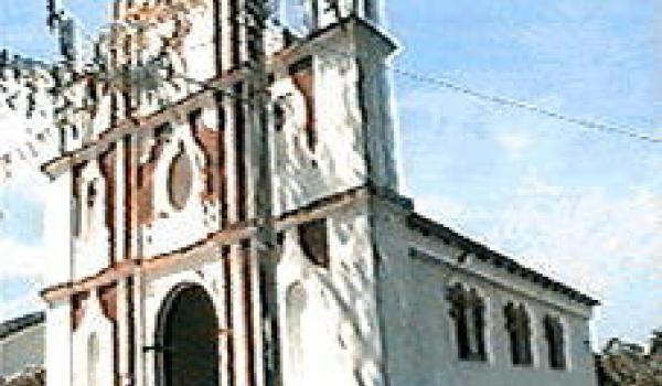
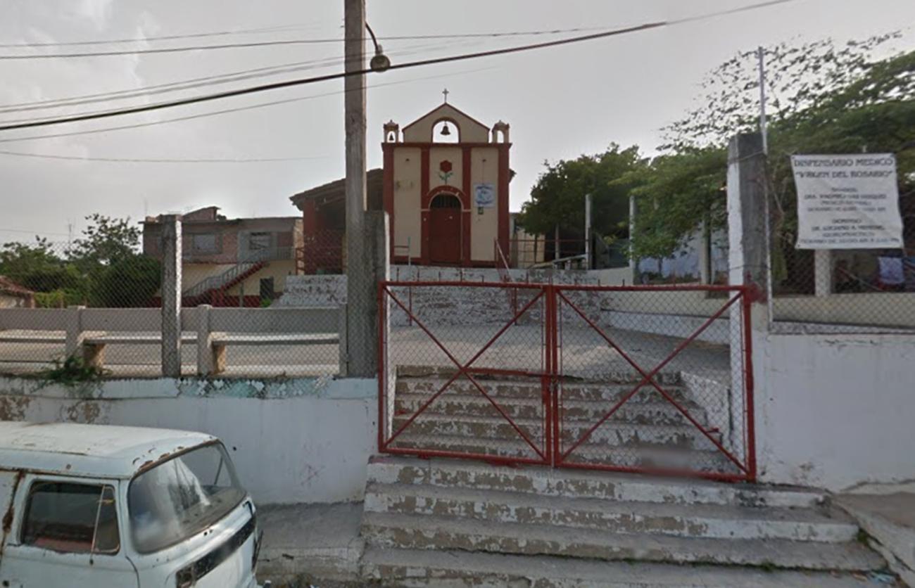
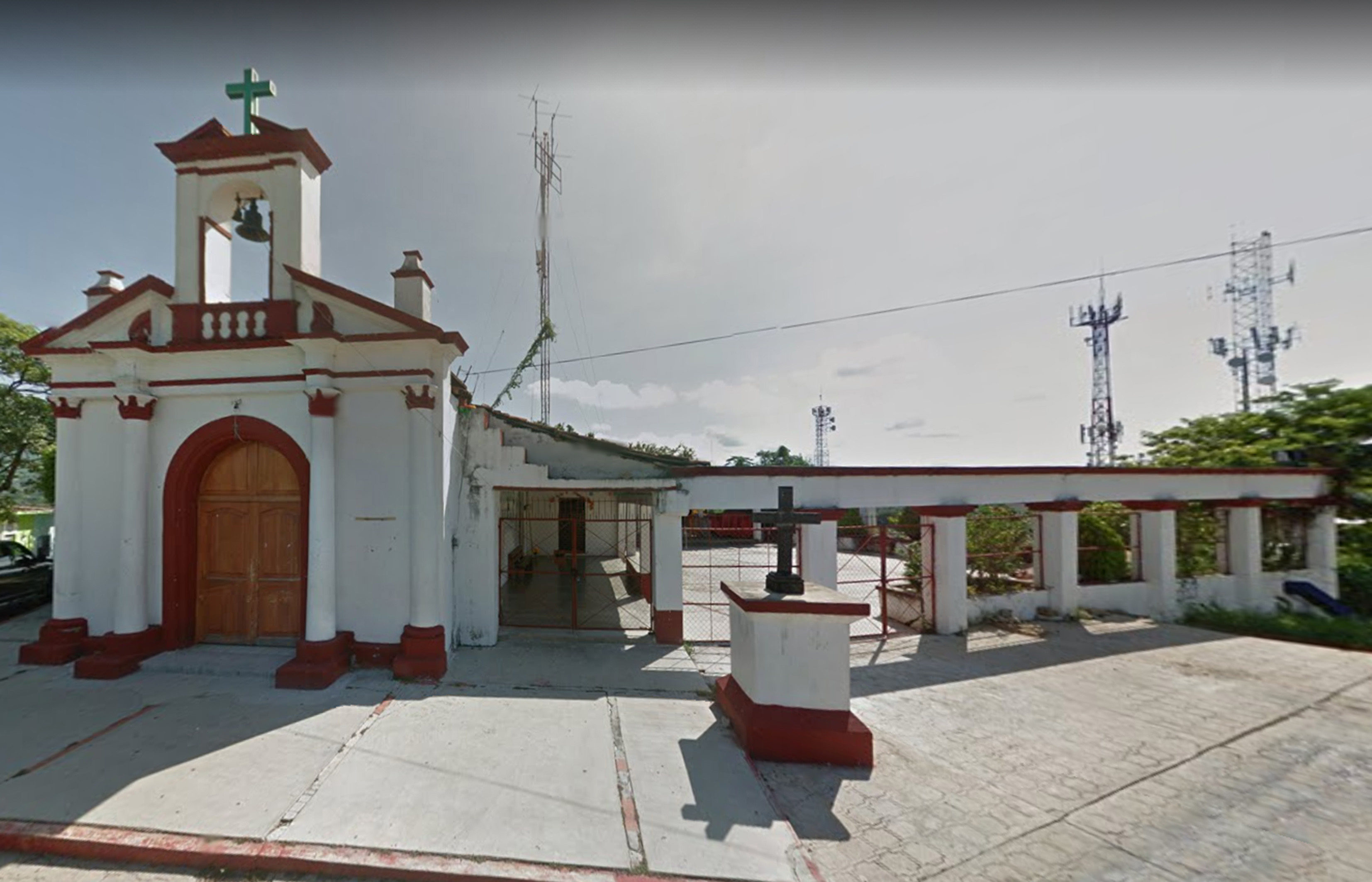
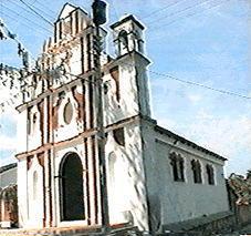
Templo de San Jacinto
A 19th-century religious building located in the neighborhood where the masks of the parachicos and jicalpexles are made.
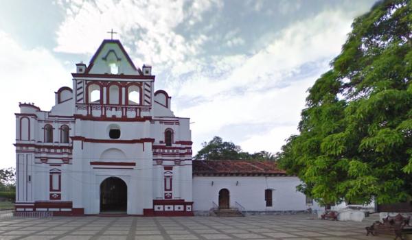
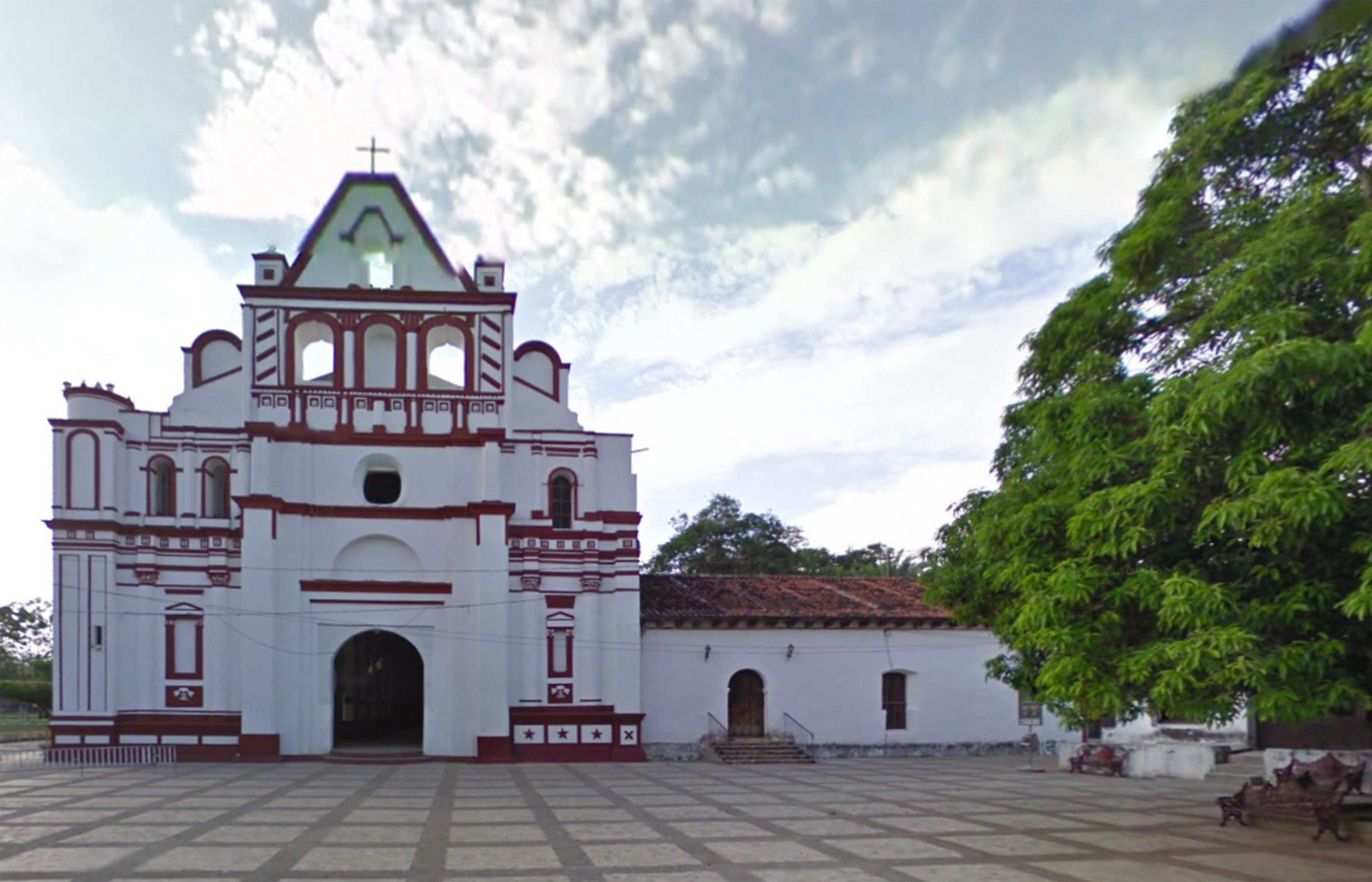
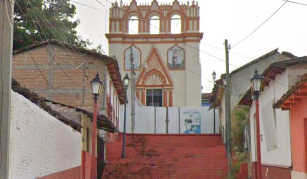
Templo de Santo Domingo
Religious building from the 16th century; Friar Rodrigo de León completed its construction between 1544 and 1572.

Fuente La Pila
It is the first fountain built in Chiapas and the only Mudejar-style building made exclusively of brick in the entire state. This fountain was designed to supply drinking water to the population.

Galería Casa de la Chuntá
An 18th-century building, whose current owner is the creator of one of the famous characters of the Chiapa de Corzo festival, “La Chunta,” a witty representation of the legend of María de Angulo.
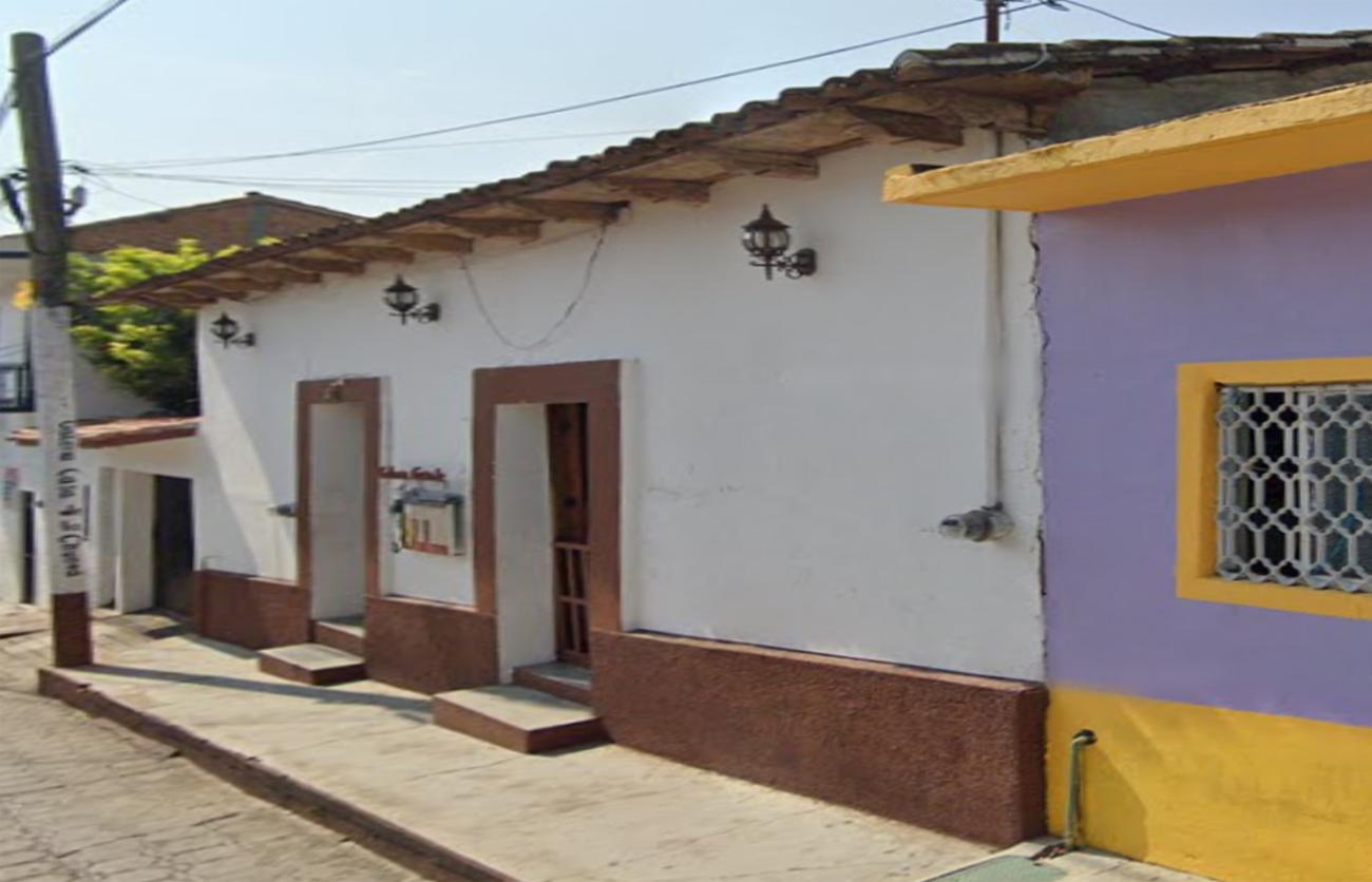
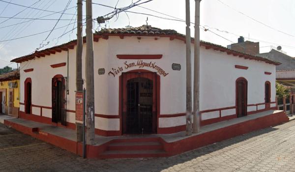
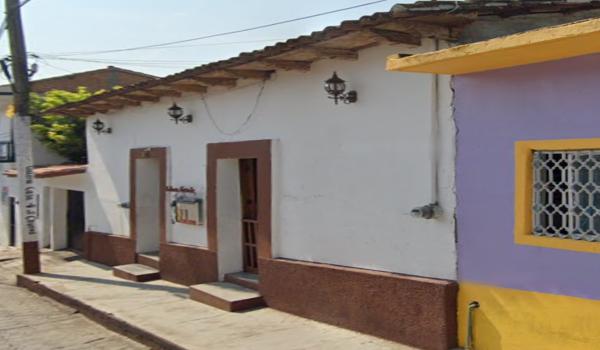
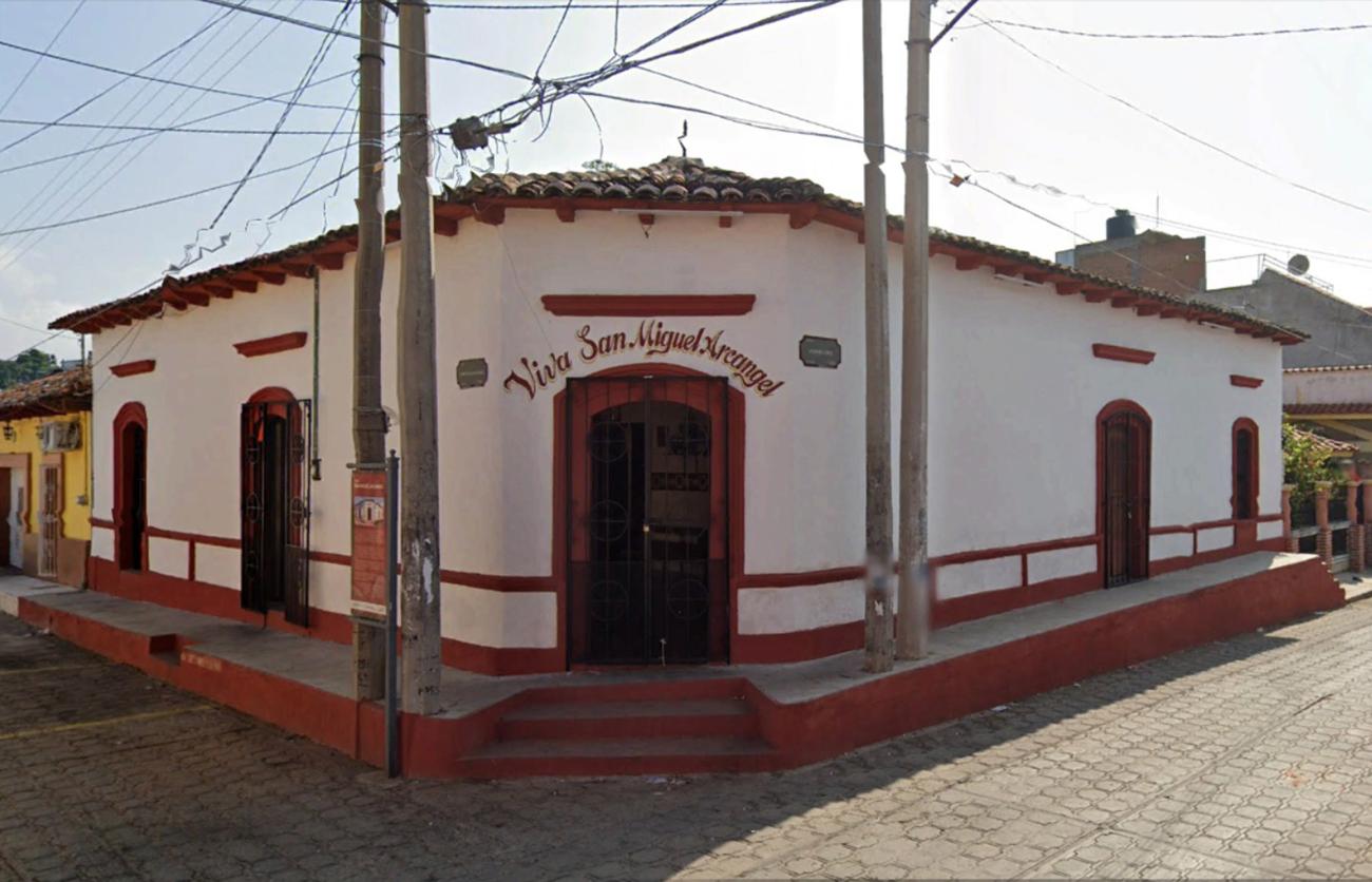
Capilla de San Miguel Arcángel
This property belonged to Tomás Gutiérrez, who donated it to house the image of Saint Michael the Archangel, commissioned by the local residents. The chapel was built with the support of the town, and construction began in 2001.

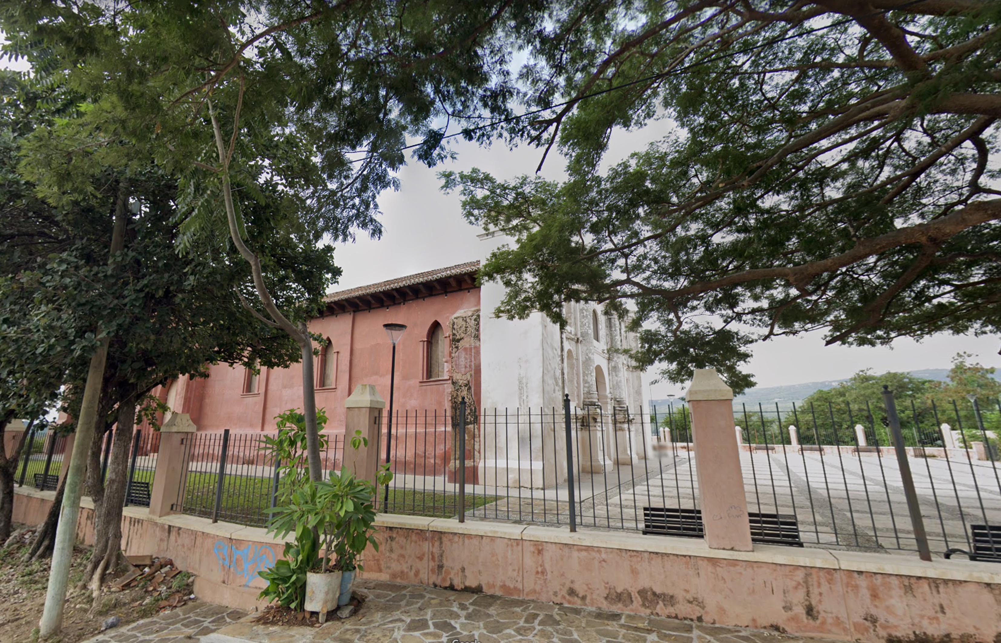
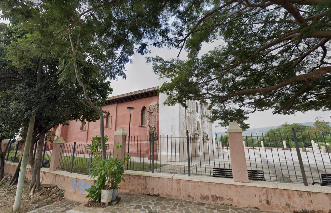
Antiguo Templo de San Sebastián
This 16th-century building was completely restored in 2016 because it was in ruins.
Templo del Calvario
The construction of this building dates back to the end of the viceroyalty period. It preserves a polychrome altarpiece depicting the Descent from the Cross.


Templo de San Gregorio
20th-century building located where Republican troops fought against Juan Ortega's traitors on October 21, 1863.

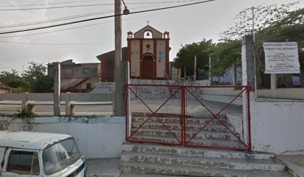
Capilla de la Santa Cruz de Conduacan
Built in 1978, this temple preserves the façade of a chapel built in 1925.