


Xalapa de Enríquez
A major administrative, economic and religious center for New Spain that acquired fame and prosperity thanks to its trade fairs. Over its history, Xalapa was home to the seat of power of the state of Veracruz, disputing the title of capital with Orizaba and the port city of Veracruz, before officially becoming capital in 1885.
The word Xalapa comes from the Nahuatl language, and derives from the terms xalli or xalla, which mean “sand”, atl, “water” and the locative pan; the name can therefore be translated as “in the sandy water” or “the place of sandy water”.
The city is located on the flanks of the Mecauiltépetl peak, part of the Sierra Madre Oriental. Its humid and temperate climate favored the establishment of human settlements and its topography meant the area is rich in springs supplied with water from the mountain.
In the pre-Hispanic period, around the year 1313, groups of Nahua and Totonaco people settled here. The town they built comprised three districts: Xallapan, Xallitic and Techacapan. Following the arrival of the Teochichimeca and the conquest by the Mexica people a fourth district was established, Tlalmecapan, which in the colonial period became known as Santiago. Xalapa was therefore a pre-Hispanic city that, with the arrival of the Spaniards, was re-founded in the same site and following the existing layout. This meant it was established as a “pueblo de indios”, unlike others that were intended to be inhabited exclusively by Spaniards. Although the date of the foundation is known, by 1527 it held the status of alcaldía mayor.
In the 16th century, Xalapa formed a part of the major Veracruz-Mexico trade route, leading to its rapid development. Its location proved strategic as a city of transit or connection, and its position at the confluence of trade routes between the altiplano and the Gulf of Mexico ensured it maintained an active role in the economic development of the region. At the same time, its proximity to the port of Veracruz (the port of entry and exit for all kinds of goods and forms of cultural expression), the abundance of indigenous labor and its climate, much more benevolent than that of the coast, together secured it a privileged situation, and by 1580 it had become the regional hub for administrative, judicial and religious affairs. Trade was the predominant activity, shown by the presence of muleteers and cart drivers, and the establishment of markets, inns, warehouses and rest houses that led to the growth of the city.
Over the course of the 18th century it was the site of the greatest trade fair of the vice-regal epoch. This brought about a thorough transformation of the town, where the humble huts and shacks of the indigenous neighborhoods predominated, while the Spanish population was scarce. With the fairs the Spanish population increased, building houses, warehouses, wineries and taverns. The fairs substantially improved the material conditions of the town, and the number of lime and stone constructions increased. However, the fairs were suppressed in 1778, which led to a serious economic crisis and caused people to emigrate.
On 18 December 1791, King Carlos IV granted Xalapa the title of villa and three years later, the first city council requested the viceroy to demarcate the territory that would form a part of its jurisdiction.
During the War of Independence, the city acted as a strategic point for the infantry and dragoons of the Spanish Crown, and was the site of skirmishes between insurgent and royalist forces. As the struggle worsened, the guerrillas attacked the haciendas and ranches.
In the early days of independent Mexico, Xalapa was used as a residence for the powers established in Veracruz, due to the state of war and the poor health conditions that dominated in the port. This brought about a recovery of economic activities and a new influx of people. In 1830, the concurrence of these factors and their outcome led Xalapa to acquire the rank of city. In this period it became the second-largest city in the state of Veracruz. However, in 1835 the state administration returned to the city of Veracruz, again leading to a loss of economic activity.
In the wake of the fall of Maximilian’s Second Mexican Empire in May 1867, and with the restoration of the republic, the city of Xalapa experienced new economic growth, boosted by the arrival of the Xalapa-Veracruz railroad in 1875.
In 1885, the people demanded that the government in Veracruz officially proclaim Xalapa as state capital. This was achieved, and the effects were soon to be seen: population increase, prosperity of trade and textile factories, cigars, cigars, beer and ice. Likewise, electric public lighting was installed in the streets together with a drinking water network. At the end of the first half of the 19th century, Xalapa had five textile factories, which made it the spearhead of the nascent Veracruz textile industry.
On 30 March 1892, the city was renamed Xalapa de Enríquez in memory of General Juan de la Luz Enríquez, governor of the state. The city has also been the birthplace of major figures including Sebastián Lerdo de Tejada and Antonio López de Santa Anna, presidents of Mexico, and the historian Manuel Rivera Cambas.
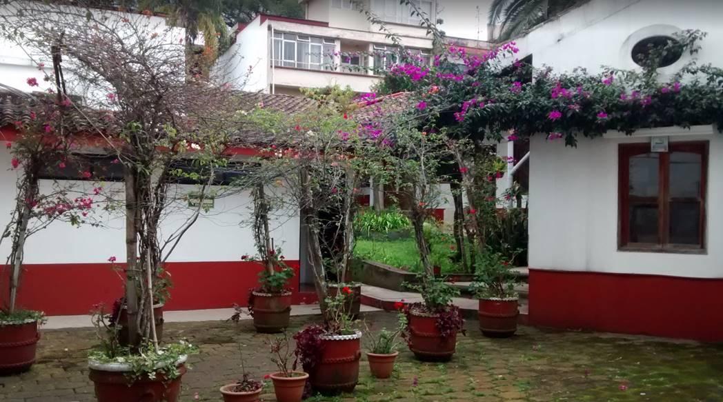
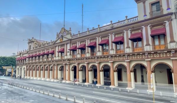
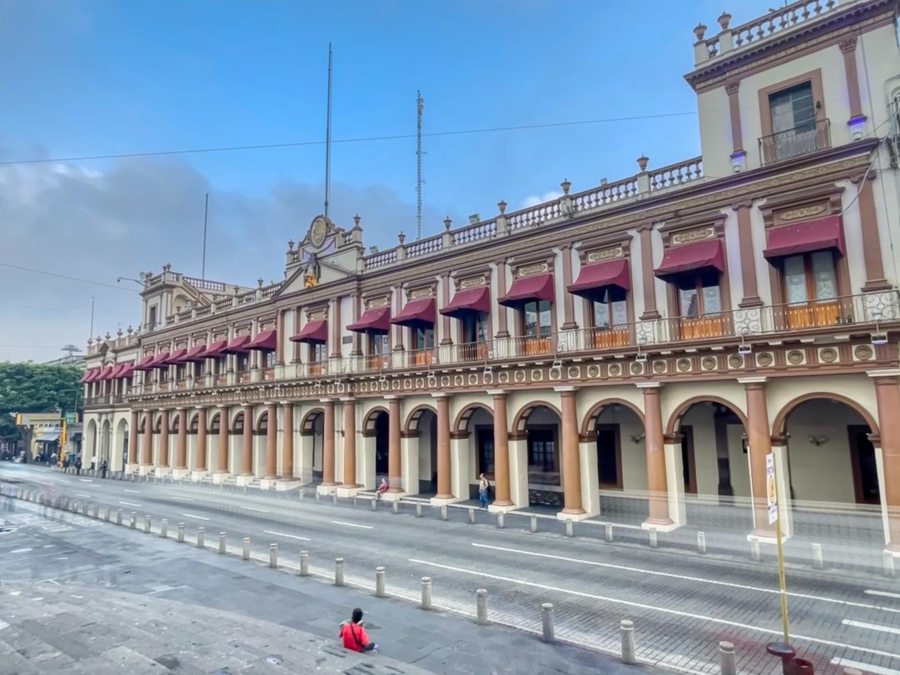
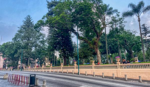
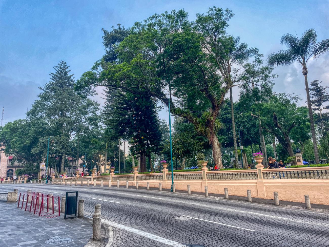
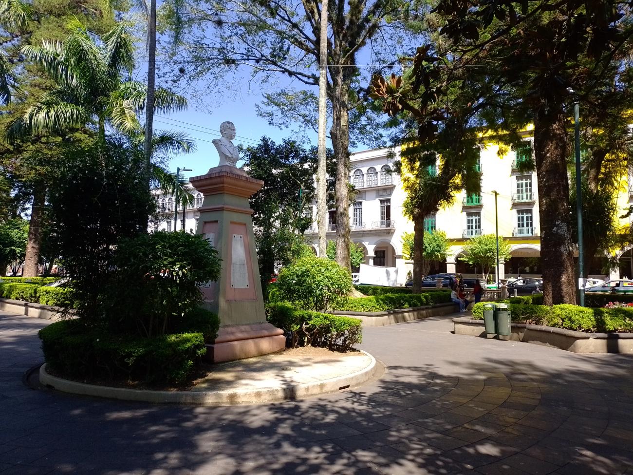
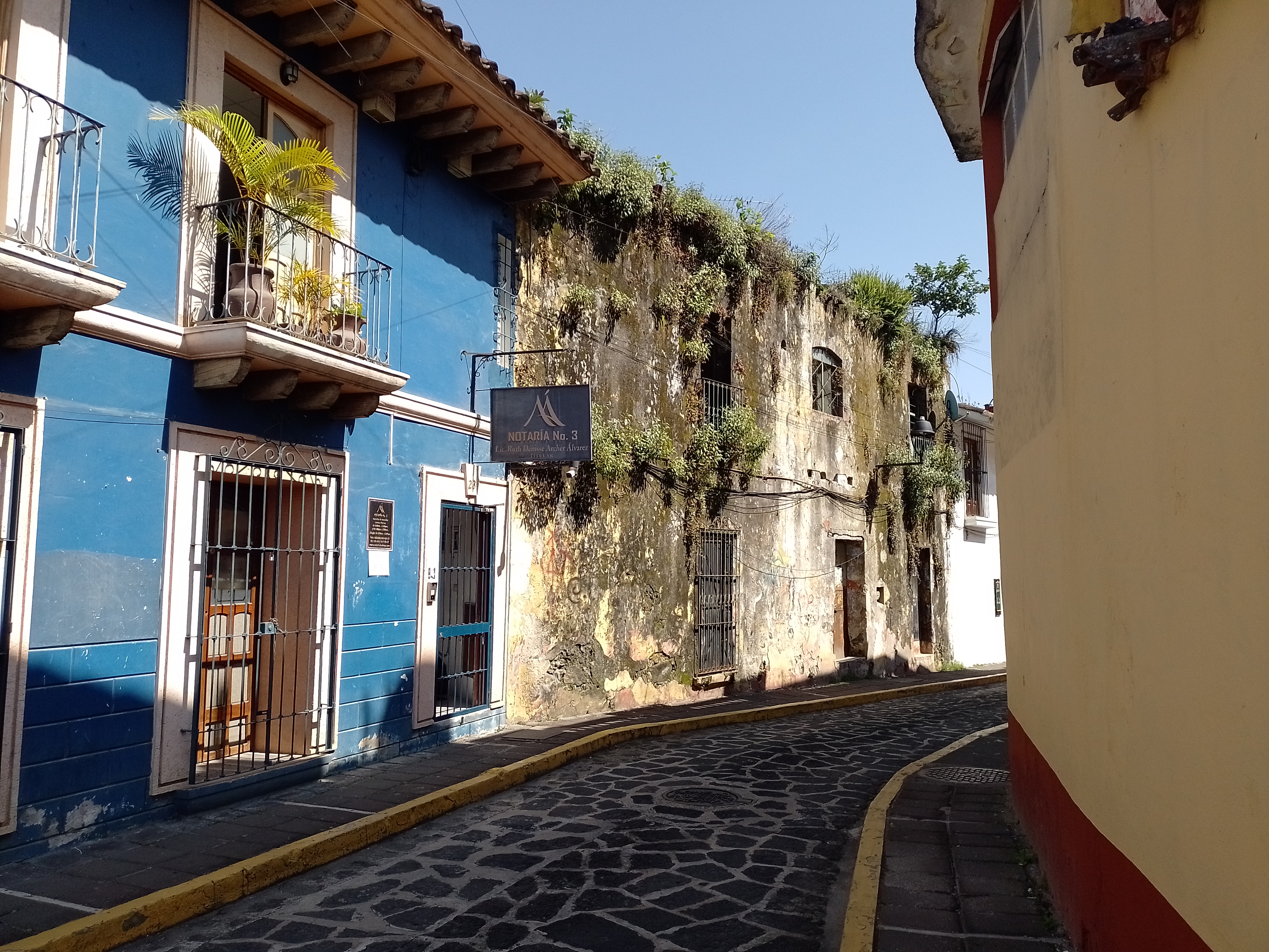
The Zone of Historical Monuments comprises an area of 0.33 km2 and includes 28 city blocks with buildings and plazas of great historical value built between the 17th and 19th. Those intended for religious activities include the Cathedral of Santa María and its annexes, the churches of Beaterio and San José and the Former Episcopal Palace. Other historical buildings were intended for the purposes of public education, welfare, service and embellishment, or use by the civil and military authorities; these include the city hall, the Sayago asylum, the Escuela Normal y Cantonal, and Juárez Park.
The layout of the streets within the Zone of Historical Monuments is quite irregular; however, where conditions permit, attempts have been made to impose the usual checkerboard pattern found in the cities of New Spain. There are two factors in the origin of the street layout; firstly the pre-existing pre-Hispanic town, upon which the colonial layout was imposed; and secondly the complex topography and many watercourses.
The “urban skeleton” is made up of the primary and secondary streets established in the 16th century. The primary streets connected the plaza principal with the exterior of the city; the principal was the Calle Real, along which were established churches, monasteries, mansions and commercial stores. The Spanish population lived around the Plaza Mayor and on Calle Real, gradually displacing the original population living in the barrios of Xallapan, Xalitic, Techacapa and Tecajates.
Xalapa de Enríquez was declared a Zone of Historical Monuments on 19 December 1990.

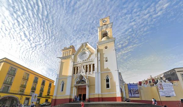
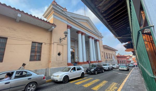
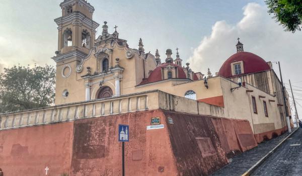
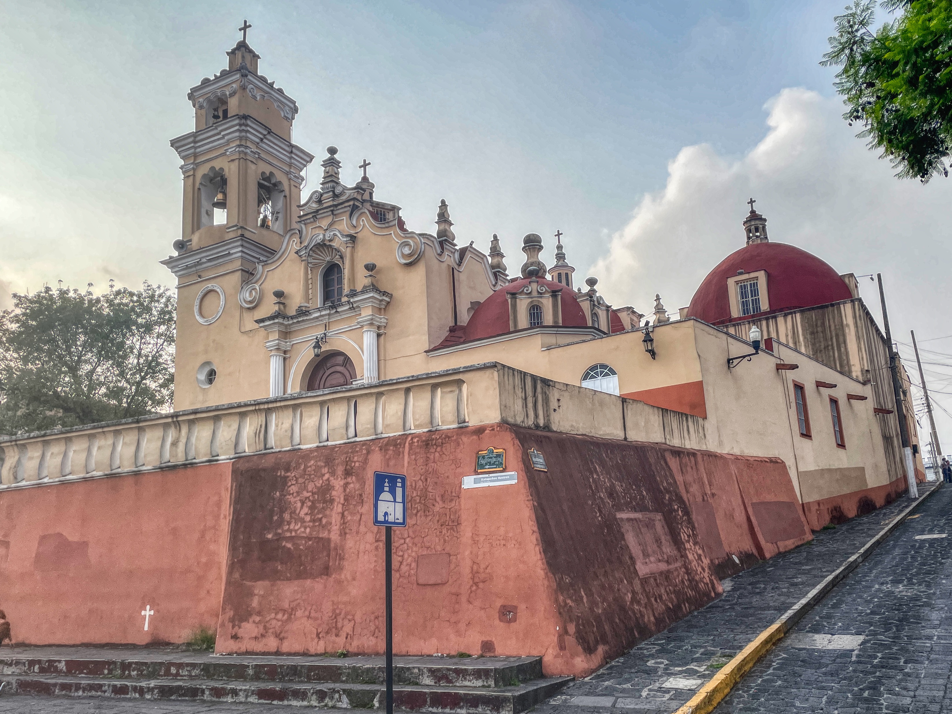
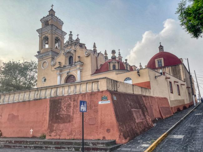
Catedral Metropolitana de la Inmaculada Concepción
Religious building from the 17th century. Its construction involved the Royal House, the Tribunal of the Consulate of Cádiz, and several brotherhoods. Between 1838 and 1846, the priest Francisco Campomanes had the altars and reredos demolished to replace them with neoclassical ones.
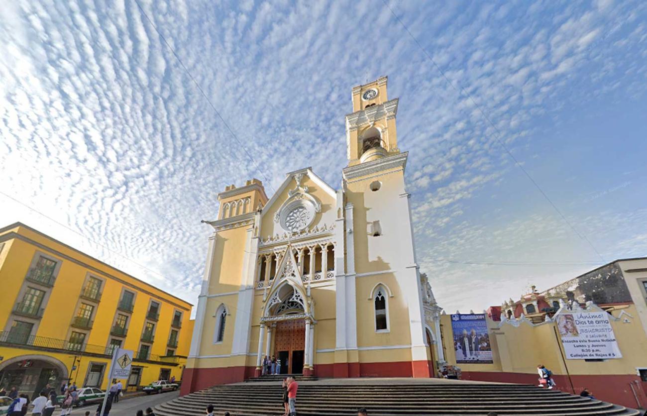

Religious building from the 17th century. Its construction involved the Royal House, the Tribunal of the Consulate of Cádiz, and several brotherhoods. Between 1838 and 1846, the priest Francisco Campomanes had the altars and reredos demolished to replace them with neoclassical ones. The cathedral was remodeled in 1895, altering its façade and decoration with neo-Gothic elements; two towers were planned, but only one was completed.
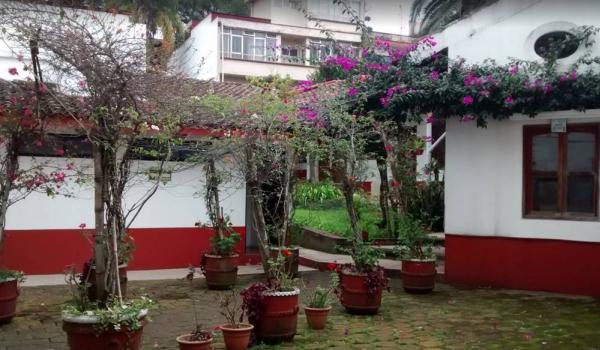
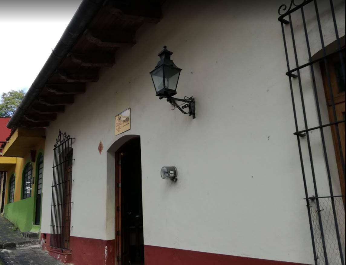
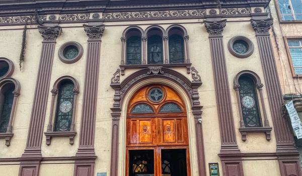
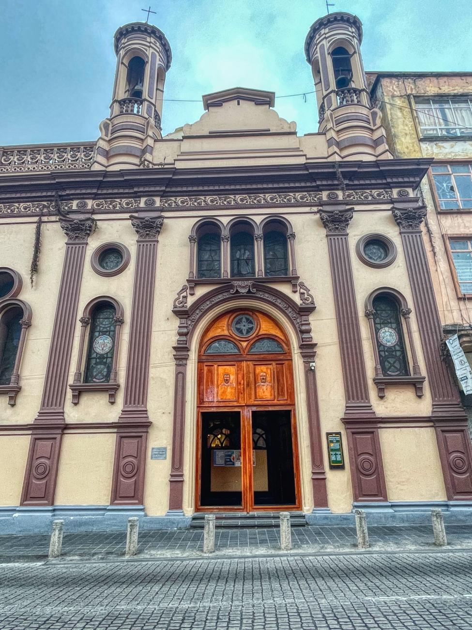
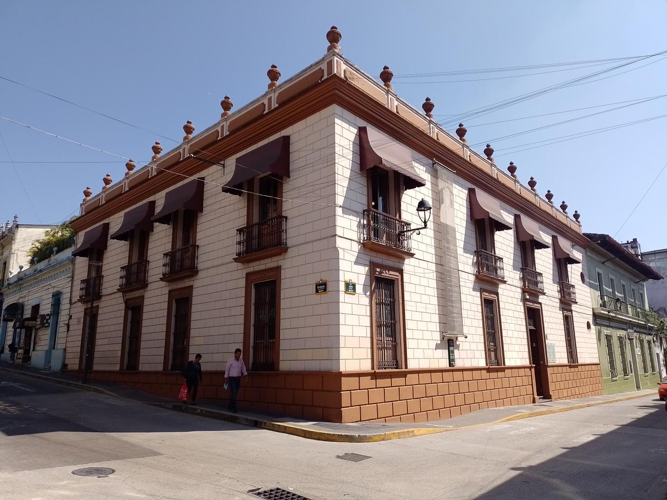
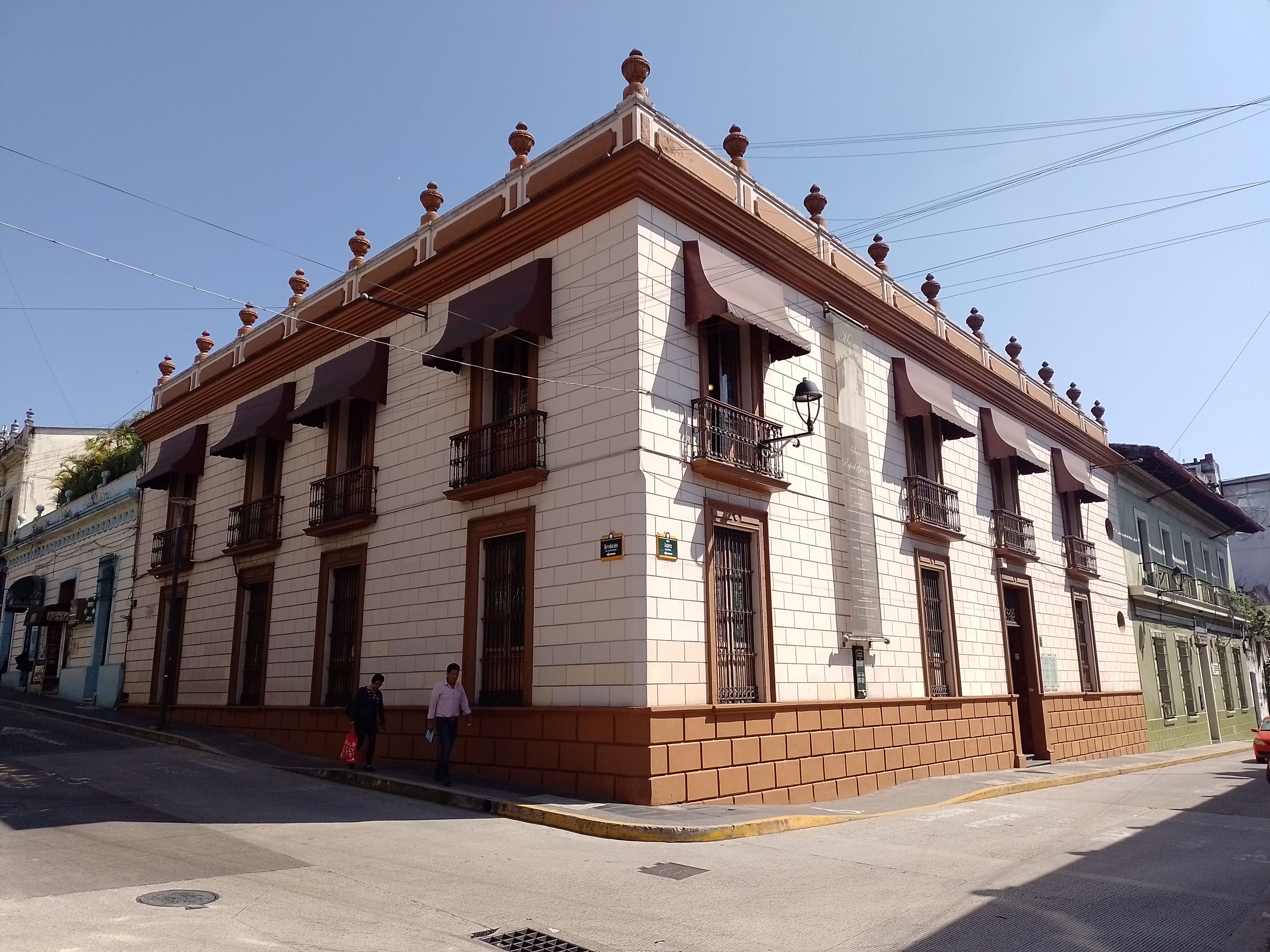
Oficinas del Centro INAH Xalapa
19th-century building, originally owned by the Carranza Family and later transferred to the Federal Government.