


Xochimilco, Tlahuac y Milpa Alta
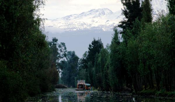
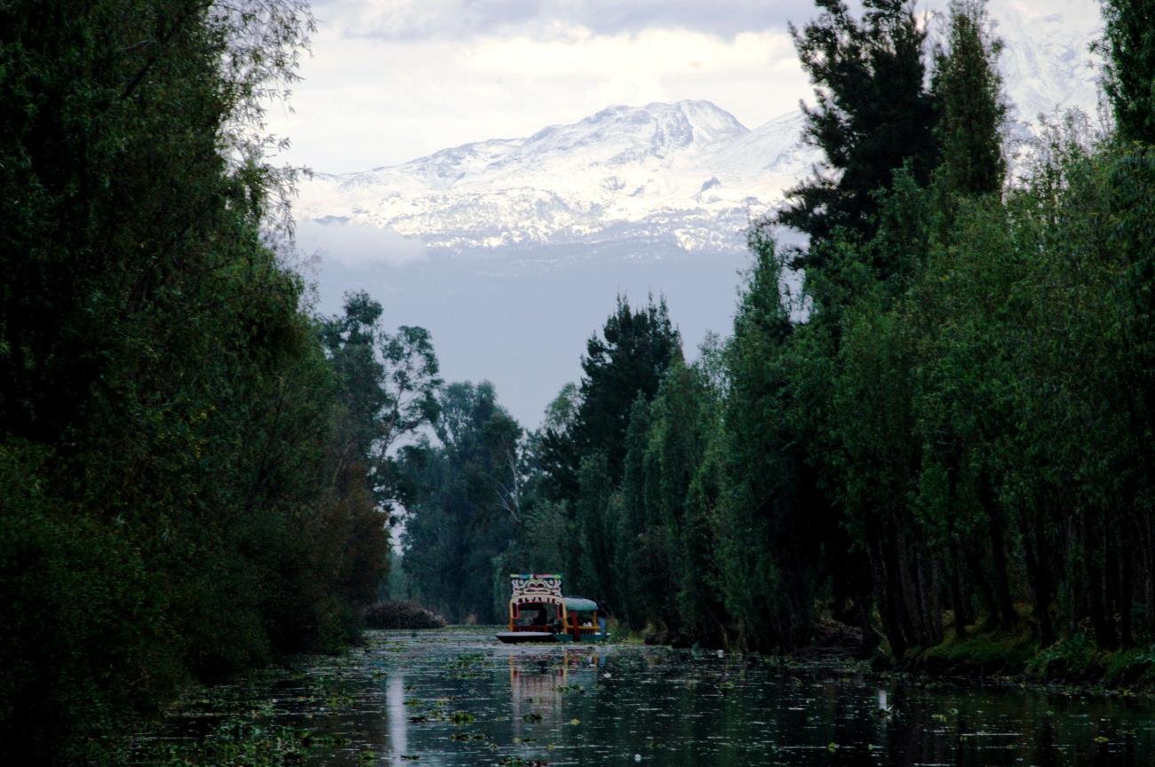
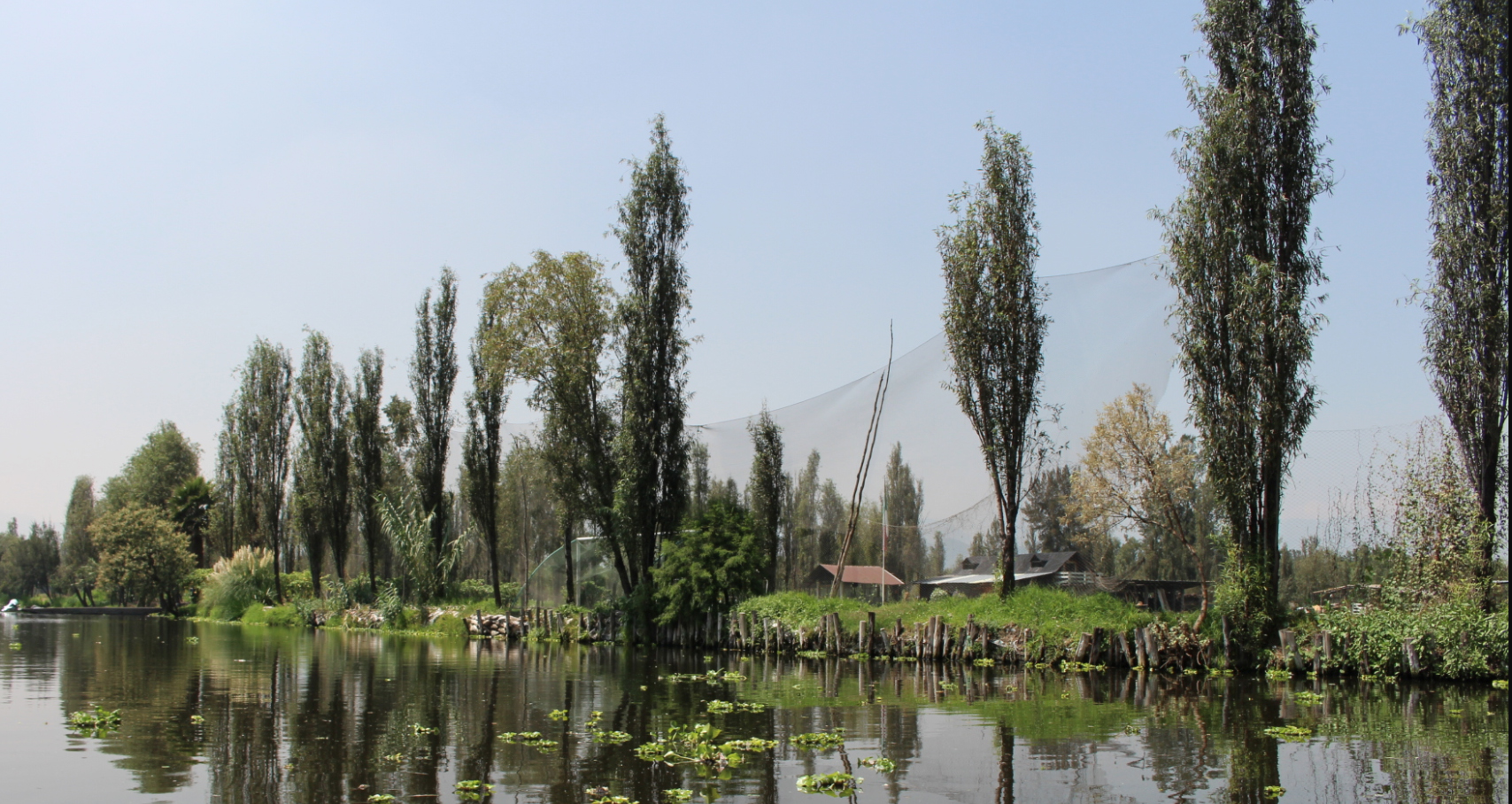
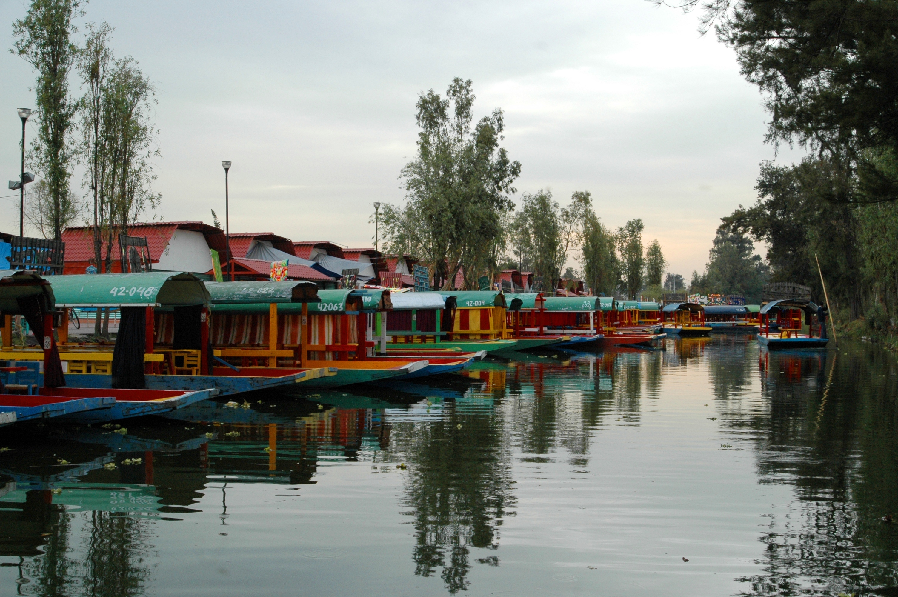
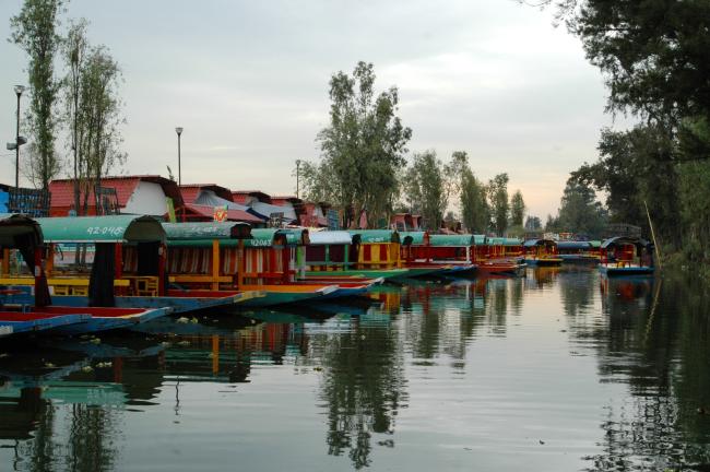
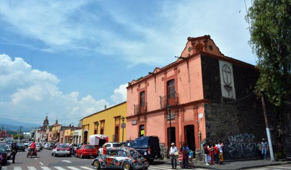
Founded around lakes and with a long agricultural tradition, these towns remind us of the lakeside origin of Mexico City and the rural way of life that prevailed there until recently. Their canals, churches, squares, chinampas and traditions are part of the city’s cultural, natural and historical wealth.
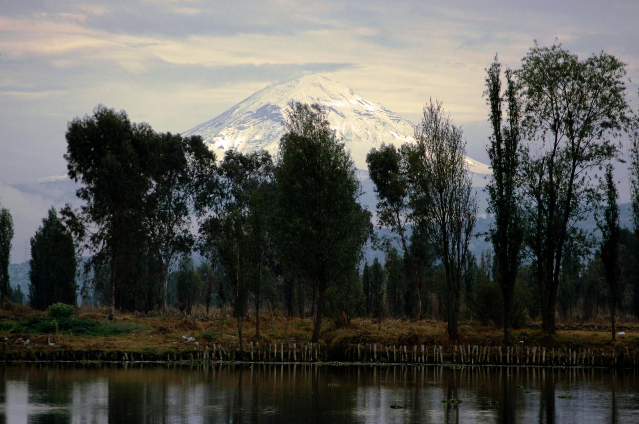
Located southeast of Mexico City, this area is characterized by having developed around the lakes of Xochimilco and Chalco, which have now practically disappeared. The meanings of the names of Xochimilco and Milpa Alta refer to their agricultural character, the former meaning “field of flowers” and the latter “milpan,” the term used to designate any cultivated field. For its part, Tláhuac is a short version of the name Cuitláhuac, which means “in the place of the one who cares for the water.”
This area had urban settlements since pre-Hispanic times, corresponding to the dominions of Xochimilco, Culhuacán and Chalco. These were structurally and functionally related to each other, creating a complex system. In this area great technical advances were made, such as the control of the lakes in the Valley of Mexico basin by means of causeways, ditches and dams, as well as the chinampas system, a cultivation technique that has persisted through the centuries. Today this is a unique area of the city where urban and rural, traditional and modern mix together.
This area was populated since pre-Hispanic times by Chichimecas and Xochimilcas. The Xochimilcas were among the tribes that, like the Mexica, migrated from the mythical place of Aztlán. They settled on the shores of Lake Xochimilco in the Mexican Basin and spread to the area of Milpa Alta, Tláhuac, Culhuacán and Mixquic.
The archaeological remains of the first Xochimilca settlement are found on the Cuahilama hill, located in the town of Santa Cruz Alcapixca, Tláhuac. In 1352, the ceremonial center of Xochimilco was moved to the islet of Tlitan, where the parish of San Bernardino de Siena is currently located. The new city was divided into 14 neighborhoods. At that time the chinampa cultivation technique was developed, which consists of building rafts with sticks and earth or silt. With the creation of the chinampas, the Nahualapa or Ahaualpa de Santa Cruz Alcapixca channels were formed.
Xochimilco was the scene of important battles during the Conquest of Mexico. In April 1521 Hernán Cortés confronted the Xochimilcas in a violent struggle that left few survivors. After this, the last Xochimilca ruler, Apochquiyauhtzin, was baptized and given the name Luis Cortés Cerón de Alvarado. This ruler was given a certain autonomy to be able to continue managing his people, although under the ultimate command of the Spanish.
During the viceregal period, Xochimilco responded to the parameters of Spanish urban planning, making necessary a civil infrastructure for the Spanish government to impose its colonial policy. As a result, its layout was transformed, giving way to the towns and neighborhoods of Xochimilco. Another important aspect of this period was the evangelization of the indigenous people, for which purpose the Franciscan convent of San Bernardino de Siena was built between 1534 and 1579.
In 1559, King Felipe II granted Xochimilco its coat of arms and the title of city. During the colonial period, agriculture in Xochimilco was very important, since the crops grown here were the main source of food in Mexico City. The produce of Xochimilco were carried via the canals to Chalco and Atenco; in the 17th century more than a thousand canoes a day entered the capital of the viceroyalty.
During the independence struggle Xochimilco participated with a small contingent in 1815 and contributed to the insurgent army by providing accommodation and food. During the Porfiriato, major hydraulic works were carried out to convey water from Xochimilco to Mexico City, which caused the ditches and canals to dry up, affecting the trade in agricultural products that made use of them.
At the time of the Mexican Revolution Xochimilco was the entrance point to Mexico City from Morelos. In mid-1911 the first Zapatistas arrived in Milpa Alta and later in Xochimilco. In 1914 the historic meeting between Francisco Villa and Emiliano Zapata took place, who forged an alliance by signing of the “Pact of Xochimilco” at the Hotel Reforma.
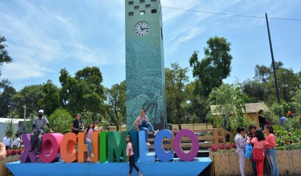
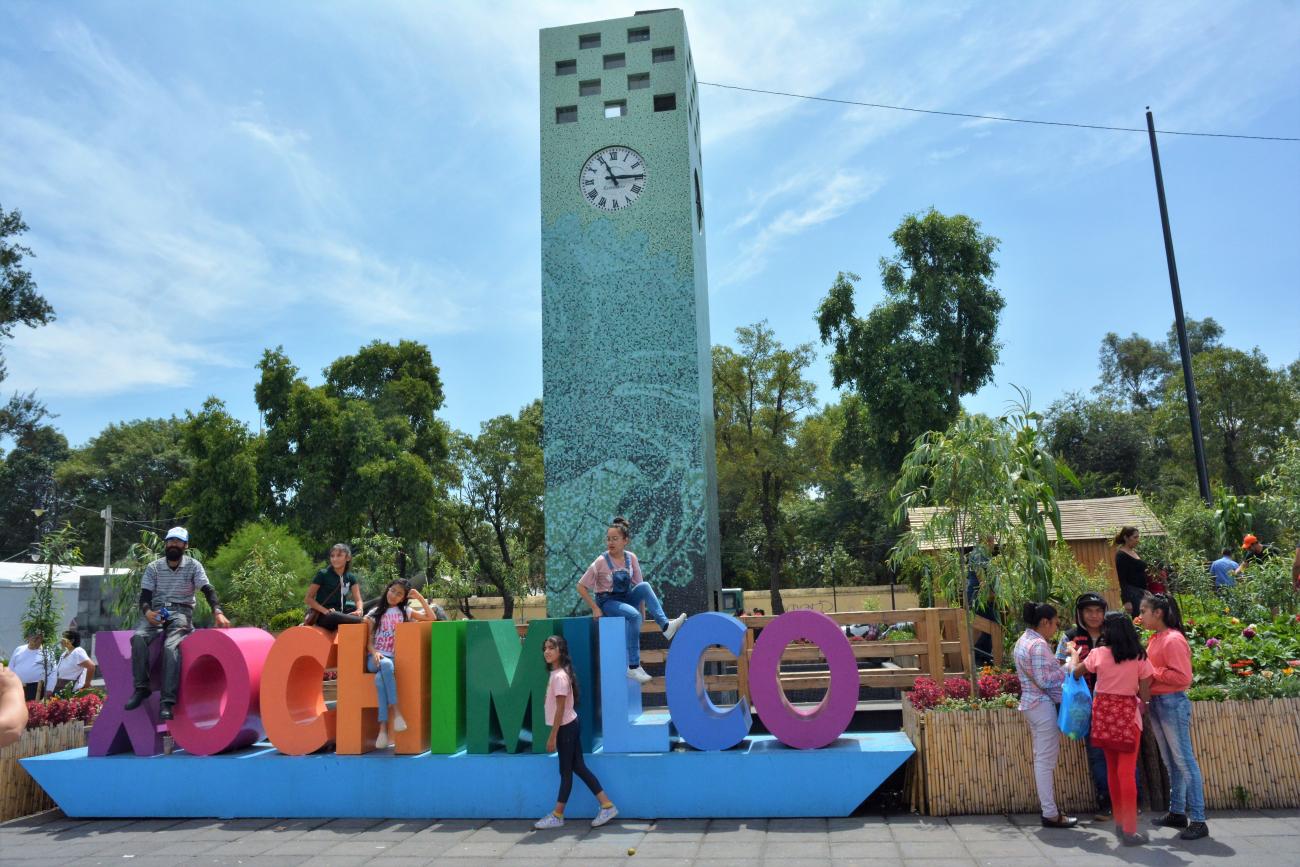
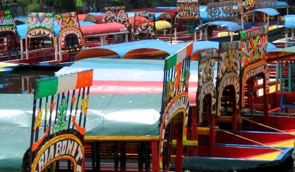
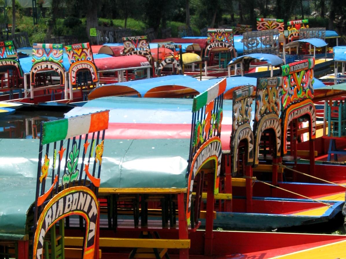
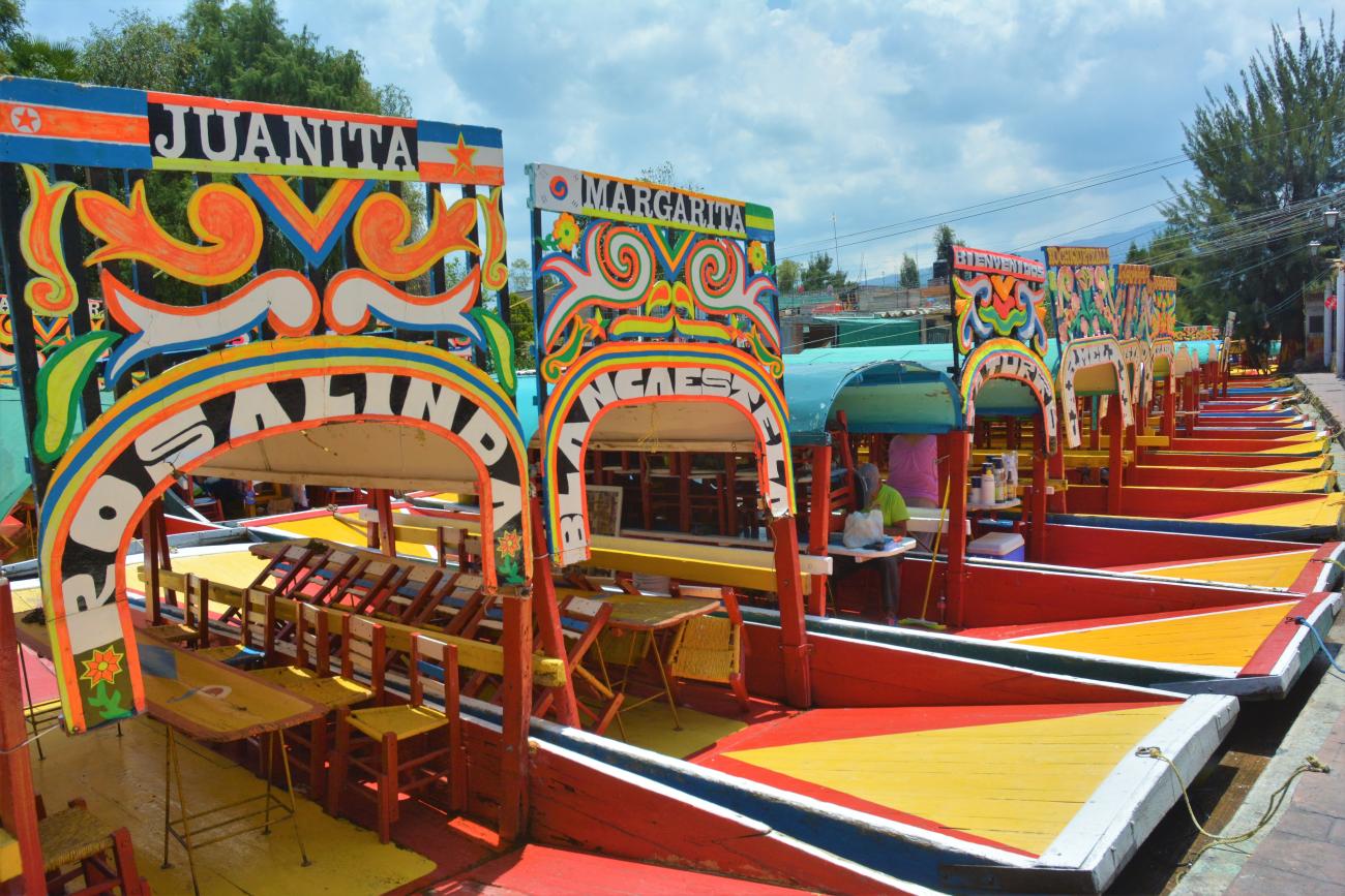
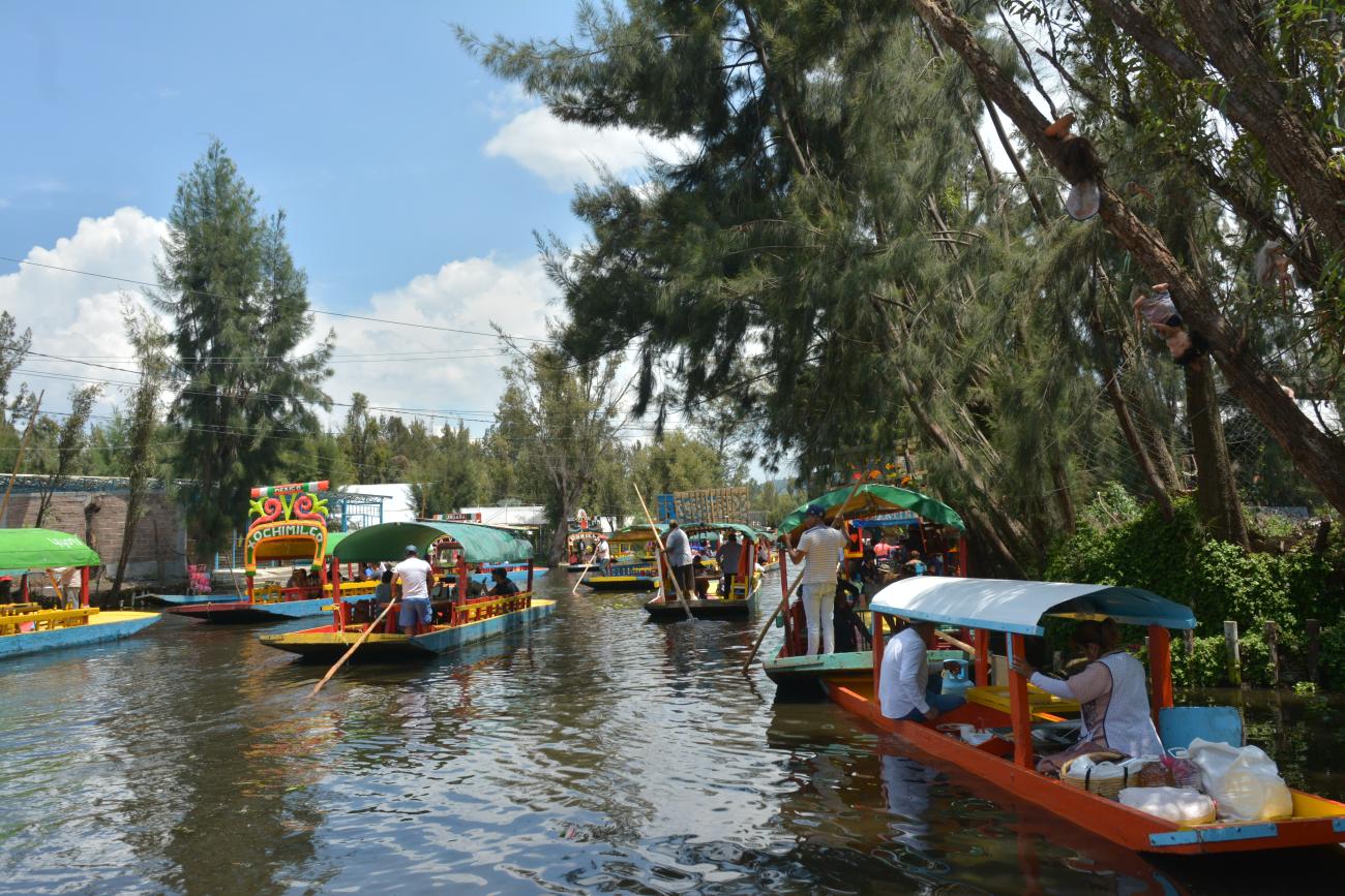
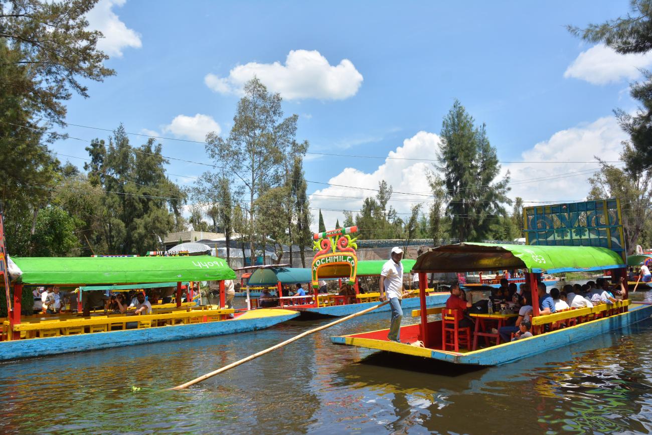
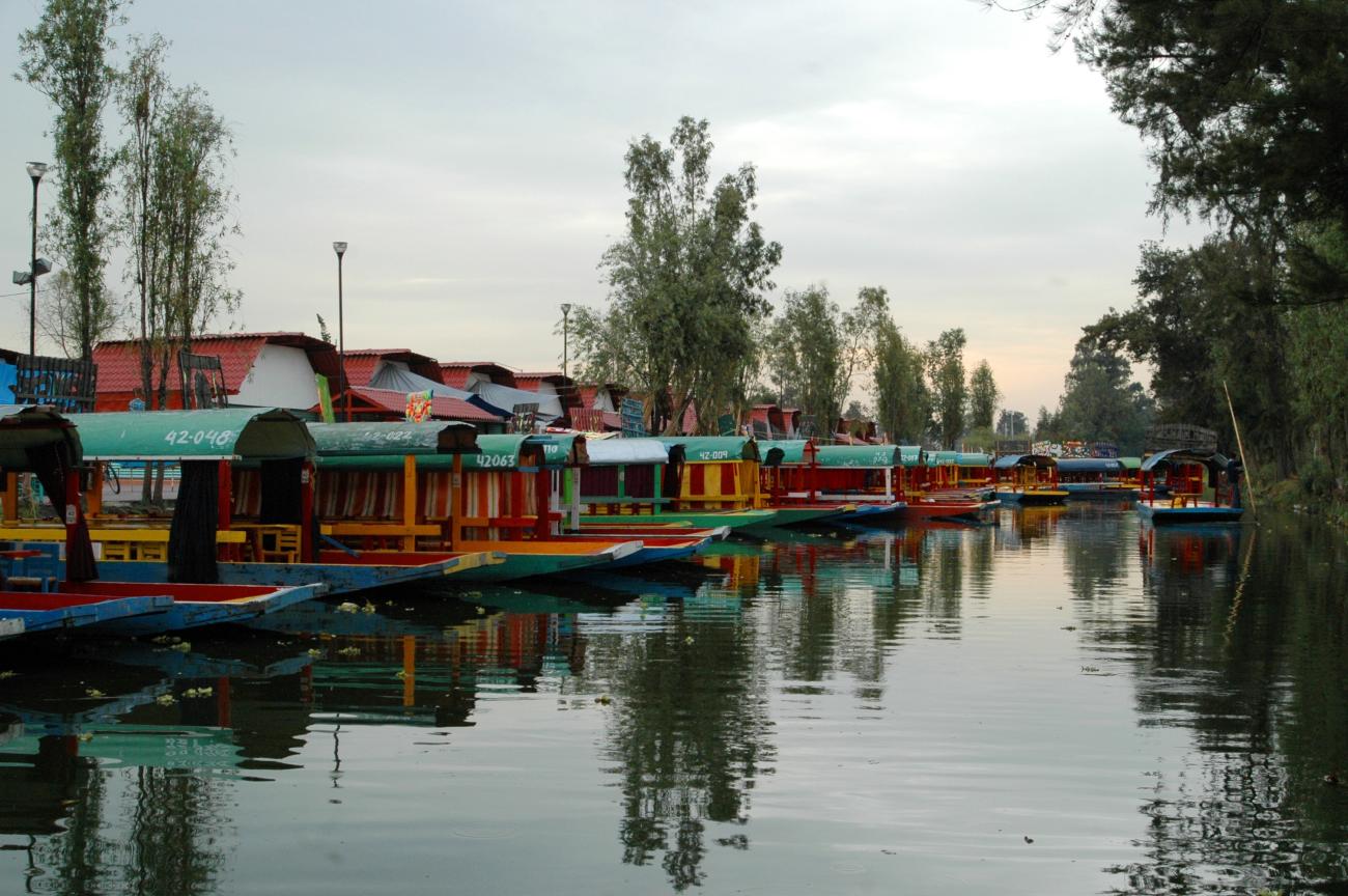
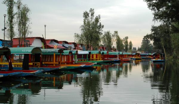
After the Revolution, Xochimilco began to become more urbanized and more a part of Mexico City. In 1929 the Federal District was divided into boroughs, with Xochimilco being one of them and in 1931 it was given the territorial demarcation that it retains to this day. Its rural landscapes have been gradually disappearing and it has seen rapid demographic growth. Currently, its canals and trajineras (gondolas) are a major tourist attraction for both locals and foreigners.
Tláhuac was founded by Chichimecas around the year 1222 AD on an island in Lake Xochimilco. This dominion remained independent until in the 14th century it was conquered by the Tepanecs of Azcapotzalco and later by the Mexica. Tláhuac was one of the places the Spaniards passed through on their way to Tenochtitlan. There they admired the beauty of the villages on the water.
During the colonial era Tláhuac, together with Mixquic, became an encomienda, that is, a territory granted by the king to a Spaniard in order to exploit the land and evangelize the indigenous people. By 1786 Tláhuac belonged to the town of Chalco, which in turn was under the jurisdiction of Mexico City.
After the independence of Mexico was declared, Tláhuac formed part of the State of Mexico, however, in 1854 it was incorporated into the prefecture of Xochimilco, together with Mixquic. During the Porfiriato, a series of civil works were carried out that began to transform Tláhuac, such as the drying out of Lake Chalco and the construction of a road from Chalco to Tlátenco to build the railroad that would later pass through Tláhuac.
After the Mexican Revolution, the towns of Tláhuac began a campaign to reestablish their city council, with the result that in 1924 it was separated from Xochimilco, and in 1929 it was constituted as a borough of the Federal District.
The settlement patterns and the location of the seven towns of Tláhuac trace the profile of the historical lake system since Zapotitlán, Tlaltenco and Yecahuízotl retain the outline of riverside towns, while Tláhuac and Mixquic still bear traces of their island origin.
Until half a century ago, Tláhuac was still a predominantly rural region, however, its proximity to the nation's capital has brought about a change in the economic activities of its inhabitants. However, the population retains its own cultural identity. Currently it is made up of seven towns: Santa Catarina Yecahuizotl, San Francisco Tlaltenco, San Nicolás Tetelco, San Andrés Mixquic, San Juan Ixtayopan, San Pedro Tláhuac and Santiago Zapotitlán.
As for Milpa Alta, its territory was populated by Chichimeca groups from Amecameca in 1240 and it belonged to the Xochimilco dominion. Later, in the 15th century, the Mexica warrior Hueyitlahuilli dominated this territory and formed the present-day neighborhoods of Santa Cruz, Los Ángeles, San Mateo and Santa Martha, head of the dominion, as well as the towns of Tulyehualco, Iztayopa, Tocómitl, Tecozpa, Ohteco, Tepenáhuac, Miacatlán and La Concepción. In addition, he built piers on the canals, a ceremonial center, roads and terraces for cultivation on the slopes of the hills. During pre-Hispanic times this area was known as Momozco, while in colonial times it was called Milpas de Xochimilco, Milpan or La Asunción de la Milpam.
During the Conquista, the inhabitants of Malacatepec Momoxco resisted the Spanish, fighting for almost 90 days before being defeated. In 1528 peace was agreed and in 1529 the indigenous were recognized with their properties and the right to appoint their local rulers, although they were required to pay tribute, abandon their old religious beliefs, and accept Catholic evangelization.
Its history has been bound up with that of Xochimilco since colonial times as it was part of the same encomienda granted to the conquistador Pedro de Alvarado. This became a township in 1541 and in 1786 it became part of the intendencia of Mexico.
At the beginning of the viceregal period, a representative of the Spanish government and the first Franciscan friars arrived in Milpa Alta, who baptized the indigenous chiefs and built a hermitage dedicated to Santa Martha. In 1570 the construction of the convent and church of the Assumption began, which took a century to complete. Other churches were also established in San Antonio Tecomitl, San Gregorio Atlapulco, Santa María Tepepan and San Pedro Atocpan.
Milpa Alta was an indigenous area where the caciques held government positions in their town hall, although they were always supervised by a Spanish magistrate. As a result they were able to maintain some of their old systems of government.
After Mexico declared its independence, Milpa Alta became part of the State of Mexico, but in 1854 it was annexed to the Federal District as part of Xochimilco, and from 1929 it was formed as a borough of the Federal District. Today it is one of the city’s alcaldías of Mexico City (after Federal District).
Xochimilco, Tláhuac and Milpa Alta were declared Zones of Historical Monuments on December 4, 1986. They comprises an area of 89.65 km2 in a single perimeter that encompasses a large part of the canals and the chinampera zone; it further comprises 698 blocks that belong to the following towns of Xochimilco: Santa María Nativitas, Santa Cruz Acalpixca, San Gregorio Atlapulco, San Luis Tlaxcaltemalco, Santiago Tulyehualco and Xochimilco; from Tlahuac: San Juan Ixtayopan, San Antonio Tecomitl, San Nicolás Tetelco, San Andrés Mixquic and San Pedro Tláhuac; and from Milpa Alta: San Francisco Tlaltenco.
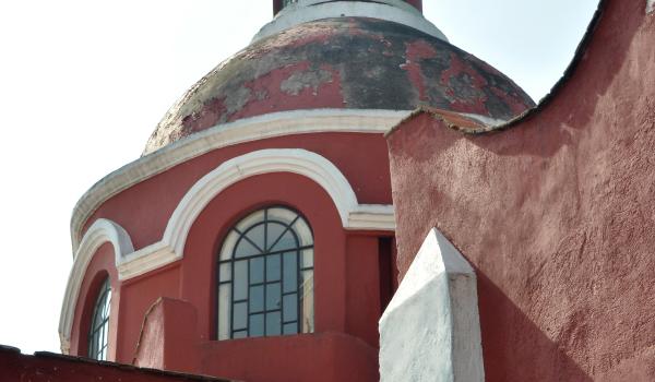
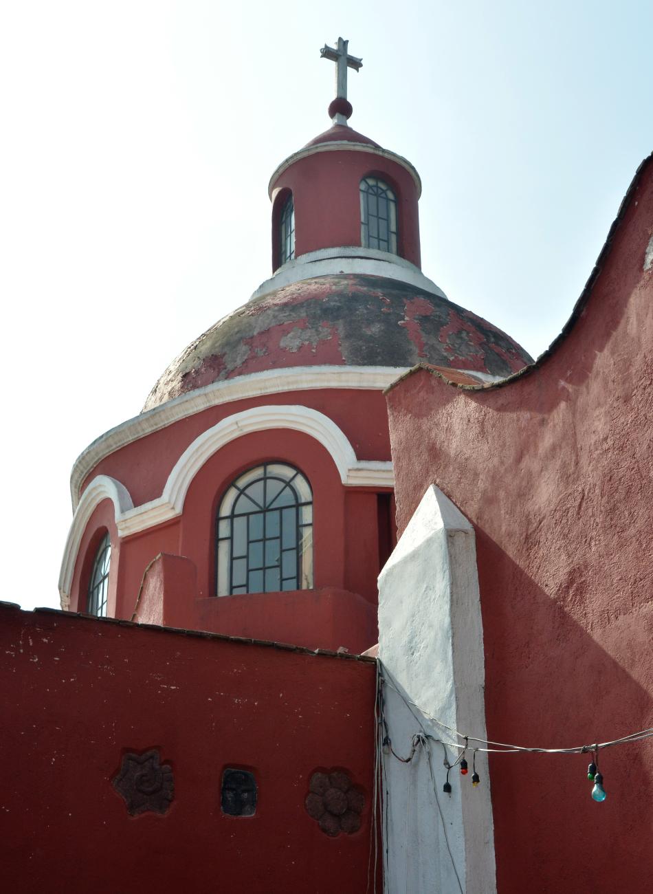
The most notable buildings in the zone include: the former monastery and Church of San Bernardino de Siena, the Chapel of the Third Order, the Chapel of the Rosary, the Church of Xaltocan, the Chapel of San Antonio, the Chapel of Bethlehem, the Chapel of Concepción Tlacoapa, the Chapel of San Juan Bautista, the Chapel of Santa Crucita, the Church of Santa María Nativitas, the Church of San Salvador, the Church of Santa Cruz Acalpixca, the Church of San Gregorio Papa, the Church of San Luis Obispo, the Church of Santiago Tulyehualco, the Church of San Juan Bautista, the Capilla de la Soledad, the Church of San Antonio de Padua, the Church of San Nicolás Tolentino, the Parroquia de San Andrés Apóstol, the Church of San Pedro Tláhuac, the Church of San Francisco de Asís, as well as the Puerta de Tlaltenco.
The zone was inscribed on the UNESCO World Heritage List on December 11, 1987, along with the Historic Center of Mexico City. Xochimilco was also decreed a “Typical and Picturesque Zone” in the Official Gazette on October 5, 1934.

Capilla de San Juan
This temple dates back to the late 17th century. Some of its walls and buttresses feature embedded pre-Hispanic reliefs. It consists of a nave and a tower with three bells, one of which was replaced years after its construction.
Casa Amaya
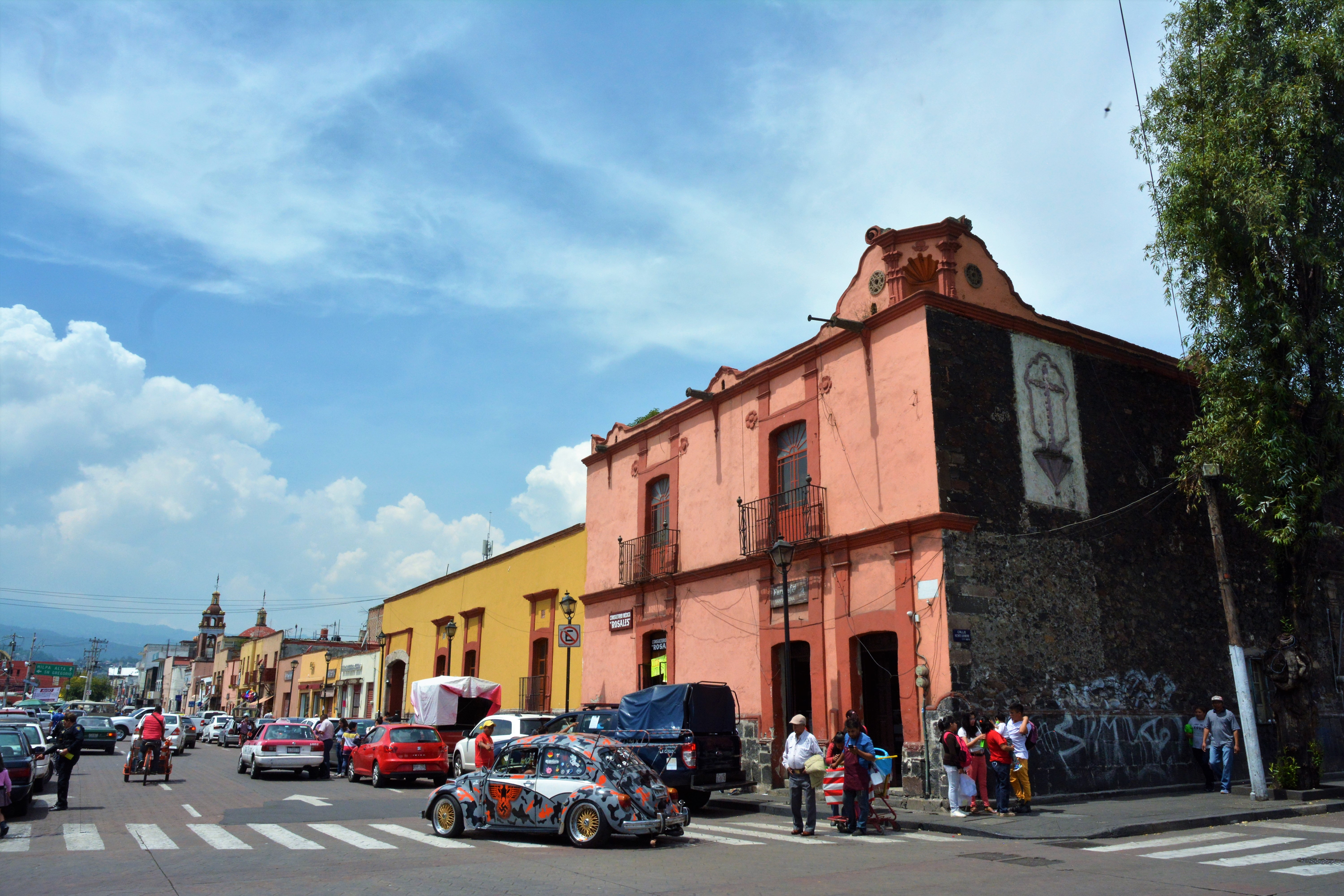
This house, built around 1553, belonged to the chieftain Apochquiyauhtzin, baptized as Luis Martín Cerón, who ruled the Tepetenchi district. After being inherited by his descendants, it was purchased by Máximo Amaya Guevara in 1920.

This house, built around 1553, belonged to the chieftain Apochquiyauhtzin, baptized as Luis Martín Cerón, who ruled the Tepetenchi district. After being inherited by his descendants, it was purchased by Máximo Amaya Guevara in 1920. The ground floor premises have been used as a Monte Pío charity (until 1936), a clothing store (1940-1950), a doctor's office and pharmacy (1952 to date), and a furniture store (1980).