


Tlalpan
This is the site where the first pre-Hispanic town flourished in the Valley of Mexico, and it has also been a site of recreation and leisure activities since colonial times. Its woods, lakes, houses and churches make it one of the most beautiful sites in Mexico City.
07_EN_608_ZMH_CiudadDeMexico_Tlalpan.wav
The name “Tlalpan” is made up of two terms in Náhuatl: tlalli, meaning “earth”, and pan, which means “on top of or above”; together, the word therefore signifies “on top of the earth or on solid ground.”
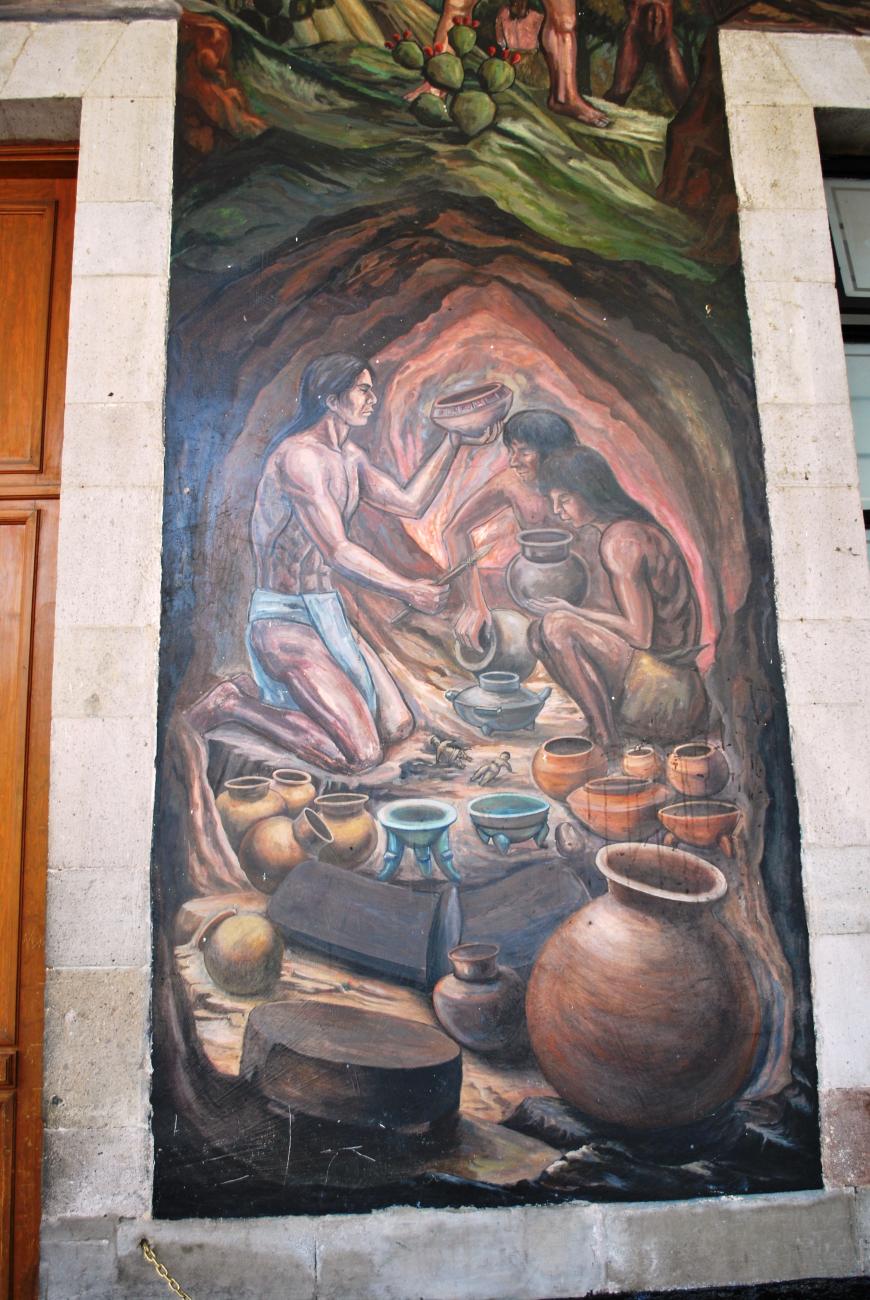
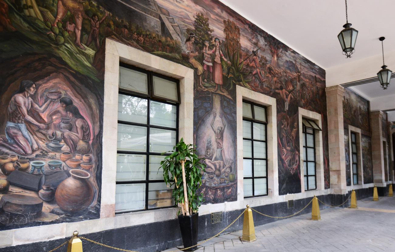
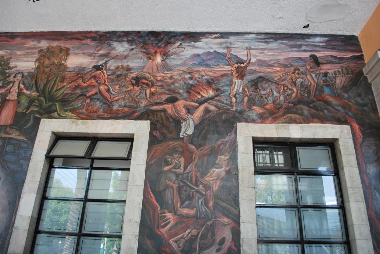
Tlalpan is today found in the south-west of Mexico City and is notable for its volcanic soil. It was home to the first stratified urban society in the Valley of Mexico, remains of which are preserved at Cuicuilco. It covered an approximate area of 400 hectares and had a population of 20,000, but the development of the city was cut short around the year 100 B.C. by the eruption of the Xitle volcano.
In the 7th century A.D., when the Nahua tribes reached the Mexican Basin, the territory of Tlalpan was occupied by two peoples: one of Xochimilca origin who lived in Topilejo, and one of Tepaneca origin from Coyoacán, who established the present-day settlement of San Miguel Ajusco. By the end of the 15th century, the area formed part of the lordship of Xochimilco, and eventually of Mexico-Tenochtitlan.
During the vice-regal period, Tlalpan was a part of the Marquisate of the Valley of Oaxaca, granted to Hernán Cortés in recompense for his conquests. The marquisate was broken up and in 1537 the town of San Agustín de las Cuevas was founded, and the region of Tlalpan was known by this name during the colonial period, when it fell under the authority of the corregimiento of Coyoacán.
To evangelize the indigenous people, Franciscan and Dominican monks settled in the area, building a church and hospice in 1637. A number of chapels were also raised, among which that of Virgen del Rosario stands out for the beauty of its Baroque altar.
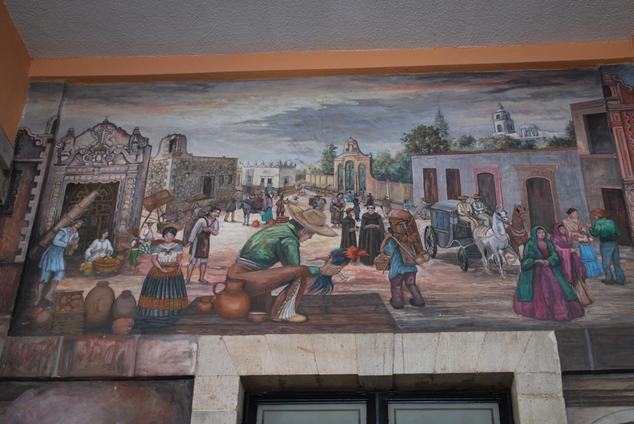
From the late 17th century, this and other settlements located in the south of the Valley of Mexico became places of recreation where people made outings to the countryside. Wealthy families built sumptuous country houses with gardens and orchards, such as the Casa Chata, the Casa del Marqués de Vivanco and the Casa del Conde de Regla. By the end of the colonial period, the haciendas of Peña Pobre, Jocco, San Juan de Dios and the ranches of Santa Úrsula, Cuautla, Carrasco and Arenal all formed a part of the jurisdiction of San Agustín de las Cuevas.
Agriculture and timber extraction were the dominant economic activities, while the area was noted for its orchards and vegetable gardens, producing a great variety of fruits and flowers.
San Agustín de las Cuevas was divided into five parts: the Center and the neighborhoods of Santísima, San Pedro Apóstol, Niño Jesús and El Calvario.
In 1824, with the Independence of Mexico secured, the nation was divided into states, with San Agustín de las Cuevas coming to form a part of the State of Mexico. In 1827 it became the state capital, and was designated a city in the same year under its original name of Tlalpan. One year later, the Mint of the State of Mexico was established in the city, where it operated until 1830, and the following year the La Fama textile and thread factory was set up, an event seen as the birth of industry in Tlalpan. Not long after, the San Fernando factory was also established, operating until the end of the century.
Other significant events that occurred while Tlalpan was the capital of the State of Mexico were: the establishment of the press, museum and literary institute, the placement of a Spanish clock in the church of San Agustín and the naming of explorers Alexander Von Humboldt and Aimé Bonpland as honorary citizens of the State of Mexico.
During the war between Mexico and the United States, the area was occupied by the foreign troops between 1846 and 1848. In 1855, Tlalpan was finally incorporated into the Federal District of the nation’s capital, an order issued by interim president Juan Álvarez.
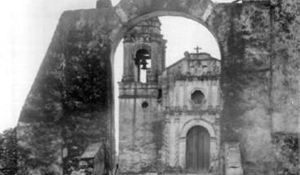
In 1865, the period of the Second Mexican Empire, a conspiracy was formed in Tlalpan to remove Emperor Maximilian from power and liberate the country from foreign forces. However, the conspiracy was discovered, and those involved sentenced to death. The verdict was carried out in Tlalpan’s principal plaza, where they were hung from a tree that is still said to exist today.
During the Porfiriato period, the railroad service to Chalco was introduced, passing through the towns of Tacubaya, Mixcoac, San Ángel, Coyoacán and terminating its route at Tlalpan. Meanwhile the La Paz Market opened, the only one dating from this epoch still preserved in Mexico City. In the sphere of telecommunications, the first telephone call was made between Mexico City and Tlalpan and a telegraph office was established.
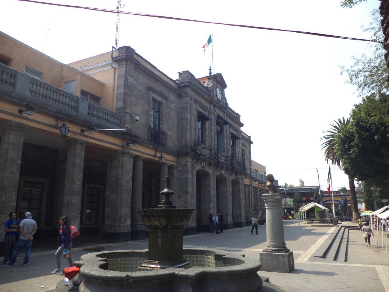
In 1872 the garden of Tlalpan’s main plaza was constructed, while the first industrial strike in the region was recorded at the La Fama factory. In 1891 the horse-drawn tram began to operate, replaced in 1900 by an electric tram that took a route from the Zócalo at the center of Mexico City to San Fernando. By 1903, Tlalpan was one of the 13 municipalities into which the Federal District was divided.
During the Mexican Revolution, the zone saw frequent combat between the Zapatista and Constitutionalist forces, with the involvement of generals such as Valentín and Manuel Reyes Nava, natives of Ajusco.
In 1928, Tlalpan became one of the 12 boroughs of the Federal District. In 1952 the Mexico-Cuernavaca highway opened, making Tlalpan one of the best-connected zones in the whole city. In 1968, as part of the Olympic Games the Villa Olímpica and Villa Coapa were established to house the athletes, journalists and staff; once the games were over, they were sold as housing.
Today, Tlalpan is the largest borough in Mexico City in terms of surface area. It is also one of the city’s lungs, as a large part of the territory is a green area and ecological reserve. It incorporates six parks and forests, including the Loreto and Peña Pobre Ecological Park, the Fuentes Brotantes National Park, the Forest of Tlalpan and the Cuicuilco Ecological Park. In addition, its 41 gardens and plazas mean Tlalpan remains an ideal site for a walk in the open air.
Notable cultural figures from Mexico’s history were born in Tlalpan: the journalist and poet Renato Leduc and the costumbrista writer Luis G. Inclán.
The various component districts of Tlalpan maintain an extensive calendar of religious festivals, including notable Day of the Dead festivities and the celebration of the saints’ days of the towns and barrios. These days are celebrated with a religious ceremony, dances and musical performances, while typical food is prepared and, at night, towers of fireworks are lit.
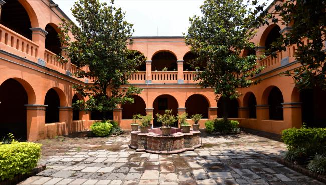
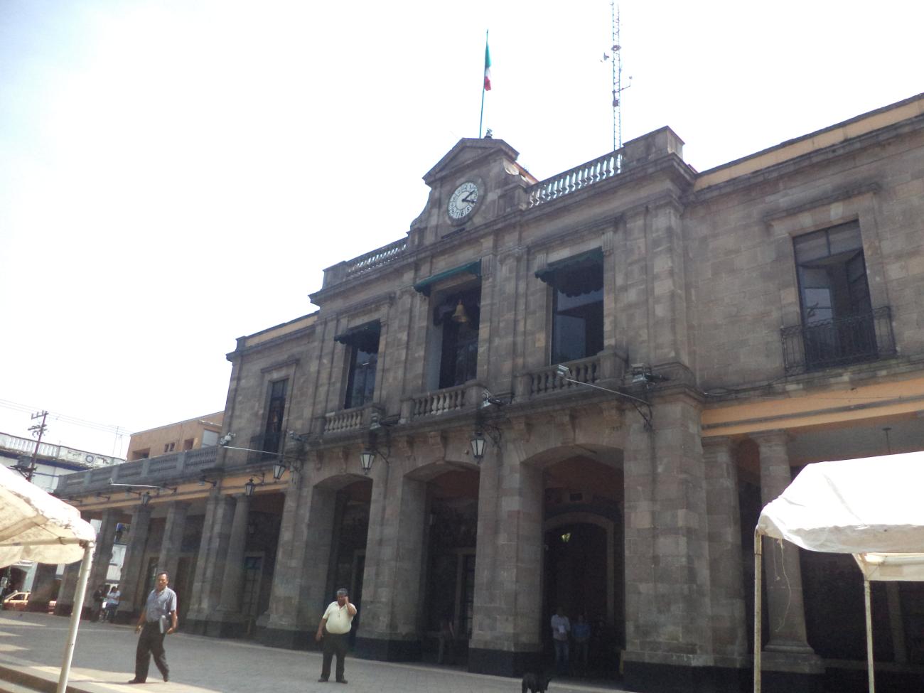
Tlalpan was declared a Zone of Historical Monuments on 5 December 1986. The zone comprises an area of 1.6 km2 and includes 45 city blocks with buildings of historical interest and architectural value. The architecture and urban layout incorporates elements from different periods in Mexican history; however, the zone preserves to a large extent the ancient 18th-century street layout.
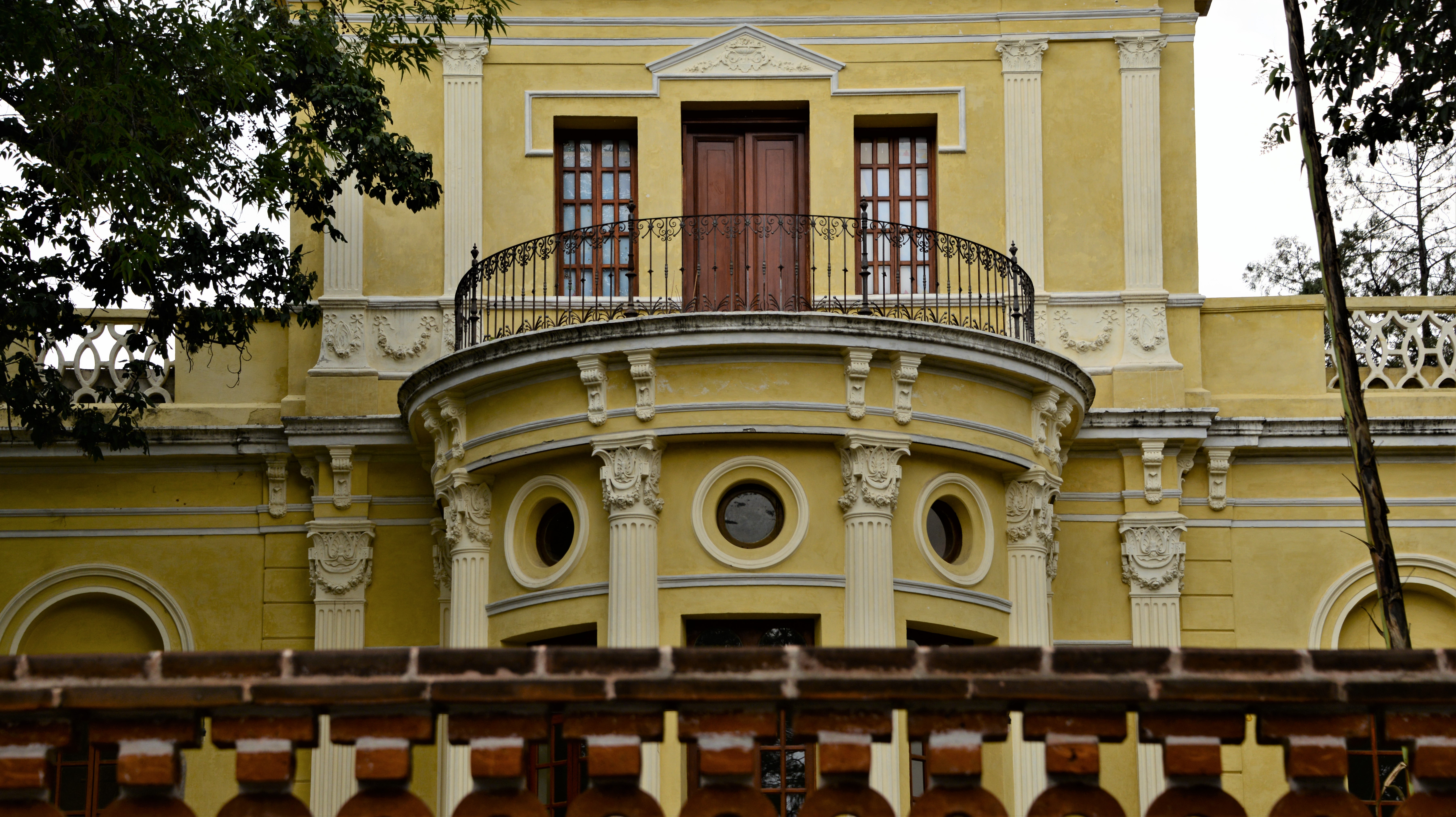
The most significant historical monuments include the main plaza, the church of San Agustín, the Calvario chapel and the Oratorio de Amaxcalco; the Purísima Concepción church, the Former Hacienda of Tlalpan, the Casa Chata, the Former Mint, the Casa del Conde de Regla, the Casa del virrey Antonio de Mendoza y del insurgente Pedro Ascencio, the Casa del marqués de Vivanco and the Casa Frissac; as well as several houses with colonnades, the municipal hall and the market.

-
Monumentos Históricos
-
Bienes inmuebles con valor cultural
-
Conjuntos arquitectónicos
-
Sitios de interés

Templo de la Purísima Concepción
17th-century religious building, restored in 1965. During the restoration, the chancel wall was preserved, the buttresses were rebuilt, and the main facade was cleaned.

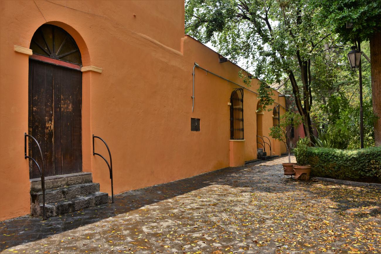
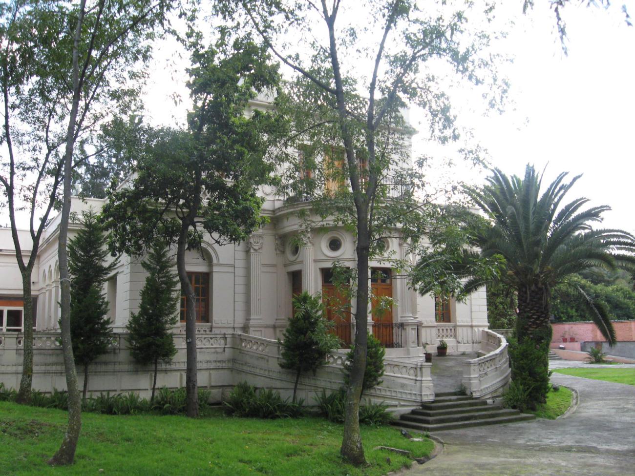
Ex Hacienda Peña Pobre
17th-century building. The first Viceroy of New Spain, Antonio de Mendoza, granted Bernardino del Castillo, a conquistador and former servant of Hernán Cortés, land in the areas of Los Canales and Topilejo.

17th-century building. The first Viceroy of New Spain, Antonio de Mendoza, granted Bernardino del Castillo, a conquistador and former servant of Hernán Cortés, land in the areas of Los Canales and Topilejo. This hacienda had numerous springs that met its needs and supplied neighboring properties. Over time, its owners annexed nearby lands.
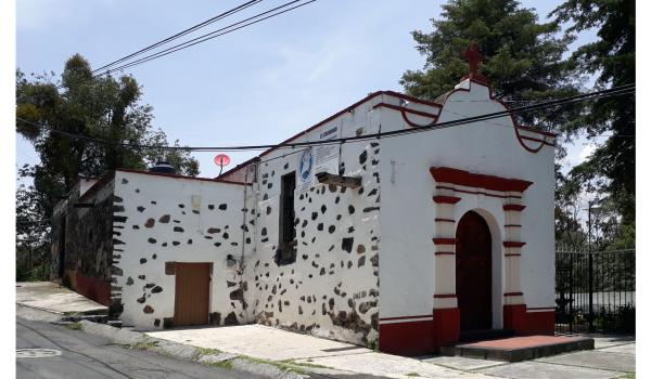
Capilla de la Magdalena
17th-century religious building. Maintenance work was carried out in 1965, and a tower was added a year later. It preserves stone-carved tombstones from the early 20th century. The interior altars are in the Neoclassical style.

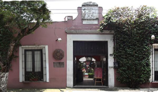
Casa de la Cultura Frissac
19th-century building, constructed by landowner Jesús Pliego Frissac. After being owned by the family of former president Adolfo López Mateos, it served as the Lancaster School of the British-Mexican Bicultural Project. It currently functions as a cultural center.


19th-century building, constructed by landowner Jesús Pliego Frissac. After being owned by the family of former president Adolfo López Mateos, it served as the Lancaster School of the British-Mexican Bicultural Project. It currently functions as a cultural center. In 2000, it was named "Instituto Javier Barros Sierra."
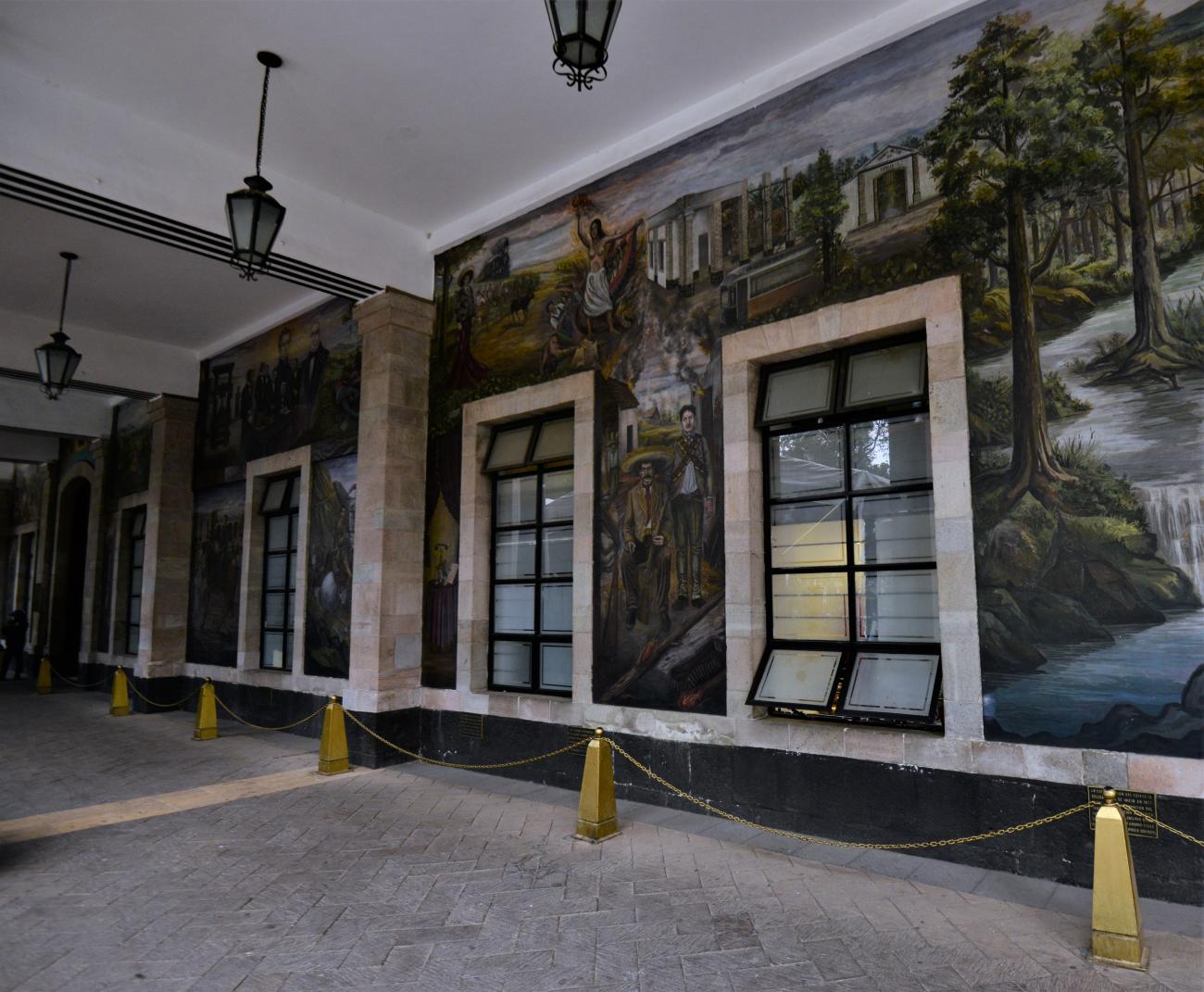
Museo de Historia de Tlalpan
18th-century building. In 2003, the local government adapted it for use as a museum.


Dirección de Estudios Históricos del Instituto Nacional de Antropología e Historia
18th-century building under the custody of the National Institute of Anthropology and History (INAH).


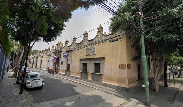
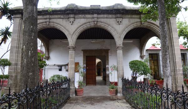
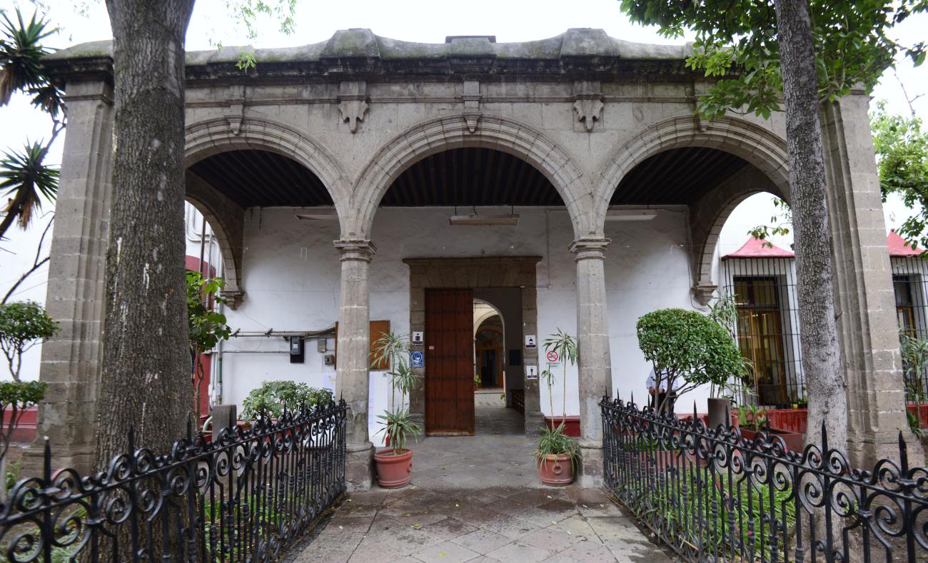
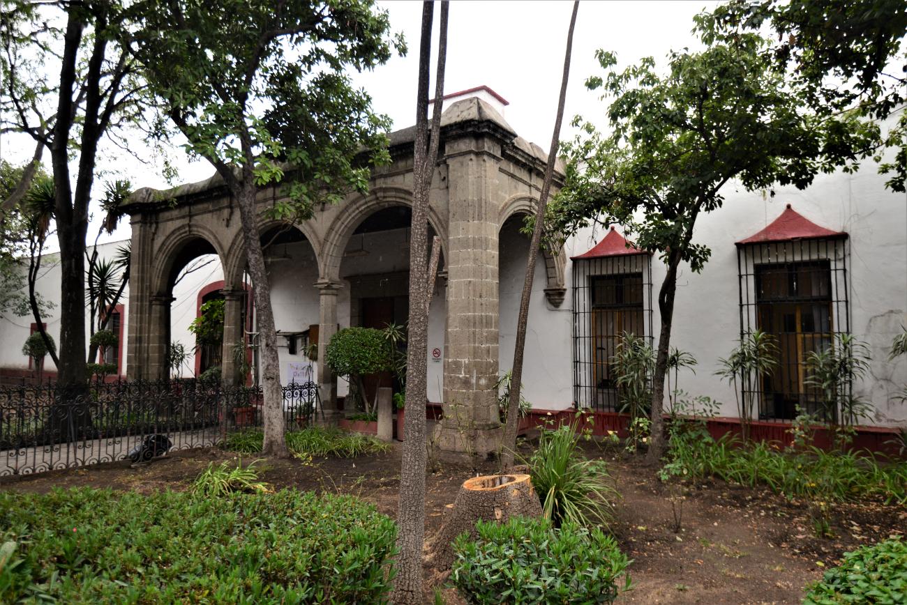
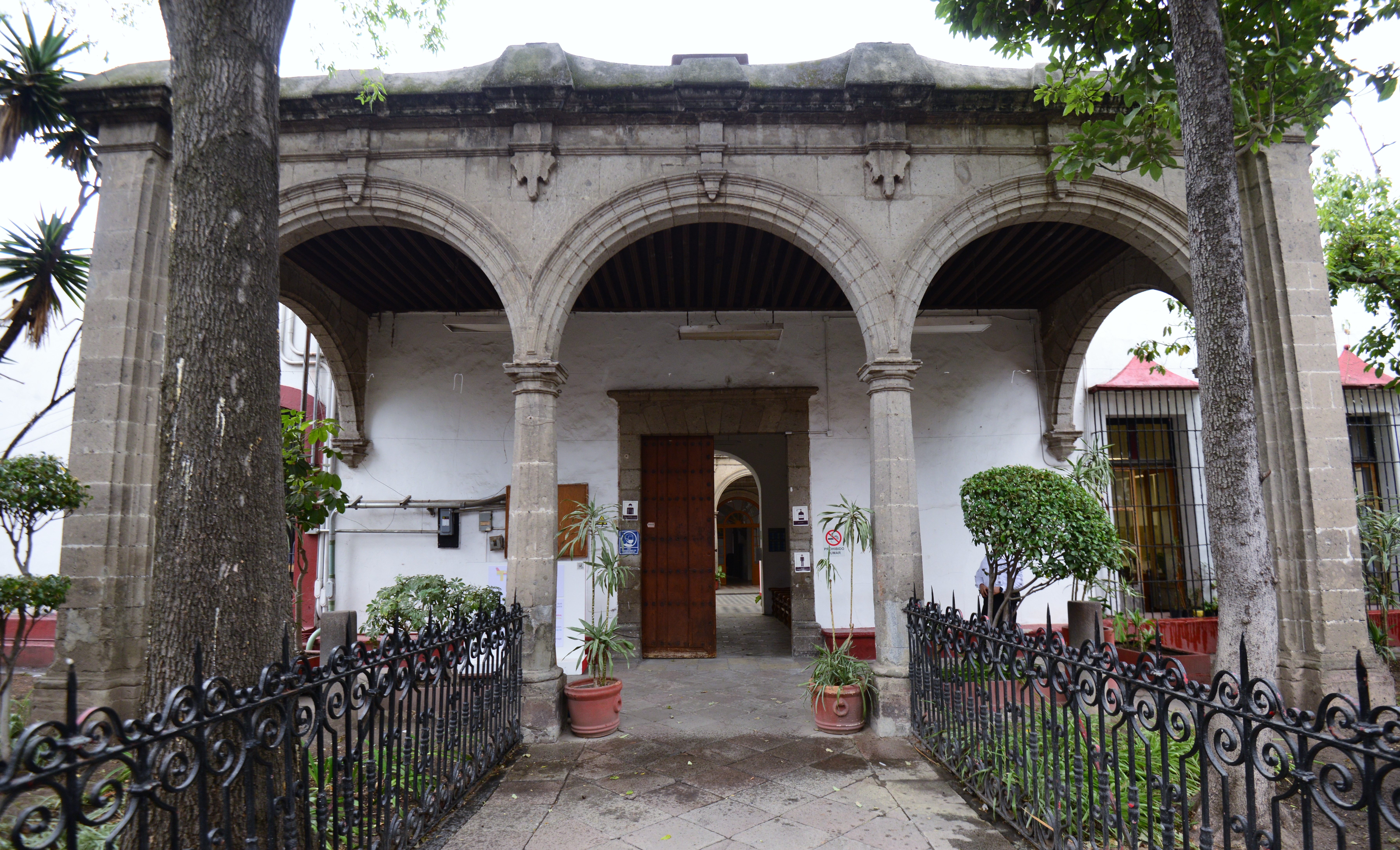
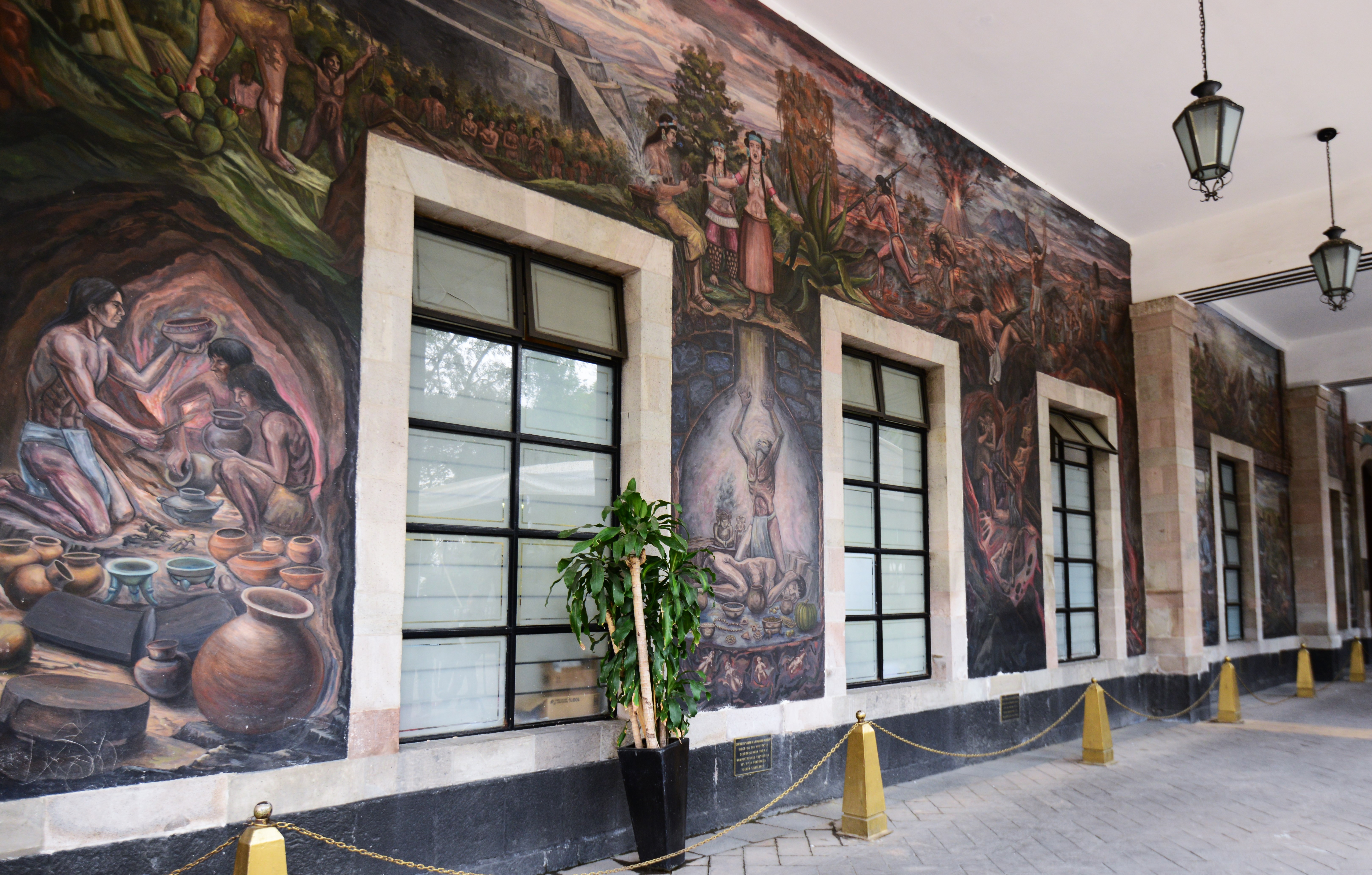
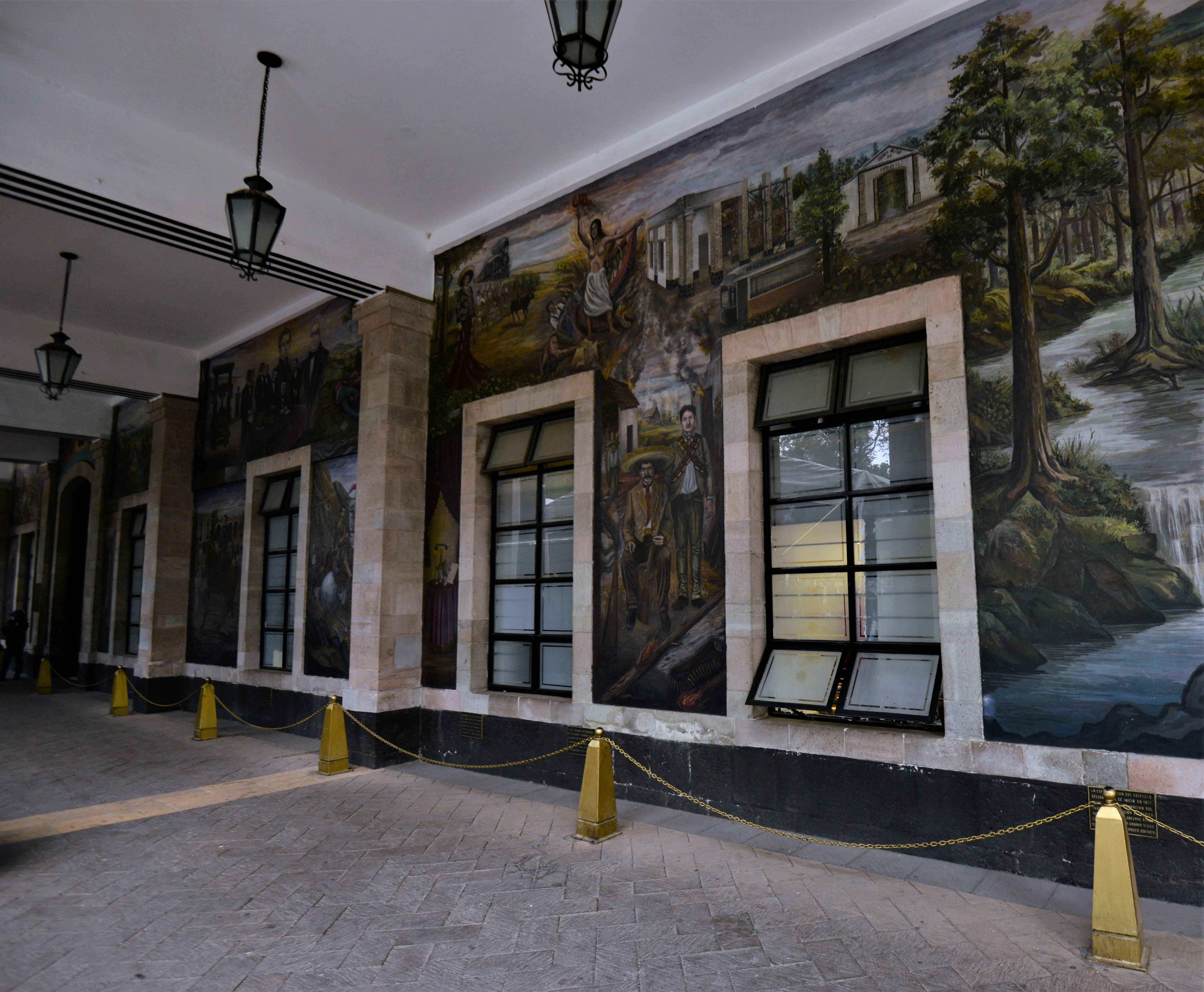
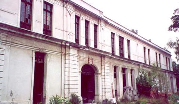
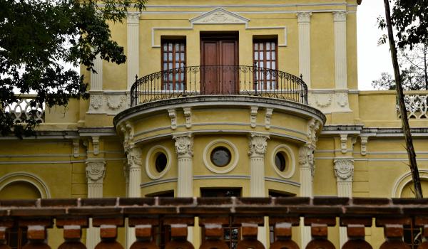
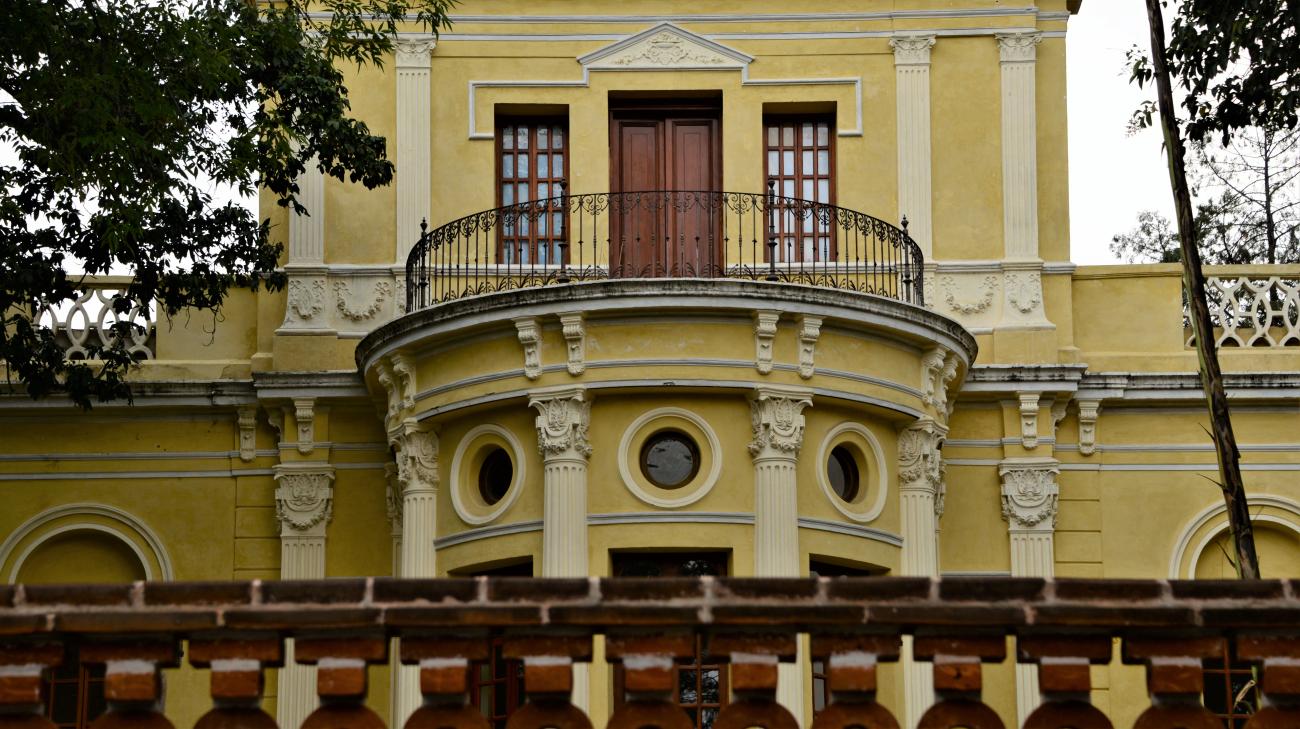
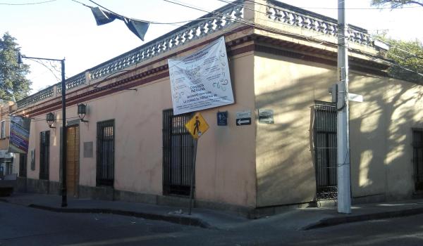
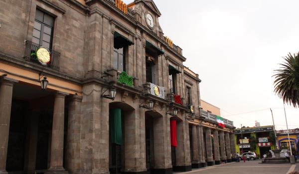
Antigua Casa de Moneda
16th-century building, which functioned as a hospice for Dieguino missionaries in 1590. Between 1822 and 1830, it served as the Government Palace of the State of Mexico, and later as a Mint, established by a decree of the Congress of the State of Mexico until July 1830.

16th-century building, which functioned as a hospice for Dieguino missionaries in 1590. Between 1822 and 1830, it served as the Government Palace of the State of Mexico, and later as a Mint, established by a decree of the Congress of the State of Mexico until July 1830. From 1856 to 1858, it housed the barracks of Juárez's troops during the Reform War. Empress Carlota Amalia stayed here between 1865 and 1866.


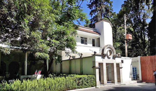
Casa de Cultura de Tlalpan
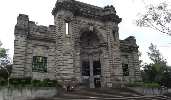
Former Casa de las Bombas, its facade was built in the early 20th century, designed in 1907 by engineer Alberto J. Pani.
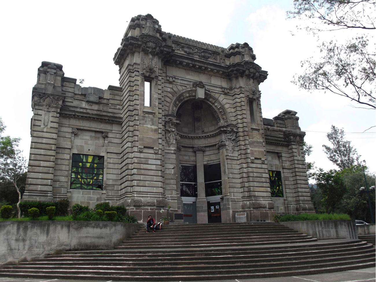

Former Casa de las Bombas, its facade was built in the early 20th century, designed in 1907 by engineer Alberto J. Pani. It was decorated with aquatic motifs such as turtles, serpents, snails, and tritons, with a statue of Neptune in the center of the vault, which were later relocated to the Bosque de Tlalpan. The architectural project was carried out by architect Pedro Ramírez Vázquez, who combined Modernist and Neoclassical styles.
Casa de las Campanas
19th-century building. It has served various purposes, including as the Convento de las Madres Teresianas in 1950. From 1976, it was the headquarters of the CIESAS offices. It retains 19th-century fountains and a chapel. Currently, it functions as a party venue and restaurant.

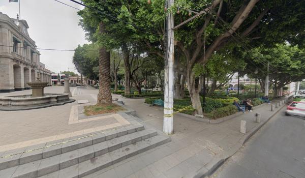
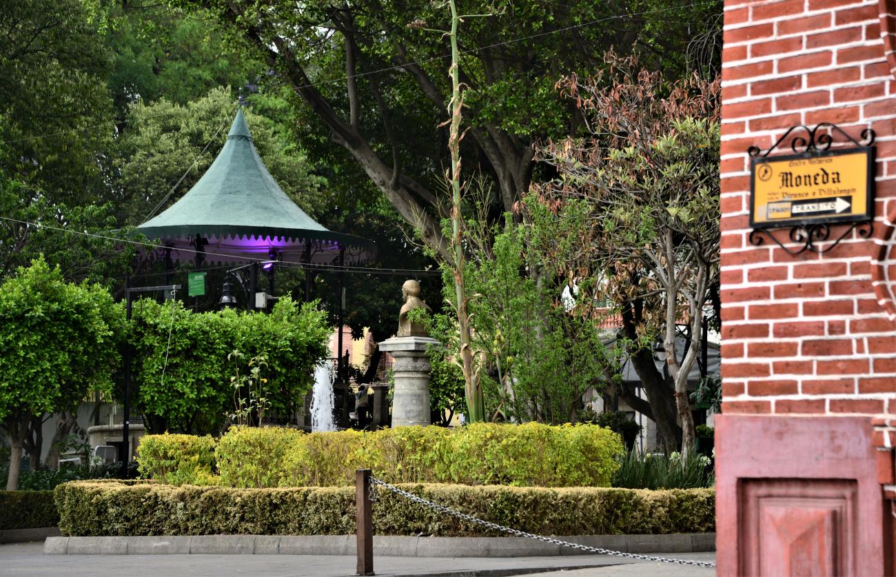
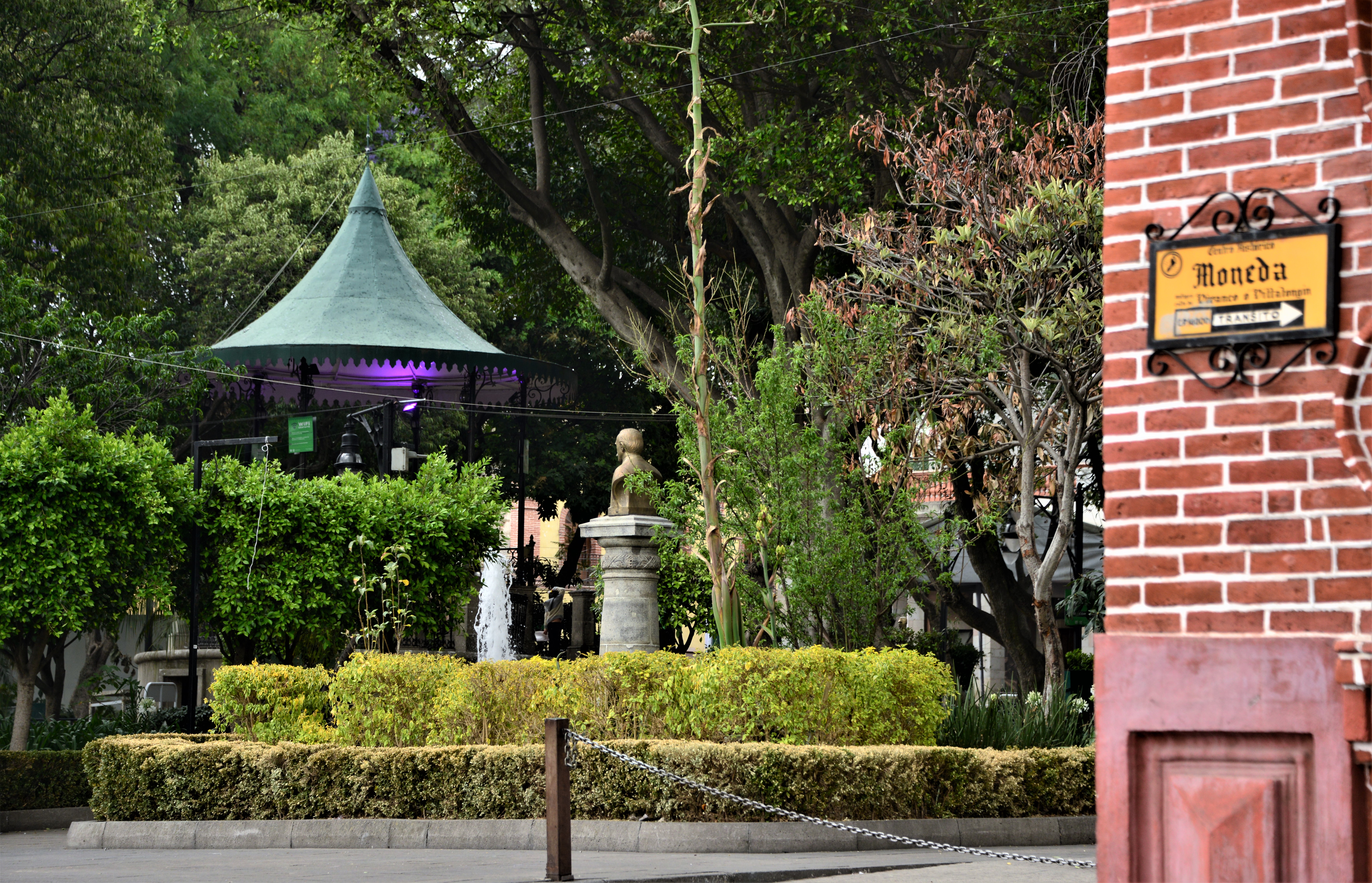
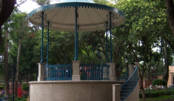
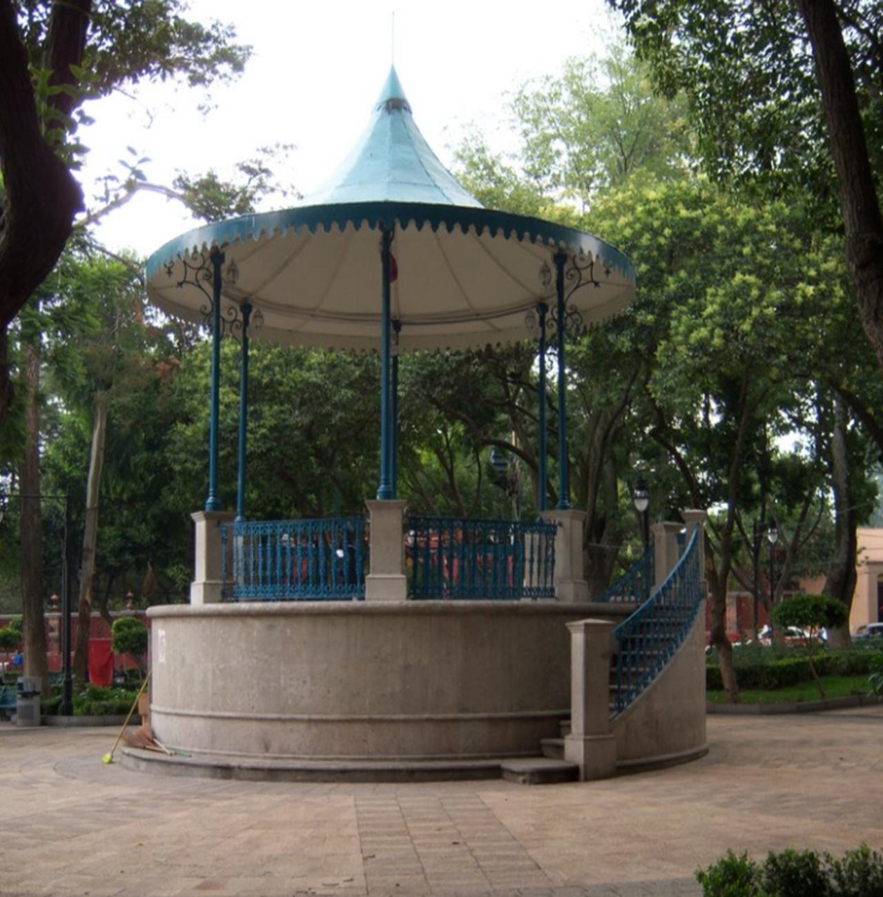
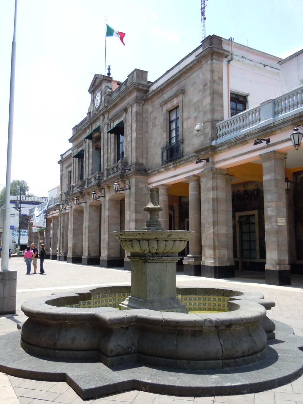
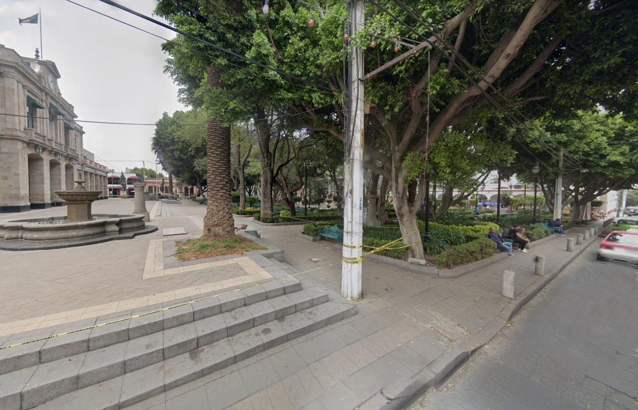
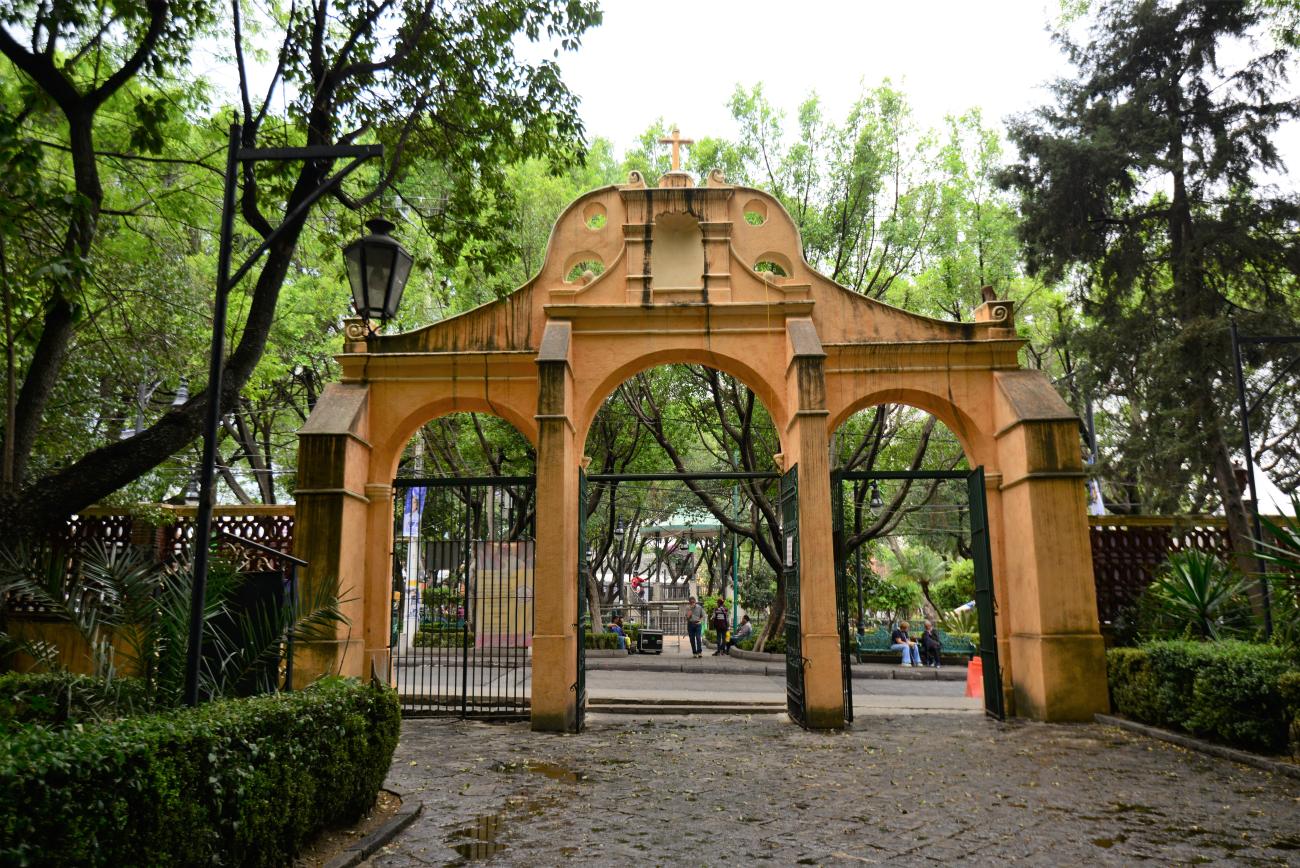
Plaza del Centro de Tlalpan
Garden constructed in 1872. Within it stands the historic tree where the "martyrs" were hung by the defenders of the empire. In 1979, conservation and maintenance work was carried out.
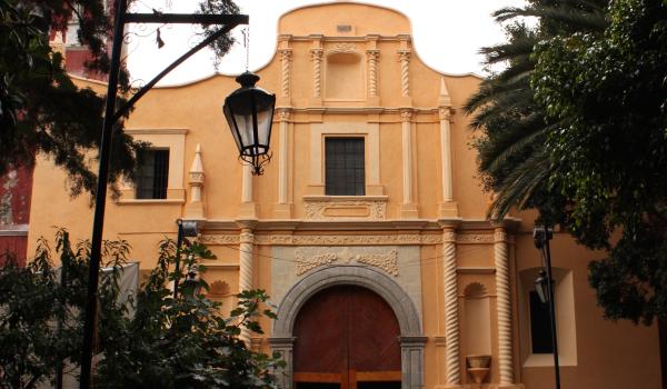
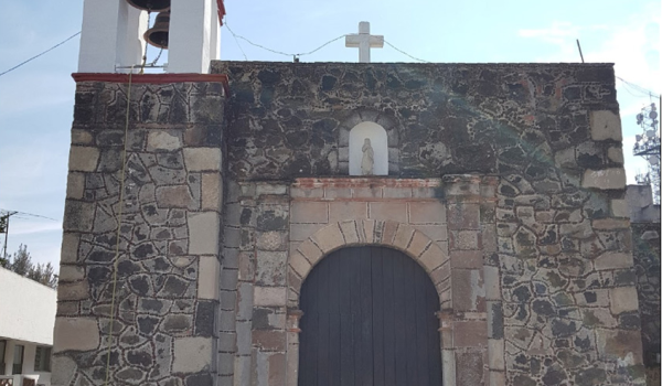
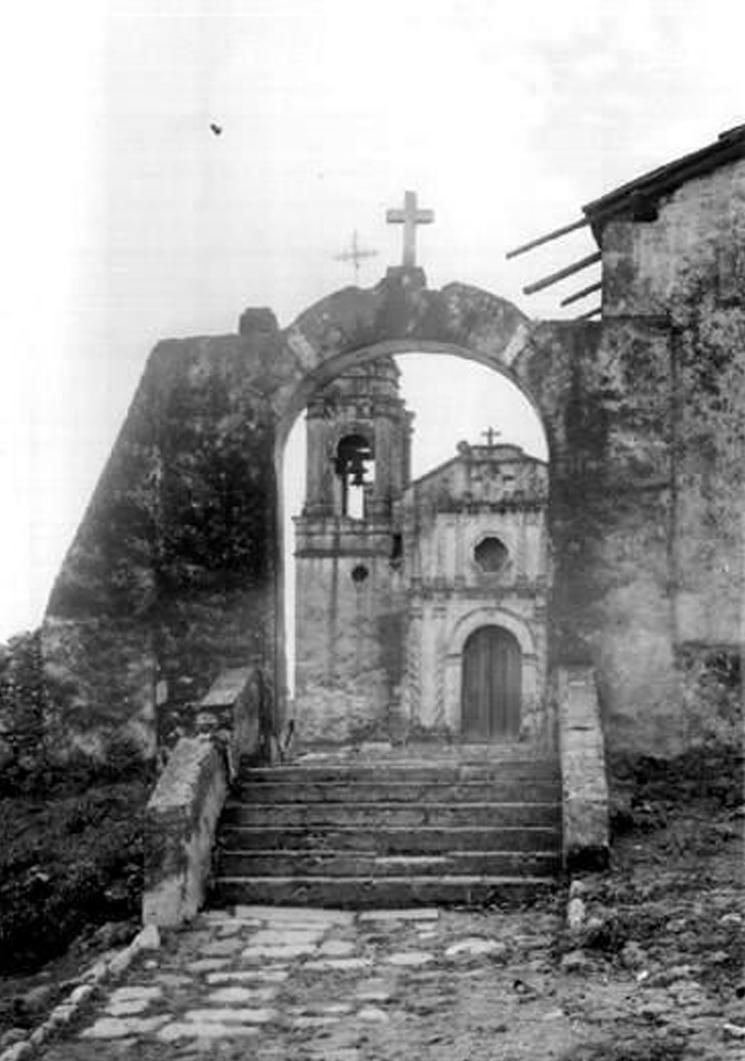
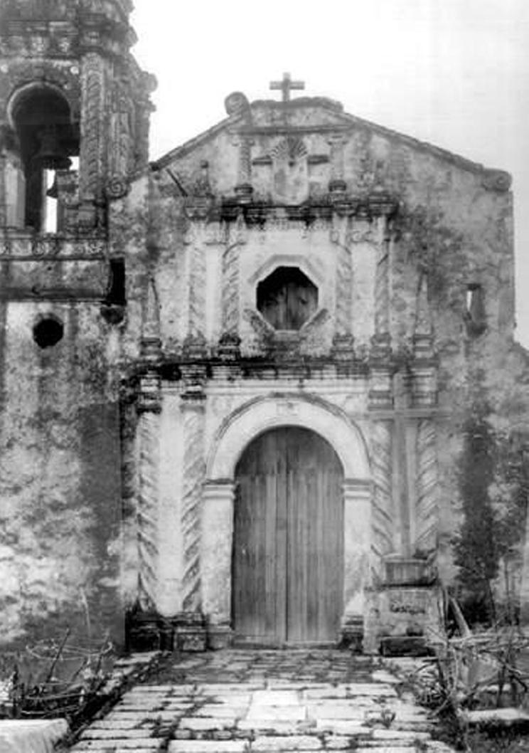
Parroquia de San Agustín de las Cuevas
16th-century religious building, founded in 1580 by the Dieguino friars of the Order of Santo Domingo de Guzmán. It initially started as a small chapel and, after various stages of construction, evolved into a large three-tiered parish.


16th-century religious building, founded in 1580 by the Dieguino friars of the Order of Santo Domingo de Guzmán. It initially started as a small chapel and, after various stages of construction, evolved into a large three-tiered parish. The arch of the facade dates back to the 17th century, while the niches and columns were added in the 18th century.