


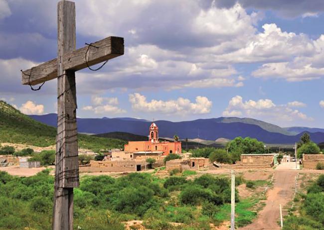

Pueblo de San Pedro del Gallo
San Pedro del Gallo, also known as Ojo del Gallo, is currently located in the municipality of the same name, in the stretch that connected the Nazas River and the Zarca plateau. This route was formerly known as the Carretas Path and is situated in a semi-desert region of the Bolsón de Mapimí. In this area, there is a water spring, which made the region a resting place for travelers on the Royal Inland Road where they could graze their horses.
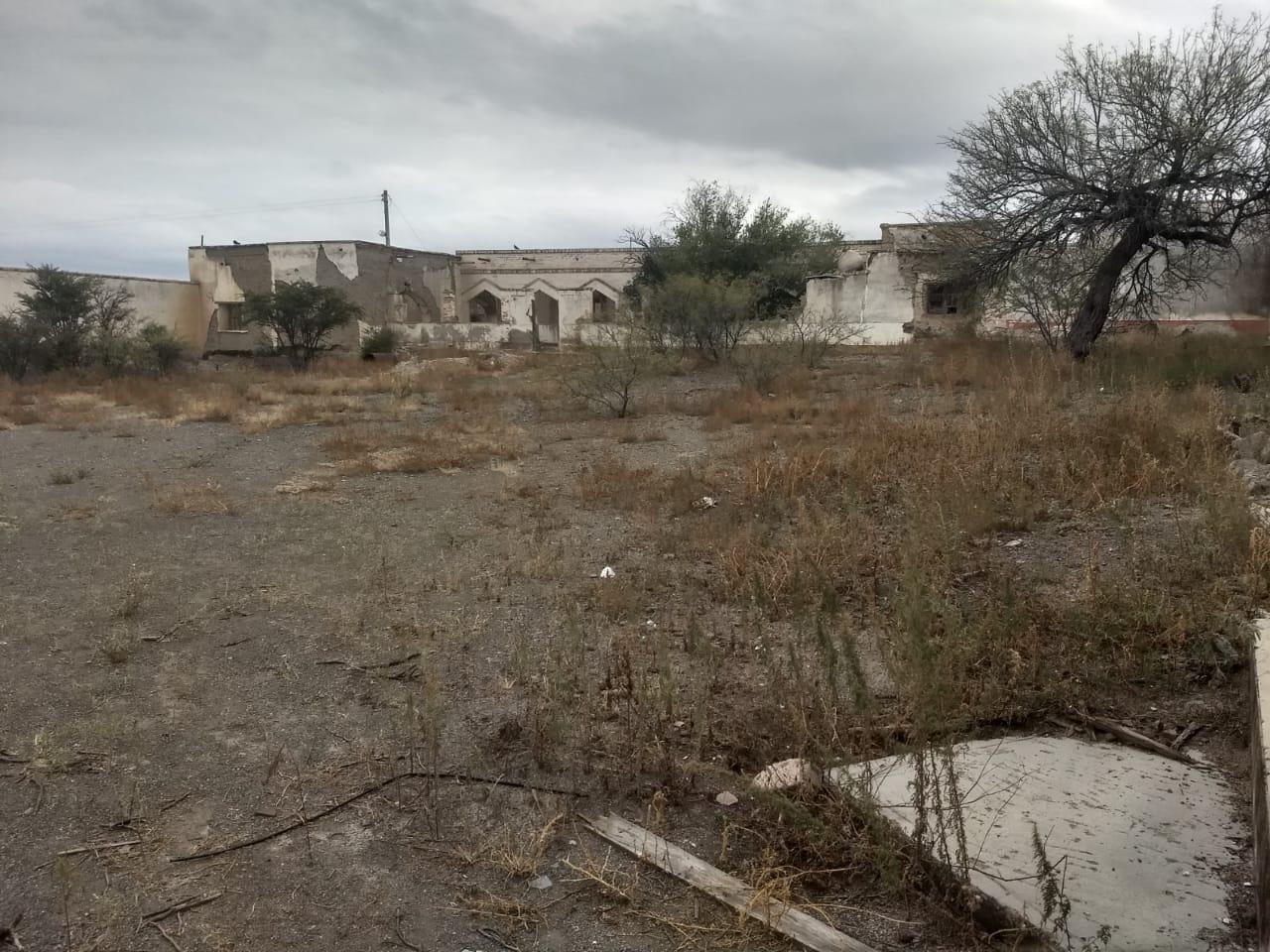
Due to these characteristics, the Spanish authorities chose the location to establish the presidio of San Pedro del Gallo in 1685. This military outpost also aimed to protect the Royal Inland Road, as there was still concern about the insurgency of the Pueblo Indians from New Mexico, who had already caused revolts in the region between 1683 and 1687. The presidio was located at the crossroads leading to Indé on one side and to Mapimí on the other; initially, the presidio had fifty soldiers, but it ceased to be a presidio in 1751 when it had practically become a small settlement due to its population size. Today, no trace of the presidio remains.
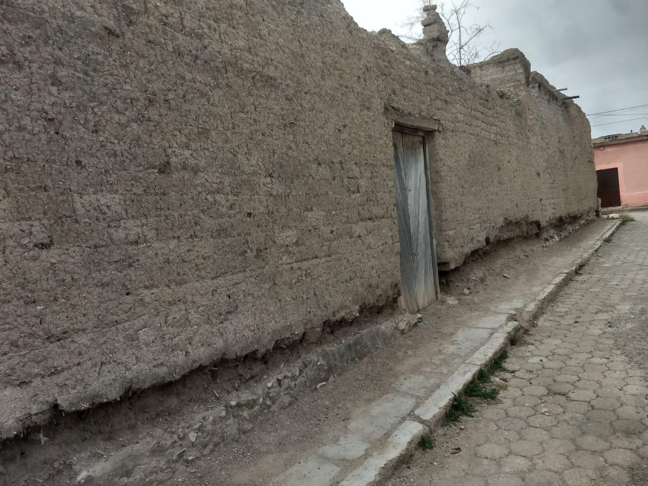
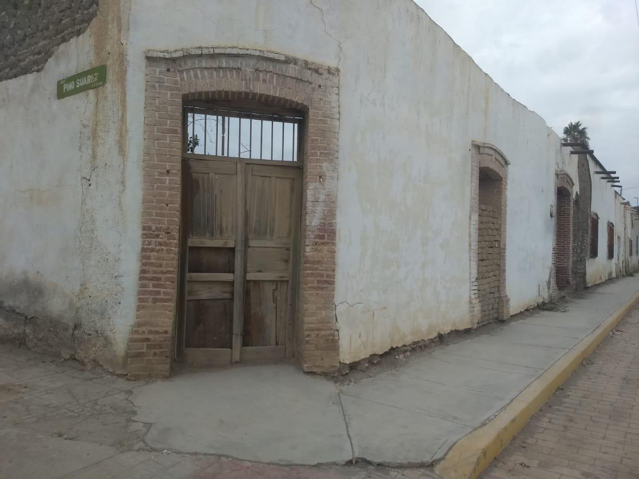
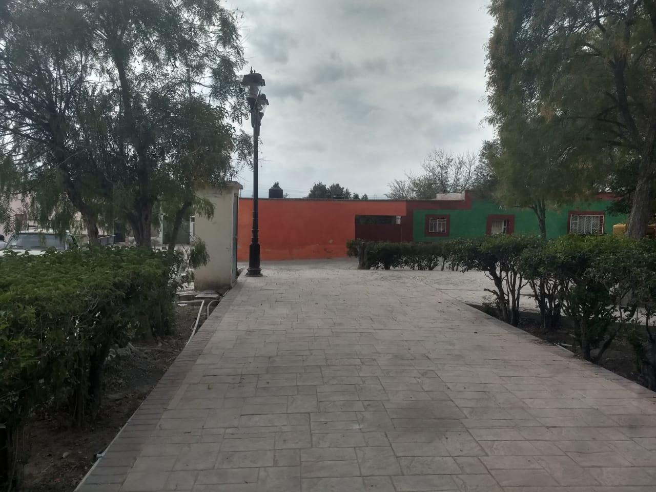
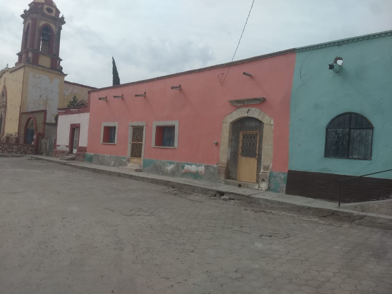
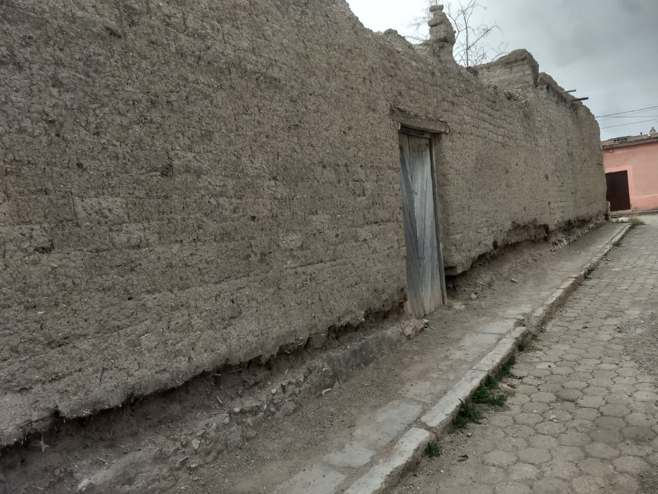
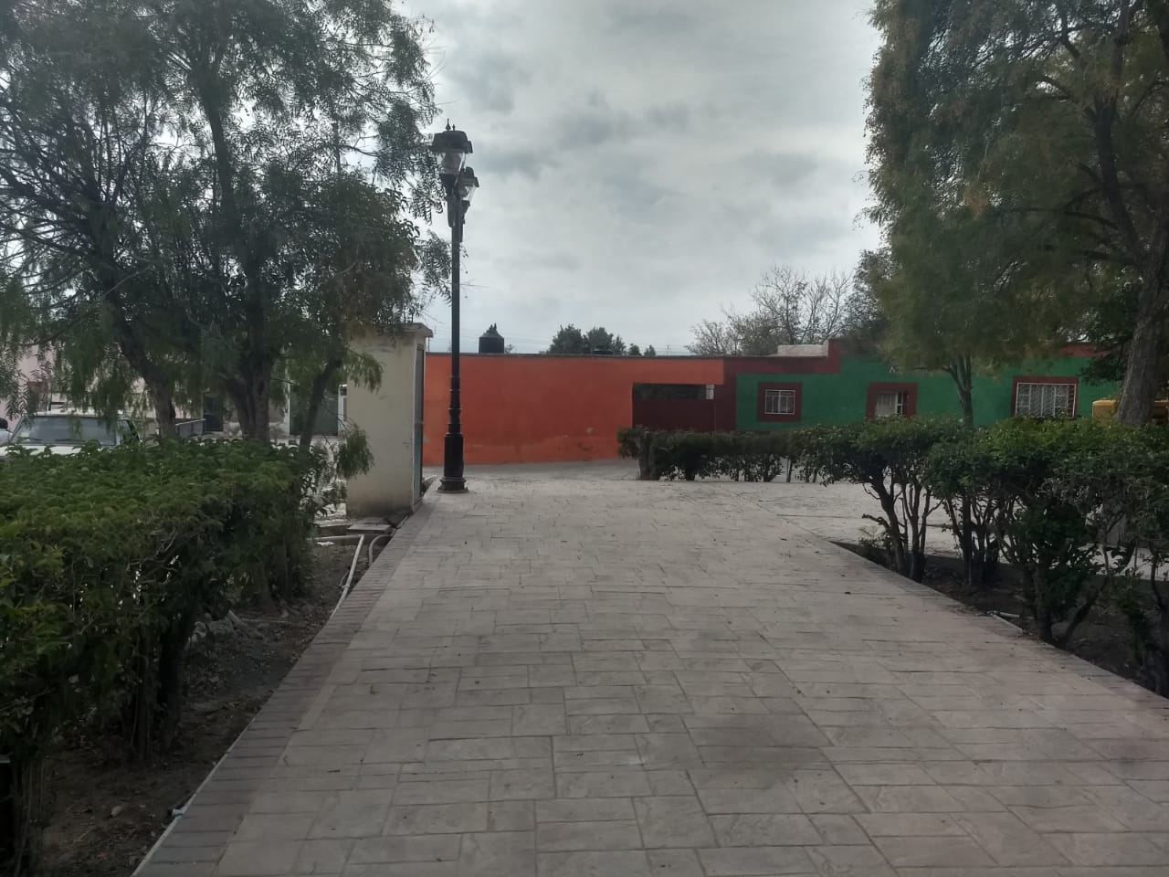
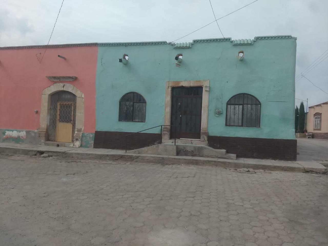
This town features an orthogonal layout where some sections of the irrigation ditch that supplied water to the local residents can still be seen, running along the main street. Unlike other towns along the route, the civil architecture of San Pedro del Gallo is characterized by its homogeneity, with most of its buildings being notable examples of traditional architecture.
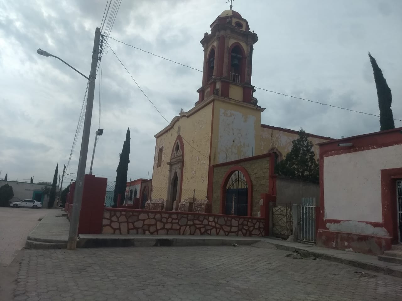
Facing the main square of the town is perhaps its finest example of religious architecture: the Temple of Saint Peter the Apostle, which, according to the inscription located on an arch at the entrance, was completed in 1783.