


La Ferrería
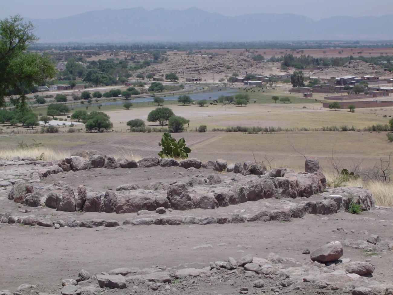
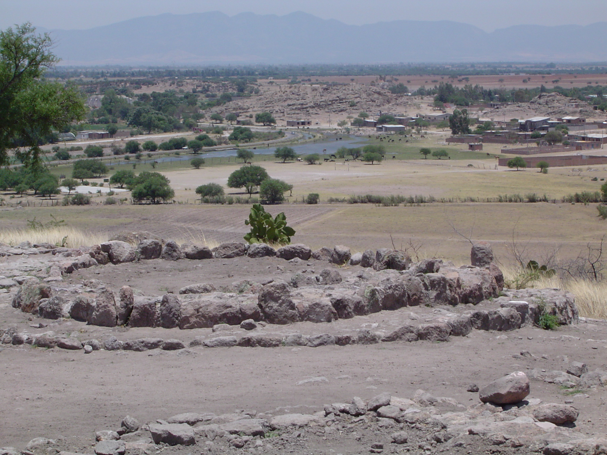
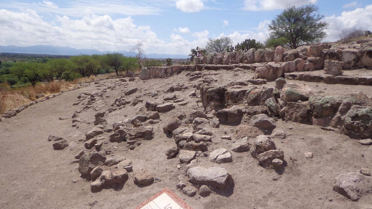
This was an important religious center as shown by the circular foundations of its temples, a pyramid with a sunken courtyard, ballcourts, altars and terraces, plus mural and cave paintings. Believed to have been the most populous and extensive site in the Guadiana Valley.
The archeological research carried out in Durango, mainly in the Guadiana valley, corresponds to the most closely studied area in the state to date. Its geographical location and the pre-Hispanic remains which have been left behind allow us to learn about the societies who used to live there.
The Chalchihuites culture developed in the valleys to the east of the Sierra Madre Occidental mountain range, in the present-day states of Durango, Zacatecas and the north of Jalisco, throughout a period from 200 to 1350 AD. Previously, there were other groups who lived in this area, named by various authors as the Loma San Gabriel culture.
The Chalchihuites culture has two branches: Súchil and Guadiana. The Súchil branch flourished in the present-day states of Zacatecas and the north of Jalisco, from the year 200 to 850. The most important settlement was Alta Vista. The Guadiana branch developed in the state of Durango, especially in the Guadiana valley, from 600 to 1350.
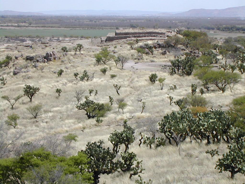
The La Ferrería site covers a large part of a small hill, and was initially referred to as the Cerro Ayala site by US anthropologist Alden Mason. This is the most important archeological site for the Chalchihuites culture, which at its maximum expansion reached as far as Zape, in the north of Durango state. A group lived here who survived essentially on the farming of corn, beans and pumpkin, and who extensively hunted, fished and foraged in order to supplement their diet.
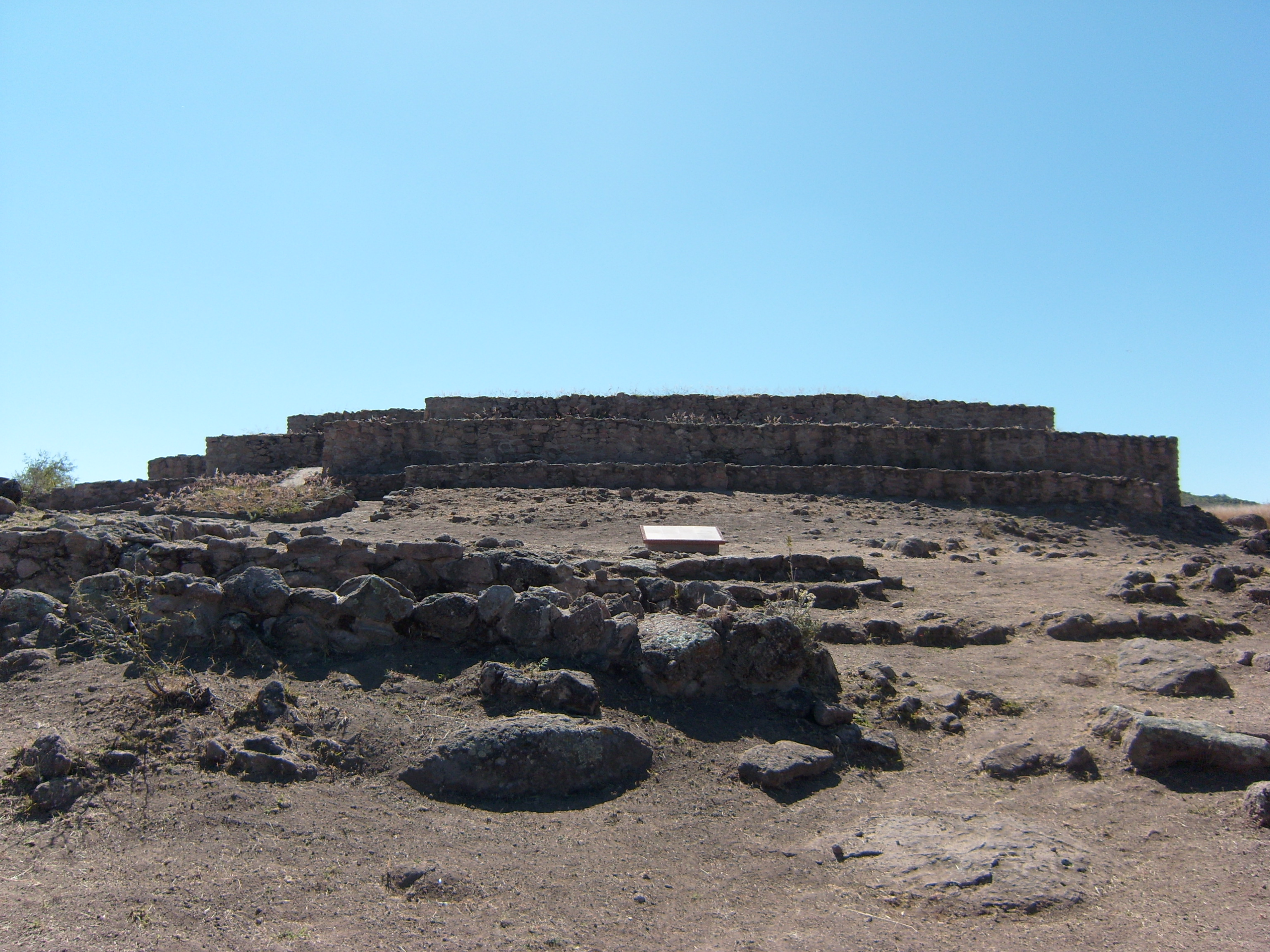
It was also the most important location in the region for observing the sky and noteworthy features of the landscape. We see evidence of this in the sunken courtyard in the upper part of the pyramid which was built to mark the passage of time through observing the sun on the horizon of the Sierra de Registro mountain range at sunrise, as well as to establish solstices and equinoxes. The buildings from the Chalchihuites era were also aligned in accordance with the stars.
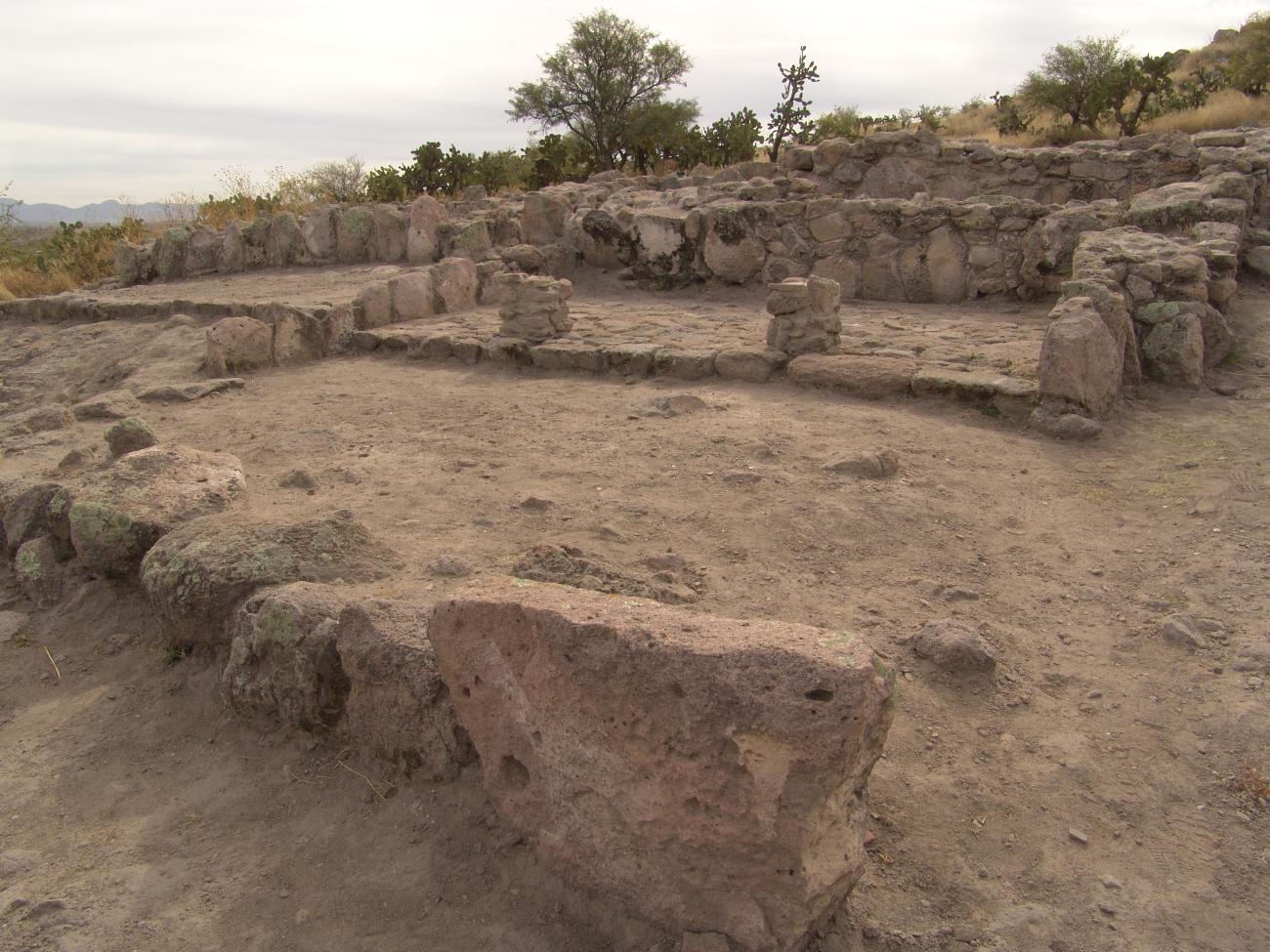
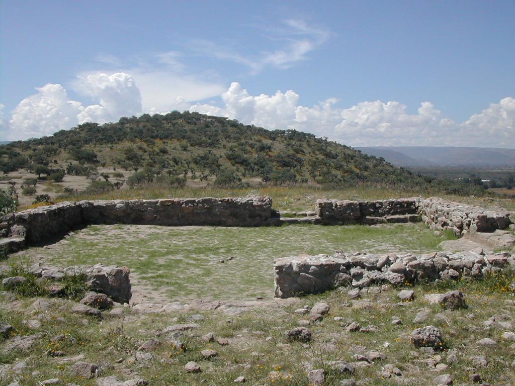
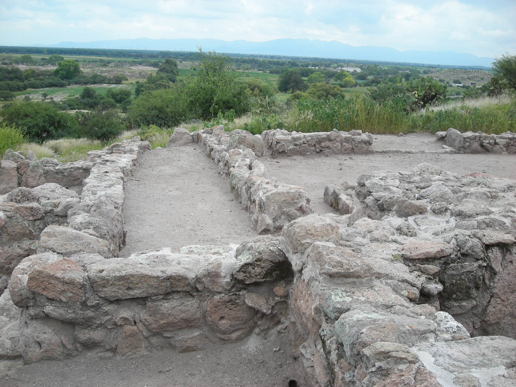
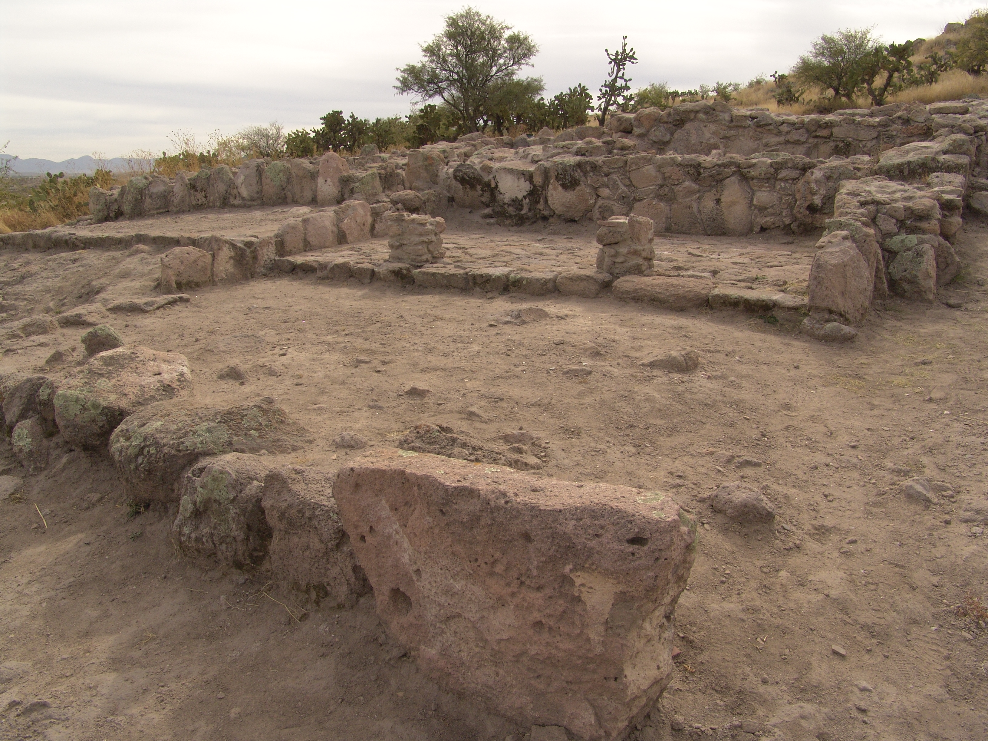
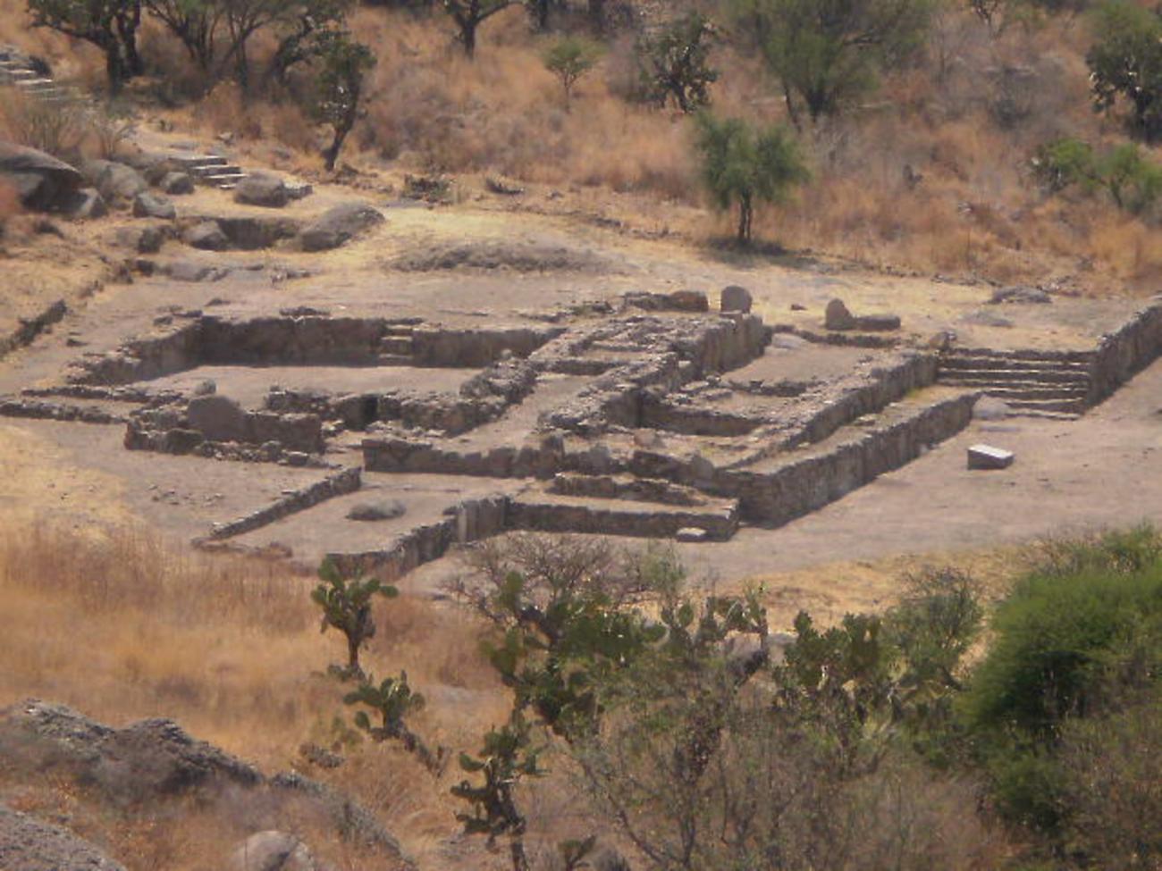
La Ferrería was a convergence point for the villages around the valley and contains the Casa Grande (“Big House”) and Casa de los Dirigentes (“House of the Leaders”) complexes, which stand out as those with the largest rooms found to date in the Guadiana valley. The former (600-1350), located on the hillside, is made up of rooms organized alongside a sunken courtyard which is in the middle of the complex. It is open on the eastern side and has a rectangular altar. It also has a drainage ditch, two water channels, staircases, platforms, a portico with columns and a possible temazcal (sweat lodge). Seven graves were discovered here. Three of them were mortuary bundles found in the corridor and the others were infilled deposits.
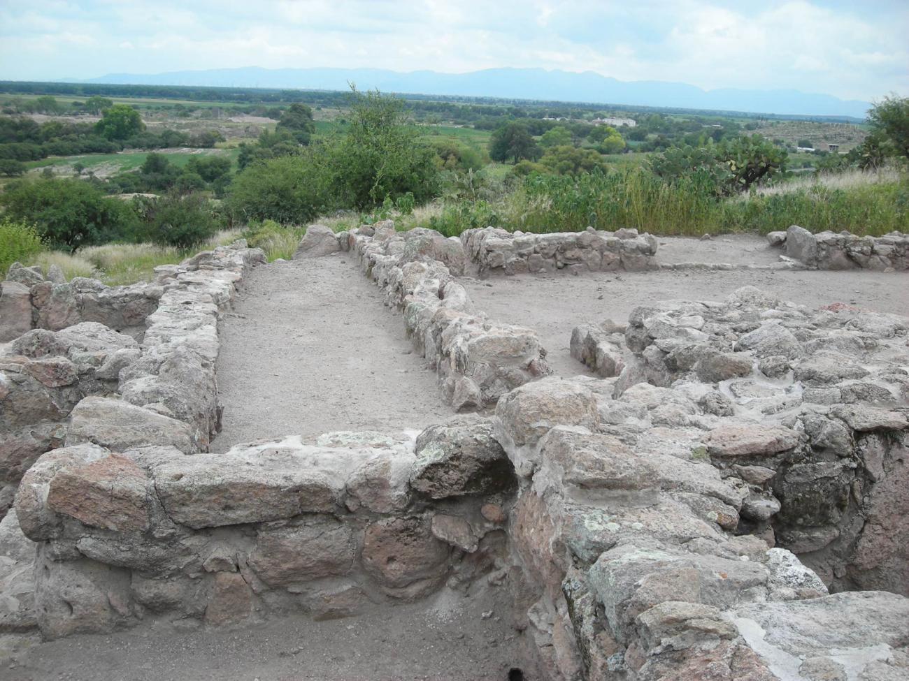
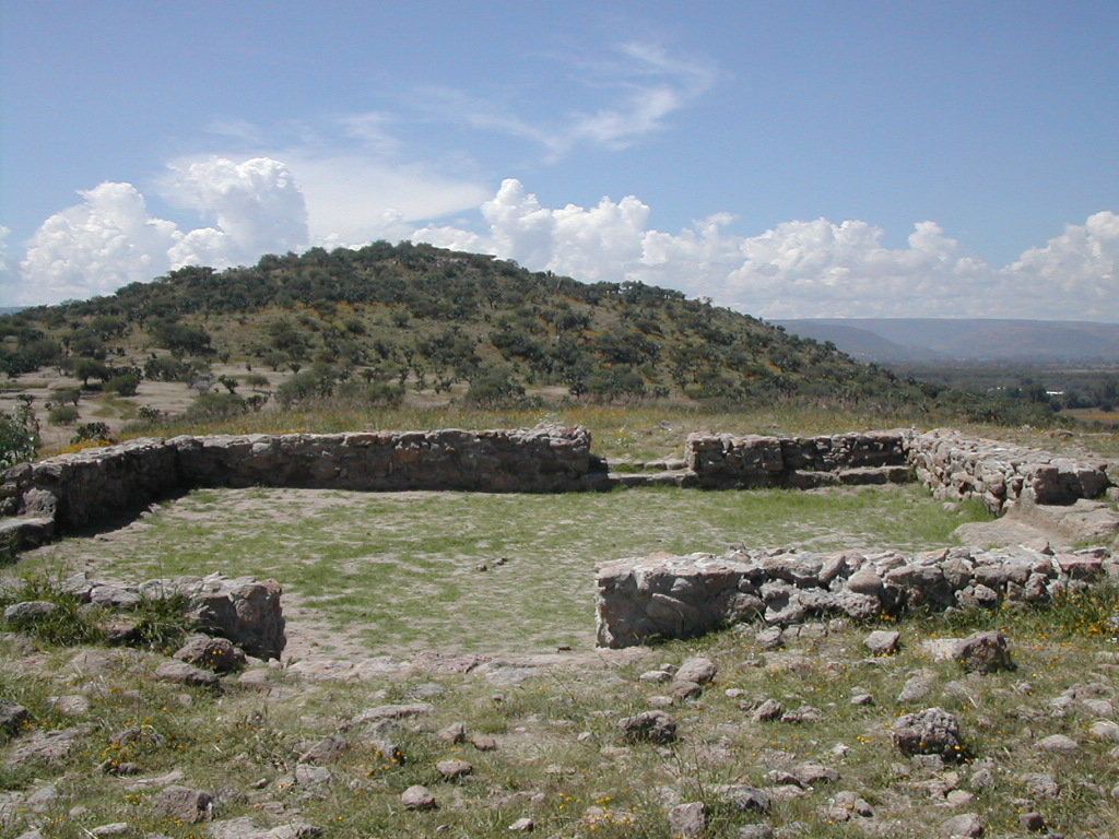
The House of the Leaders structure (600-1350), found to the north and at the foot of the mountain, is a complex built with artificially leveled spaces, where there is another sunken courtyard carved into the bedrock and surrounded by a series of rooms, possibly used as living quarters. During the excavations here, three primary and four secondary burials were found inside the rooms, as well as an offering of a three-legged Chalchihuite pot and another from Aztatlán. This shows the relationship between the Durango High Plateau and the Pacific coast.

- Dirección del Centro INAHJorge Antonio Reyes Valdezjorge_reyes@inah.gob.mx+52 (618) 128 4413
La Ferrería
One of the two areas that make up this site has an extension of 22 hectares and there are 19 structures, 5 petroglyphs and fixed mortars that are open to the public.
One of the two areas that make up this site has an extension of 22 hectares and there are 19 structures, 5 petroglyphs and fixed mortars that are open to the public. Some of the structures that can be observed in this area are the House of the Leaders, the Big House, the ball game, the pyramid and the Set of the Patios.
House of the Leaders: This set, as well as the circular structures, were built during the splendor of La Ferrería and correspond to the phase called Las Joyas (850-1000). After that period the site lost importance and, apparently, in the year 1350 it was completely abandoned.
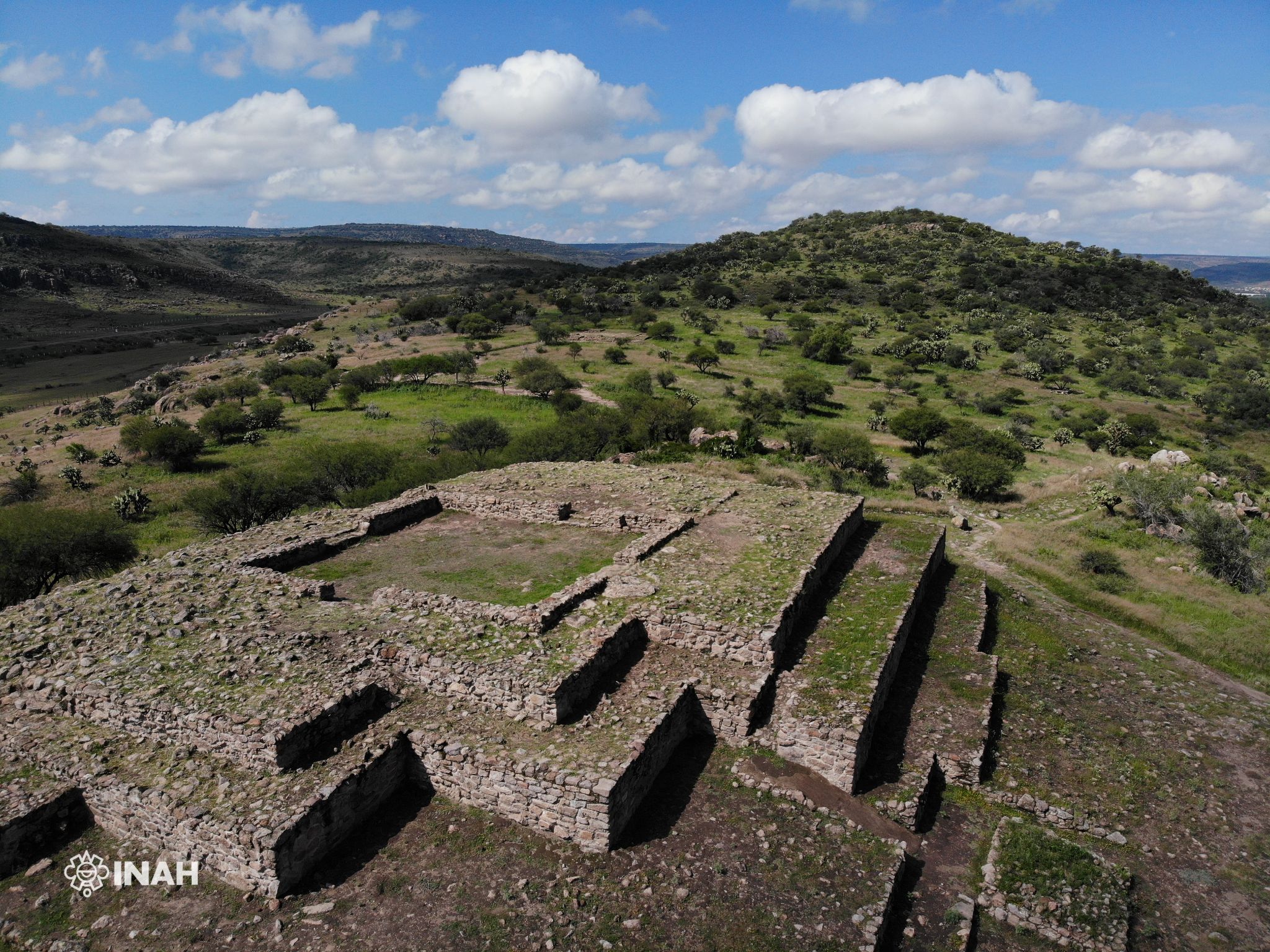
Casa Grande: It is characterized by a series of adjoining rooms, corridors, platforms, stairways, porticoes and a sunken courtyard with an altar. Walls of more than 50 cm wide have been found here, which allows us to suppose that they could have supported more than one level.
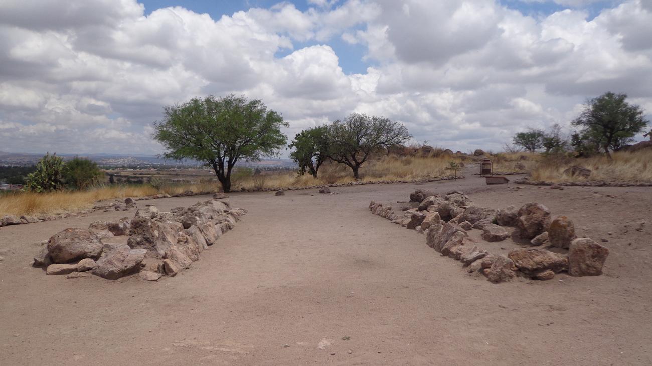
Ball game: It is a construction formed by two parallel walls, whose internal part presented an inclination to make possible the rebound of the ball. During the excavations, it was found that the floor of the court was carefully installed and prepared for the game.
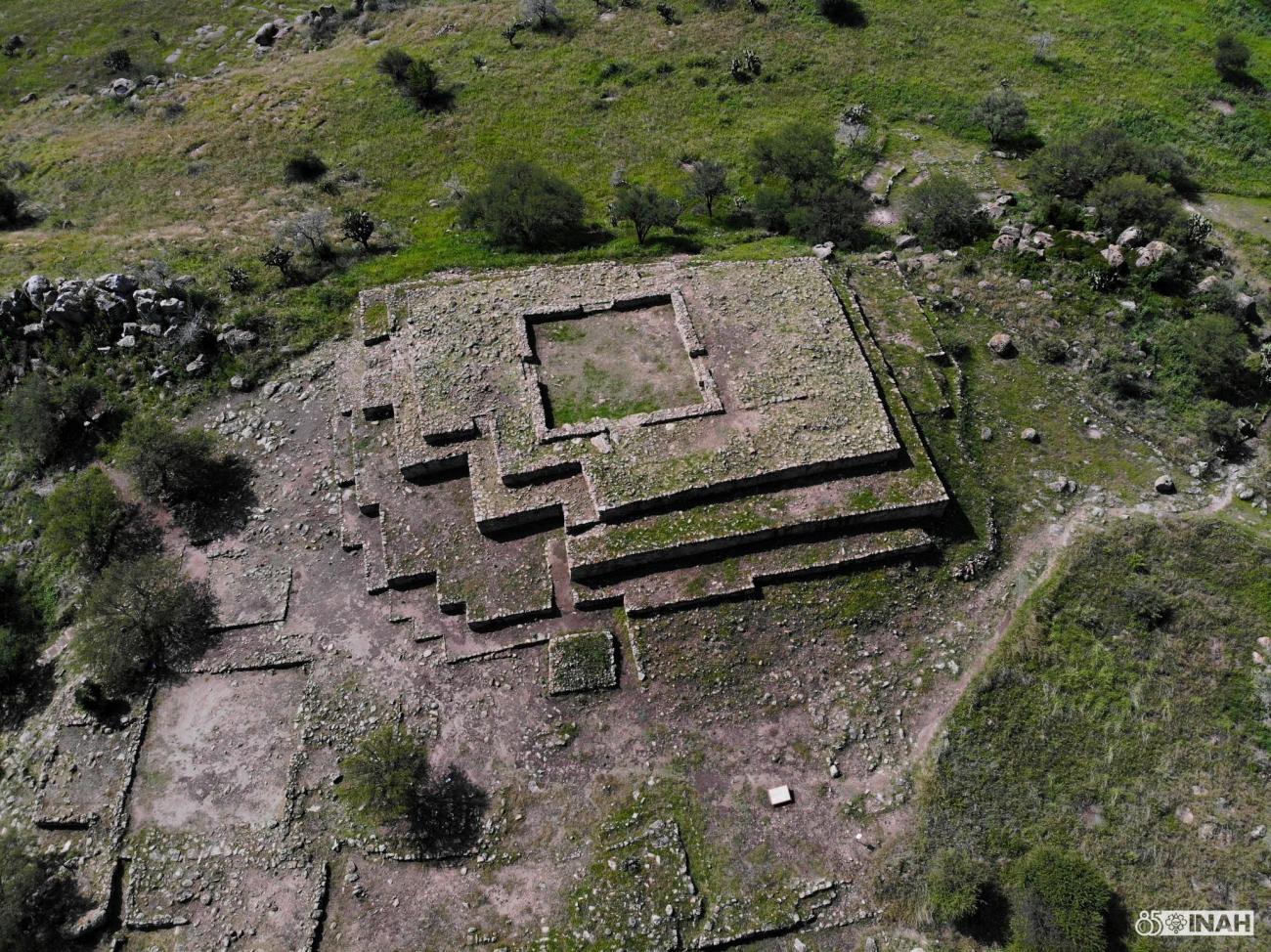
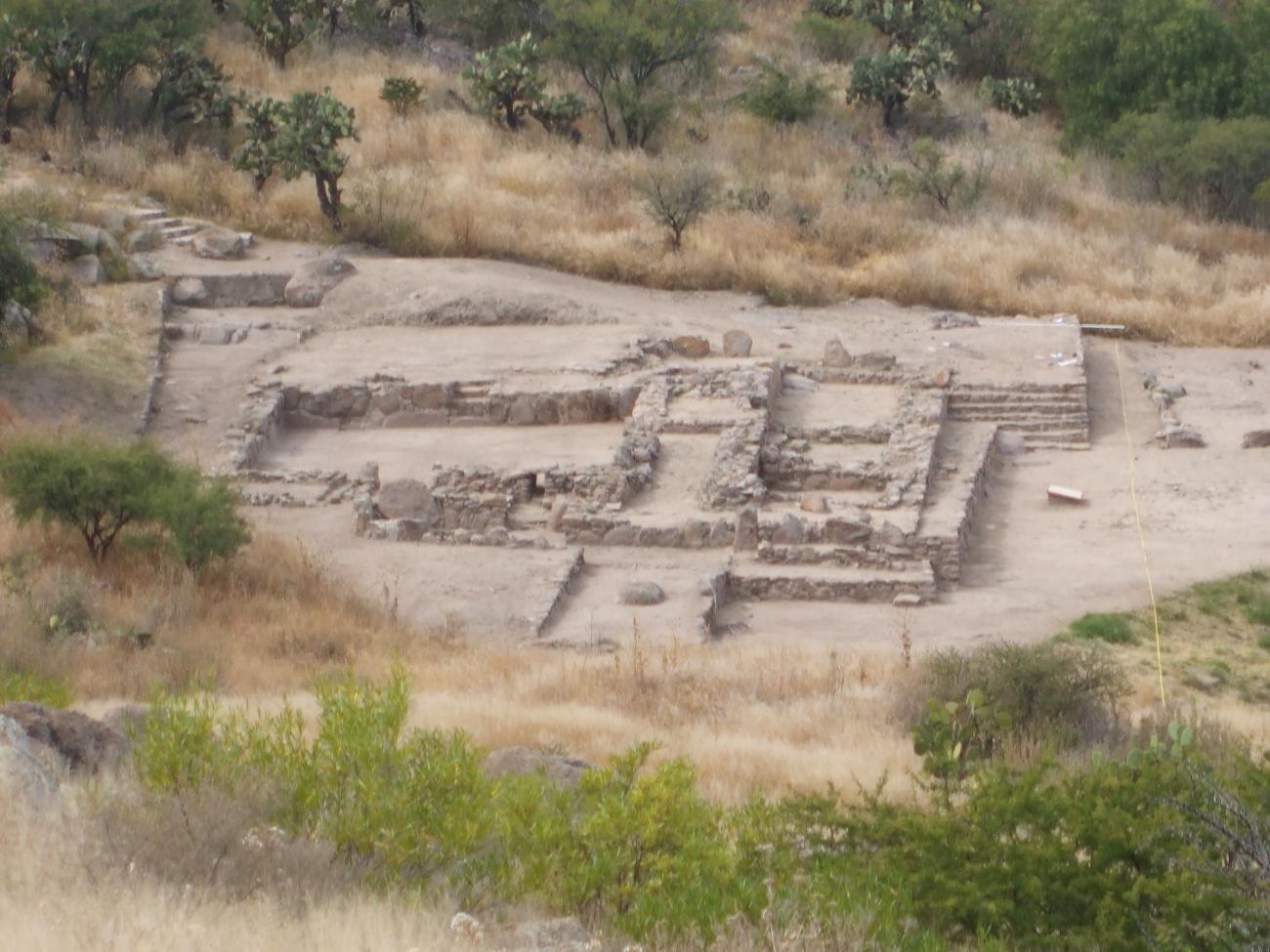
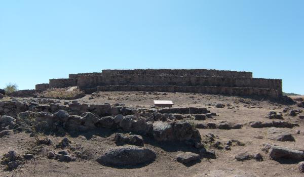
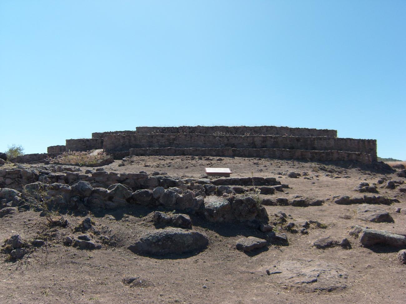
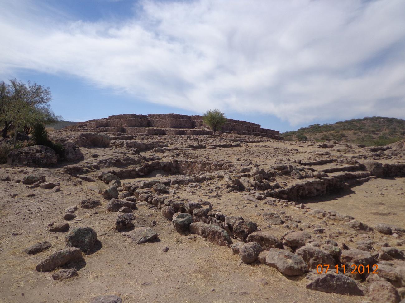
Pyramid and the Courtyard Ensemble: The Pyramid is a stepped building whose northeast corner forms a zigzag. The main staircase is on the east side and the ramps on the north flank. At the top is a small sunken courtyard, whose doors and corners mark the sunrise points during the equinoxes and solstices. At the foot of the pyramid there are multiple sunken courtyards of some rooms, a cistern and several channels that served to evacuate rainwater. The inhabitants of La Ferrería must have congregated in these courtyards during the rituals that took place in the pyramid.