

Querétaro
Categoria
Estado
Parte de
México
Lugares relacionados

Nave principal, vista hacia el altar mayor
Fotografías

Iglesia de San Juan de Dios, Vista de conjunto
Fotografías

Nave principal, vista hacia el altar mayor
Fotografías

Altares laterales y altar mayor
Fotografías

Bóveda, vista hacia el altar mayor
Fotografías

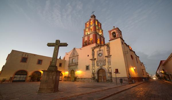
Iglesia del Sacro Monte, fachada principal
Fotografías

Iglesia del Sacro Monte, vista general
Fotografías

Naves y bóveda
Fotografías

Nave central, vista hacia el altar mayor
Fotografías


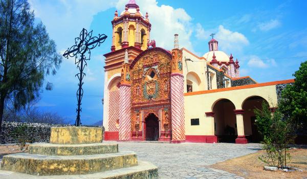
Iglesia del Sagrado Corazón, Fachada
Fotografías

Iglesia del Sagrado Corazón, vista de conjunto
Fotografías

Altar mayor
Fotografías

Vista hacia el coro
Fotografías


Torres
Fotografías
