Skip to main content
Menu
Idioma
Español
English
Menu principal
Museums
Archaeological sites
Archaeological sites sub-navigation
Archaeological windows
Historical Monument Areas
World cultural heritage
World cultural heritage sub-navigation
Intangible World Heritage
Routes or Paths
Rock art manifestations
Cultural regions
Descargar Imagen
Lugares relacionados
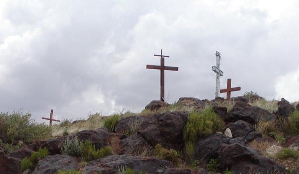
El Cerro de Tomé
Route element
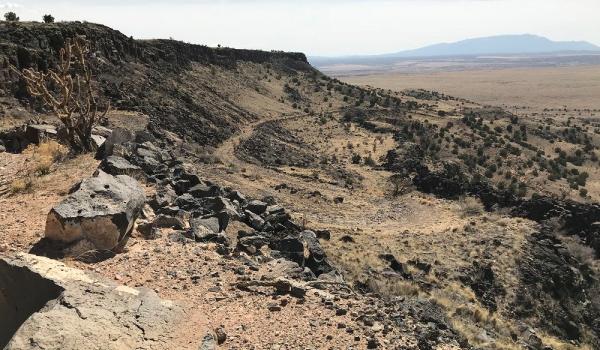
La Bajada Mesa
Route element
Paso de los Tejas
Route element
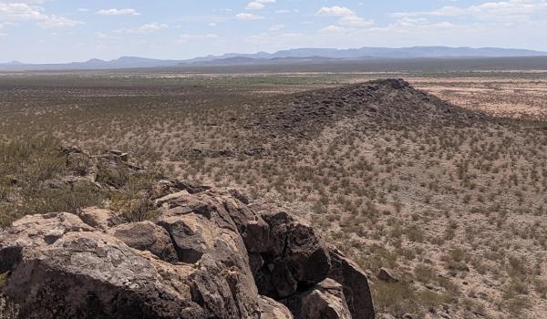
Point of Rocks
Route element
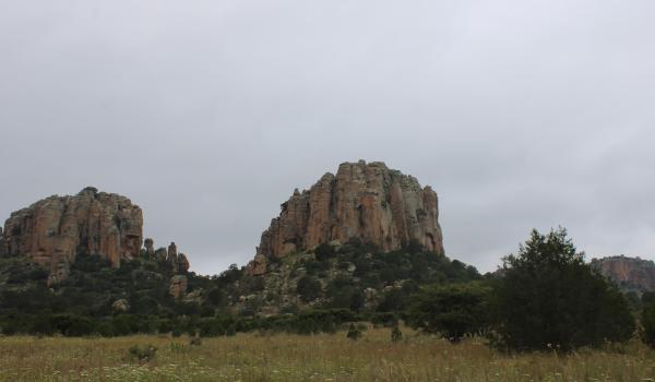
Sierra de Órganos
Route element
Yost Draw
Route element
Paisaje natural