


Distrito Histórico de Mesquite
This district is a centuries-old neighborhood at the cultural core of one of southern New Mexico’s oldest communities. As a drive or walk through the district reveals, the area’s eclectic collection of homes and small businesses reflect the pioneering spirits of those who set down roots along the southerly path of El Camino Real de Tierra Adentro, then known as the Chihuahua Trail, after the Mexican-American War.
Las Cruces was founded after 1848, when residents from the town of Doña Ana ventured to establish a tract of arable land in the Mesilla Valley. Among Mexicans, Americans, and descendants of the Pueblo Indians, 112 people drew lots for the lands previously occupied by the Manso Indians and built a traditional community.
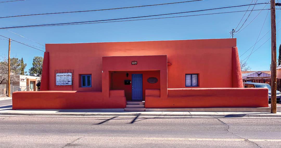
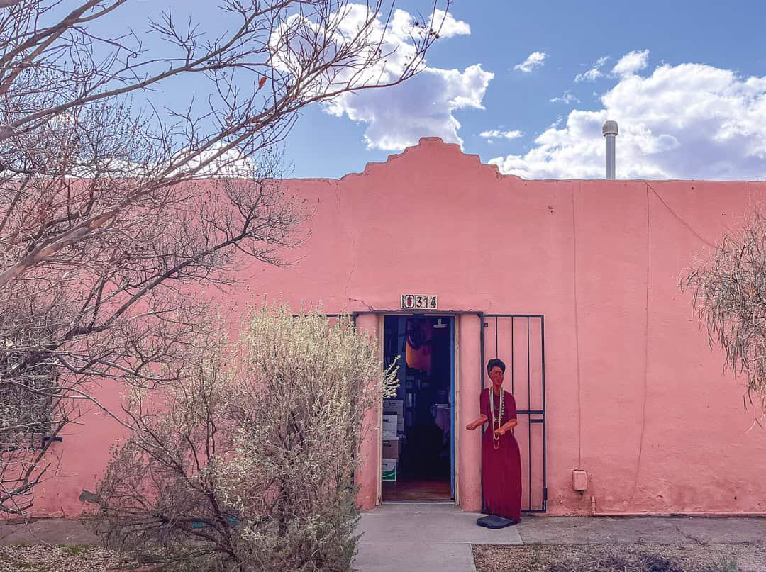
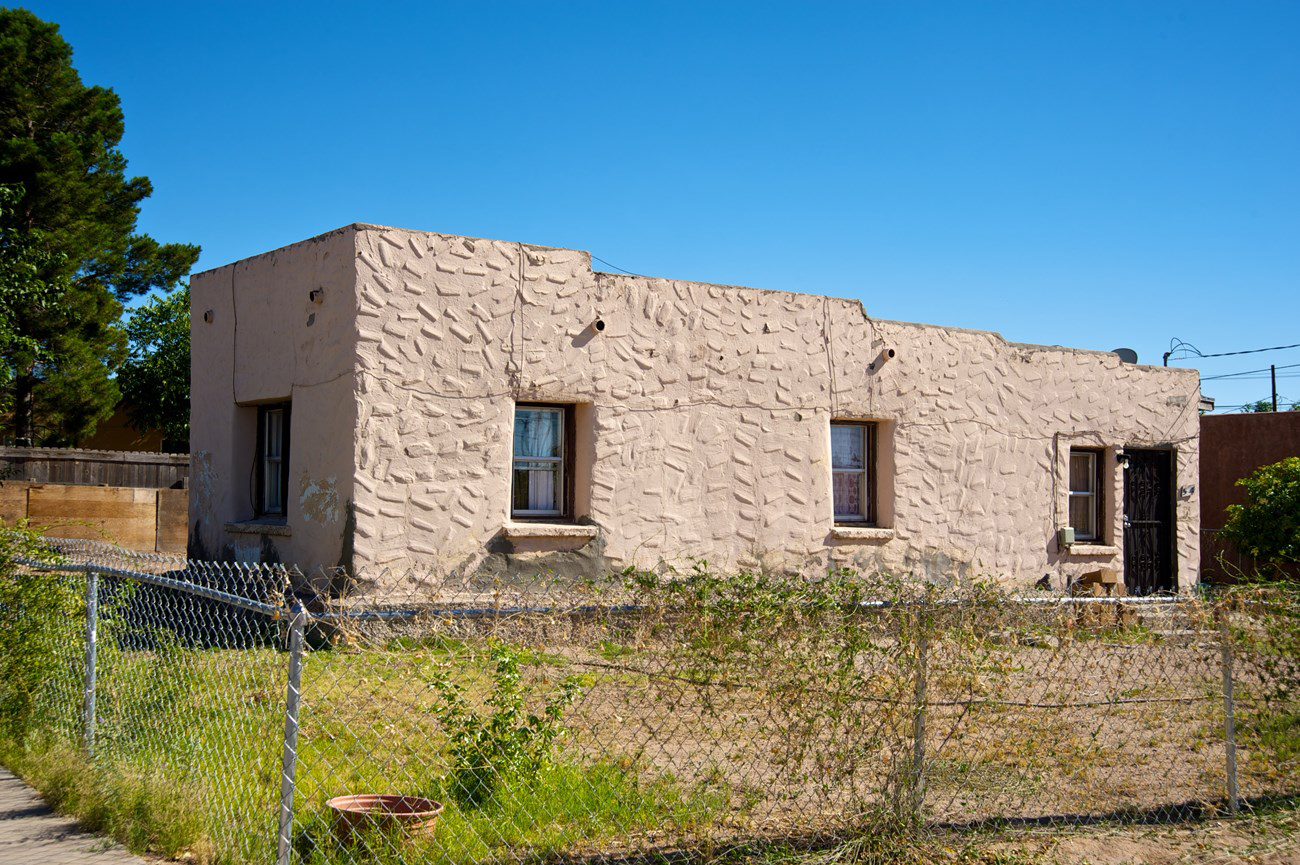
Most of the houses were built of adobe, were small and low, with simple floor plans and flat or gabled roofs. Their contiguous facades formed protective walls. Over time, and following the construction of Fort Fillmore, the houses began to reflect Anglo influences, such as higher gables, various types of parapets, brick siding, pedimented lintels, chamfered columns, and friezes.
Commerce, agriculture, and mining in the Organ Mountains contributed to the slow development of Las Cruces, which became a hub for cowboys, miners, and soldiers, with saloons and brothels giving the district a reputation for being noisy and dangerous.
With the arrival of the railroad, land was donated on the western edge of the city for a train depot and track. During this period, adobe and brick buildings were constructed that enhanced the urban landscape and reflected the originality of the residents.
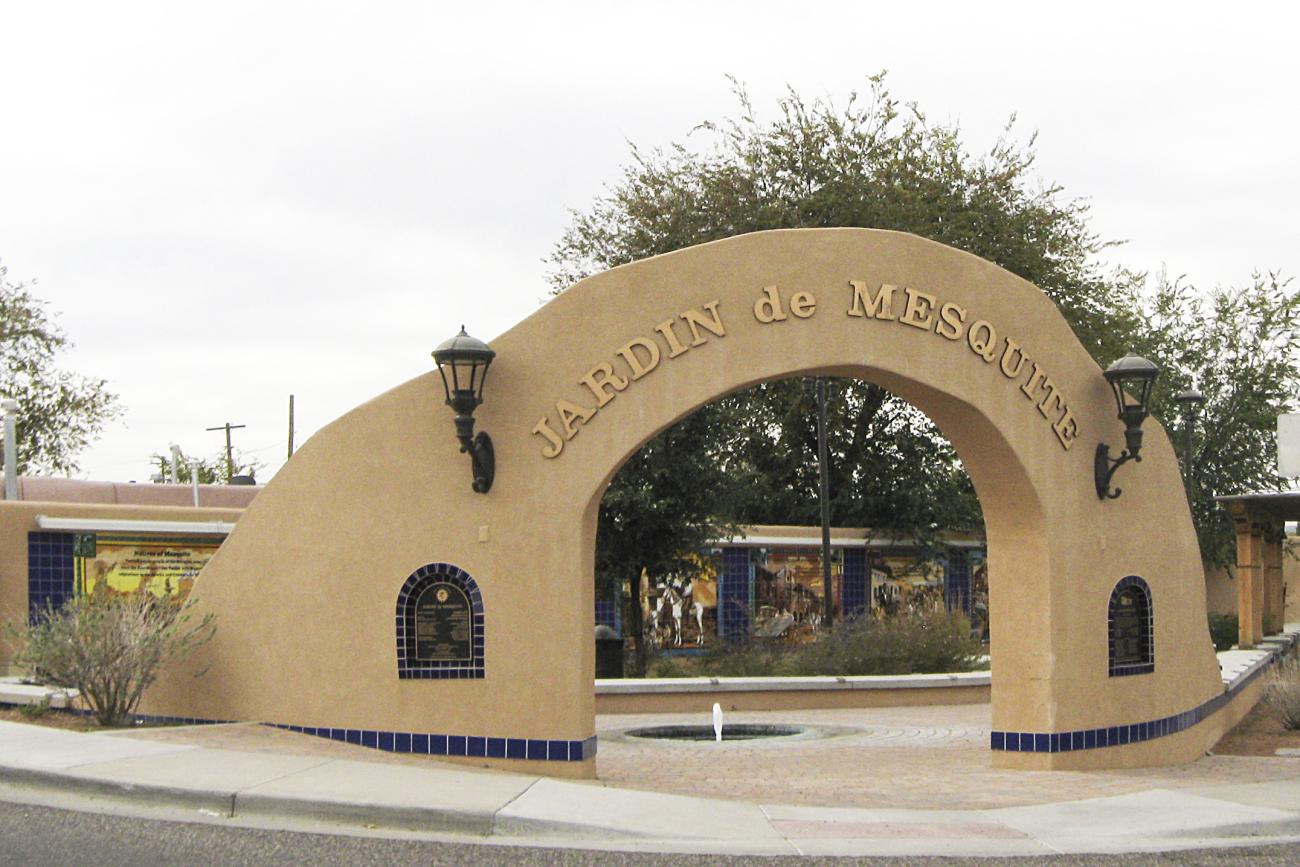
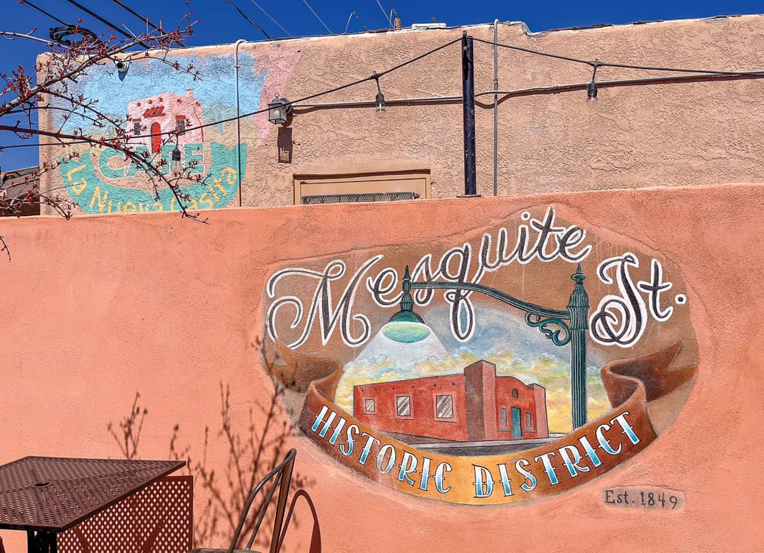
Today, the Mesquite Historic District extends along Campo, San Pedro, Tornillo, and Mesquite Streets, between Chestnut and Colorado Avenues, covering only half of its original size. Highlights include the cemetery, Klein Park, its gardens, cafés, and the Border Book Festival house, showcasing a colorful mix of adobe architecture and vernacular styles.