


Cosalá
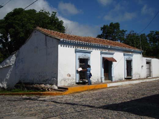
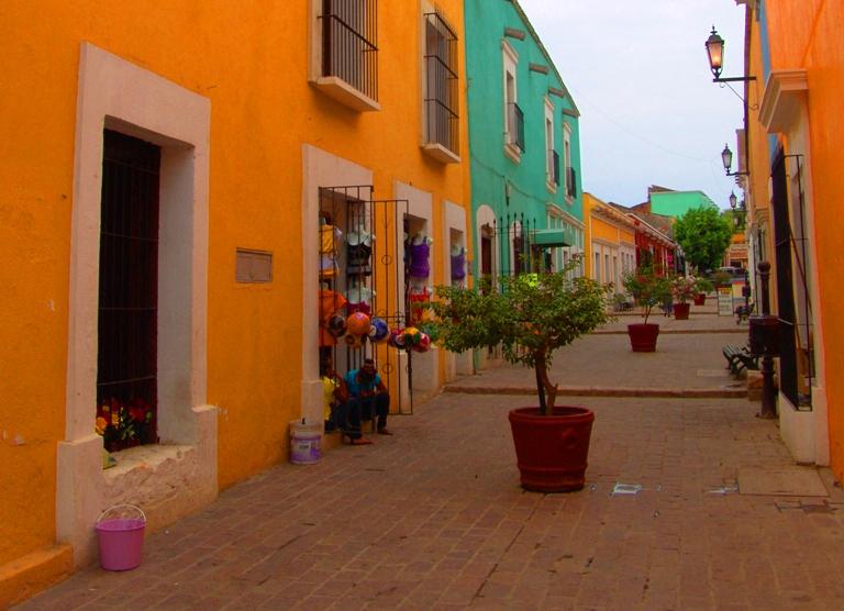
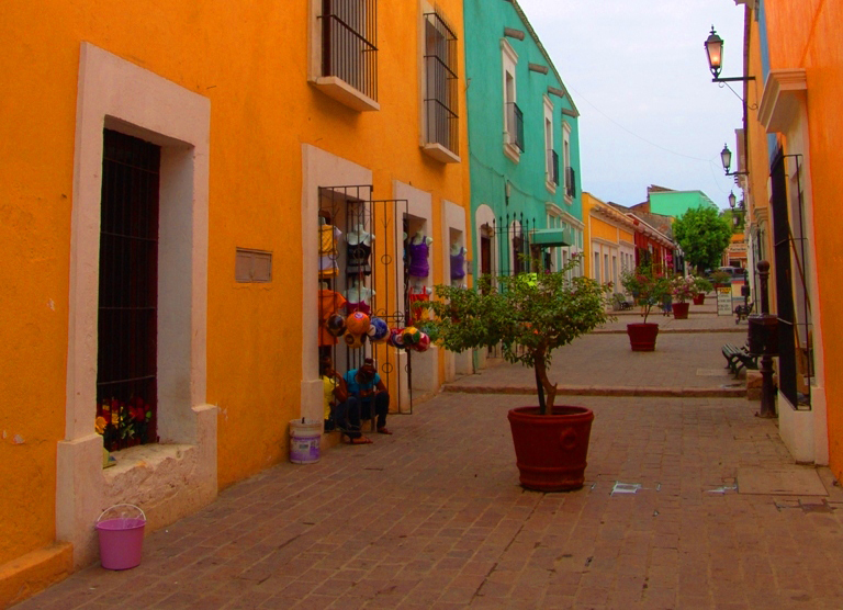
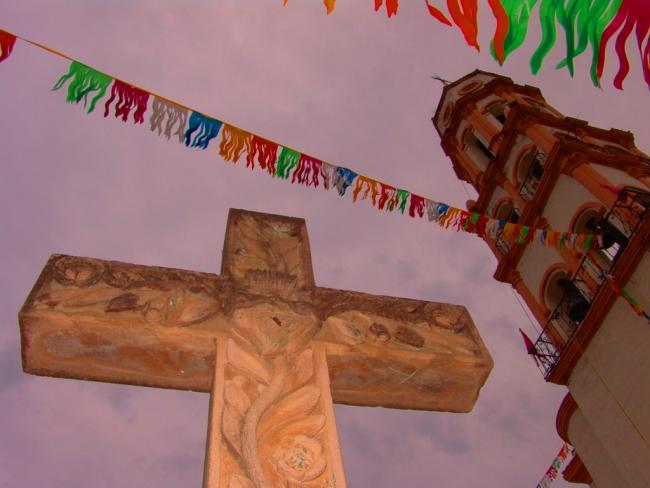
Winding streets and adobe buildings characterize what was once one of the most important mining towns in the north of New Spain: Cosalá. Its ancient churches form a striking presence in the natural mountainous landscape.
50_EN_657_ZMH_Sinaloa_Cosala.wav
Located 160 kilometers from Culiacán, in the pre-Hispanic period Cosalá was inhabited mainly by Tepehuanes, Acaxees and Xiximies. In 1531, the Spaniards began to explore this territory, though it wasn’t until 1563 that the Spanish town of Cosalá was founded, once they recognized the mineral wealth of the mountainous region, giving it as a result the name Real de Minas de Nuestra Señora de Mil Vírgenes de Cosalá.
By 1810, Cosalá was one of the richest regions of the northwestern part of the country, with 50 silver and gold mines. In a letter dated 1811, Miguel Hidalgo y Costilla ordered Colonel González Hermosillo to take Cosalá, but he failed to occupy the plaza and was defeated in combat in San Ignacio. In the early 20th century there was another phase of great mining El Mineral de Nuestra Señora.
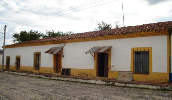
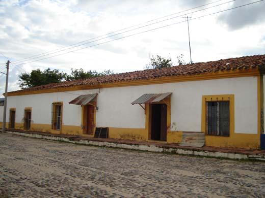
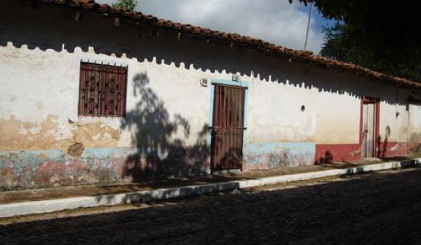
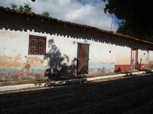
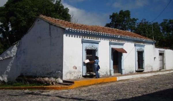
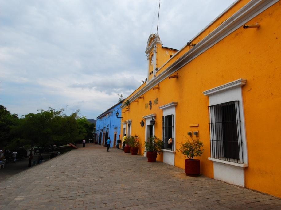
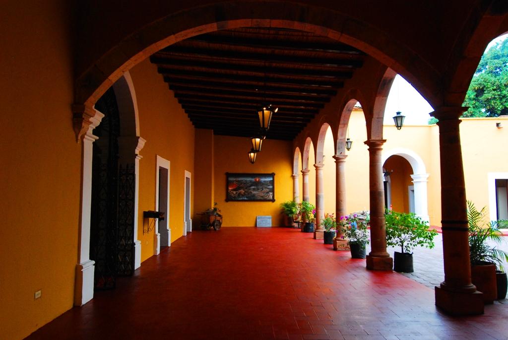
The Zone of Historical Monuments declared in Cosalá in the year 2000 covers 0.9412 km2 and includes 73 city blocks. The significant buildings in this zone include the churches of Santa Úrsula and Guadalupe; there are also civil constructions dating from the 18th and 19th centuries. The buildings are aligned with the street and comprise a central courtyard surrounded by porticos formed by arches and columns, and a construction system based on adobe walls and a timber structure that supports pitched tiled roofs.
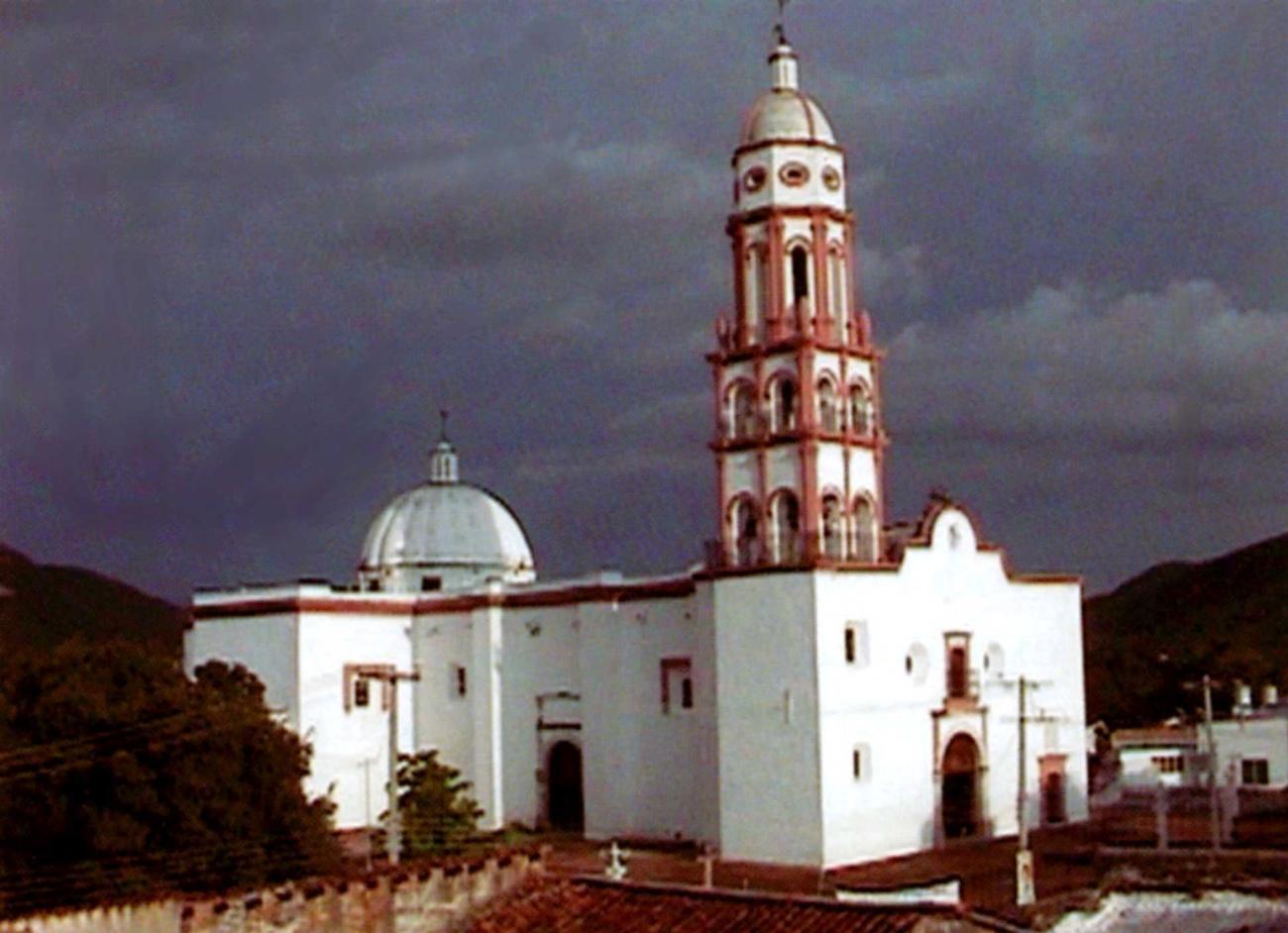
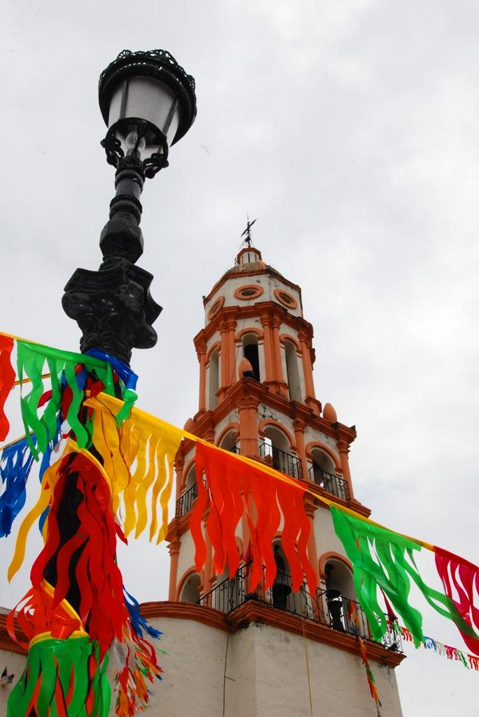
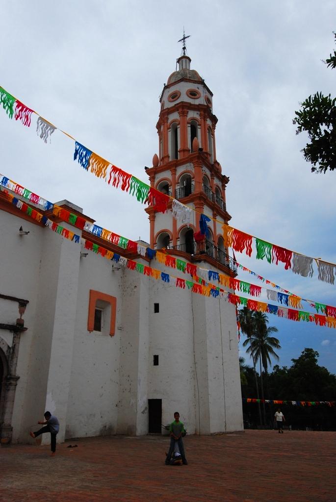
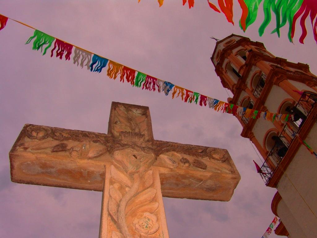
The Capilla de Guadalupe chapel, previously known as the Church of San Francisco Javier, is the oldest in the town and was erected by Franciscan monks; the construction employed adobe except for the foundations and corners, built from cantera stone. The Church of Santa Úrsula, patron saint of the town, was built in 1730 by the Jesuits. The walls are of river stone and it has a Neoclassical façade with a sundial above the main entrance door.
The current street plan of Cosalá dates from the 16th century, and is adapted to the irregular local topography, while centered around the plaza central and church of Santa Úrsula. The urban profile is one of single-story dwellings from which the outline of the religious buildings stands out, the whole merging with the natural landscape of Valle de Cosalá.
Cosalá was designated a Pueblo Mágico in 2005.

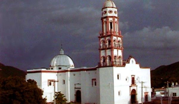
Templo de Santa Úrsula
This temple was built around 1776. The main altar is made of neoclassical-style quarry stone.