


Mexcaltitán de Uribe
Historical Monuments Zone
Abstract
Located on the northwest coast of the state of Nayarit, this is a legendary island, having been considered a candidate for the mythical Aztlán. When visited in the rainy season, its streets become rivers that can only be crossed by panga boat, which has given it the nickname of “the Mexican Venice.”
Its name comes from the Nahuatl “mexcalli,” “mezcal” and “titlán,” “wealth, abundance.” It is part of the municipality of Santiago Ixcuintla, in the state of Nayarit. The settlement occupies the island of the same name.
In the 1960s, some researchers considered this island to be the mythical Aztlán, the site from which the Mexica left in search of the place to found the city of Tenochtitlan. The theory was disregarded years later.
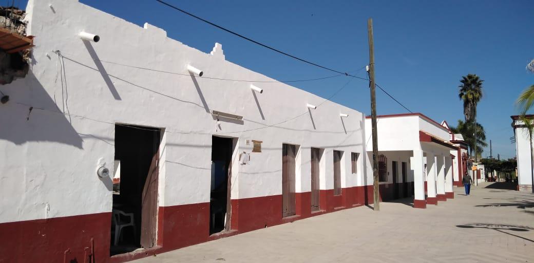
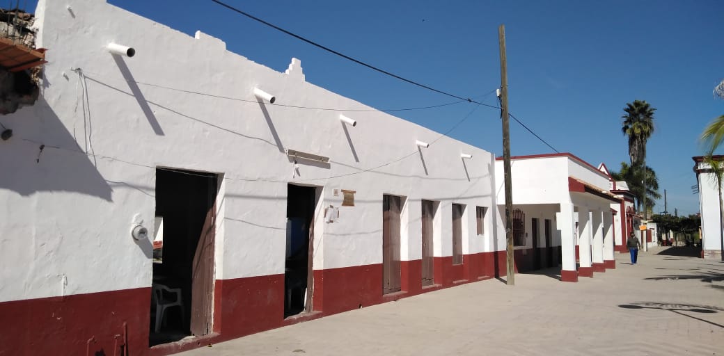
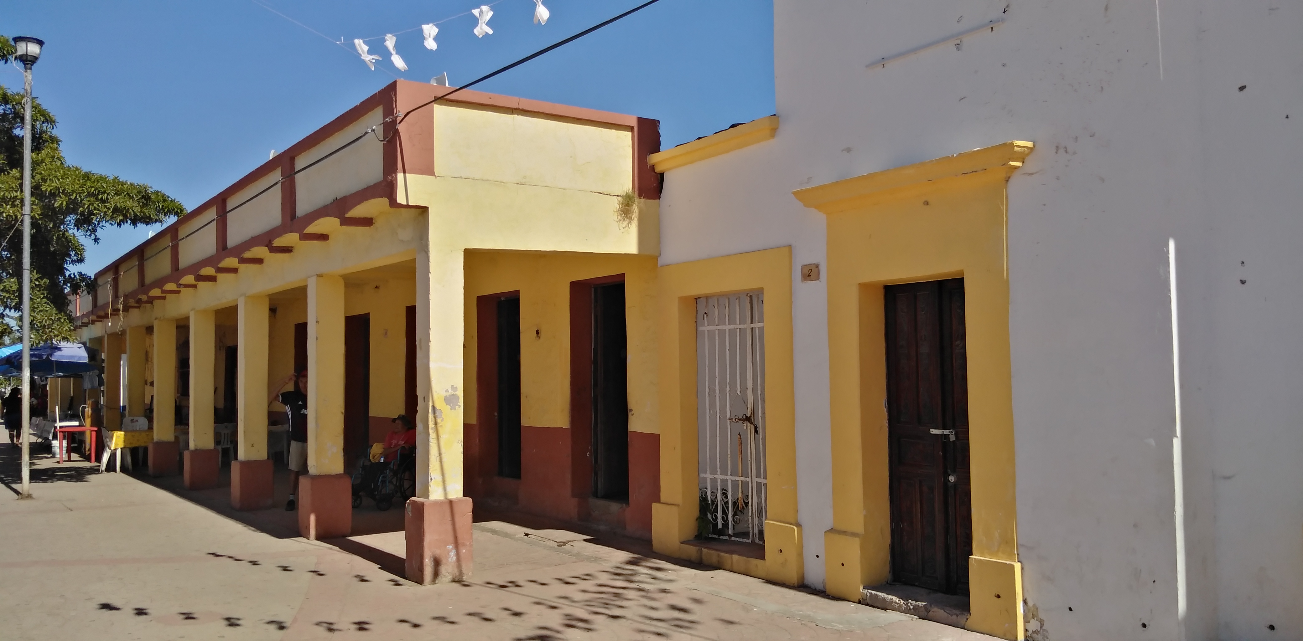
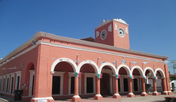
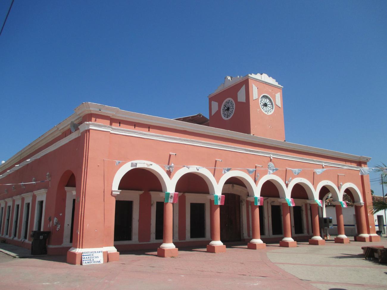
The village is defined by its characteristic houses with pitched tiled roofs. In the rainy season it is usually flooded and the streets are crossed in pangas, which is why it has become known as “the Mexican Venice.” The most representative buildings date back to the 19th and 20th centuries.
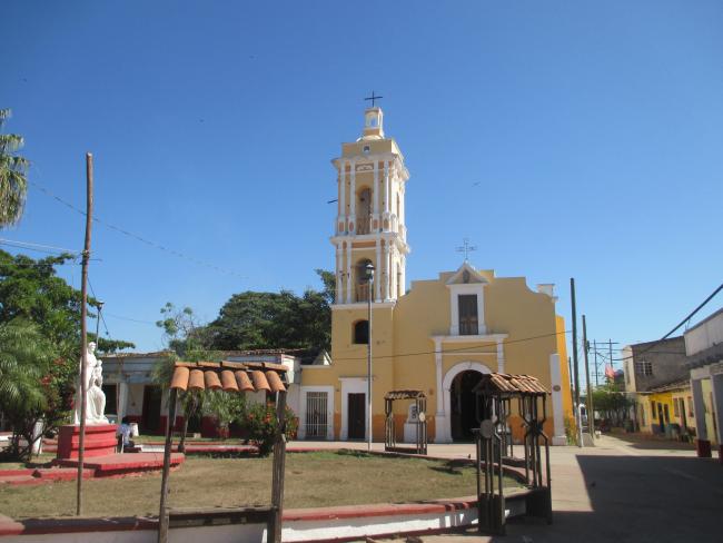
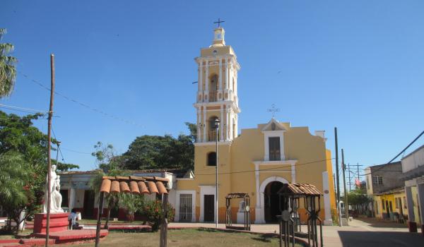
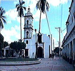
The patron saints of the place are San Pedro and San Pablo. At the end of June they are celebrated and regattas are held with boats adorned with the images of the saints, with the belief of ensuring a successful fishing season. It is a community of farmers and fishermen and has been a territorial center since the 17th century, as a center for the distribution of goods for the peoples of the region.
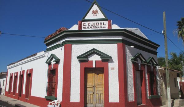
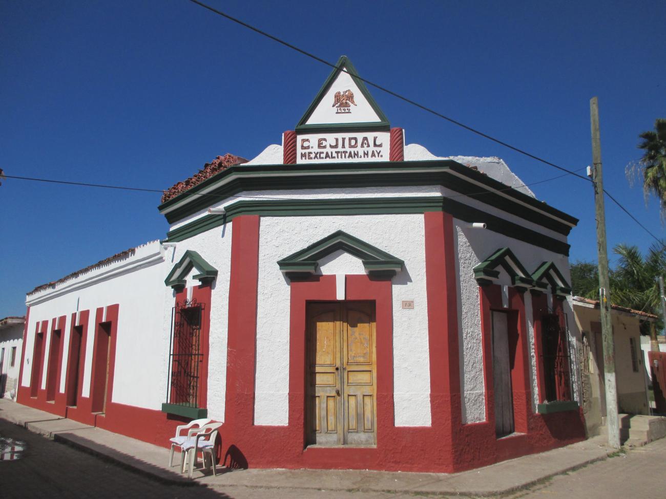
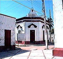
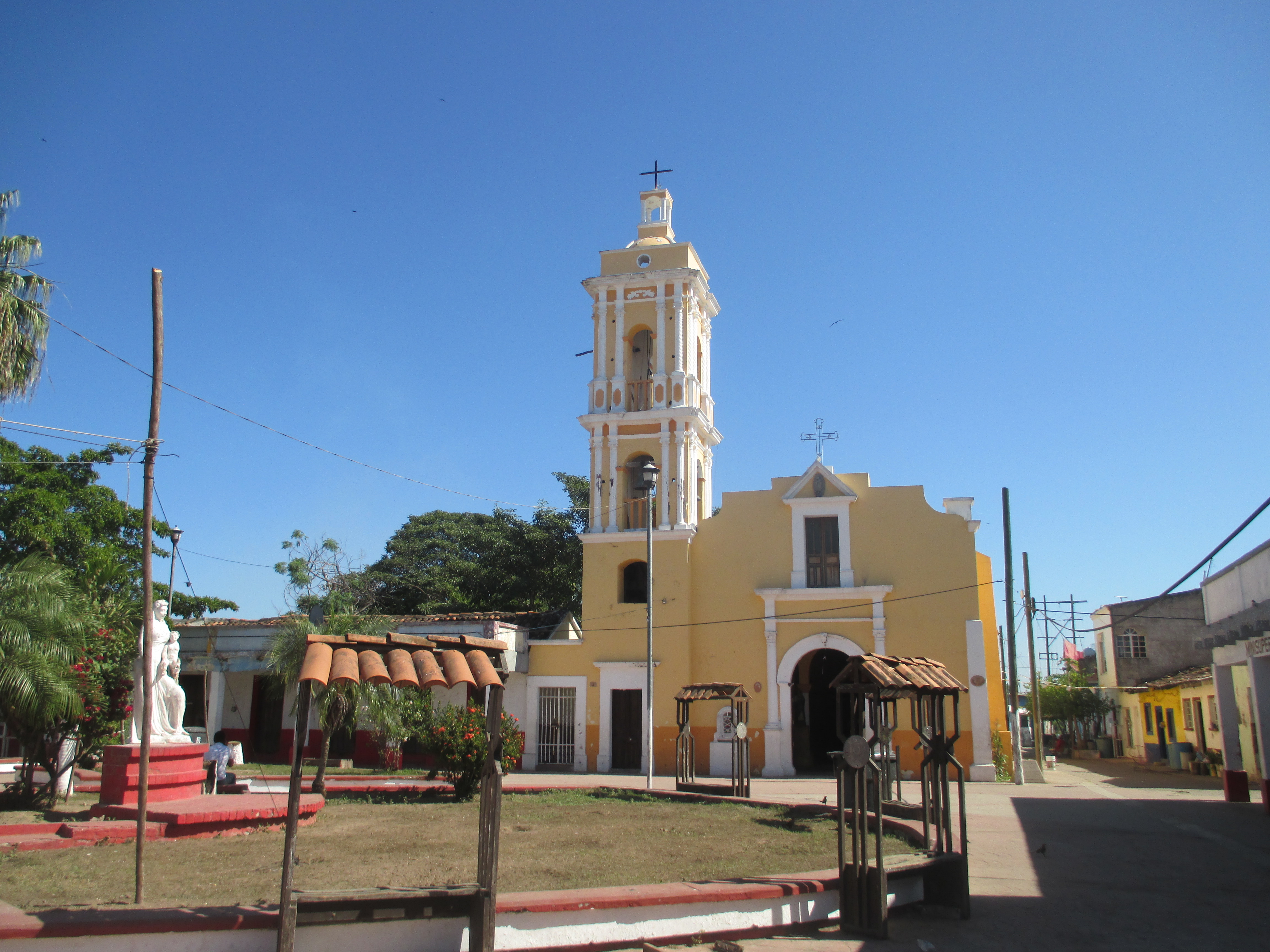
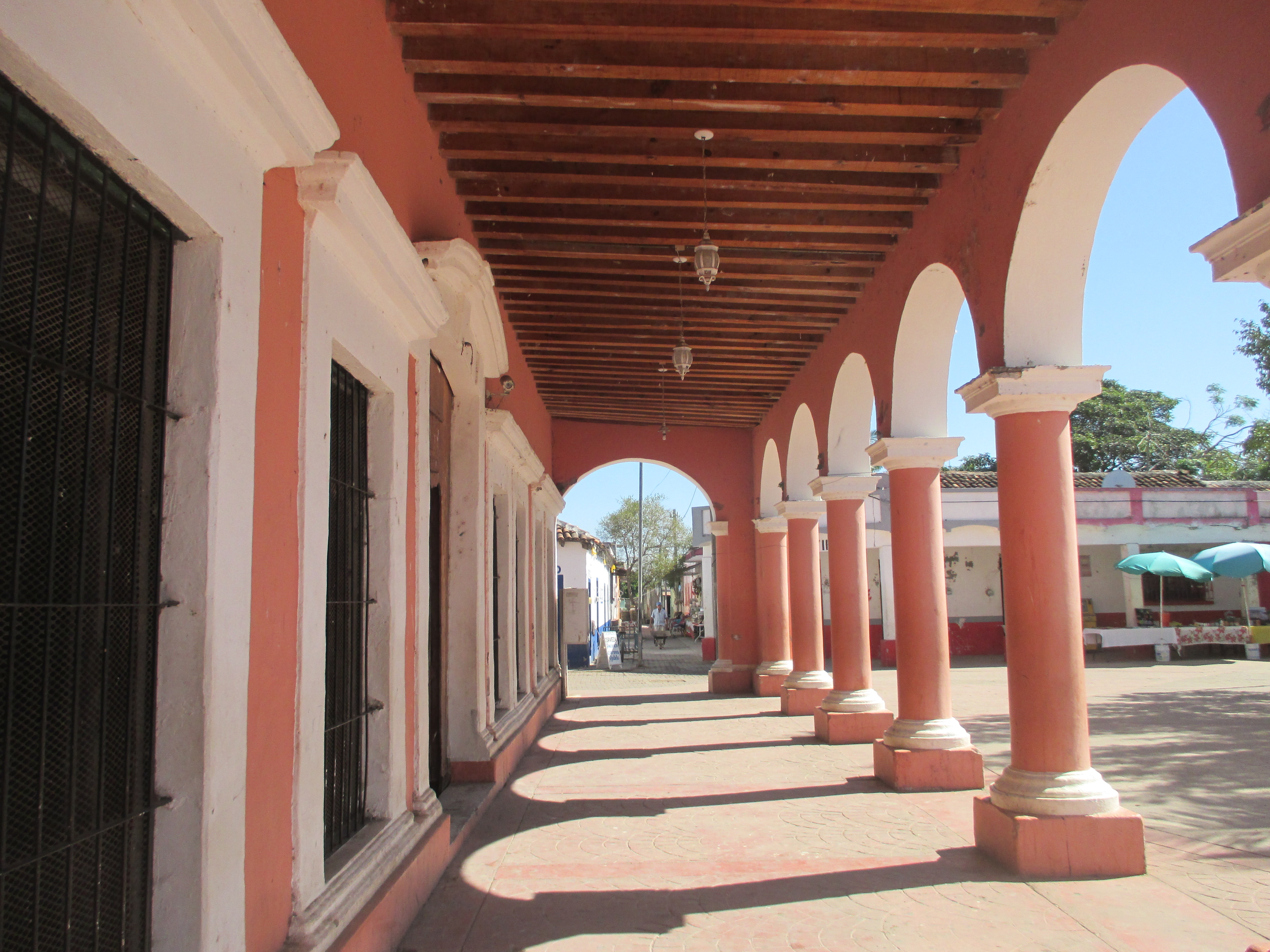
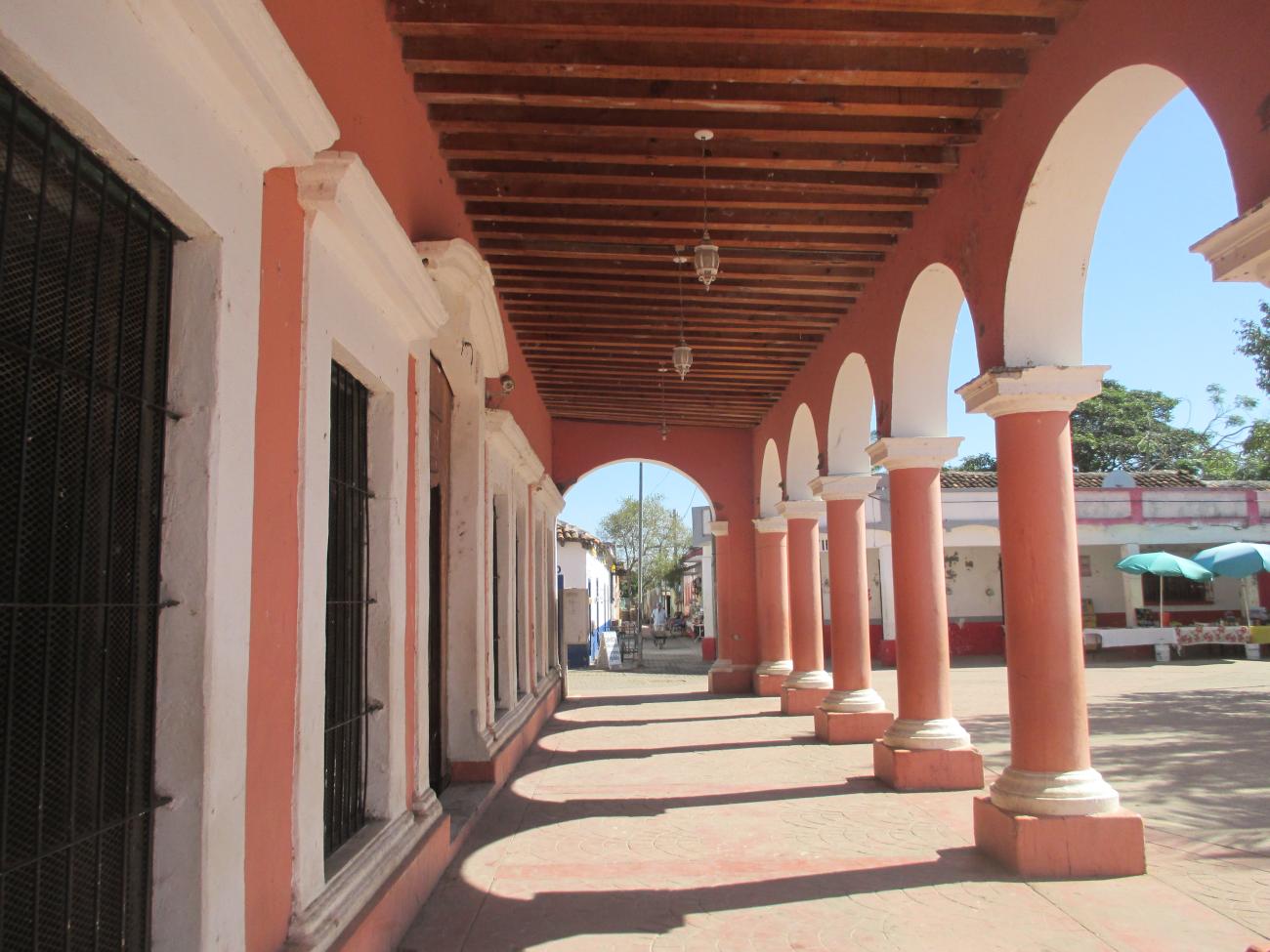
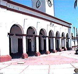
The urban layout of the island is very unusual and gives visitors the sensation of being in a space out of ordinary time. The perimeter of the island is one thousand meters and its diameter is 400 meters. It is made up of 20 blocks with buildings of historical value, built between the 19th and 20th centuries. Of note are the San Pedro Church, the east and west arcades, and the Town Hall, all of them around the main square of the town, as well as buildings for educational purposes and welfare services, and for the use of civil and military authorities.
The island is part of the Marismas Nacionales de Nayarit Biosphere Reserve, declared on May 12, 2010. It was declared a Zone of Historical Monuments in 1986.

Categoria
Mexcaltitán de Uribe Croquis
Adscripción
Créditos
INAH-Mediateca

Museo "Aztlan Museo del Origen"
Between 1900 and 1920, it was the headquarters of the police station, although during the Revolution it served as a fort. In 1989, half of the building was converted into a museum, and it now occupies the entire building.

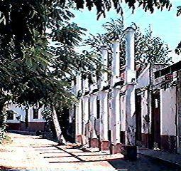
Columnas Chinas
These ruins belong to a 19th-century Chinese restaurant. On this island, the Chinese established one of the most important salt trading centers.