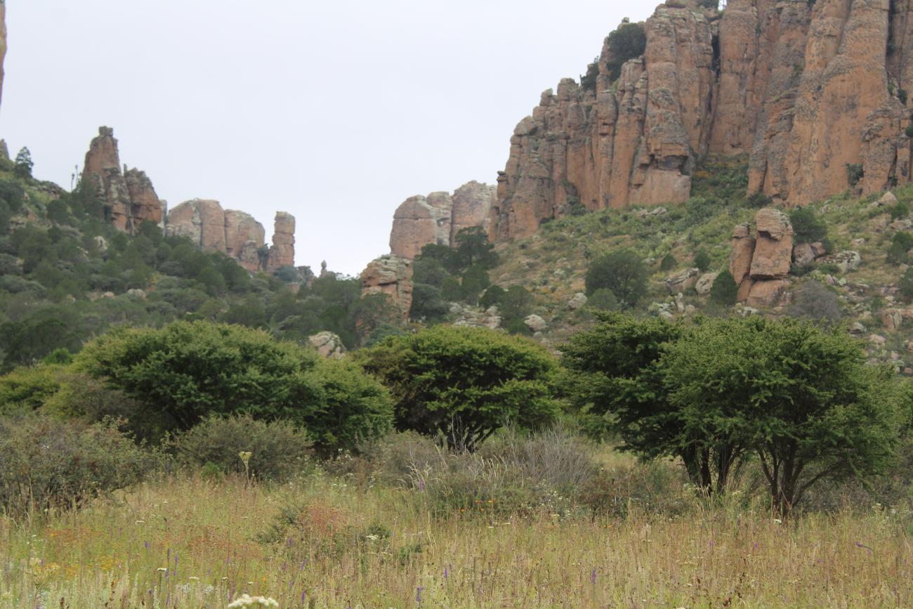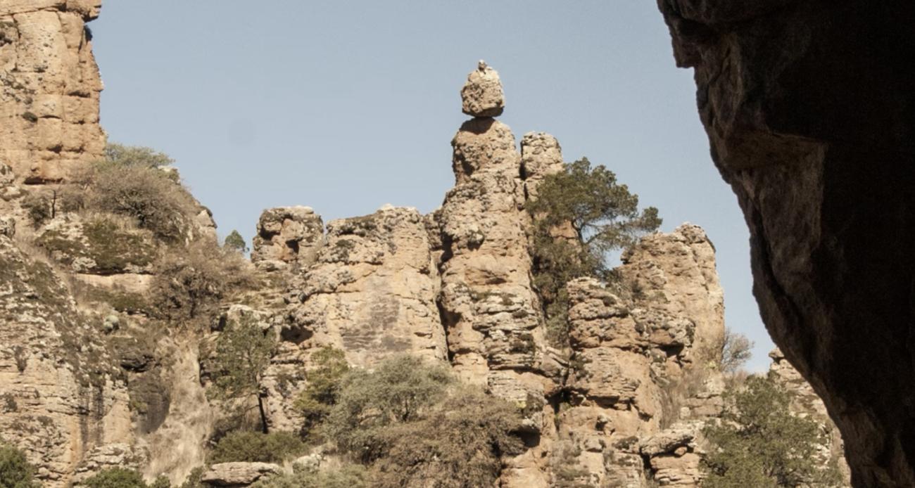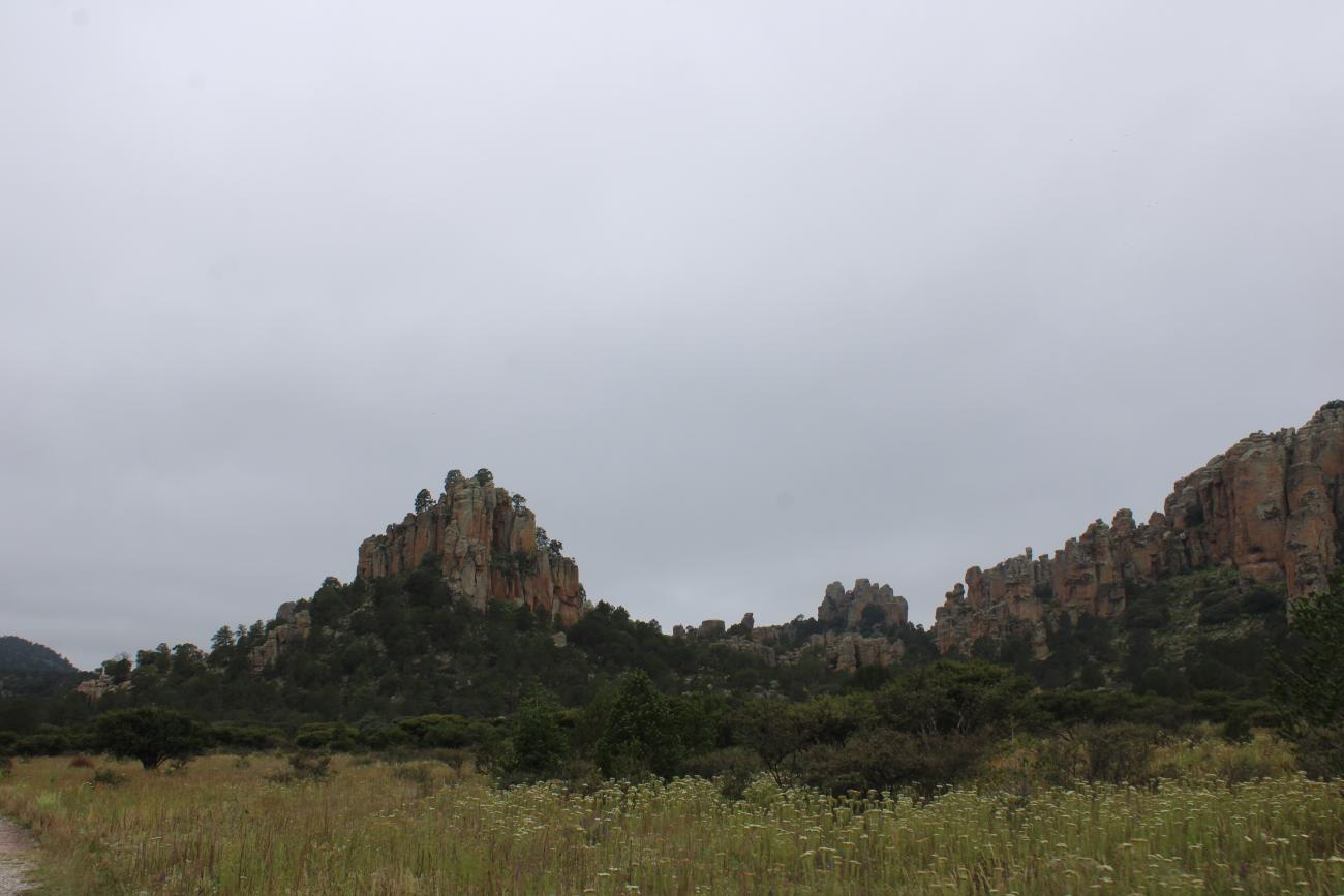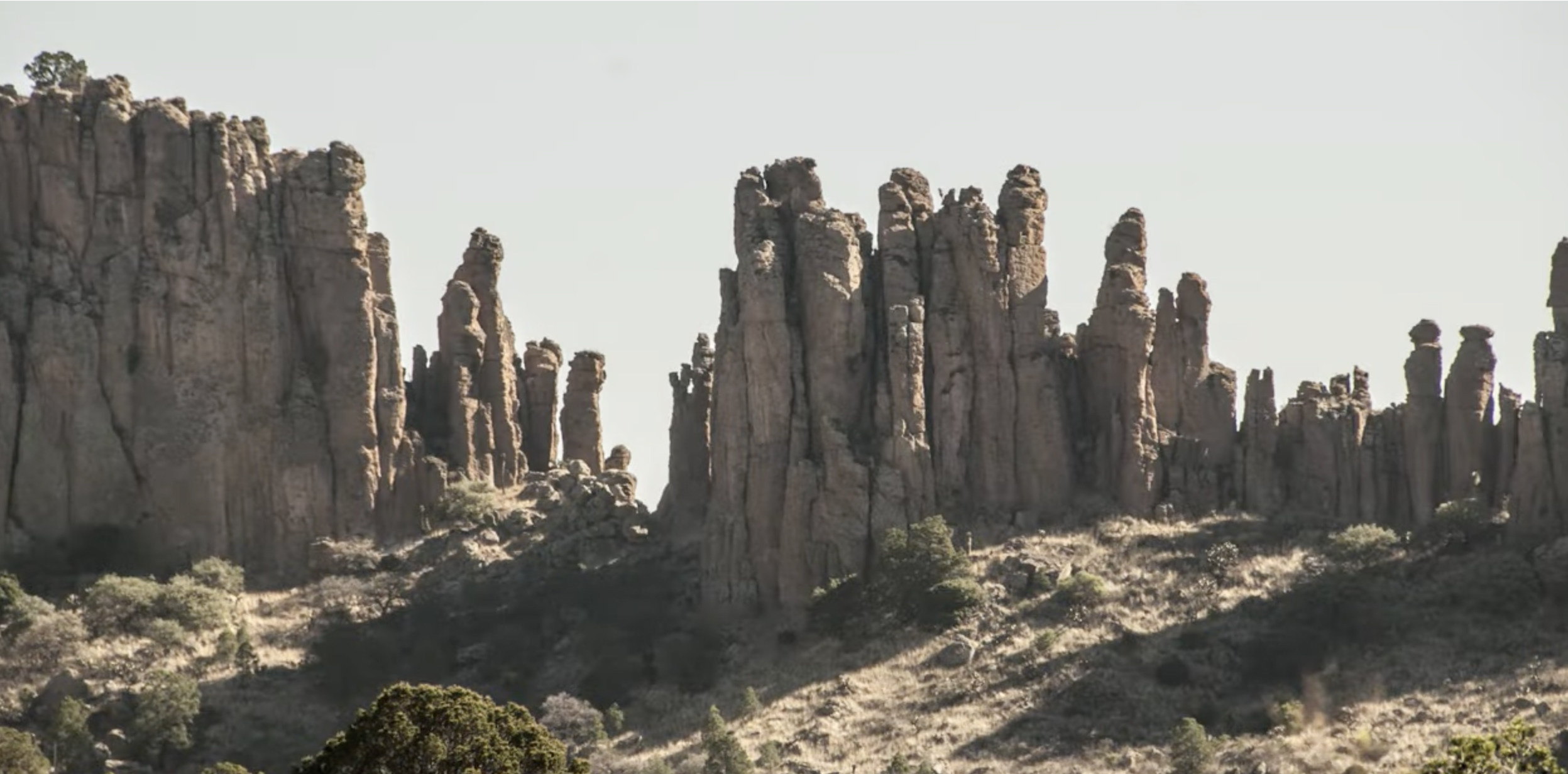


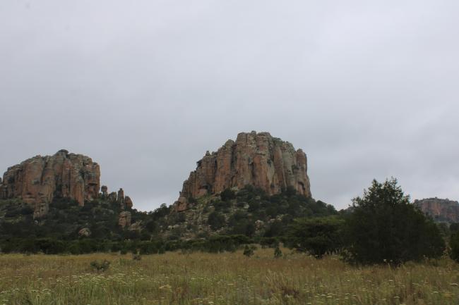

Sierra de Órganos
During the colonial era, the Sierra de Órganos mountain range in Zacatecas marked the border between the kingdoms of Nueva Galicia and Nueva Vizcaya. From the 16th century onwards, it served as an important landmark for travelers on the Camino Real de Tierra Adentro between Real de Minas de Sombrerete in Zacatecas and Hacienda de San Antonio de Muleros in the state of Durango.
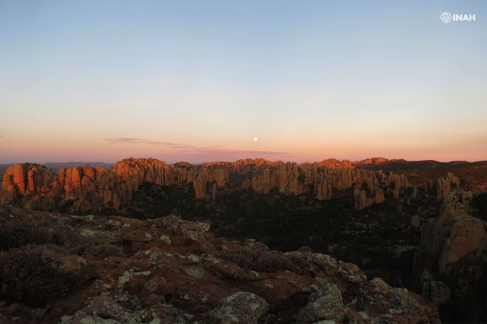
Today, the Sierra de Órganos essentially marks the border between Zacatecas and Durango, located in the current municipality of Sombrerete. It is the only natural landscape among the 60 towns that make up the Camino Real de Tierra Adentro.
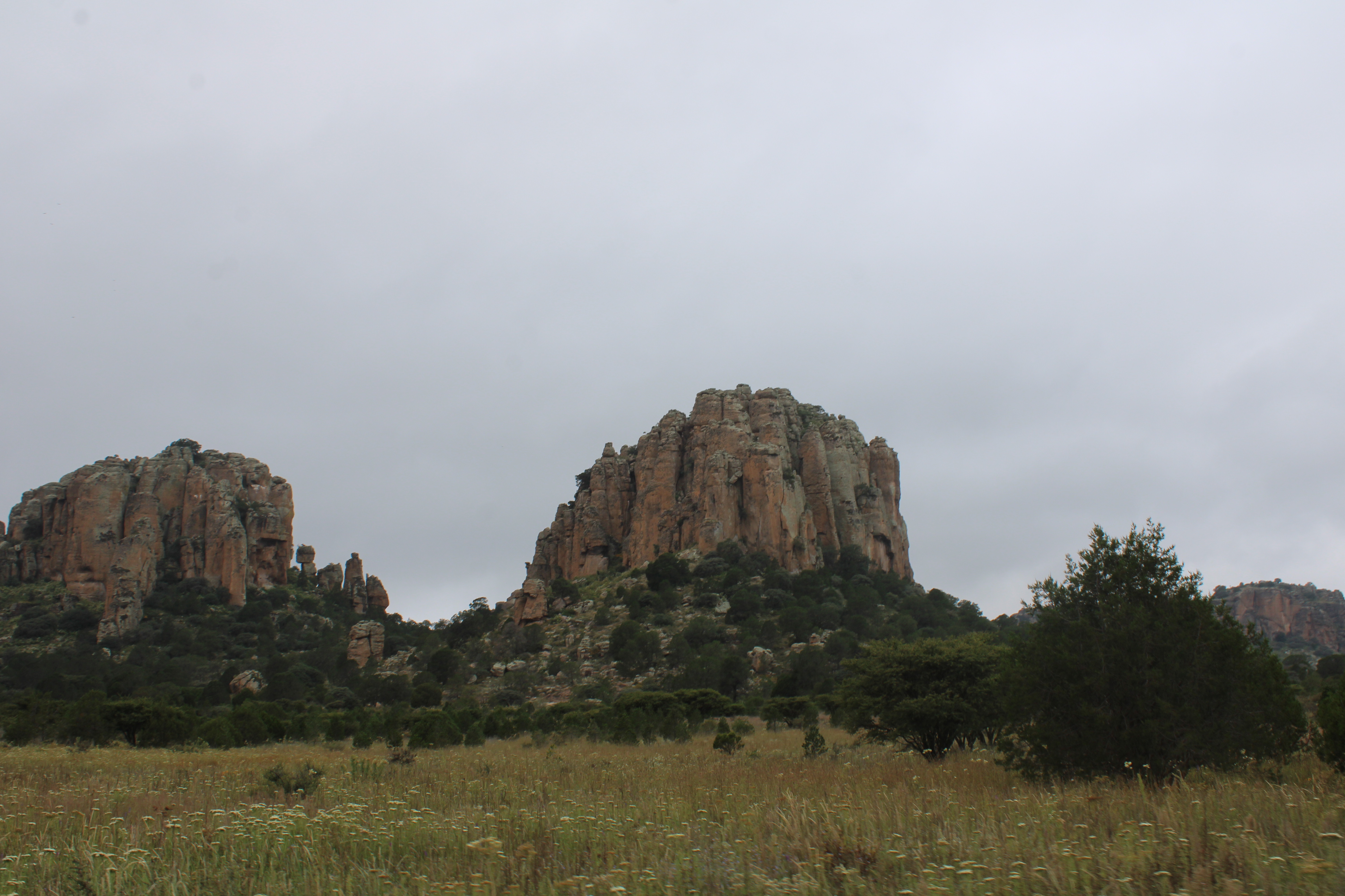
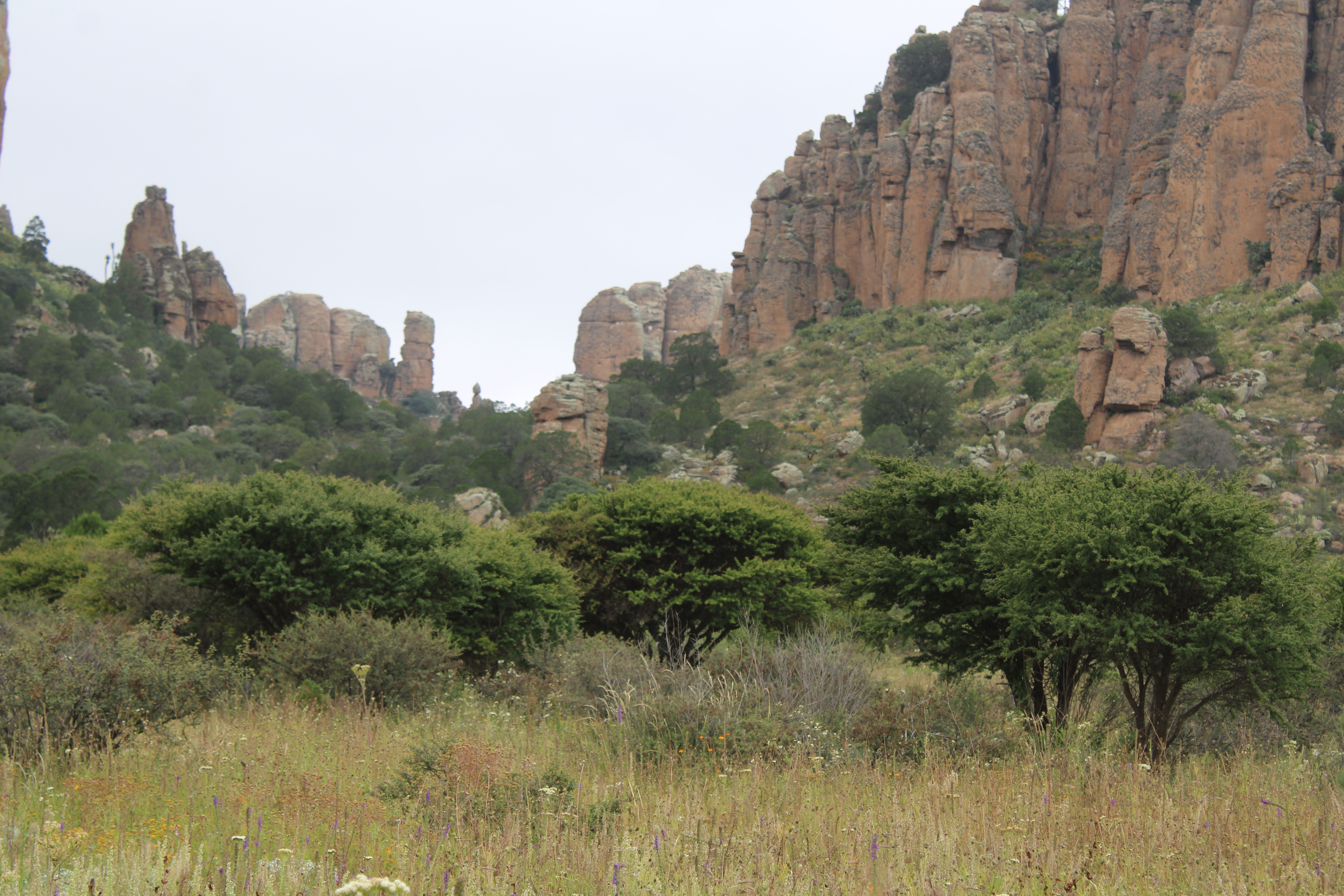
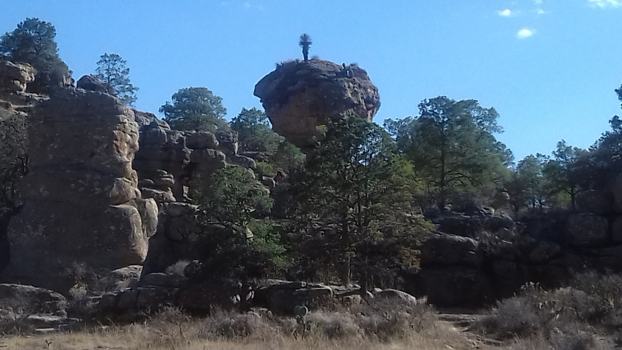
This natural area is characterized by its rugged and majestic topography, with rocky elevations ranging from 2,100 to 2,560 meters above sea level. This mountain range, together with that of Sombrerete, forms a pass used to descend from the Zacatecas highlands to the Poanas Valley in Nueva Vizcaya. From the mid-16th century, it was frequently traveled by those heading to various mining sites such as Sombrerete and San Martín. Later, it also became an important crossing point.