


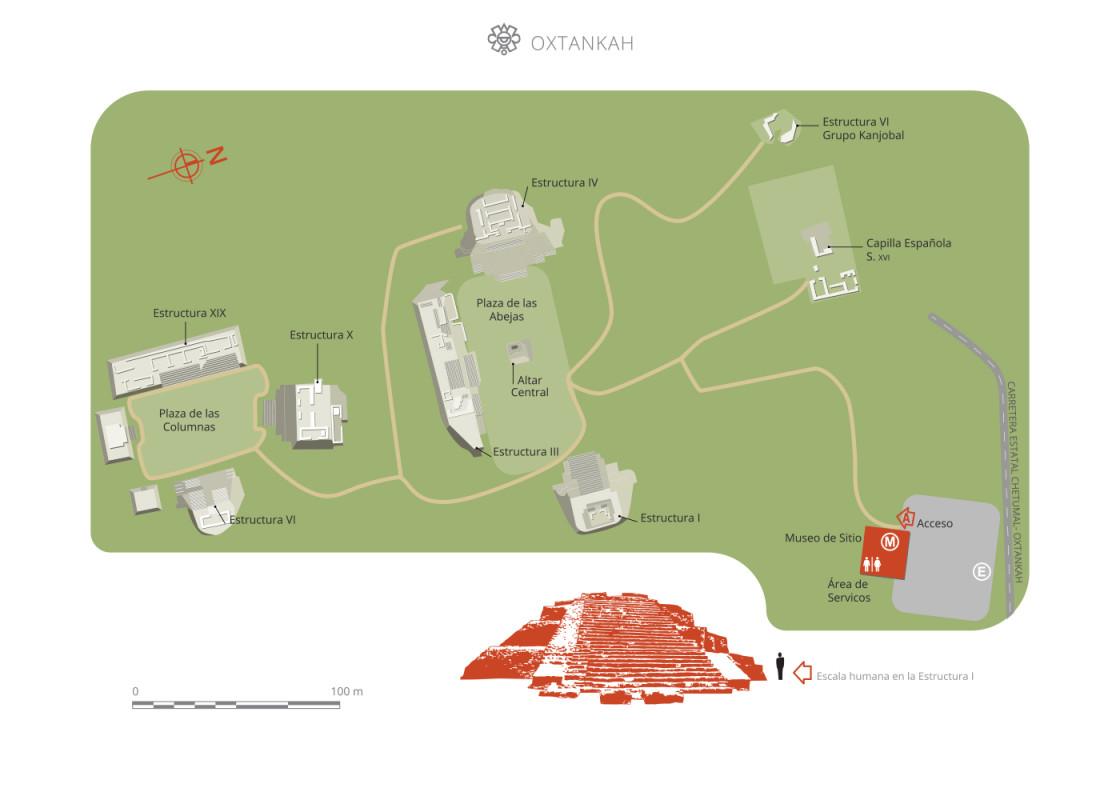
Oxtankah
The largest and most important city of Chetumal bay. Its inhabitants were skilled navigators who paddled their canoes along the canals of the region and ventured into the Caribbean to trade. As well as the numerous structures, they built wells and “chultunes” (cisterns) for the supply of fresh water.
The site is located in the far southeast of the state of Quintana Roo, ten miles north of Chetumal, the state capital.
Data obtained by the Oxtankah Archeological Project indicates that the city had its apogee between 250 and 600 AD, in the period known as the Early Classic. Its buildings underwent various modifications throughout this time. In the last of these it was decided to carry out a major expansion of the volume of various buildings and the terraces were linked on the facades of others. Also a variety of stucco murals were added to the facades with a series of signs and symbols. The murals were modeled and painted in detail with the aim of strengthening and communicating their ideology. This all points to the city attaining its highest population density in this period. The city continued to be inhabited later on in the Late Classic and Postclassic, but the evidence suggests that it was thinly populated at this time; instead it became a sanctuary where people would go to perform ceremonies, leaving various types of offerings.
Based on the architectural features of the buildings which have been examined, it is reasonable to suppose that the Peten region exerted a cultural influence, specifically on the so-called core area. There is no evidence to suggest contact with the societies established on the east coast of Quintana Roo.
The Maya built the most important buildings at Oxtankah just over half a mile from the bay of Chetumal, in front of the island of Tamalcab, making use of an extensive natural platform. To the west of the city there is a large system of lakes which connects most notably the lakes of Bacalar and Guerrero to the sea via narrow channels. Oxtankah enjoyed a privileged position in terms of basic resources, since its inhabitants had access to an abundance of food from the sea as well as the lakes, and on the other hand they had an efficient communication network at their disposal, which was especially advantageous when compared to the alternative of land transport in Mesoamerica. To supply fresh water they built chultuns, a system of rain water capture and storage consisting of bottle shaped underground chambers, and wells. They also modified natural deposits such as cenotes and hollows formed naturally by the collapse of the cave roofs, where the subsoil carried underground water.
- Dirección del Centro INAHMargarito Molina Rendónmargarito_molina@inah.gob.mx+52 (983) 837 2411Administración del Centro INAHWilliams Ferneli Tun Cabwilliams_tun@inah.gob.mx+52 (983) 837 2411 ext. 318005
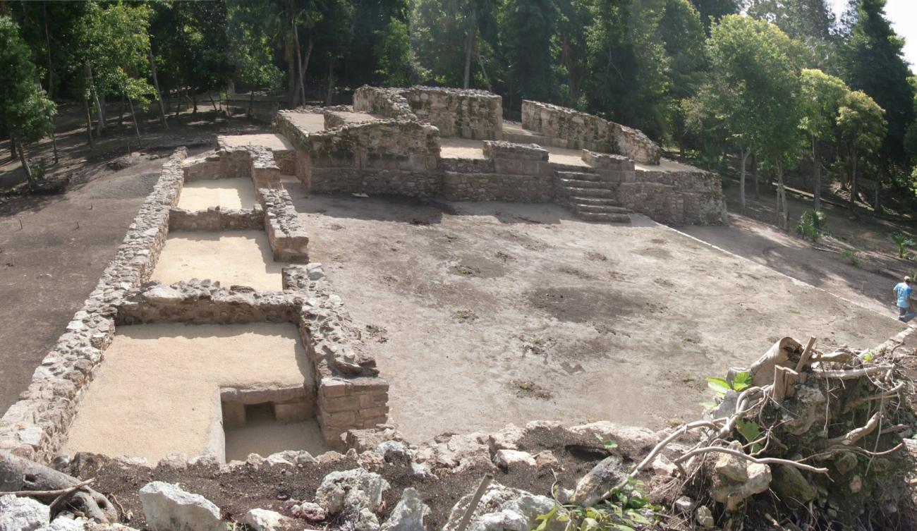

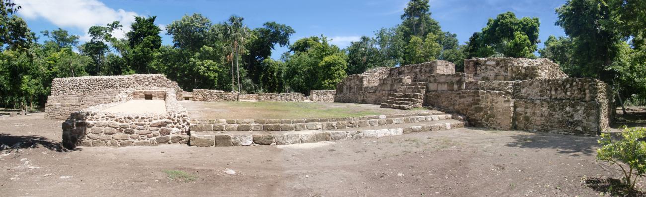

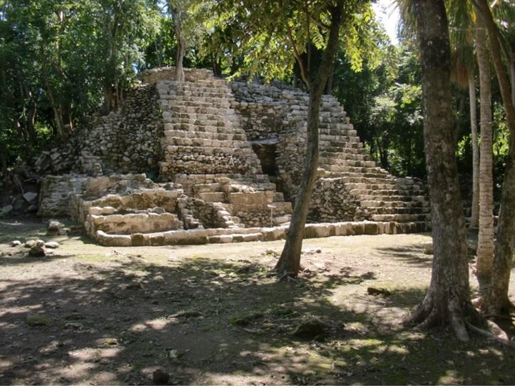
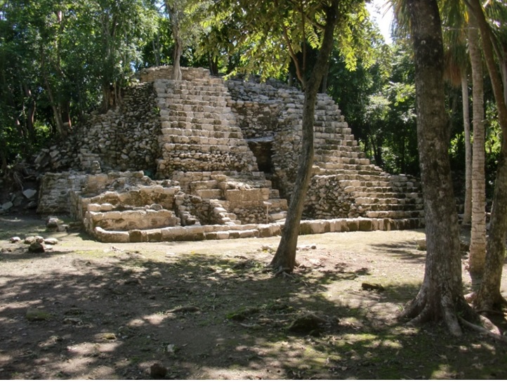
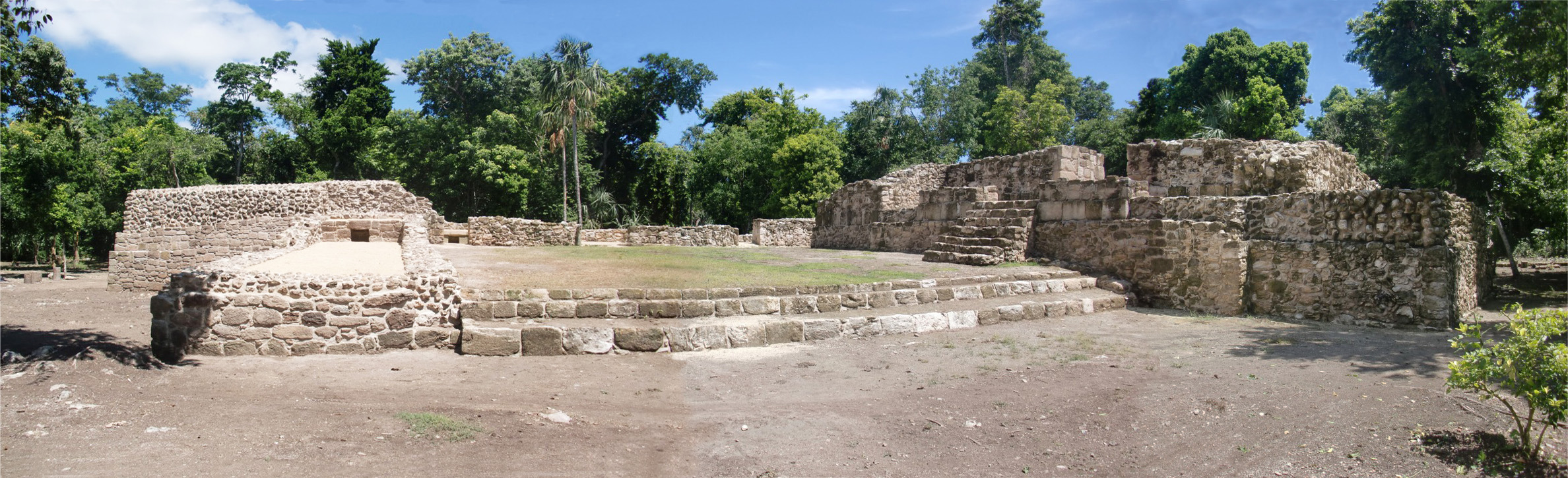
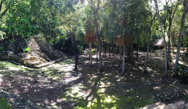
Plaza Tortugas
It is composed of 3 buildings.
Central building: View of the west façade showing the staircase of a substructure.
Structure I. West façade: View towards the southeast of the north and central buildings.


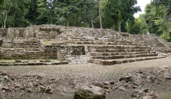
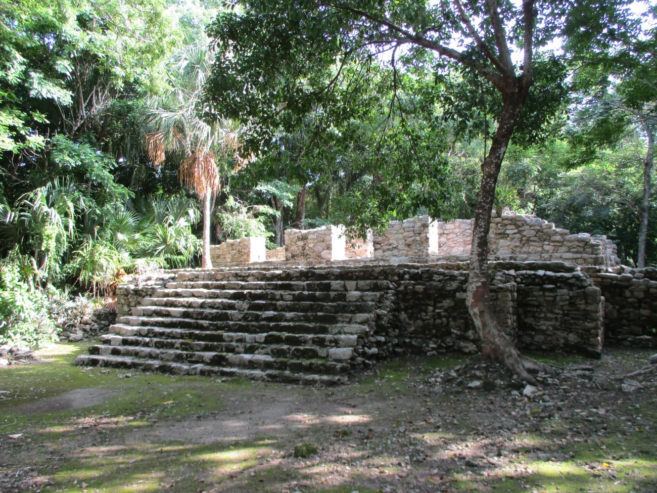
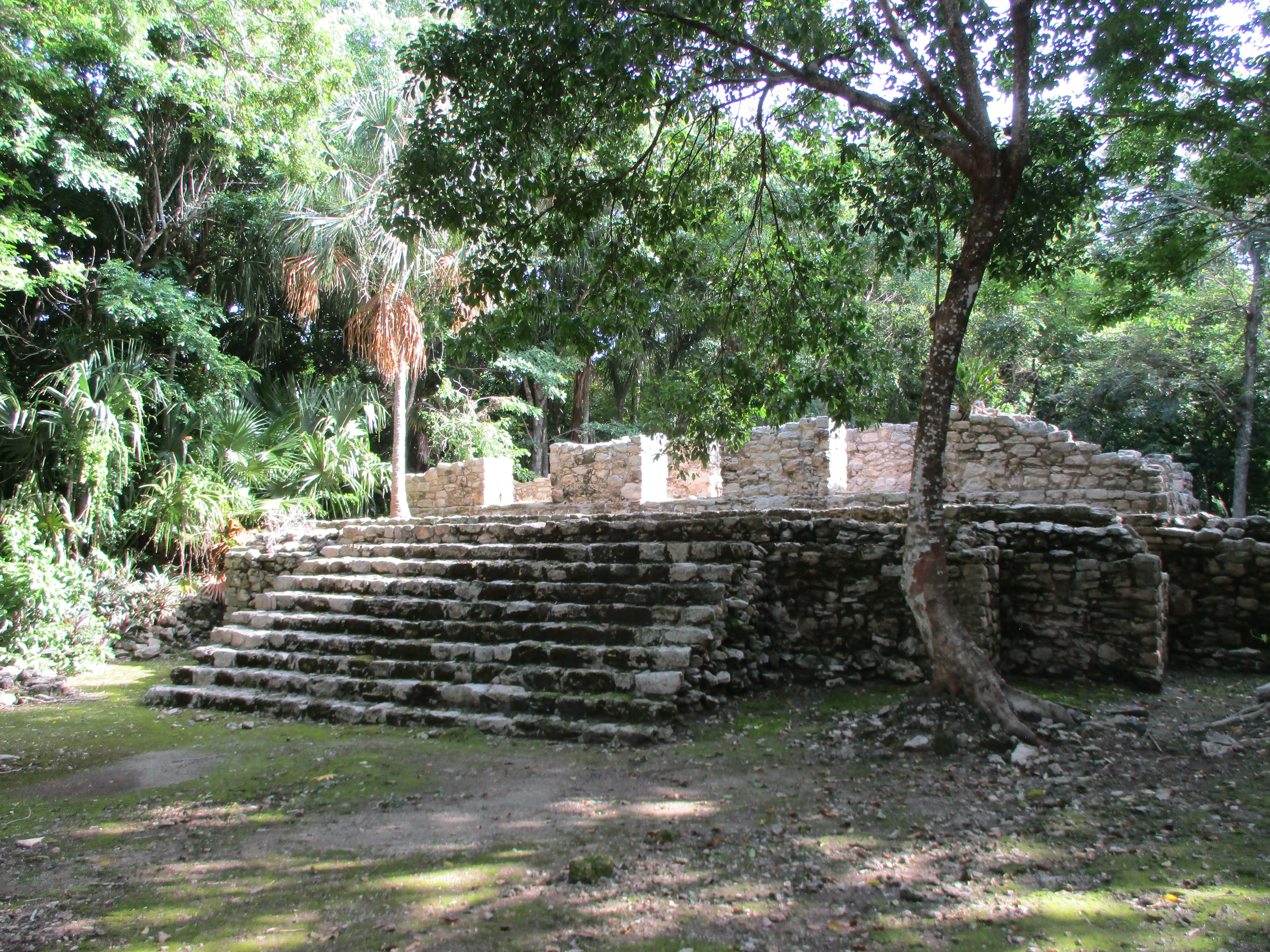
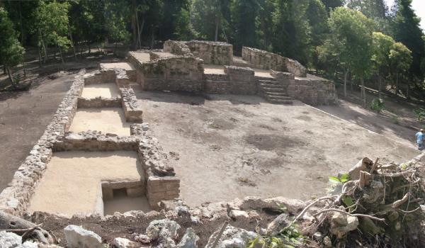
Plaza Abejas
Structure III. North façade
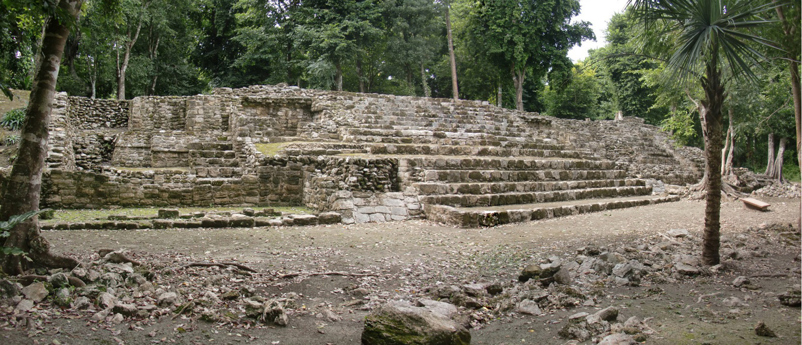
Structure IV. East façade
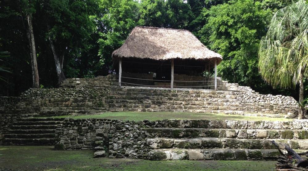
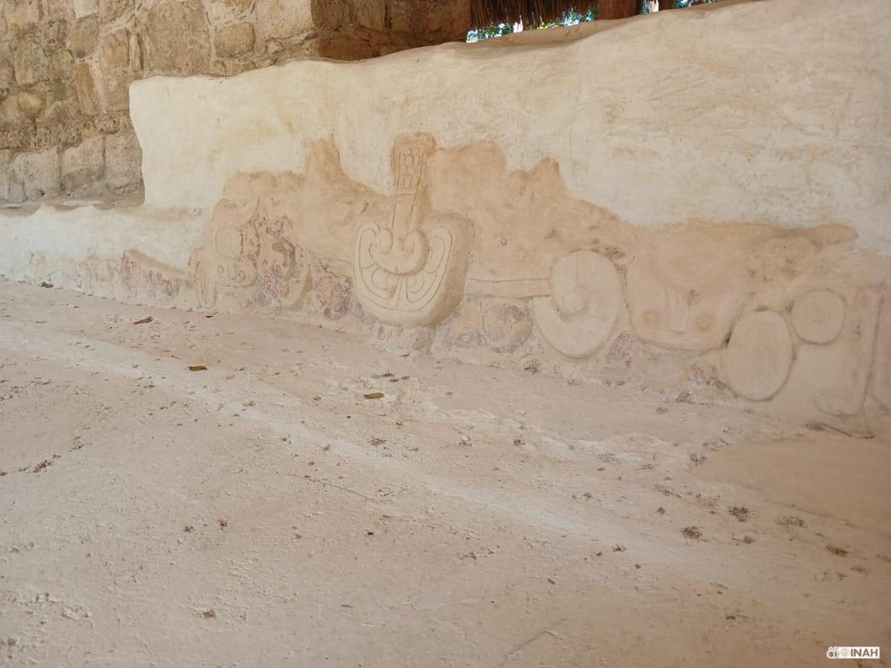
Structure IV. East façade: View of the remains of the polychrome stucco mask, which was protected with a palapa.
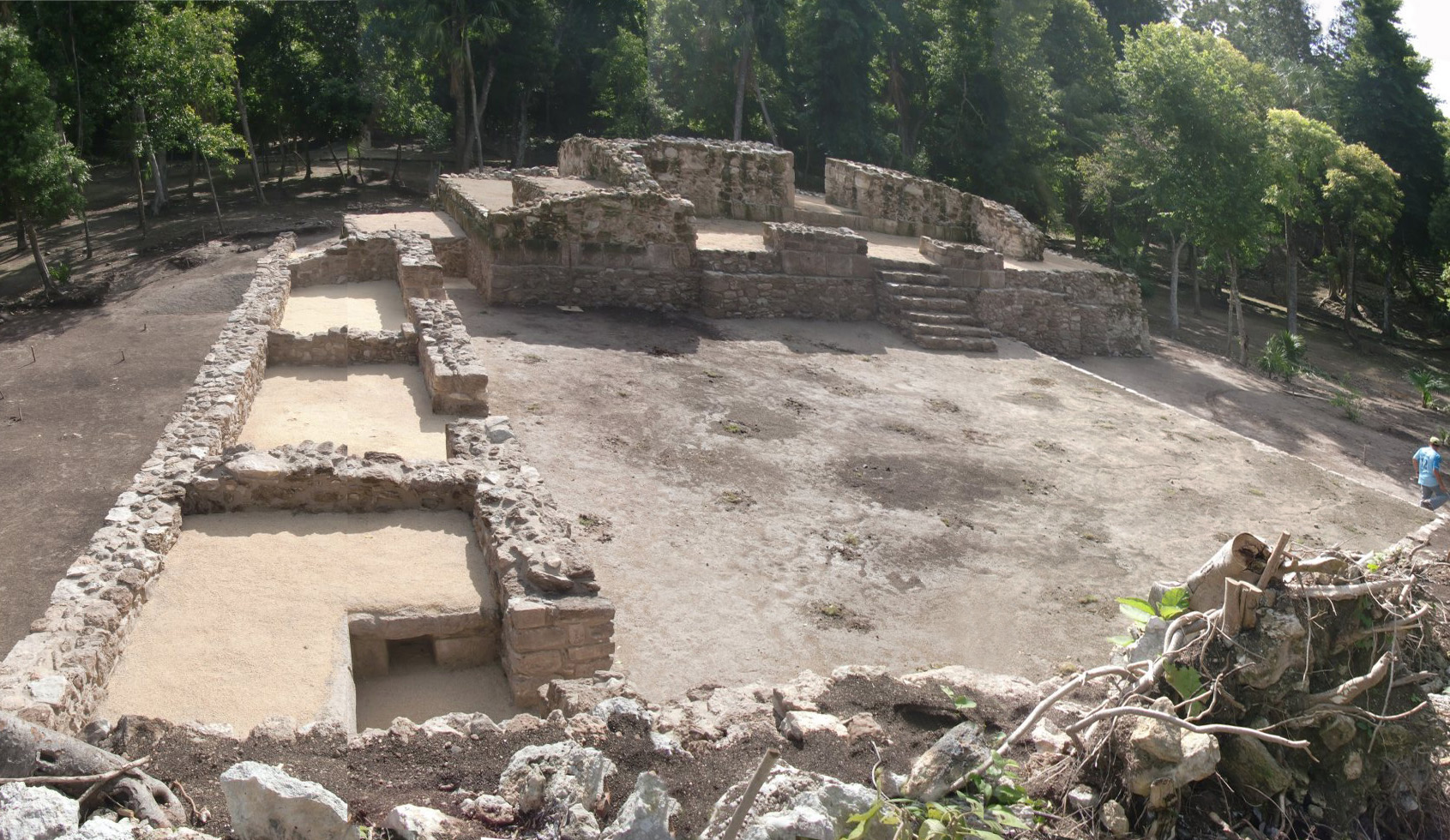
Central altar. View towards the east
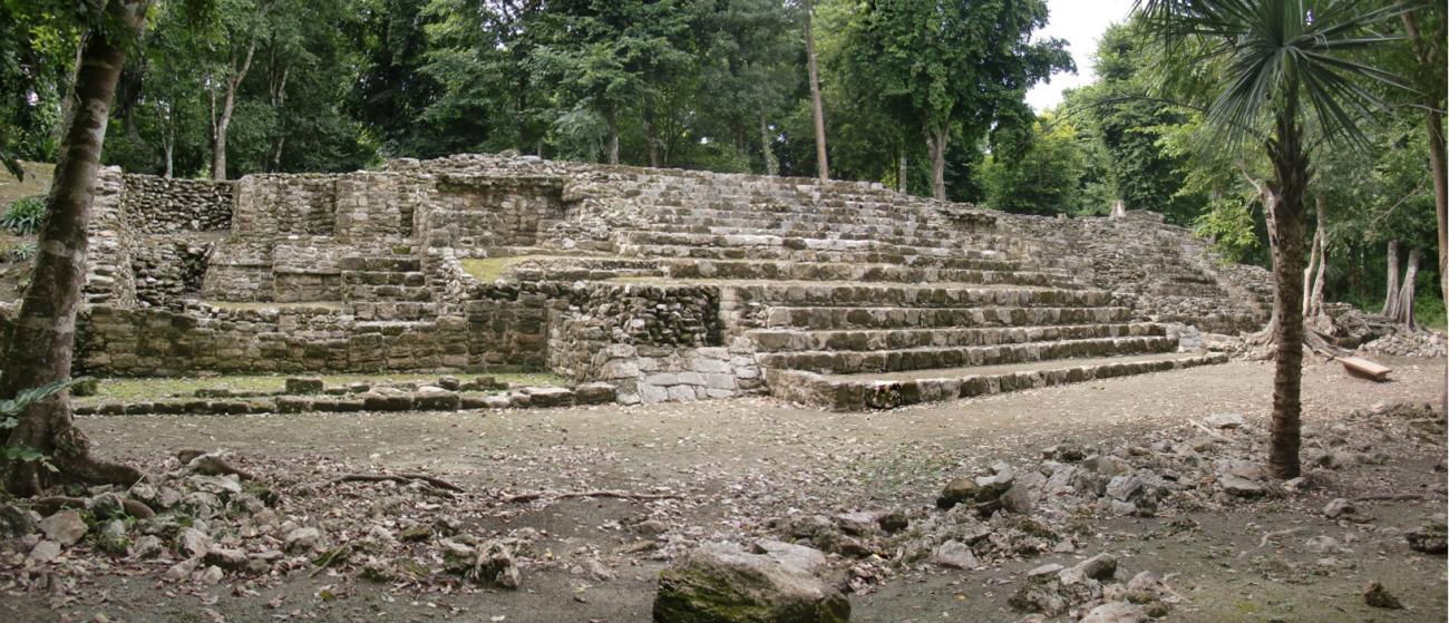


Structure III. North façade
Structure IV. East façade
Structure IV. East façade: View of the remains of the polychrome stucco mask, which was protected with a palapa.
Central altar. View towards the east
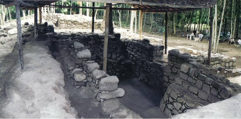
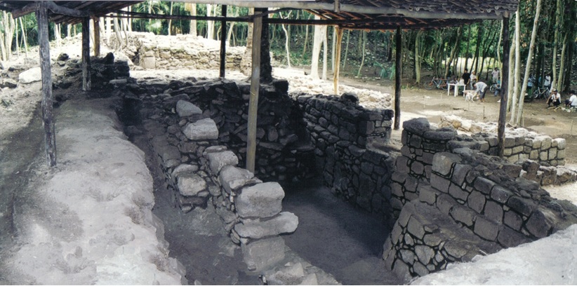
Central altar. Tomb: Burial in cist, with a plastic human skeleton that was placed for didactic purposes and in the original position in which the pre-Hispanic Mayan personage was placed, protected with a palapa.
Altar central. Tumba
Structure VI
Structure IX: Substructure aisle covered with palapa.
Structure IX. East façade
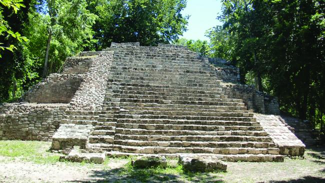
Structure X. South façade