










Calakmul
Archeological site
Calakmul
Patrimonio mundial
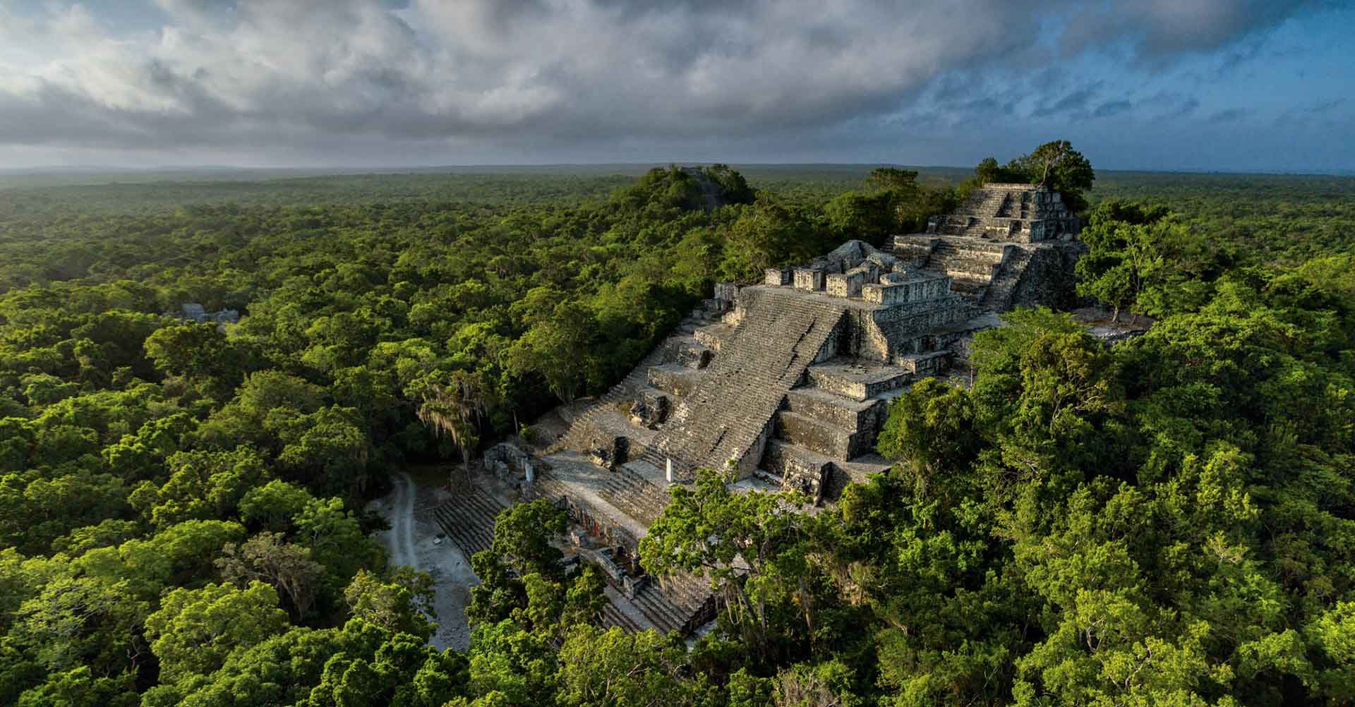
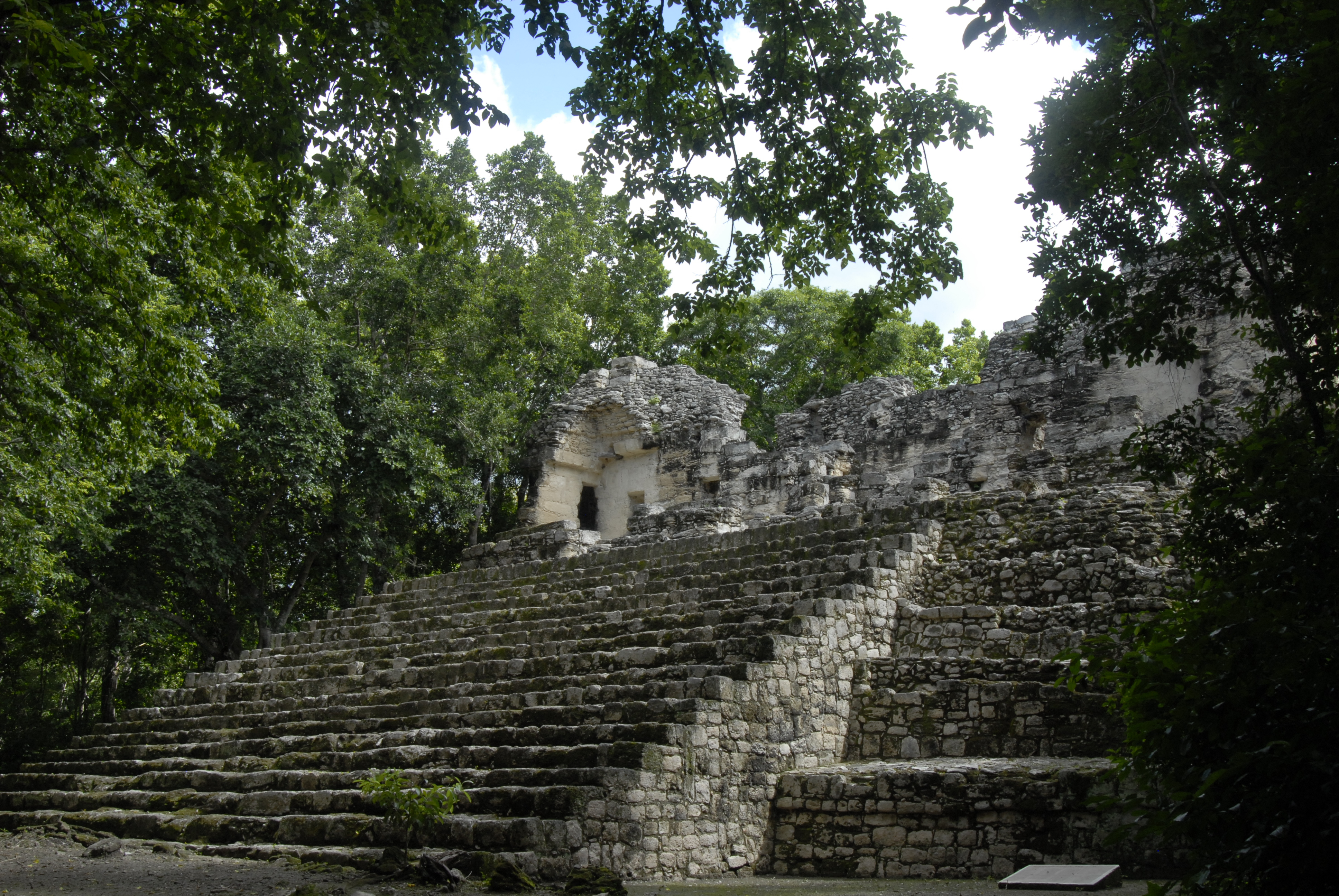
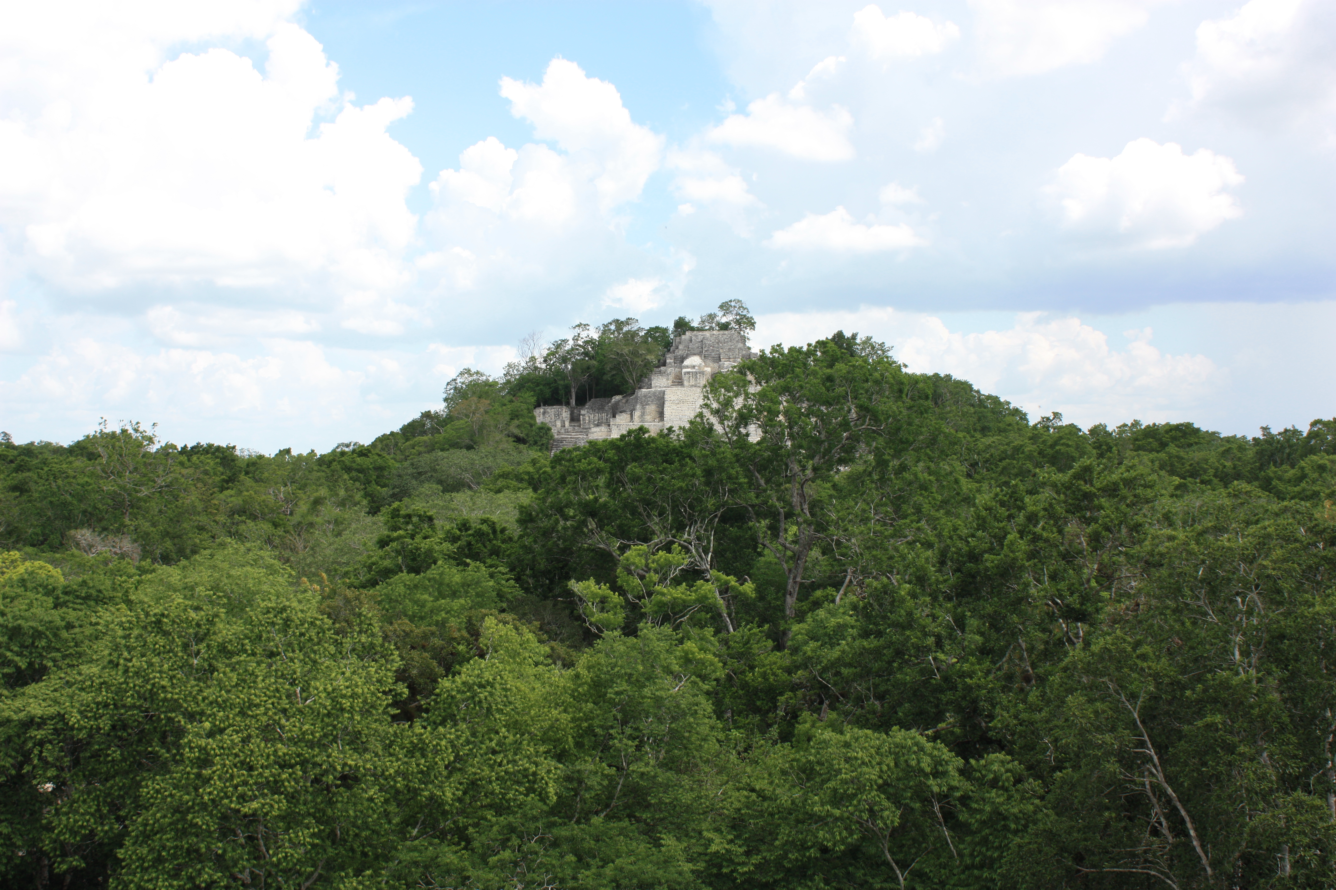
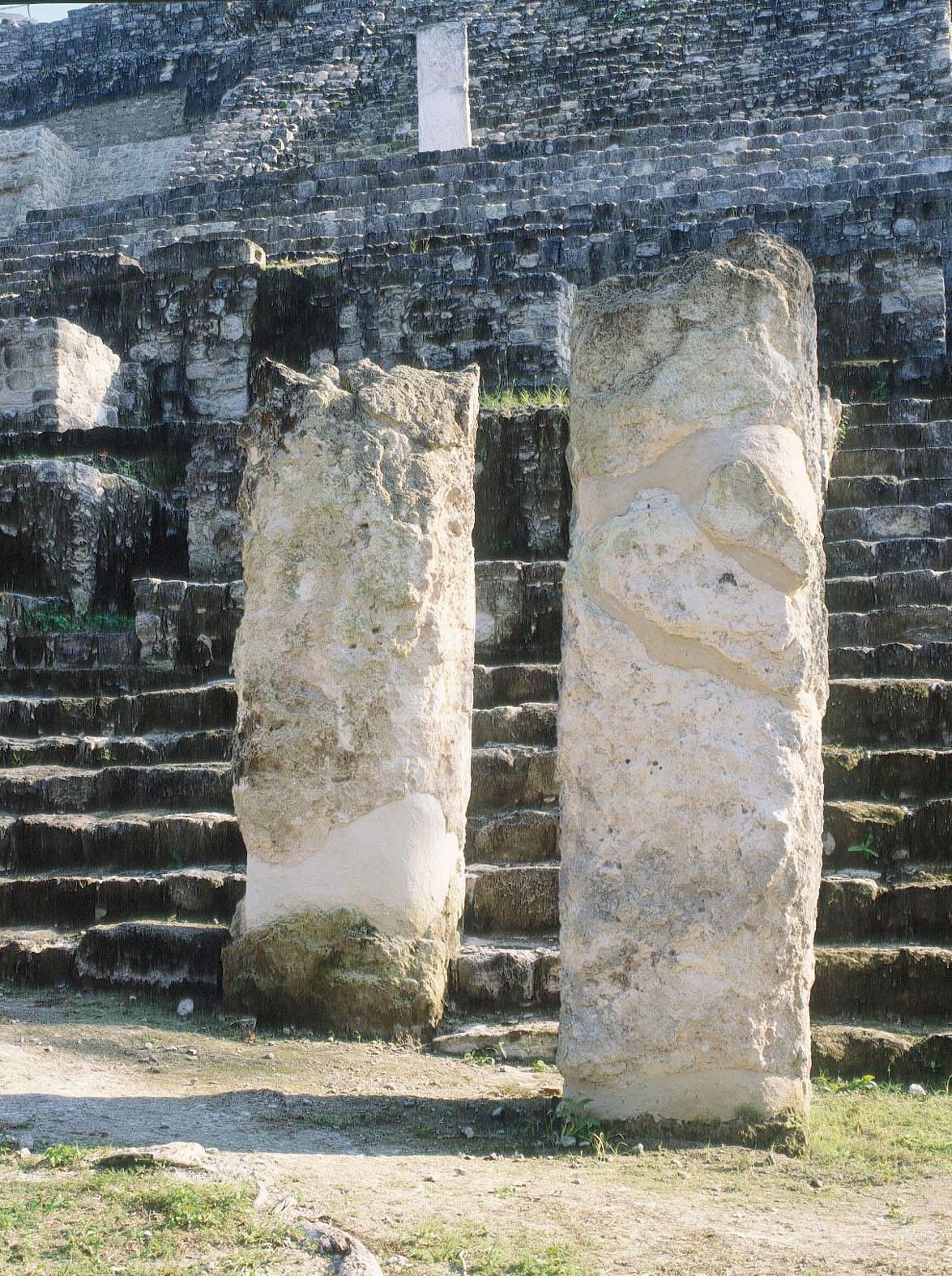
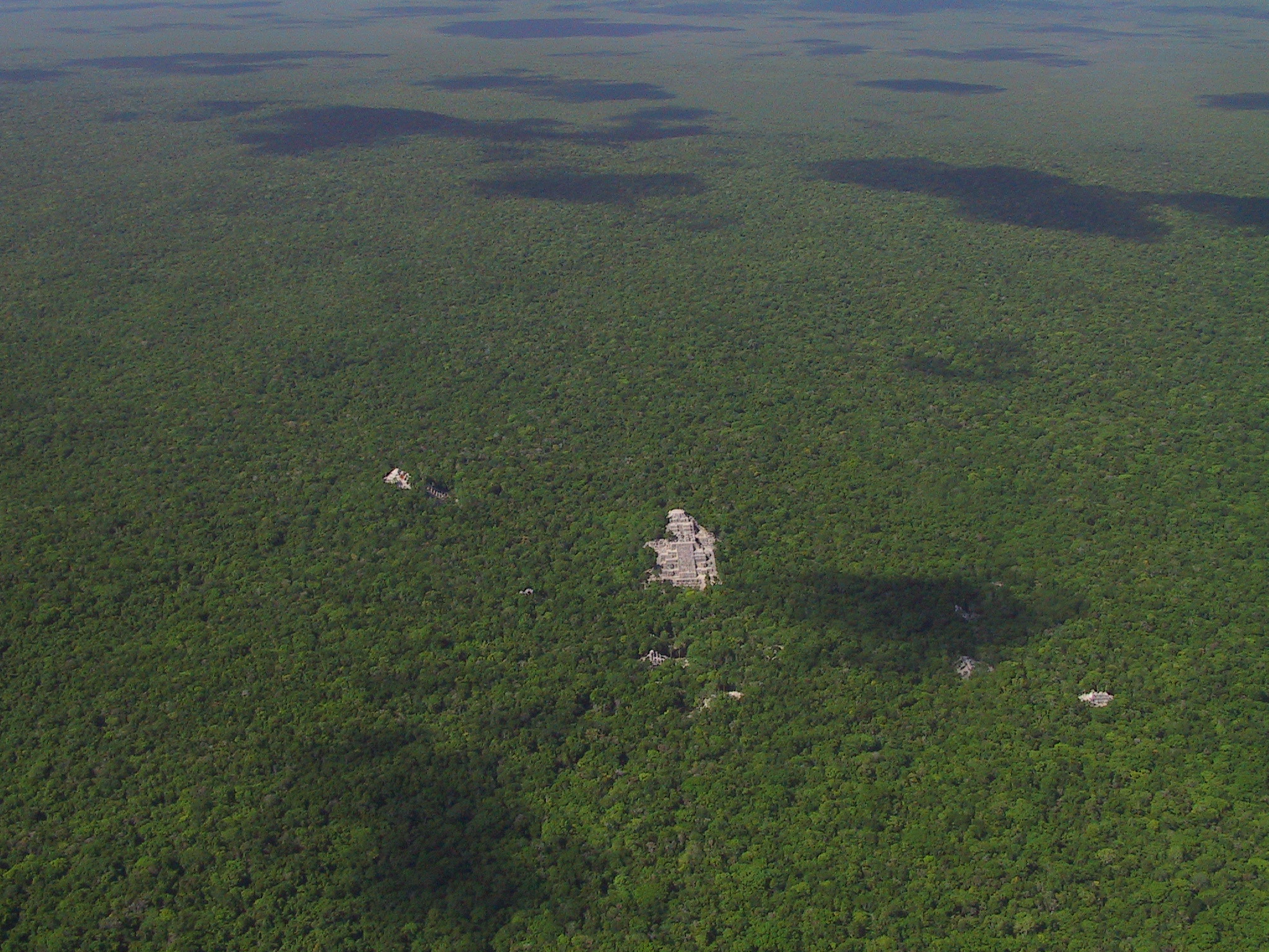
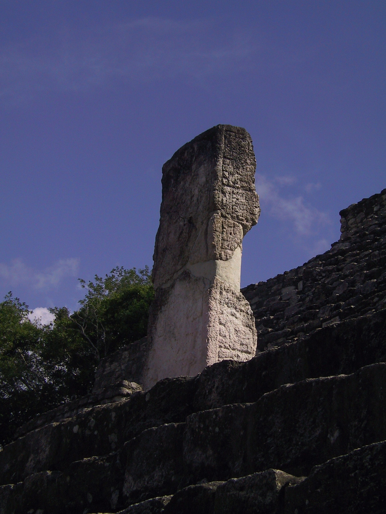
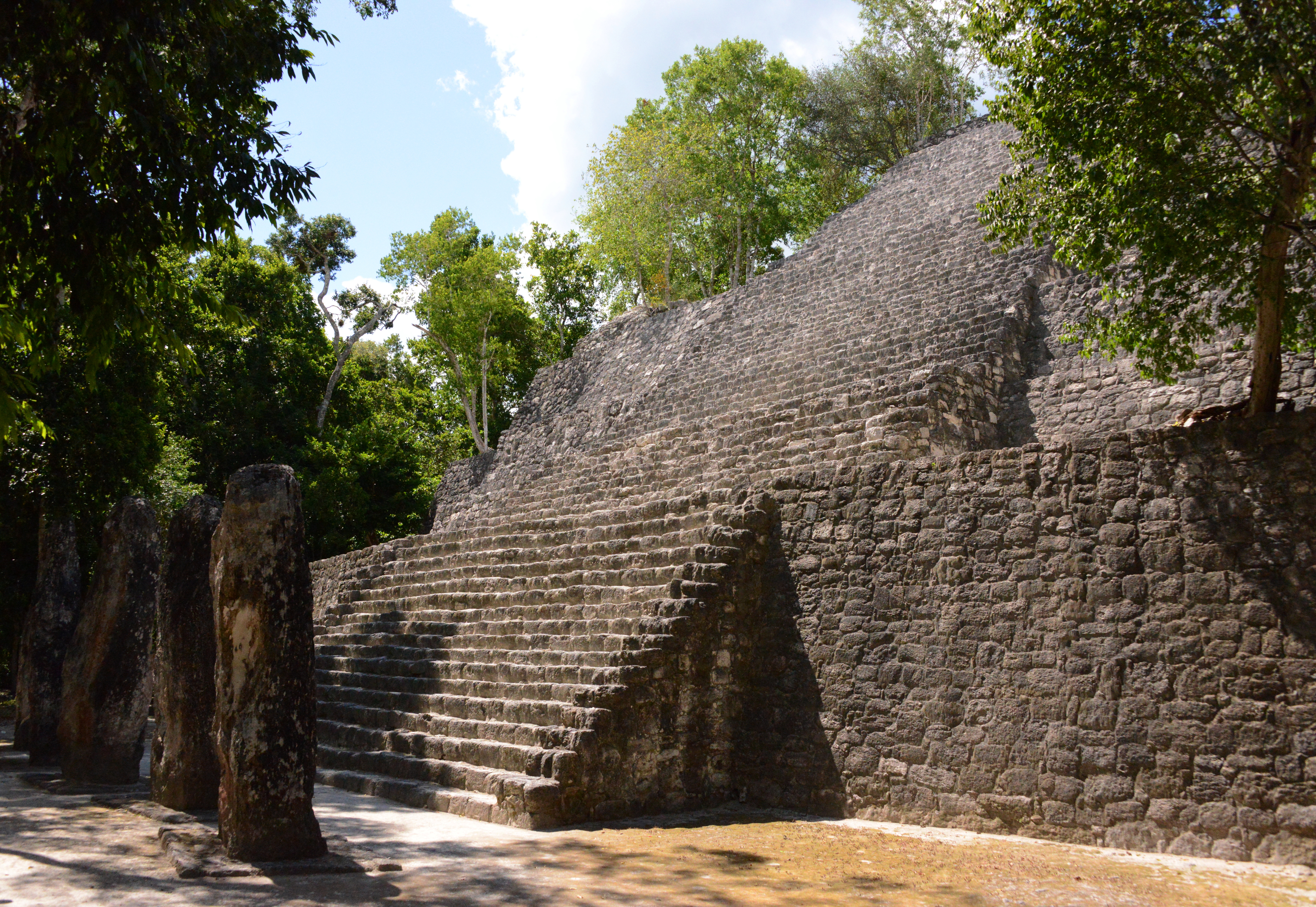
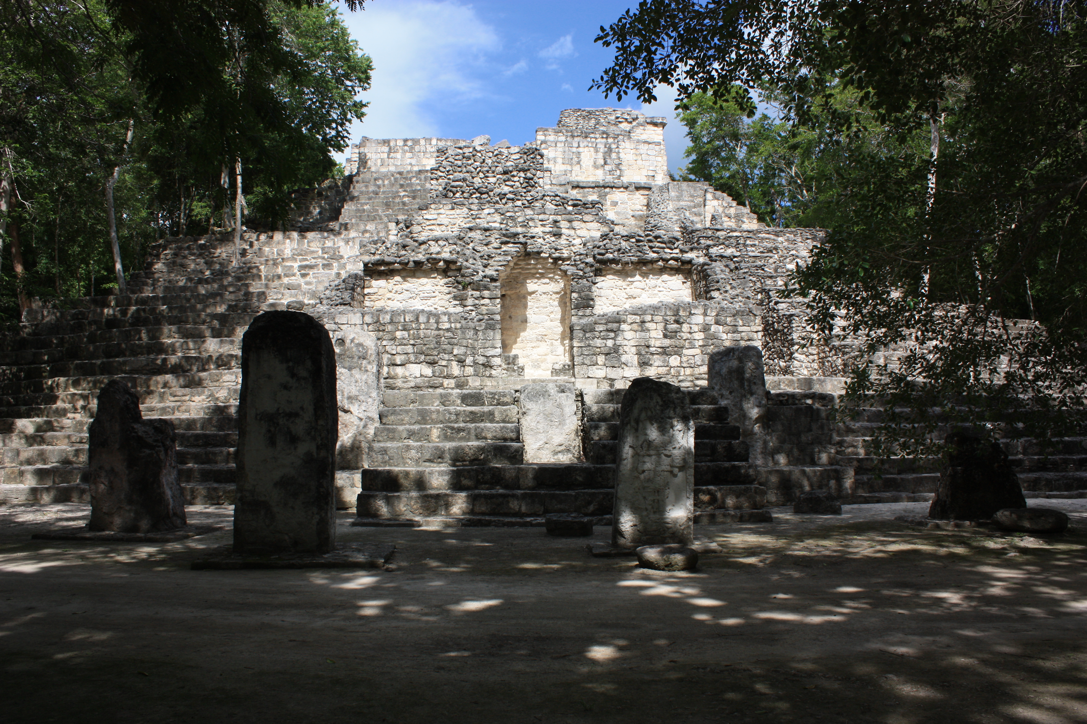
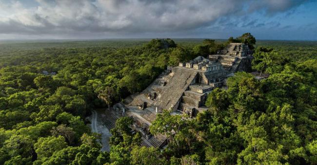
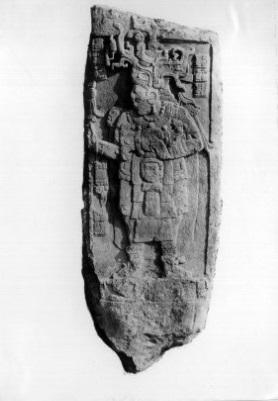
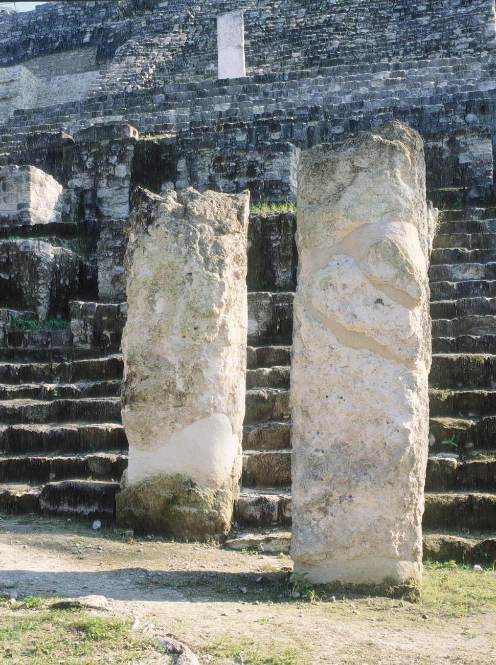
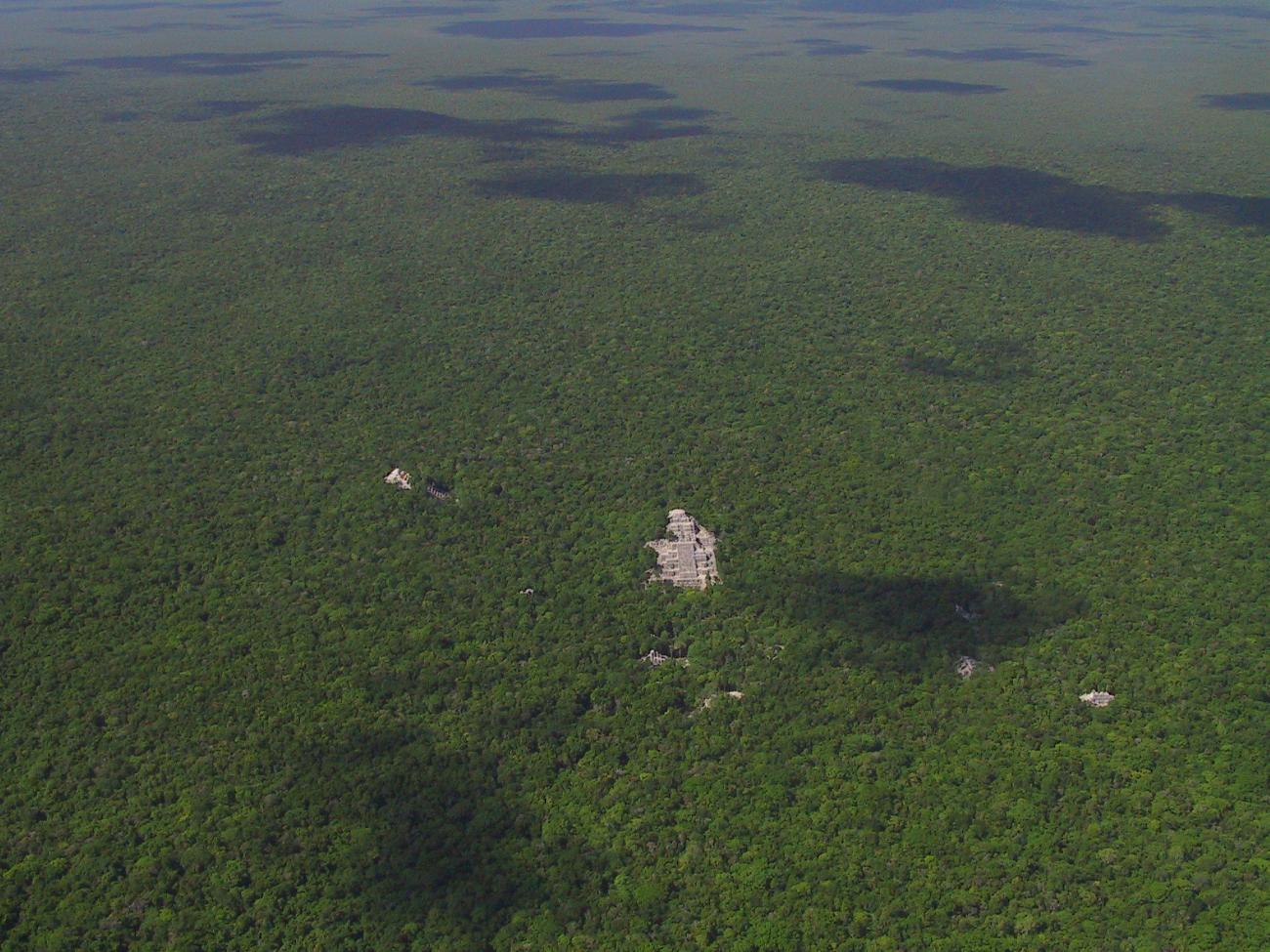
One of the largest cities in the Maya region, Calakmul is dotted by 120 stelae amid the monumental structures and pyramids. It is located in the second-largest natural reserve in the Americas, and was listed as a UNESCO Mixed World Heritage site in 2014.
Inhabited since the very distant past, from around 2000 BC, Calakmul developed into the most important city of the Mayan lowlands between the years 250 BC and 700 AD. No other Maya city located in the territory of modern-day Mexico had such great significance. It challenged and defeated Tikal, the principal city of the vast region covering the southern Yucatan peninsula and northern Guatemala, before eventually being defeated by the same rival early in the eighth century AD. After a long period of decline, Calakmul was abandoned and the jungle engulfed its plazas and wrapped itself around the city’s palaces, altars and temples. The inhabitants dispersed and formed new towns, or joined other settlements.
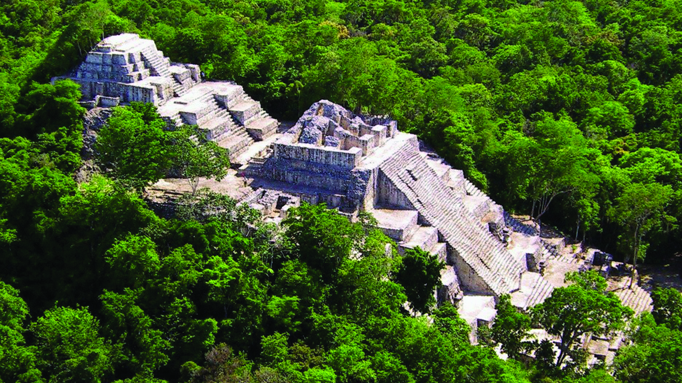
The archeological site of Calakmul covers an area of 27 square miles and contains more than 6,000 structures. At its peak, it ruled over a territory measuring 5,000 square miles. In the early sixteenth century, a Spanish conquistador and explorer, Alonso de Ávila, discovered the ruins of Calakmul and other Maya sites of the Classic period in the area known today as Campeche: he found them abandoned and overrun by dense tropical vegetation. He also observed that the local indigenous people would occasionally visit some parts of the city for ritual purposes.
Five centuries later, the biologist Cyrus Lundell rediscovered the site in 1931 and passed on information the following year to the famous US researcher, Sylvanus G. Morley, who visited it with a particular interest in the glyphs on the stelae. Another 50 years would pass before a team of archeologists from the Autonomous University of Campeche and the INAH finally started excavations and began to reveal the site’s remarkable history.
In the sixth century AD, the territory of the ancient Maya consisted of some 60 provinces. A handful of these groups were eager to rule over a majority: Tikal achieved this control through the use of force; Calakmul also subjugated other communities, initially through diplomacy, trade, and dynastic alliances, and ultimately also through the use of weapons. Epic clashes took place between both of these powerful city-states: Calakmul was initially victorious—and became capital of Cuchcabal or the “Kingdom of the Serpent’s Head”—in 562 AD. Tikal later regrouped, formed new alliances, and defeated its enemy in 695. This led to Calakmul’s decline and ultimately its demise. The latest date found on a stela at the site gives the year 909. However, other Maya settlements of the Classic period did not survive either; some were eclipsed in the ninth century or disappeared over the course of the following century. This was the period when Maya civilization is understood to have collapsed.
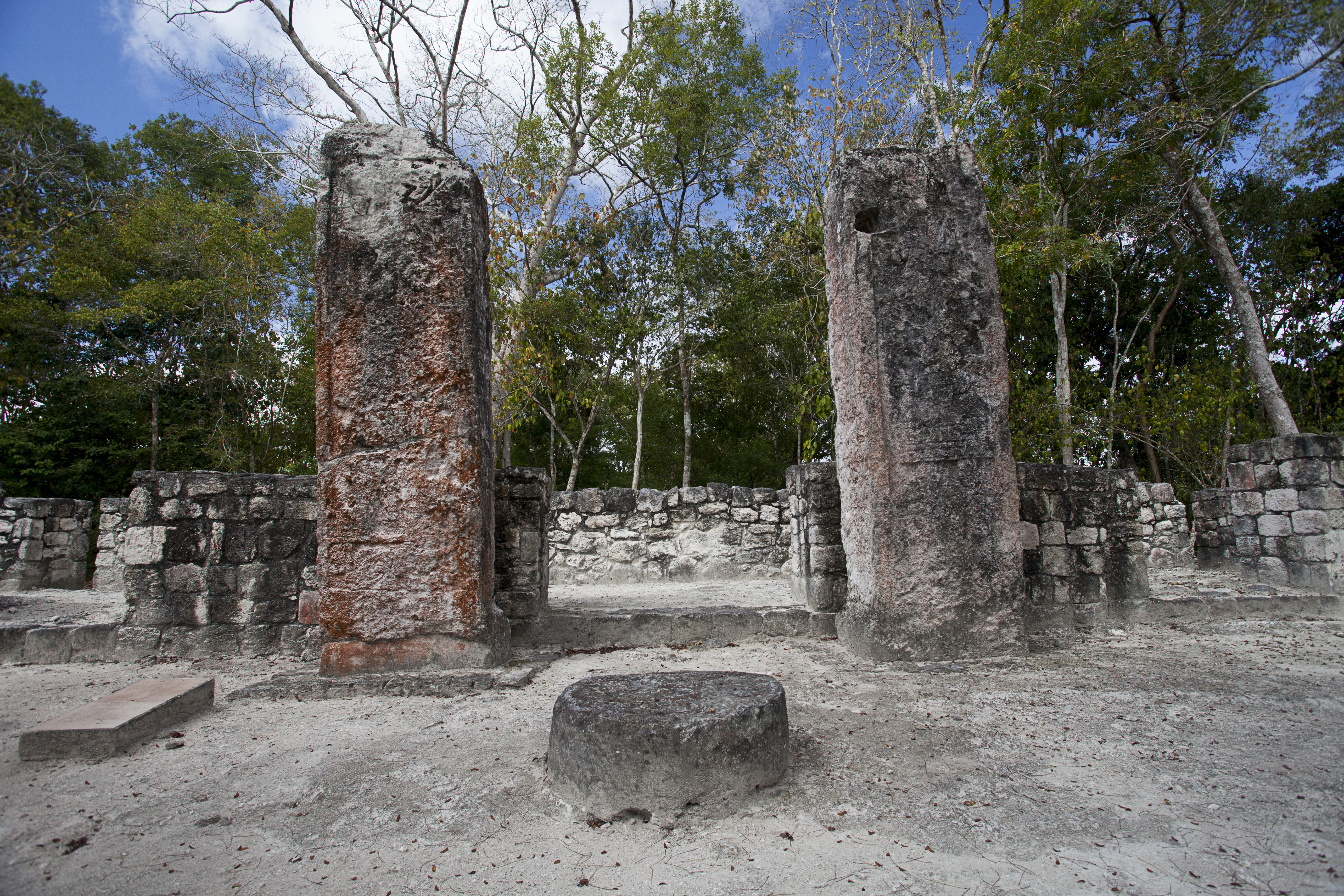
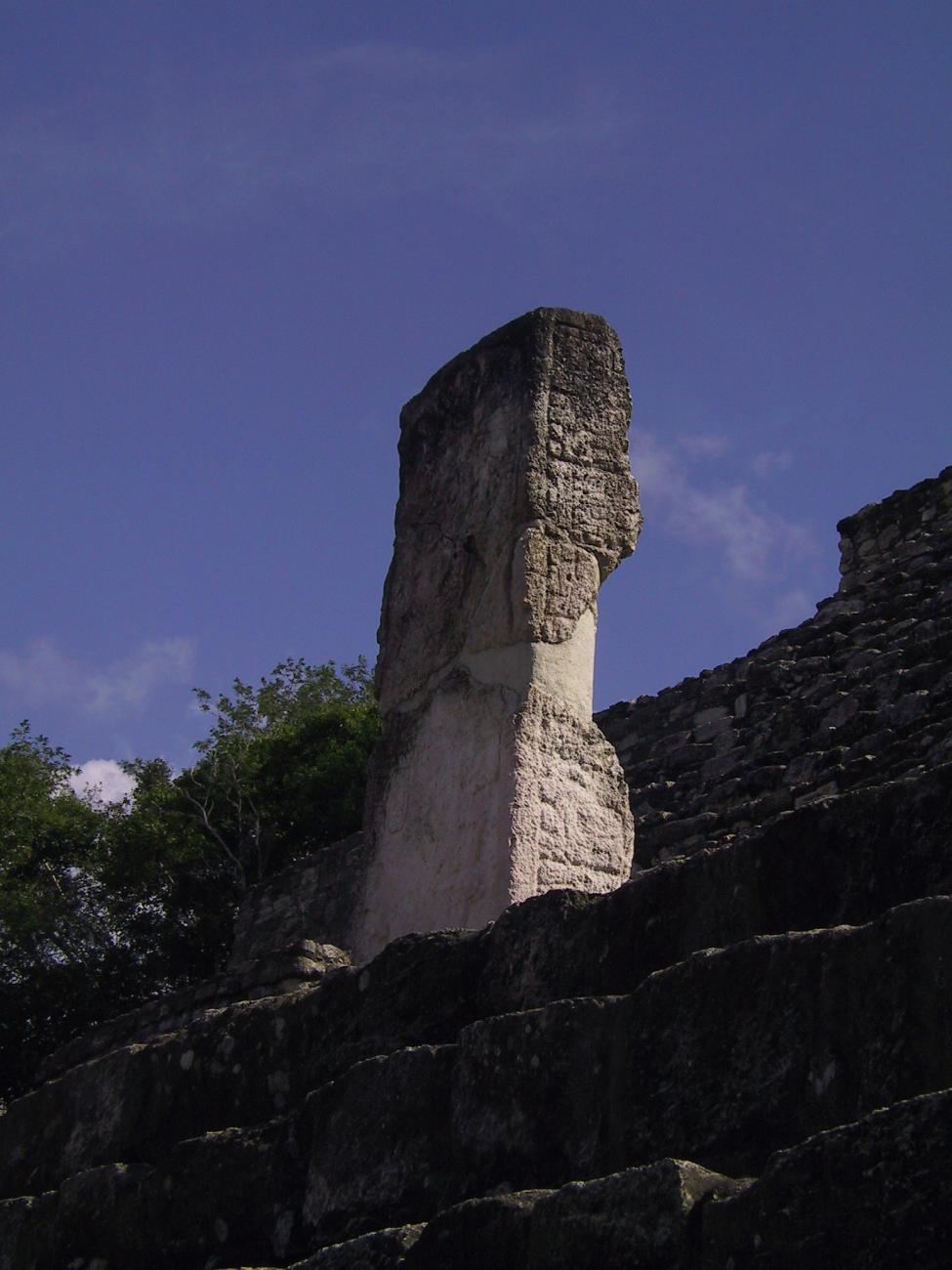
The success in deciphering the Maya hieroglyphs, which owes so much to the groundbreaking work of the Russian scholar Yuri V. Knorosov (1922-1999), made it possible to reconstruct parts of this history. Calakmul is the Maya city with the largest number of stelae, with 120 in total; these recount the lives and deeds of kings, queens, princes and captains. Other allied or enemy cities confirm, or further specify, this information on their own stelae. The names and partial history of 18 kings of Calakmul have thus been revealed, such as the “Coiled Serpent” (Uneh Chan, 579-611 AD), “Yuknom the Great” (636-686 AD) and “Jaguar Claw” (Yich’ak K’aak’, 686-698 AD). We also now know that Calakmul had an emblem-glyph to indicate the extent of its territory (a serpent’s head) and two toponyms to refer to the center of the city: Ox Te Tun (“three stones”, in possible allusion to a mythical primordial fire), and Chiik Naab (“house of the water lily”).
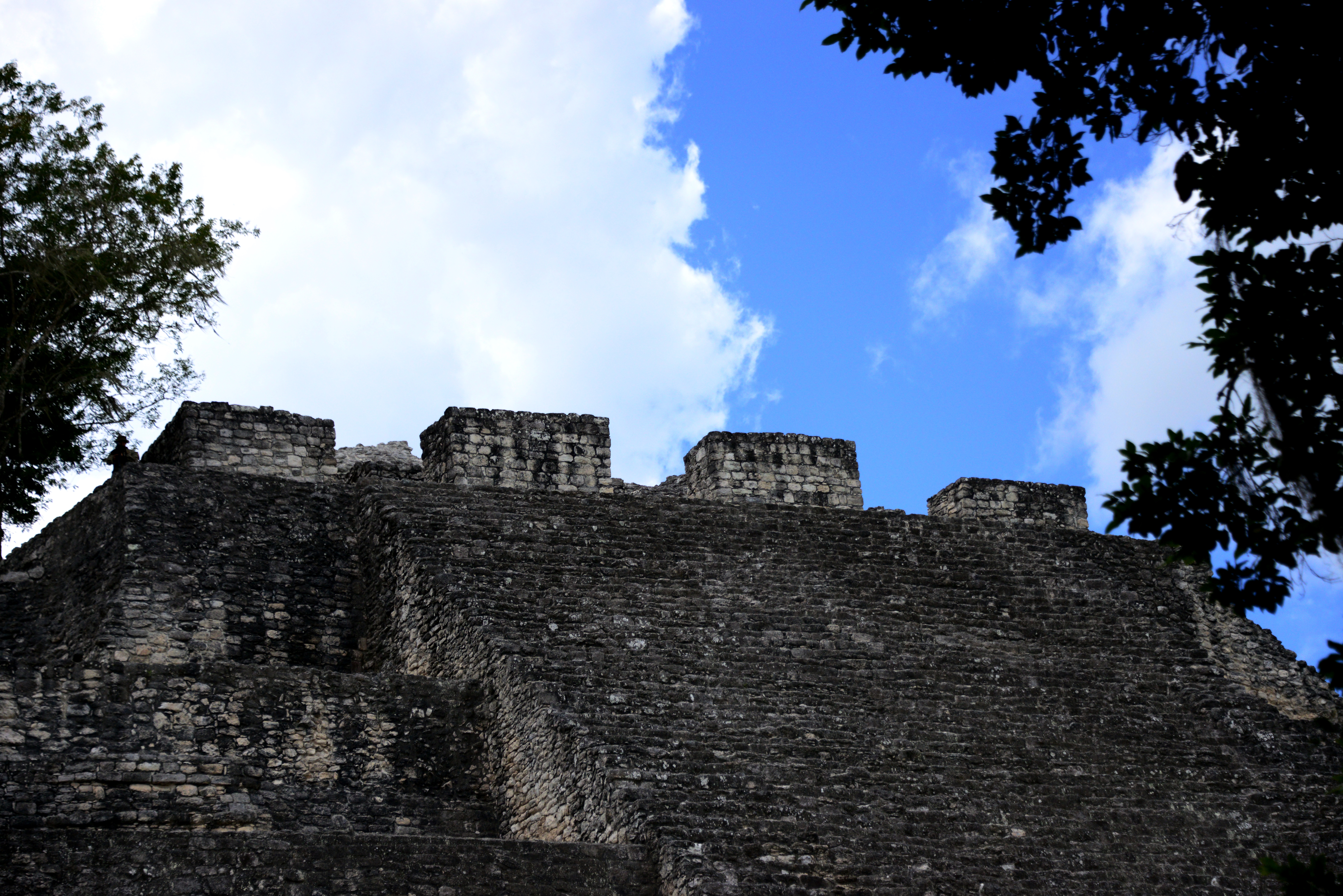
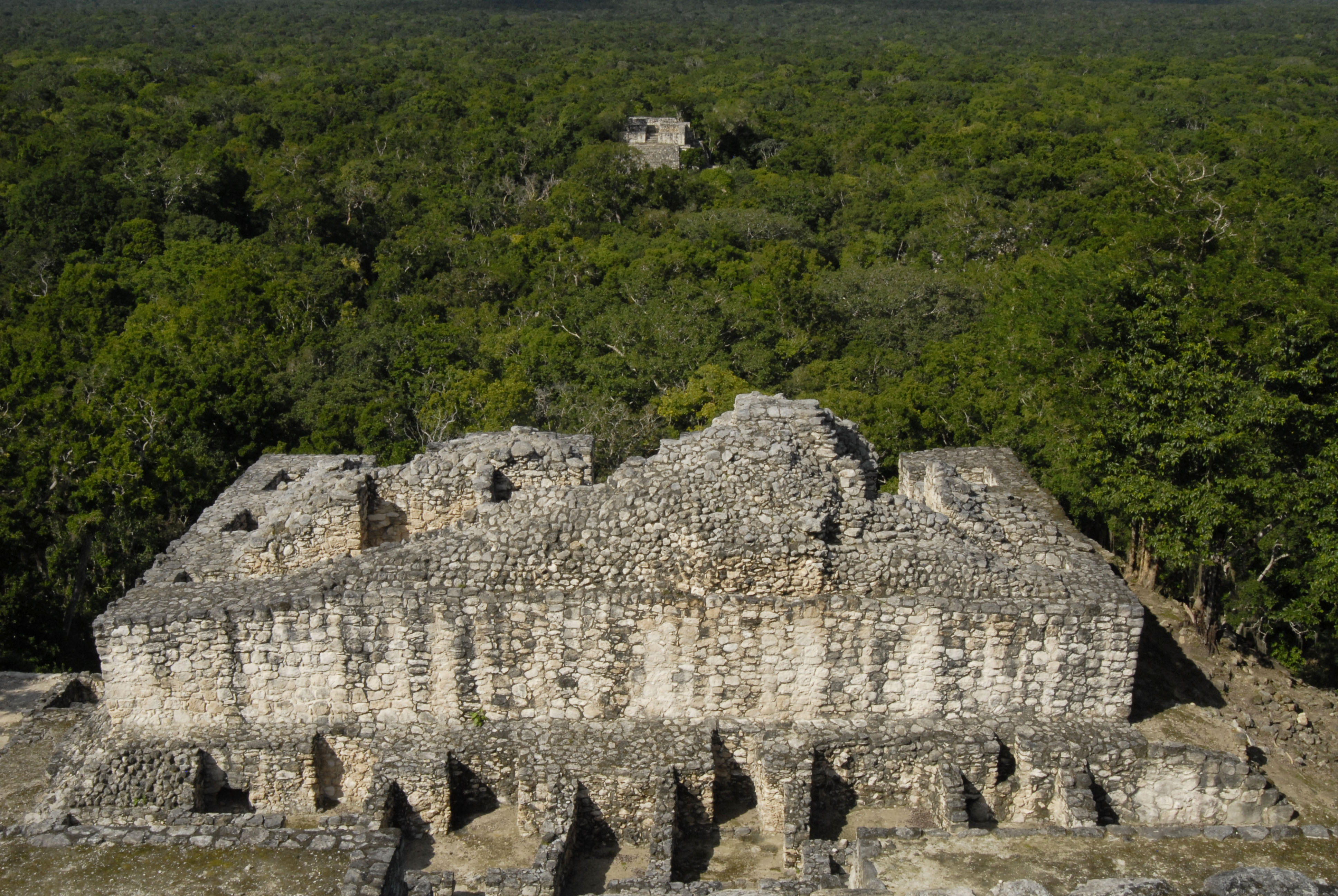
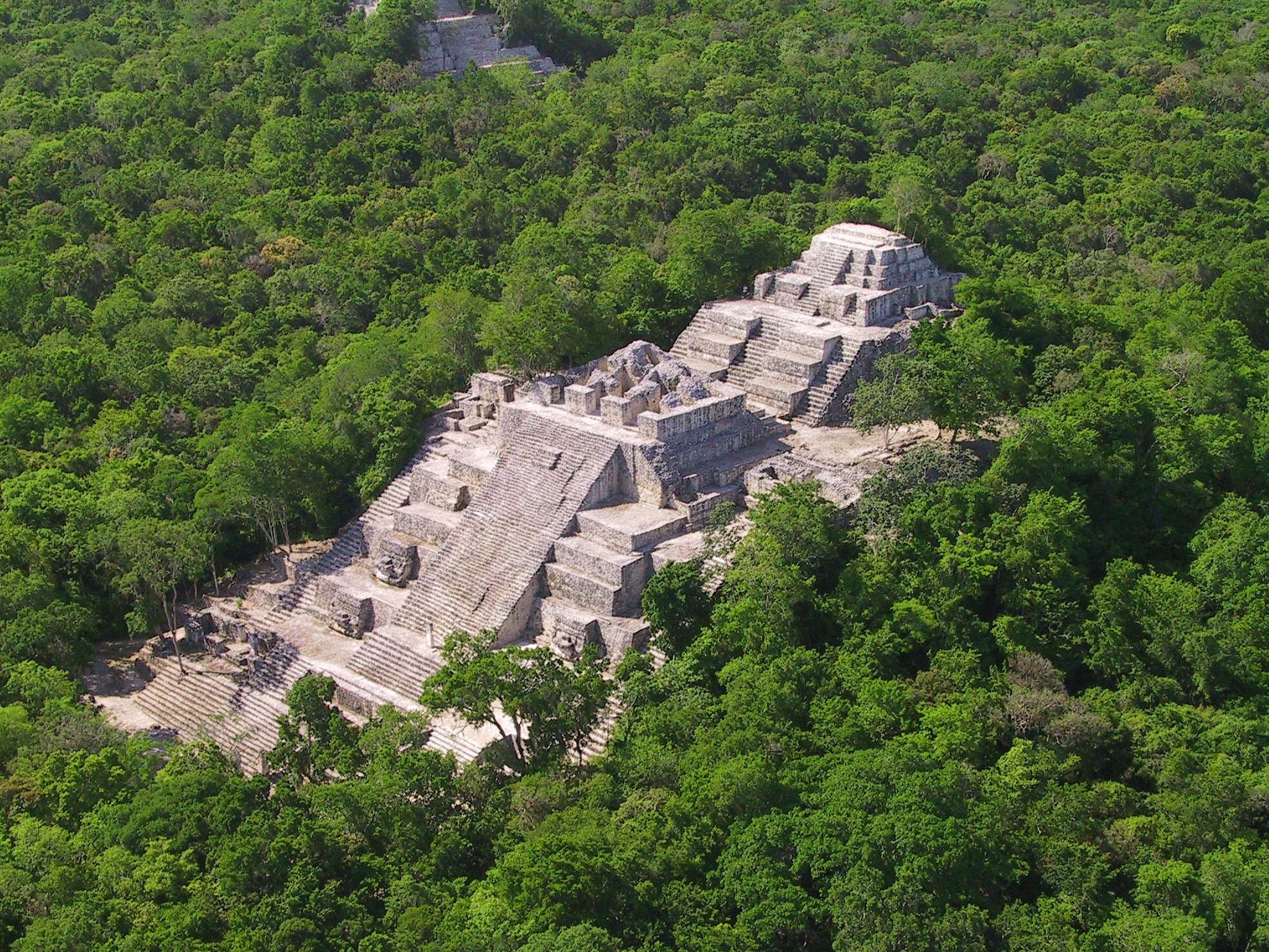
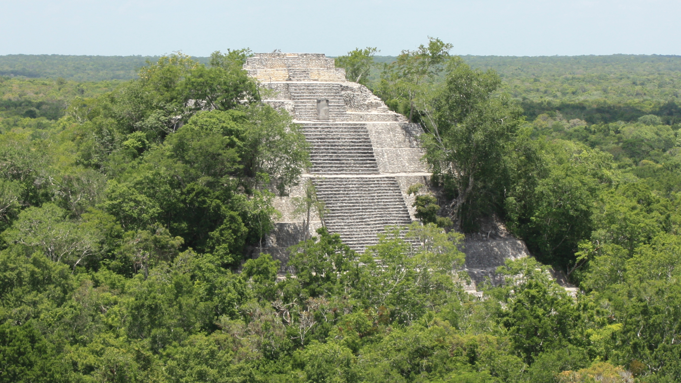
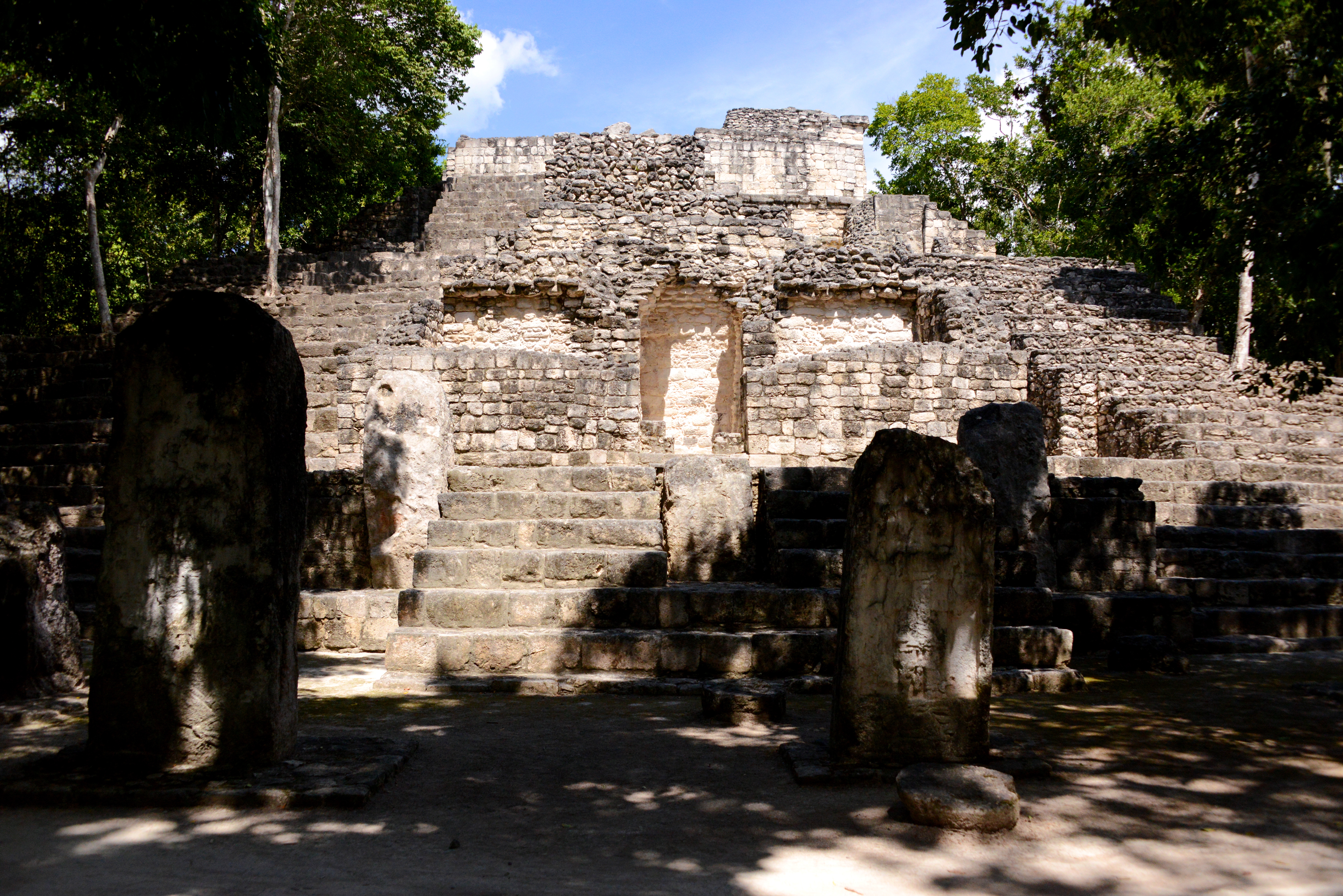
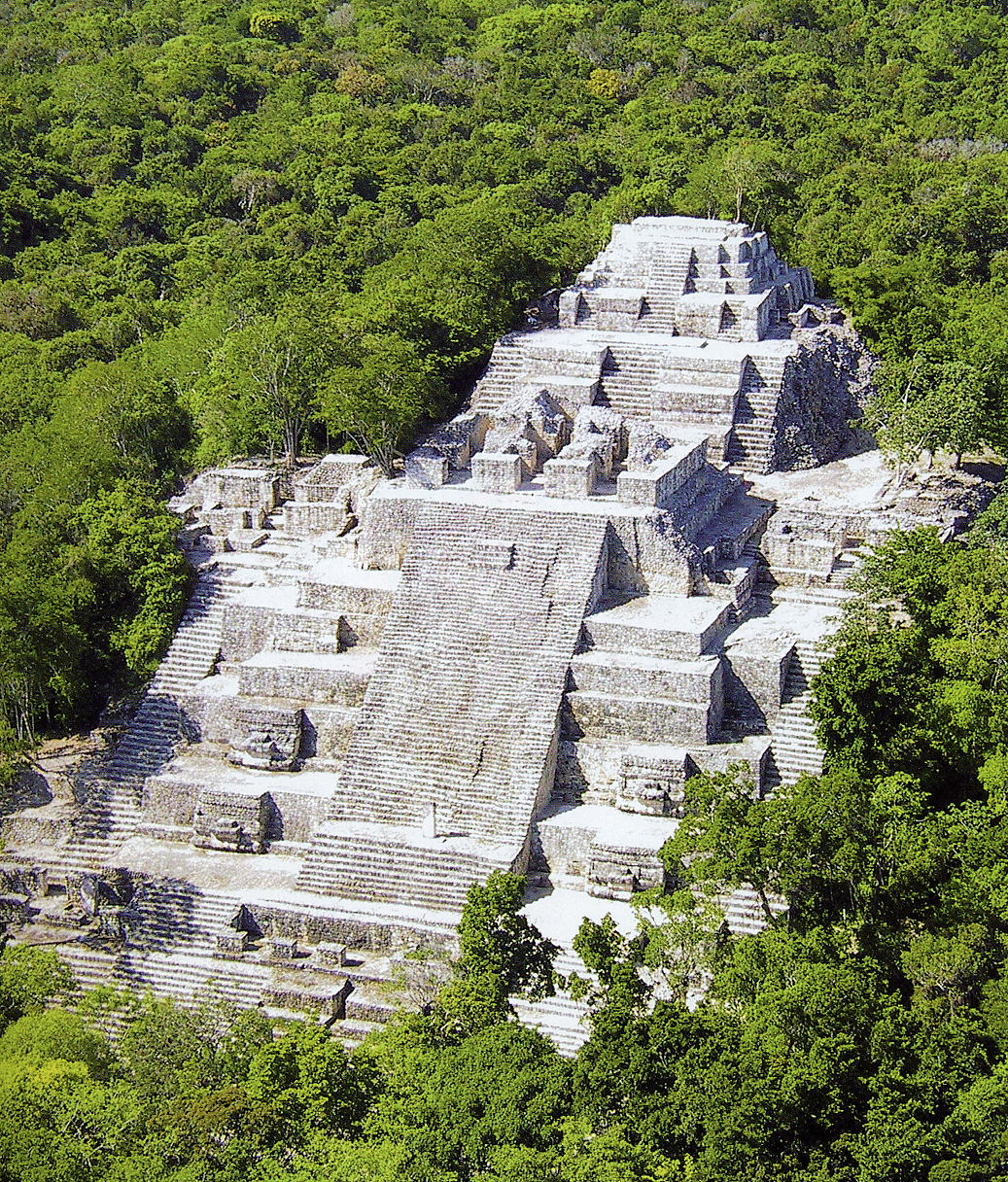
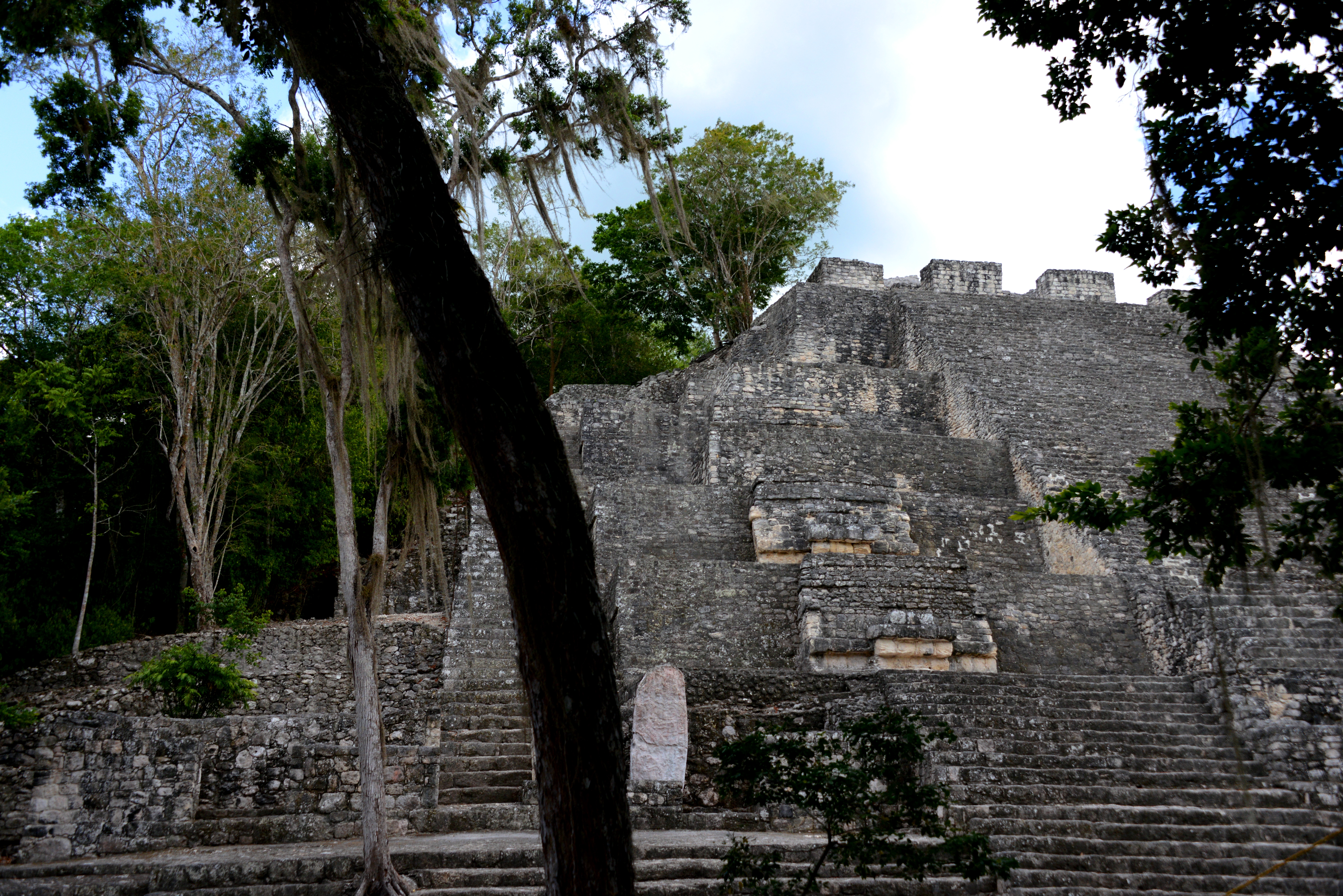
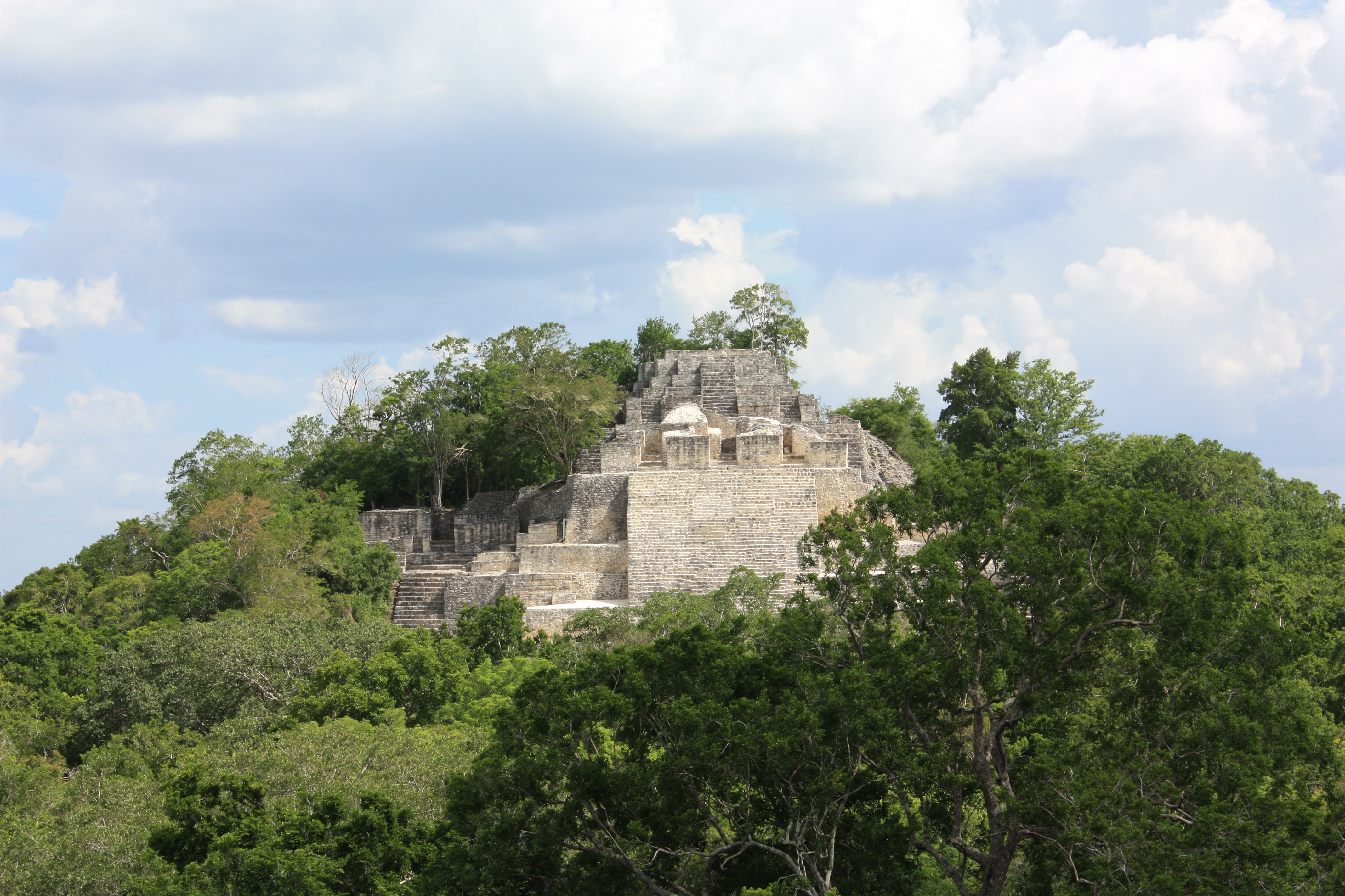
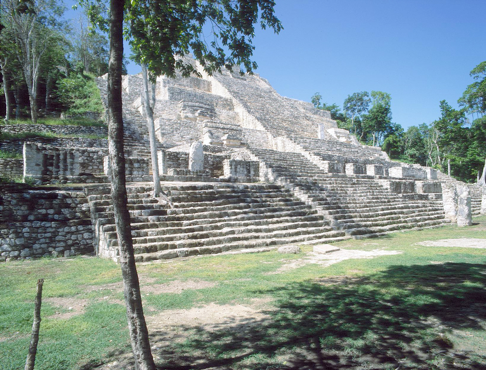
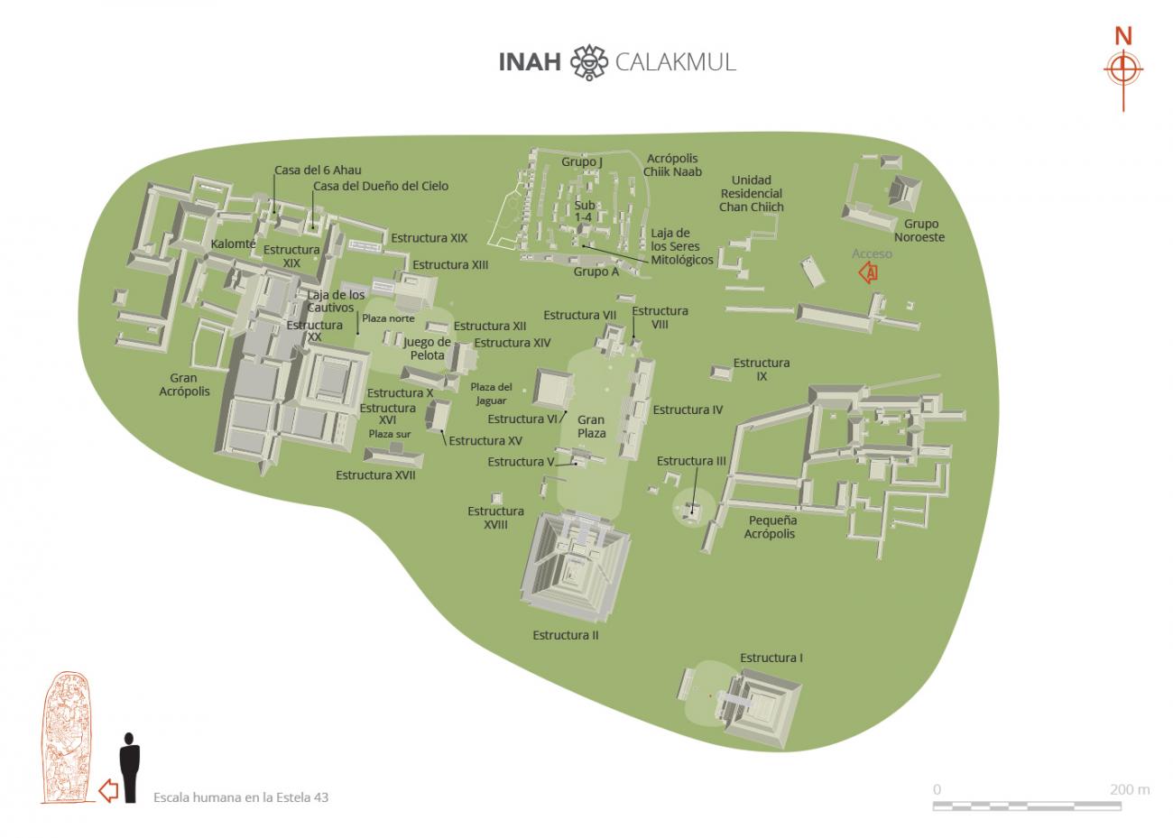
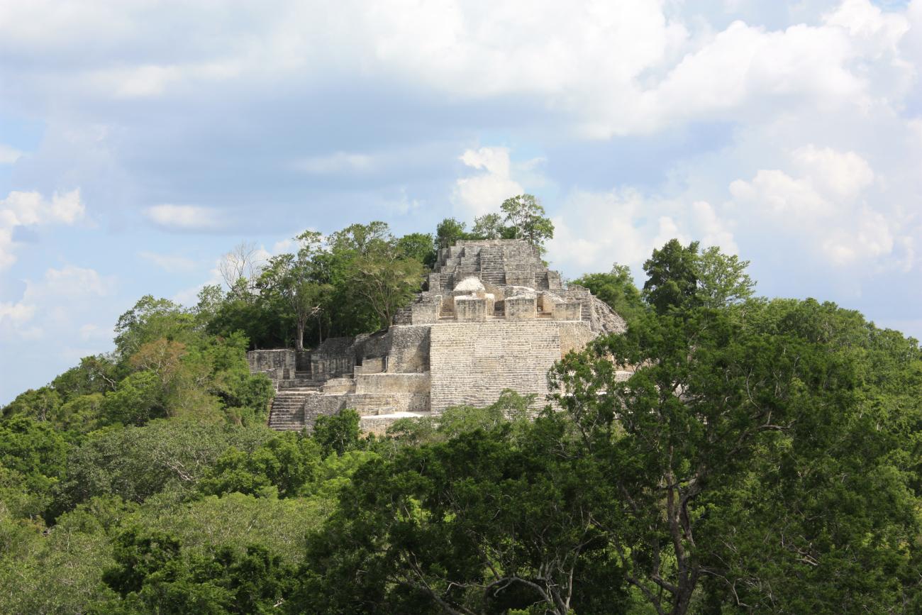
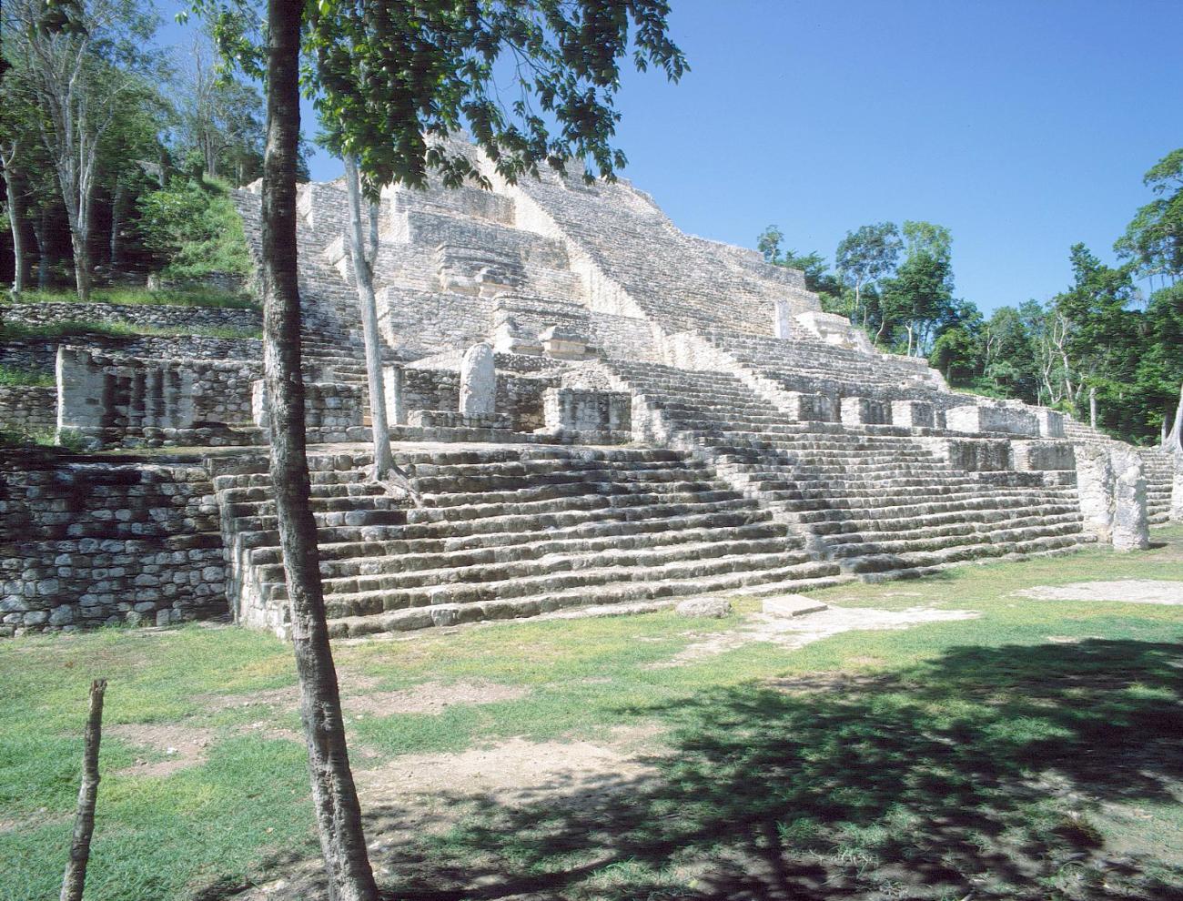
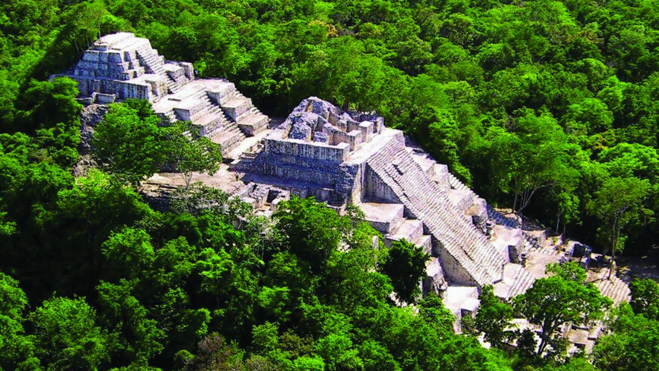
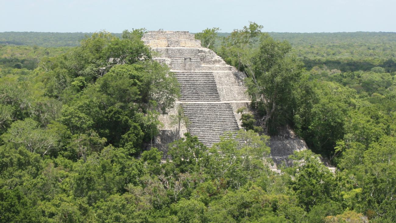
The archeological site of Calakmul contains five large complexes linked to the Grand Central Plaza, and these are interconnected by ancient roads known as “sacbes." The monumental Structure II is located on the south side of the Plaza—this is the second-highest Maya pyramid (at 180 feet high), after the one in Toniná, Chiapas. On the north side is Structure VII, with Structures III, IV and VI to the east, each one impressive and built to last in the Petén style. Some of the stelae date from the early period (400 BC) and others correspond to the period when the city flourished. They are veritable jewels of Maya art and contain a diversity of texts and accounts of the society that created them.
The Calakmul Biosphere Reserve was established in 1989. In 1993, it was registered as part of the UNESCO’s Man and the Biosphere Programme. In 2002, Calakmul was listed as a World Heritage Site by the same organization, and this designation was broadened in 2014 to become a Mixed Natural and Cultural Heritage Site.
Plaza Central
This plaza represents the axis of the city and is formed by six structures arranged around it. Most of them were built during the Late Classic and Terminal Classic periods.Structure I: Structure I is the second largest building in Calakmul, and is located southeast of Structure II. It is a building…
Plaza Central

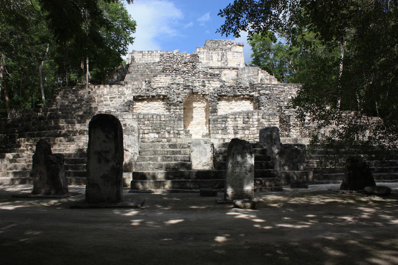
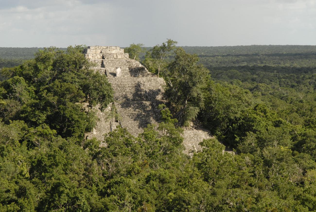


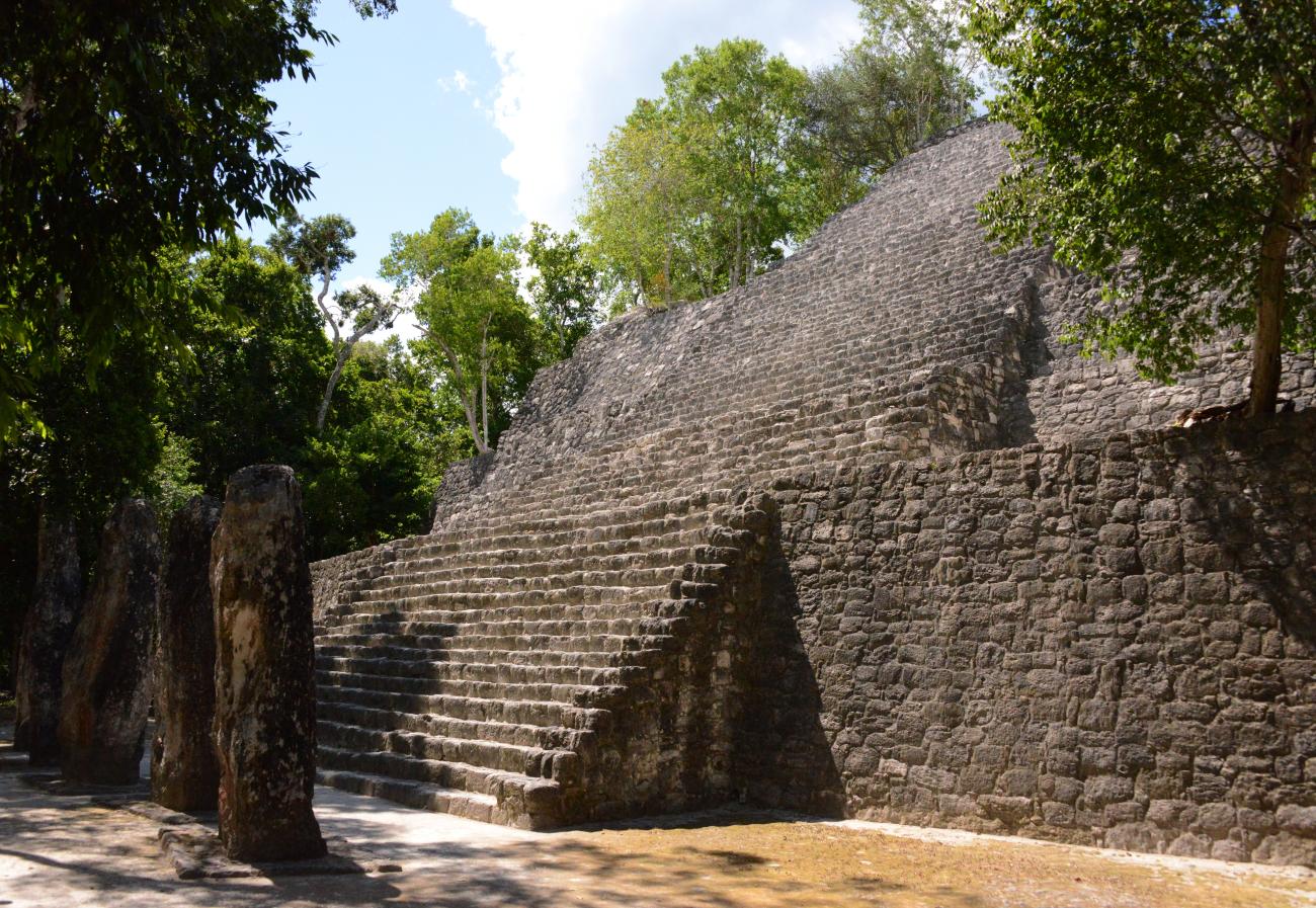
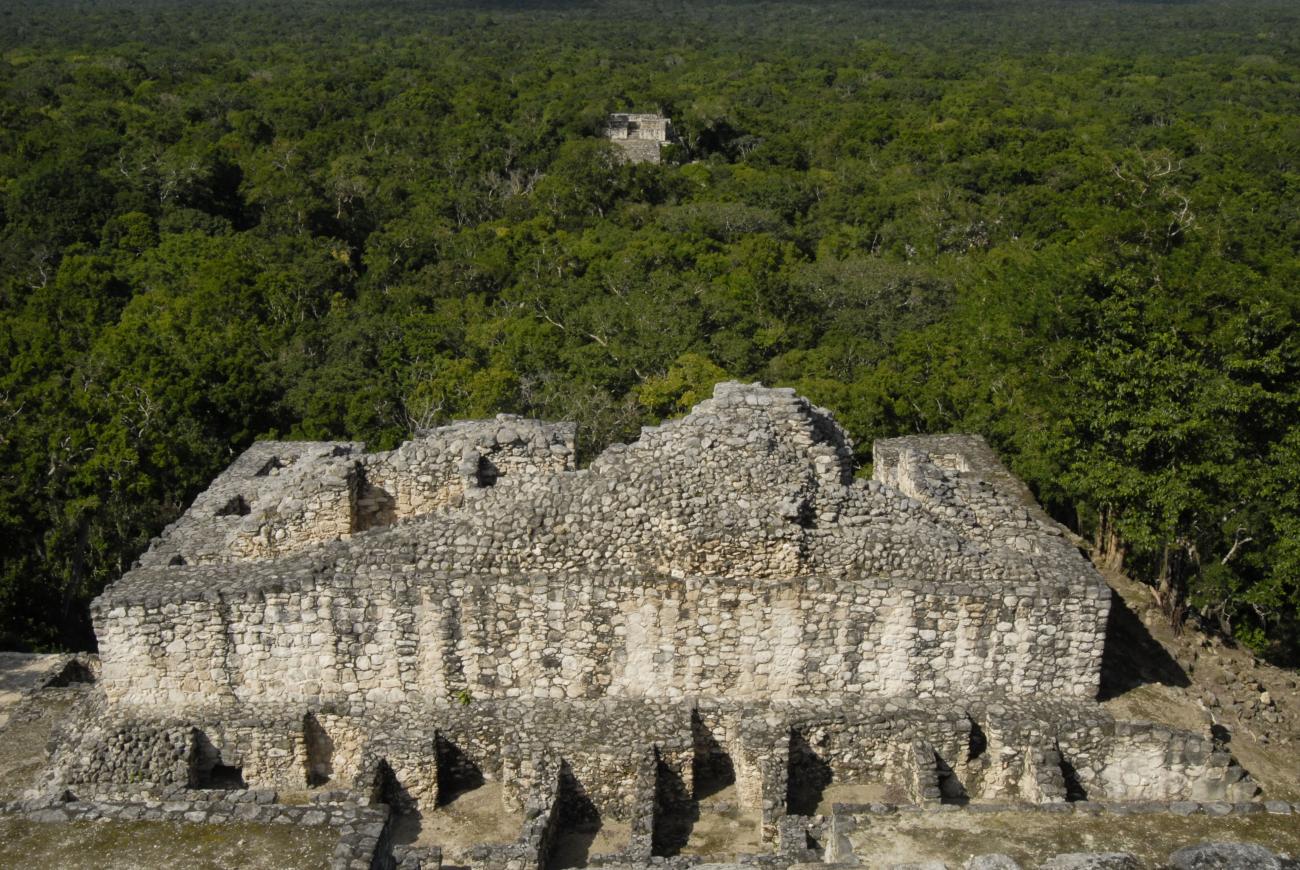
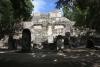
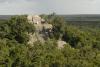
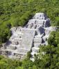
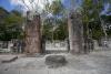
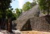
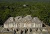
This plaza represents the axis of the city and is formed by six structures arranged around it. Most of them were built during the Late Classic and Terminal Classic periods.
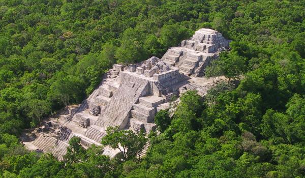
Structure I: Structure I is the second largest building in Calakmul, and is located southeast of Structure II. It is a building that, in its previous constructive stage, presents masks that flank its stairway. This building is associated to a solar cult due to its orientation, in addition to not being in front of any object of greater size, natural or artificial, that obstructs the visual in straight line between the horizon and the sunset.
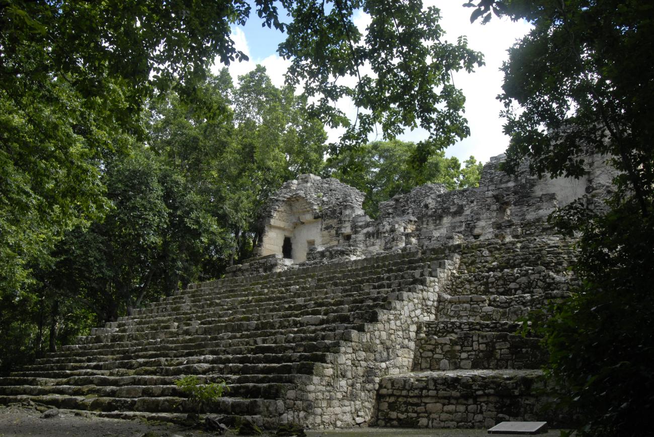
Structure II: To the south of the Central Plaza is located the most important building in Calakmul, Structure II, which is oriented to the north. Structure II evolved and gained height and volume; some of its remodeling was decorated with masks; its buildings became more complex and increased in number until it housed six structures on its summit. Its construction dates back to the earliest period of Calakmul's occupation; during the Early Classic (between 250 and 600 A.D.) the building was modified on two occasions: in the first, a new covering was added to the front portion of the structure; later, the construction of four buildings on the upper part responded to a change not only in the power structure, but also in new stylistic concepts in Maya architecture.
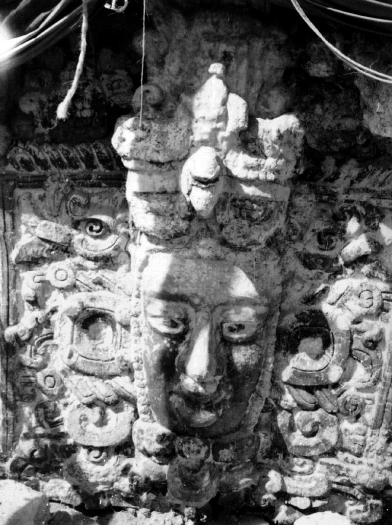
At the base of Calakmul's Sub II-c structure, two masks of 4 m high and 5 m wide were placed, delimiting a stairway that gave access to a passageway covered with a barrel vault, with a lowered arch. The passageway is located in the central part of the architectural massif that forms Structure II.
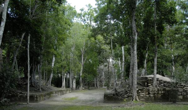
Structure VI: Structures IV and VI, located to the east and west of the plaza, form an early E-type complex. This type of complex had a layout that allowed observing the sunrise at different times of the year, mainly solstices and equinoxes. Two structures are necessary to form an E-type complex. A not very high building, from where it is possible to observe the sunrise, in this case Structure VI, at a distance in which you will have a perfect view of the second building.
Gran Acrópolis
It is one of the most modified and urbanized areas of the city. In this complex, public, private and residential areas coexist with restricted areas. A wall, which is visible to the north of the Great Acropolis, limited, protected and sheltered the inhabitants of the complex. The residential zone…
Gran Acrópolis


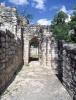
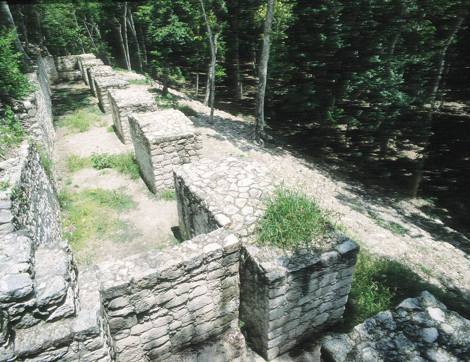
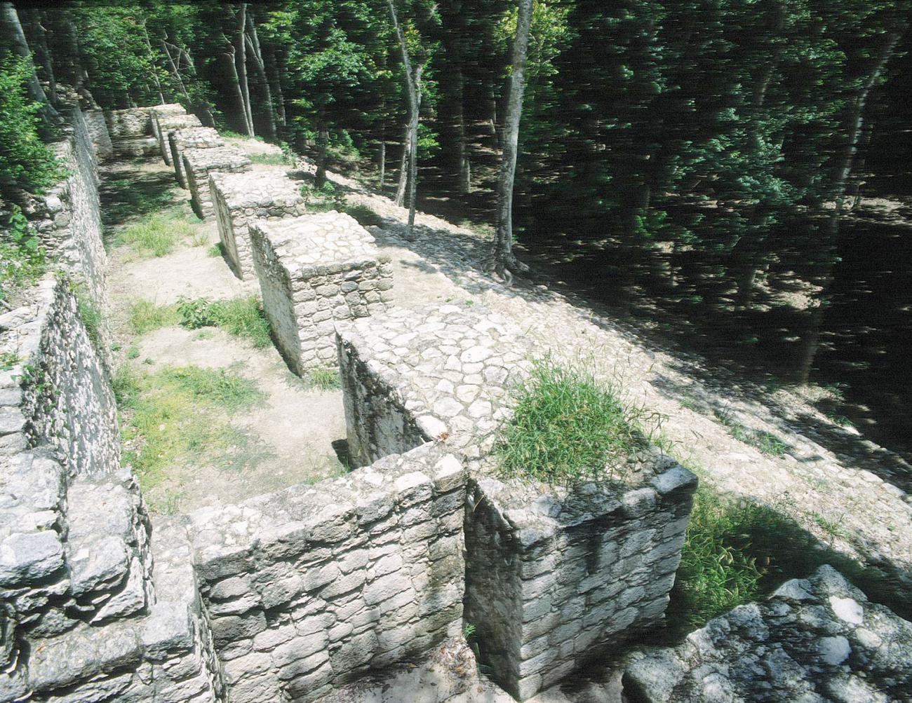
It is one of the most modified and urbanized areas of the city. In this complex, public, private and residential areas coexist with restricted areas. A wall, which is visible to the north of the Great Acropolis, limited, protected and sheltered the inhabitants of the complex. The residential zone of the Great Acropolis is located in an area of the limestone dome that begins to descend towards the shallows, forming a play with volumes and heights, as the volume of the structures increases in a north-south direction. To the north are located residential units such as the House of the Six Ajaw (Wak Ajaw Nah) and the House of the Owner of the Sky (Utsiaal Caan). Both complexes must have housed elite families. In Seis Ajaw there are rooms located around a patio, one of which communicates with an observation post or passage outside the wall.
Structure XI or Ball Court: Its shape and architectural arrangement is typical of a Late Classic construction (600 to 800). For its construction, materials from the demolition of an earlier building were used. Stela 66 was ritually sacrificed and one of its fragments has inscribed the date corresponding to the year 731, so it is assumed that this Ball Court was built in 751, when the ruler Bolon Kawil ascended to the throne of Calakmul.
Structure XIII: It is a construction with a pyramidal base of four bodies, preceded by a wide stairway on the south façade and crowned by a building of two levels that correspond, each one, to two different periods; the excavations in this part of the North Plaza have provided information on the ceremonial activities developed by its inhabitants.
Acrópolis Chiik Nahb (Acrópolis Norte)
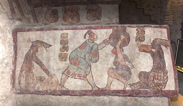
For a time it was attributed the function of market by the presence of low platforms; however, the most recent explorations refer that these buildings were decapitated and that it was not its original form. The importance of this Acropolis lies in the presence of an exquisite mural painting. Group…
Acrópolis Chiik Nahb (Acrópolis Norte)


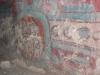
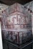
For a time it was attributed the function of market by the presence of low platforms; however, the most recent explorations refer that these buildings were decapitated and that it was not its original form. The importance of this Acropolis lies in the presence of an exquisite mural painting. Group A is an elongated basement containing not very tall buildings that delimits the complex to the south, as if it were a portico. In an earlier construction stage, mural painting was identified on an elongated sidewalk that overlooks the outside of the complex. In this painting aquatic motifs can be observed, as well as the Chiik Nahb glyph, which gives its name to the Acropolis.
The main and tallest building of this Acropolis, Structure I, oriented towards the south, is located in Group I and shelters in its interior the Substructure Sub I-A. The latter is radial in shape, profusely decorated with murals depicting richly attired people participating in some social event. The structure was arranged to be observed from all angles of the Acropolis. To the south of this structure is located a small plaza of the Slab of Mythological Beings, a rocky outcrop that has three mythical characters sculpted on it. The other groups show apparently decapitated structures, except for groups J and K, which are not explored. The latter delimits the Acropolis to the west and is perhaps the most elongated structure in the entire city.
It shows two successive architectural phases that correspond to the transition between two critical periods of the history of Calakmul; it presents a remodeling, around the year 672, which probably coincides with the death of the characters buried in the three burial chambers found in this building, one of them is the one that appears represented and named in Stela 79 and that could be the mother of the ruler Garra de Jaguar, who ruled Calakmul from the year 649 to the beginning of the years 700 AD.

Flora and fauna were essential in the everyday life of the Maya of Calakmul






Contact
- Dirección del Centro INAHAdriana Velázquez Morletadriana_velazquezm@inah.gob.mx+52 (981) 816 9111Operación de Zonas Arqueológicas del Centro INAHCandelaria del Carmen Duarte Patzarqueologicas.camp@inah.gob.mx+52 (981) 816 9111, ext.138016