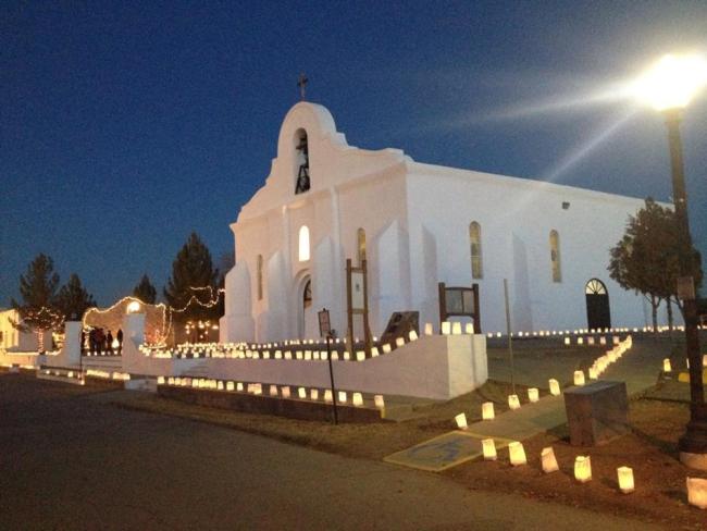

Distrito Histórico San Elizario
Set on a section of El Camino Real de Tierra Adentro locally known as the Mission Trail at the point where the trail moves north from Mexico across the Rio Grande and into the United States, San Elizario remains a well-preserved portrait of more than 300 eventful years of frontier life.
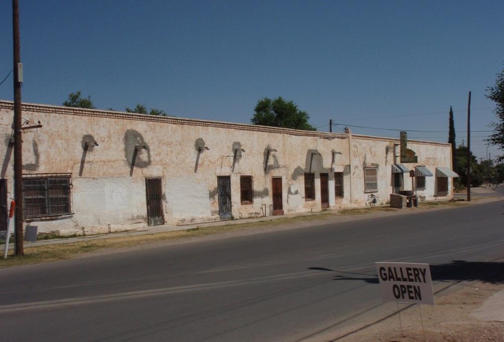
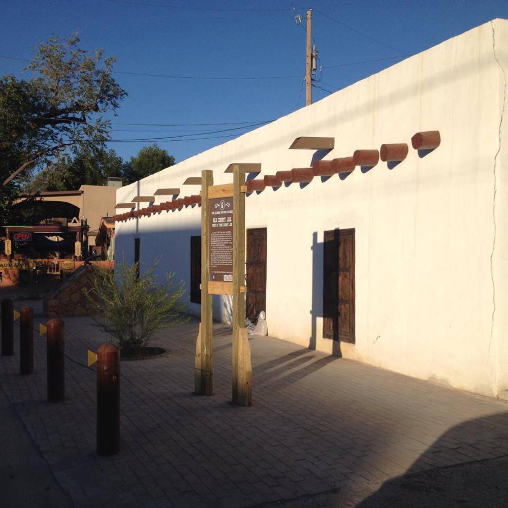
Many of the buildings in this area are constructed with adobe bricks salvaged from a presidio built in 1789 to protect the local residents and caravans from Apache raiders.
San Elizario is located on the southern bank of the Rio Grande, on the site of an 18th-century hacienda that was abandoned. There, the Spanish military fort San Elzeario, which was located about 64.37 kilometers away in Guajoquilla, was relocated. The fort is the origin of the town's name.
The fort's walls were twelve feet high and included a chapel, officers' quarters, soldiers' barracks, and more. This construction changed local building practices.
By the early 19th century, settlers, farmers, merchants, and Apaches participating in a military settlement program offering security, food, and provisions had also established themselves in the area.
After the victory of Independence, the military population began to decrease, but the civil community grew. It was not until the late 18th century that San Elzeario began to emerge as a trading point.
After two devastating floods, the population started building on higher ground to prevent buildings and homes from being destroyed.
Once the Treaty of Guadalupe was signed, San Elzeario was renamed San Elizario, and Americanization led to a burst of commercial activity, making it the largest city in the lower El Paso valley and the county seat.