

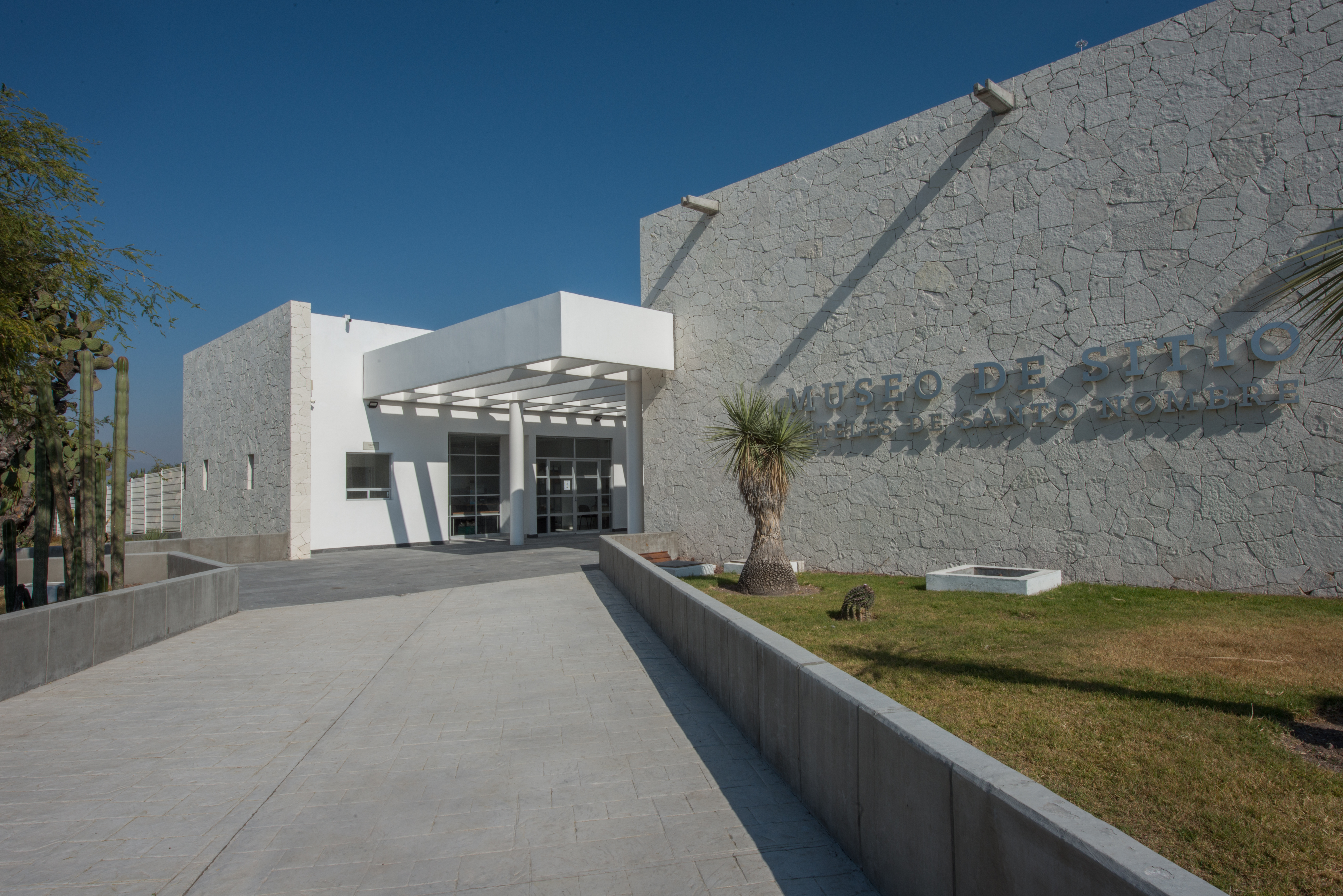








Museo de Sitio Teteles de Santo Nombre
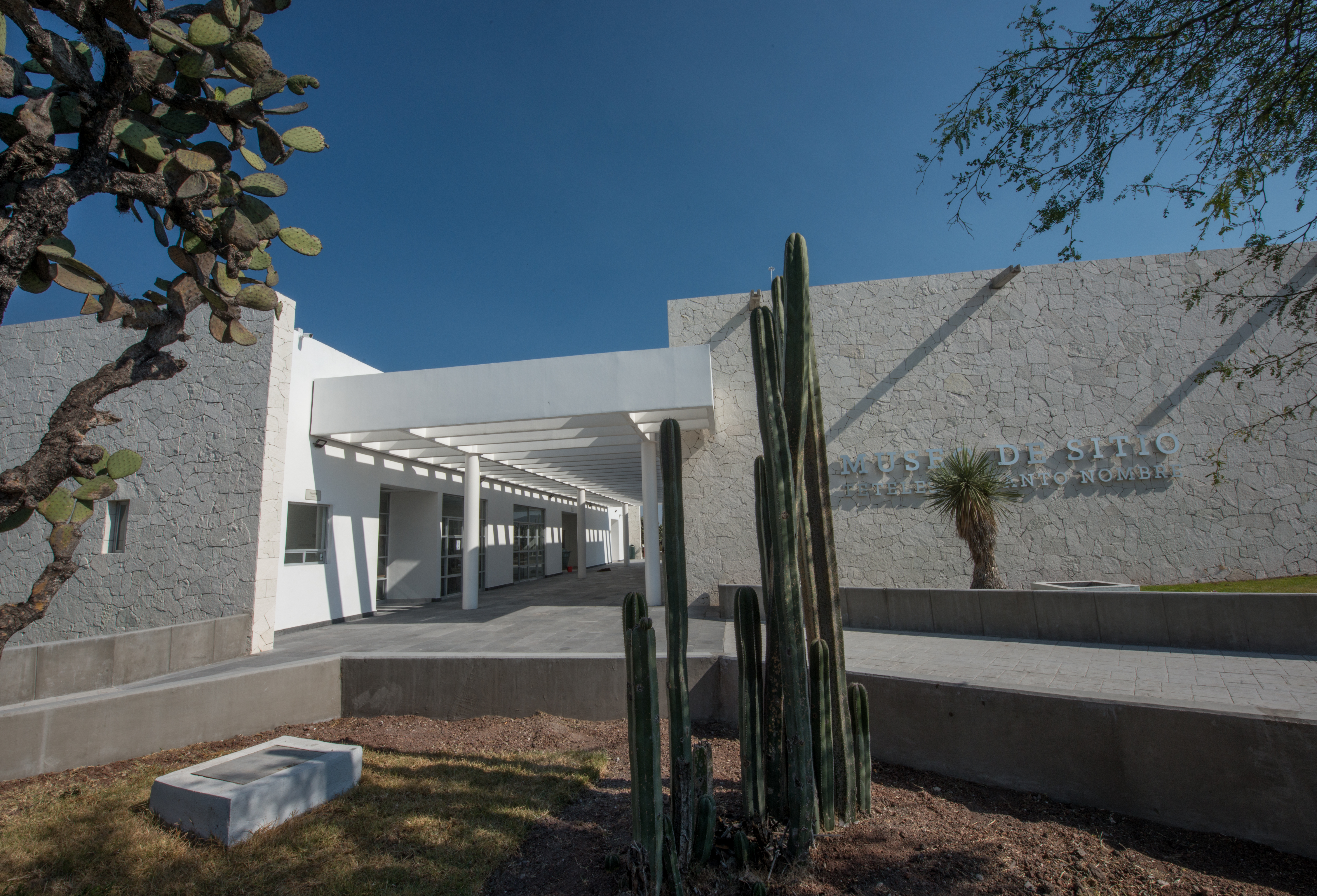
Teteles de Santo Nombre is the largest Pre-Hispanic city of the Tehuacan-Zucatlan region. The site museum displays part of the history of one of the most important urban settlements in the central region of Mexico from the Classic period.
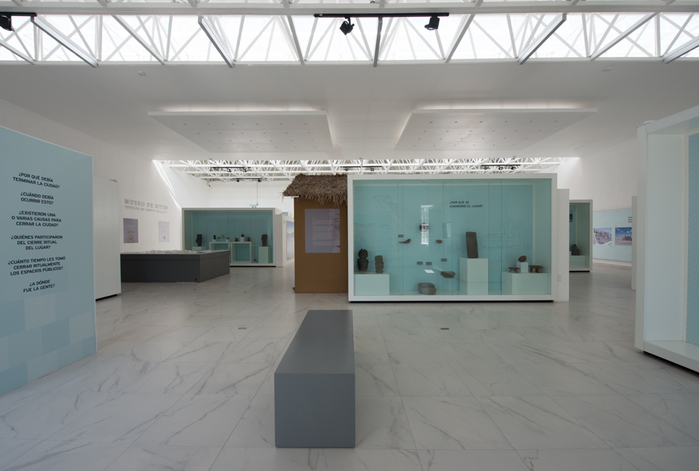
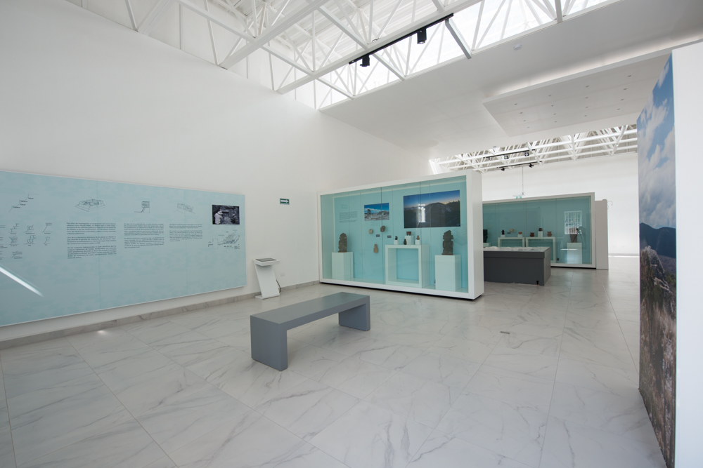
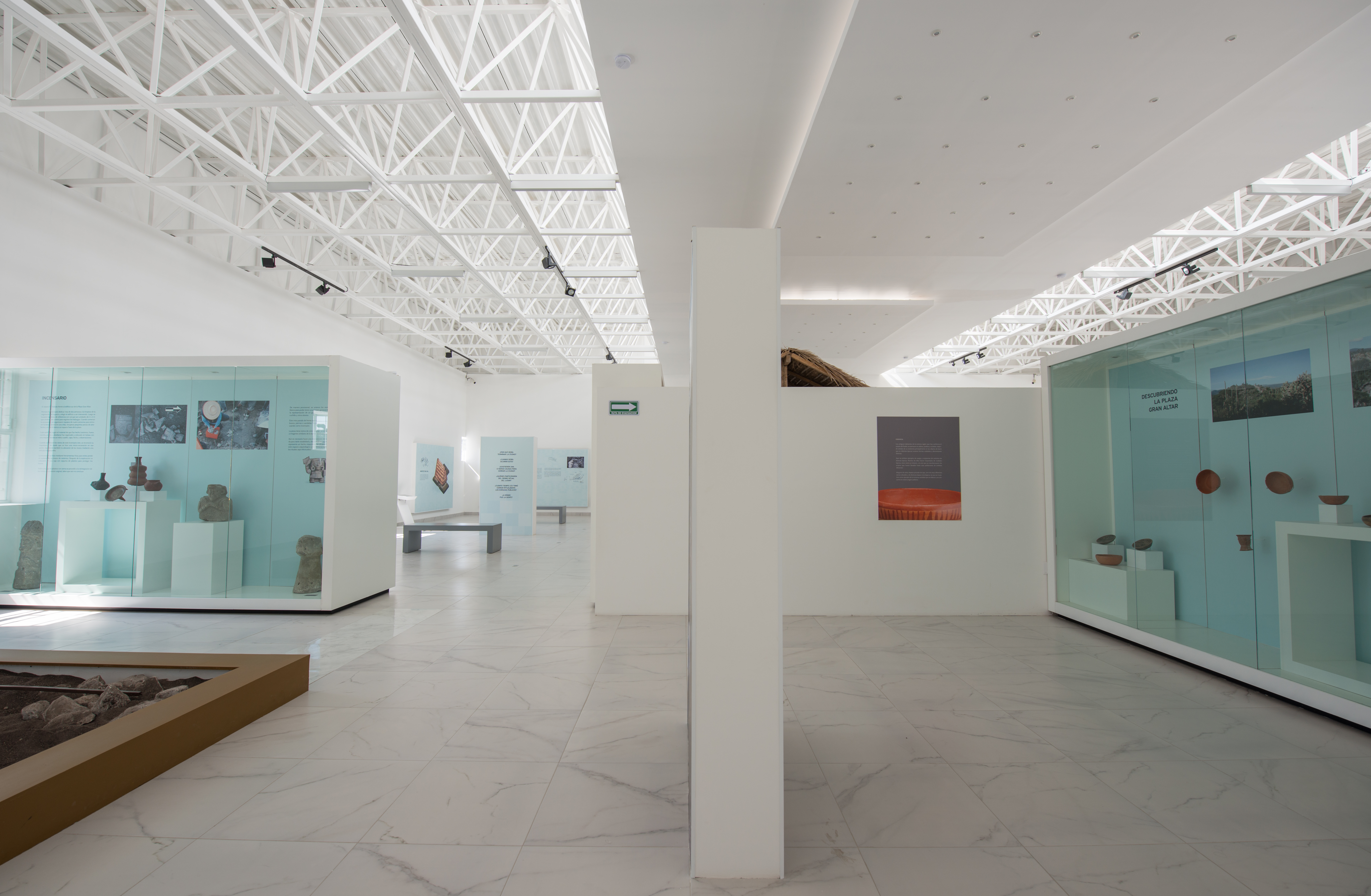
The museum gives a general overview of the development of the ancient towns in the Tehuacan-Zucatlan region. Although the city was occupied for 1,000 years, the exhibition space includes eight galleries emphasizing the period in which it flourished, from 400 to 650 AD.
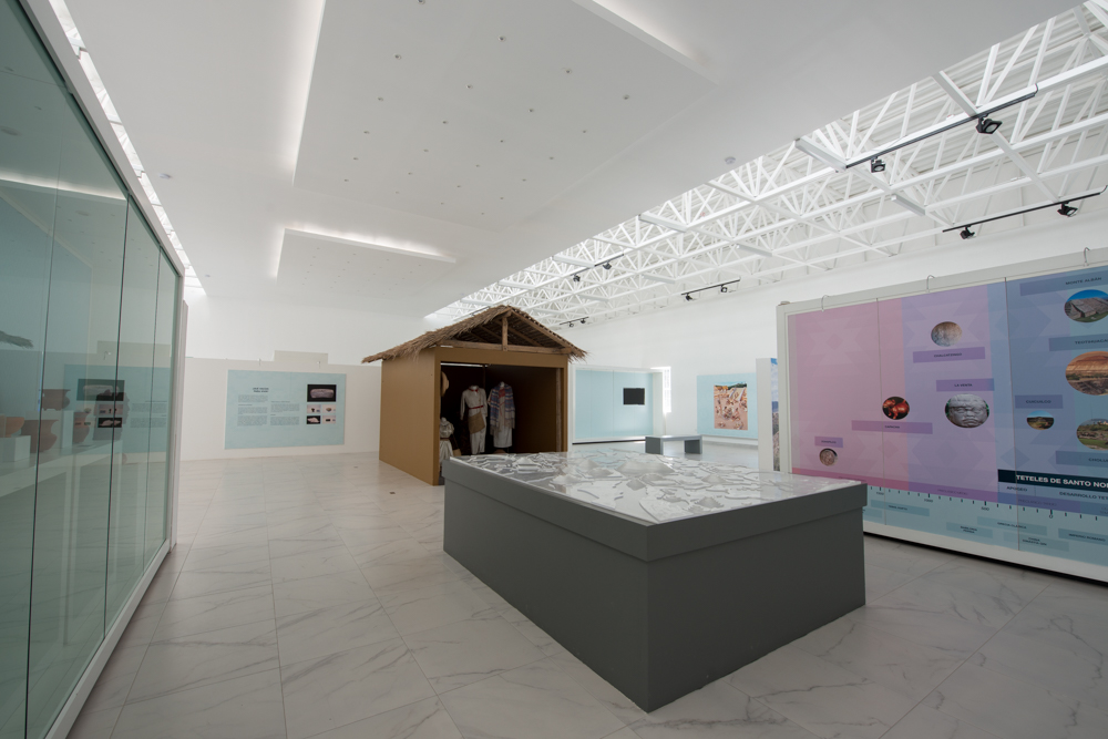
The first gallery provides an introduction. The second looks at the trading routes and the relationships between Teteles and other regions. The third looks at architecture, focusing primarily on the large monuments. The fourth is on everyday life, with an interesting hypothetical reconstruction of a house made from bahareque (sticks with a mud covering). The gallery connects with and incorporates an outdoor space where three dwelling areas were found during recent excavations.
The fifth gallery has an audiovisual on the history and features of the pre-Hispanic site. The sixth covers religion, highlighting the process of closing down the city. The archeologist Blas Castellón explains that before abandoning Teteles, the inhabitants carried out a closure ritual. They destroyed the objects and buildings, and then they buried everything with sand and earth. There are still doubts about why they did this, although it is thought that there was a natural cause or a connection to the productivity cycle. The seventh gallery describes the work of the archeologists on the site. The eighth looks at culture and identity, with a presentation on regional history, the historical background of Teteles with a thoughtful conclusion about caring for the cultural heritage of the pre-Hispanic peoples.
Archaeological Research
This room showcases a series of photographs documenting the work and results of three important archaeological seasons carried out at the "Teteles de Santo Nombre Archaeological Zone". The excavations were led by Dr. Blas Castellón Herta and the archaeological team of the "Teteles de Santo Nombre…
Archaeological Research
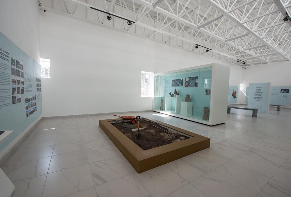
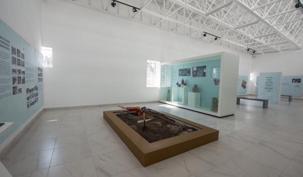
This room showcases a series of photographs documenting the work and results of three important archaeological seasons carried out at the "Teteles de Santo Nombre Archaeological Zone". The excavations were led by Dr. Blas Castellón Herta and the archaeological team of the "Teteles de Santo Nombre Archaeological Project" (PATSN). In 2009 and 2010, the "Plaza Gran Altar" complex was excavated, particularly the "Plataforma Sur" (2009) and "Caracoles" (2010) buildings, while in 2011, work focused on the "Fogones" Complex.
Thanks to these archaeological efforts, it has been possible to establish chronologies, understand the functions of these archaeological spaces, and generate knowledge about the social dynamics of the inhabitants of this important site between 450 BC and 650 AD.
A replica of an archaeological excavation grid is displayed to help visitors understand the context explored by the archaeologists.
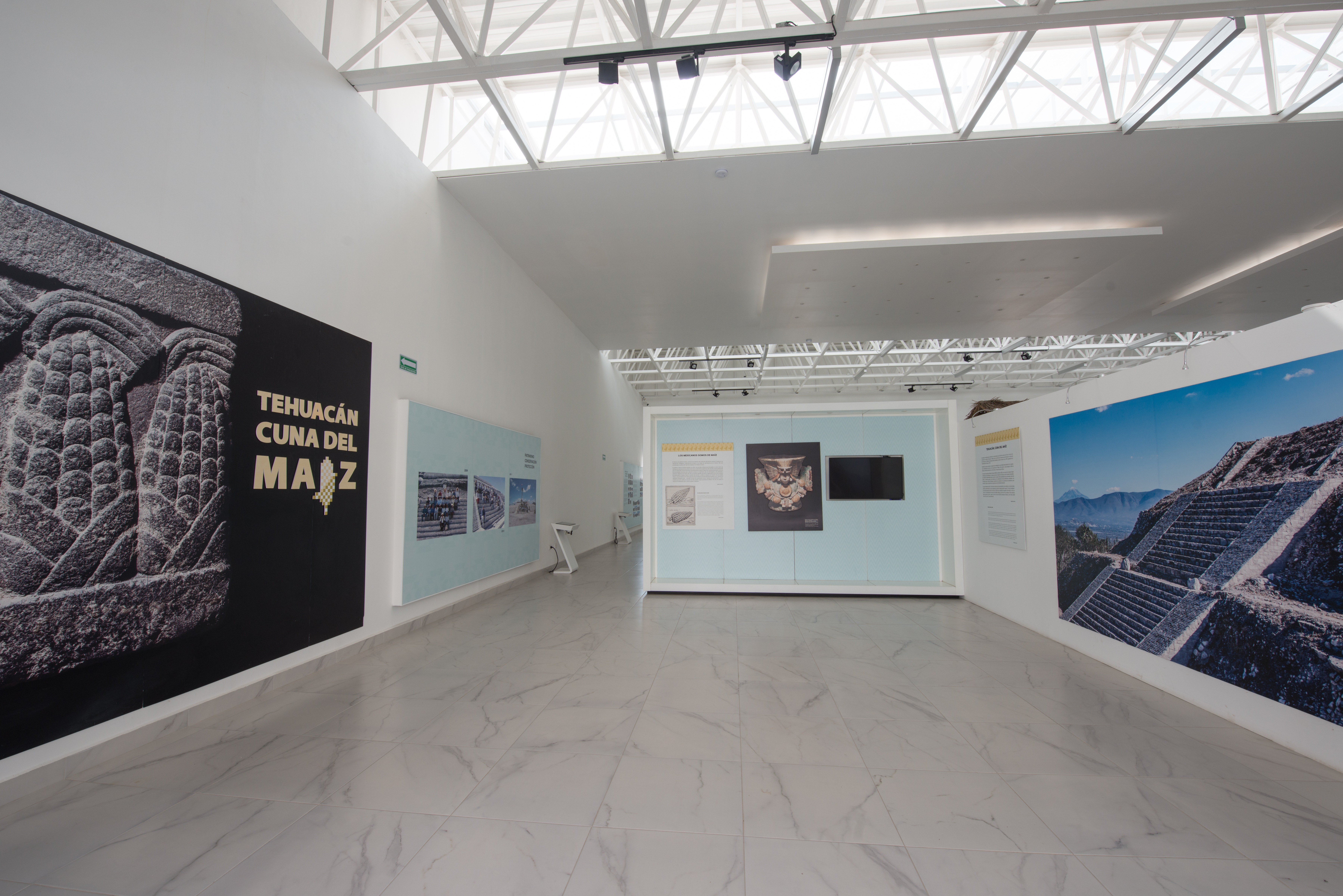
Temporary Exhibitions Room
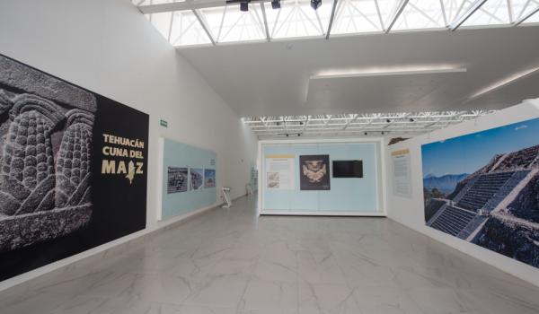
This room is dedicated to temporary exhibitions. Currently, it features information about the origin of maize and the emergence of agricultural societies in the Valley of Tehuacán.
Introduction
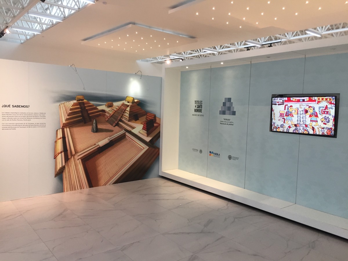
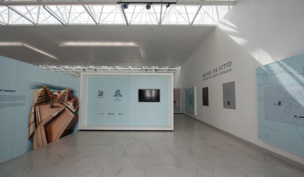
In this room, a general introduction to the Teteles de Santo Nombre Site Museum and Archaeological Zone is presented. The origin of the word Tetel (mound in Nahuatl) is explained, along with a large mural of the Plaza Gran Altar and relevant maps showing the settlement pattern of the archaeological…
Introduction
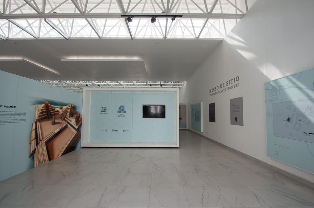
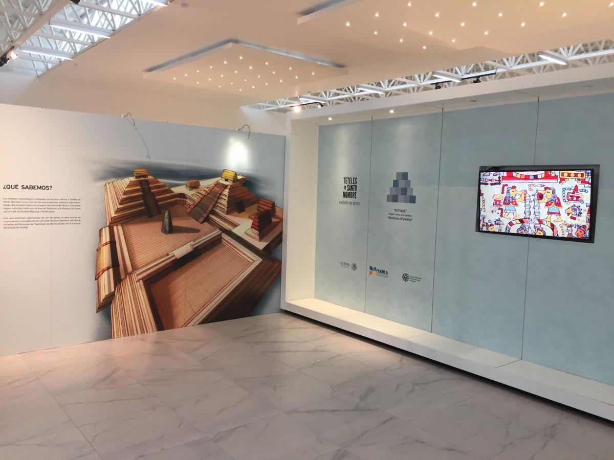

In this room, a general introduction to the Teteles de Santo Nombre Site Museum and Archaeological Zone is presented. The origin of the word Tetel (mound in Nahuatl) is explained, along with a large mural of the Plaza Gran Altar and relevant maps showing the settlement pattern of the archaeological zone.
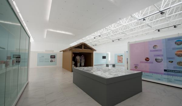
Trade Routes
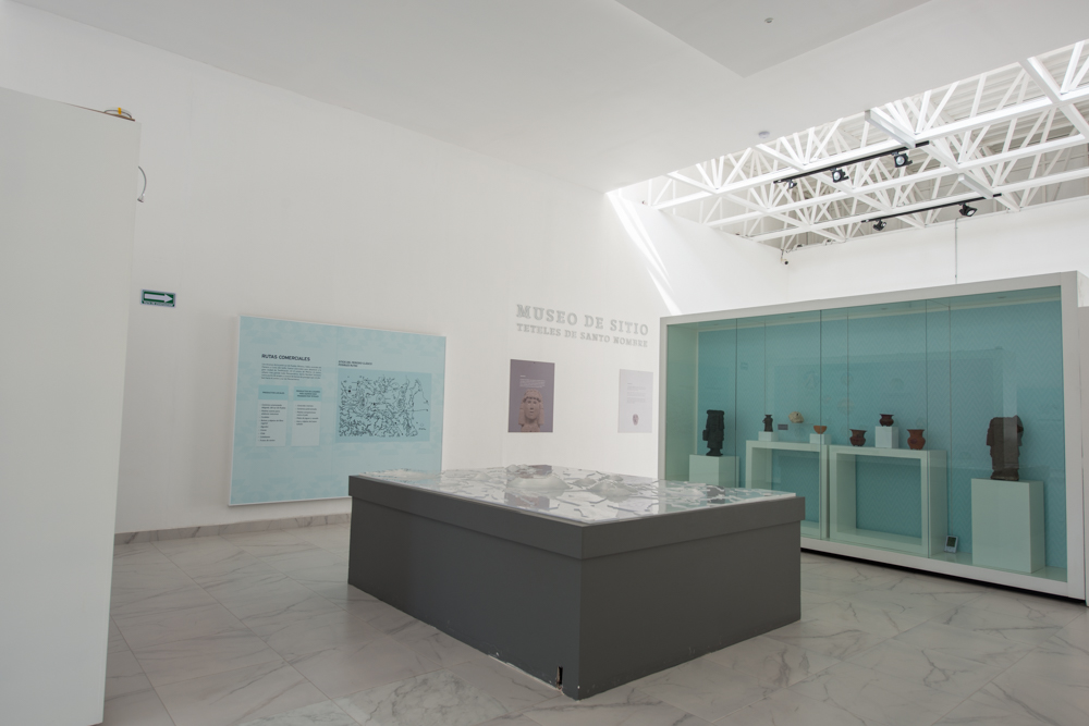
This room highlights the importance of the Archaeological Zone due to its strategic location on trade routes between Central Mexico and the Pacific and Gulf coasts. A timeline is also presented, displaying the chronology of "Santo Nombre" and comparing it with other major societies from Mexico and…
Trade Routes
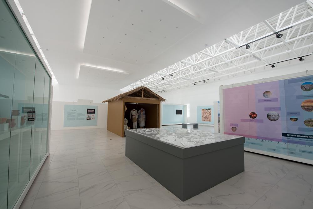
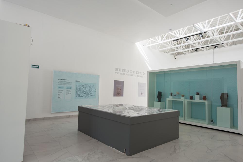

This room highlights the importance of the Archaeological Zone due to its strategic location on trade routes between Central Mexico and the Pacific and Gulf coasts. A timeline is also presented, displaying the chronology of "Santo Nombre" and comparing it with other major societies from Mexico and around the world.
A model is exhibited, resulting from the topographic work conducted by the PATSN in 2009, 2010, and 2011. The model shows over 25 archaeological structures (mostly mounds) that form the Archaeological Zone.
Architecture
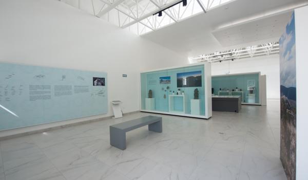
This room provides a detailed display of the civil and religious architecture of the site's archaeological complexes, as well as particular elements such as the "talud-tablero" (sloping walls and platform) style and residential units.
Religion - Ritual Abandonment
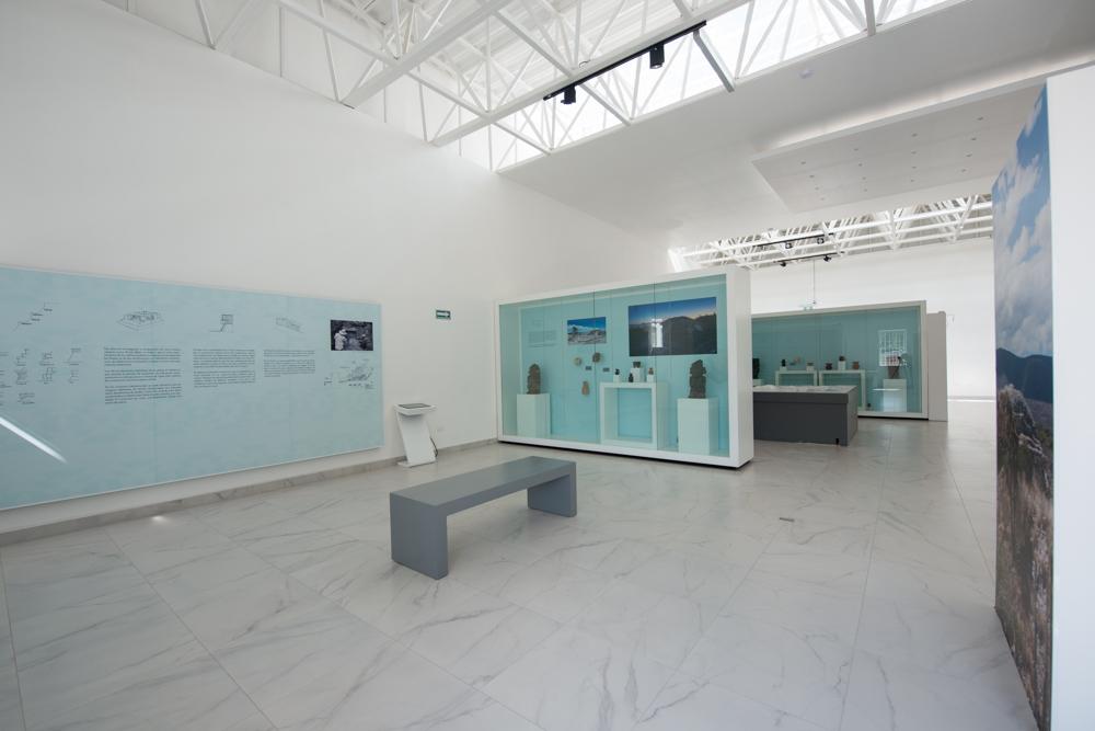
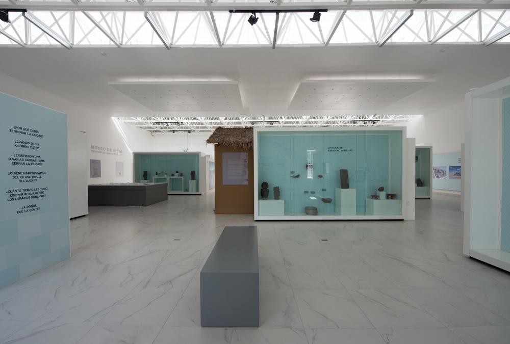
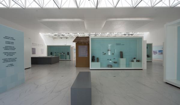
This room poses questions such as Why? regarding the abandonment of the city and its religious implications. A large mural depicts the ritual of abandonment and the destruction of the archaeological structures.
Document
- DirecciónGerardo Navarro Valenciagerardo_navarro@inah.gob.mx+52 (55) 3484 4117


