


Pahñú
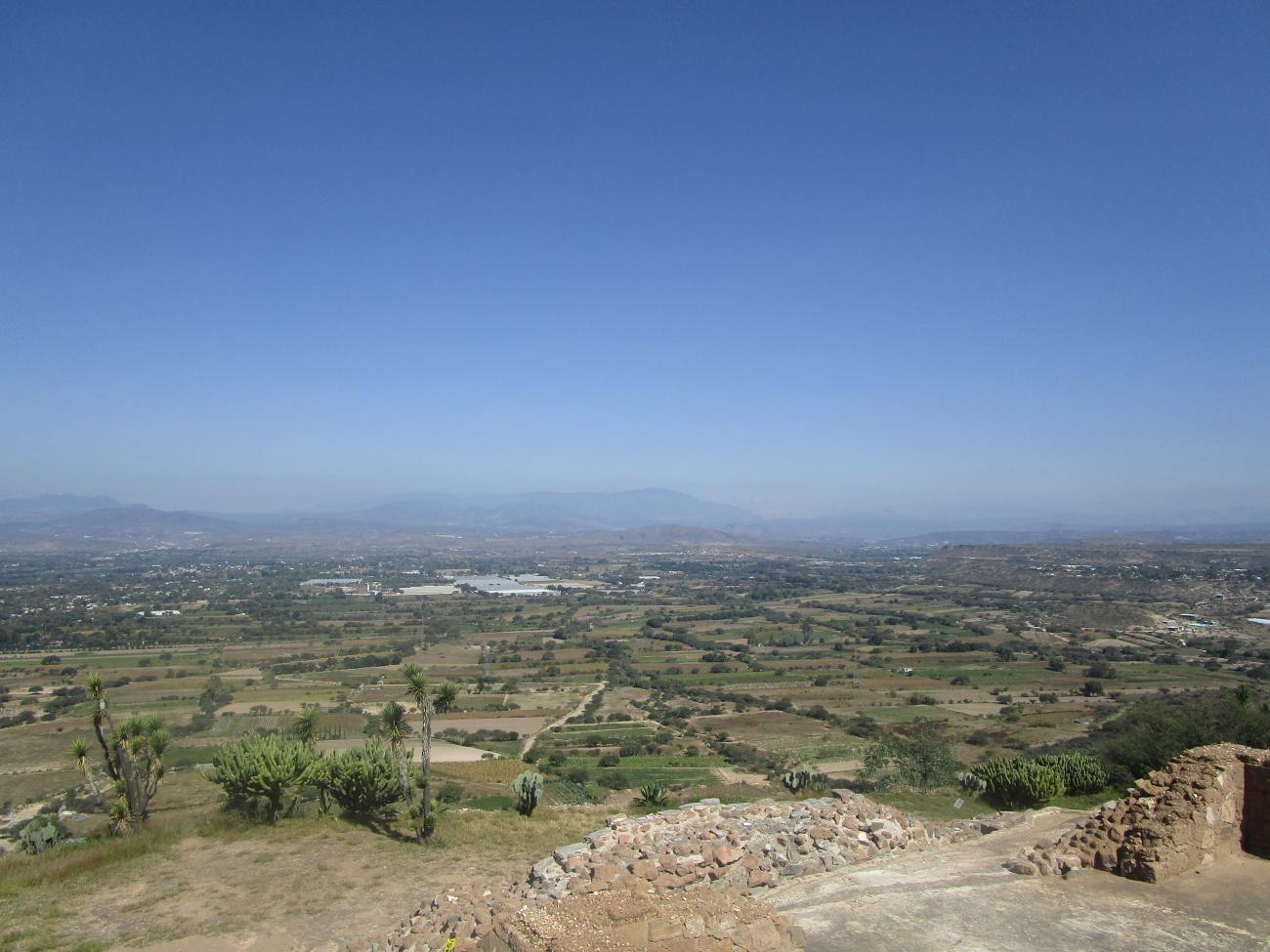
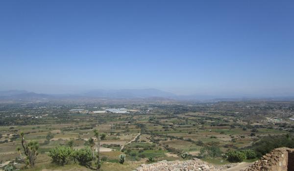
With an extraordinary view of the Mezquital Valley, Pañhú was contemporary with Teotihuacan, but developed separately and survived 400 years after the fall of the great metropolis. Little known, its study could help us to understand the origins of the Otomi groups.
Pahñu, meaning “hot road” in Otomi, was built around the year 350 and was part of the Xajay culture. At some point around the year 200 a group left the Chupícuaro-Mixtlán region close to Acámbaro, Guanajuato, heading east. During this migration the people recognized points in the landscape which had symbolic meaning, which guided them to establish their ceremonial sites. The most important among these symbolic sites was Cerro el Águila or Hualtepec, the birthplace of Huitzilopochtli.
Five Xajay culture sites are known today, in the east of the state of Hidalgo: Zethé, Zidada, El Cerrito, Taxangú and Pahñu, which is the largest of these.
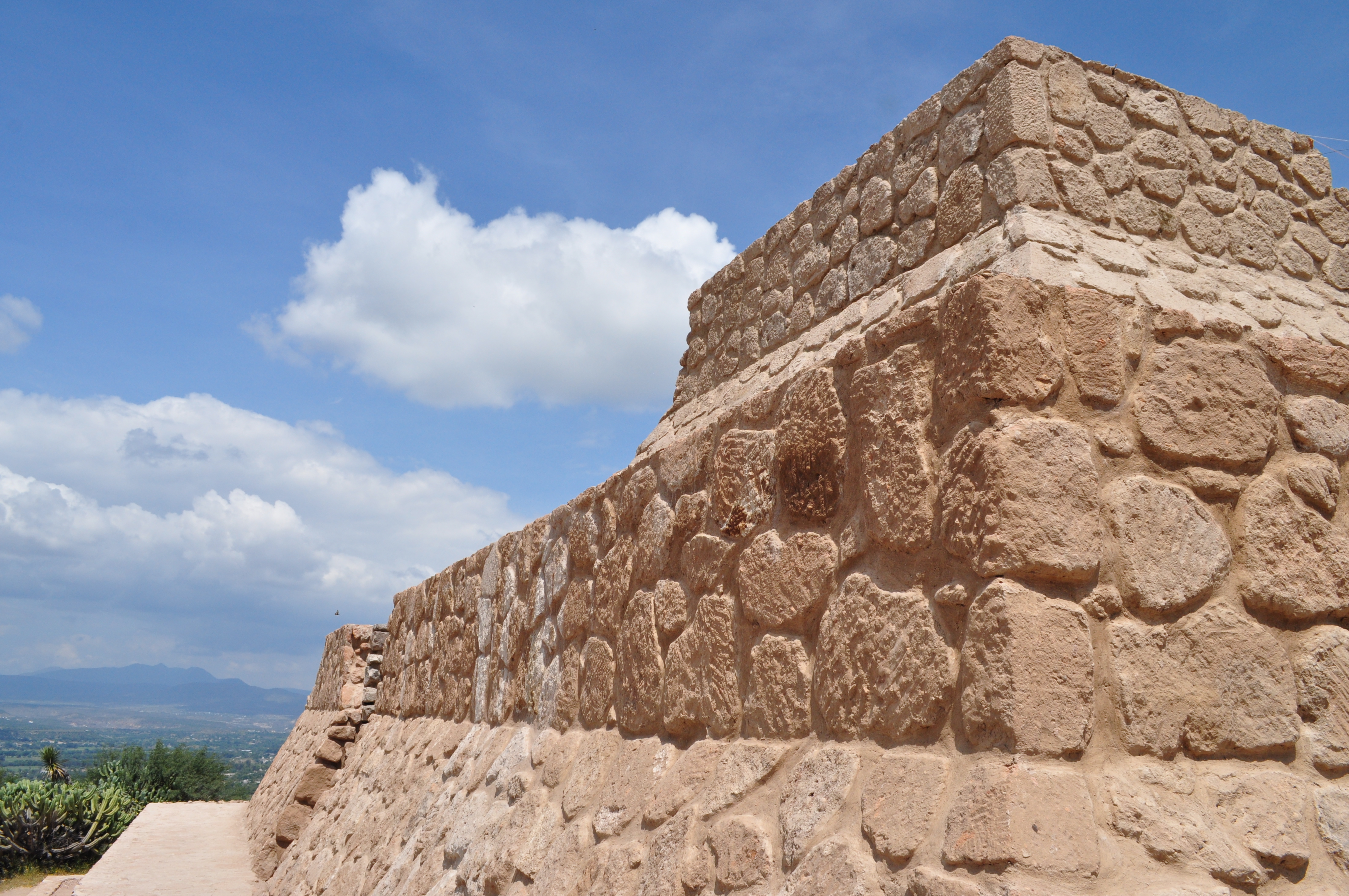
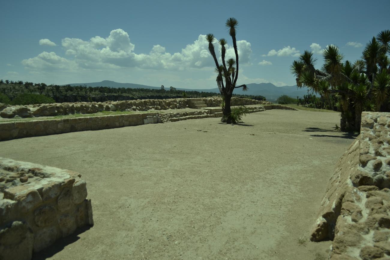
Pahñu is on the edge of a plateau overlooking a valley. There are four groups of structures and only the central one is open to the public. Access is via a narrow road with cliffs on both sides. The path leads to an open space and a rectangular structure and then onwards to the main plaza. When visitors walk this trail from south to north they are following a symbolic route in Otomi cosmology.
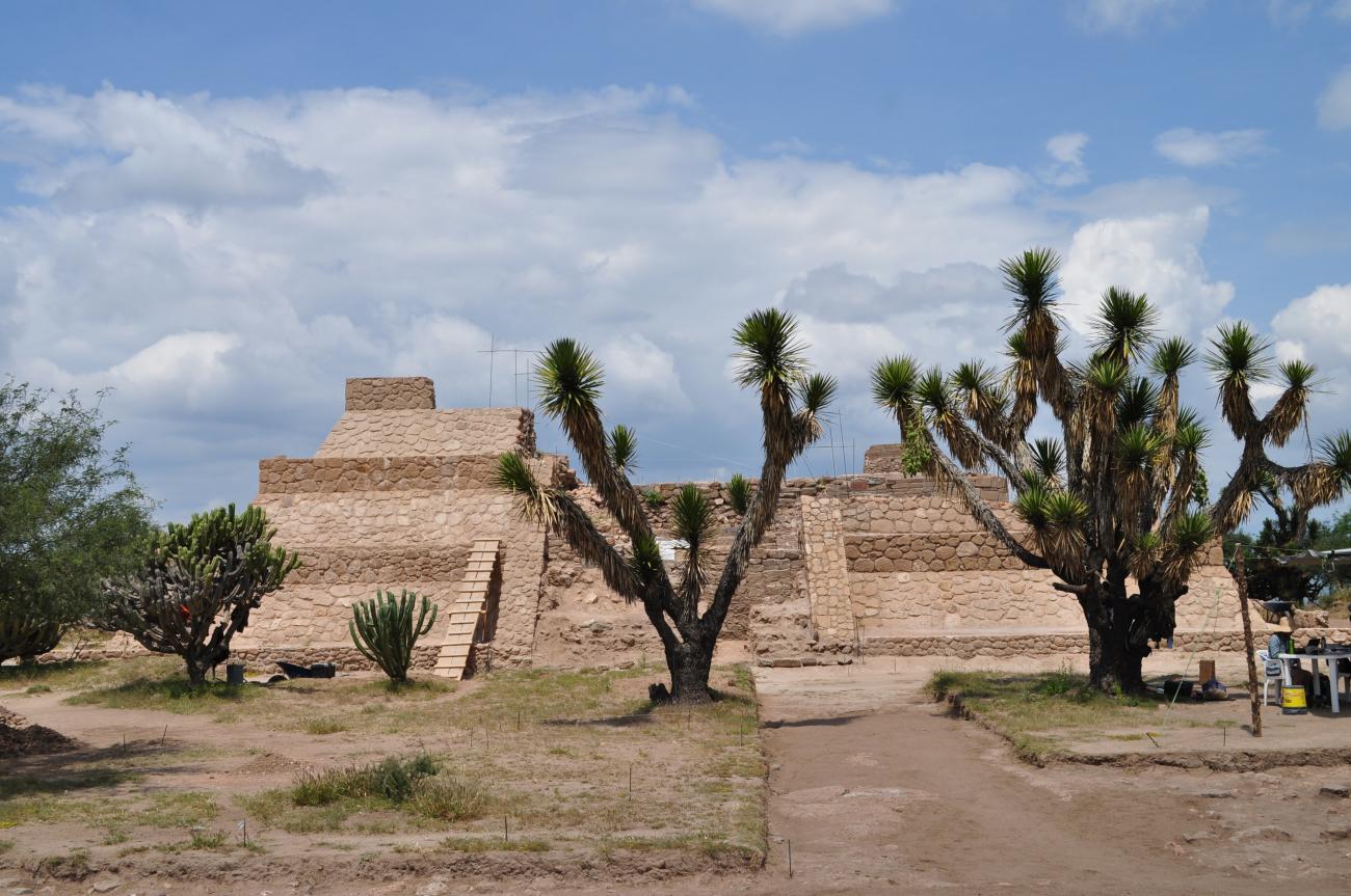
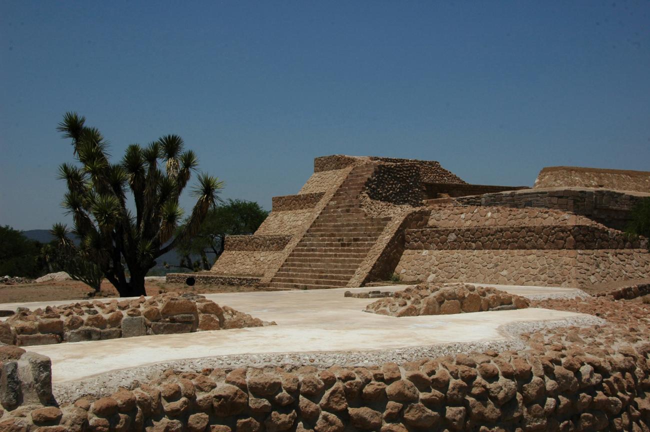
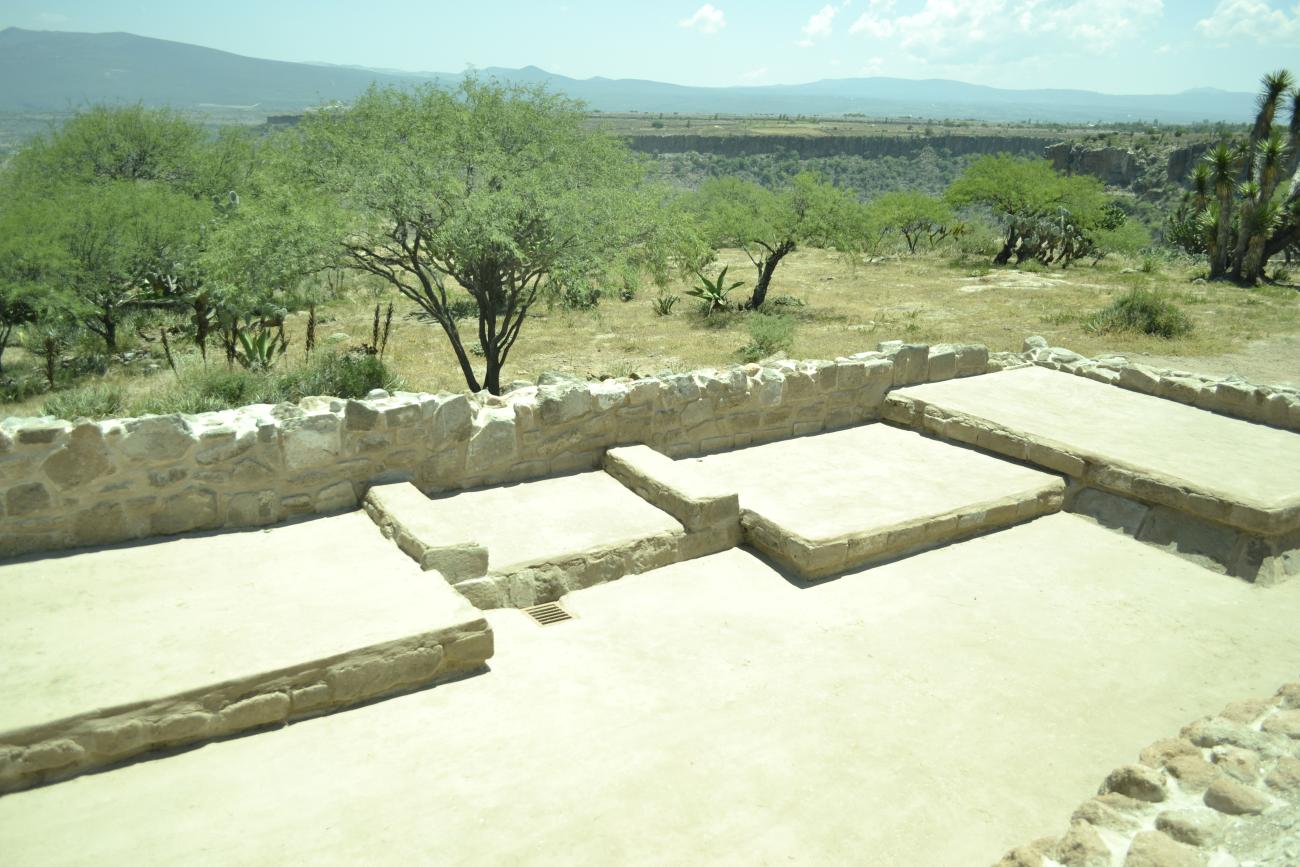
Straight ahead from the center of the main plaza there is a view of the principal pyramid dedicated to Huehueteotl-Xiuhtecuhtlica, who was the fire god dwelling at the center of the universe, the embodiment of celestial and cosmic fire. To the east can be seen the tecpan, or government palace, a smaller building where a series of benches survive used in ancient times by the Xajay governors when making political or religious decisions. On April 13 and 14, the sun rises just behind the central seat of the tecpan and it follows a trajectory marked by petroglyphs up to the point where the star rests. The main structure and the tecpan were used in two periods. The first, from 350 to 500, was a period of Xajay cultural independence, which is evident from the architectural styles of Pahñu. The second period began soon after the year 550, as a consequence of the new relationships and struggles which took place when Teotihuacan lost its position of dominance in central Mexico. At this juncture, contact between the groups which were on the move and Xajay groups led to changes in architecture, which were reflected in larger building that covered the original ones.
Pahñu was abandoned in the eleventh century when its inhabitants migrated towards the growing city of Tula.
- Dirección del Centro INAHManuel Villarruel Vázquezmanuel_villarruel@inah.gob.mx+52 (771) 714 3989
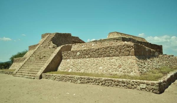
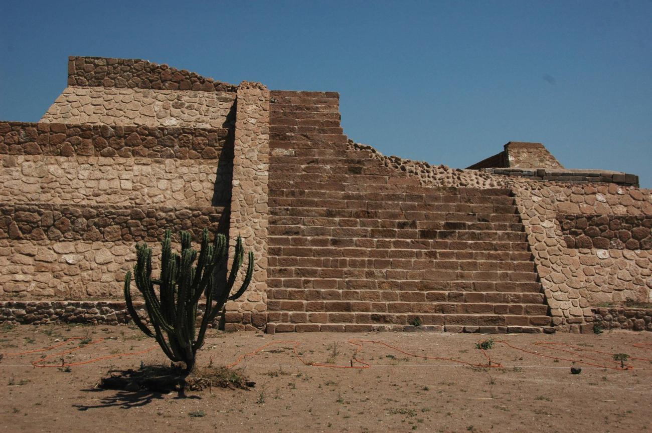
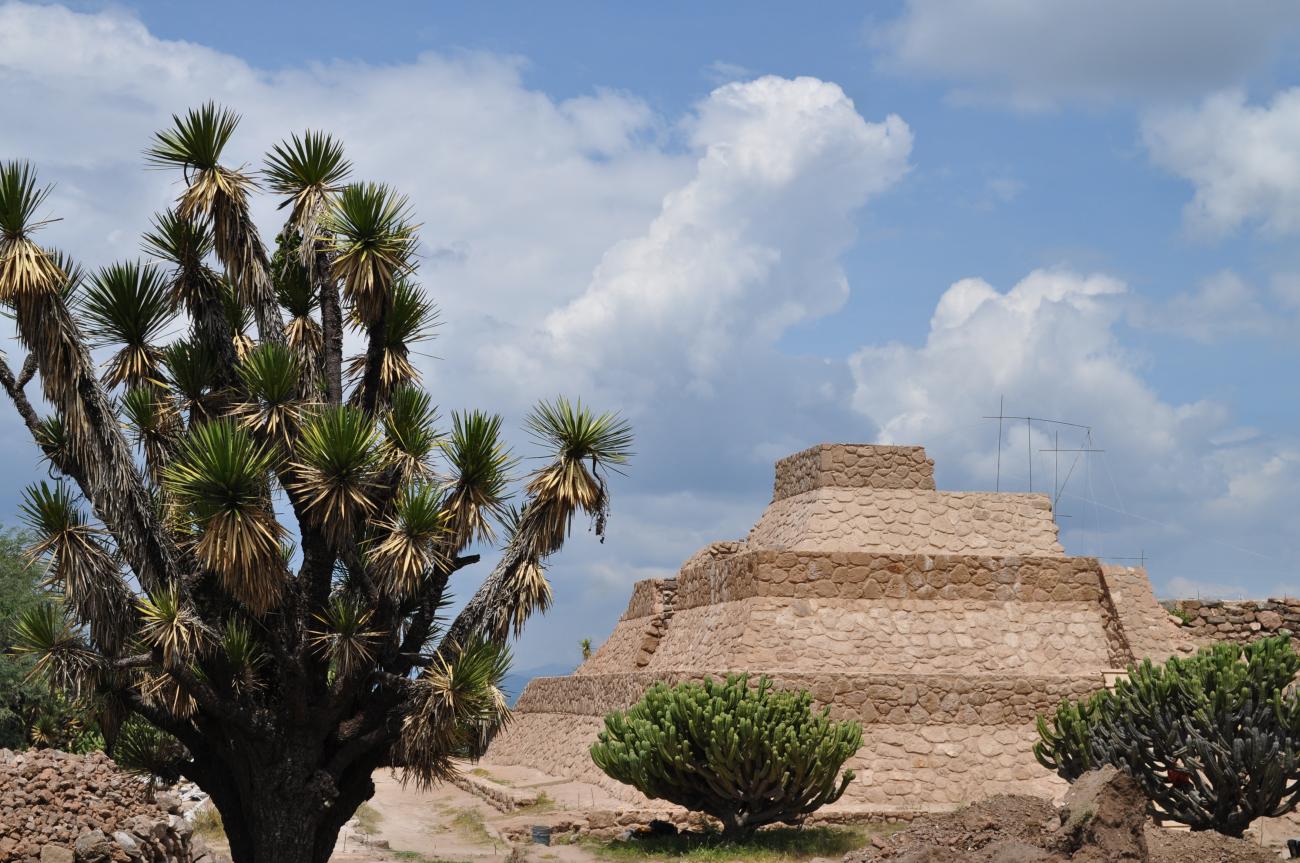
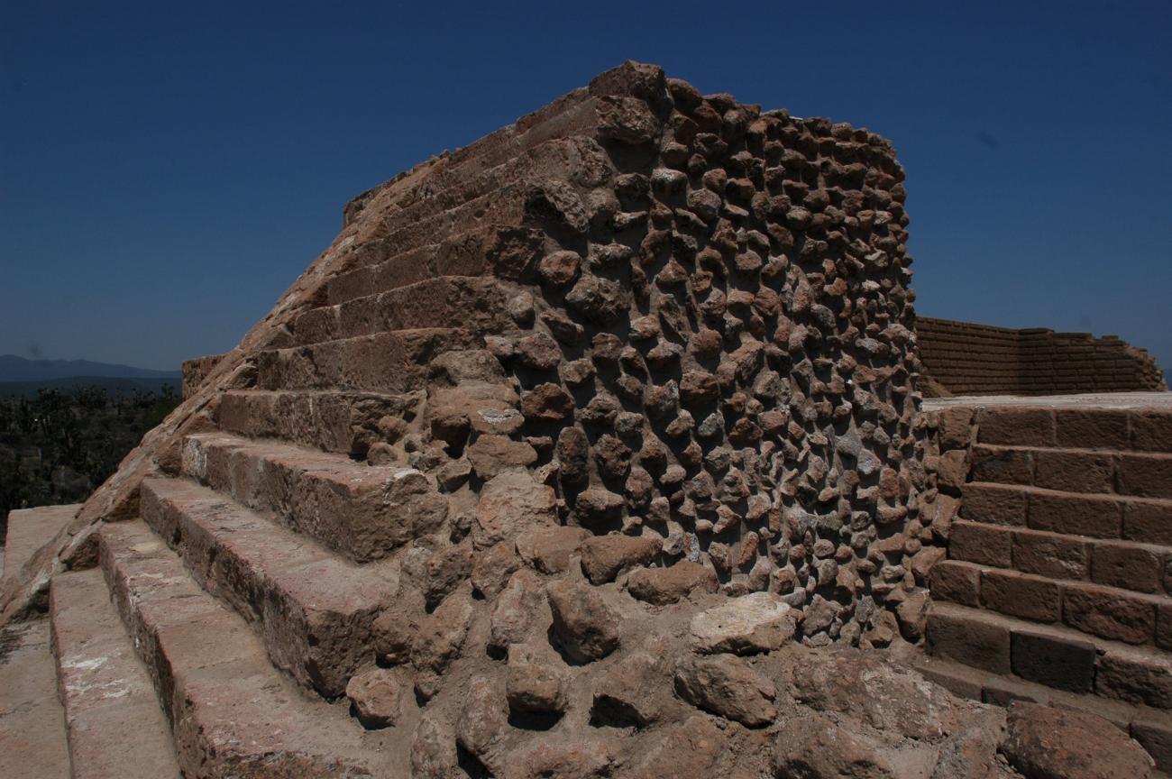
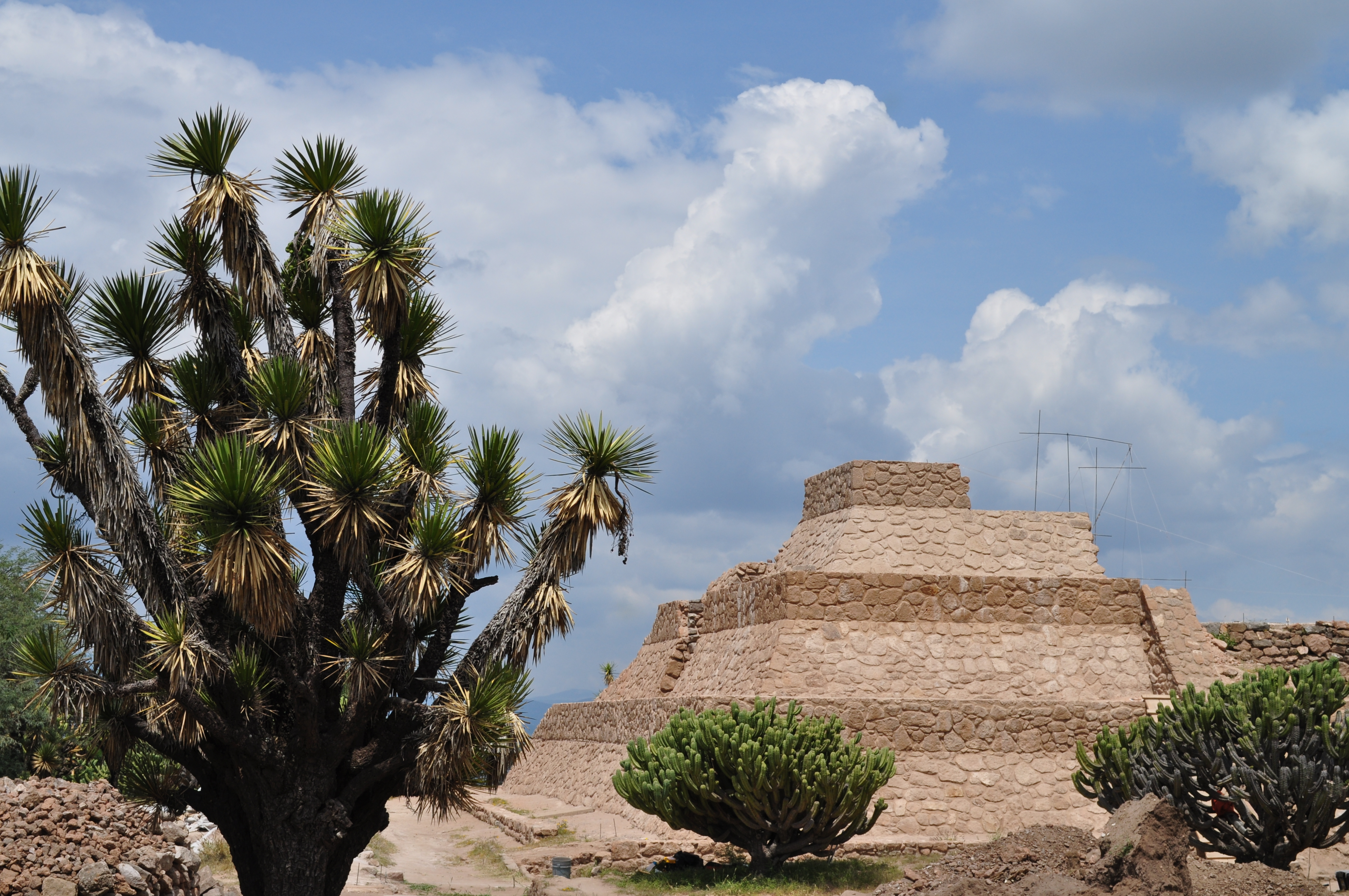
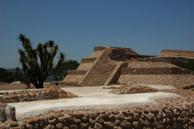
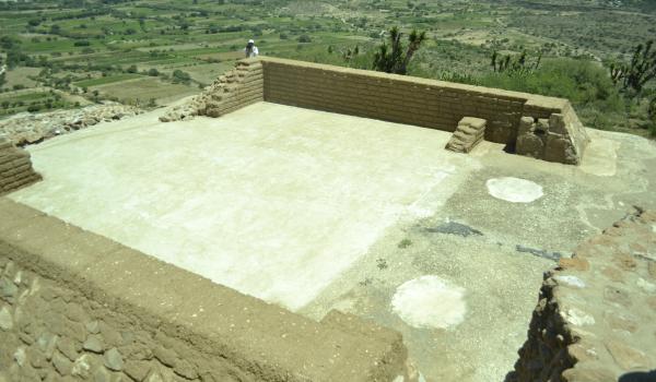
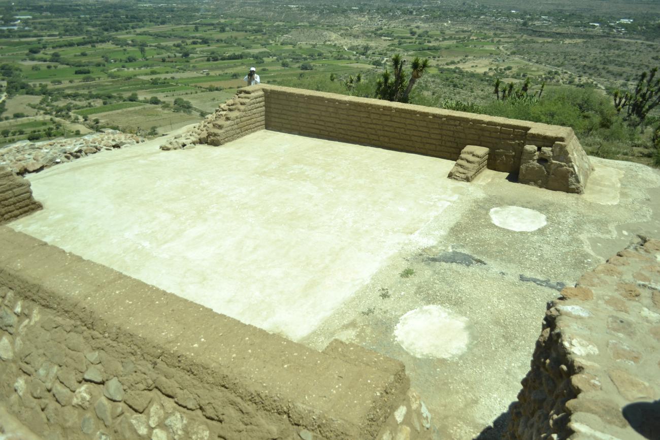
Pirámide de Xiuhtecuhtli
Old God of Fire, who lived in the center of the universe and embodied the celestial and cosmic fire.

Old God of Fire, who lived in the center of the universe and embodied the celestial and cosmic fire. This pyramid is a representation of the sacred hill, the center of the universe, the place where time begins, or the mythical mountain where is the entrance to the place of the dead and the place of the gods of heaven. It is the highest and most stellar structure of the place.
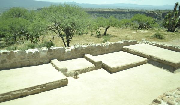
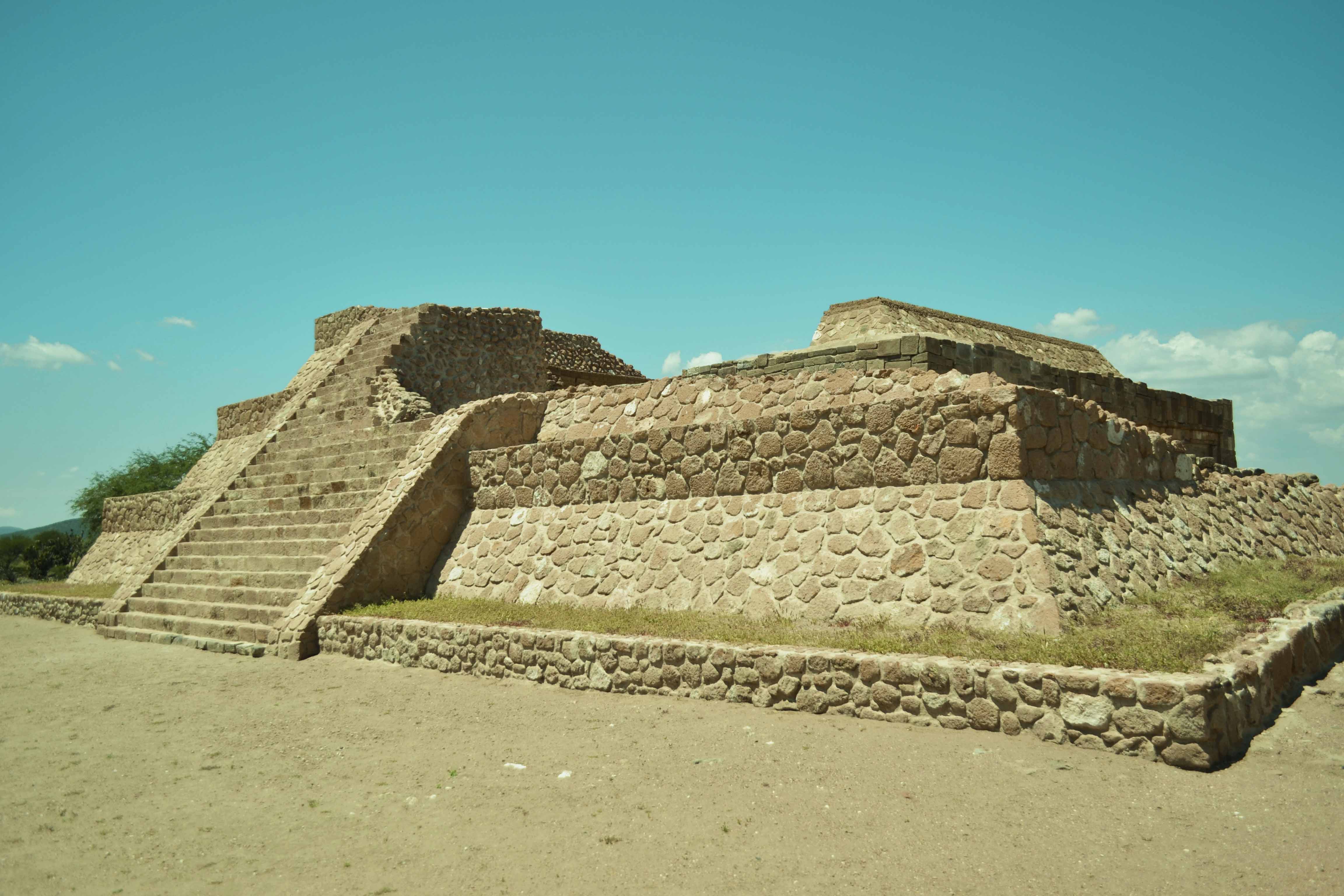
El Tecpan
Smaller building that preserves a set of benches. Here meetings were held for the government and administration of Pahñu, which were attended by the rulers of the subordinate towns, accompanied by their advisor. The central place was reserved for the ruler of Pahñu and his advisor.
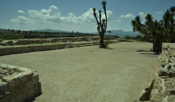
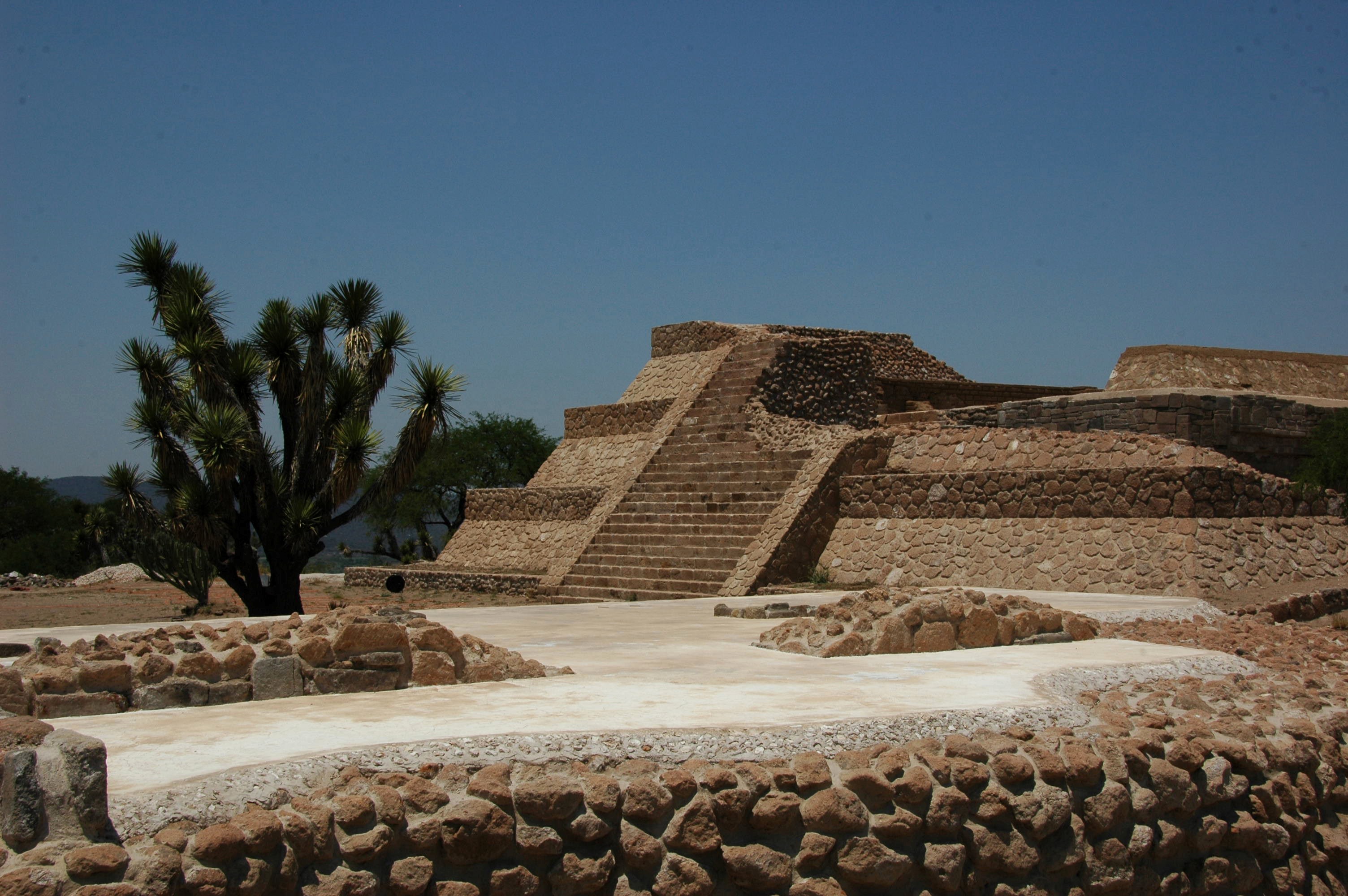
Plaza Principal
It is reached by a path that leads to an open space and a rectangular structure.
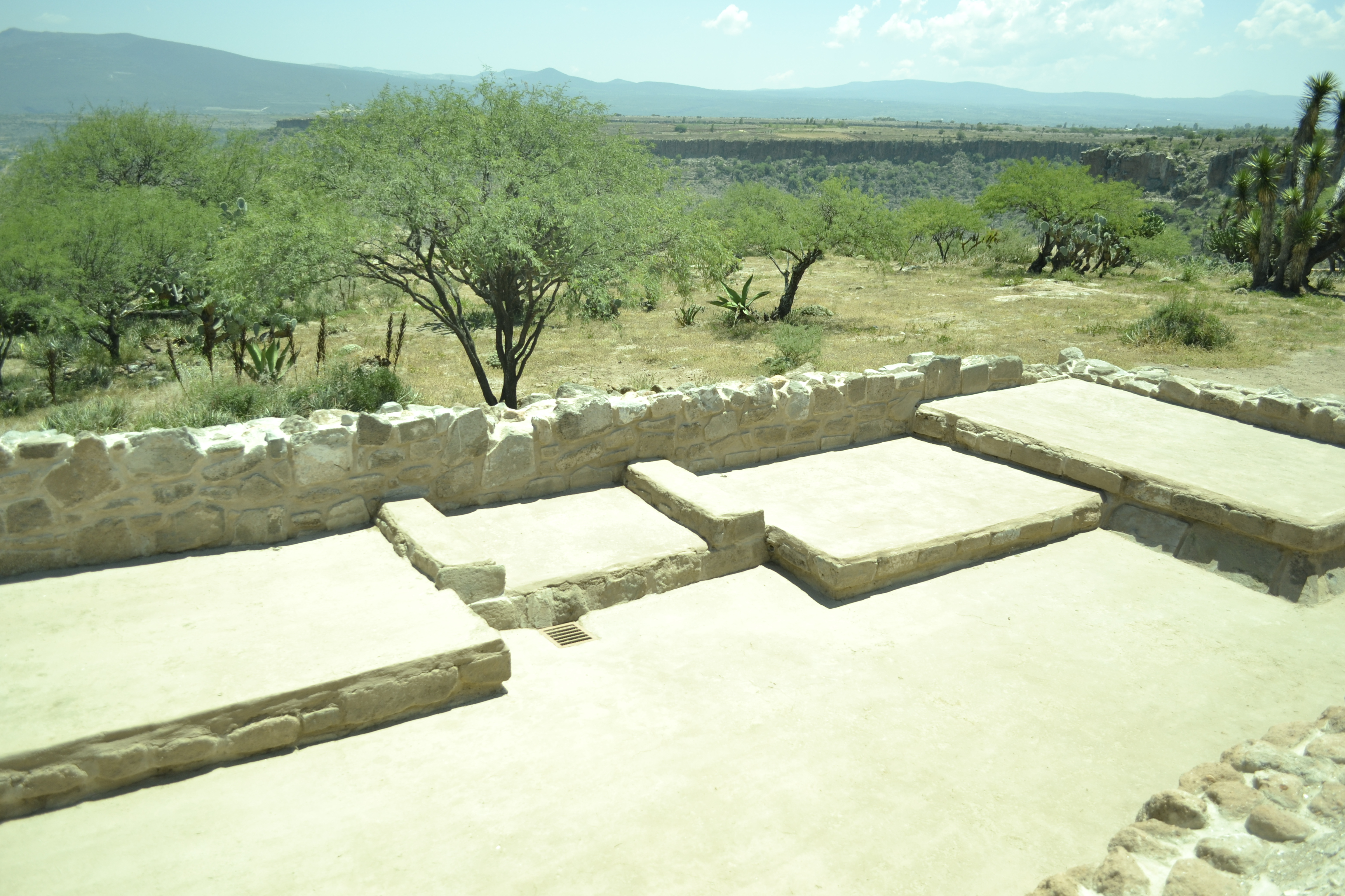
El valle de Pahñu
To build Pahñu, the Xajay had to cut and fill the plateau to achieve a uniform surface on which they could begin the construction of all the buildings that make up the ceremonial center.
La Huesamenta
The lower part of the plateau was inhabited by the population. There, people used to bury the dead under the floor of their houses. Because of the amount of skeletal remains that have been found, the place has been called La Huesamenta.