


Tepexi el Viejo
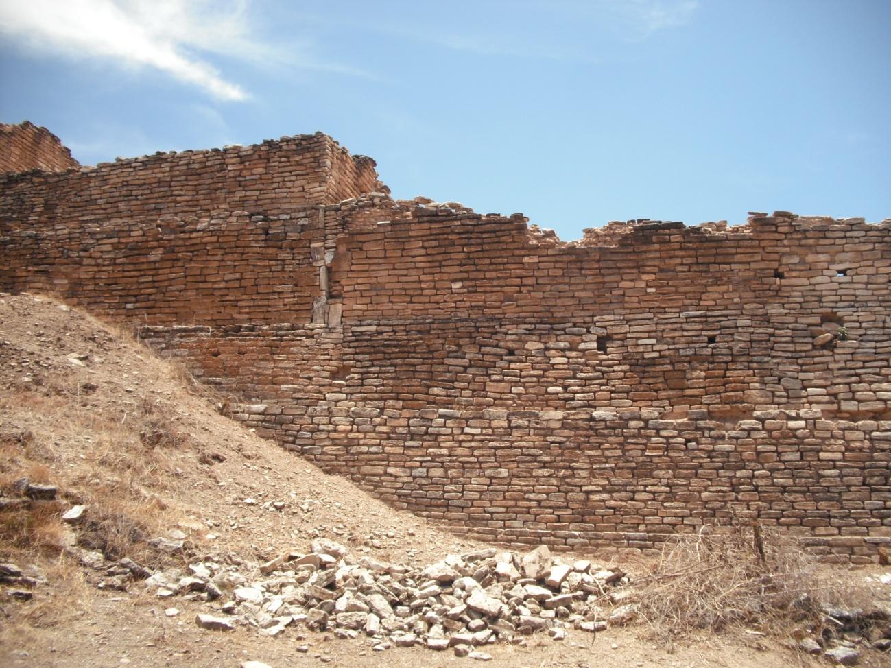
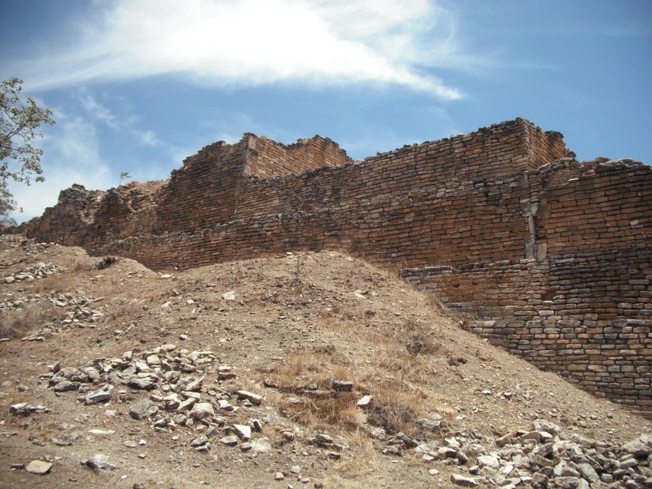
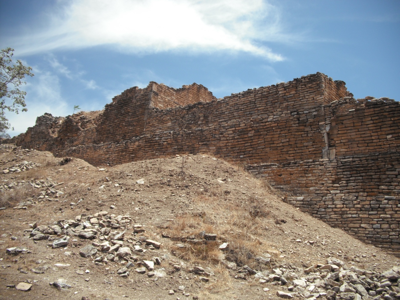
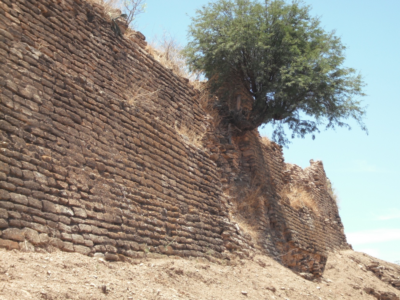
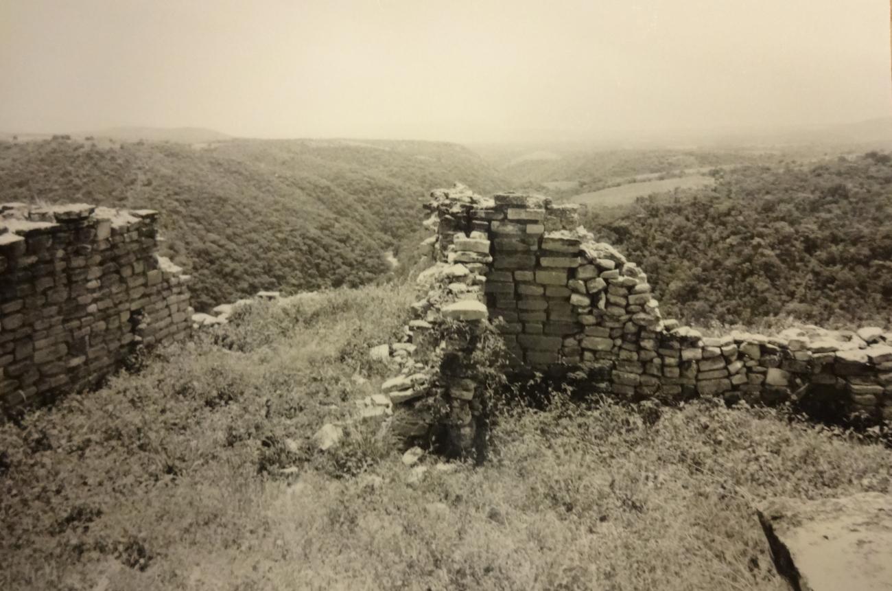
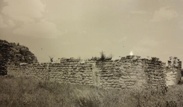
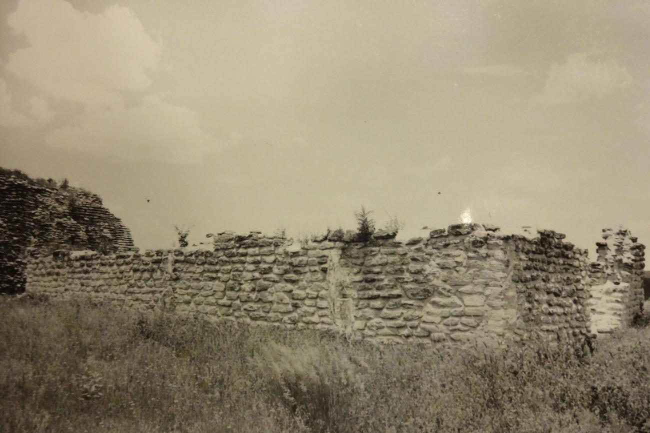
A military fortress built on the upper part of a hill, flanked on three sides by precipitous ravines. Distinguished by its formidable surrounding stone wall. Administrative center of one the most important Popoloca domaines (1200-1500 AD), with monumental architecture.
The name Tepexi el Viejo is of Nahuatl origin, meaning “split or steep rock,” or more specifically “high place or site with crags or escarpments.” The Tepexi el Viejo archeological site is located in the municipality of Tepexi de Rodríguez, in the state of Puebla. It is built on the extension of a low hill and is surrounded on three sides by deep ravines, one of which forms the bed of the La Xamilpan river.
According to the writings of the chroniclers, Tepexi was probably founded in the late twelfth century. It was thought to be a Mixtec-Popoloca fiefdom.
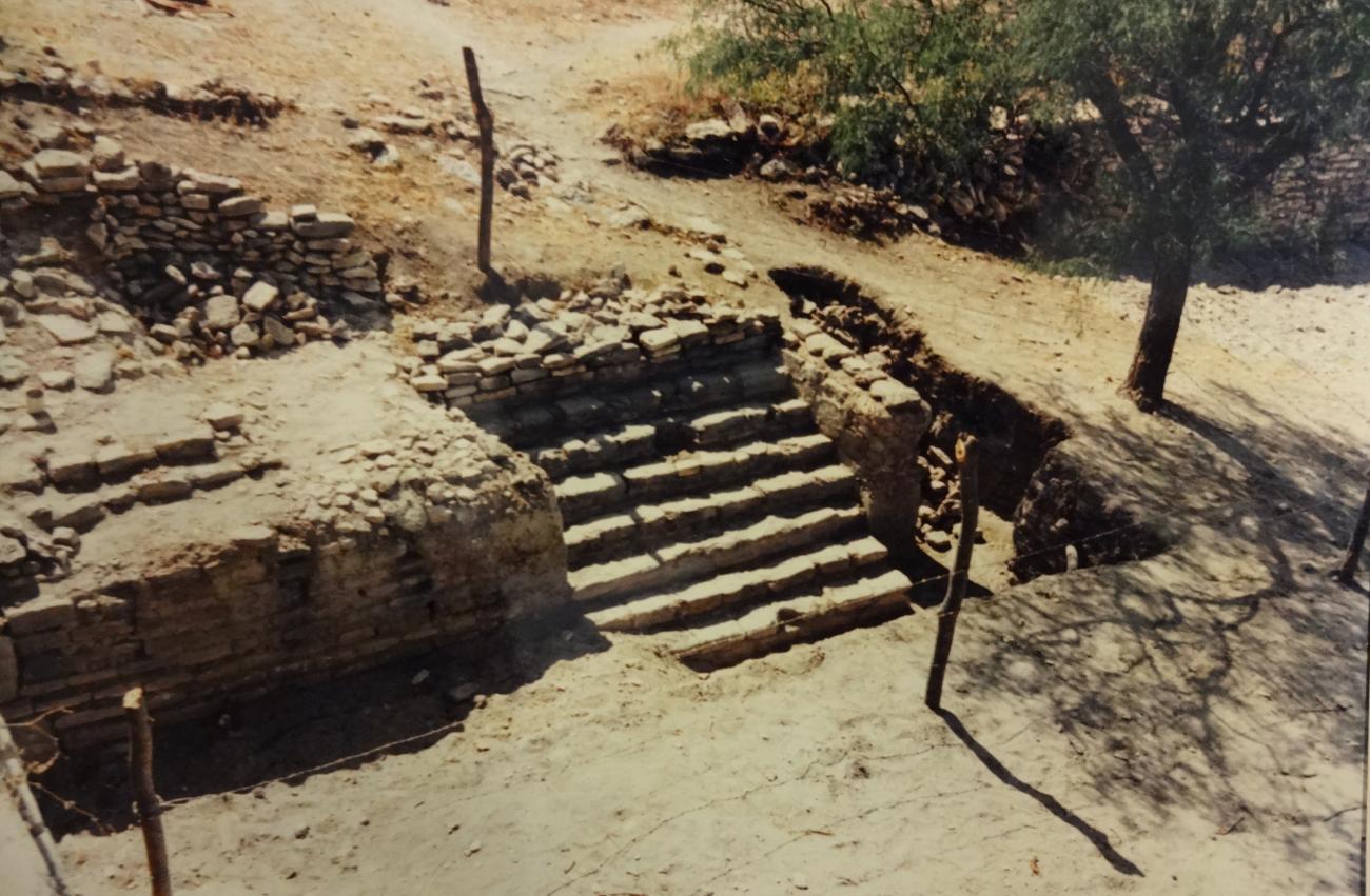
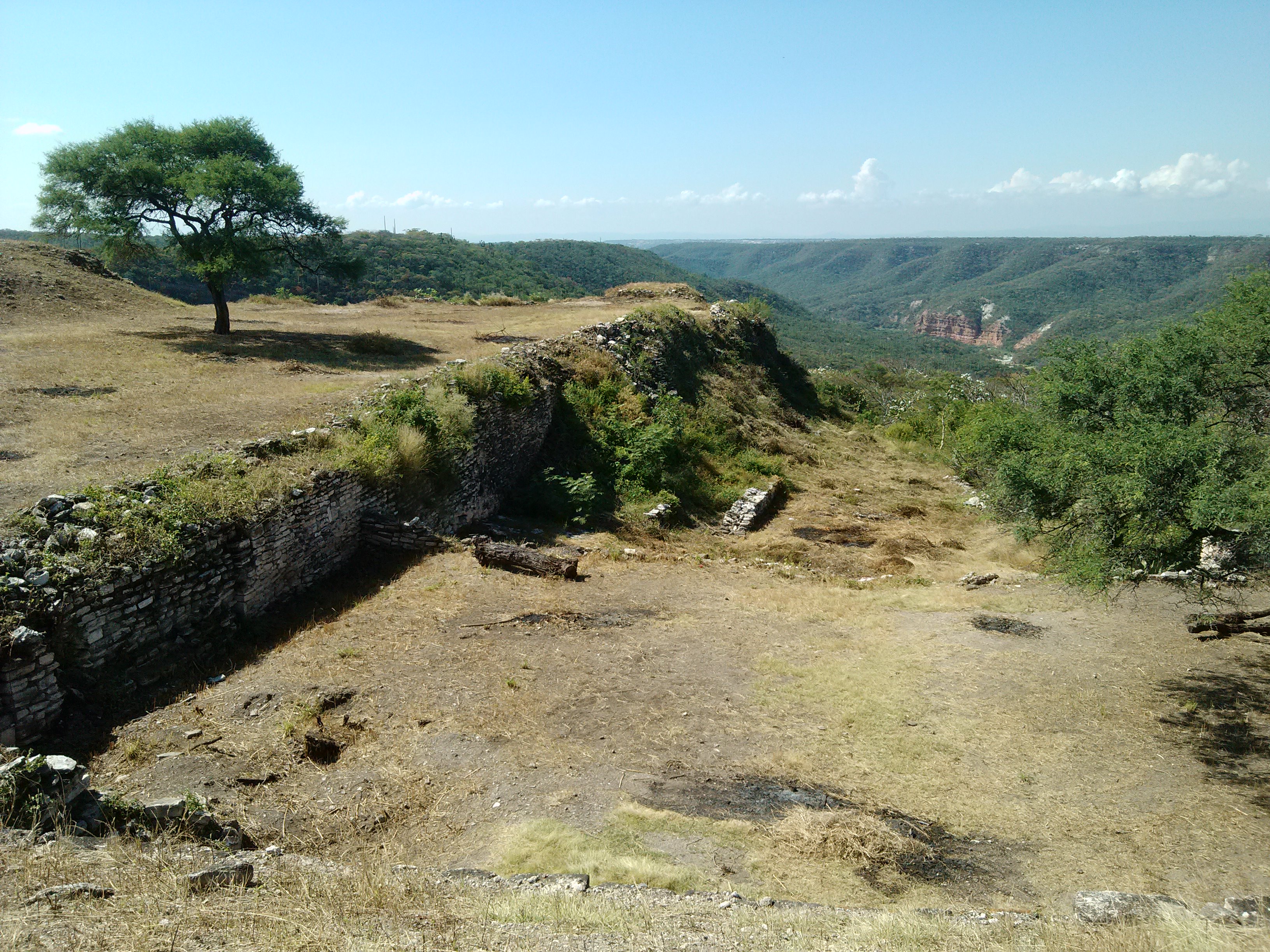
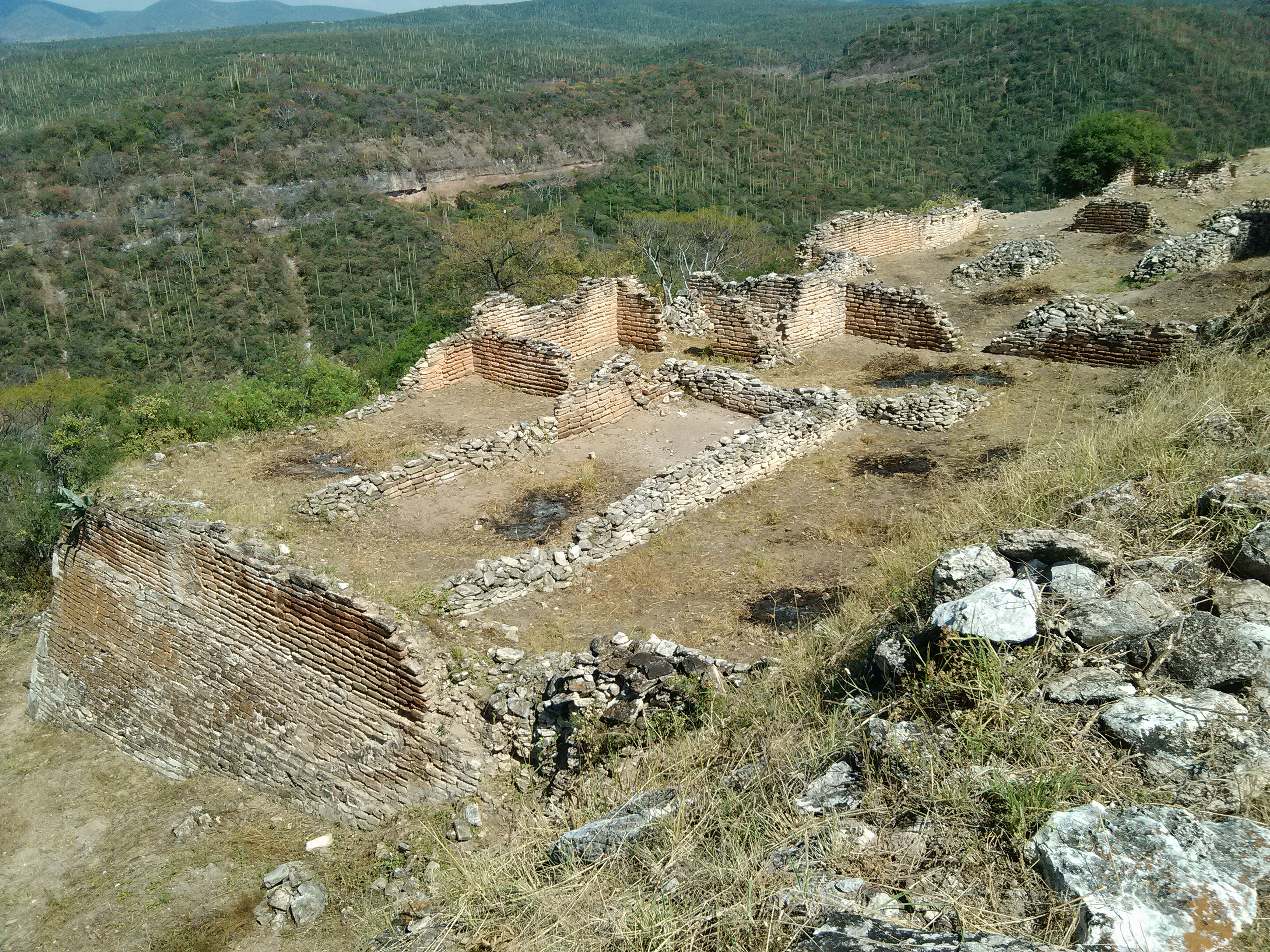
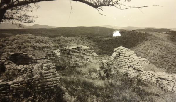
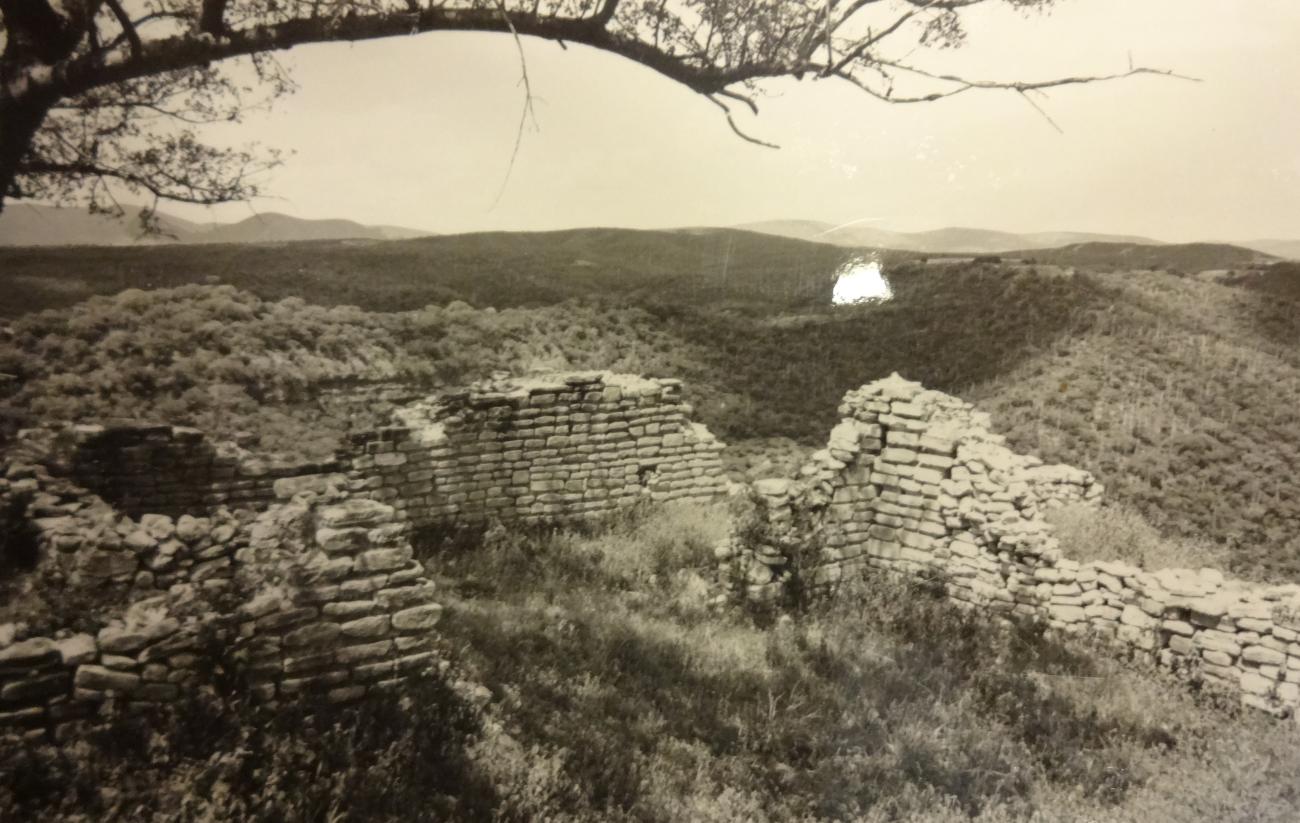
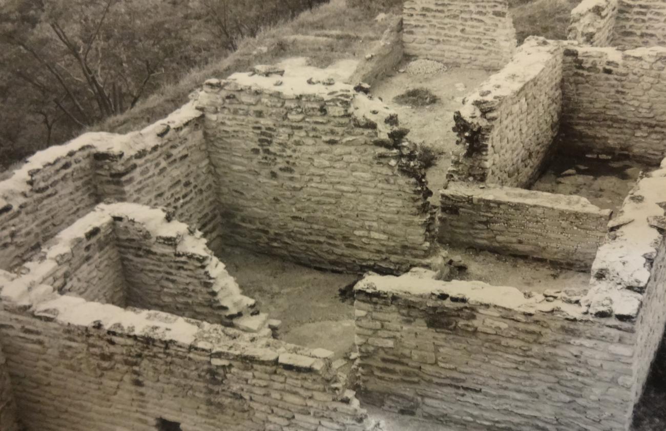
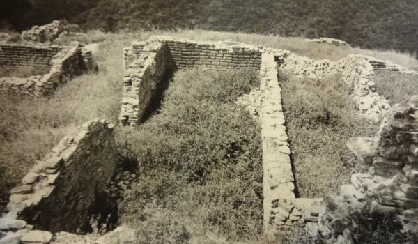
It was a pre-Hispanic settlement of the Postclassic horizon, built by the Popoloca to protect themselves from Aztec attack. It had an enormous fortified precinct, an area with large stone rooms and smaller buildings around these monumental edifices. This fortified precinct is the most spectacular part, thanks to the high rock walls which surround it. Inside the precinct there is clear evidence of residential areas, plazas, mounds and tombs reflecting the site’s importance.
The site was occupied by the Mexica at the start of the sixteenth century, although the style of the buildings retained typical Popoloca features. Sources mention the conquest of Tepexi in 1503.
The whole area was abandoned shortly after the Spanish captain Gonzalo de Sandoval conquered the extensive Popoloca lands.
- Dirección del Centro INAHGustavo Donnadieu Cervantesgustavo_donnadieu@inah.gob.mx+52 (222) 213 7390
Sector B
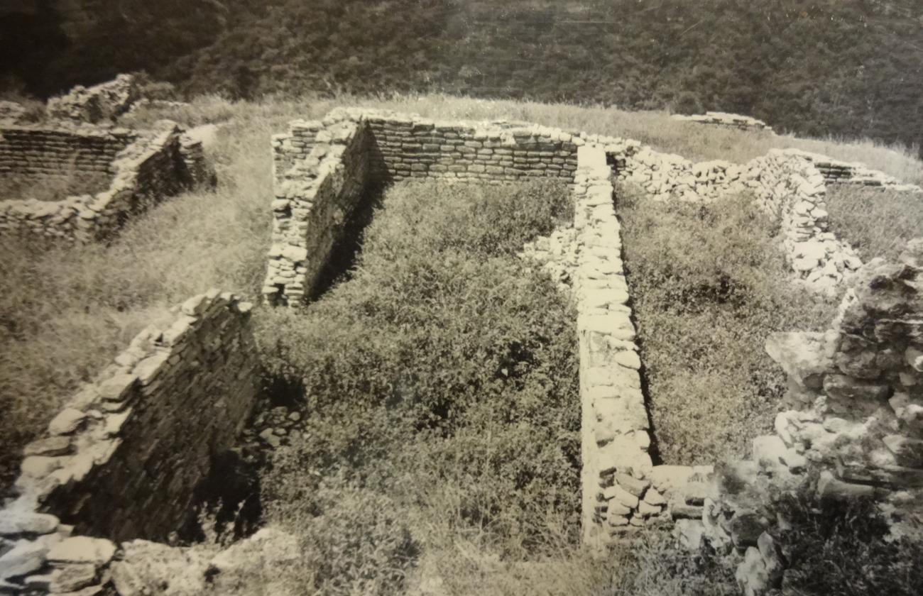
This sector, in addition to occupying the highest level in relation to all the others, is the largest. It is bordered to the north by sector D, to the west by the Plaza of sector A, to the south by sector C and to the east by a ravine.
This sector, in addition to occupying the highest level in relation to all the others, is the largest. It is bordered to the north by sector D, to the west by the Plaza of sector A, to the south by sector C and to the east by a ravine.
It has a large housing complex. In this space we can also observe a small mound, a drainage channel and remains of tombs.
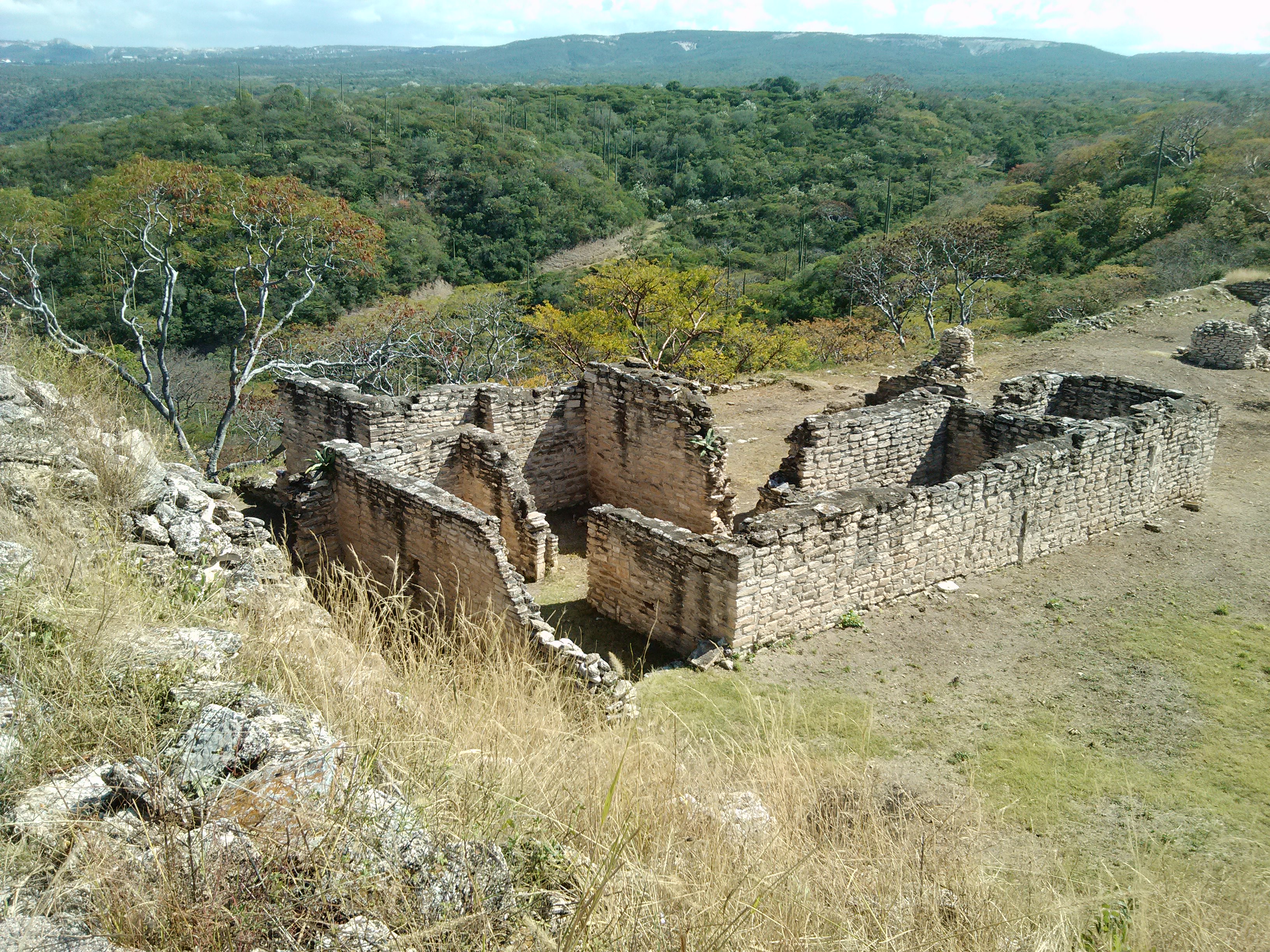
Residential area
Sector C
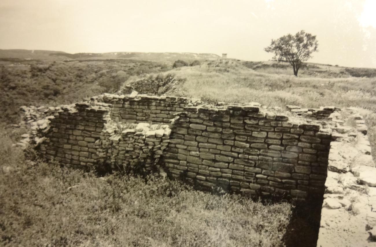
It is located at the lowest level of the hill and has immediate access to the outside. The southernmost part of this sector has a small structural body with stairways, which may have served as a watchtower.
It is located at the lowest level of the hill and has immediate access to the outside. The southernmost part of this sector has a small structural body with stairways, which may have served as a watchtower. In this sector there is a small residential area that is the best preserved of the entire site.
Residential area
Sector D
It is located to the north of the main complex, between sector B and sector E. It is a housing area consisting of numerous rooms, it is on a lower level than sectors A and B, but higher than sector E, with which it has ample communication.
Residential area