


Teopantecuanitlán
Unique settlement in the present-day state of Guerrero with monumental architecture bearing Olmec traces. It played a key role in the supply, manufacture and redistribution of luxury goods from the coast destined for the Valley of Mexico. It was inhabited for almost 800 years.
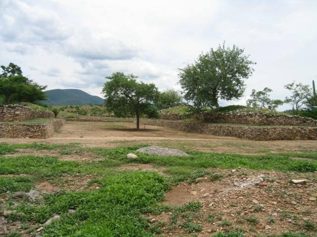
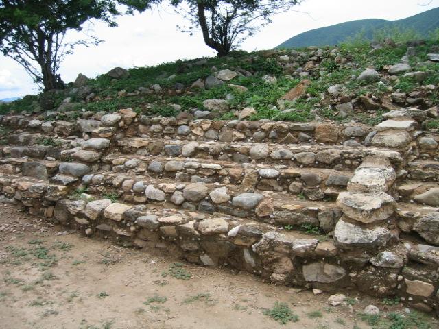
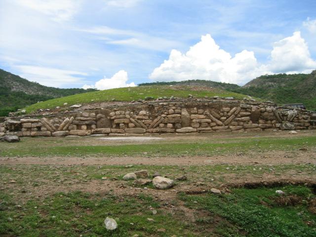
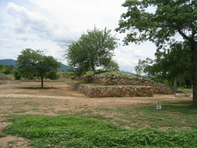
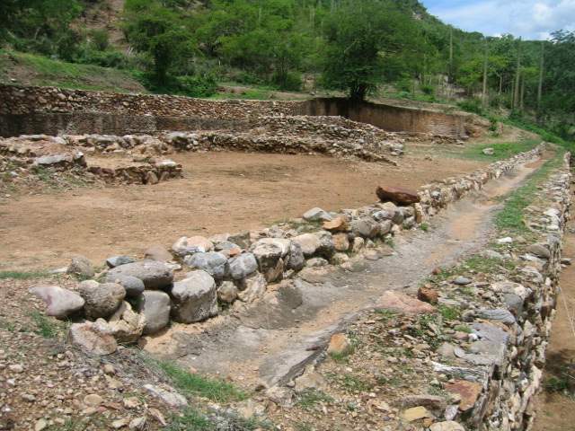
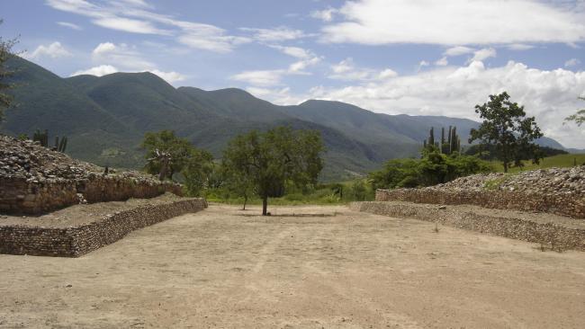
The archeological site known as El Rincón, whose pre-Hispanic name was Teopantecuanitlan, is to the northwest of the Cerro de León, on a small hillside close to the river Mezcala where it passes through the municipality of Copalillo, Guerrero. Its original name is Nahuatl and means the “place of the temple of the tigers or lions.” The site is 53 miles to the southeast of the city of Iguala, and it is important because it is the only settlement with monumental architecture with Olmec traits in the state of Guerrero.
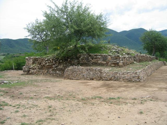
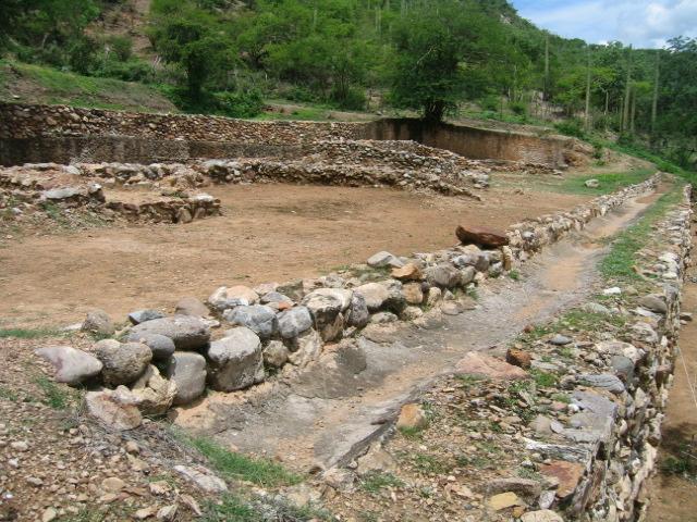
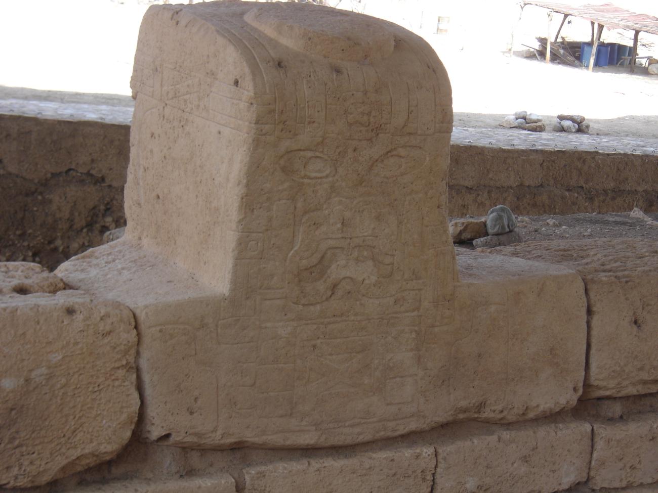
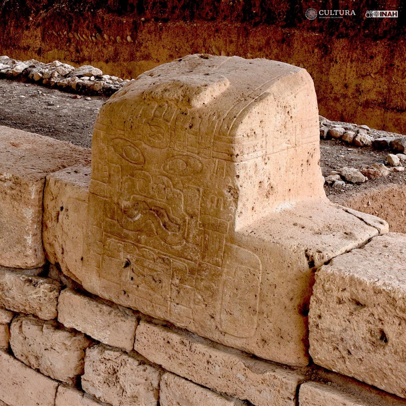
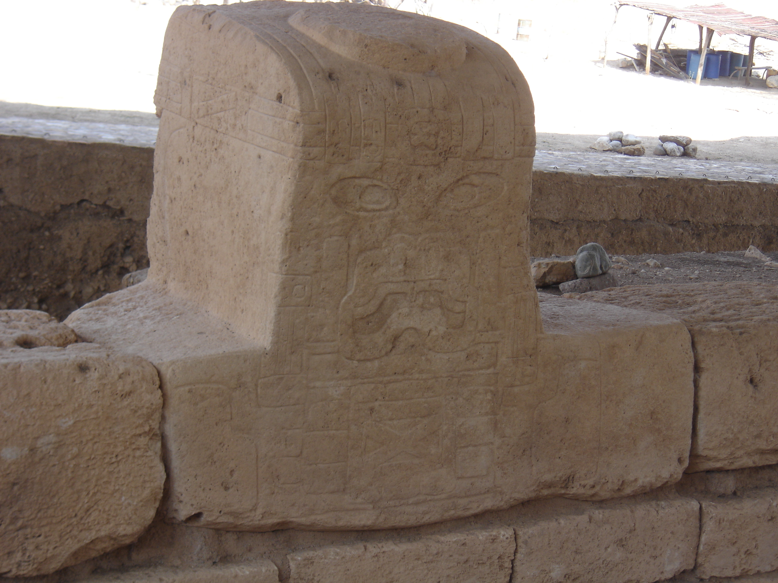
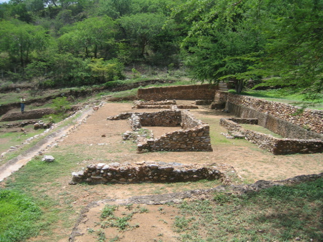
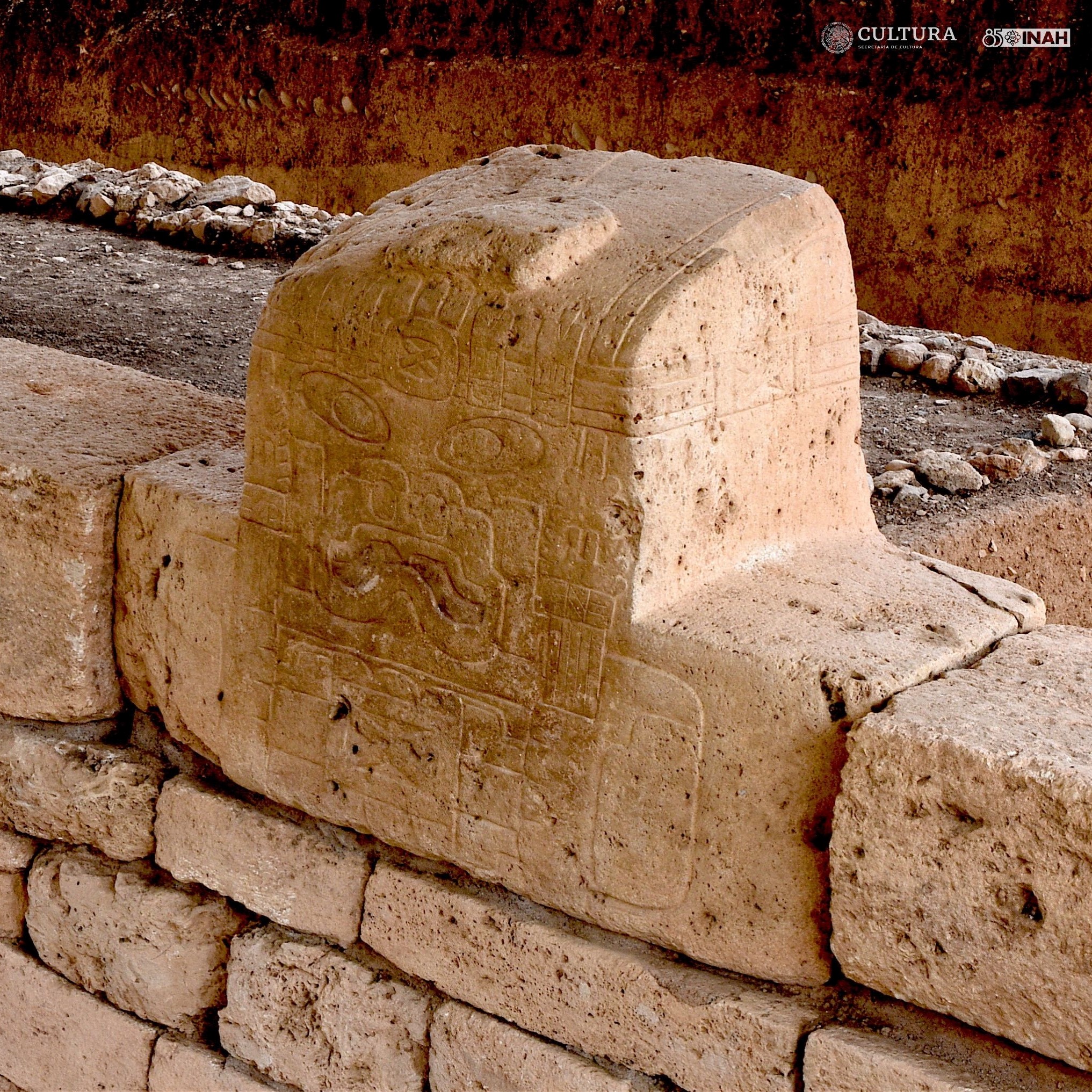
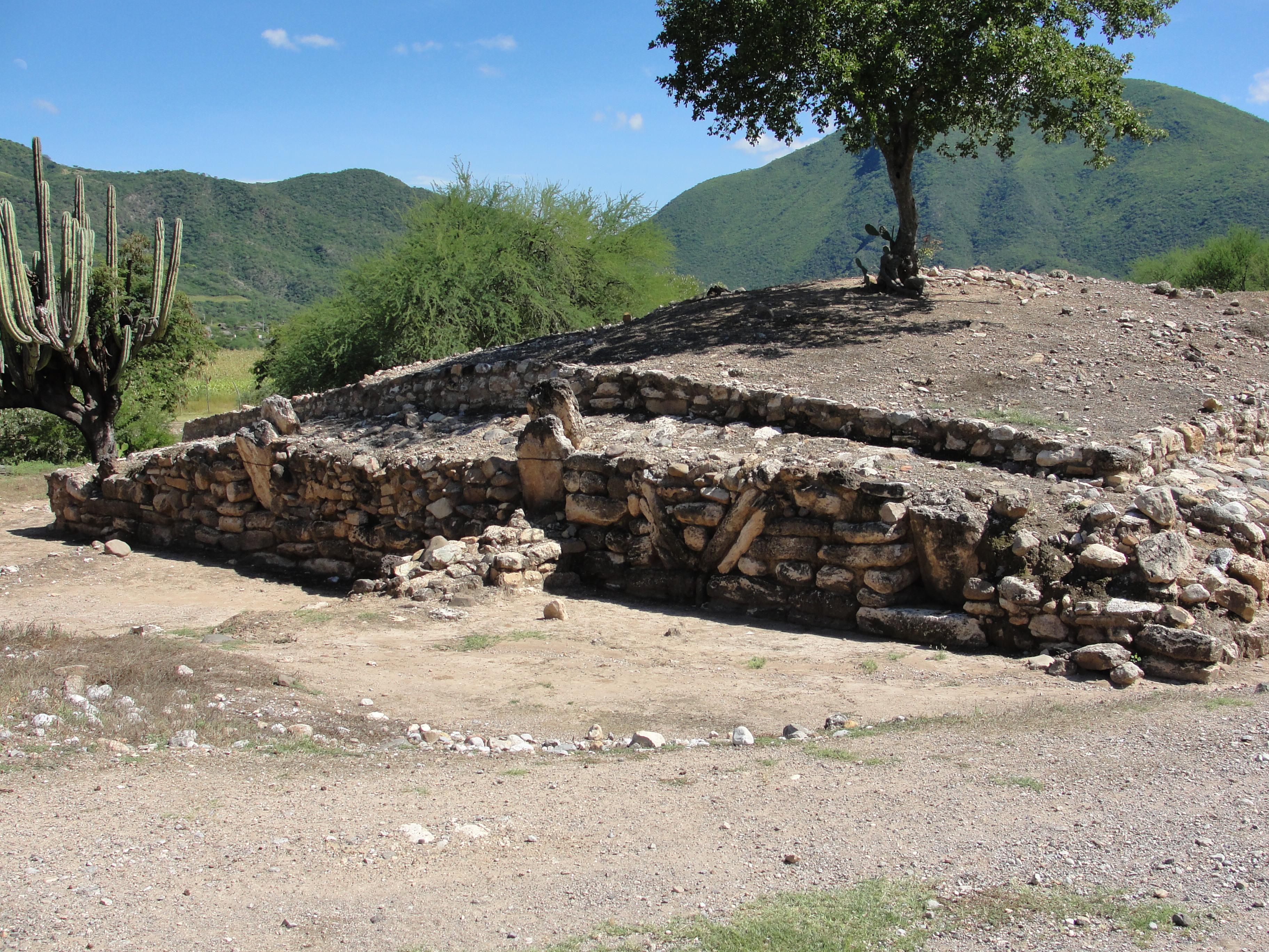
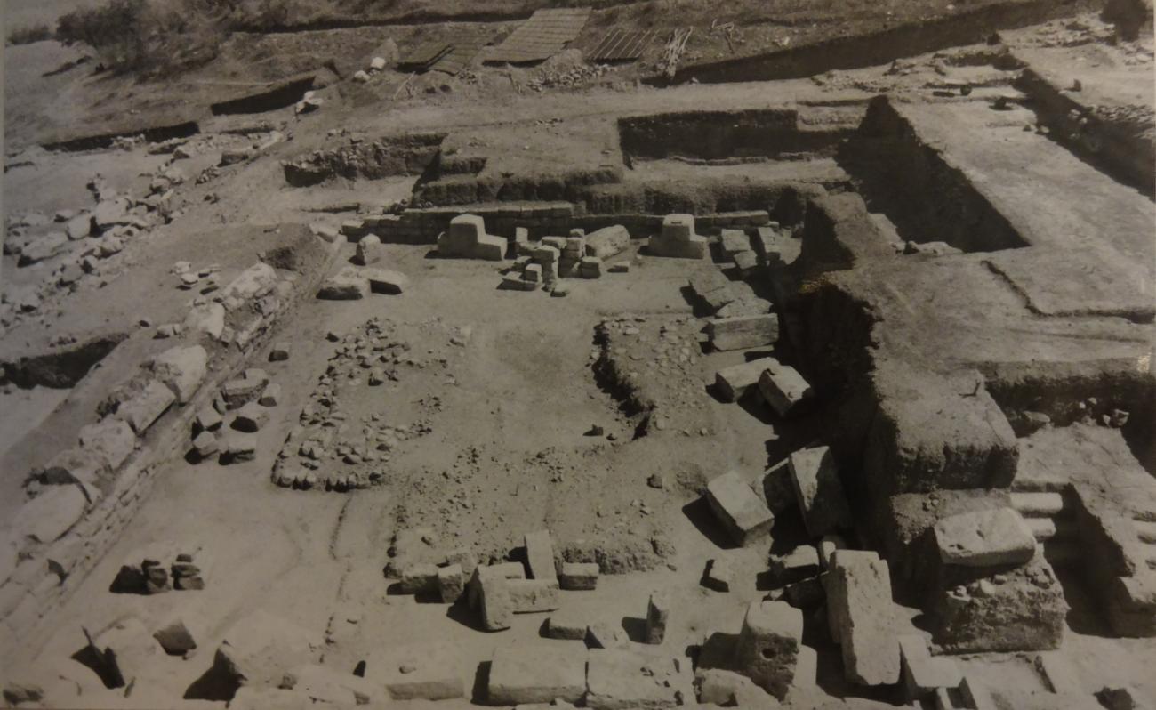
The archeological site consists of a ceremonial center characterized by a precinct with four monoliths which weigh just over three tons each. The Precinct is the most important structure in architectural terms, and the buildings around this are much simpler, although no less important than those of the residential sector.
Thanks to the archeological excavations carried out by Guadalupe Martínez Donjuan, Cristine Niederberger and Rosa María Reyna Robles, five stages of occupation have been identified over the course of nearly 800 years. The third stage onwards has been dated using carbon-14. The third stage was from 1400 to 900 BC, the fourth from 900 to 800 BC, and the fifth from 800 to 600 BC. It is also possible that the site was once again occupied during the Epiclassic.
It has been established that the site played an important role in the supply, manufacture and redistribution of sumptuary goods generally but particularly sea shells used for making ornaments, which came from the coastal and tropical regions of Guerrero, and which circulated to the basin of Mexico. Another important feature is the placing of monuments and sculptures in relation to the solar transit, marking phenomena such as the equinox, which could be linked to the development of a system for measuring time and the establishment of the agricultural cycle.
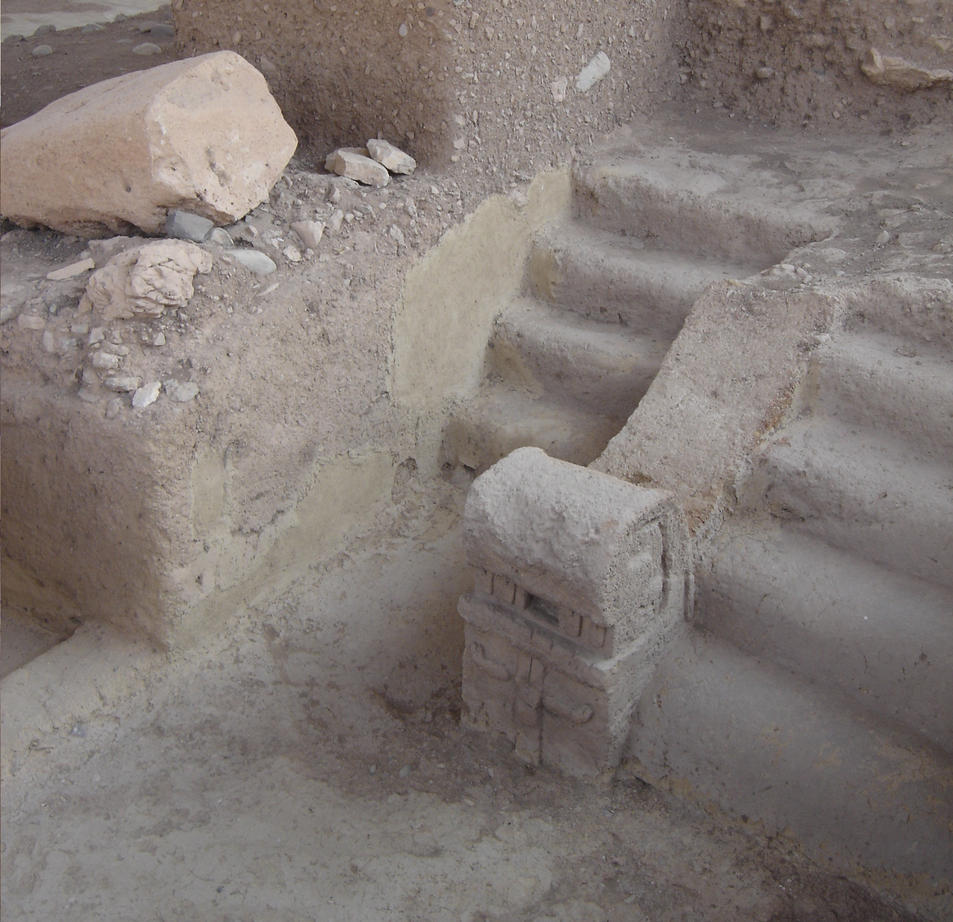
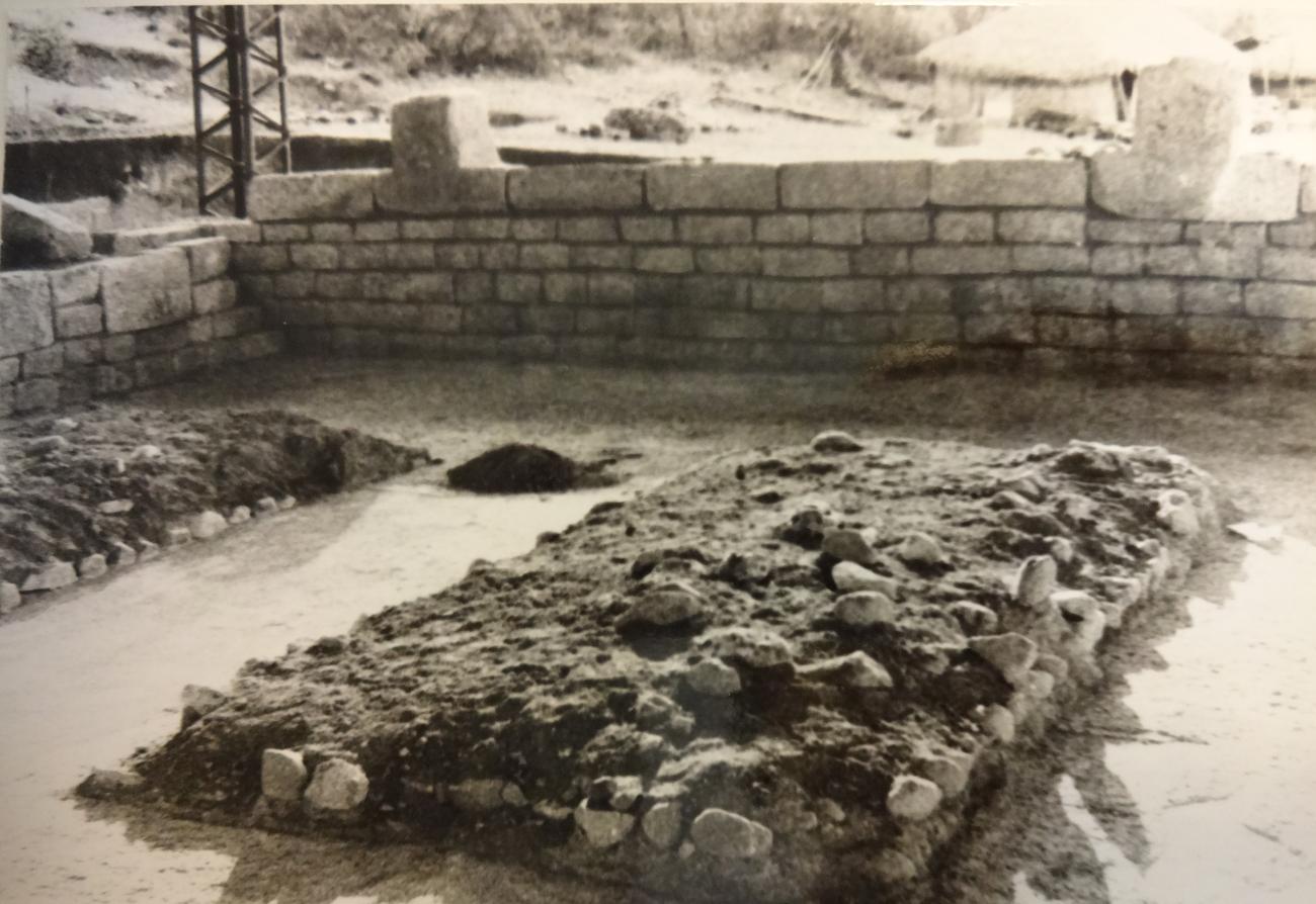
Among the most important Olmec features are the jaguars of the ballcourt ritual and the presence of a smaller sized “Olmec head,” as well as a monumentally large canal with stones more than 40 inches high.
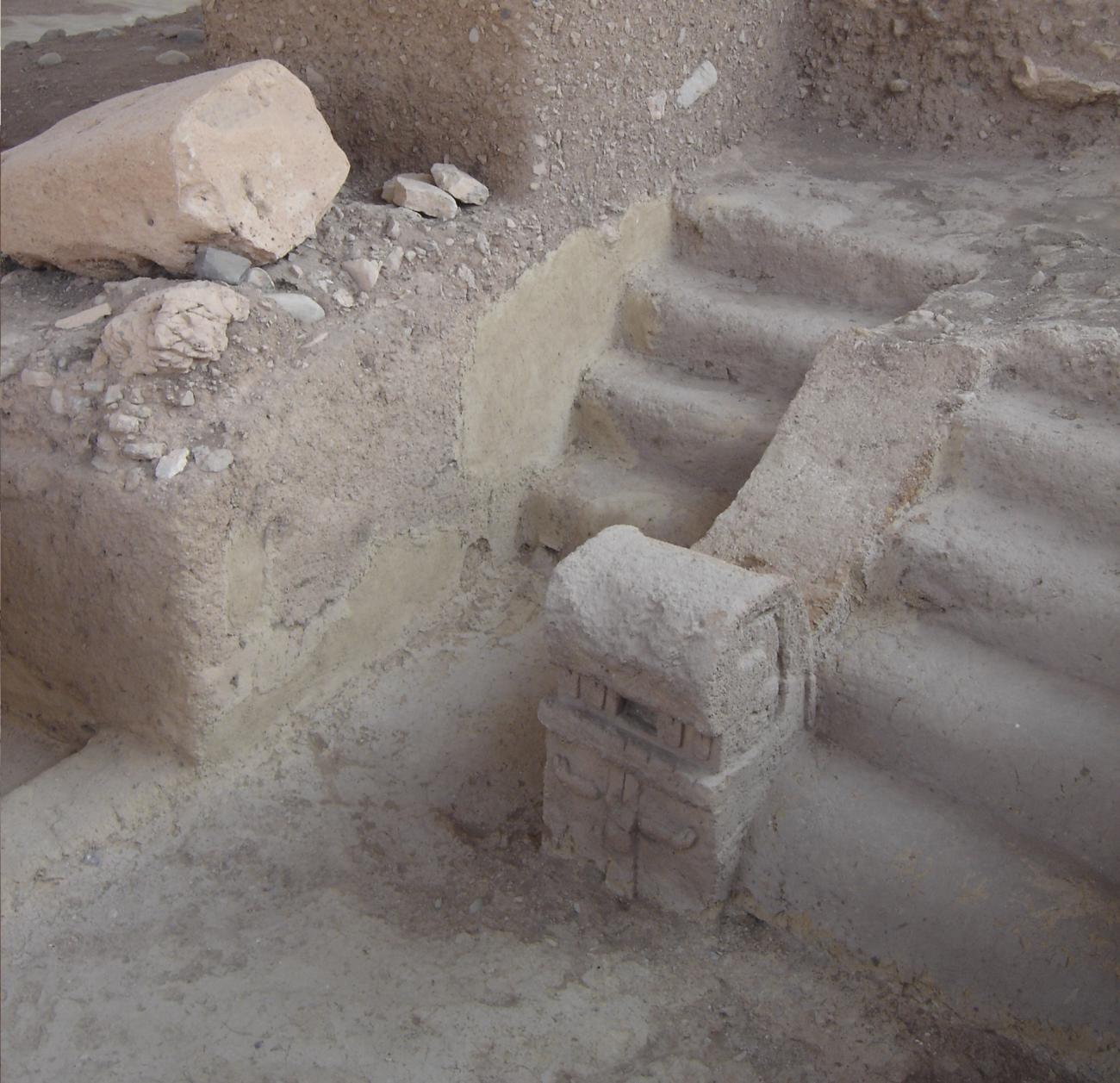
The presence of an aqueduct on the site suggests the importance of water to the ancient inhabitants, for agriculture as well as for ceremonial purposes.
- Dirección del Centro INAHHéctor Romeo Torres Calderónhector_torres@inah.gob.mx+52 (747) 471 7121
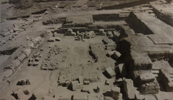
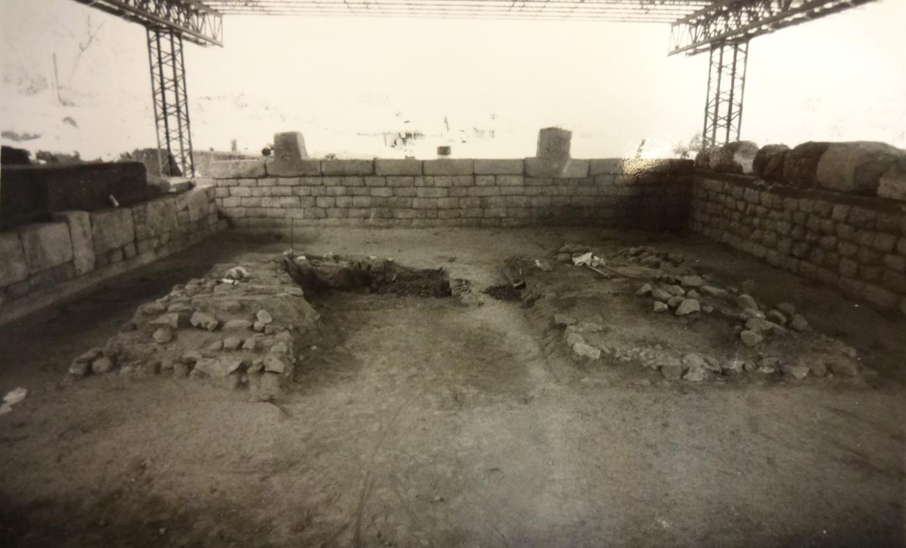
Patio Hundido o Recinto
Architecturally it is the most important structure of the site. Inside the Precinct there are four monoliths, two next to the east wall and two next to the west wall, placed symmetrically near the corners.
Architecturally it is the most important structure of the site. Inside the Precinct there are four monoliths, two next to the east wall and two next to the west wall, placed symmetrically near the corners.
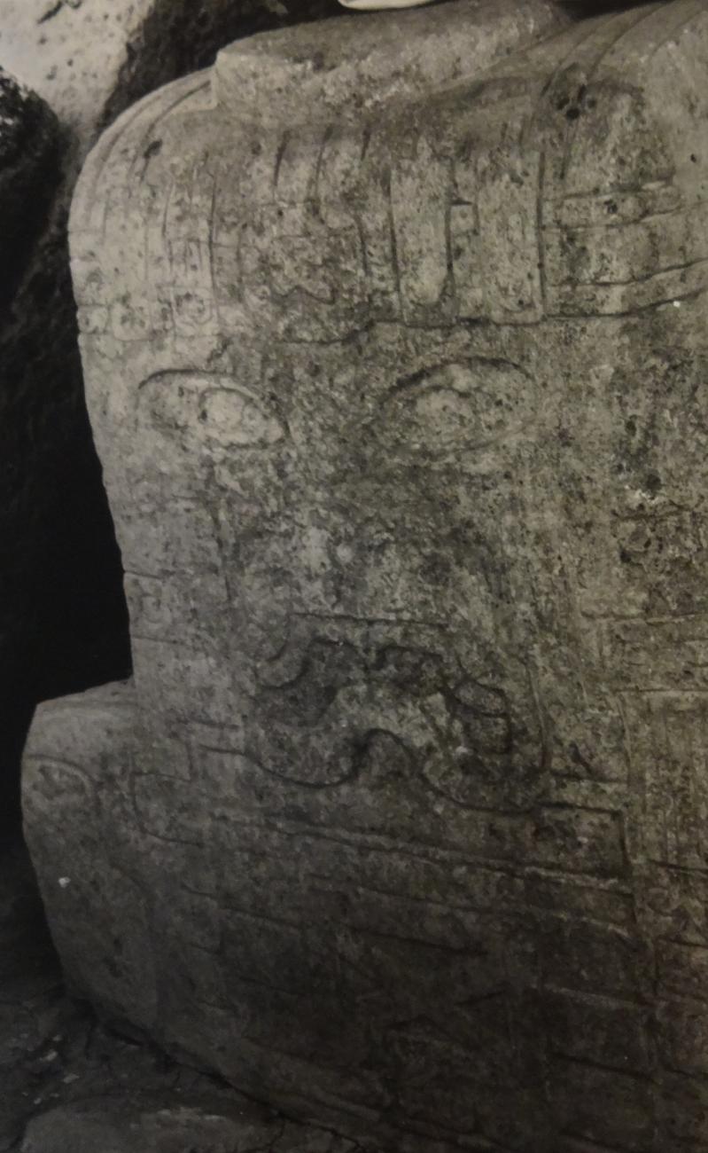
Monoliths: The monoliths measure 1.40 m to 2.20 m long; 1.15 m to 1.50 m high and 0.70 m to 0.90 m wide and their weight varies from 2.5 to 3 tons. They have the shape of an inverted T, in which the vertical part was used in its four faces to carve the head and the horizontal part, in its front side, to carve the torso and arms of each character.