









Tamtoc
Archeological site
Tamtoc
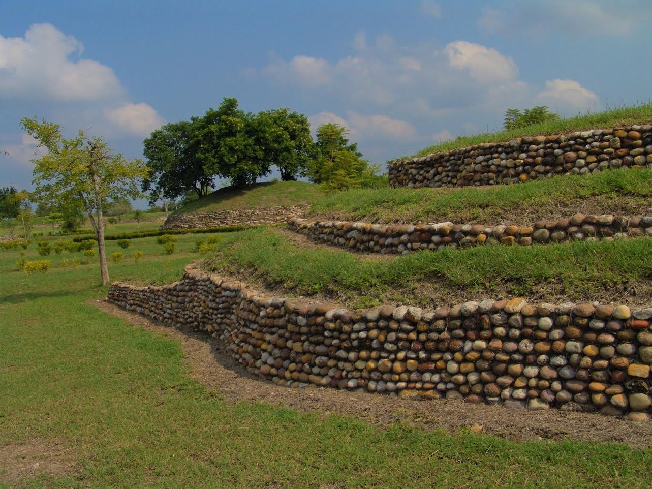
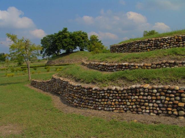
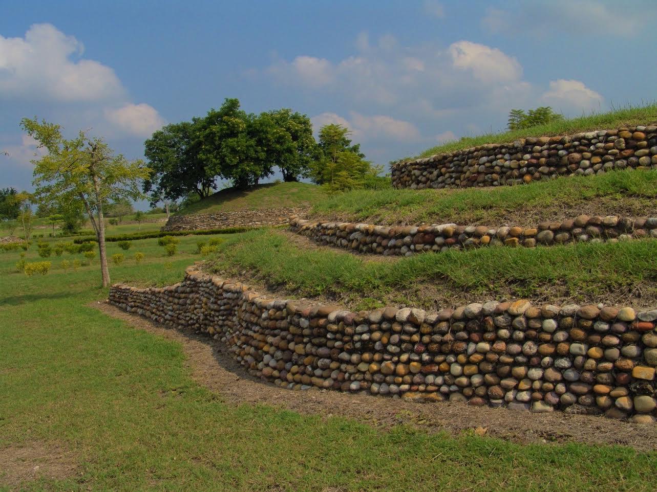
Located in the Huasteca Potosina region (900-1100 AD), with significant river trade, the site is remarkable for its pyramids, monoliths, stelae, mural paintings, the use of the calendar, circular buildings and amazing stone sculptures, such as the Venus of Tamtoc, which speaks of the important role of women.
For centuries, the ancient city of Tamtoc remained abandoned and hidden beneath dense rainforest until 1937, when the ethnology historian and archeologist Guy Stresser-Péan had the opportunity to carry out research work in the area; however, it was the engineer Joaquín Meade who made the discovery of the archeological site’s importance in 1942.
Meade was an expert on the Huasteca Potosina and his work is fundamental for any study of the region. In his publication "The Archeological Ruins of Huasteca Potosina" (1957), he mentions that, for their size, the pyramids of Tamtoc are the most significant in the area, and he describes the neighboring buildings and sites, as well as other discoveries.
At the end of the 1930s, the Museum of Archeology and Ethnology carried out work at various archeological sites in Huasteca, under the guidance of Enrique Juan Palacios and Wilfredo Du Solier. The latter worked on the El Consuelo site in 1946 (today known as Tamohí), during which period he carried out a few tours of the Tamtoc archeological site accompanied by Doctor Gordon Ekholm.
From 1962 to 1964, three seasons of fieldwork were carried out under the direction of Guy Stresser-Péan. This work included contributions from scientific consultants, technicians, restorers and engineers.
As a result, in 2001, the book “Tamtok Huasteco archeological site, its history, its buildings, vol. I” was published. The authors, Guy and Claude Stresser-Péan, presented the first results from this series of investigations relating to the historical and social evolution of the Tamtoc site. Later, in 2005, they published “Tamtok, Huasteco archeological site: daily life, volume II”, significantly contributing to the knowledge of the site's material culture.
In 1994, the archeologist Patricio Dávila, from the INAH Center in San Luís Potosí, resumed excavation work with the aim of understanding a number of aspects of the site’s architecture. Based on this intervention, in 2002 he wrote “Tantoc: a Huasteca city," and together with Diana Zaragoza, presented a number of lectures.
In 2001, the Tamtoc Archeology Project began again under the guidance of Guillermo Ahuja. It was financed by the Archeological Trust for the Recovery of Tamtoc, comprising the National Institute of Anthropology and History (INAH), the San Luís Potosí State Government and Banamex Cultural Development. During this period, further excavation and conservation of buildings were carried out. This included the exploration of the area of La Noria, particularly the recovery of Monument 32, the construction of the service area and the opening of the archeological site to the public in May 2006.
From October 2008 until the present day, the INAH has maintained the archeological project “Origins and Development of the Urban Landscape of Tamtoc, San Luís Potosí," with the participation of a group of specialists in various fields of anthropology who are interested in the study of the site, under the direction of Estela Martínez Mora.

Plaza Principal
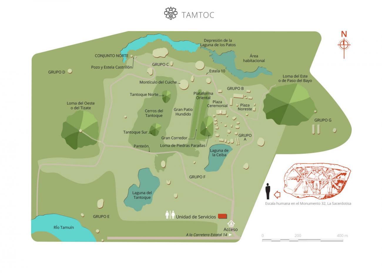
It is an architectural group made up of 23 structures, of which 18 surround the plaza and 5 are located above the esplanade itself. Most of the structures have been identified as bases of houses belonging to the group in power, due not only to their architectural layout, but also to the rich…
Plaza Principal
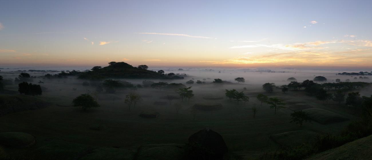

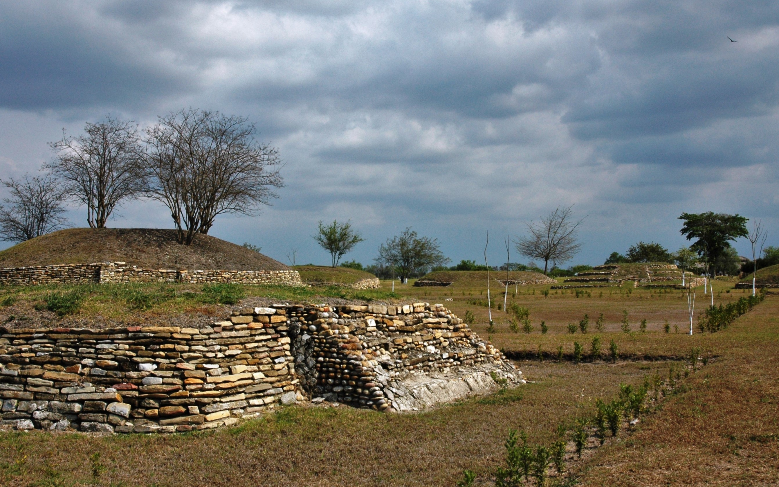
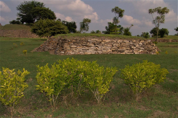
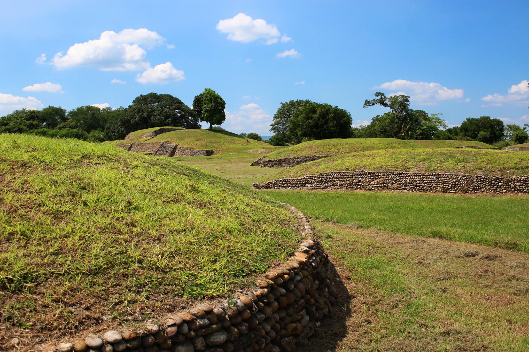
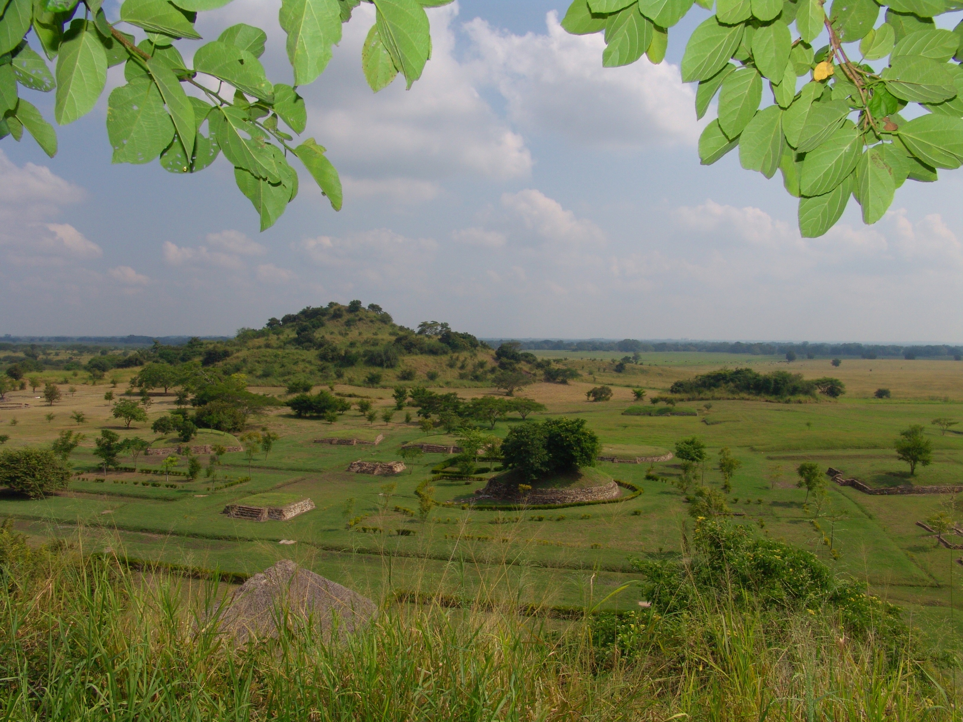
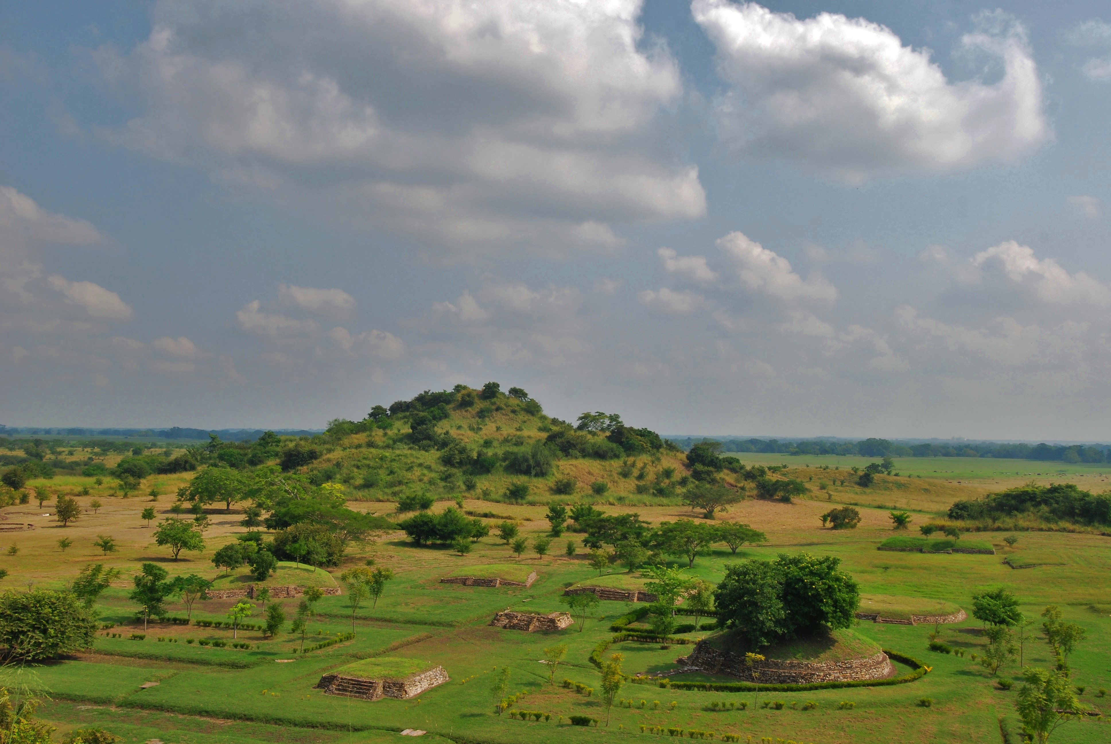
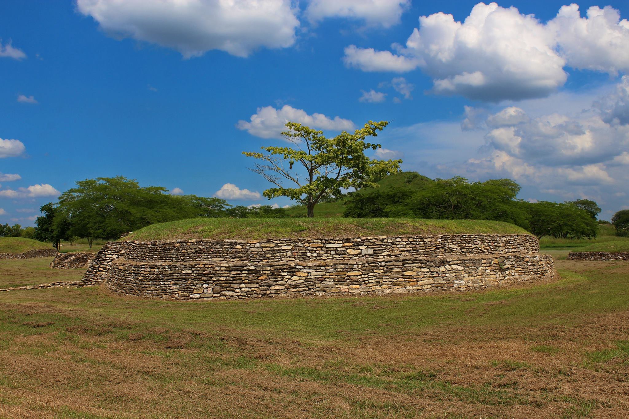
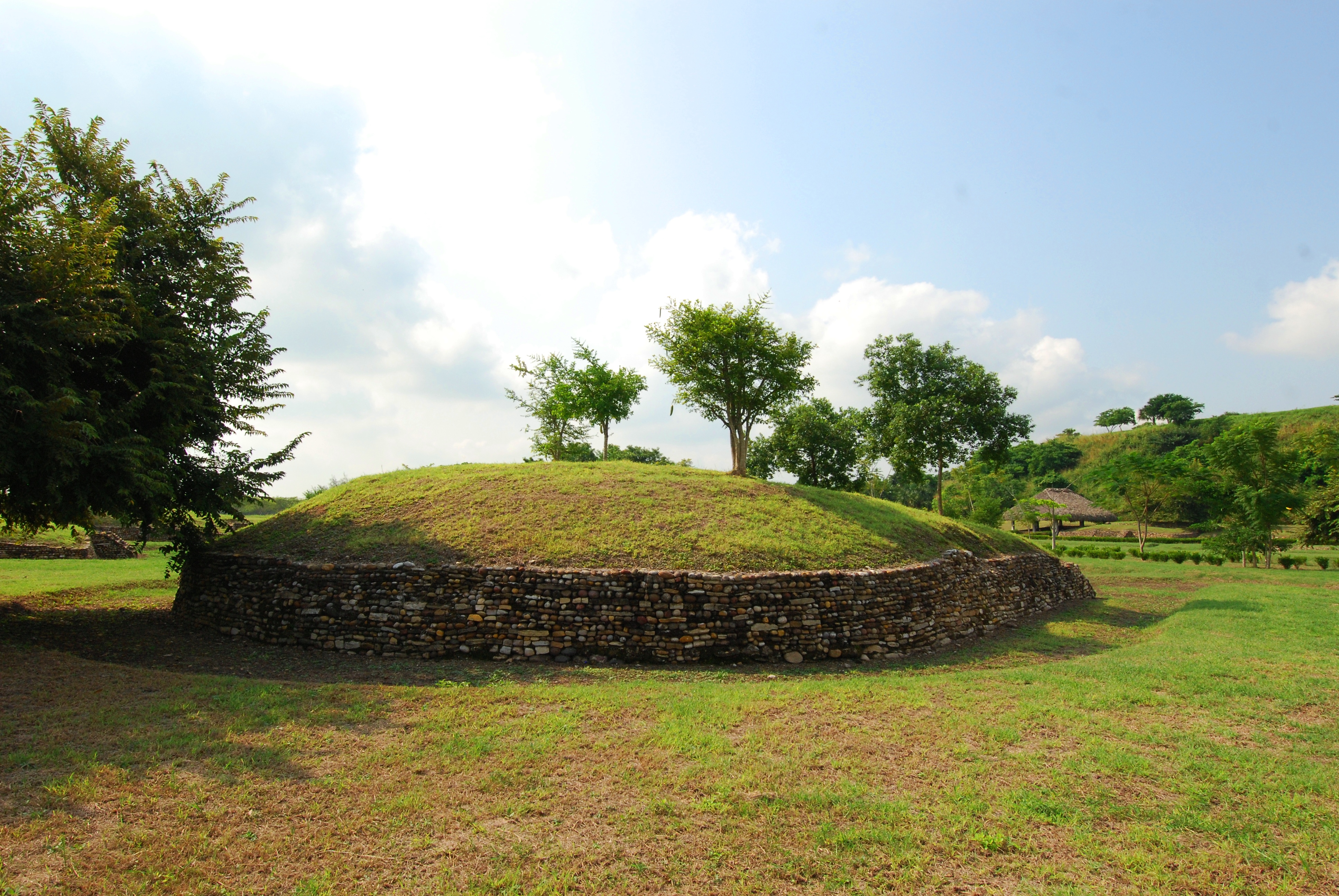
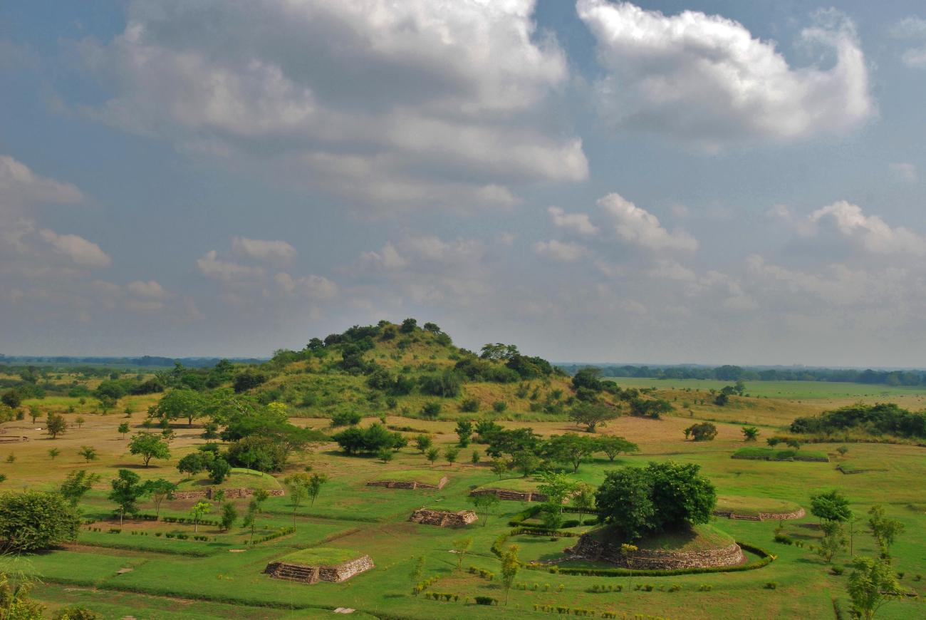
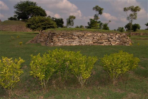
It is an architectural group made up of 23 structures, of which 18 surround the plaza and 5 are located above the esplanade itself. Most of the structures have been identified as bases of houses belonging to the group in power, due not only to their architectural layout, but also to the rich offerings that were found inside several of them. Some smaller structures apparently did not serve as foundations for a temple, but rather as altars for the public rituals that took place here.
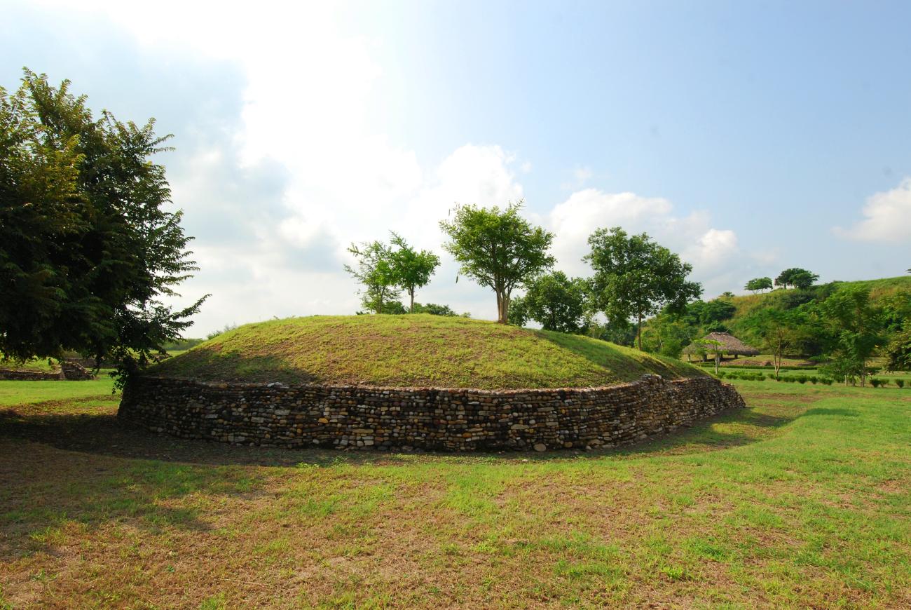
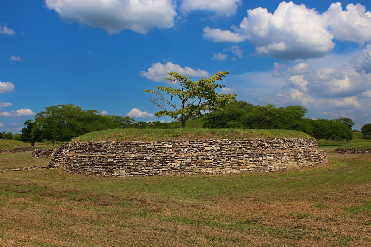
The Main Plaza dates from at least two different periods. A first phase of occupation occurred between 600 and 900 A.D. and is represented by the circular structures. Some of these structures were covered by later construction phases, so the buildings, as they are seen today, correspond to the period from 900 to 1350 A.D. when the settlement reached its peak.
La Noria y Monumento la Sacerdotisa
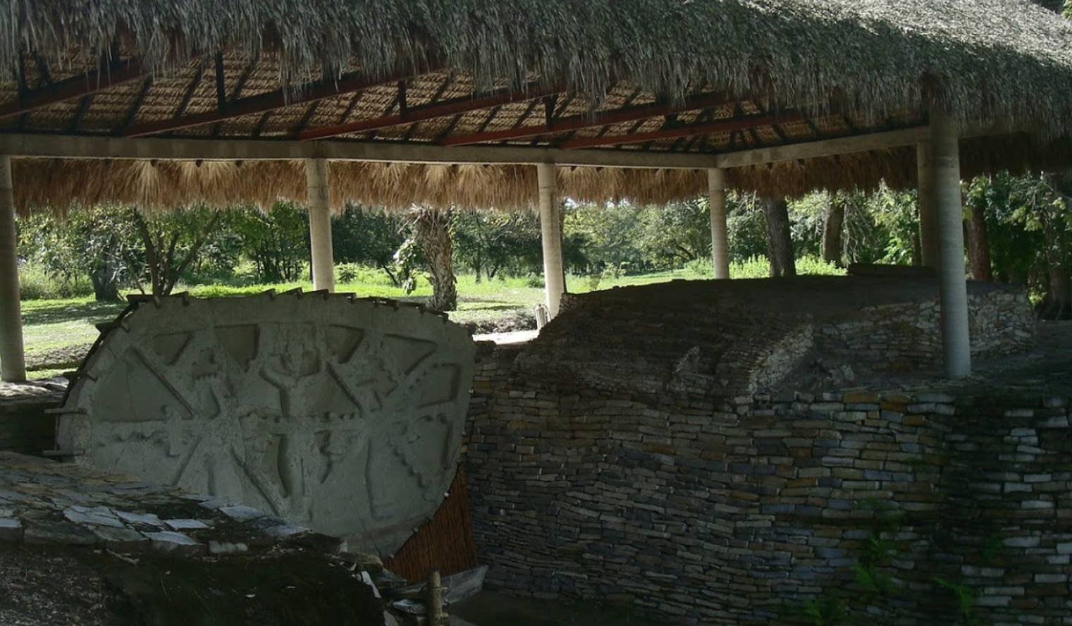
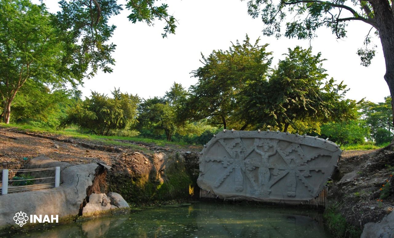
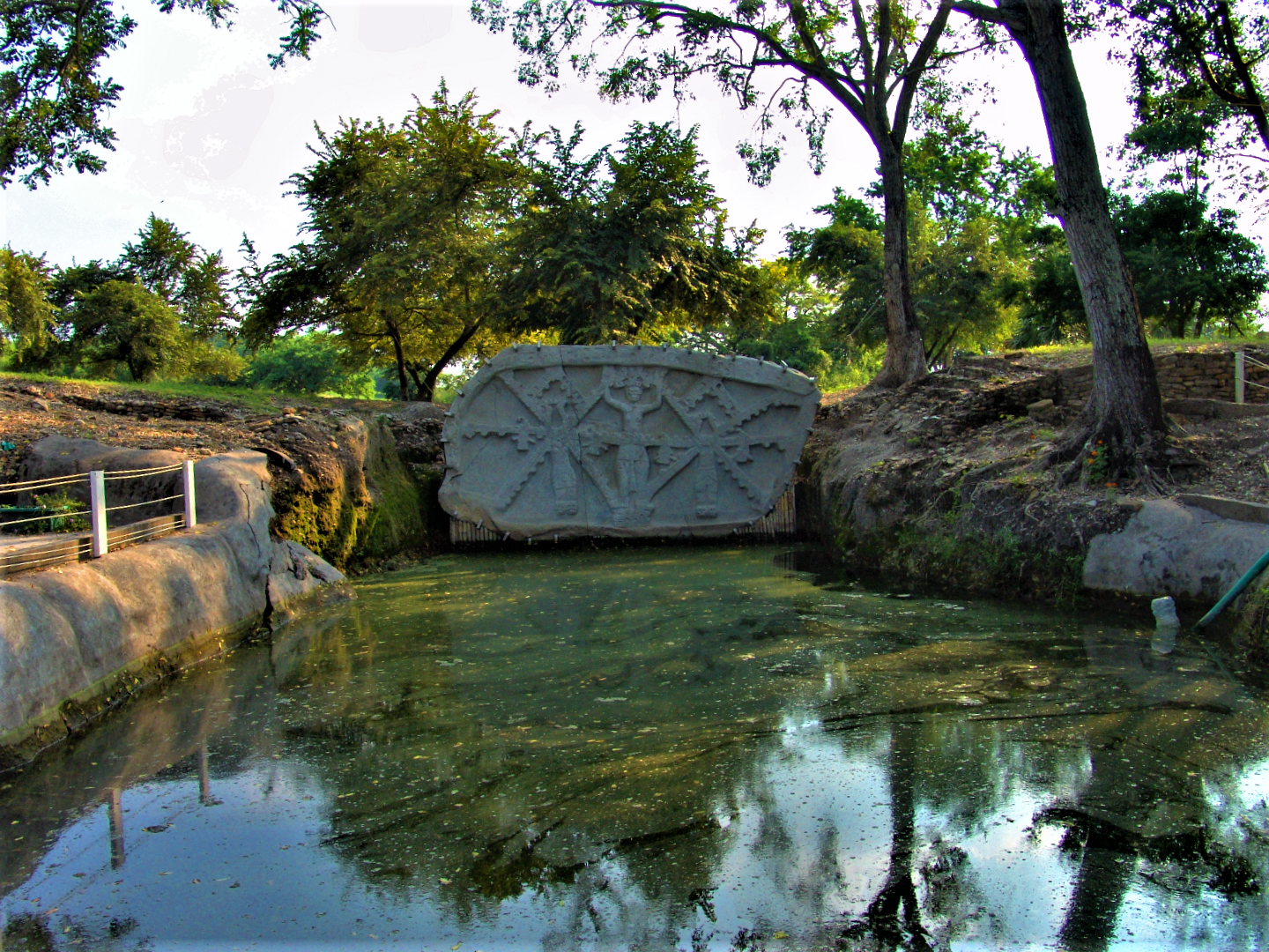
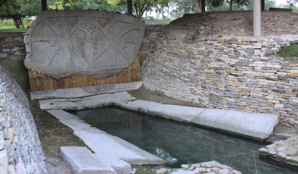
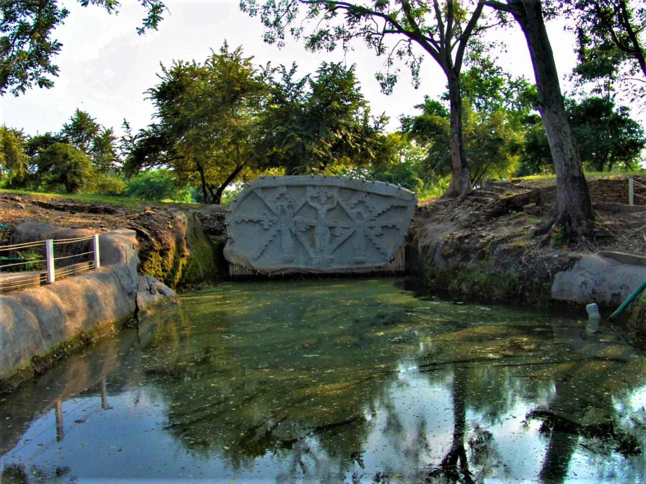
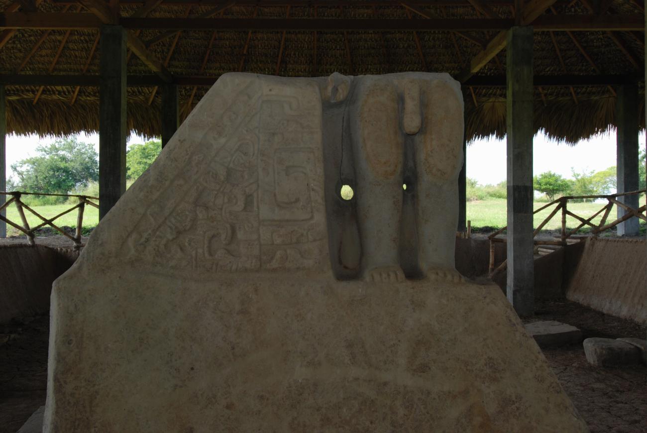
The La Noria complex is part of Group C, but it stands out because Monument 32 or The Priestess was found there, a slab of approximately 3m x 7m that was erected on the site of its discovery and that can be appreciated during the tour, along with the canal systems of the area, the Laguna de los…
La Noria y Monumento la Sacerdotisa
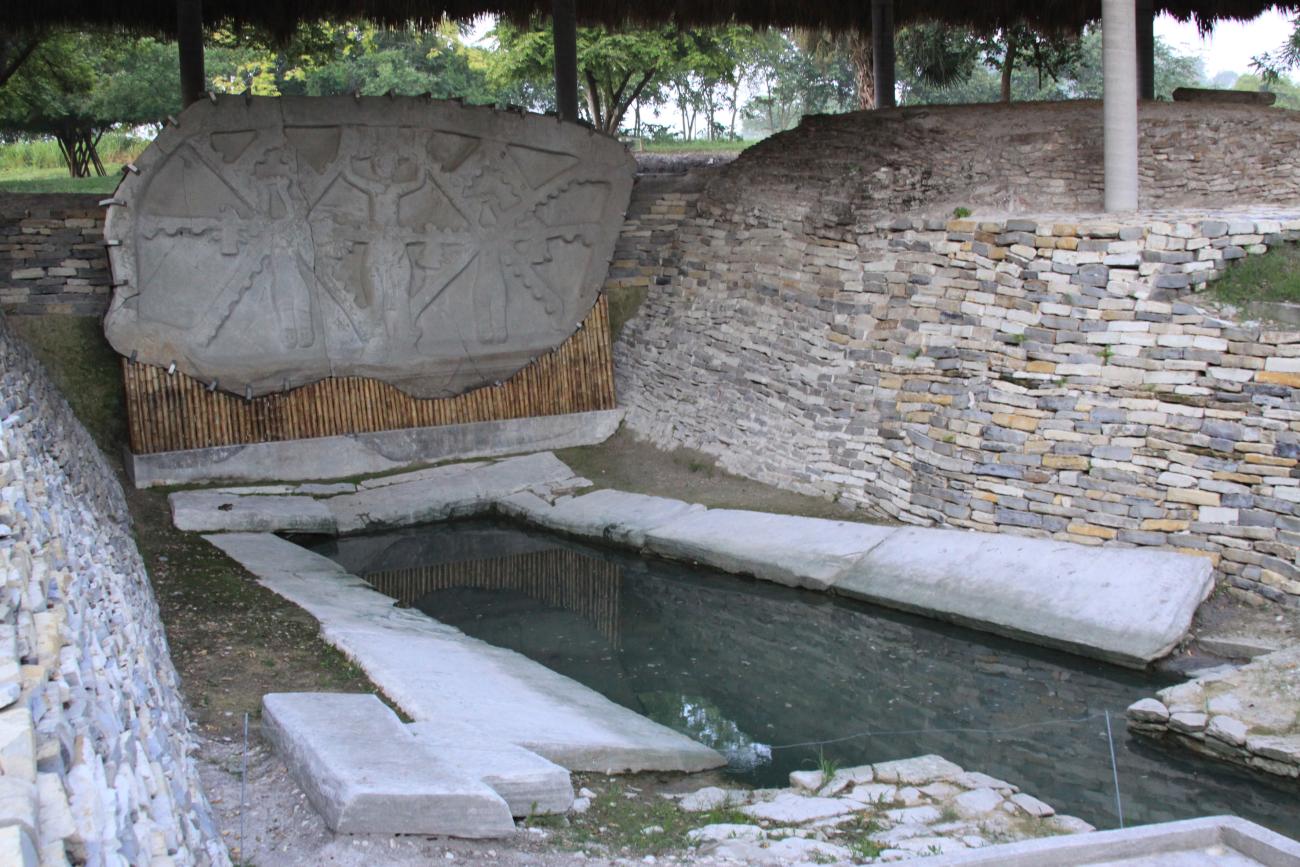
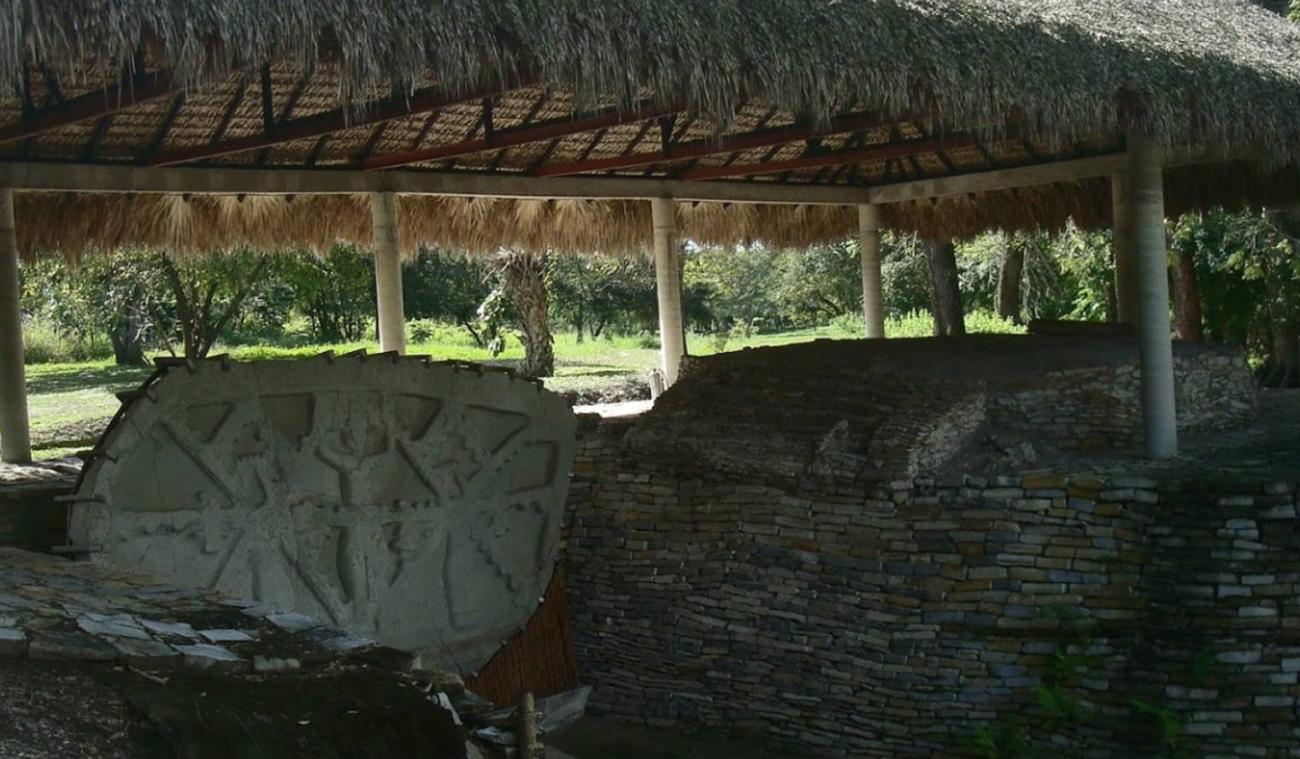
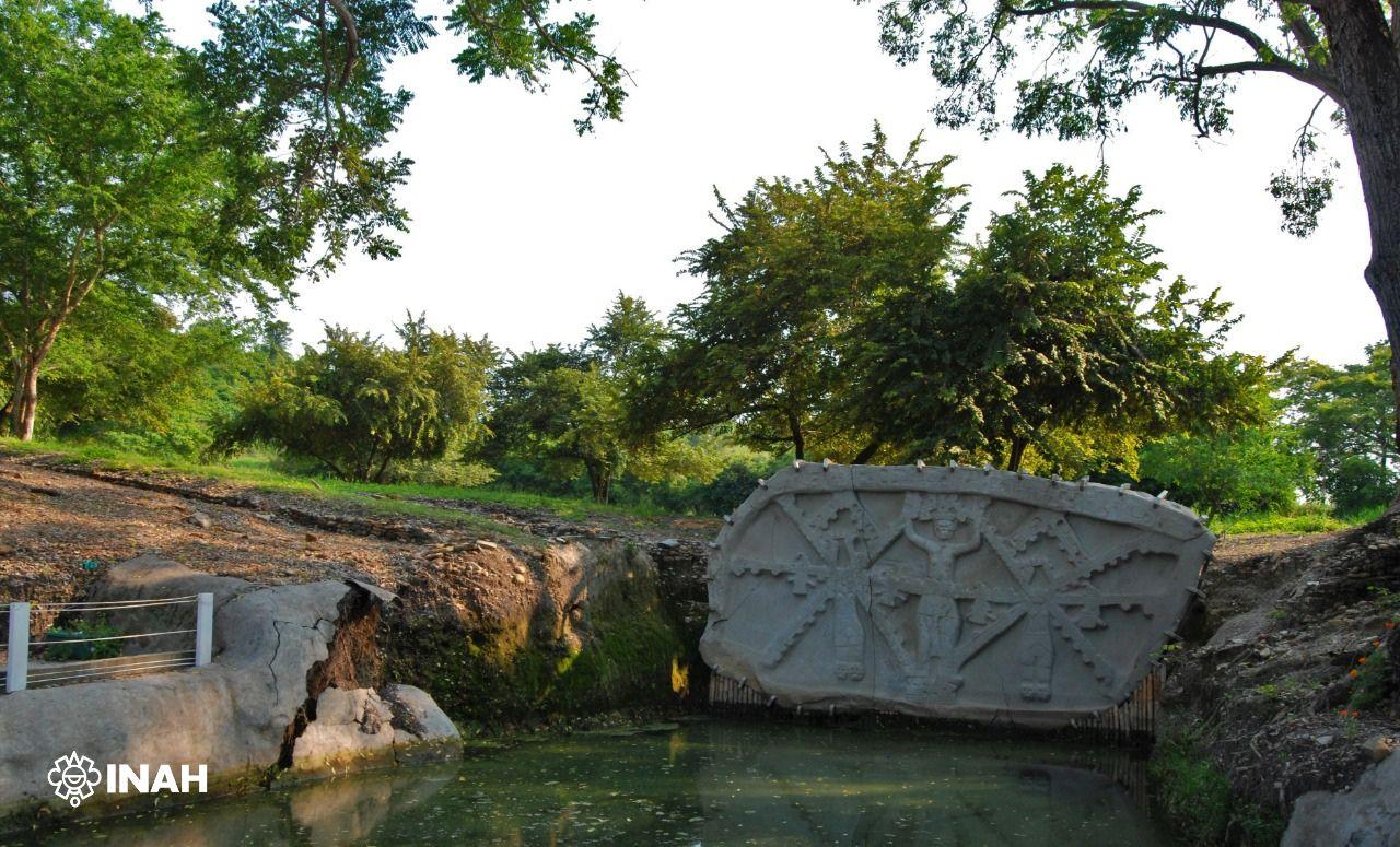



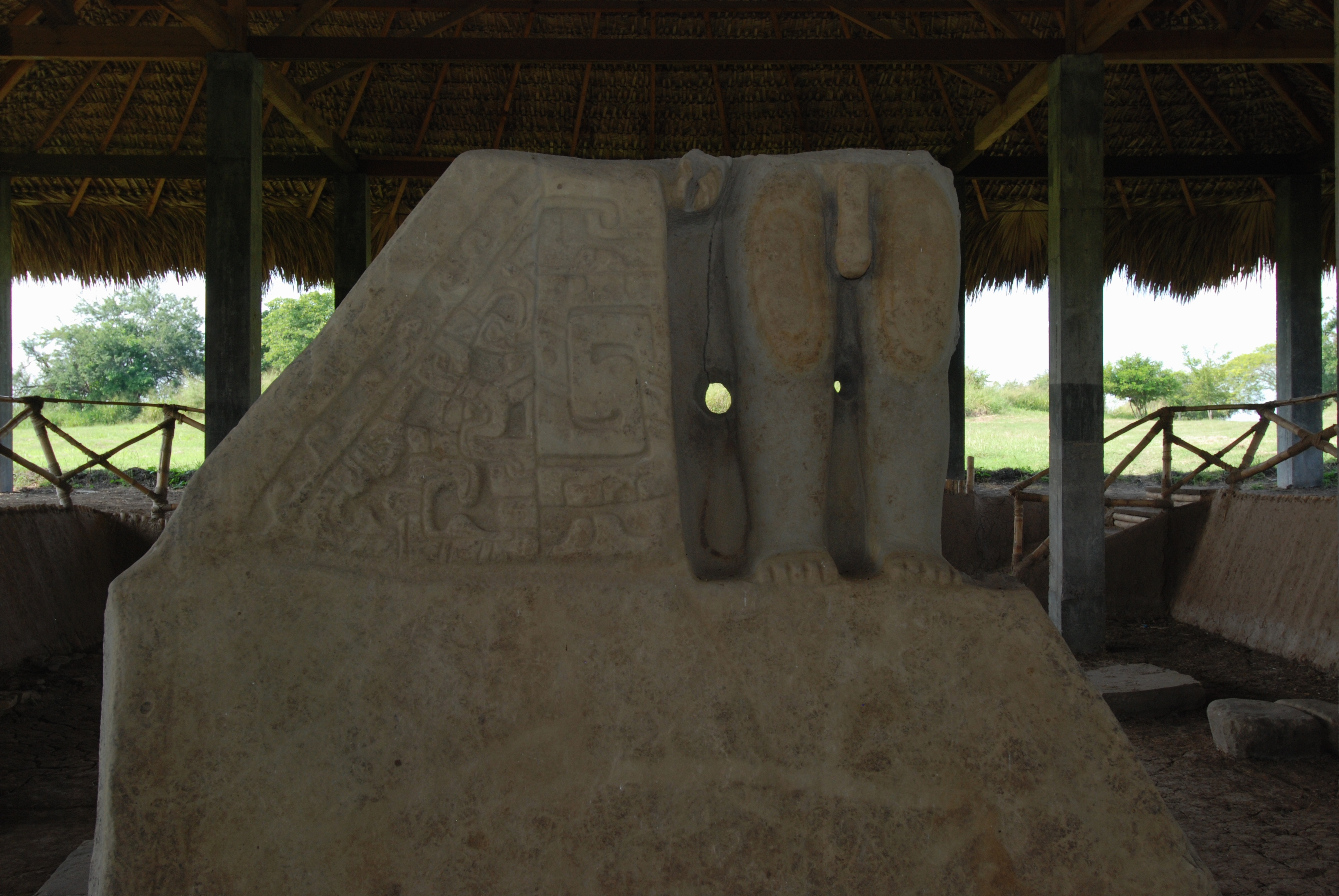
The La Noria complex is part of Group C, but it stands out because Monument 32 or The Priestess was found there, a slab of approximately 3m x 7m that was erected on the site of its discovery and that can be appreciated during the tour, along with the canal systems of the area, the Laguna de los Patos and other monuments dating from a very early period, around 600 B.C. It is assumed that this is where the settlement originated, due to the importance of water for the city and that it is expressed in the representations and the quality of the monumental sculpture. It is assumed that this is where the settlement originated, due to the importance that water had for the city and that is expressed in the representations and the quality of the monumental sculpture. The area was modified between 600 and 900 A.D. and we know that daily production tasks were also carried out here. Another occupation of the area between 900 and 1350 A.D. led to new modifications of the area, platforms were added that seem to have carried small temples, shrines, and a walkway, which at least in part covered rooms from the previous phase. Some of the late structures are associated with public rituals. A group of burial mounds stands out, from which more than eighty human skeletons have been recovered, corresponding to individuals of different ages and sexes, who in life suffered strong infectious processes.

Grupo B y el Cubilete
Group B, located at the foot of the structure El Cubilete, which with its three bodies delimits the east side of the monumental area of Tamtoc and served as an orientation point. It is made up of 10 structures, nine of which surround a plaza. In the esplanade there is a platform with a walkway and…
Grupo B y el Cubilete
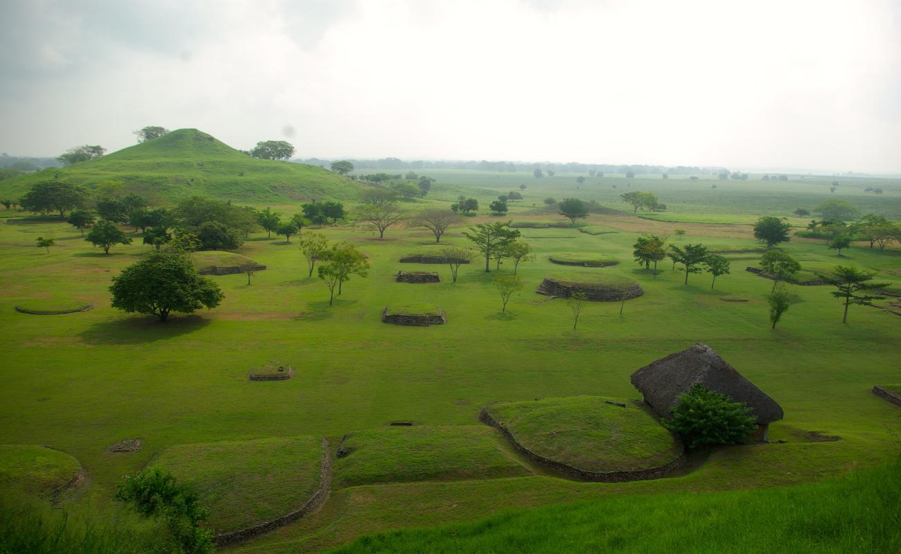
Group B, located at the foot of the structure El Cubilete, which with its three bodies delimits the east side of the monumental area of Tamtoc and served as an orientation point. It is made up of 10 structures, nine of which surround a plaza. In the esplanade there is a platform with a walkway and a stela, and a circular structure with four doors, which has recently been associated with the observation of celestial bodies. Based on the archaeological materials found here, we can say that the architectural group housed housing functions and textile production.
Grupo F y Monumento el Gobernante
Group F extends along the south of the site and consists of a series of large platforms and isolated structures, several of which can be associated with residential and production functions, although in some rich offerings and ornaments apparently worn by a social elite have been found. The…
Grupo F y Monumento el Gobernante
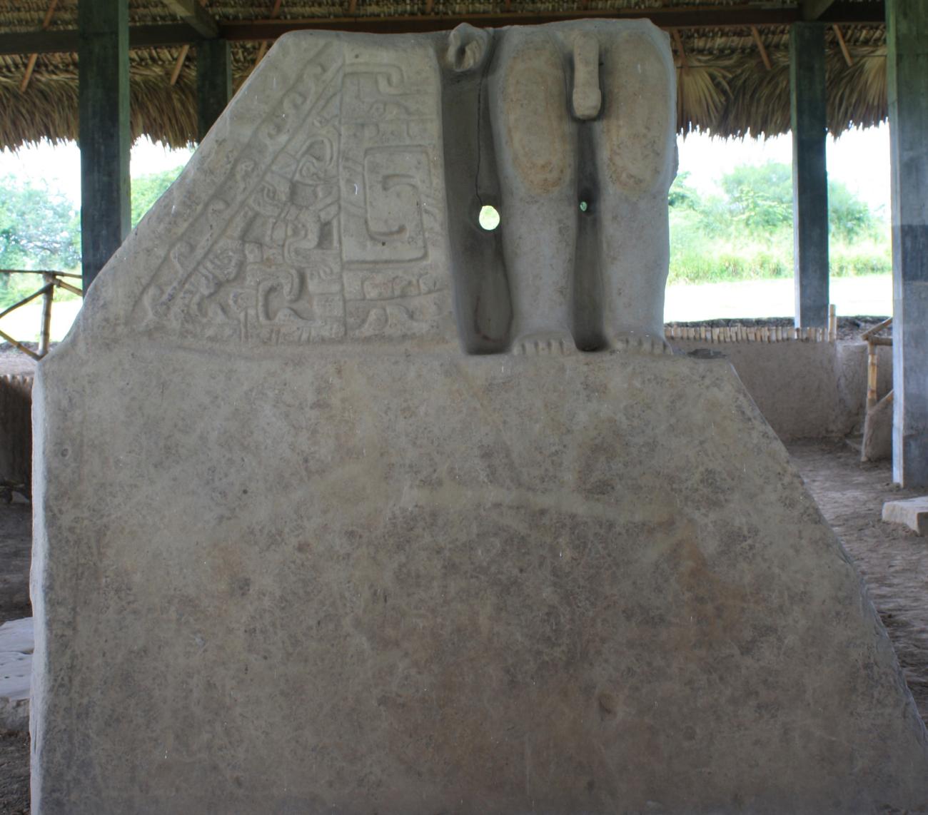
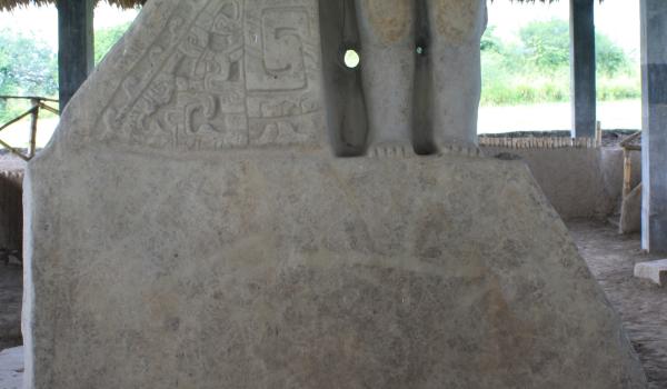
Group F extends along the south of the site and consists of a series of large platforms and isolated structures, several of which can be associated with residential and production functions, although in some rich offerings and ornaments apparently worn by a social elite have been found. The monument El Gobernante is the lower part of a male human sculpture that may represent an important personage, perhaps a ruler of Tamtoc, since the position of his hand seems to be designed to carry a staff of command. His nudity has been interpreted as an expression of the importance of fertility among these peoples.
El Tizate
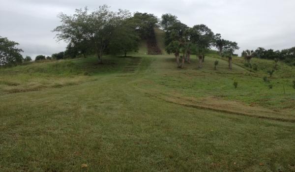
It is one of the largest basements of the site and has a staircase on the east side. The name of the structure derives from a deposit of crystallized carbonates or volcanic ash, known locally as tizate and used in the manufacture of ceramics. From the top of El Tizate, which is the western marker…
El Tizate
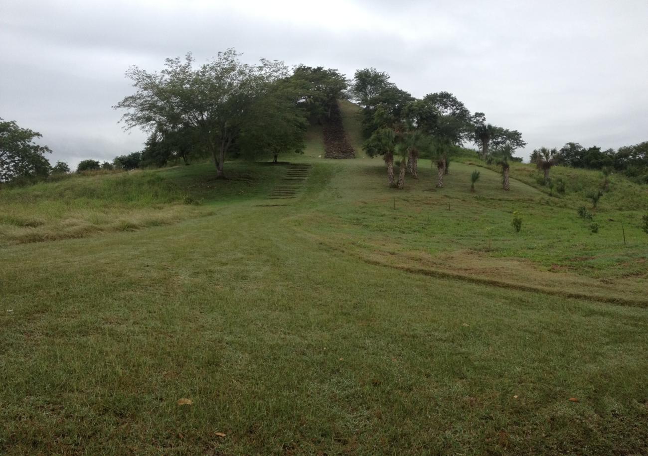
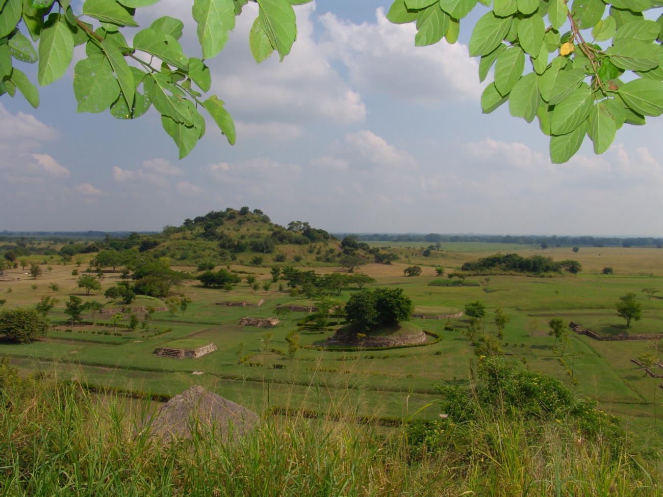
It is one of the largest basements of the site and has a staircase on the east side. The name of the structure derives from a deposit of crystallized carbonates or volcanic ash, known locally as tizate and used in the manufacture of ceramics. From the top of El Tizate, which is the western marker of the urban nucleus of Tamtoc, a large part of the site and its surroundings can be seen, and on good weather days it is possible to see the slopes of the Sierra Tanchipa - El Abra and further south, the peaks of the Sierra Madre Oriental. El Tizate is associated with activities related to astronomical observations, important for the cosmovision of the society, the control of time and agriculture, and possibly carried out from the temple that was found in its upper part.



Contact
- Dirección del Centro INAHImelda Aguirre Mendozaimelda_aguirre@inah.gob.mx+52 (444) 813 4941
