


Oxkintok
This site offers calendar inscriptions, beautiful stone columns of anthropomorphic design, stelae, pyramids, a labyrinth which is scary to get lost in and a secret door to the underworld. Oxkintok is little known although it is one of the most important and longest occupied Mayan settlements in Yucatan.
The Oxkintok archeological site is situated 34 miles south of the city of Merida, Yucatan, in the municipality of Maxcanu, 2.5 miles east of the town of the same name. The site is 130 feet above sea level in the Puuc hills. Puuc in Maya means hill.
This site was known as Maxacan or Tzat Tun Tzat. It underwent its stage of development and political expansion during the Early Classic (300-550). The basis for its dominance was its location as an important point on the trade routes between the Peninsula and other regions such as the Gulf of Mexico and the Central Highlands. This was the period when the majority of its Early Oxkintok style pyramids and palaces were built, demonstrating advanced knowledge of building methods.
A change known as the Oxkintok regional phase occurred at the end of the Early Classic in the sixth century heralding the development of the Puuc region specifically. At this moment it became a wealthy and prosperous city, with monumental architecture, abundant sculpture and royal tombs. A new stage of development arose, which is manifest in the architectural style known as Proto-Puuc, an example of which is the change from stepped vaults to jutting flagstones and new and improved stoneworking techniques.
According to the inscriptions, in the early eighth century, during the Late Classic period, there was a ruler called Walas. The evidence points to this ruler establishing a strong process of centralization. The Puuc tradition was predominant around the Terminal Classic (850-1000). The city began to lose its status and it is thought that the regional seat of power transferred to Uxmal. Postclassic occupation (1000-1450) can be noted from the renovation of the palace facades, the construction of shrines and the leaving of offerings, including incense burners.
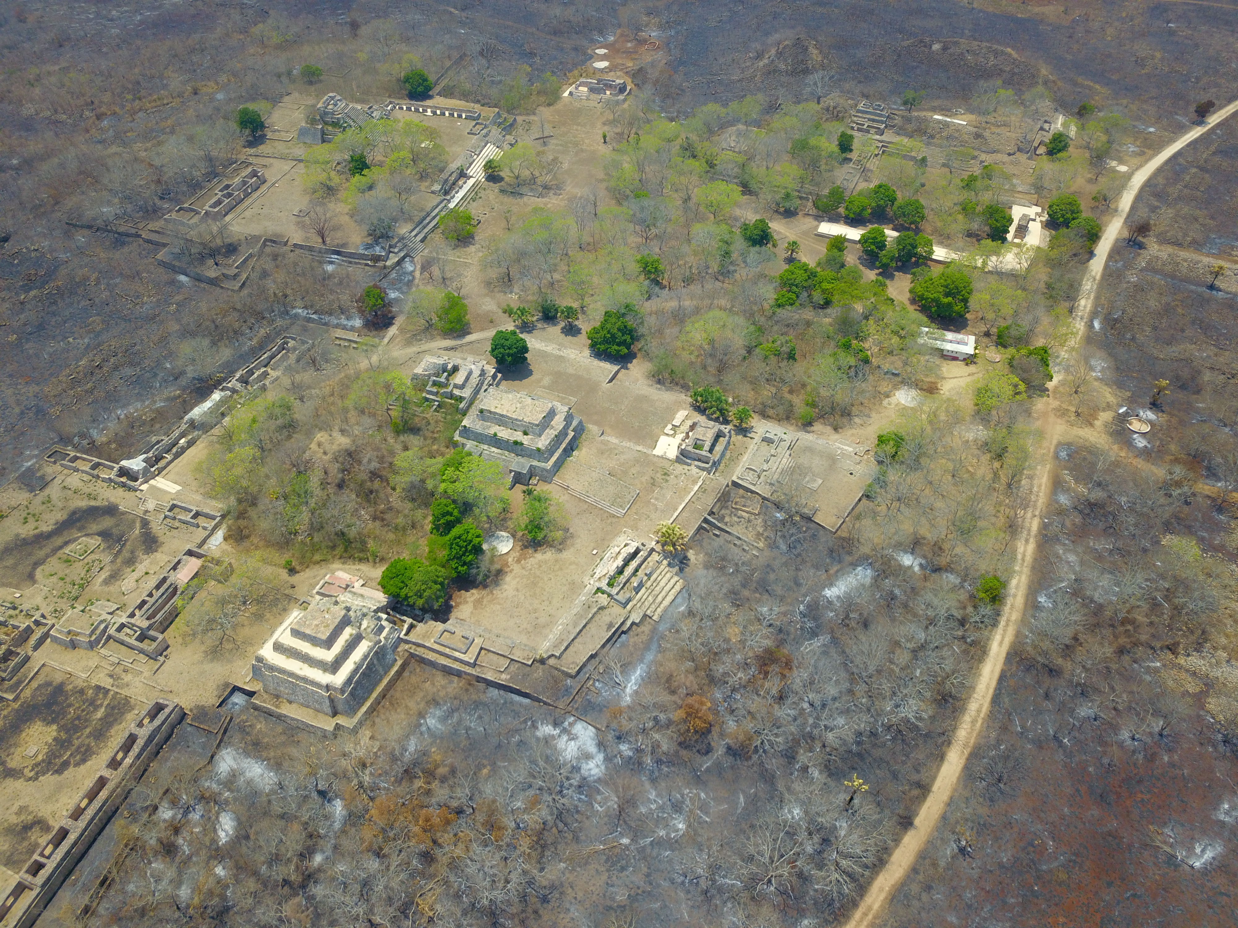
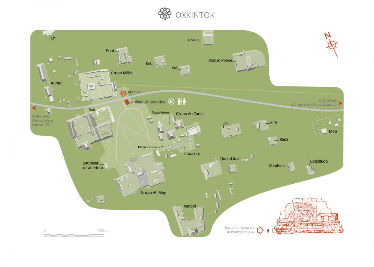
The site is characterized by its structures laid out on large plinths in the shape of a great “L” oriented from northeast to southeast. Some of the architectural groups are linked by a wide network of sacbeoob, the Mayan white roads or pathways.
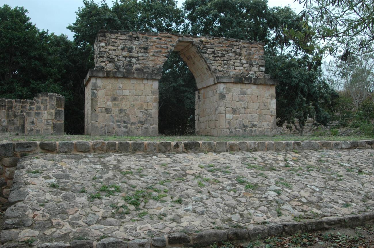
In addition to what is known as the Central Core there is evidence of minor structures, caves (actuns), cisterns (chultuns) and stelae dispersed across the whole site. The site’s best known groups are Ah Camul, Ah May, Ah Dzib and the structure known as Satunsat or the Labyrinth. Together these make up the Great Plaza.
- Dirección del Centro INAHVictor Arturo Martínez Rojasvictor_amartinez@inah.gob.mx+52 (999) 913 4034Administración del Centro INAHFelipe de Jesús Flores Lagunafelipe_flores@inah.gob.mx+52 (999) 913 4034, ext.398006
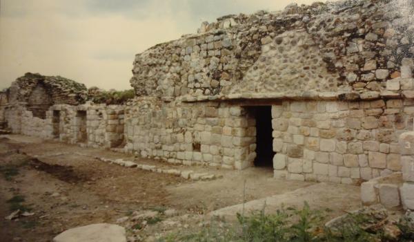
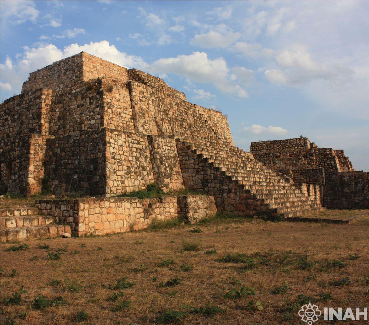
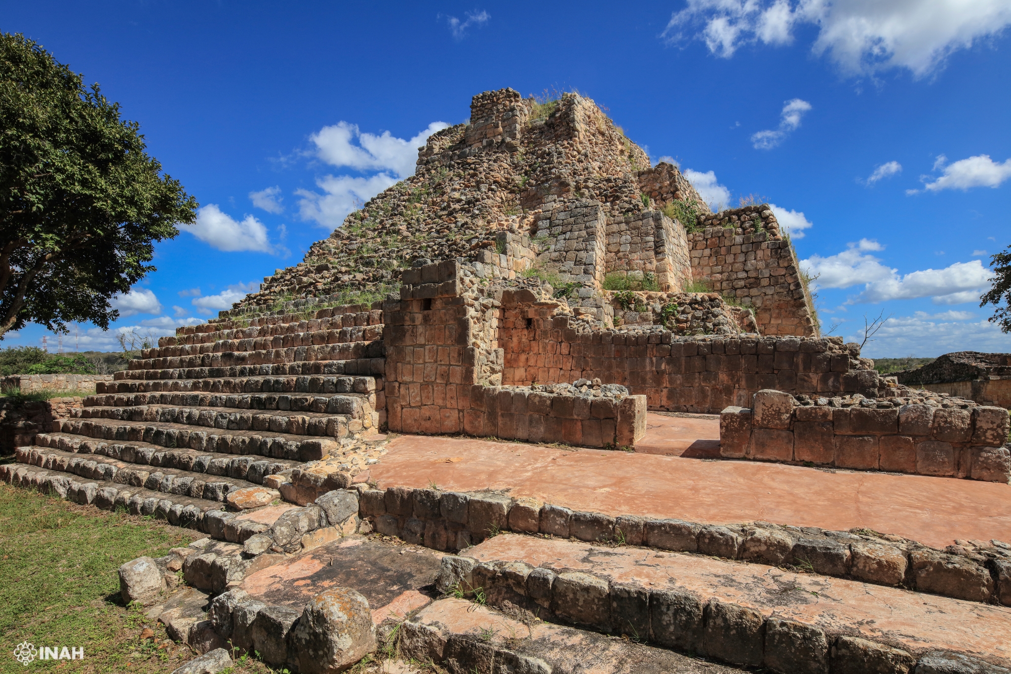
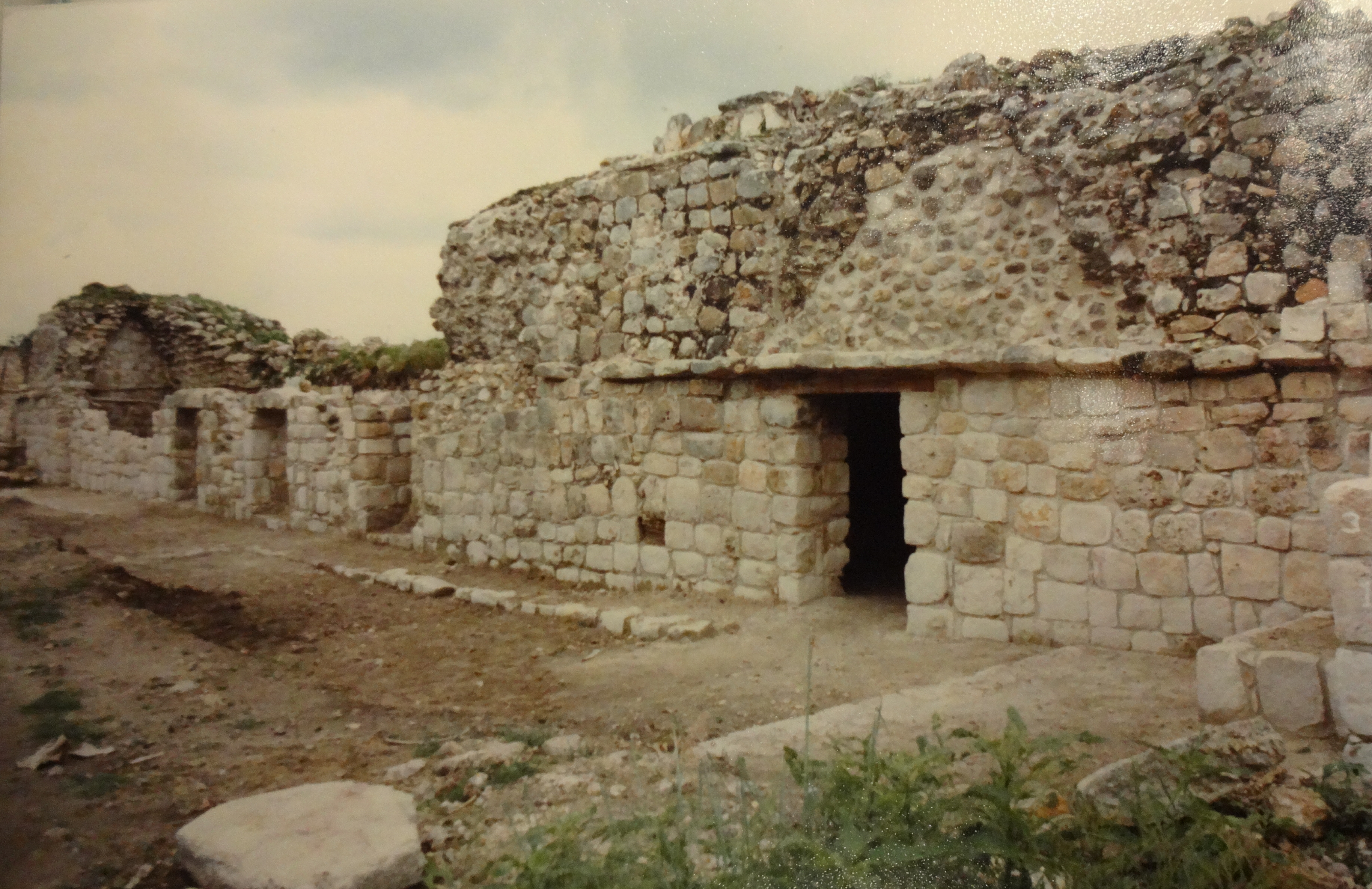
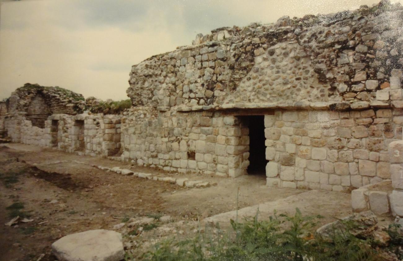
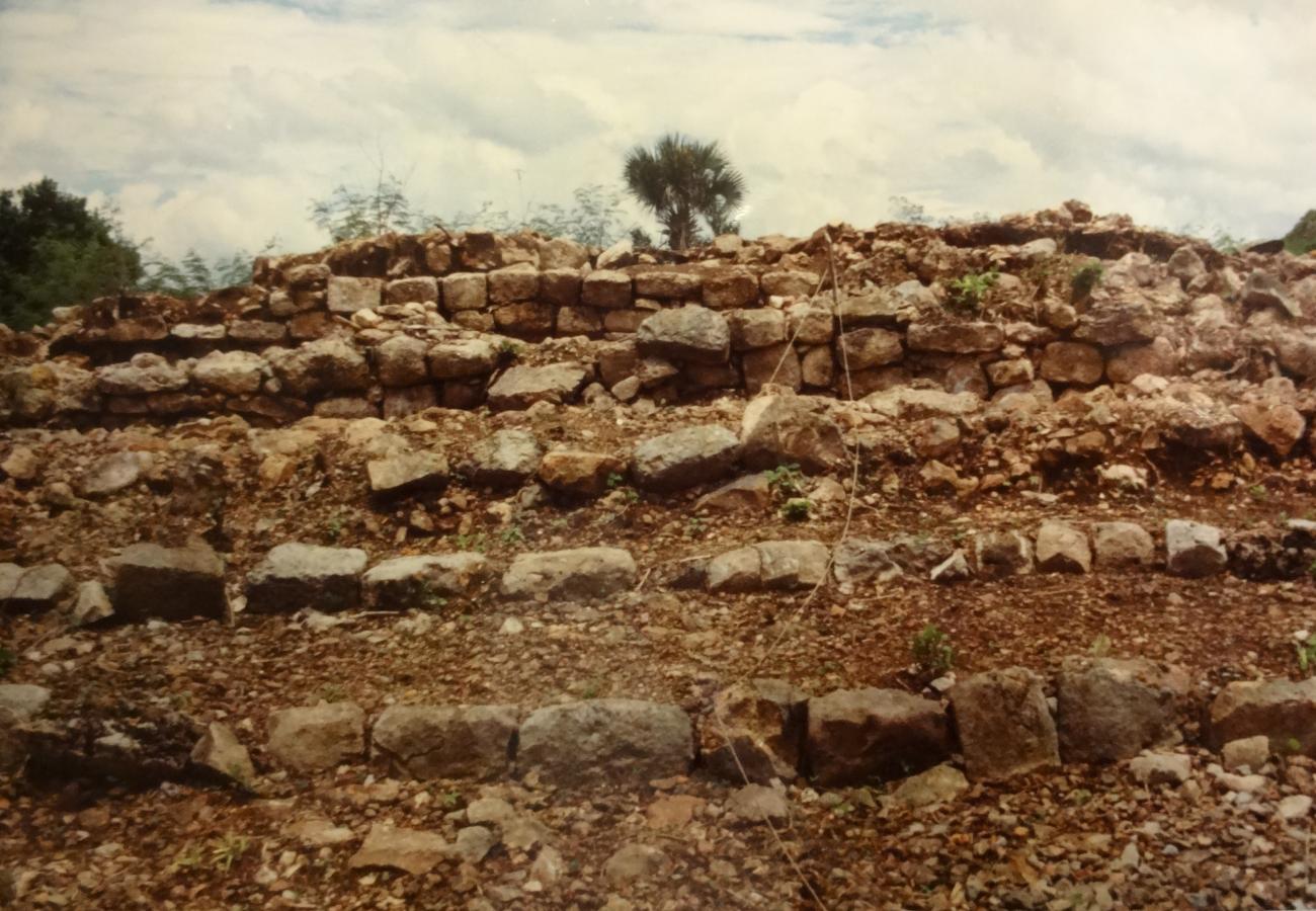
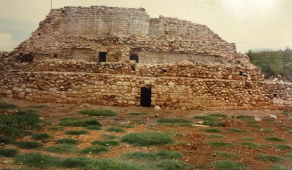
Grupo Ah Canul
Architectural complex located to the north of the May complex. Ah Canul is one of the central acropolis of the city of Oxkintok. It has an approximate area of 15,000 m2 and is architecturally conformed by a polygonal foundation base, as a result of the different constructive stages.
Architectural complex located to the north of the May complex. Ah Canul is one of the central acropolis of the city of Oxkintok. It has an approximate area of 15,000 m2 and is architecturally conformed by a polygonal foundation base, as a result of the different constructive stages.
On the foundation base there are about 25 buildings, five pyramidal structures, eleven palaces, domestic rooms, altars, access stairs, chaltunes and sacbeos.
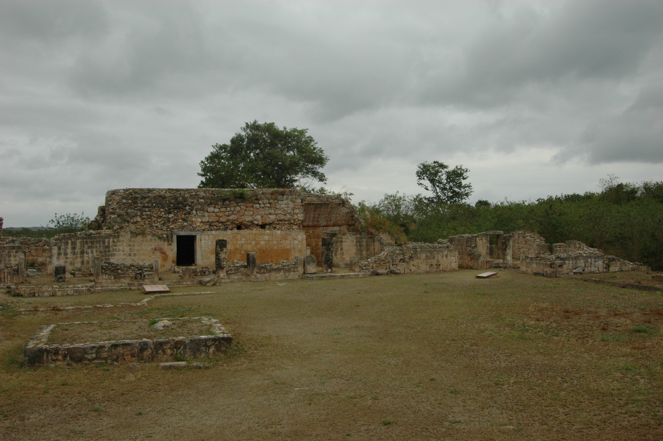
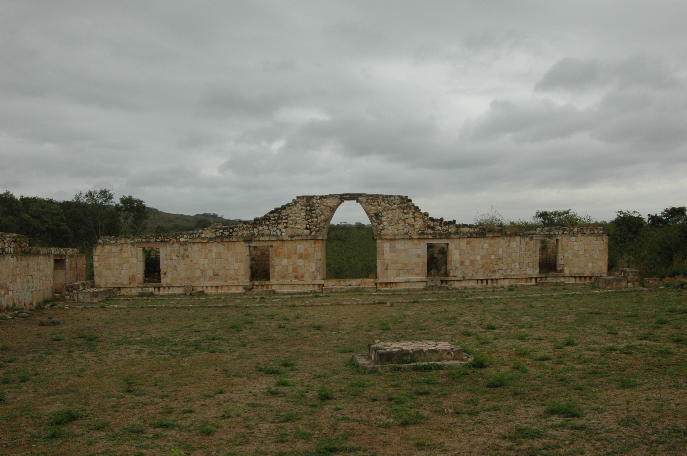
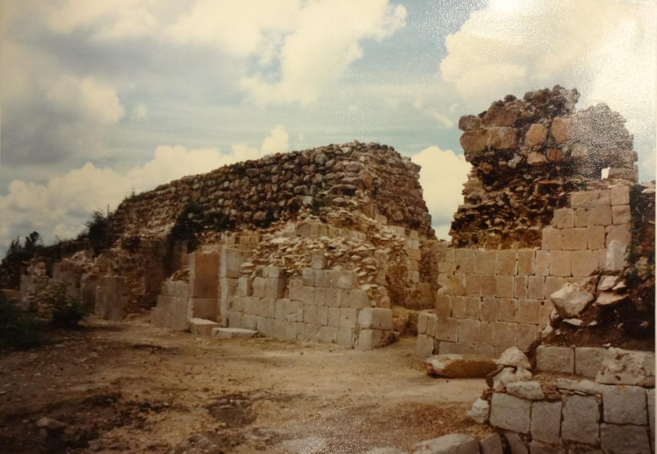
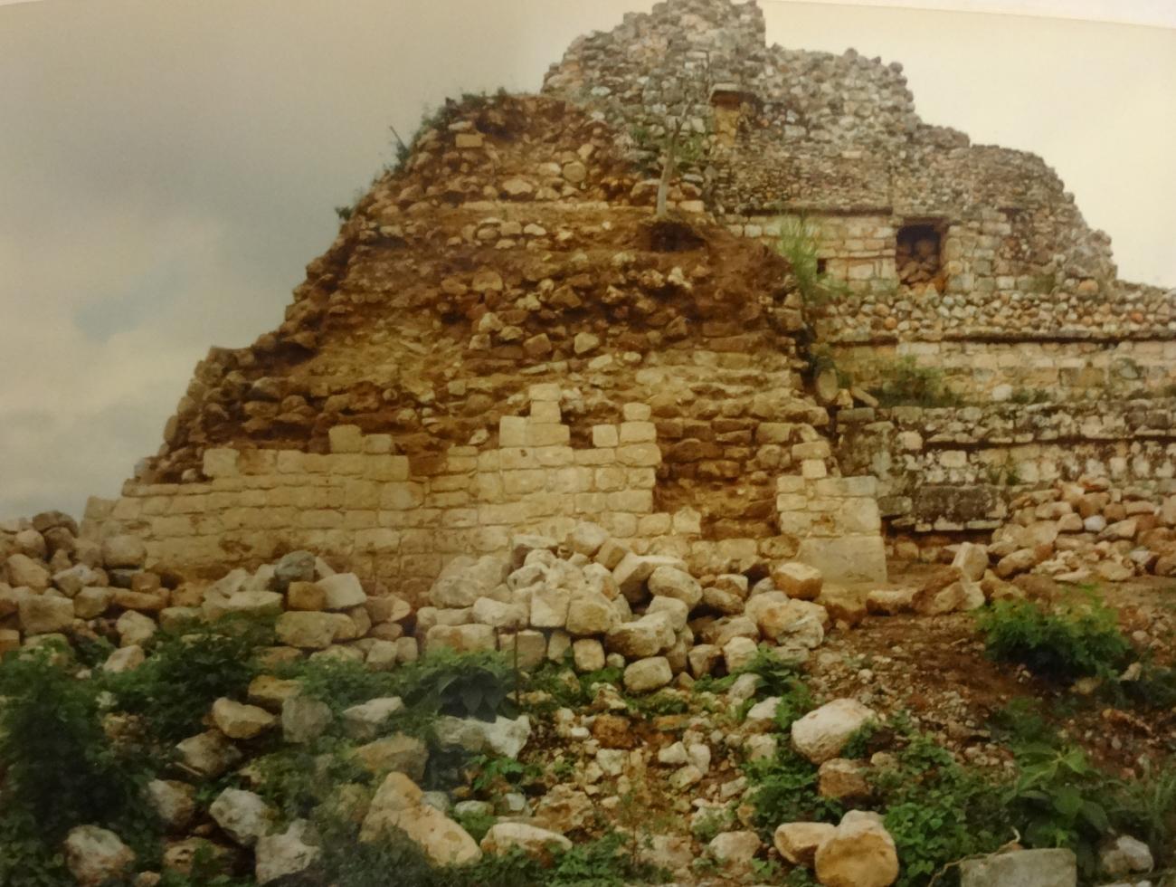
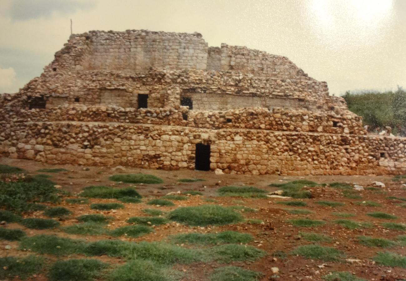
Grupo Dzib
The Dzib group is a large platform composed of polygonal plan. It occupies a space of 100 m from north to south, 140 m from east to west and an approximate height of six meters from the level of the main plaza to the top of the buildings it contains.
The Dzib group is a large platform composed of polygonal plan. It occupies a space of 100 m from north to south, 140 m from east to west and an approximate height of six meters from the level of the main plaza to the top of the buildings it contains. An average of 16 structures have been recorded at the top of the basement, distributed around four main squares.
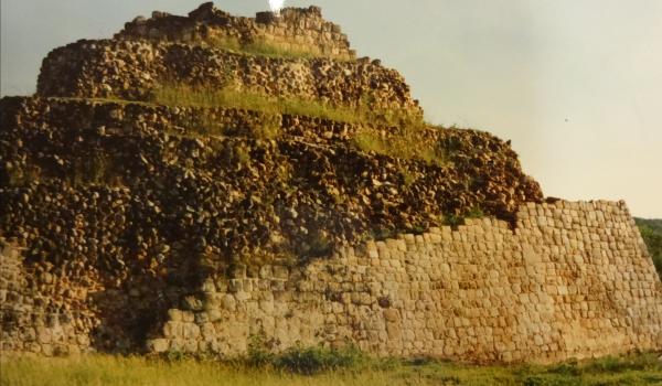
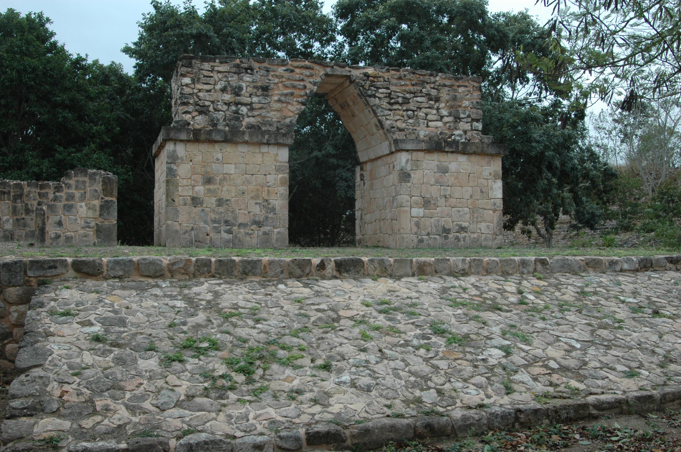
Grupo May
It is located in the southern part of the settlement or central area of the city of Oxkintok. Set of architectural structures grouped around a central pyramid, which sit on a large platform of almost rectangular shape. Most of the structures of this group orient their main face to the north.

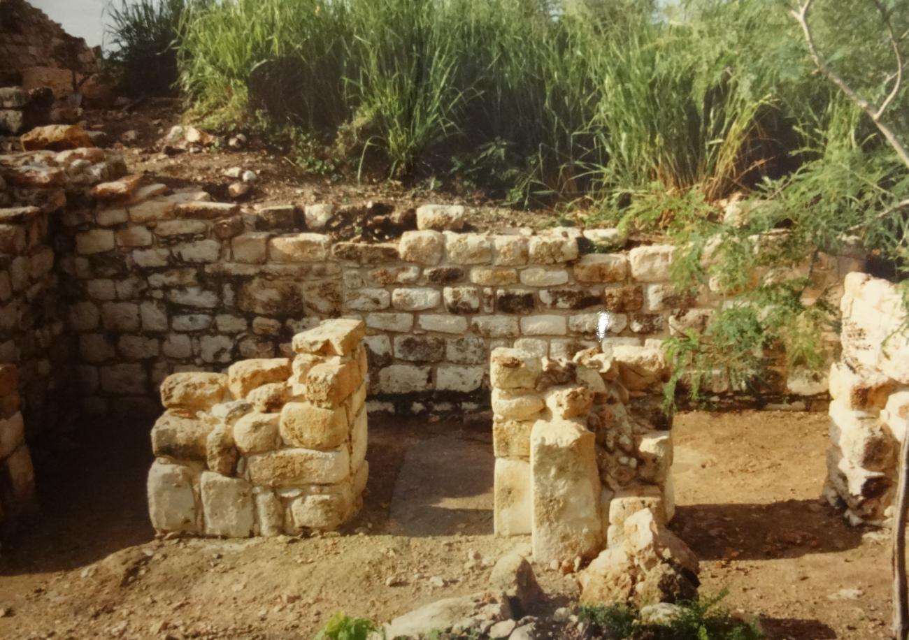
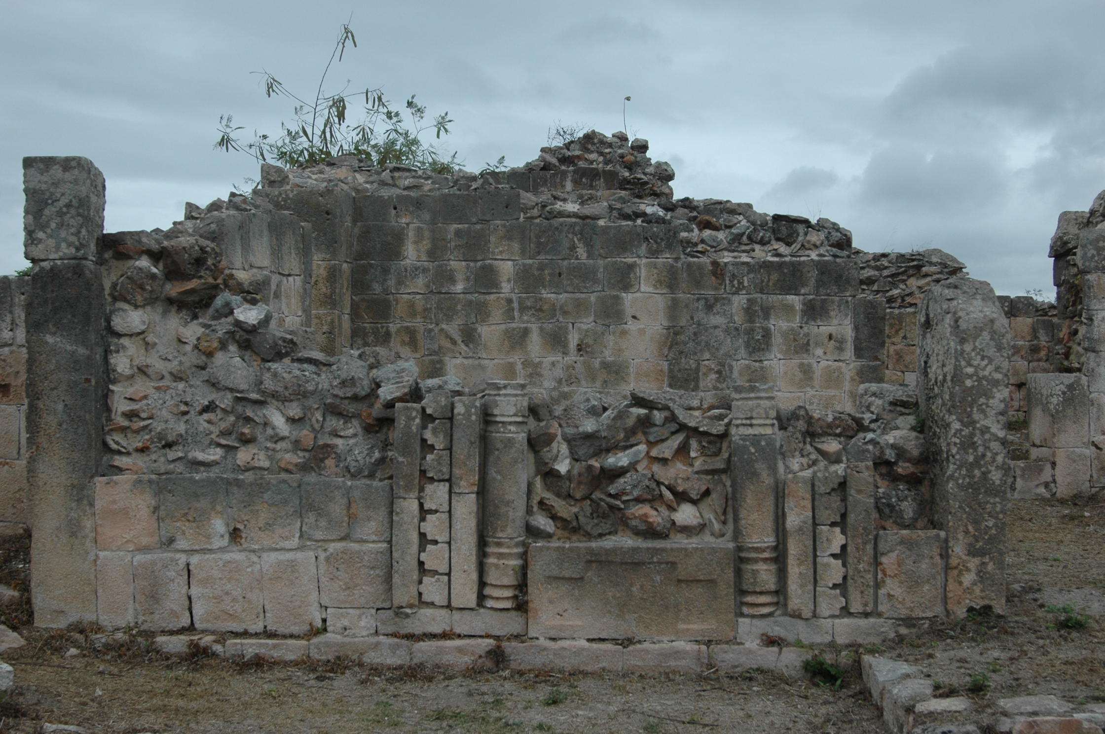
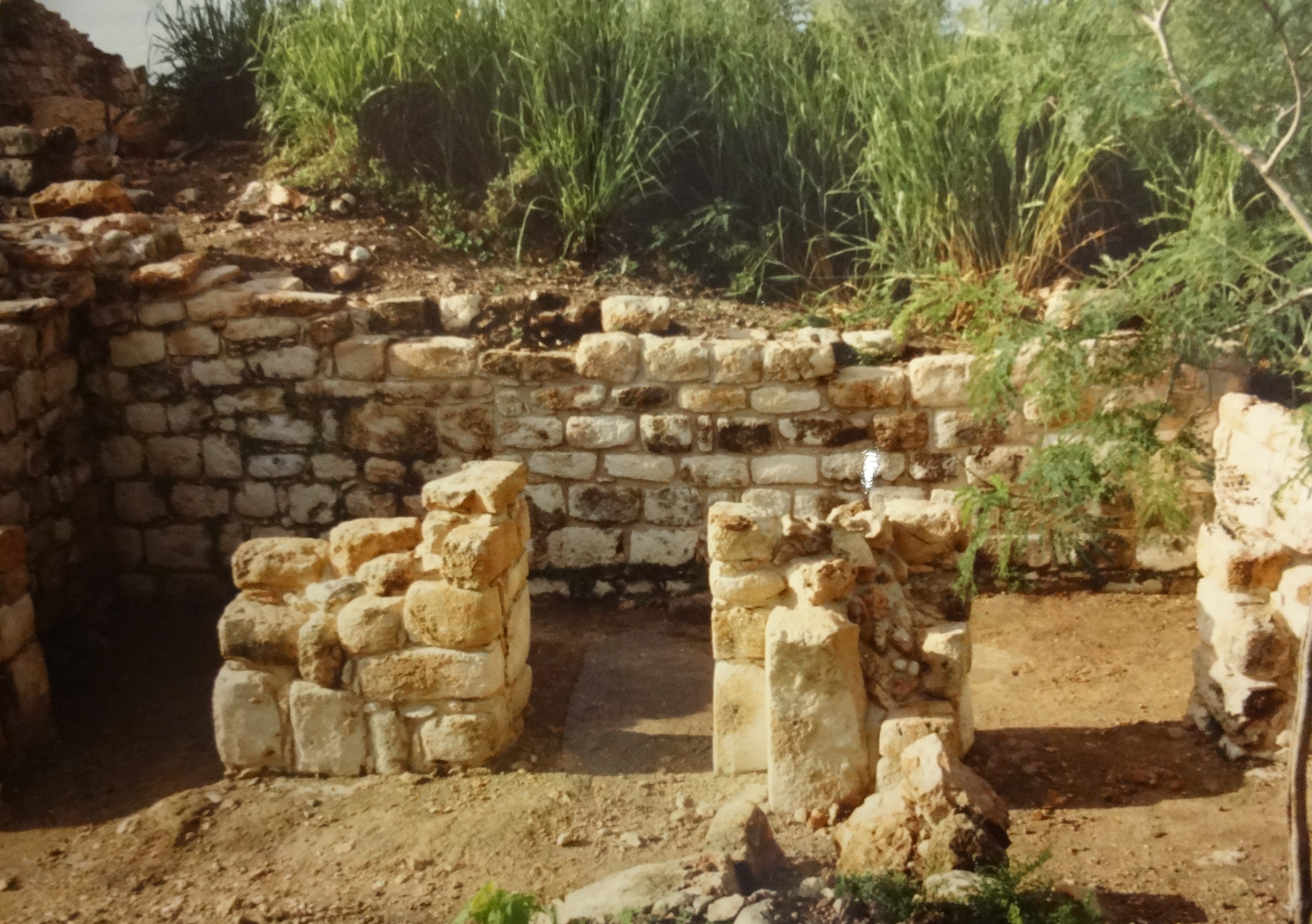
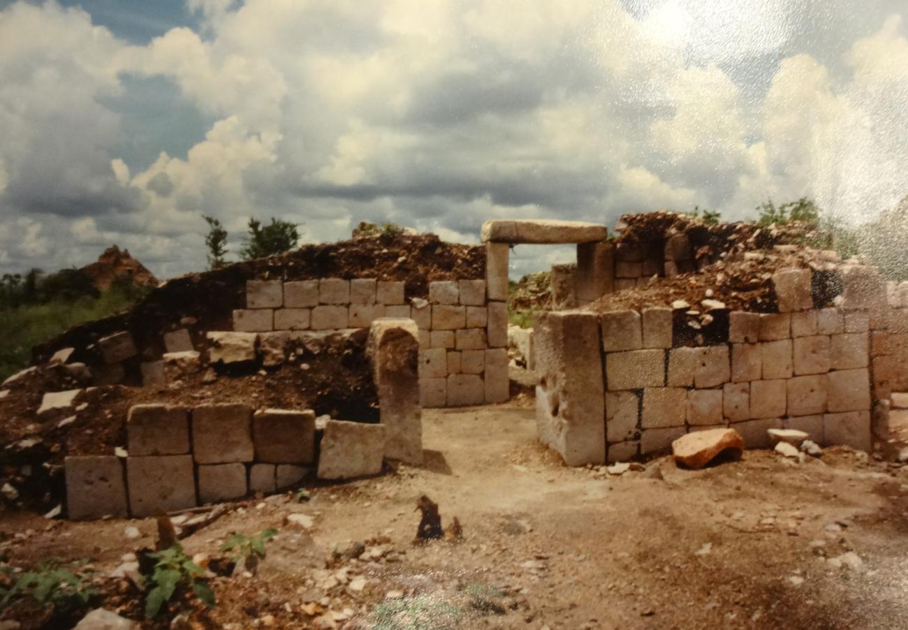
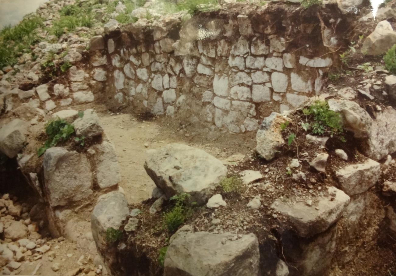
Satunsat
This building is isolated, between the May group and the Dzib, with its main façade facing west. It is a complex building, traditionally conceptualized as a labyrinth. It consists of three floors, one of which is semi-buried.
This building is isolated, between the May group and the Dzib, with its main façade facing west. It is a complex building, traditionally conceptualized as a labyrinth. It consists of three floors, one of which is semi-buried. Each floor has longitudinal bays, parallel to the façade wall, interconnected by doors and flanked, in some cases, by transversal bays.