


Cerro la Campana (Huijazoo)
An ancient Zapotec city whose Tomb 5 contained a plethora of symbols and beautiful figures, considered one of the finest examples of funerary art in ancient Mexico. It has a rich array of religious buildings from 300 and 800 AD when the city was flourishing.
The Cerro de la Campana archeological site is in the far north of the Etla valley, barely 20 miles from Oaxaca City. The site is within the bounds of the municipality of Santiago Suchilquitongo, which is next to the municipality of Huitzo. The full area of the site covers 235 acres, which includes modifications to the rocky landscape including embankments and terraces used for dwellings.
For a few hundred years this civic and administrative center was the dominant force holding together the Zapotec towns in the north of the Etla valley. The architectural remains visible today come from the period 650 to 700 AD when the settlement was the seat of government for the Zapotecs of the valley. Its notable features are its strategic position and the aesthetic quality of the figures in Tomb 5, which were found during the 1985 excavations. The city was abandoned around 800 for reasons that are still not understood.
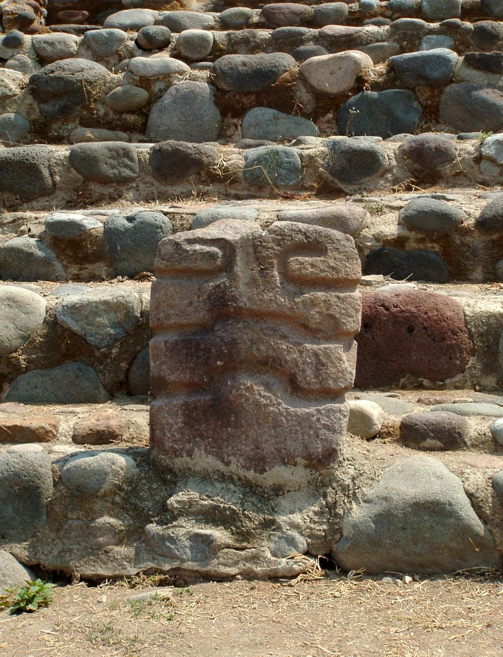
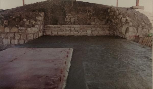
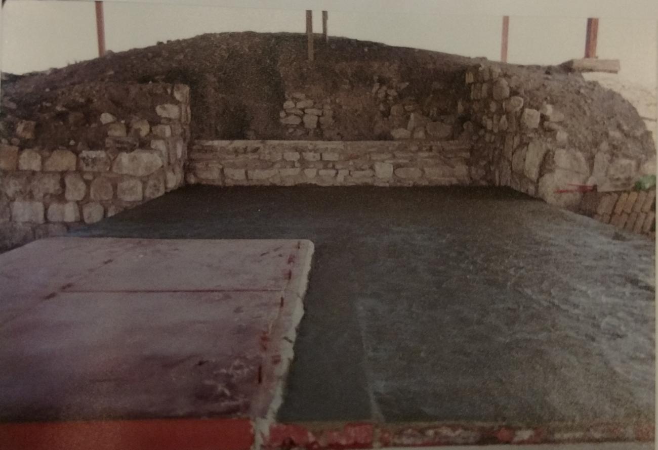
As mentioned above, the archeological excavations in 1985 resulted in the discovery of Tomb 5. This burial of nearly 60 people includes wall paintings, two stucco masks of the lineage of the jaguar, ten doorposts with pairs of people dressed with jaguar-man lineage headpieces, place name and calendar glyphs as well as glyphs of owls, bats, jaguars and architectural features made using the best building technology of the period. The ceramics associated with the burial can be dated alongside Monte Alban period III, which was around 550.
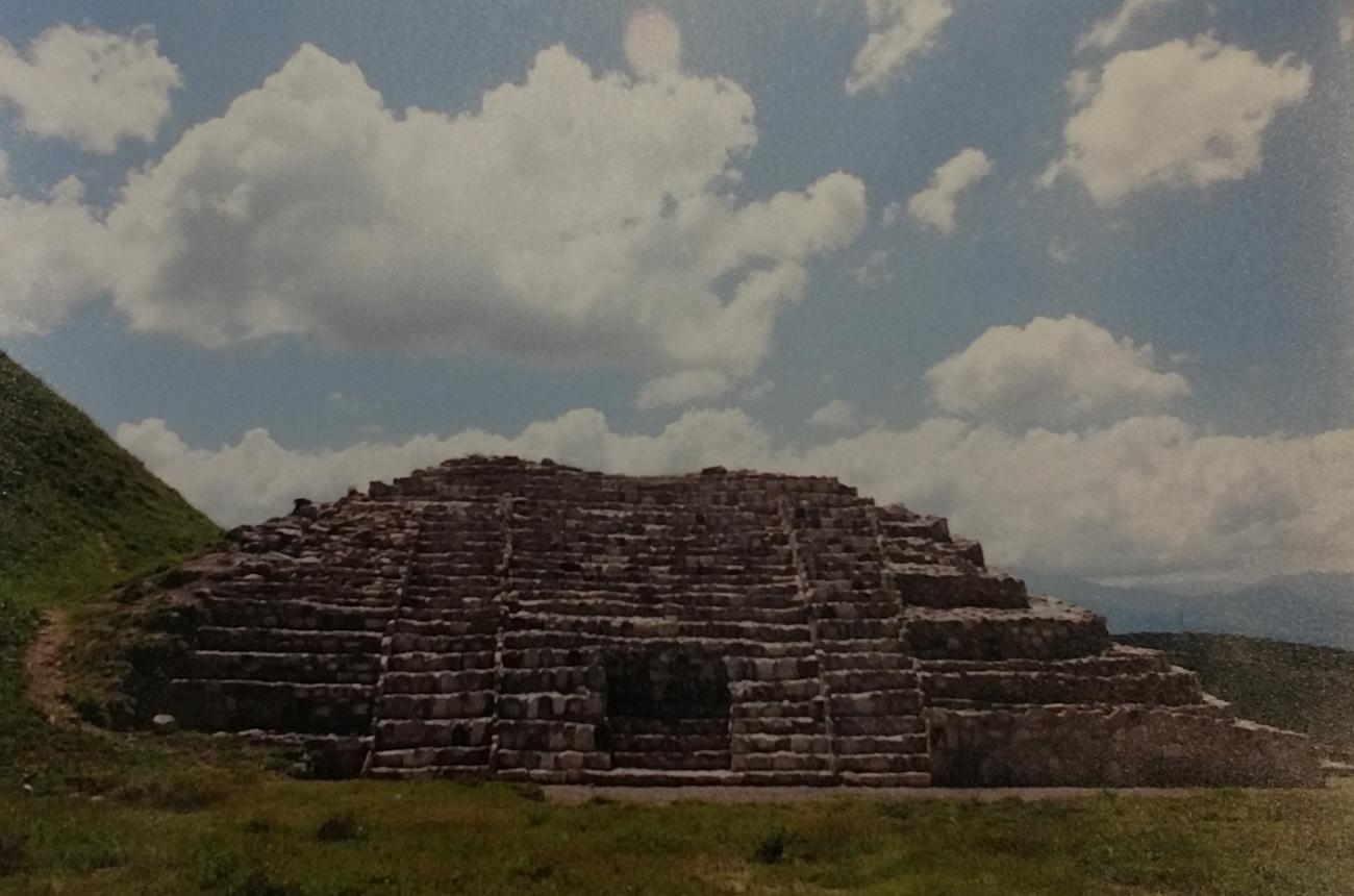
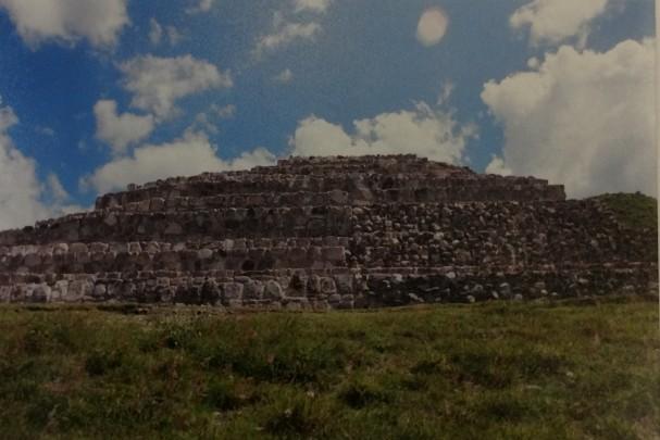
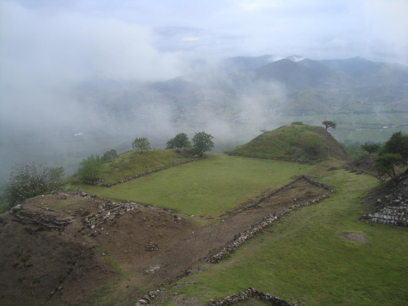
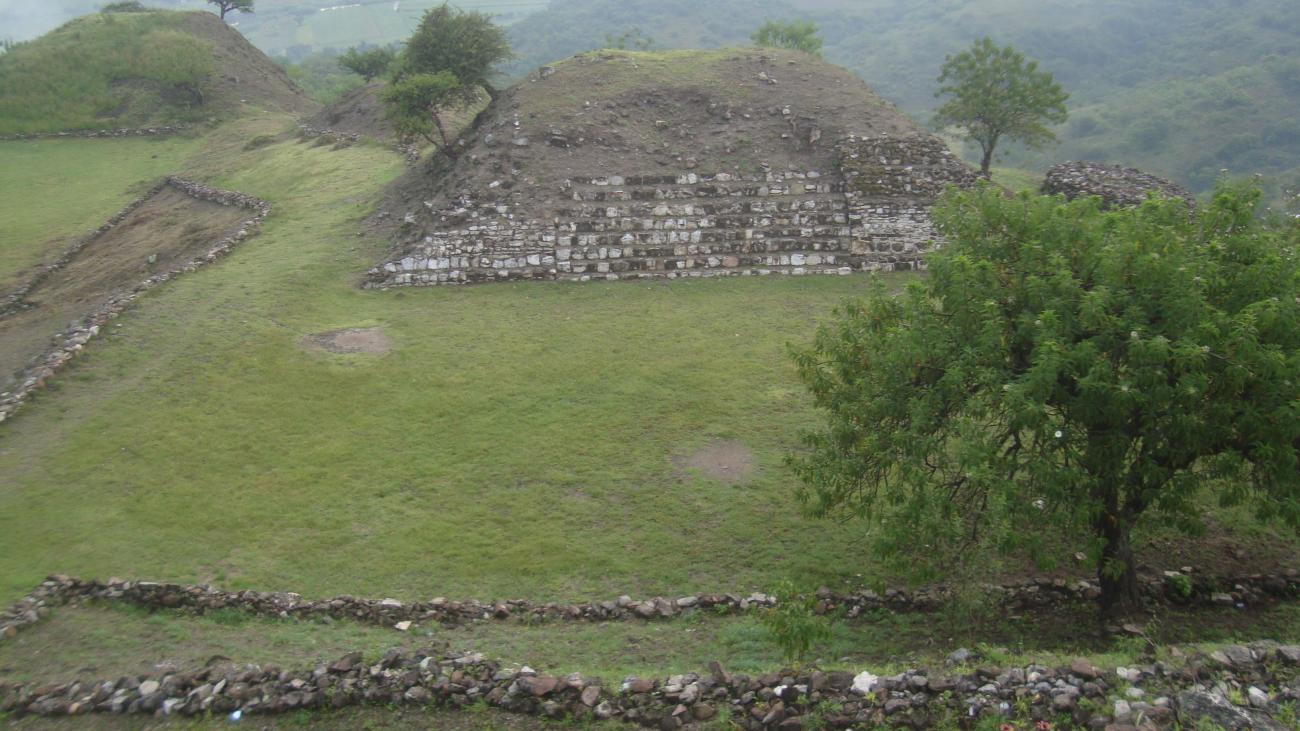
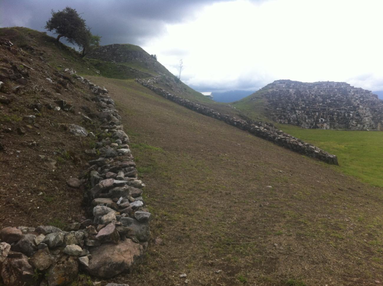
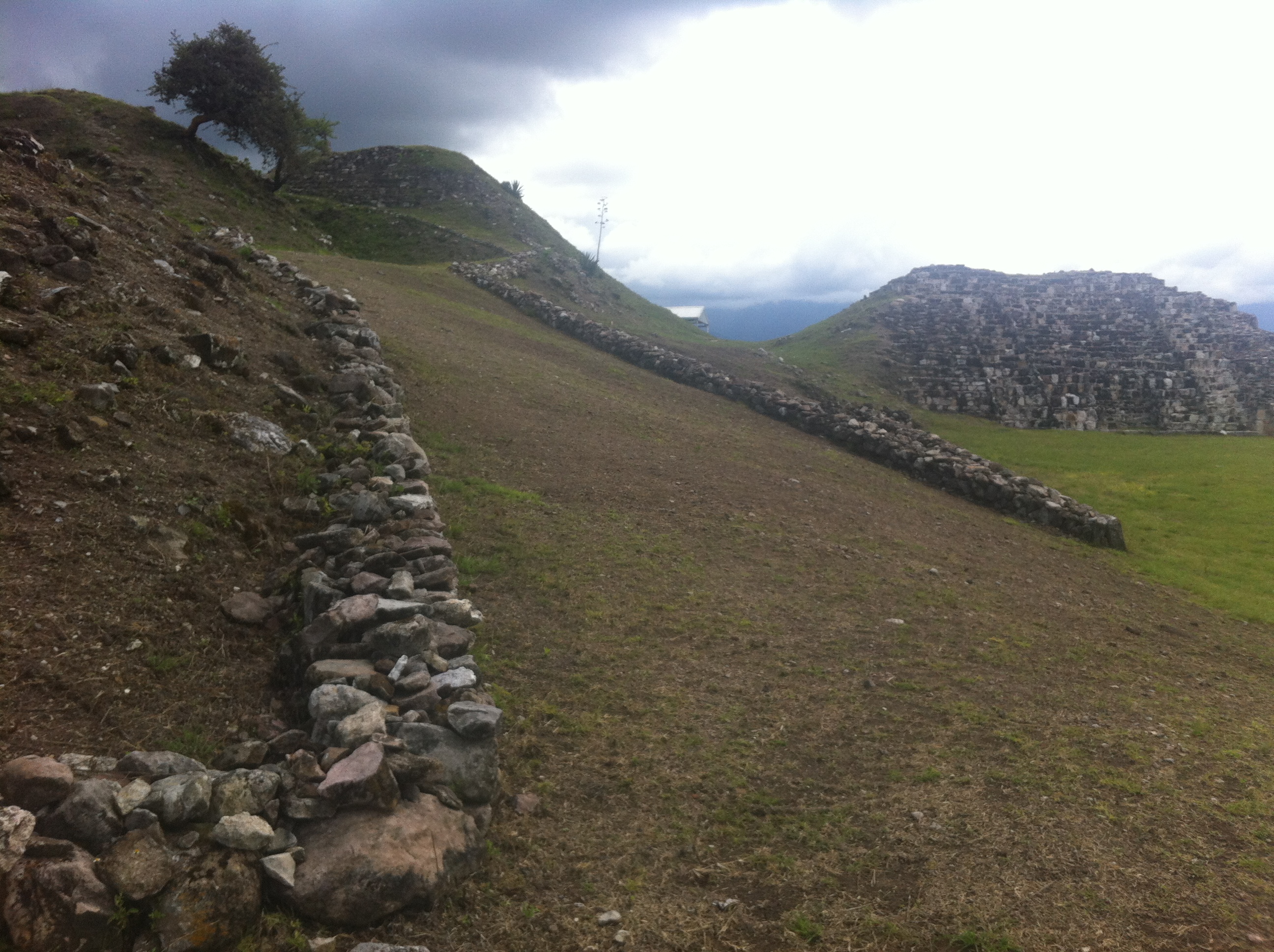
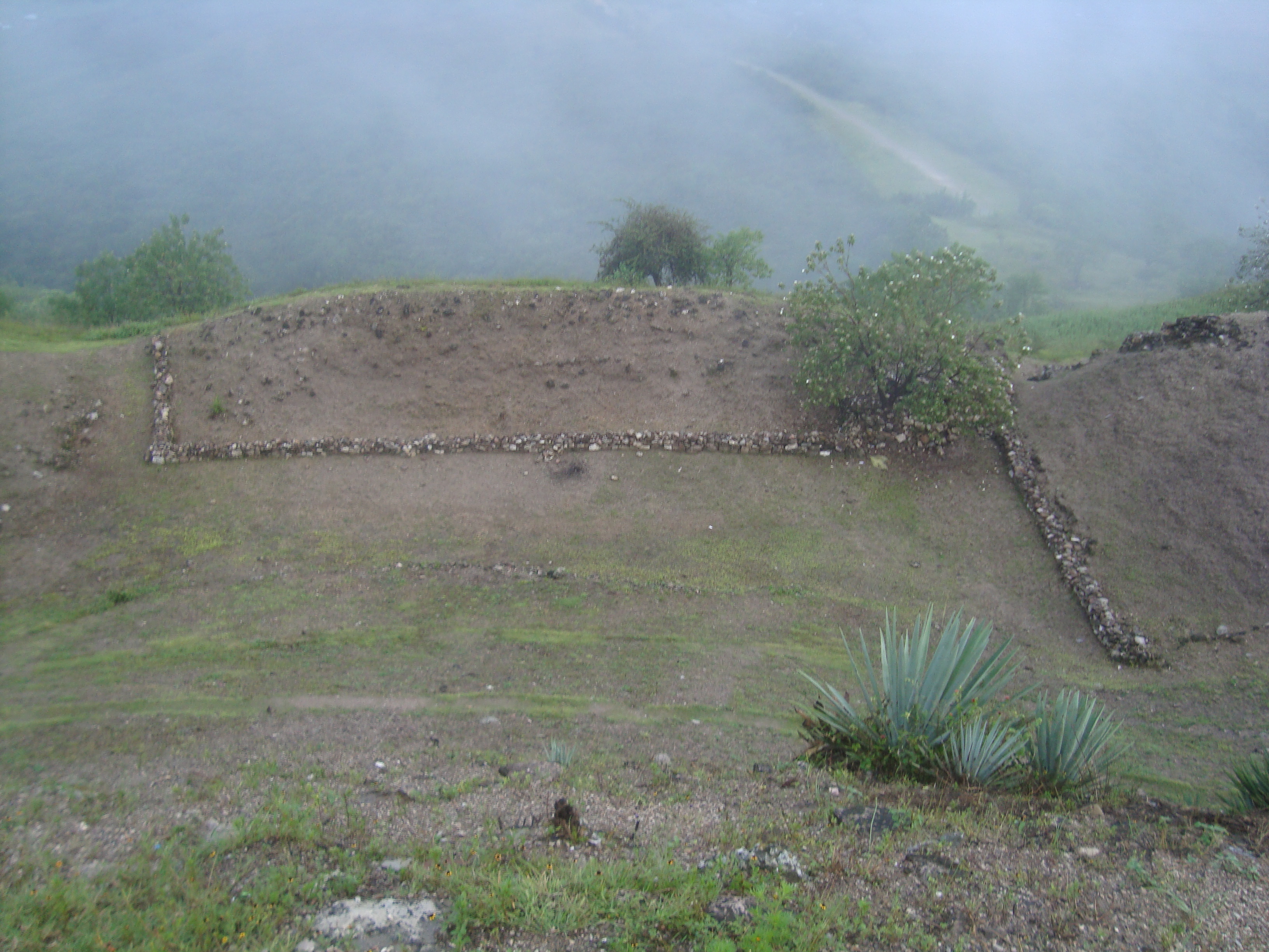
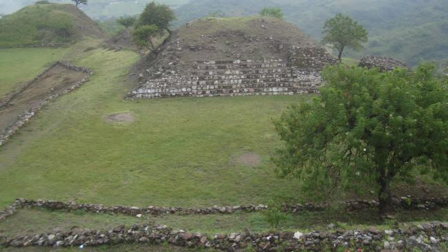
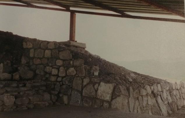
The highest part of the land is in the central sector which consists of at least three large platforms, two of which are aligned east-west with another that spreads out organically in a northward direction from the monument area. The central sector consists essentially of seven major monuments, distributed on two platforms, the first of which supports Building 1, the site of the famous Tomb 5.
- Protección y Resguardo de Bienes CulturalesManuel Rufino Aguilar Martínezmanuel_aguilar@inah.gob.mx+52 (951) 513 3346
Edificio 1
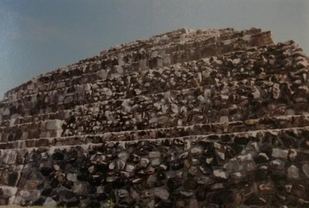
Building 1 houses the famous Tomb 5, considered, until now, as the most elaborate and majestic funerary construction of the Zapotec culture.
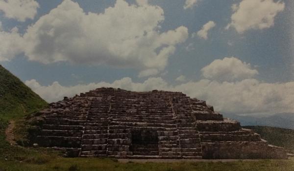
Edificio 4
Building 4 is one of the main axes of the so-called central sector. This building has a façade facing east and closes the space known as Patio Hundido and to the east closes Plaza 2.