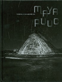
Labná
Old house
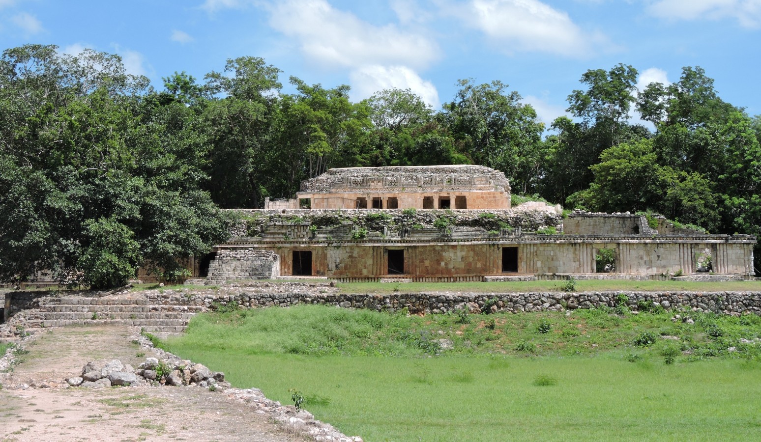
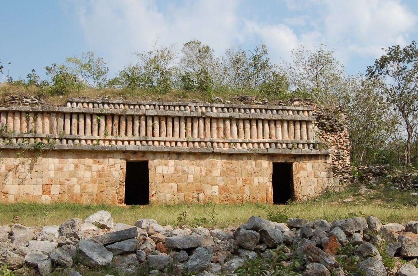
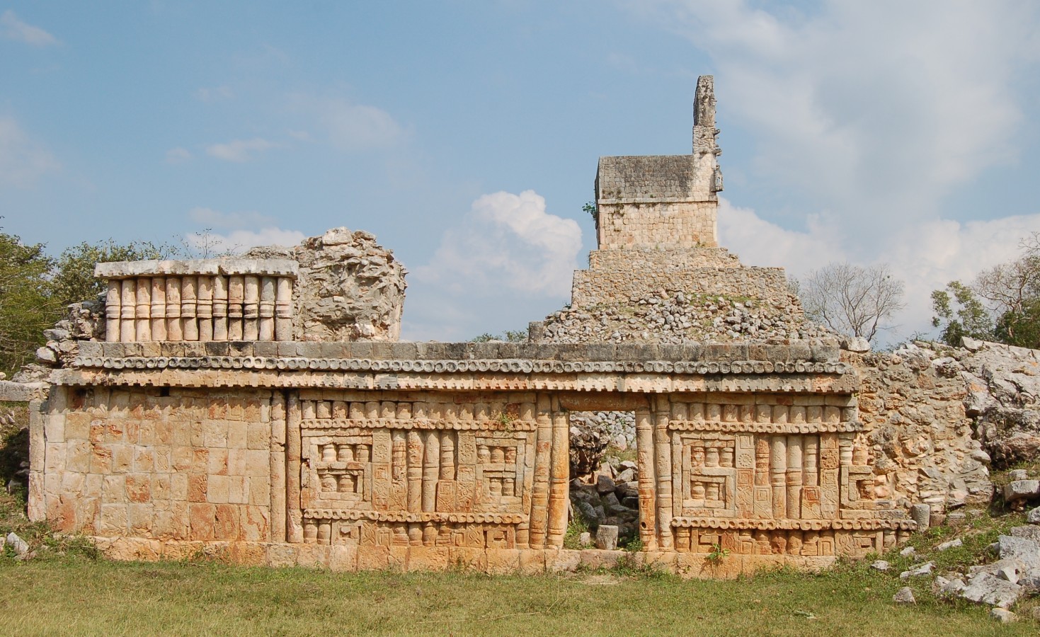
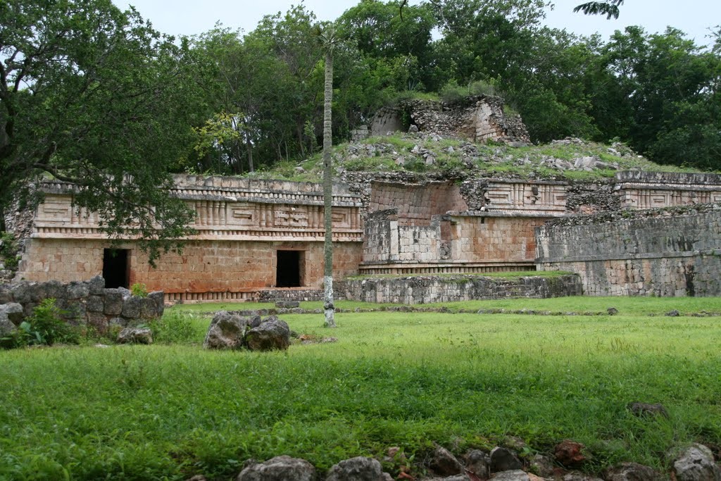
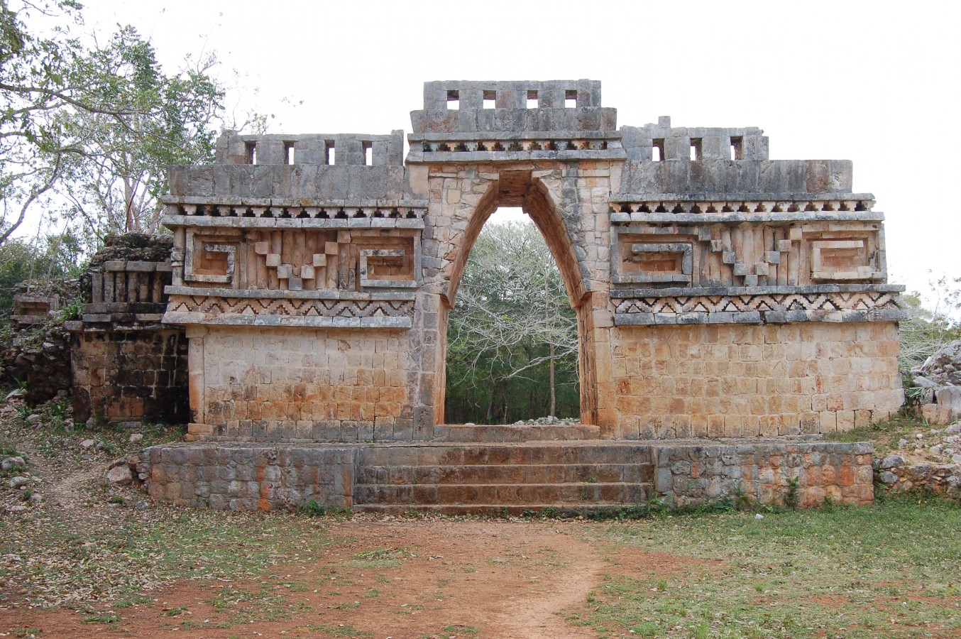
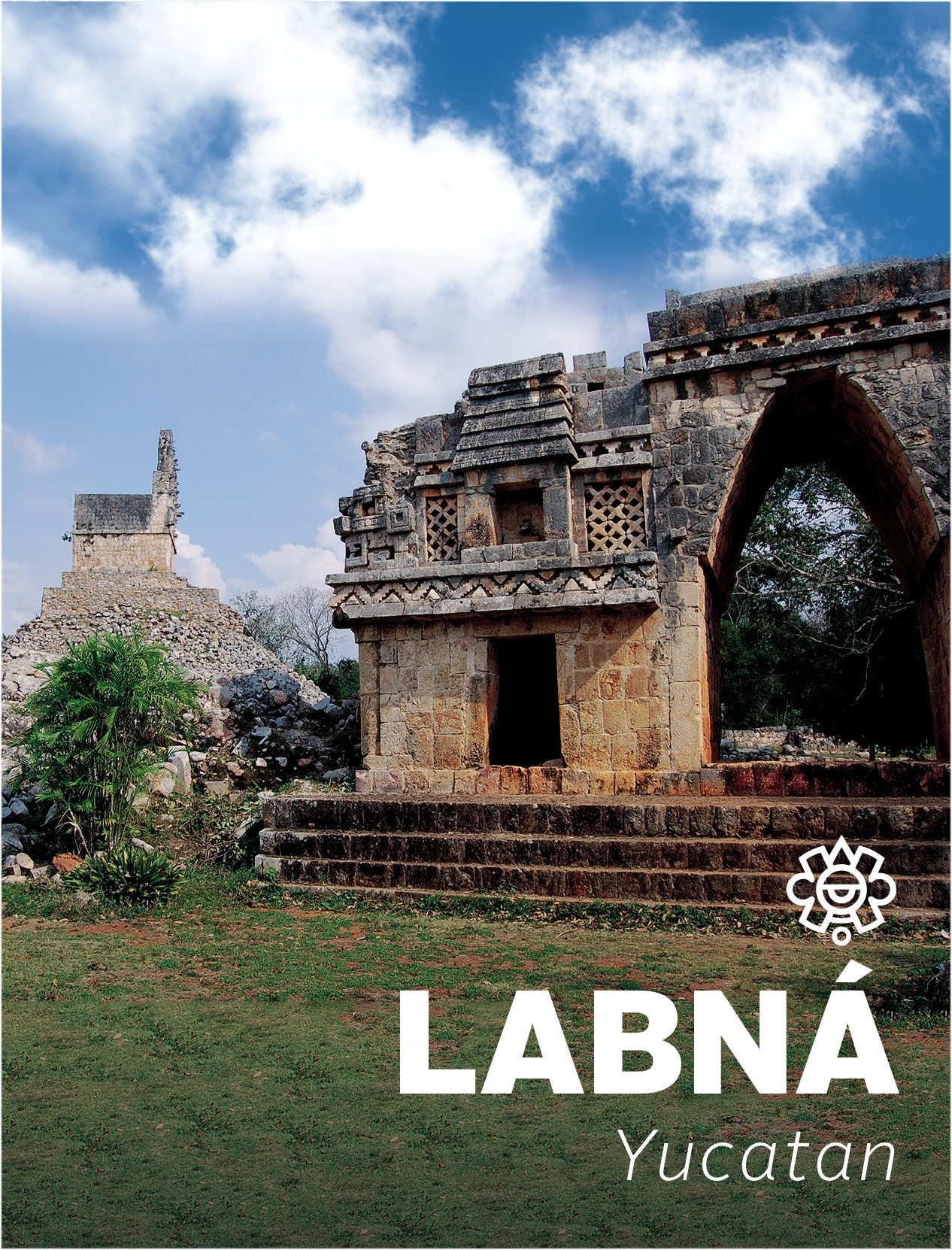
Although this is a small city, it houses three jewels: its beautiful Arch of richly carved stone; the Palace, whose facade has numerous masks of the god Chaac, and the Mirador (lookout point). It was declared a World Heritage Site together with Uxmal, Sayil and Xlapak, under the title of the Pre-Hispanic Town of Uxmal.
World heritage since 1996
About the site
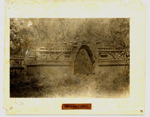
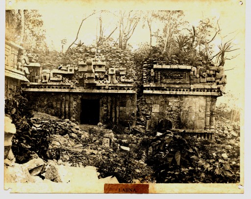
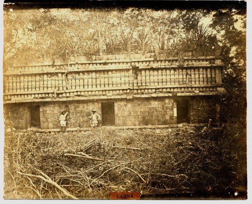
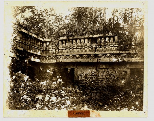
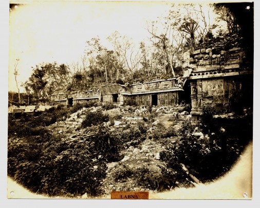
Labná was a medium-sized sister city of Oxkintok and Nohpat, probably owing its allegiance to a regional capital of the Puuc region, possibly to Uxmal, Sayil or Kabah. Nevertheless the city had extraordinarily elaborate architecture which is largely still preserved. The site was populated from 200 BC, reaching its apogee between 800 and 1000 AD. Labná undoubtedly had a complex social structure and its style and decorative elements are similar to other cities of the region. In 1842 the US explorer John Lloyd Stephens and the English architect and photographer Frederick Catherwood visited the area, the latter taking some valuable images of the monuments of the ancient city.
At Labná, the profusely decorated ten foot wide by twenty foot high arch is exceptional, as are the monuments known as El Palacio ("The Palace") (two floors, with masks of the god known as "Narigudo"), and El Mirador ("The Lookout"), which is a temple on top of a pyramid. The city extended to 1.4 square miles and was home to a population of 3,000. It is listed as a World Heritage Site, under the collective title of the “Pre-Hispanic Town of Uxmal.”
At Labná, the profusely decorated ten foot wide by twenty foot high arch is exceptional, as are the monuments known as El Palacio ("The Palace") (two floors, with masks of the god known as "Narigudo"), and El Mirador ("The Lookout"), which is a temple on top of a pyramid. The city extended to 1.4 square miles and was home to a population of 3,000. It is listed as a World Heritage Site, under the collective title of the “Pre-Hispanic Town of Uxmal.”
200 a.C.-1000
Preclásico Superior a Clásico Tardío Terminal
800 - 1000
Clásico Tardío a Posclásico Temprano
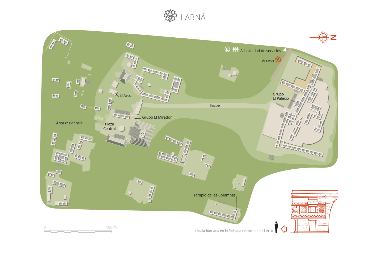
Map
Did you know...
- In The Palace there is a courtyard buried under tons of stone.
- The only way to reach the Sacred Precinct was via the sacbe (white path) and the route had to begin from The Palace.
- The Arch appeared on the national gold peso bills issued by the Constitutionalist Government of Yucatán in 1916.
- Phallic representations are common in the Puuc region and are usually related to fertility.
An expert point of view
Lourdes Toscano Hernández
Centro INAH Yucatán
Practical information
Monday to Sunday from 08:00 to 17:00 hrs. Last entry 16:00 hrs.
$75.00 pesos
Se localiza en la Ruta Puuc, al sureste de la ciudad de Mérida.
From the city of Mérida, take Federal Highway 261 Mérida-Campeche, pass the towns of Muna and Santa Elena and follow the turn off to Emiliano Zapata, better known as the Puuc Route.
-
+52 (999) 944 4068
-
This email address is being protected from spambots. You need JavaScript enabled to view it.
Directory
Director de la Ruta Pucc
José Guadalupe Huchím Herrera
This email address is being protected from spambots. You need JavaScript enabled to view it.
+52 (997) 976 2064

