Cañada de la Virgen
The seat of a religious and calendar-based domain for agricultural systems and trade routes. Its principal constructions were designed as observatories, such as the House of the Thirteen Skies and the House of the Longest Night, which relates to the winter solstice.
About the site
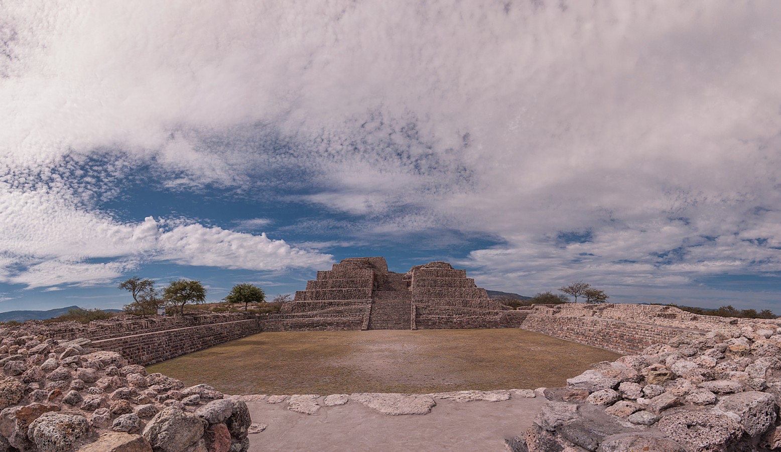
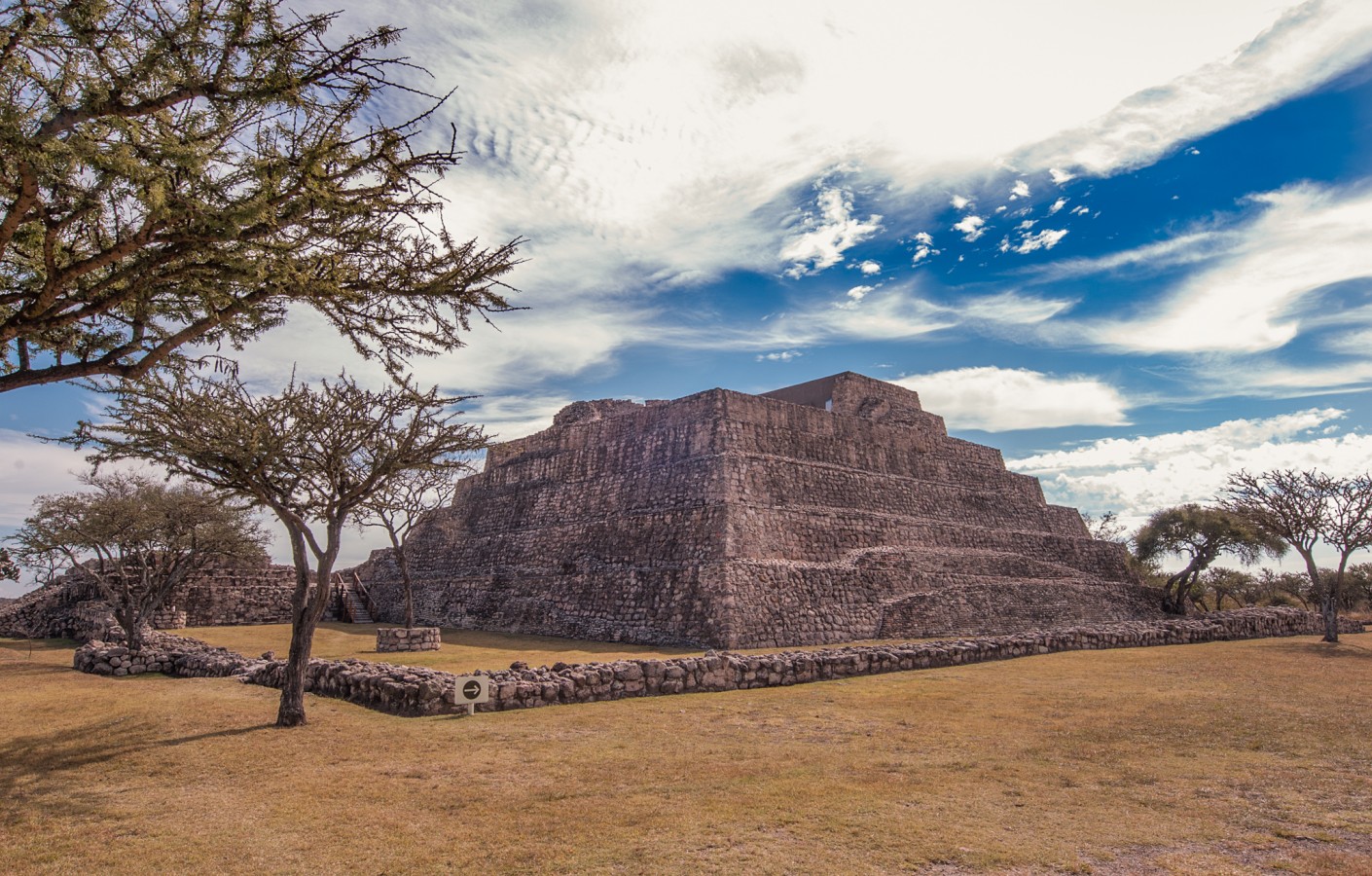
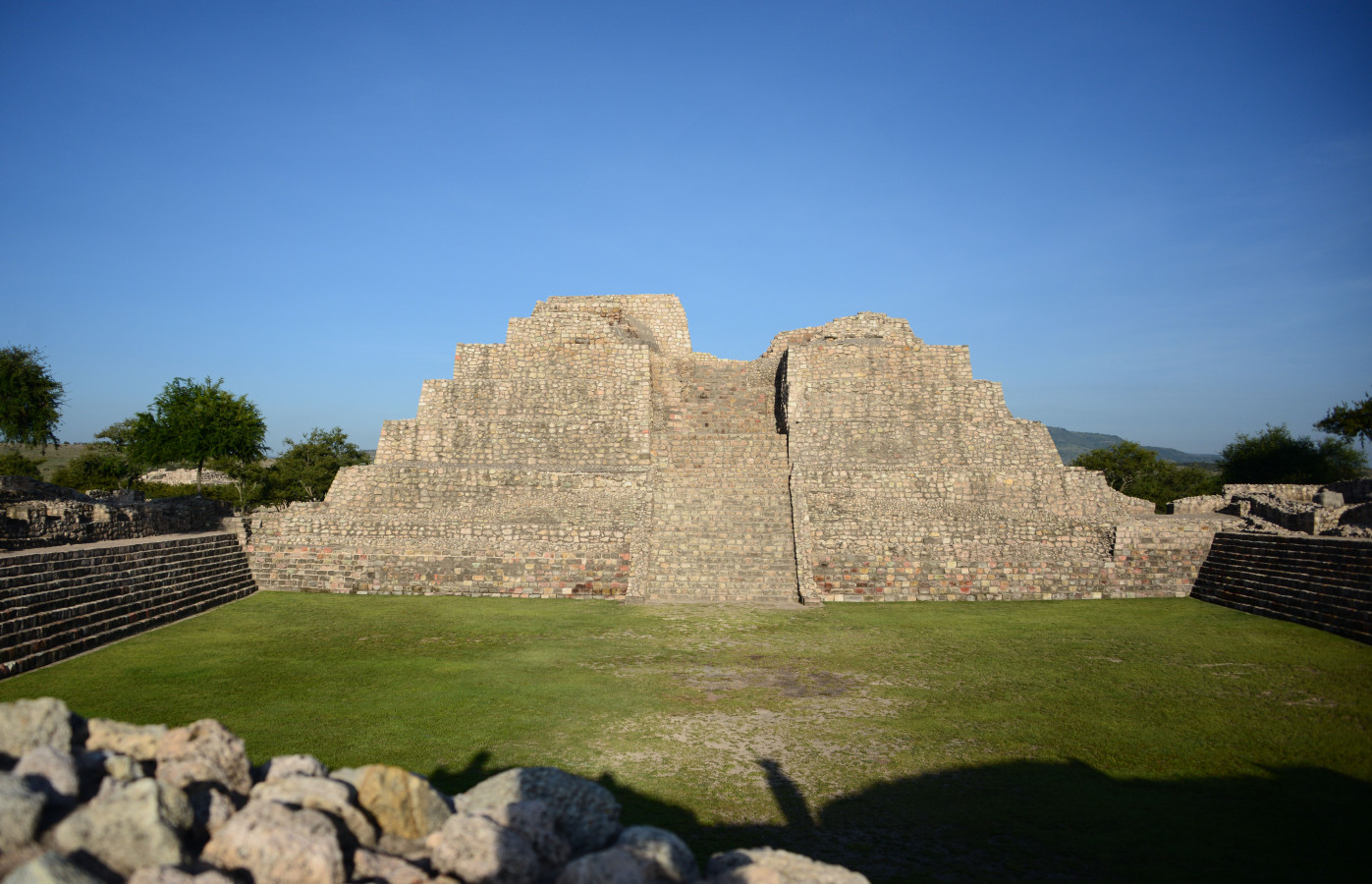
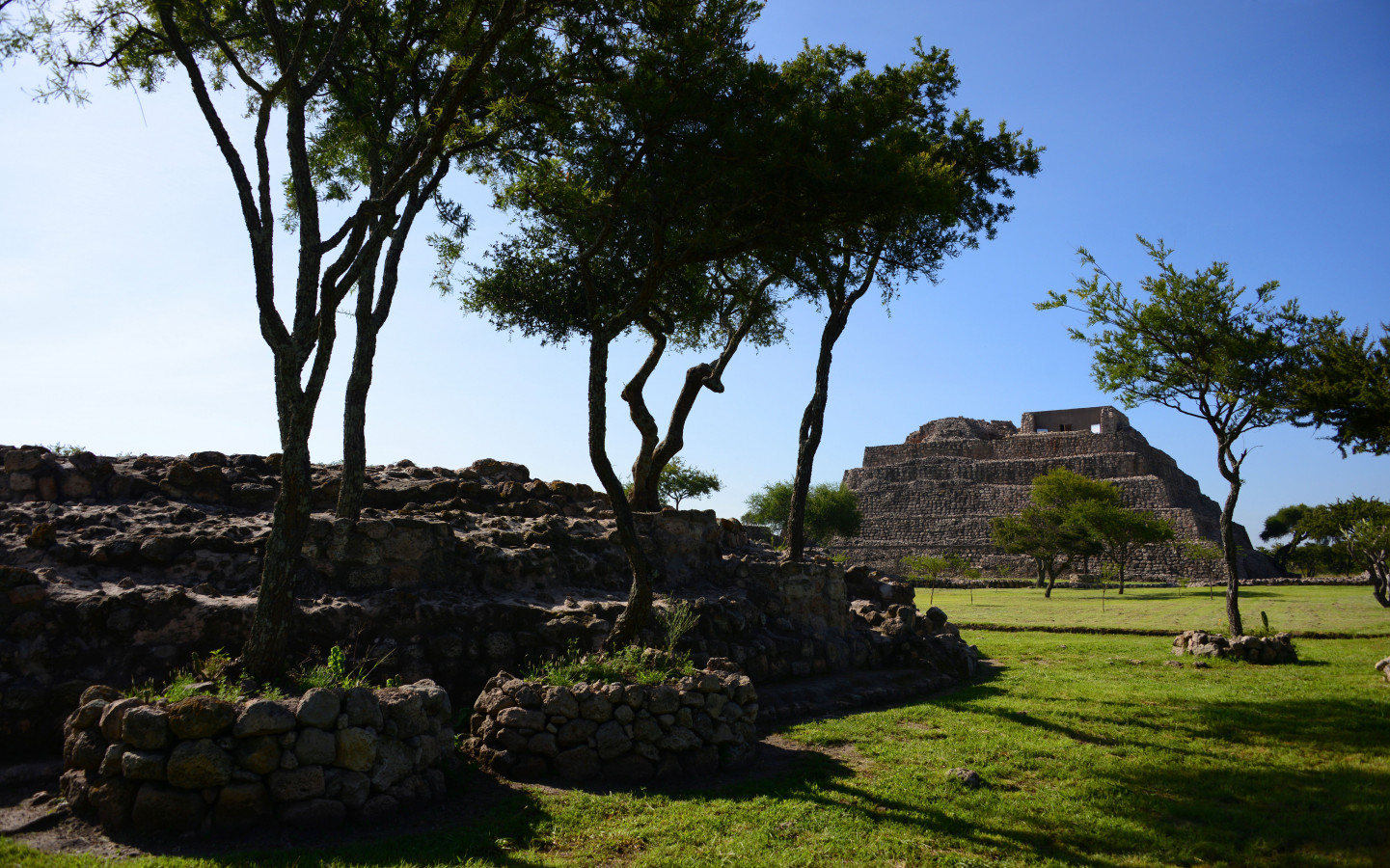
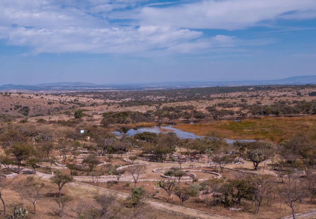
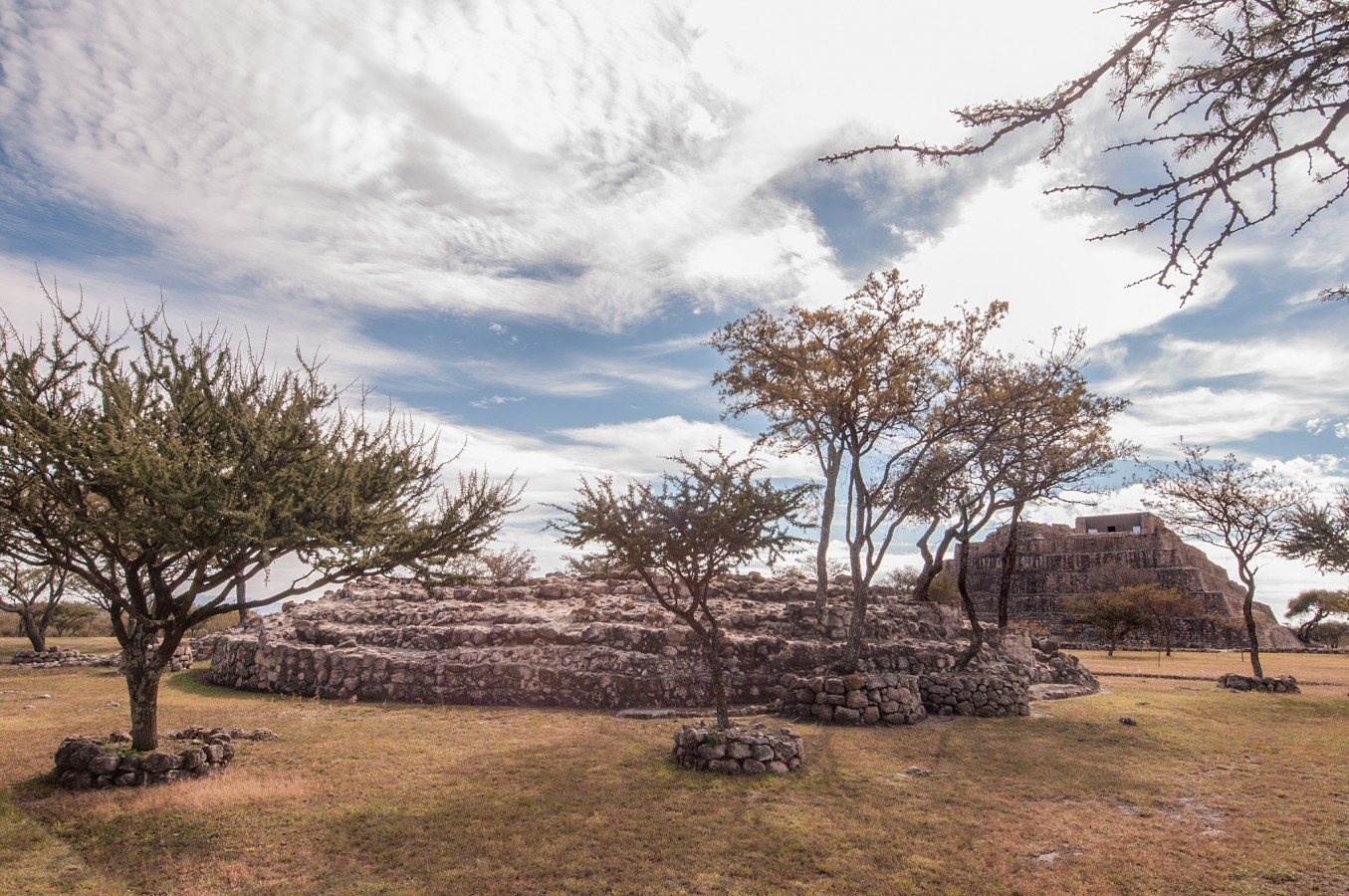
This ceremonial settlement has a Hñahñu (Otomí) origin and was occupied between the years 540 and 1050 AD (Epiclassic period).The ancient inhabitants built it based on observation of the Sun’s route, in such a way that its temples are symmetrically aligned with the stars, a characteristic which makes this city unique among Mesoamerican ceremonial centers.
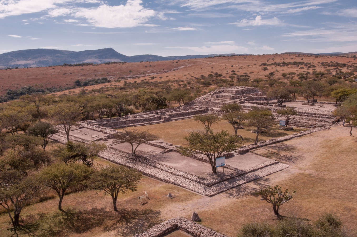
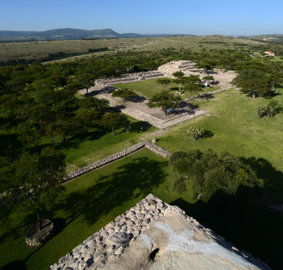
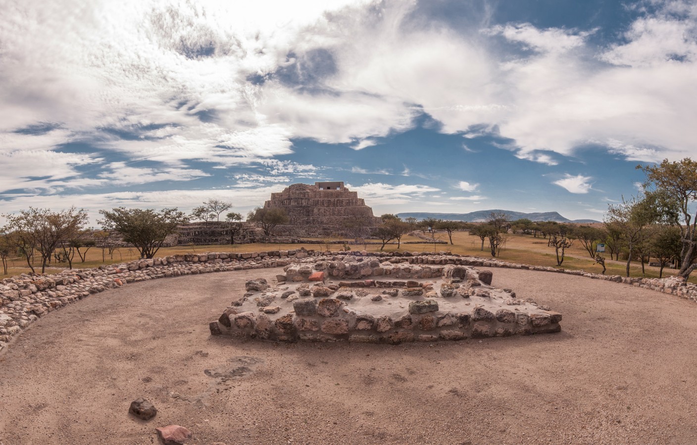
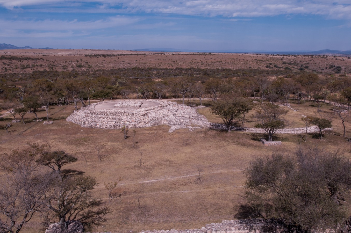
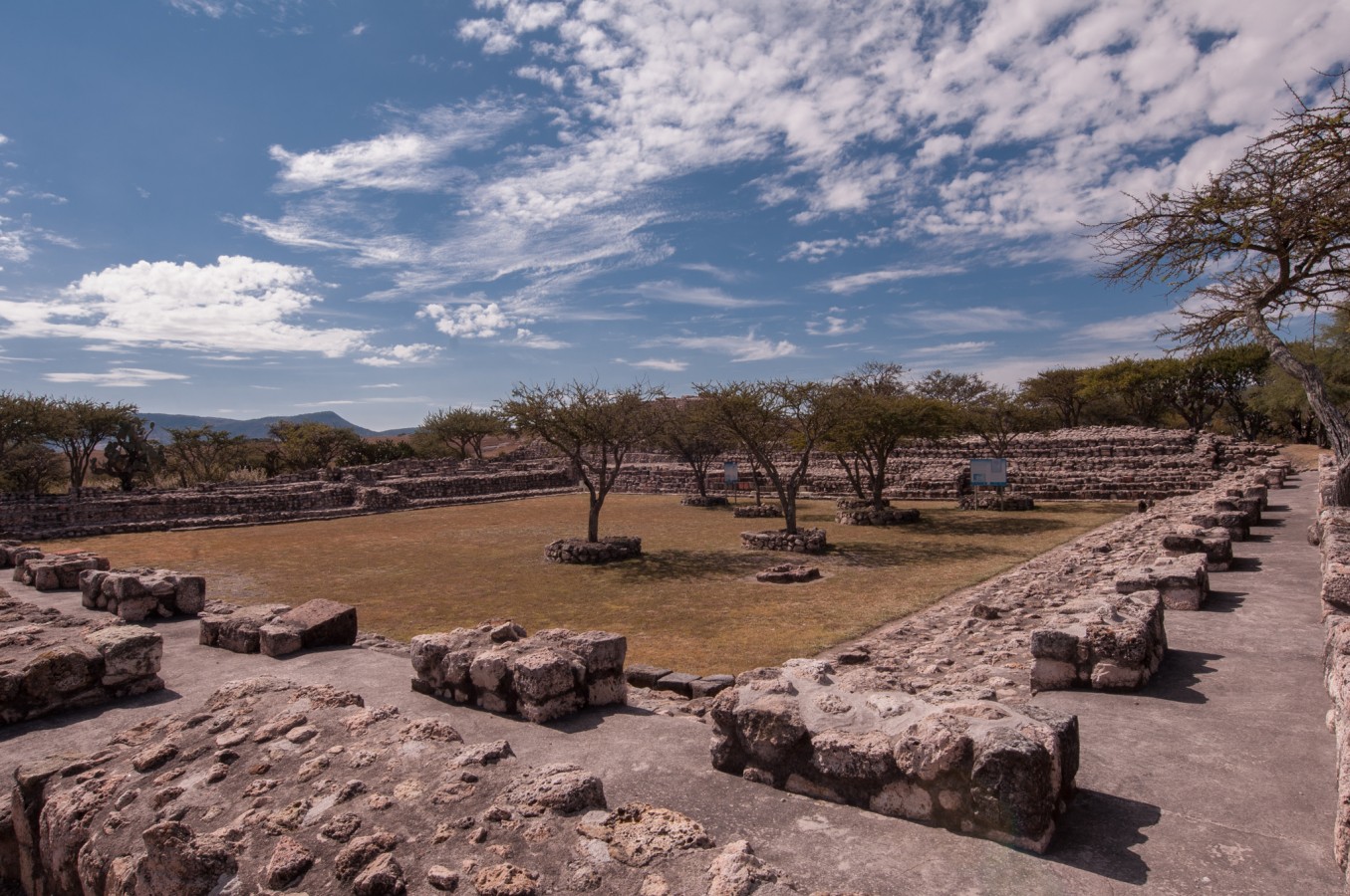
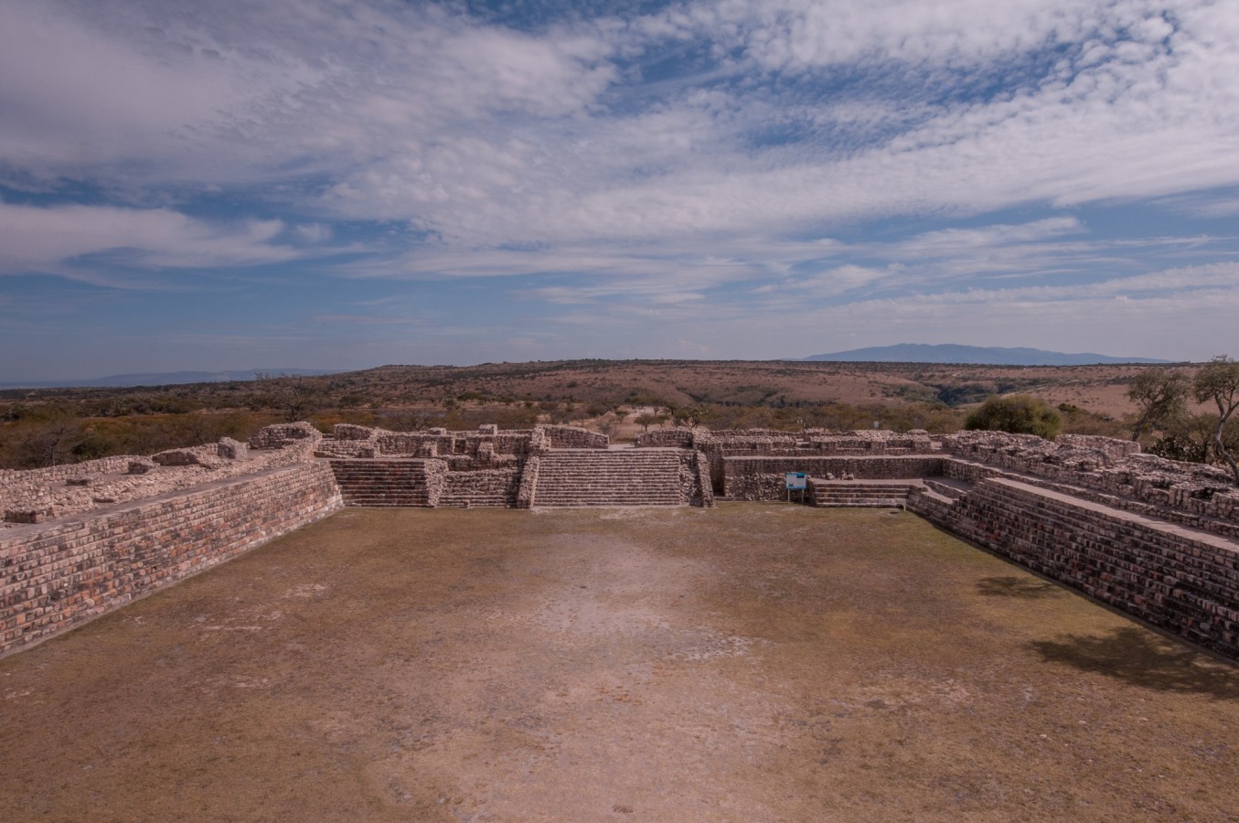
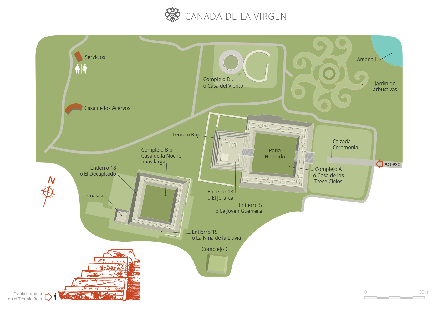
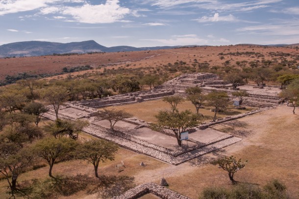
Cañada de la Virgen is located in the basin of the Laja River, which is surrounded by mountains. The site is comprised of five monumental complexes distributed over an area of 40 acres. There is an axis of symmetry in the buildings oriented towards the sunrises of April 17 and August 25, as well as the sunsets of March 4 and October 9.
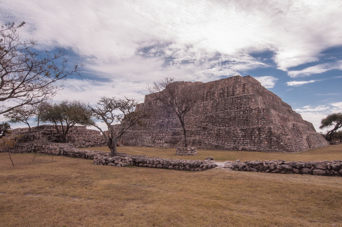
The axis of symmetry of complex A has an azimuthal orientation (the angle formed with the meridian by the vertical circle which passes through a point of the celestial sphere or the earth) of 80 astronomical degrees. Meanwhile, at the winter solstice, the Sun can be seen to hide behind the pyramidal base of complex B.
Additionally, the lunar cycle is considered to have played an important role in the design of the pyramidal base of complex A. Here, the Red Temple is found, where burial 13 was located, also known as El Jerarca ("The Leader"), as it presumably belonged to the original ancestor of the governing lineage at Cañada de la Virgen. Controversial carbon analysis estimated that this figure was buried between the years 640 and 720 AD.
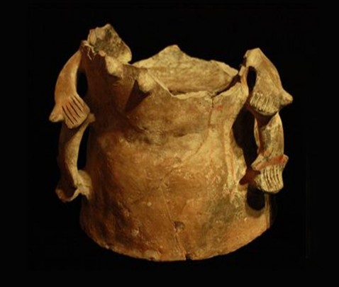
So far, 19 burials have been found, accompanied by their corresponding offerings of ceramic pots in the regional style of raised white and red on yellowish white. The ceramic collection is comprised of 248 pieces of which more than 70% have been restored. Within the area another three collections are also under protection, having been reintegrated into the site's heritage: the Mary Gastón, the Arnulfo López and the historic Miguel Malo collection, which comprises approximately 1,400 pieces.
Map
Did you know...
- Unlike other pre-Hispanic cities like Teotihuacan, Palenque or Xochicalco, where the Sun rises behind the pyramid, in Cañada de la Virgen, it appears opposite it.
- The location of the Casa de la Noche más Larga ("House of the Longest Night") is related to the winter solstice, when the longest night occurs as a result of the annual movement of the Sun towards the south.
An expert point of view

Omar Cruces Cervantes
Centro INAH Guanajuato
Practical information
Temporarily closed
Tuesday to Sunday from 10:00 to 16:00 hrs.
Se localiza al suroeste de San Miguel de Allende, Guanajuato.
From the city of Guanajuato, take highway 110 towards Dolores Hidalgo via Xoconoxtle, until you reach Don Sebastián. From here, follow highway 51 to San Miguel de Allende; the site is 10 km ahead, to side of the road. Entrance is with 20-seat minibuses run by the State Institute of Culture.
-
+52 (473) 733 0857
-
This email address is being protected from spambots. You need JavaScript enabled to view it.
Directory
Coordinador de la Zona Arqueológica
Omar Cruces Cervantes
This email address is being protected from spambots. You need JavaScript enabled to view it.
+52 (412) 157 0976

