Skip to main content
Menu
Places
Toggle submenu
Museums
Y salas de interpretación
ARCHAEOLOGICAL SITES
ARCHAEOLOGICAL WINDOWS
HISTORICAL MONUMENT AREAS
WORLD HERITAGE
Cultural y natural
Cultural regions
del México antiguo
ROUTES
Caminos Históricos y rutas culturales
Cave painting
Idioma
Español
Inglés
Descargar
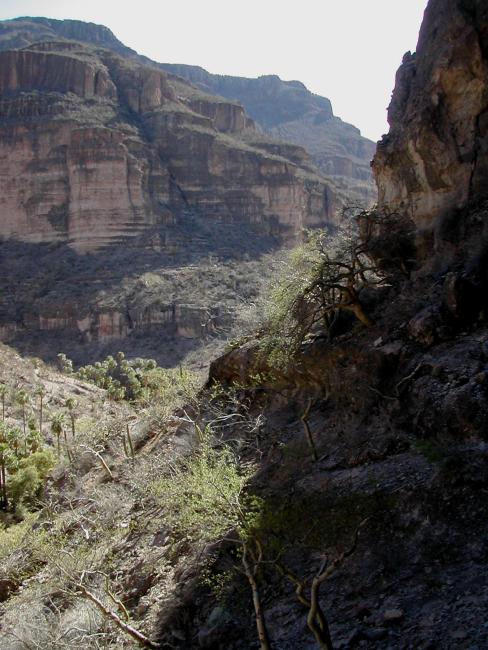
Vista durante el descenso
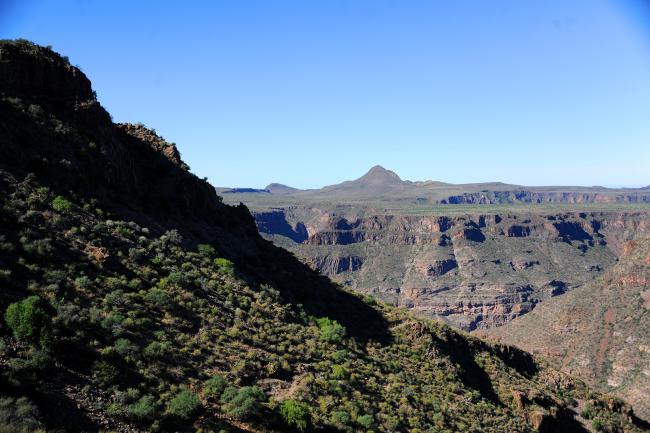
Vista desde El Cacarizo
Vegetación típica
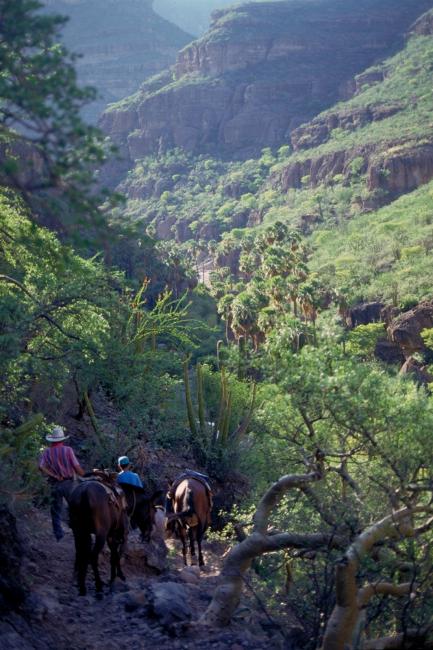
Camino final al oasis
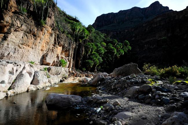
Oasis