Skip to main content
Fut + Cultura
Fut + Cultura
Menu
Idioma
Español
English
Menu principal
Museums
Archaeological sites
Archaeological sites sub-navigation
Archaeological windows
Historical Monument Areas
World cultural heritage
World cultural heritage sub-navigation
Intangible World Heritage
Routes or Paths
Rock art manifestations
Cultural regions
Descargar Imagen
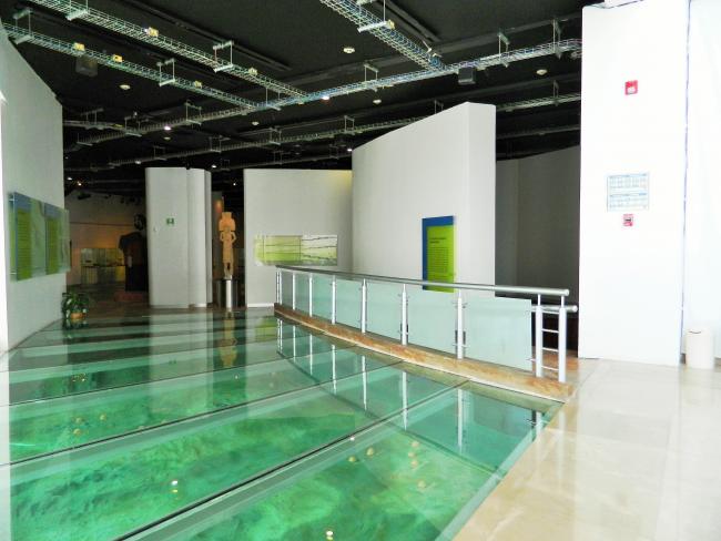
Sala Introductoria
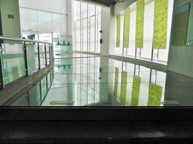
Sala Introductoria
Sala Introductoria
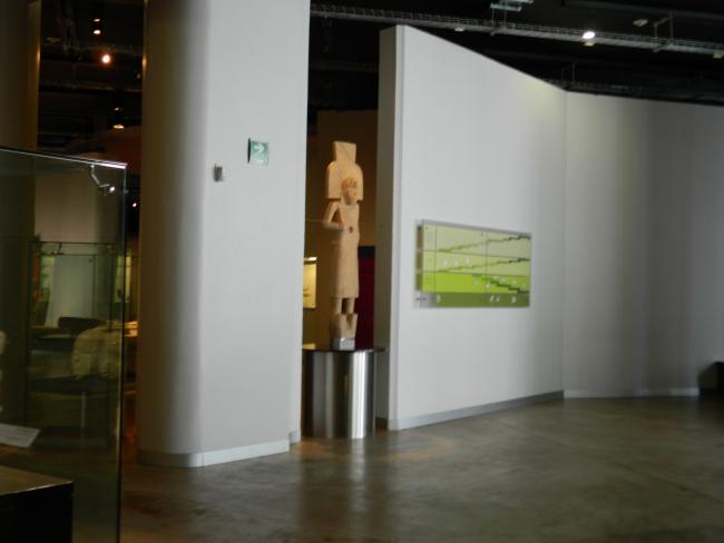
Escultura dual y cuadro cronológico