


Pomoná
Rich stelae, sculptures, tablets, and hieroglyphic inscriptions allow us to learn about its governors and the relations it had with other cities in the region. An independent political entity (600-800 AD), it played a vital role in the trade along the Usumacinta River.
The archeological site of Pomoná—or Pakbul to give the name found in the hieroglyphs—is located in an area where mountain and plains ecosystems meet. This makes it a key site for studying the ability of the Maya to adapt and thrive, which enabled them to achieve a significant level of socio-political development in their territory in the Classic period. Pomoná is notable for its contribution to Mayan history, as can be seen from the variety of important monuments with inscriptions telling of its political relations with the great Mayan fiefdoms of the period, such as Palenque.
The status of this pre-Hispanic settlement was consolidated between 600 and 800, when it became an independent political entity, and whose location enabled it to play a dominant role in cultural exchanges between contemporary sites on the upper and lower Usumacinta. This brought with it the subservience of sites such as Panjale, Boca del Cerro and Chinikiha, and territorial wars with the kingdoms of Palenque, Piedras Negras and La Mar.
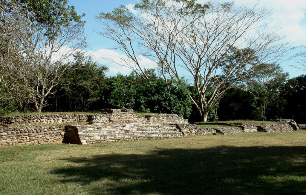
The site occupies a 470-acre strip of land identifiable by the hillocks close to the left bank of the Usumacinta River, which is where the plains of Tabasco end and the foothills of the north Chiapas uplands begin.
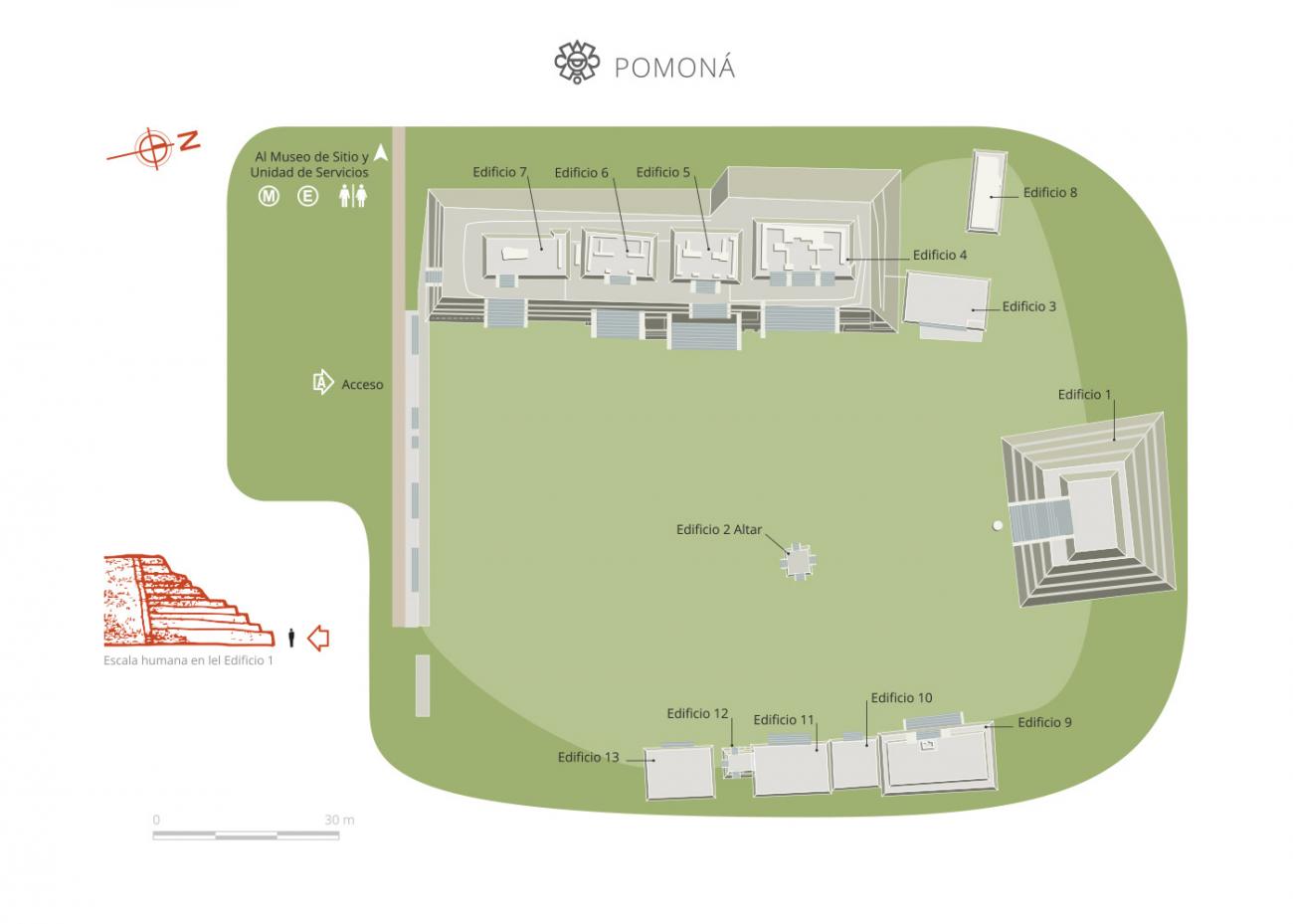
The layout of the city is dispersed, using the higher land above the flood level, where six major groups of buildings can be found, of which only Group 1 has been investigated to date.
Among the most important finds is the "tombstone of the scribe," the stela of a high dignitary, a mask of the sun-jaguar god of the underworld, eccentric flint knives, the bust of a Mayan personage, the carved tablets of Building 4 and the figure of an old man with a beard and hat. All these items are currently on display in the Pomoná Site Museum.
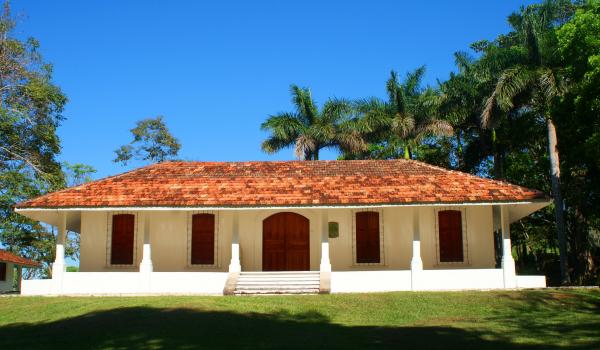
- Dirección del Centro INAHCarlos Arturo Giordano Sánchez Veríncarlos_giordano@inah.gob.mx+52 (933) 352 1022Coordinación de Zonas Arqueológicas de la región de Los Ríos, TabascoPrisilia Jannet Lagunes Celisprisilia_lagunes@inah.gob.mx+52 (993) 352 1033

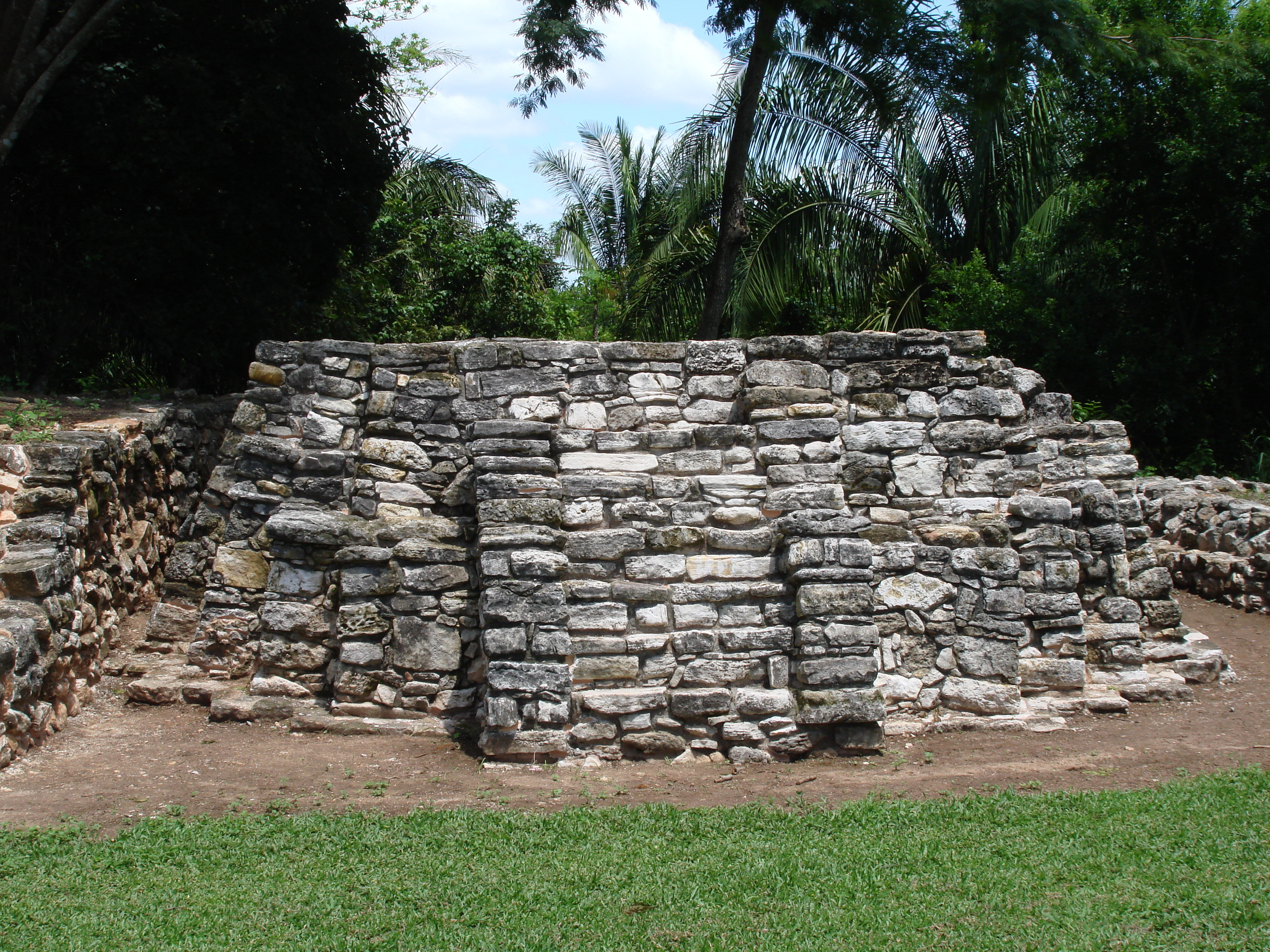
Conjunto 1
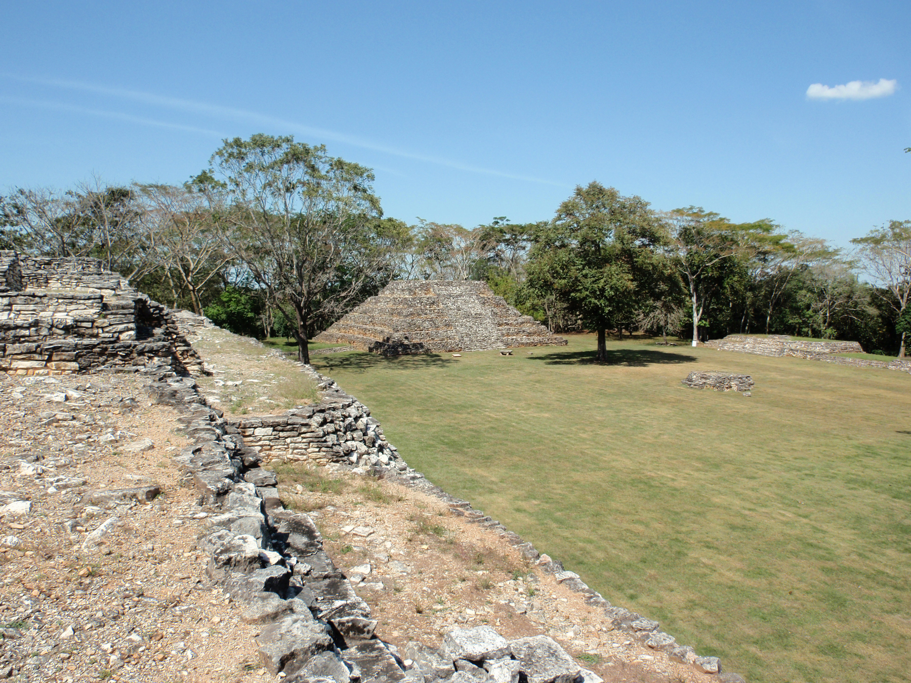
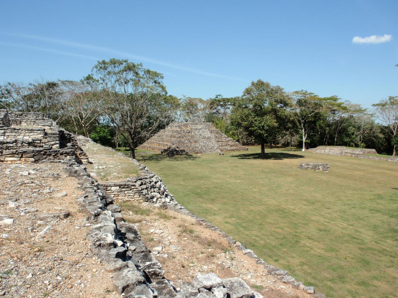
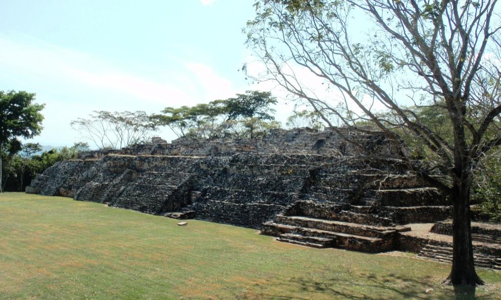
Located in the north-central portion of the site, it was a space dedicated to civic-religious activities. It is made up of 14 buildings that delimit a rectangular plaza open on the south side.

Located in the north-central portion of the site, it was a space dedicated to civic-religious activities. It is made up of 14 buildings that delimit a rectangular plaza open on the south side.
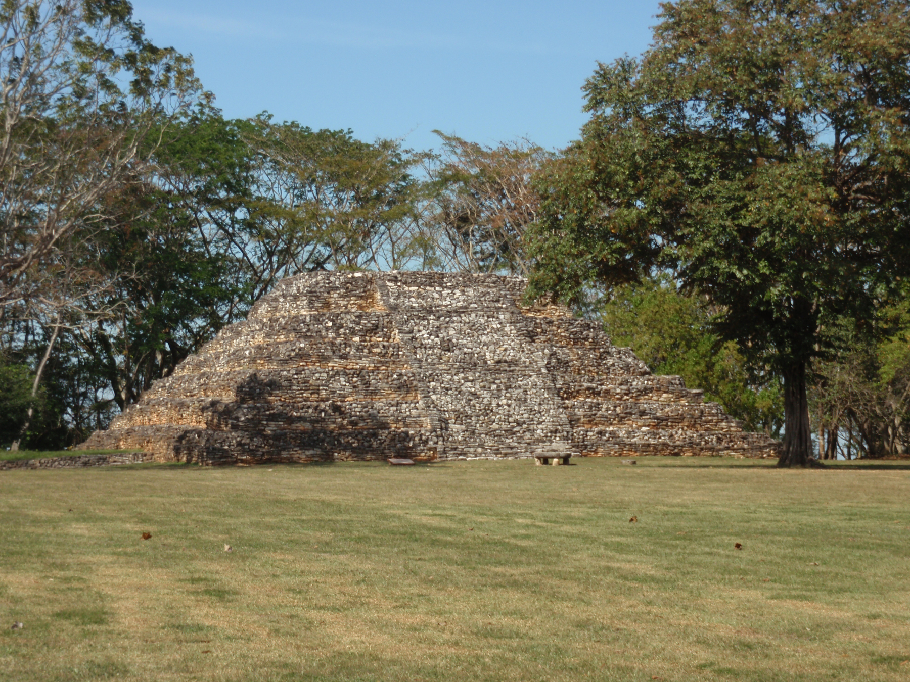
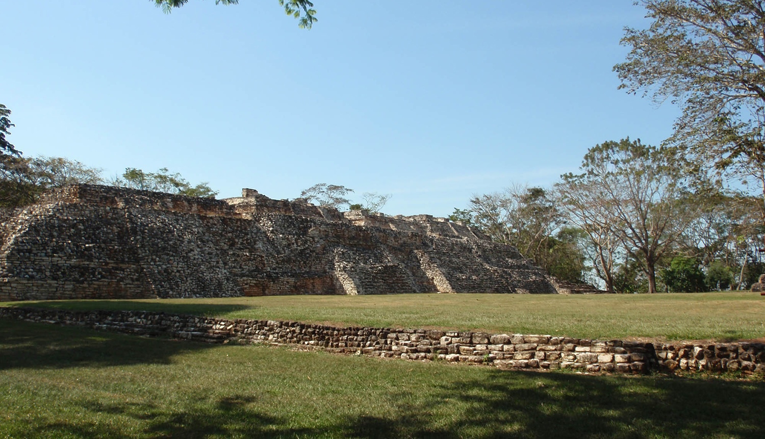
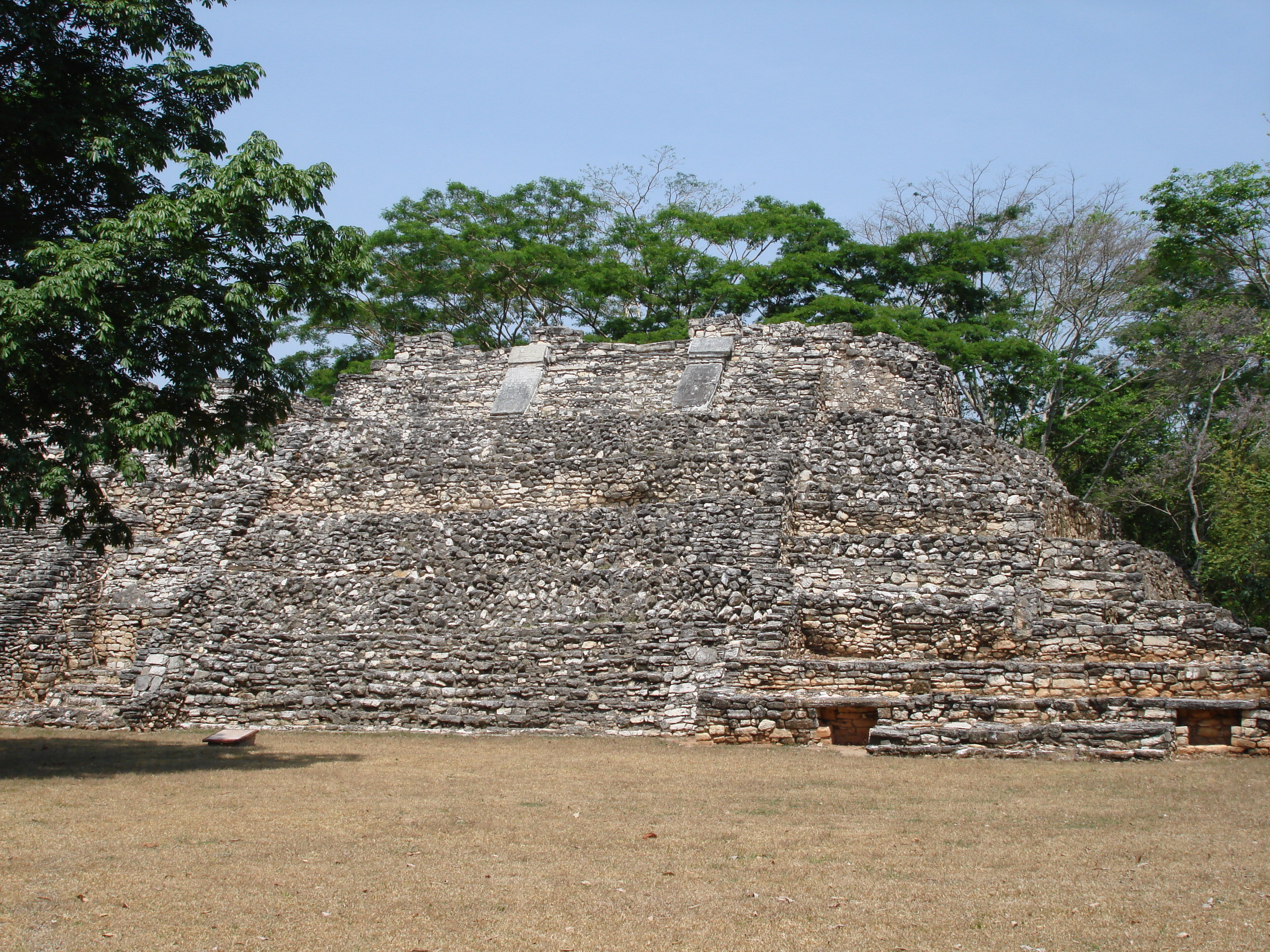
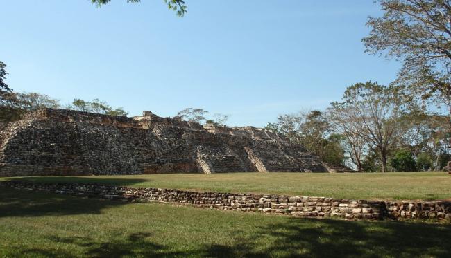
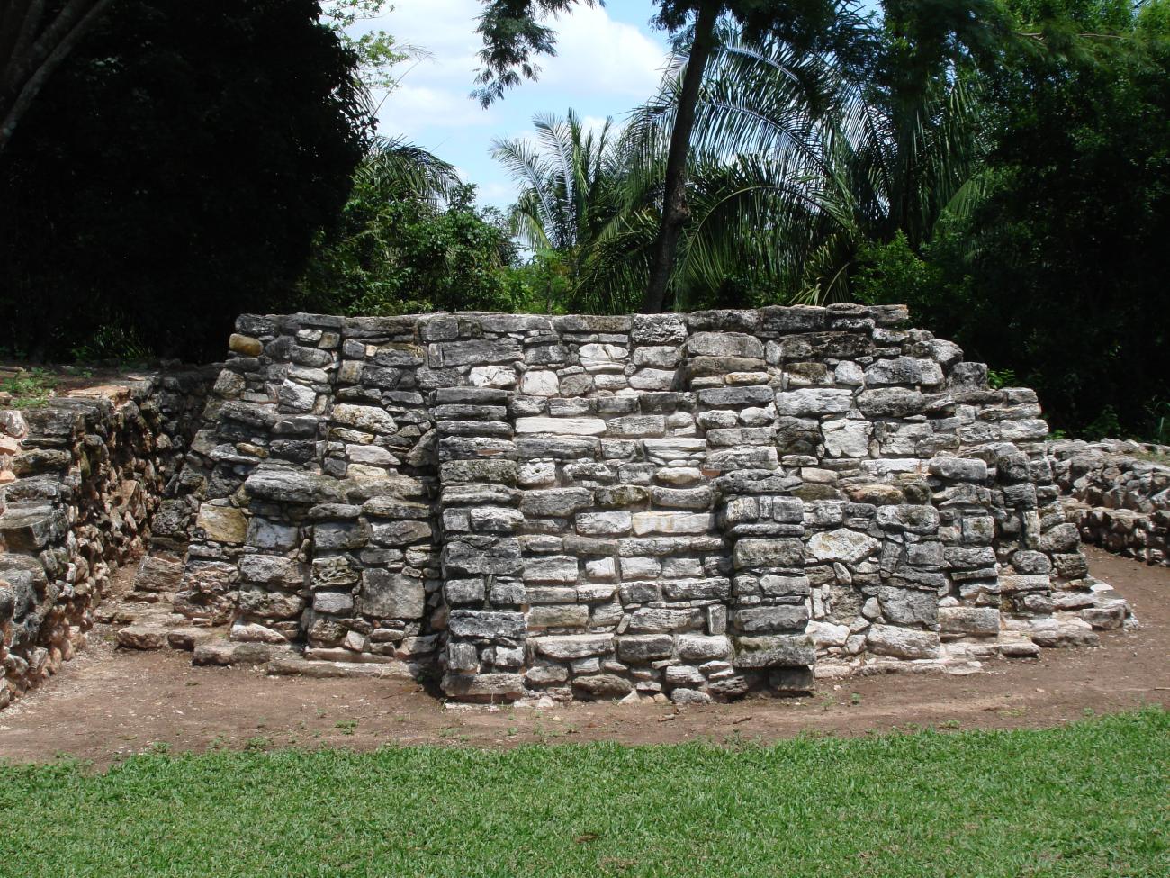
Building 1: It is a pyramidal base of 10 meters high composed of six staggered bodies and a stairway with alfardas on the south façade. Most of the sculptural monuments found are associated with this building. In front of it a monolithic altar of circular form is conserved that rests on three supports elaborated in limestone rock. On the west side of it is attached a low platform partially explored, which is known as Building 14 and perhaps corresponds to an early construction stage.
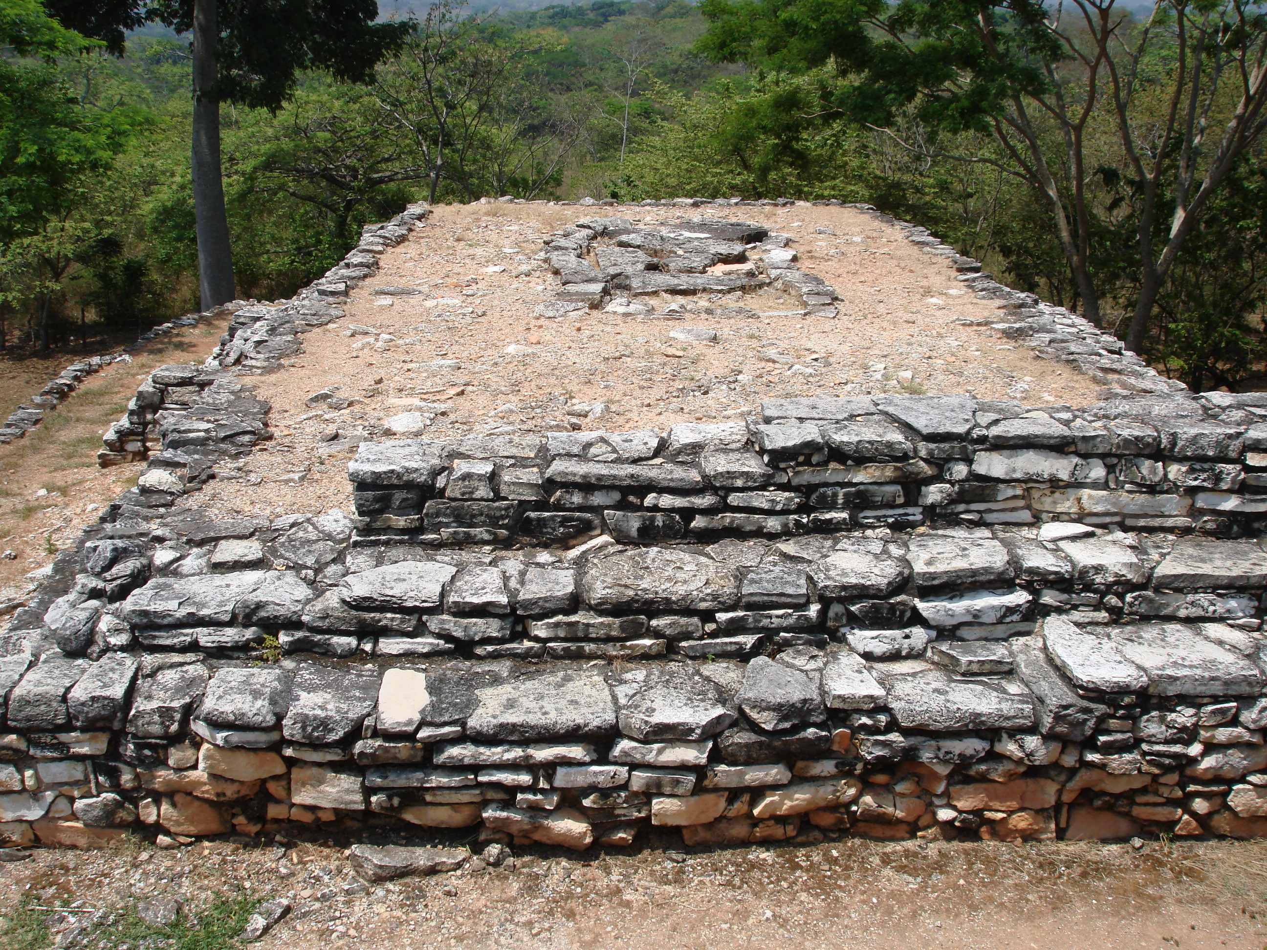
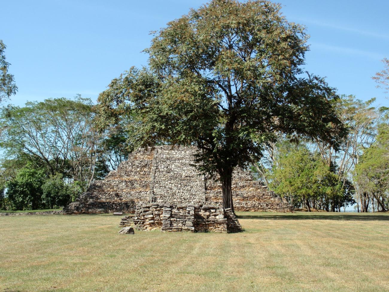
Building 2: Following a north-south axis, in the center of the plaza is Building 2, a small quadrangular foundation (it is 1.35 m high) composed of two stepped bodies. The first has a slightly sloping wall, topped with a perimeter cornice. The second is a vertical wall only preserved in its lower part. It has staircases attached to the facades, limited by narrow alfardas.

Gran Plaza, Edificios del lado oeste
On the west side of the plaza are attached Buildings 3, 4, 5, 6 and 7, built in different stages. These foundations support different temples that possibly had a vault.


On the west side of the plaza are attached Buildings 3, 4, 5, 6 and 7, built in different stages. These foundations support different temples that possibly had a vault.
Building 4: It is the highest of the complex and important sculptural monuments were found here, including four large carved slabs that top the alfardas of the main staircase, as well as domestic evidence that indicates a possible elite residential function.
Building 7: Five fragments of carved stelae were found here inside a rectangular cist covered with slabs.

Gran Plaza, Edificios del lado este
Buildings 10, 11 and 13 are low basements composed of a single body, while Buildings 9 and 12 have two staggered bodies. On the west façade of each there is a single staircase.
Buildings 10, 11 and 13 are low basements composed of a single body, while Buildings 9 and 12 have two staggered bodies. On the west façade of each there is a single staircase.
Building 12: It has unique characteristics. It is a small rectangular base with tucked corners and rests on a low plinth that supports two bodies with sloping walls. It also has a staircase on each façade; the one on the west side is distinguished by the existence of alfardas and a small landing that divides it into two sections.