


Los Tepoltzis
Its location on top of one of the hills close to the town of Tixtla leads us to believe that this small ceremonial center was dedicated to the rain god. The skill of its inhabitants in working stone is patent in the masks and figurines they left at this site.
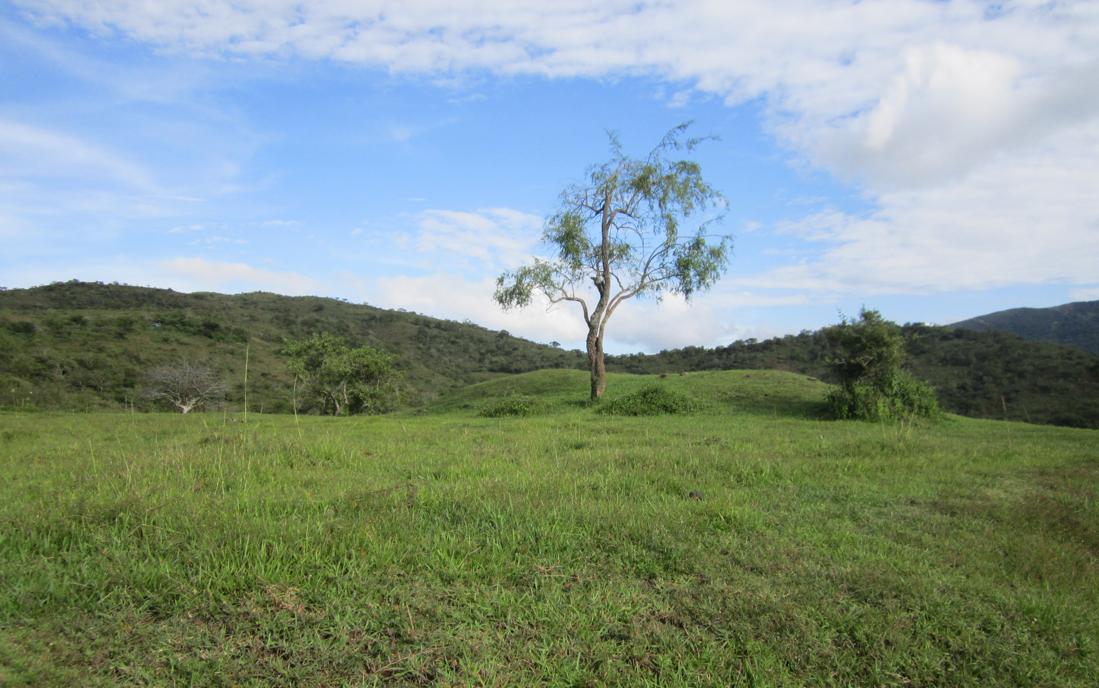
The Los Tepoltzis archeological site is in the municipality of Tixtla, in the central region of the state of Guerrero. The site is named Tepoltzis after the hill on whose slopes it stands. The site spreads over the hillside and is bordered by gullies, which in the rainy season help to drain a large quantity of water, to be used for irrigating crops such as chickpea, maize and beans.
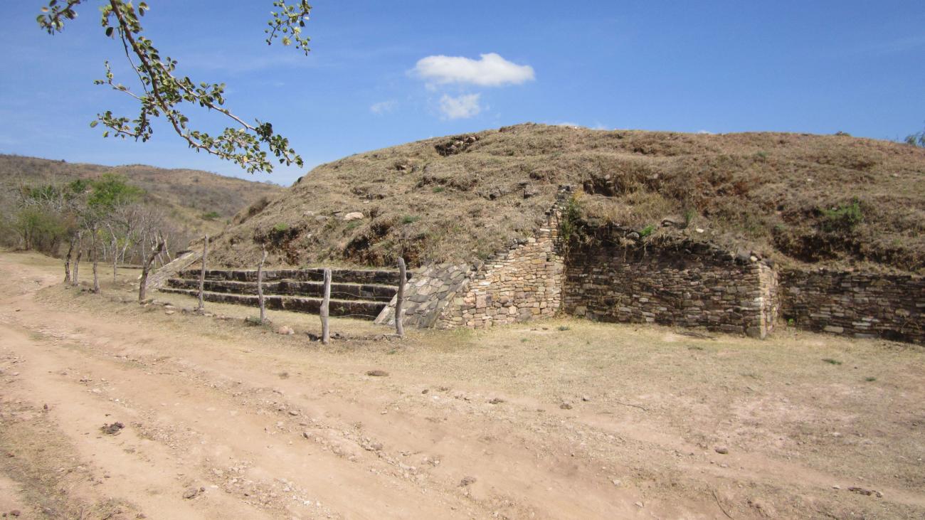
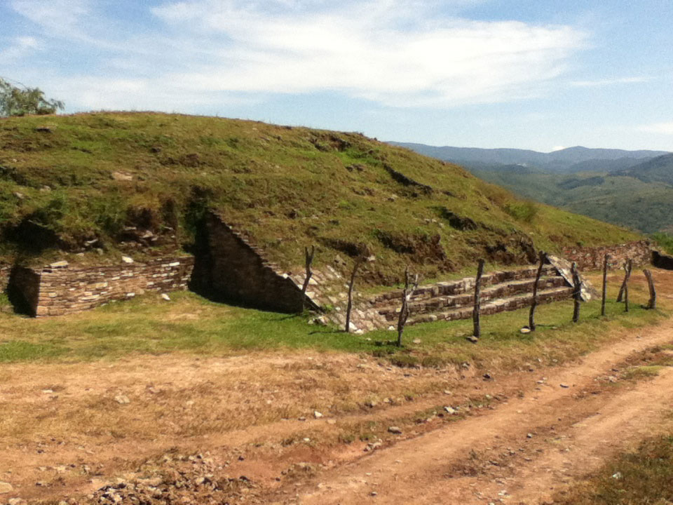
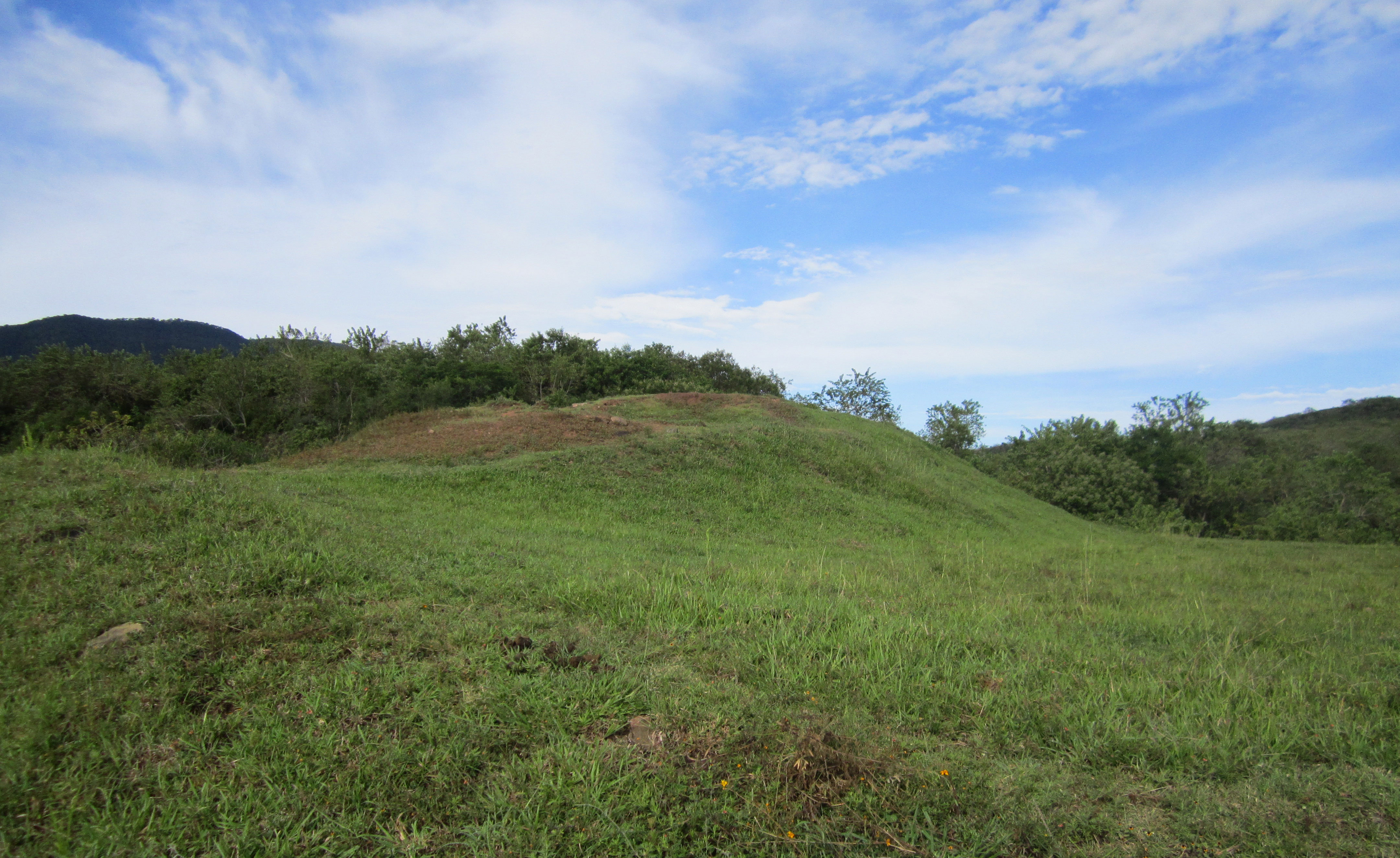
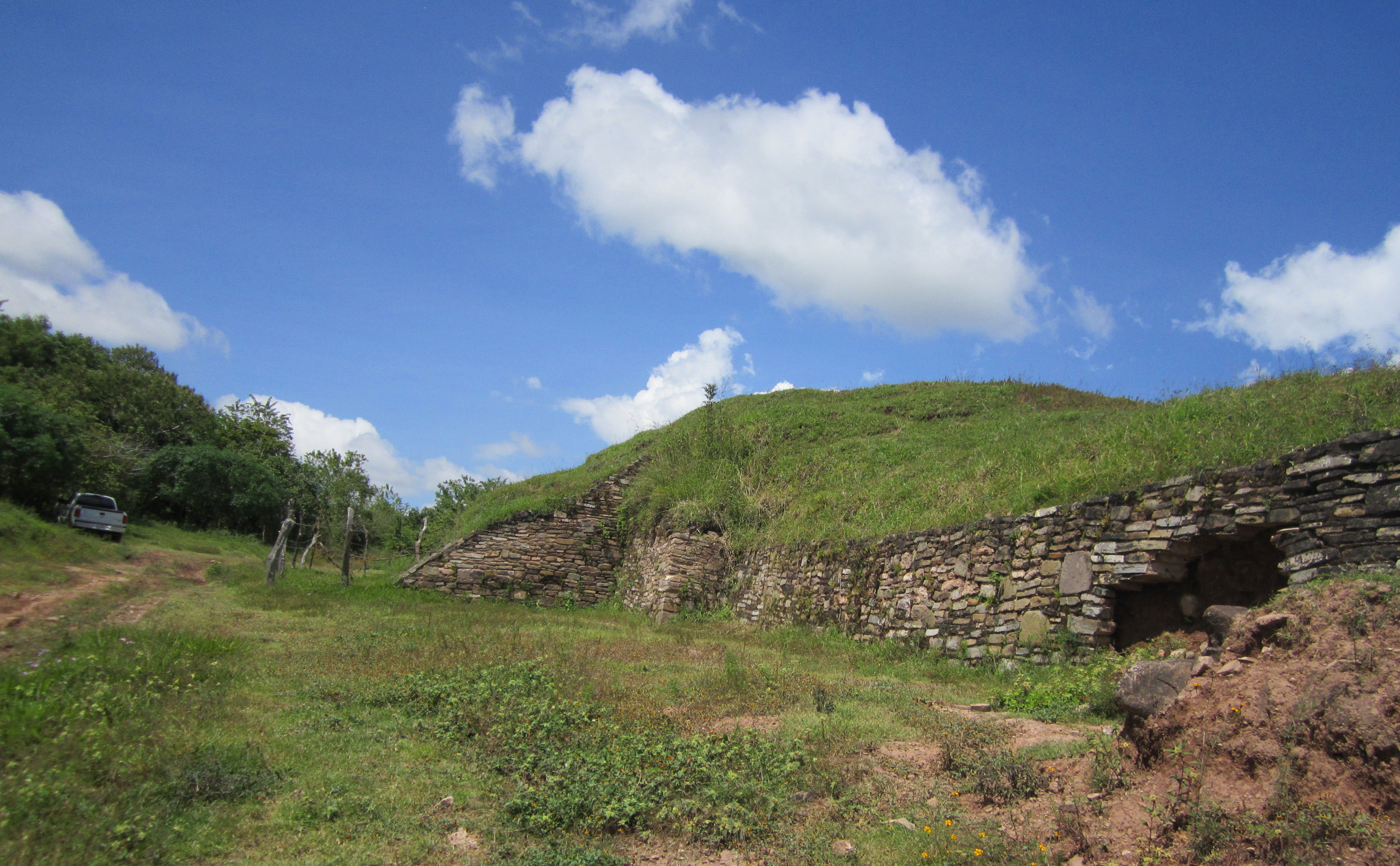
The civic and religious area is marked by mounds, plazas and patios, which are distributed across natural and artificial terraces, adapting to the shape of the terrain. The residential area was spread over the hillsides but has been partly destroyed by modern farming.
To understand the role played by the site during the pre-Hispanic period, we must start by looking at its geographical location between the central and mountainous regions of Guerrero. According to the writings of Miguel Covarrubias, it was in the cultural region known as Mezcala. The particular style of a number of stone objects has been used as the key for determining the cultural unity of the region. In parallel to the Mezcala style, nearby municipalities have large quantities of Olmec objects. The use of local primary materials for their manufacture and the abundance of these objects allows us to assume that these did not arrive here through exchange or trade.
The site is dated from the Early Classic period (200) to the Early Postclassic (1200), although there was some human occupation of the site from 1000 to 700 BC. In the pre-Hispanic period it was a small regional center made up of a civic and ceremonial area with a plaza and a series of surrounding platforms. The civic religious center covered approximately three quarters of an acre and comprises six mounds, four plazas and two courtyards.
One of the facades of the principal structure can be seen today. It displays the features of a pyramidal plinth with stone-clad walls and stairways with balustrades (features flanking the stairway); these are steeply sloped as was typical of the Early Postclassic. The ceremonial center was surrounded by dwellings housing the settlement's population, covering a total area of 40 acres.
Since it was situated on the top of the hill the rain gods might have been the focus of worship. According to the pre-Hispanic worldview, the rain gods lived on the hill tops. In fact, some of the surrounding communities still carry out rain-related ceremonies at the site.
- Dirección del Centro INAHHéctor Romeo Torres Calderónhector_torres@inah.gob.mx+52 (747) 471 7121