


Huexotla
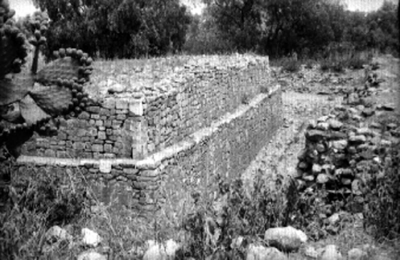
Situated near Texcoco, this pre-Hispanic city was one of the most important settlements of Acolhuacan. It covered an enormous area, extending beyond the boundary marked by a great wall 765 yards long by 23 feet high.
Huexotla is the name given in various pre-Hispanic and colonial documents to the settlement lying to the east of Lake Texcoco in the foothills of Sierra del Quetzaltepec (7,447 to 8,497 feet above sea level) which occupied up to 924 acres at its height. The historical documents tell of the arrival of various groups in the eastern region of Lake Texcoco, the settlement of towns such as Coatlinchan and, later on, Huexotla and Texcoco, as well as political alliances through marriages or confrontations.
One of Huexotla’s most important historical episodes came in 1418, when Ixtlixóchitl I, whose son and heir was Nezahualcoyotl, was sworn in as Lord of Texcoco. This took place at an improvised ceremony presided over by Tlacatzin, Lord of Huexotla, with the presence of Opanteuhtli, Lord of Coatlinchan. The normal protocol for the handover of power could not be followed due to the plans of Tezozomoc, Lord of Azcapotzalco, to seize control of the lake’s eastern region; he even sent his armies to kill Ixtlilxochitl. It was then that Tezozomoc assumed control of Coahuatlinchan, granting the territory of Huexotla to Tlacateotl, ruler of Tlatelolco, and the city of Texcoco to Chimalpopoca, Lord of Tenochtitlan.
Upon Tezozómoc’s death in 1426, Nezahualcoyotl took advantage of the ensuing conflicts over succession to the rule of Azcapotzalco to retake his place of origin. In alliance with cities opposed to Tepanec rule, he defeated these groups and, together with his allies, reorganized political life. To do so, he renewed the powerful alliance of three-city rule, the so-called excan tlahtoloyan (“ruled by three” or “the place of three-part rule”), commonly known as the Triple Alliance, which in 1427 consisted of the cities of Tenochtitlan, Texcoco and Tlacopan. Netzahualcoyotl regained control of Acolhuacan, recognizing the Lord of Huexotla as one of the six people of high rank who participated in the bodies of justice and government.
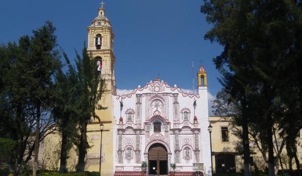
After the Conquest had been concluded, Huexotla continued to be a domain and part of the encomienda temporarily assigned to Cortés, as were Chiahutla, Tezayuca and Coatlinchan. The Franciscan monastery was founded in Huexotla in 1524. Viceroy Antonio de Mendoza granted a licence to build the Franciscan monastery of San Luis D’Anjou (Saint Louis D’Anjou, Bishop of Tolouse) in 1543. Fray Jerónimo de Mendieta wrote part of his Historia eclesiástica indiana (Ecclesiastical History of the Indians) in this place, which was completed in 1585.
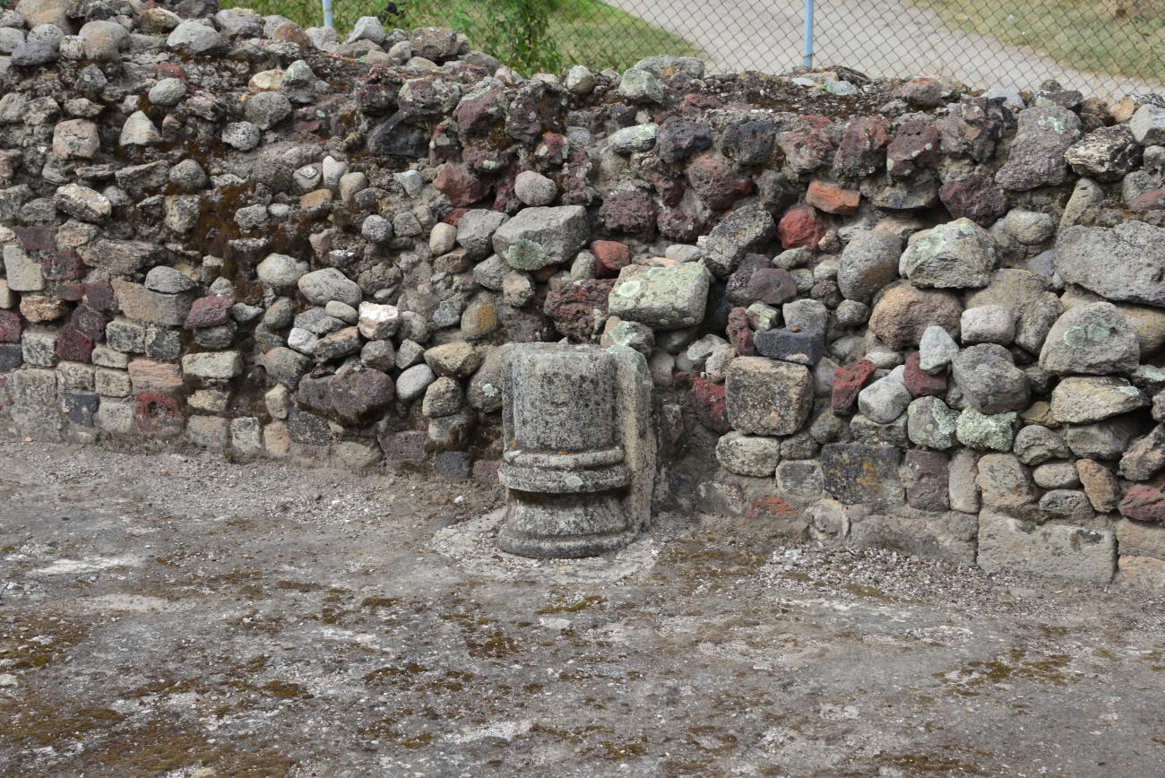
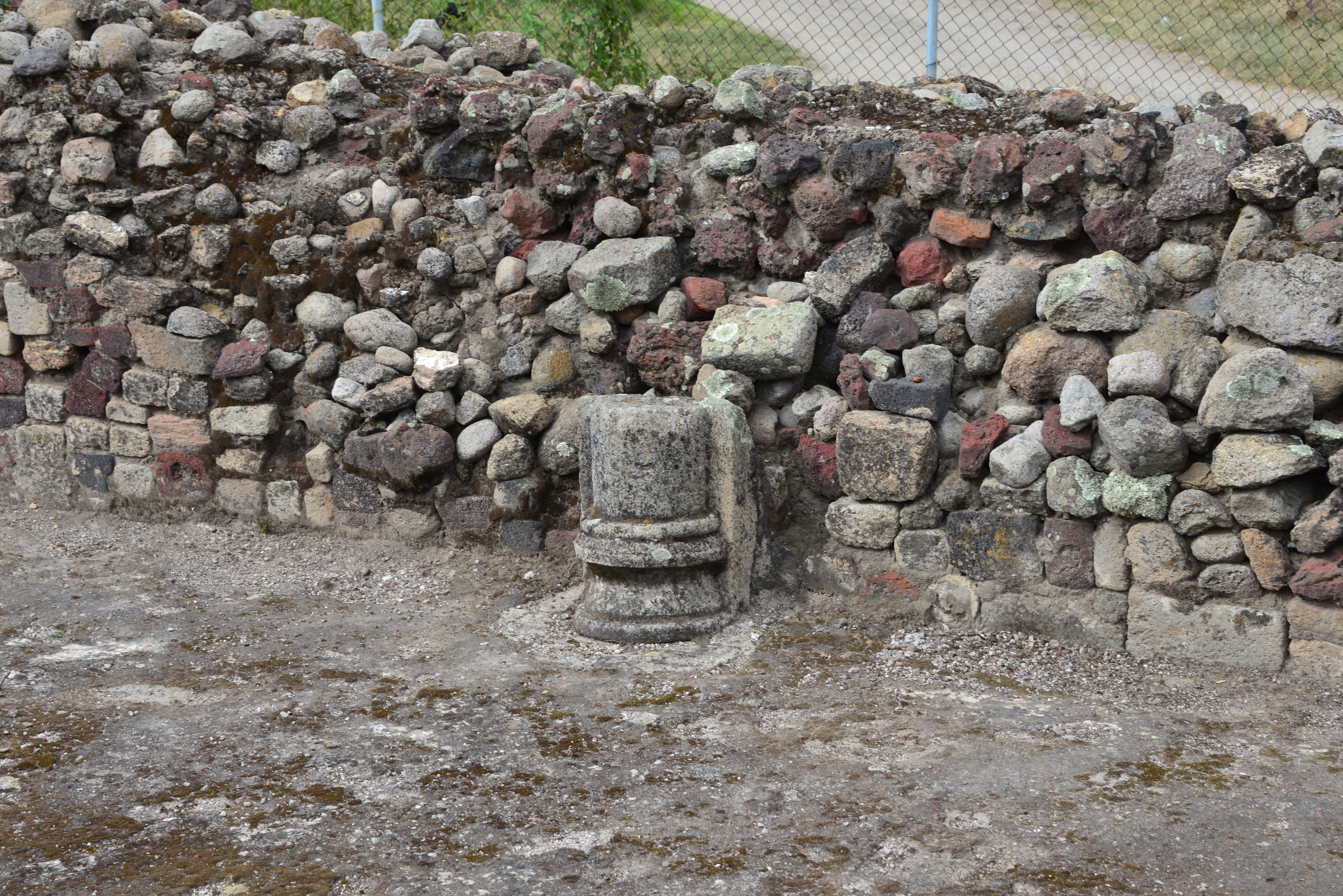
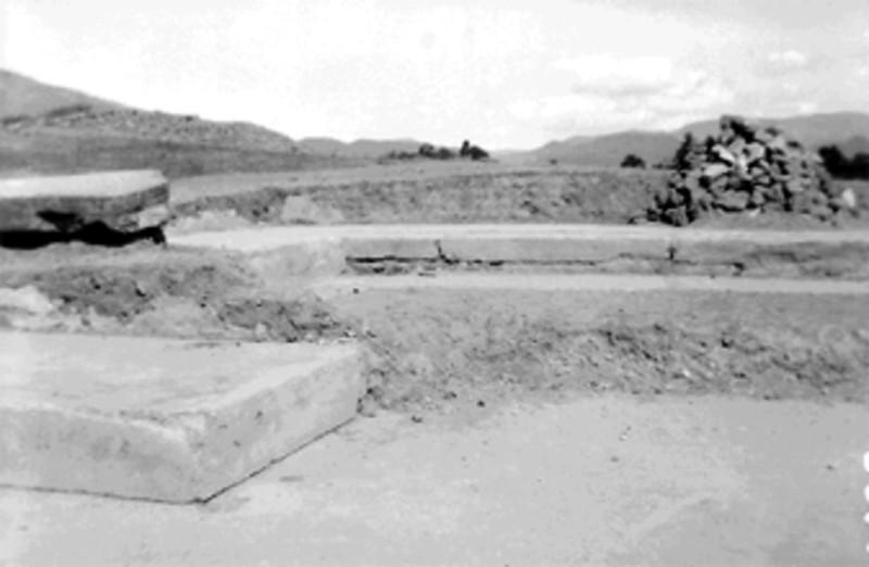
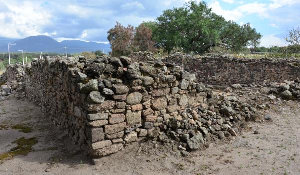
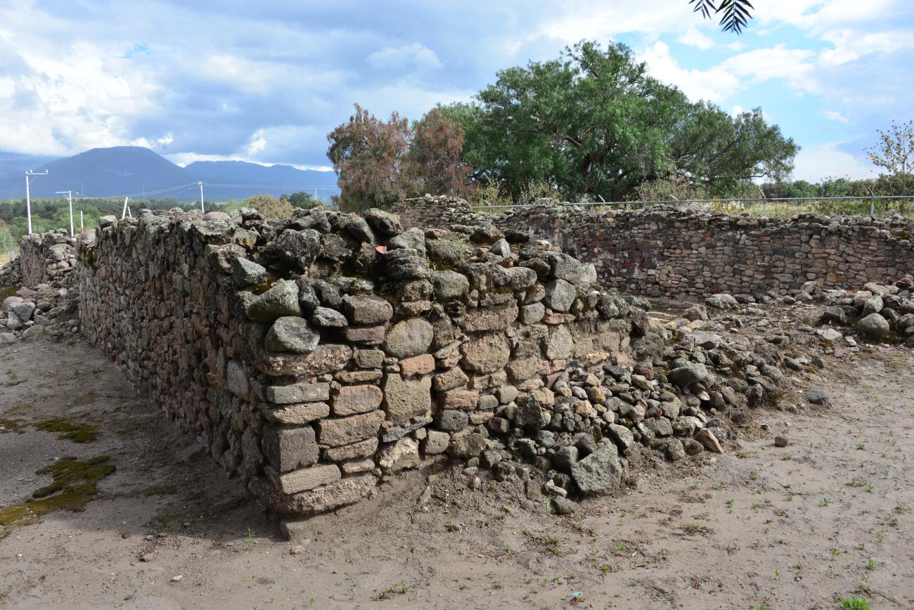
As regards the archeological monuments, the first news of their exploration came from Leopoldo Batres, who published Explorations in Huexotla, Texcoco and El Gavilán after carrying out the corresponding architectural surveys. Visits were made and conservation, exploration, registration and protection work was done towards the second half of the twentieth century to define the first protected area of the archeological zone. Furthermore, the architectural complexes bearing the name of the plots on which they were found were investigated and protected. Those ruins still preserved lie in the center of San Luis Huexotla, between the Chapingo and San Bernardino rivers, as well as to the south of the latter river.


- Dirección del Centro INAHNahúm de Jesús Noguera Riconahum_noguera@inah.gob.mx+52 (722) 215 7080ResponsableMartha Patricia Hernández Mendozamartha_hernandez@inah.gob.mx+52 (722) 213 9581
Conjunto 1
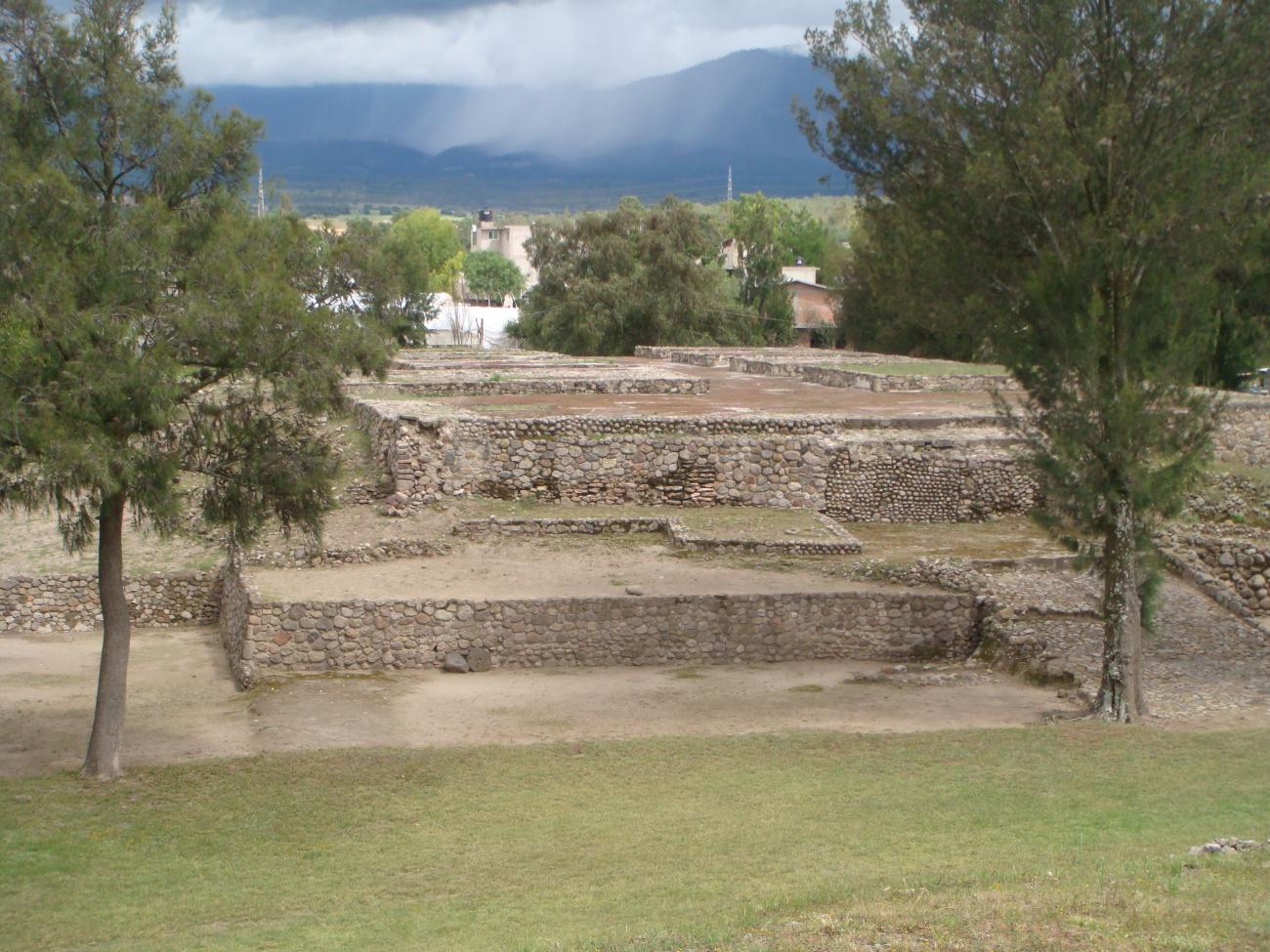
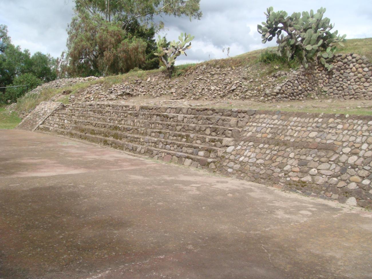
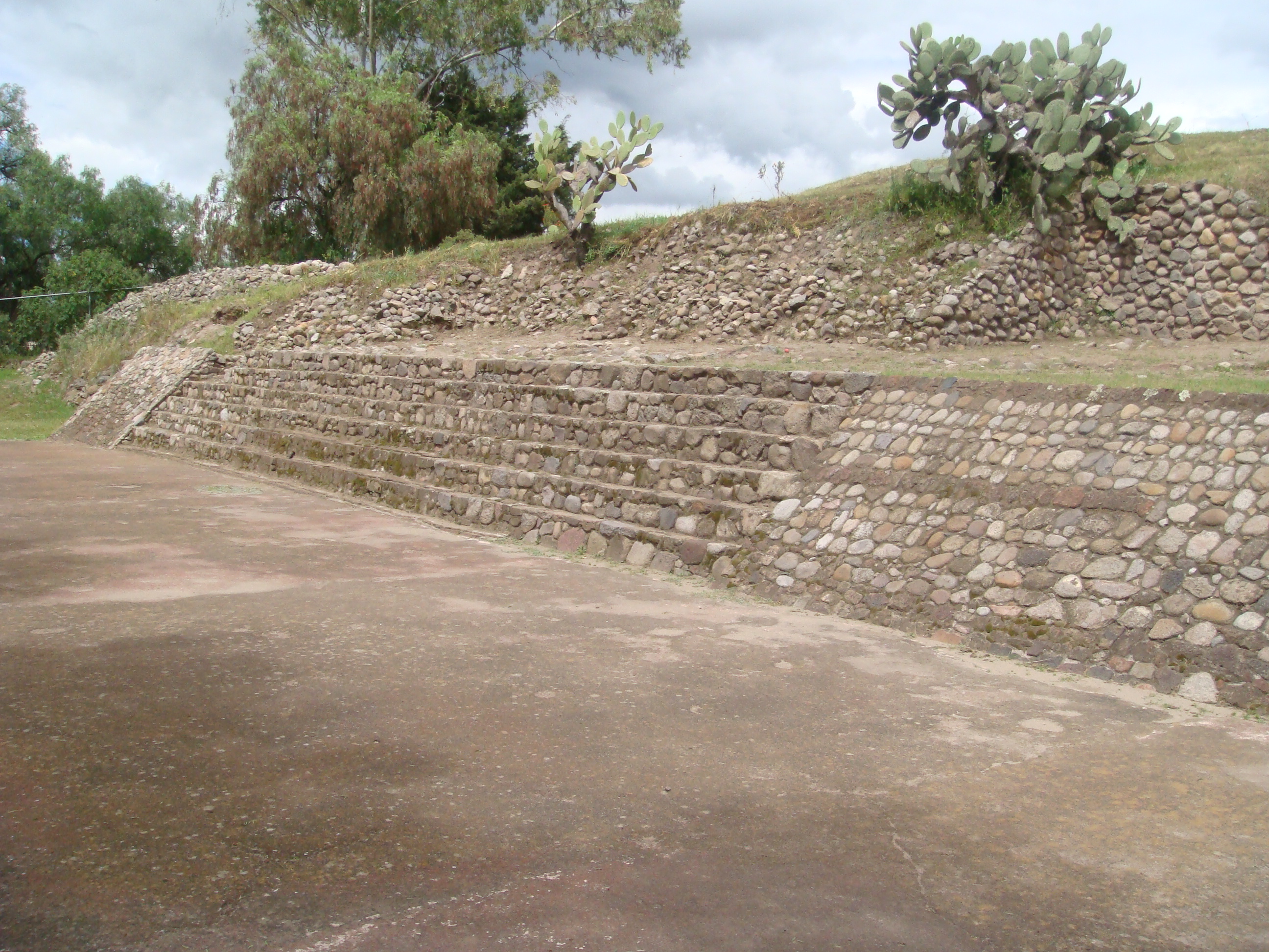
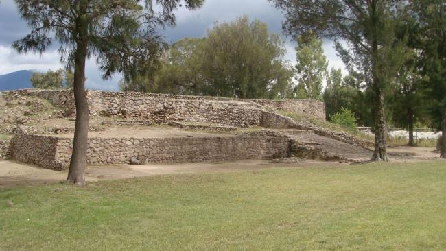
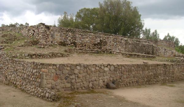
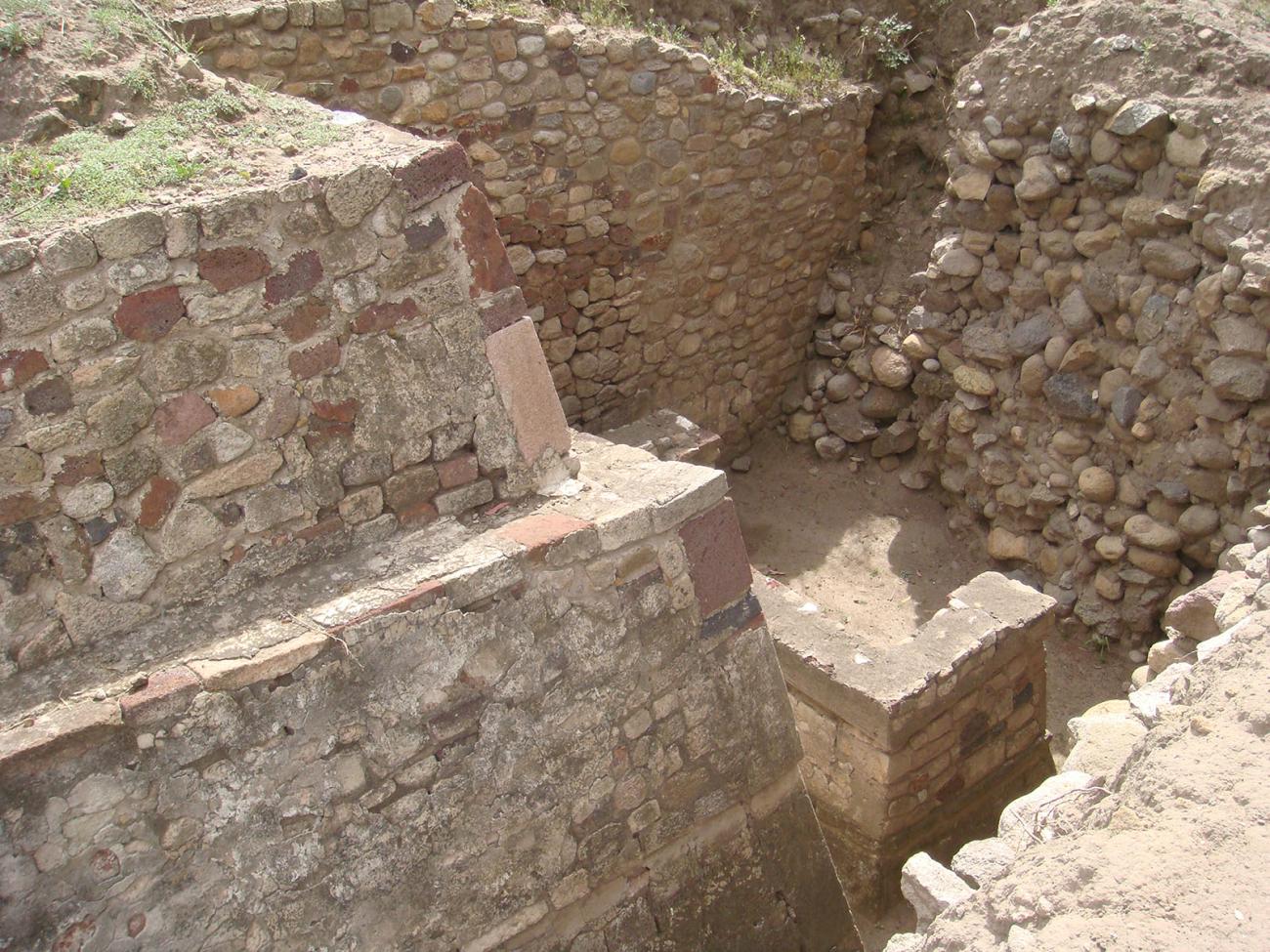
The Community or West Structure: This is a building of large dimensions that is known as Set 1 or main. It is one of the two that make up the archaeological zone open to the public.
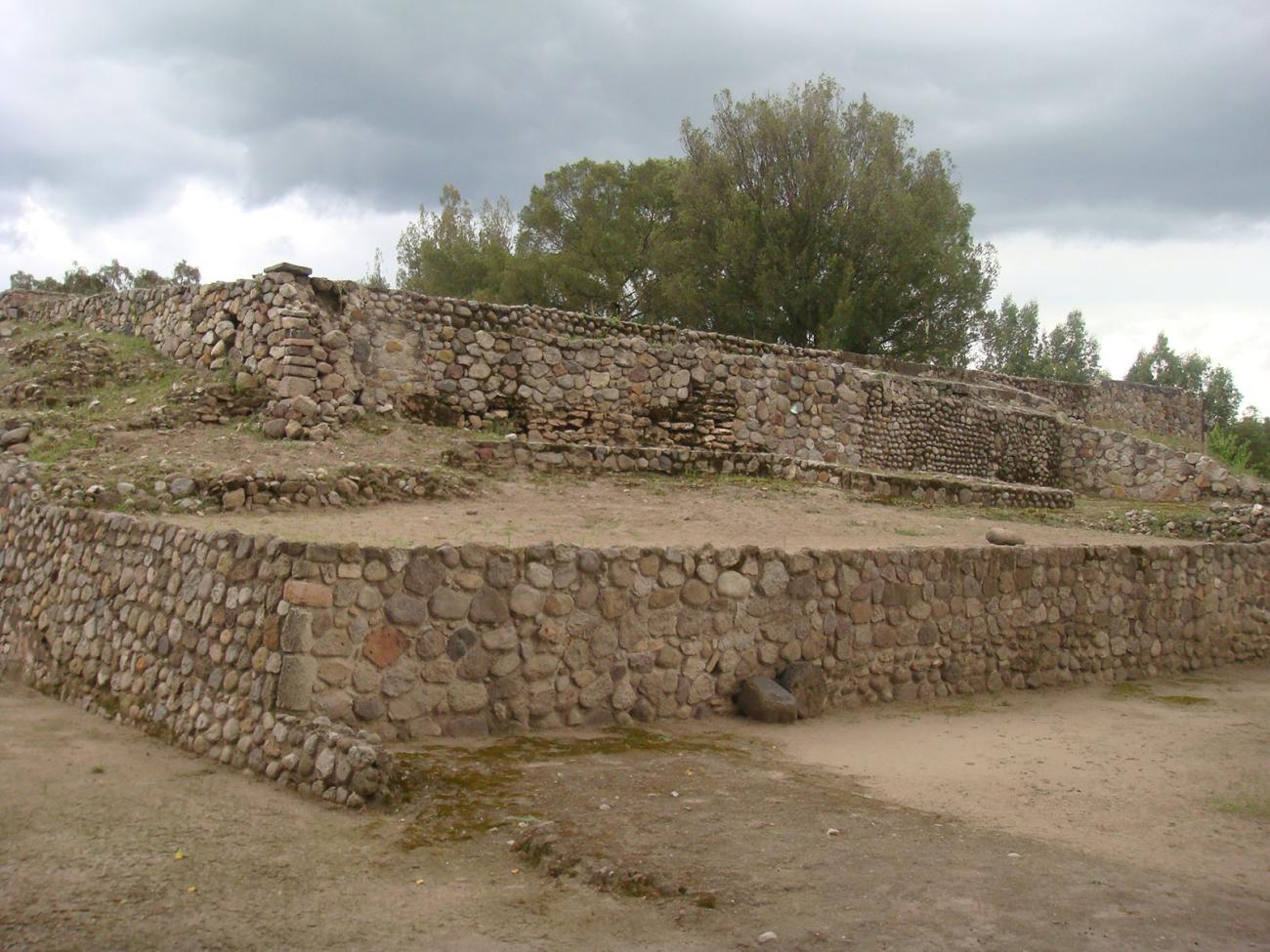
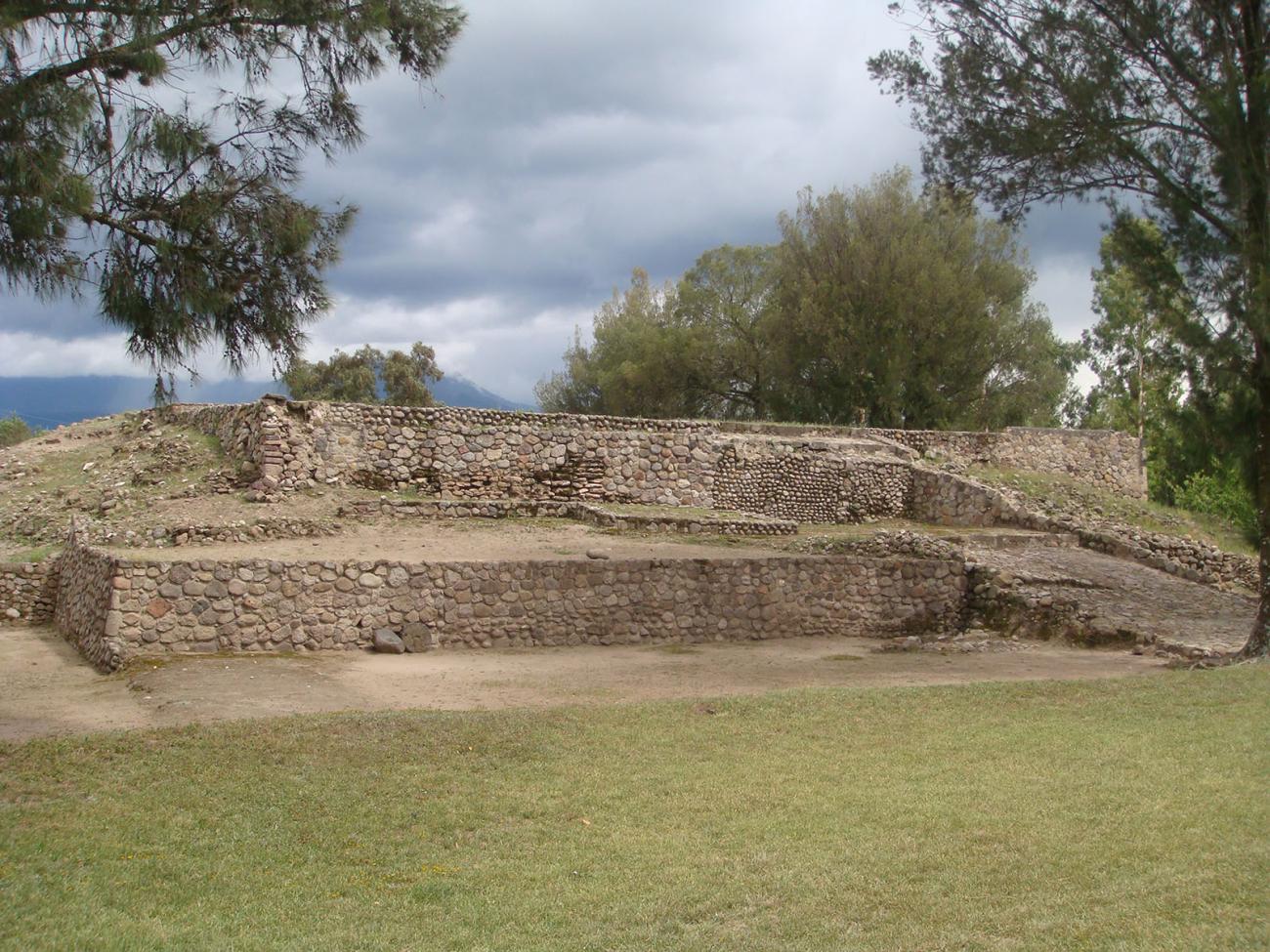
The Community or West Structure: This is a building of large dimensions that is known as Set 1 or main. It is one of the two that make up the archaeological zone open to the public.
The Estancia or East Structure: It has been partially explored. It is possible to observe the two staggered bodies that form it, as well as remains that indicate that it also had several rooms.
San Marcos
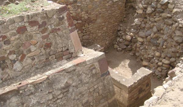
Located south of Set 1, across the Barranca de San Bernardino, it consists of a building in poor condition. It has a structure and a substructure from whose west side there is a stairway.
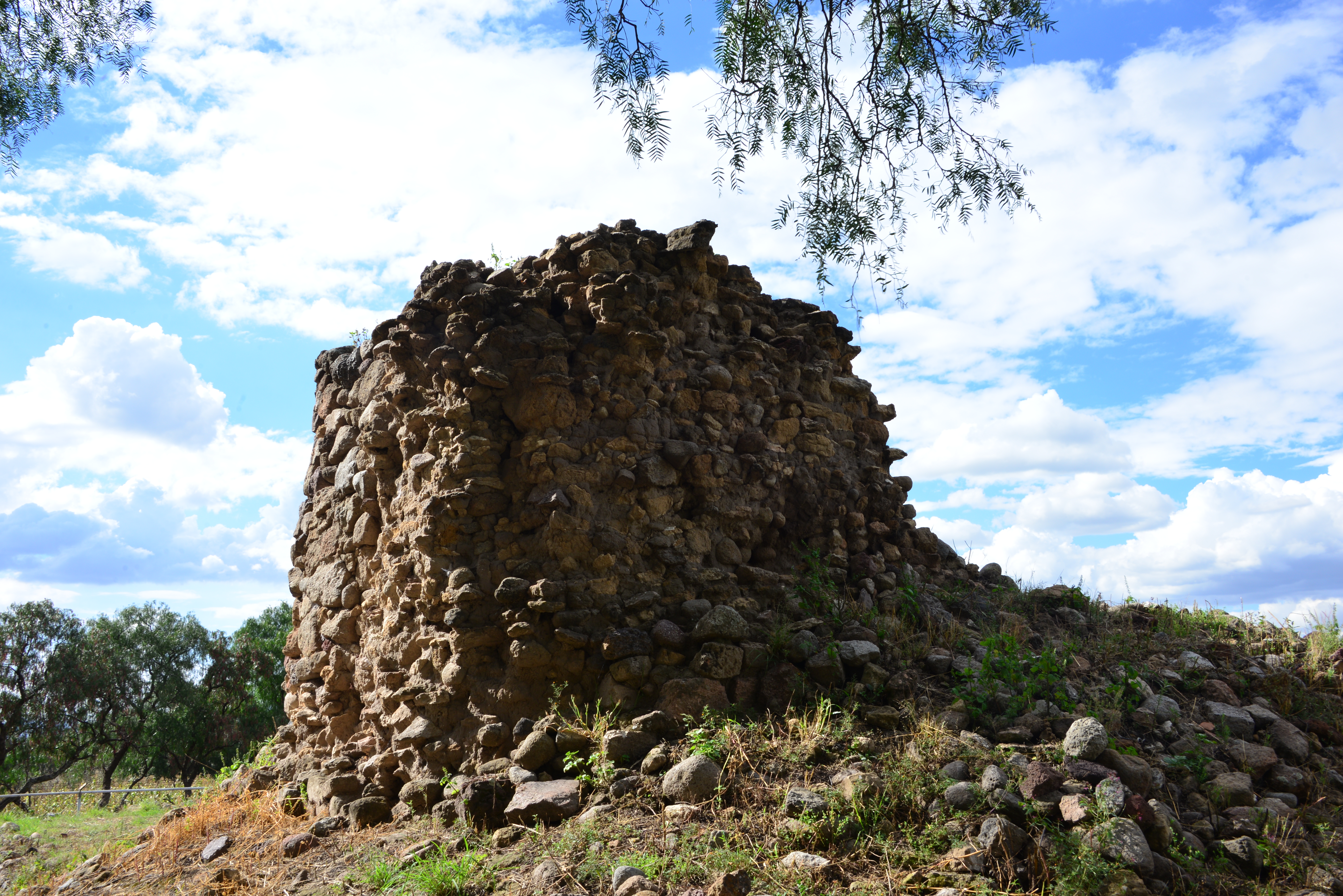
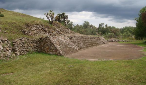
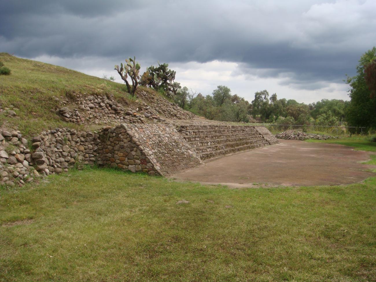
Templo circular de Ehécatl
It is also located south of Set 1. It has a circular shape, which indicates that it was dedicated to Ehécatl-Quetzalcóatl, god of the wind, and shows a stairway attached and oriented to the east.
Santiago
It is a small structure distinguished by its slight elevation. A small chapel was erected on it in the 16th century.
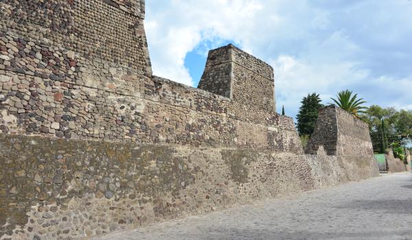
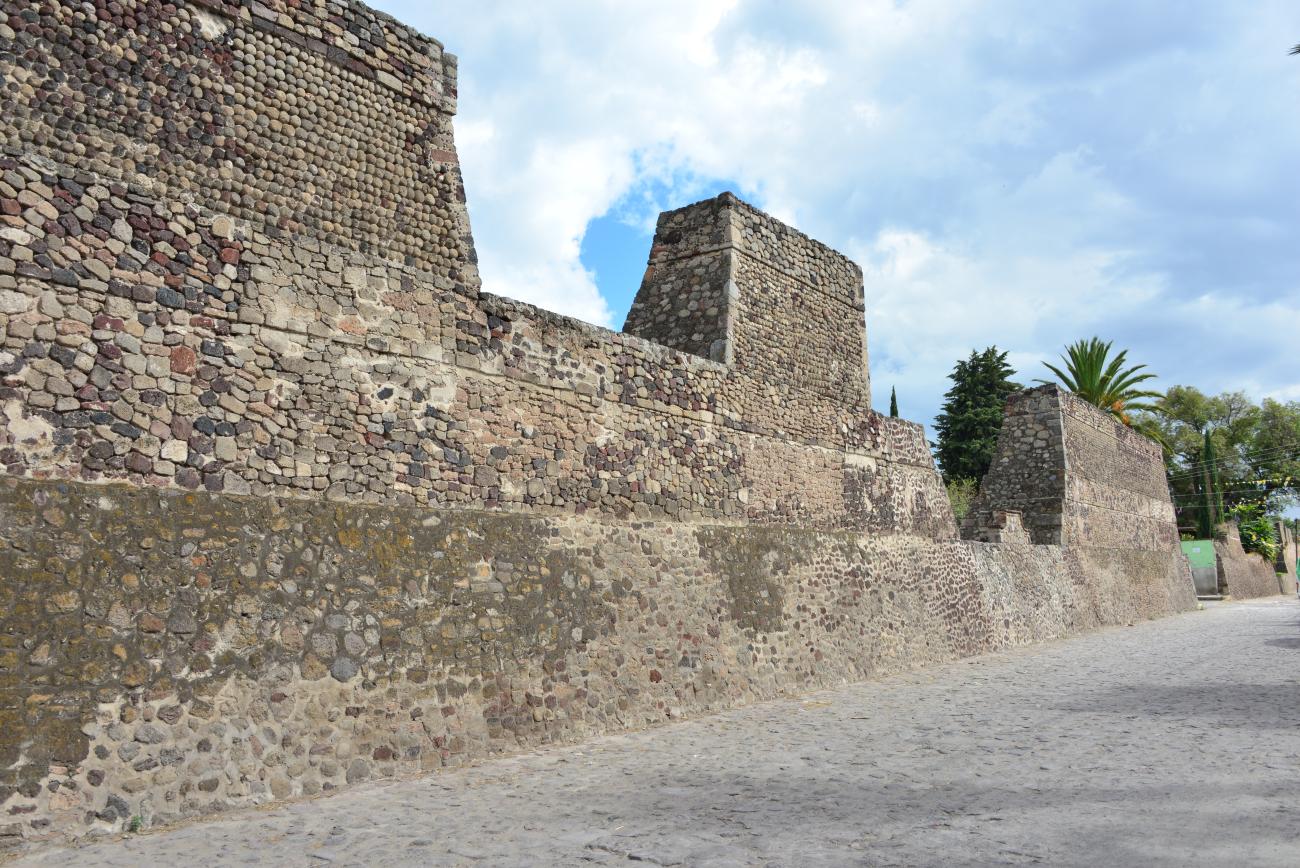
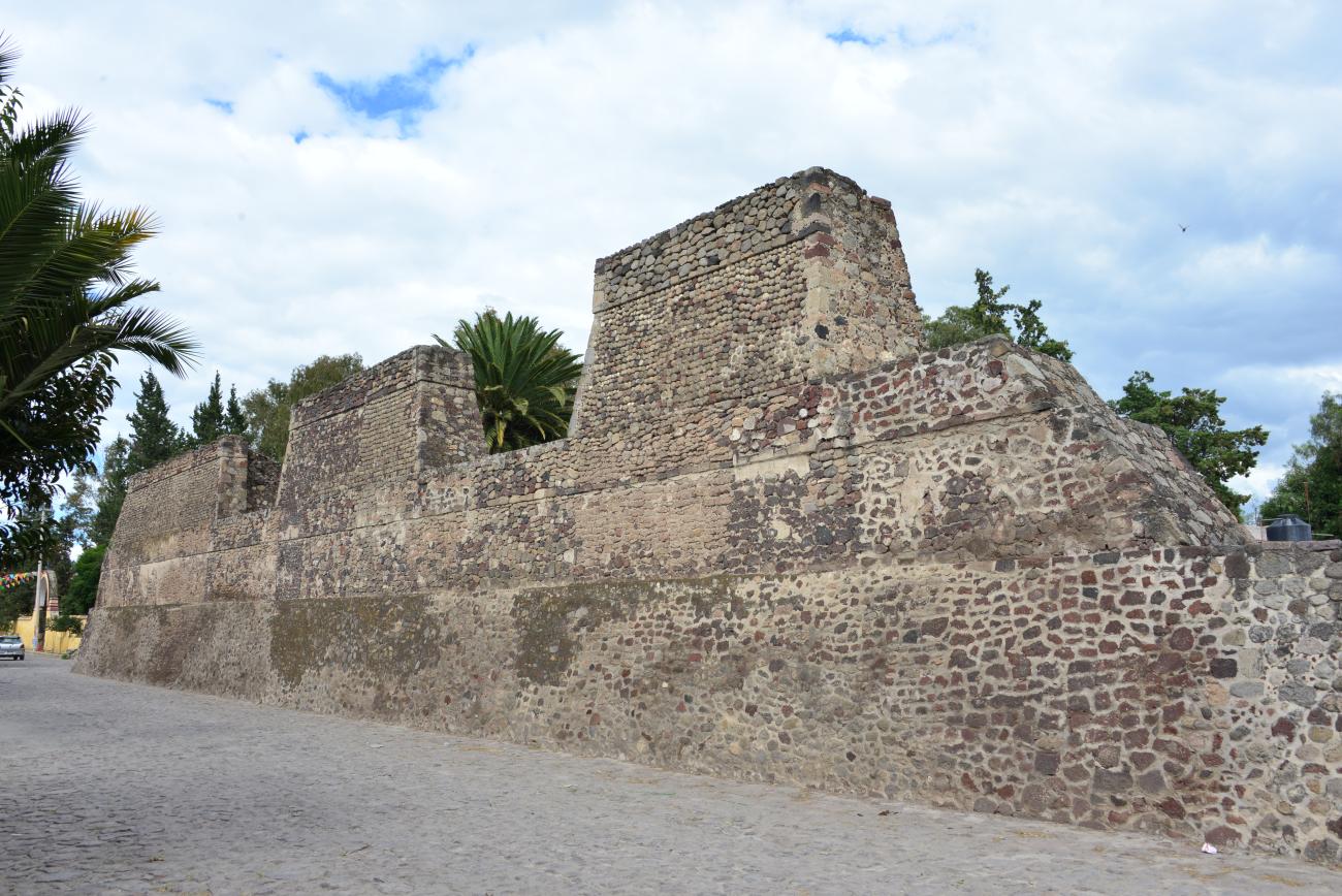
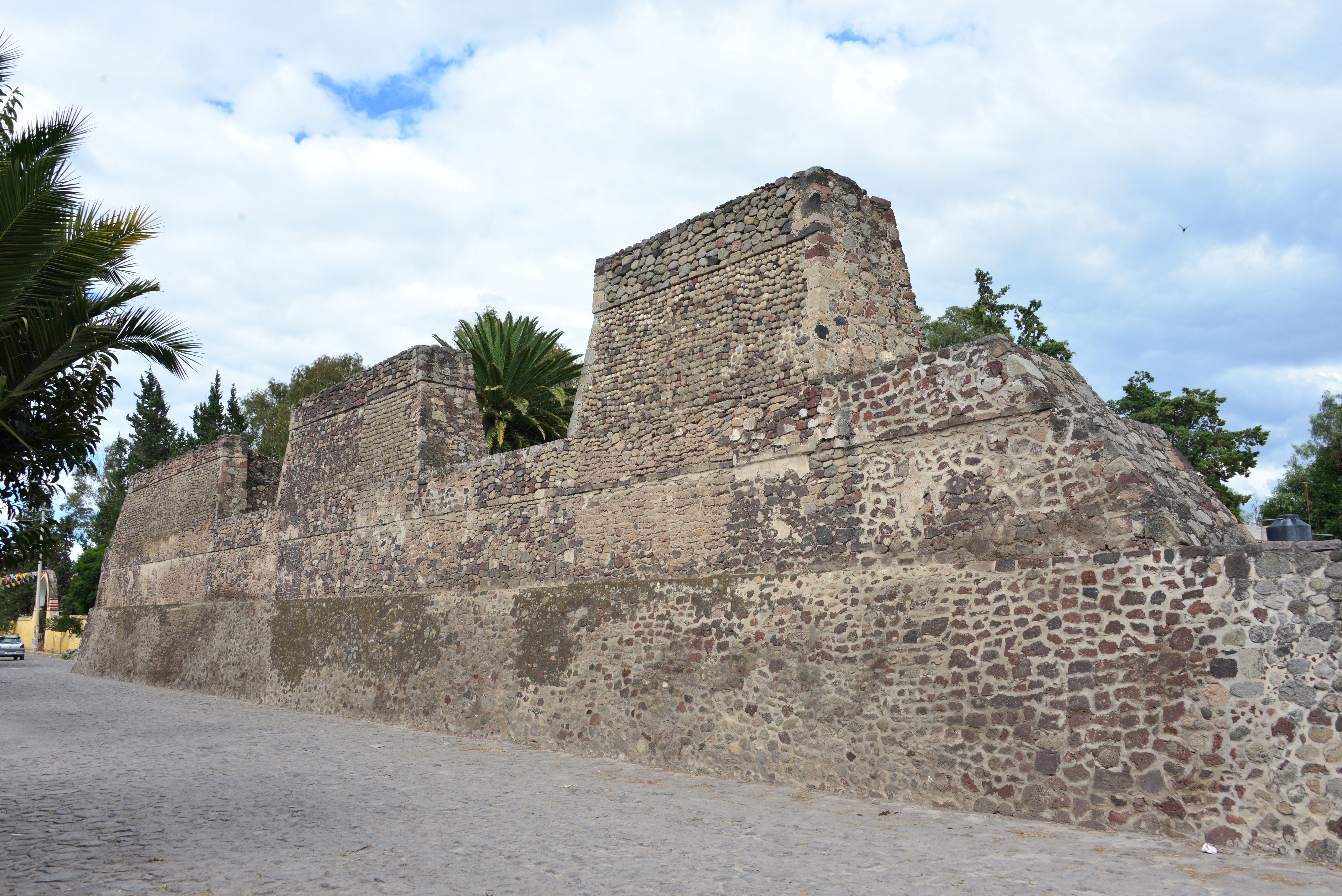
La Muralla
It is located on Aztecas Street and covers from the San Bernardino ravine to the atrium of the San Luis Obispo Church. This element was unusual in the architecture of the period.