


El Sabinito
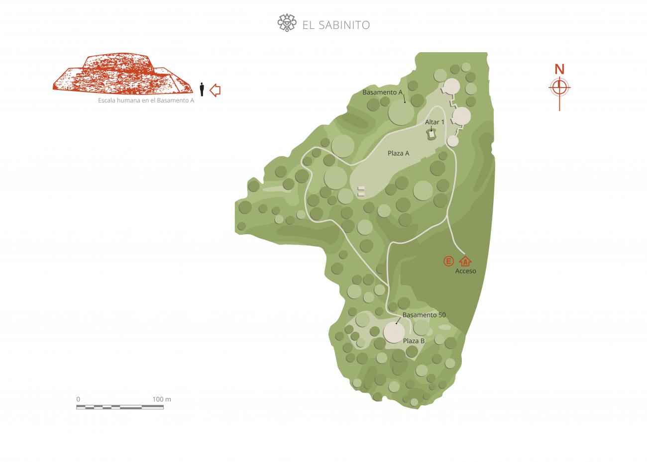
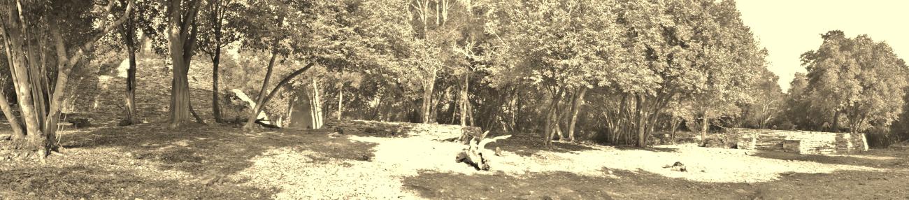
In the foothills of the Sierra de Tamaulipas, it has more than 600 structures adapted to the irregular local terrain. The highlights are two enormous circular constructions and a pyramid with a ceremonial altar.
El Sabinito is one of the settlements with the longest records of occupation in the Sierra de Tamaulipas, beginning more than 12,000 years ago when the first nomadic groups of hunter-gatherers passed through. On the other hand, the founders of El Sabinito, who inhabited the site between 200 and 1300, were sedentary farmers, belonging to the “Pueblito Complex” of the Sierra Cultural Tradition.
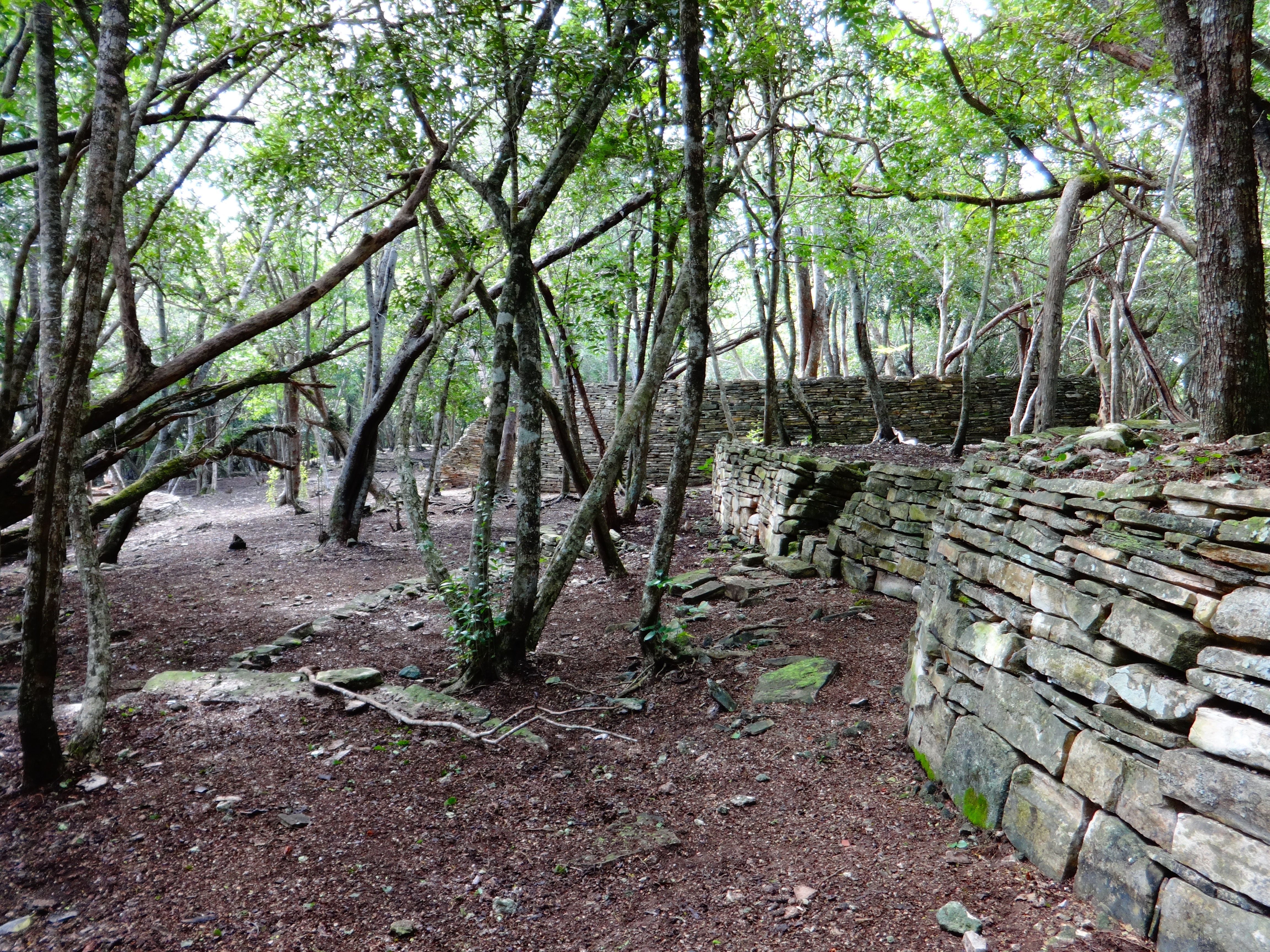
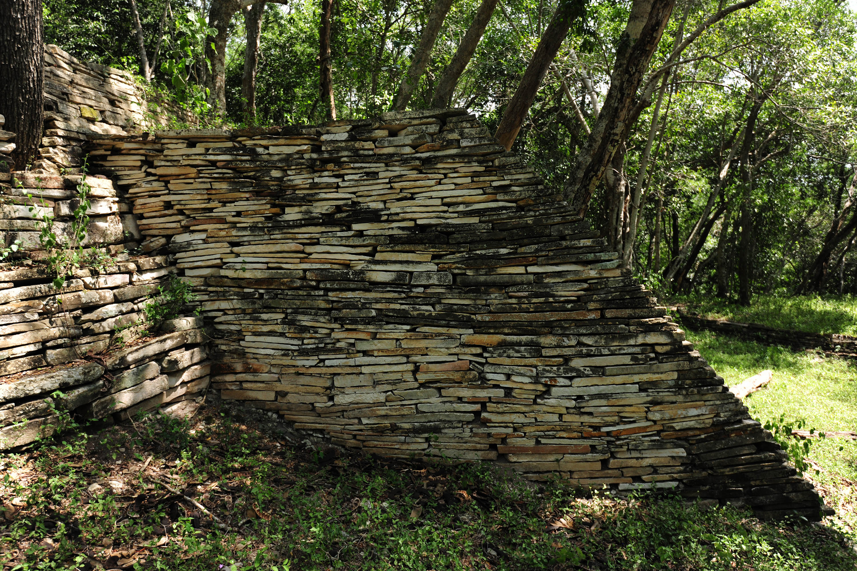
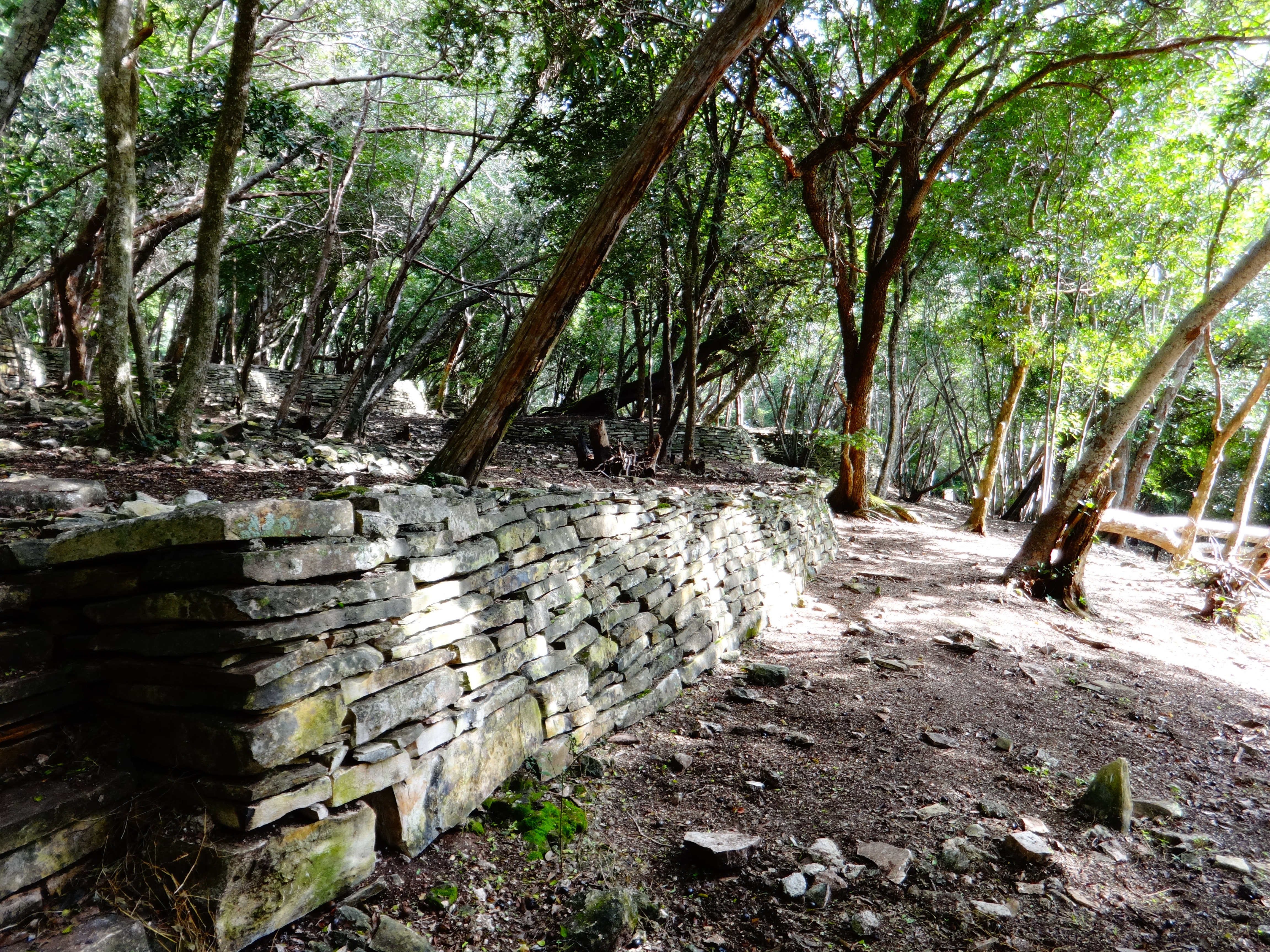
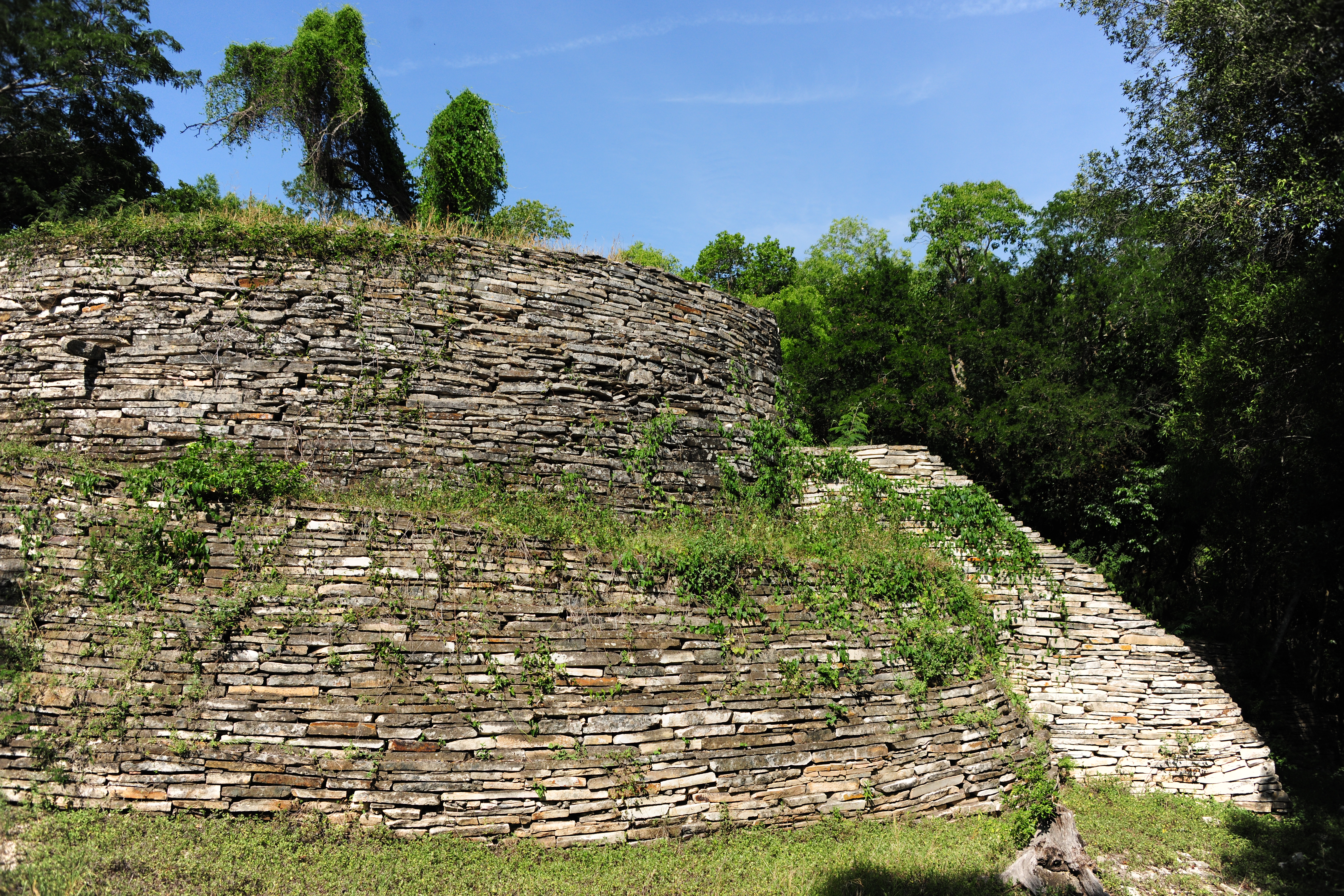
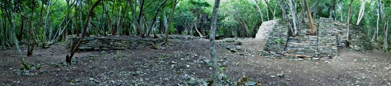
The site is in a hilly region, 1,200 feet above sea level, and it has circular plinths constructed from an earth and stone core carefully clad with slabs. The construction method employed at El Sabinito is adapted to the terrain. Plinths of various diameters and heights were built with connecting terraces and avenues also made from slabs, and at the same time creating a harmonious effect through their constant use. The way they fit into the environment is reminiscent of the walls of the canyons and ravines of the Sierra de Tamaulipas.
The archeological material retrieved in the process of investigation and major maintenance work is of a varied nature: pots, axes, stone and shell beads, projectile tips, figurines, grinding stones (metates) and stone pestles (tejolotes). The archeological material and architecture indicate that in addition to hunting and gathering, the people of El Sabinito often relied on farming activity, and that this was part of the process of becoming sedentary.
- Dirección del Centro INAHTonantzin Bienbenida Silva Cárdenastonantzin_silva@inah.gob.mx+52 (834) 306 0160, ext.368000Administración del Centro INAHMaría Alicia Palomares Garcíaalicia_palomares@inah.gob.mx+52 (834) 306 0160, ext. 36800
Plaza 1
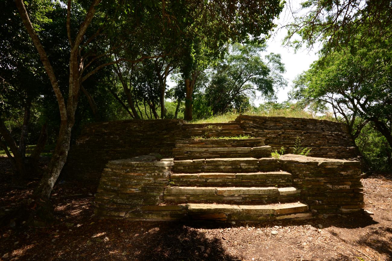
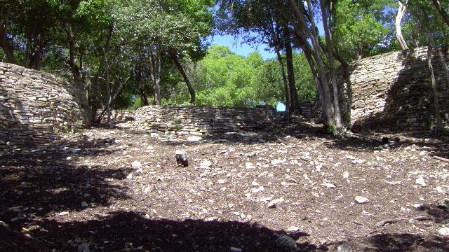
It is located in the highest part, on a terrace. It is oriented in an east-west direction and is delimited by the highest buildings of the site, as well as by retaining walls with stairways to the south that allow access.

It is located in the highest part, on a terrace. It is oriented in an east-west direction and is delimited by the highest buildings of the site, as well as by retaining walls with stairways to the south that allow access.
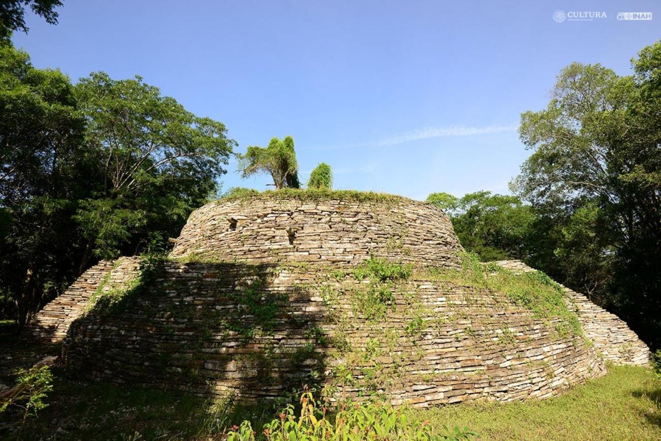
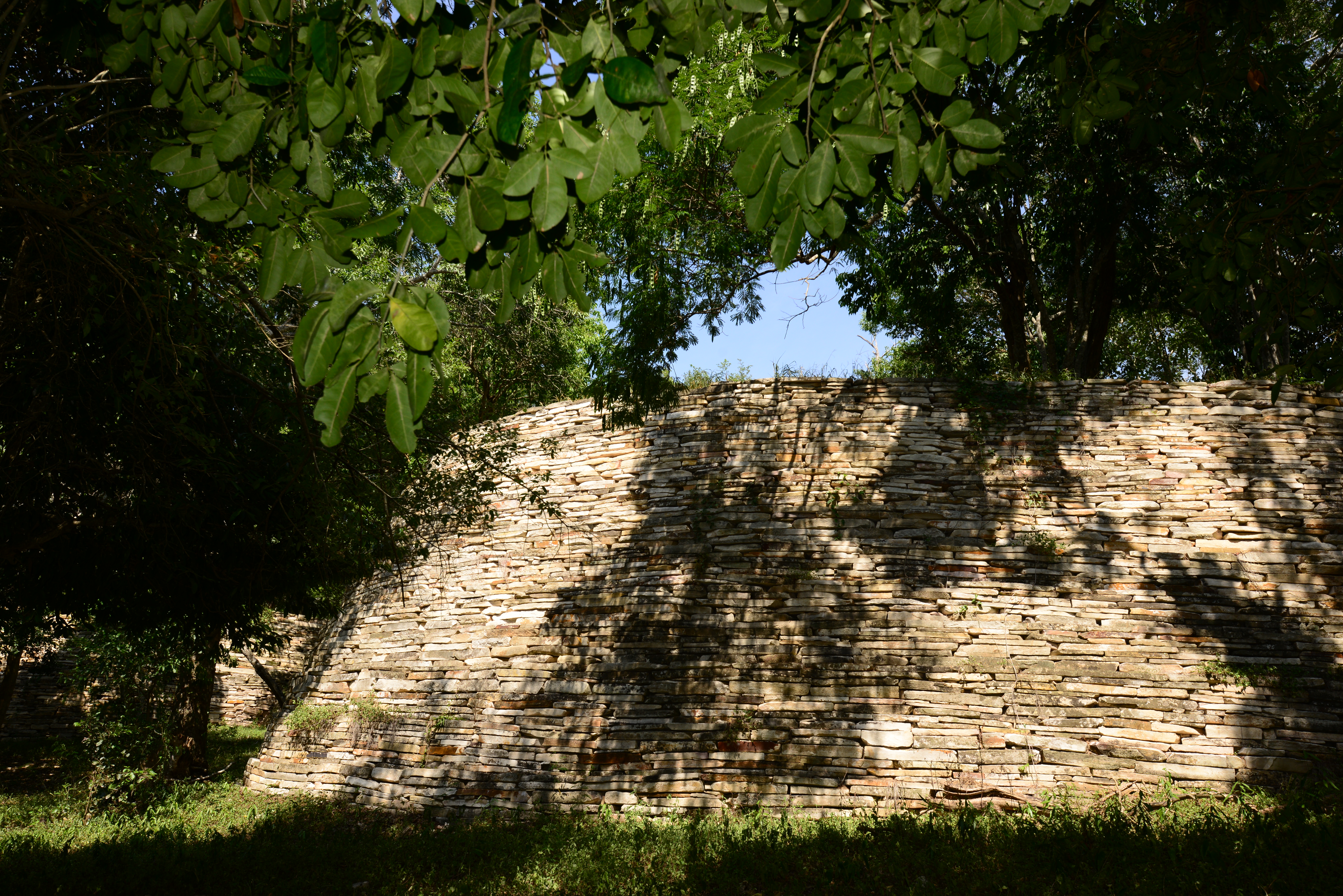
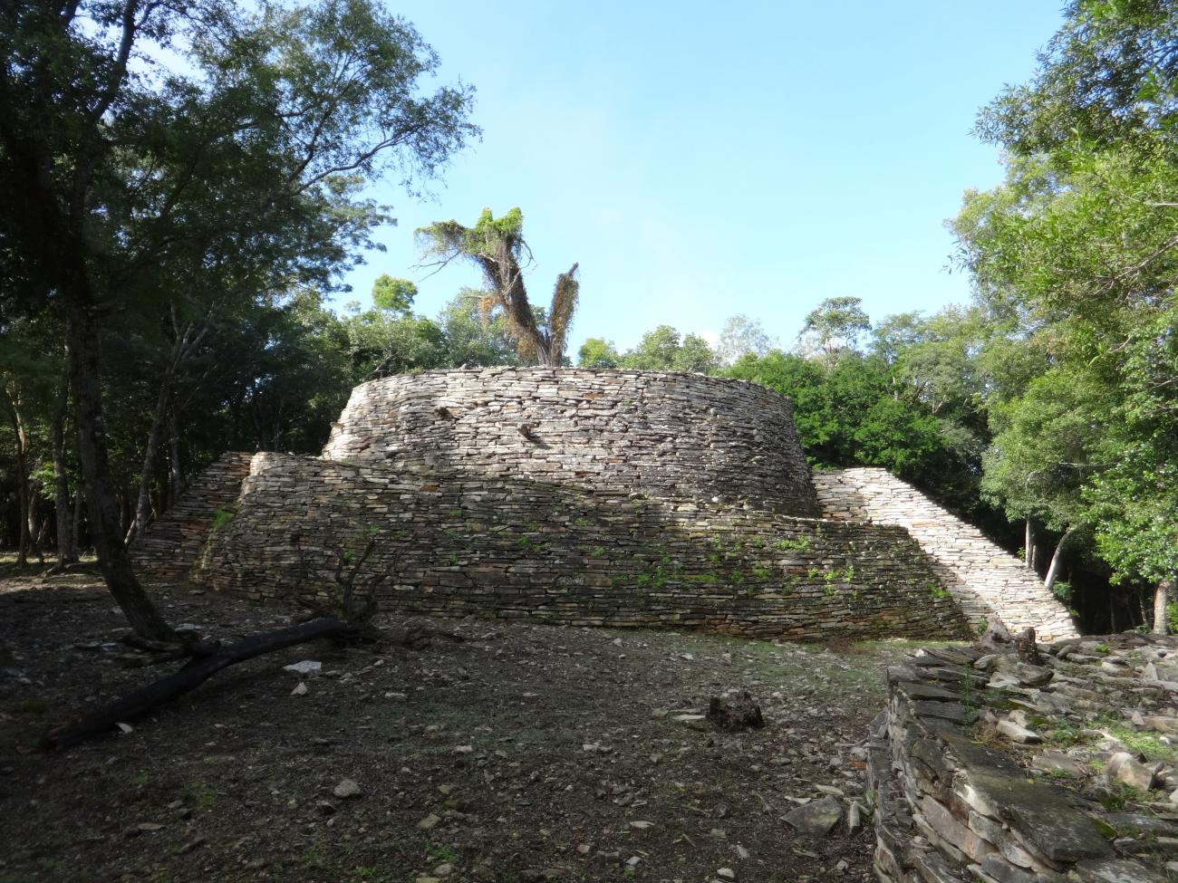
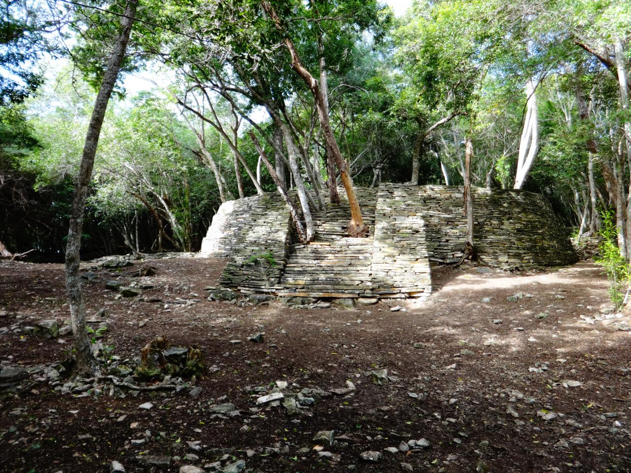
Basement A: Basement A is the highest structure of the site, it has a circular plan covered with limestone slabs, two access stairways located to the north and south delimited by its alfardas, both are interrupted. In the upper part is located another small circular body also covered with flagstone, it presents in its walls saledizas rocks, a construction element called “nail” that serves for the accommodation of stones used to make the building bigger.
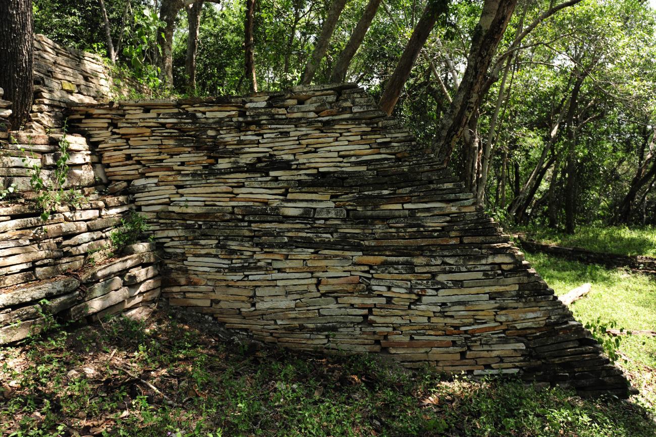
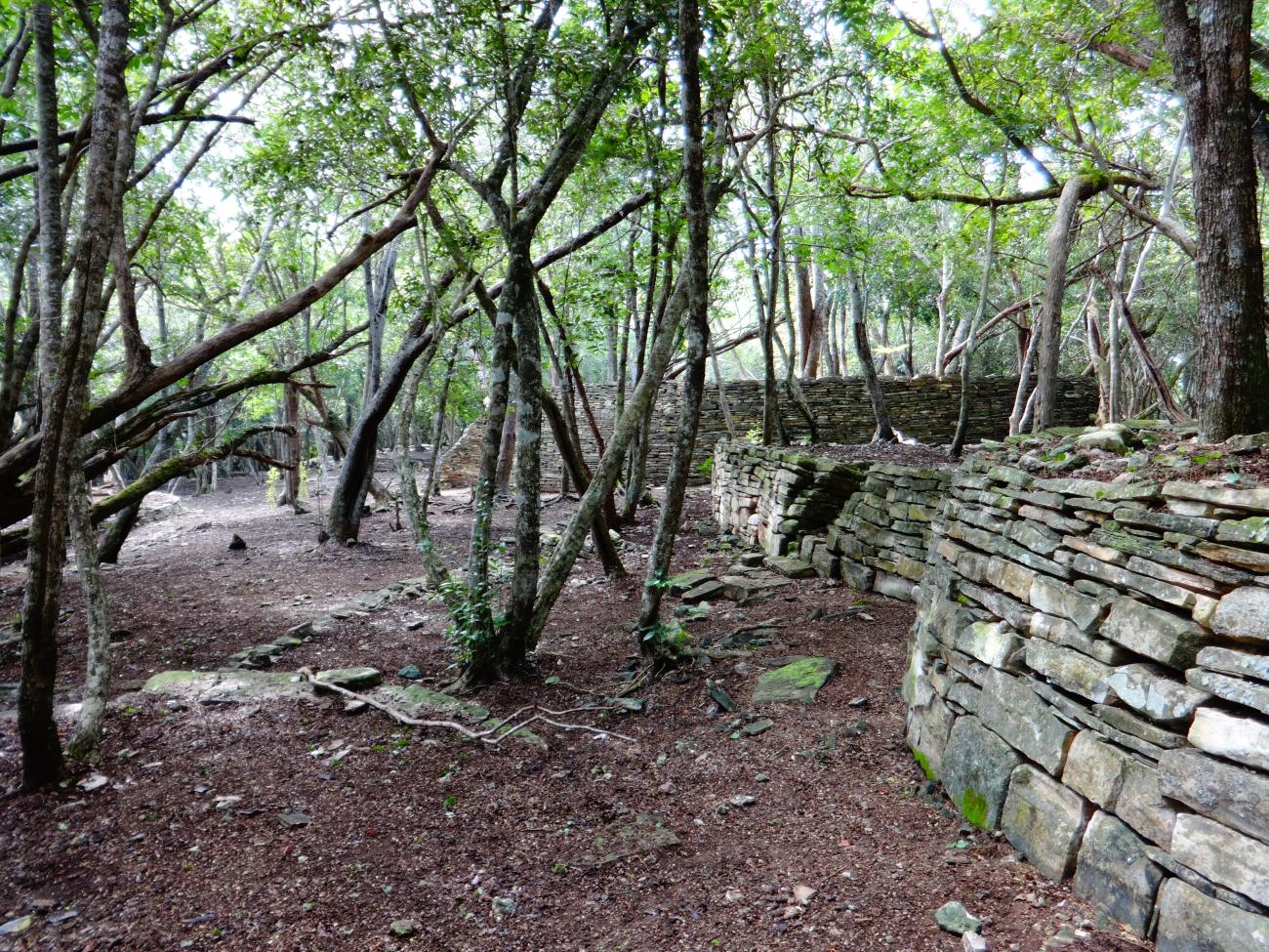
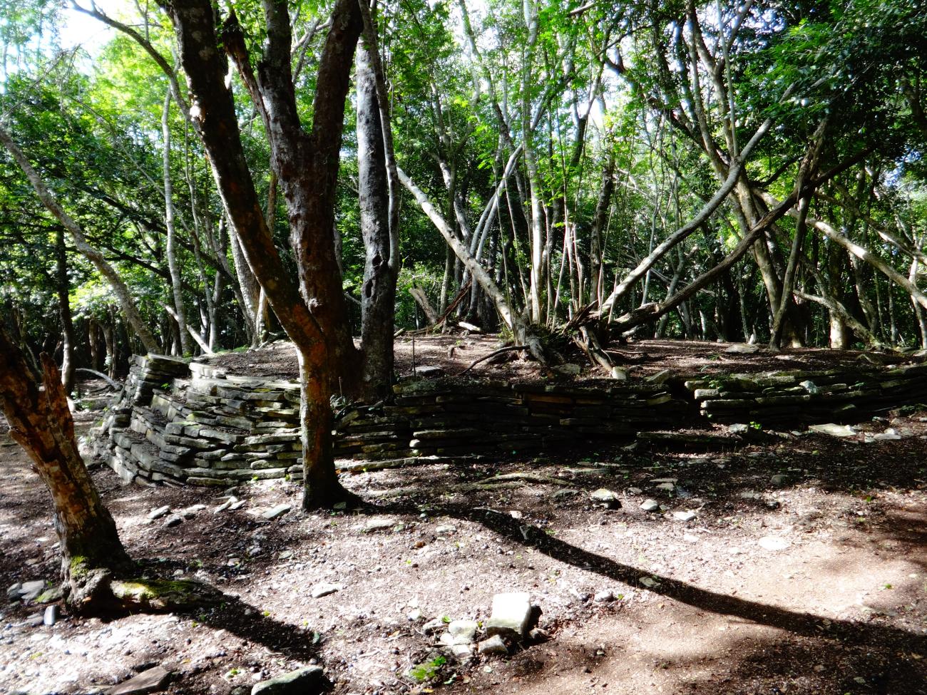
Retaining wall: The buildings in El Sabinito were built on top of a hill, so it was necessary to make modifications and adjustments to level surfaces. They can be observed during the access to Plaza 1.
Plaza 2
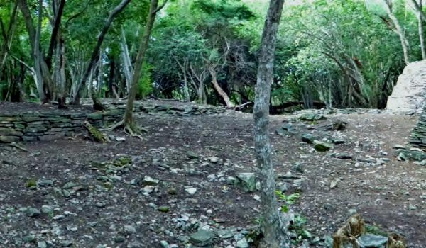
Square 2 is a smaller space located towards the southwestern part of the site where the structure known as Number 50 is located.
Basement 50
Square 2 is a smaller space located towards the southwestern part of the site where the structure known as Number 50 is located.
Basement 50
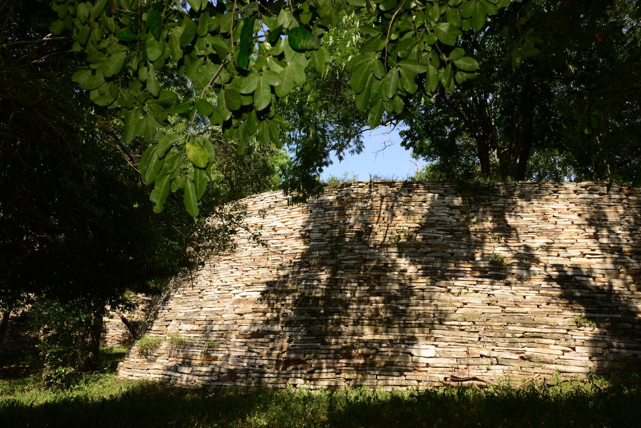
Stone rings: The numerous buildings of circular plan are covered with flagstone placed as rings of wider diameter at the base and narrower at the top. This way of construction was done in order to give stability and solidity to the structures placed at the top of the base.