CACAXTLA
This city was founded in the distant past by the Olmeca-Xicalanca people, but only rose to dominance after the collapse of Teotihuacan and Cholula. Following the decline of the latter, Cacaxtla assumed political control over what is now the Puebla-Tlaxcala region. Cacaxtla flourished between 650-900 AD, during the Late Classic, a period when it established trade links with the Gulf coast and the Valley of Mexico. It acquired great wealth by taking advantage of its strategic location along routes leading to the territories of the modern-day states of Tabasco and Campeche. The site was abandoned in around the year 1000, for reasons that remain uncertain.
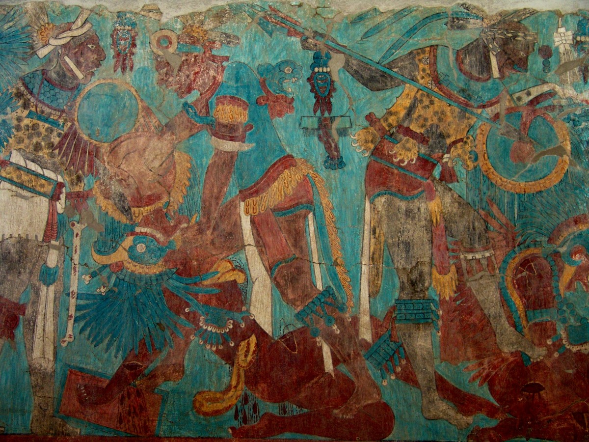
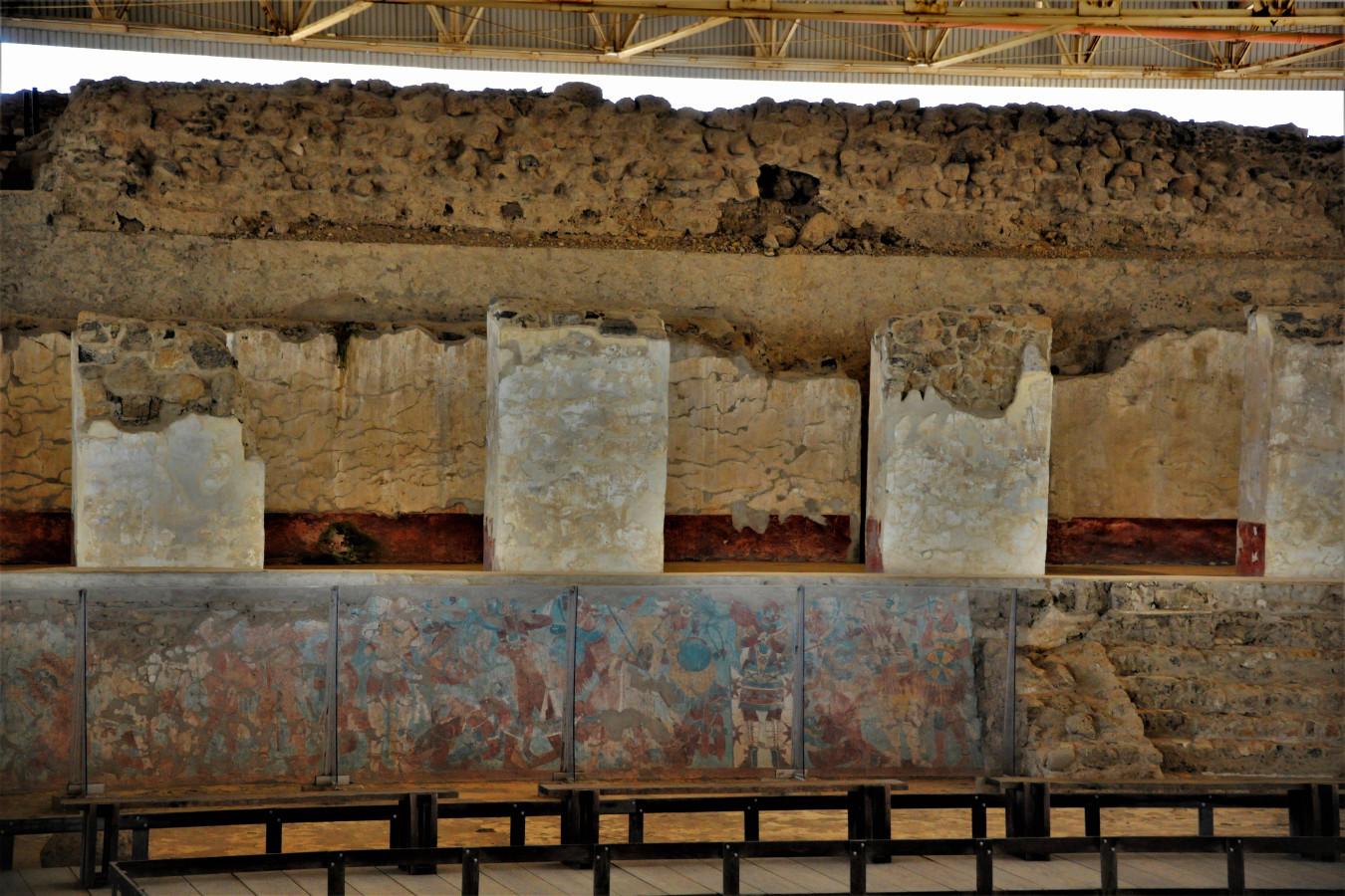
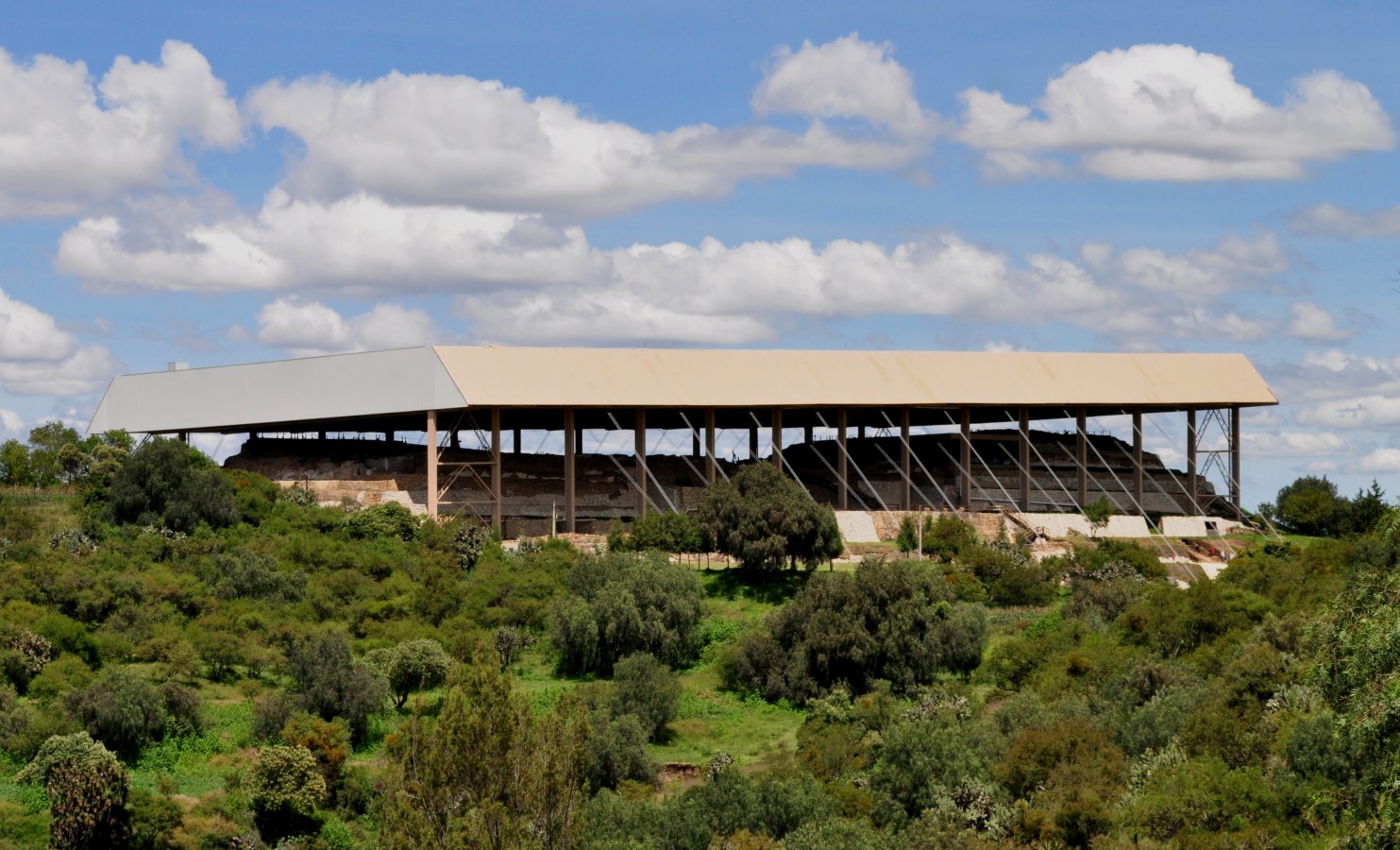
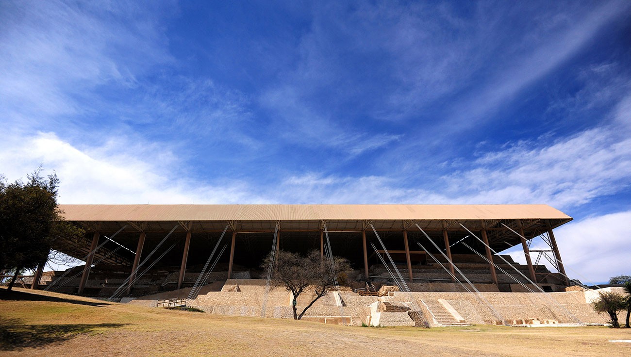
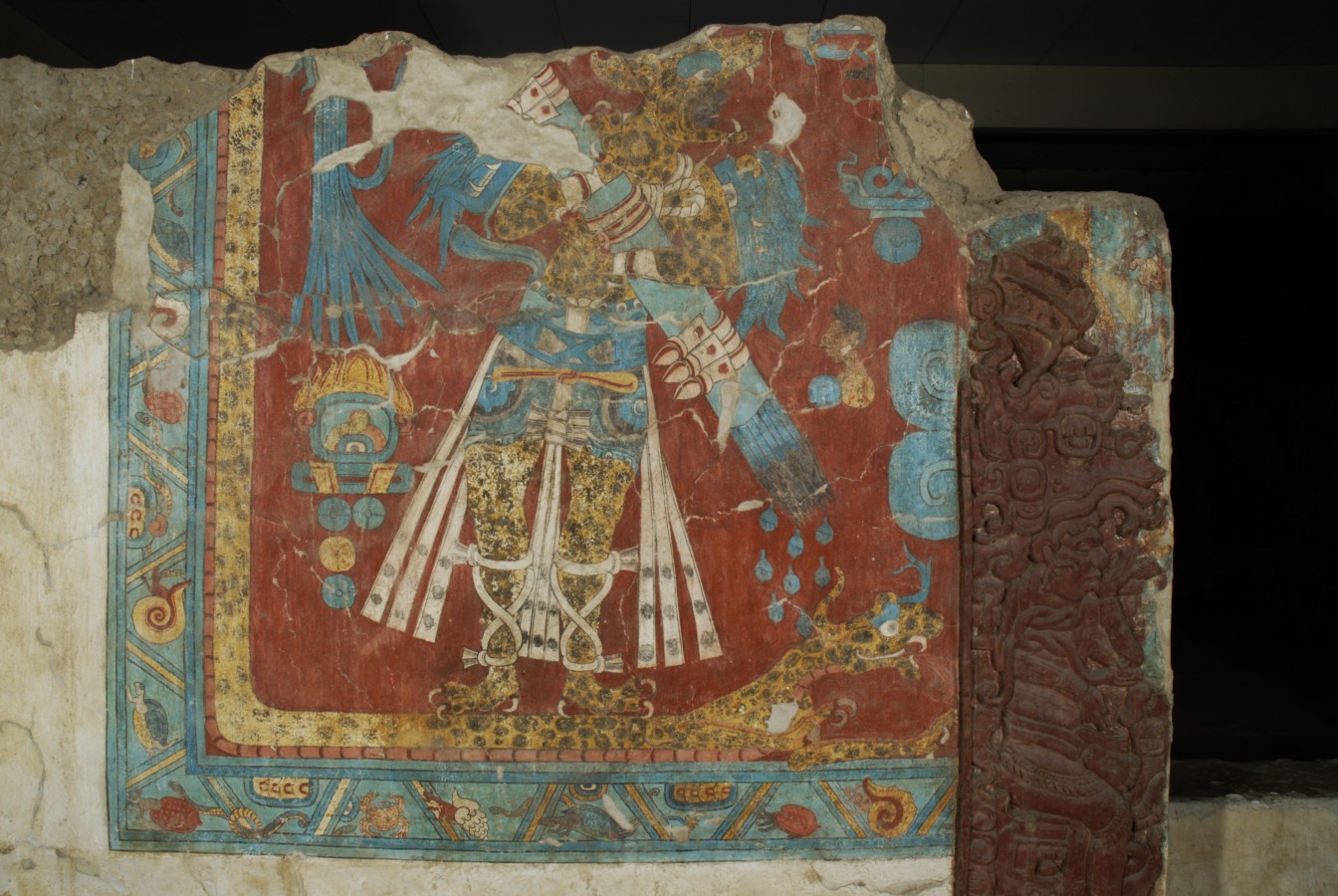
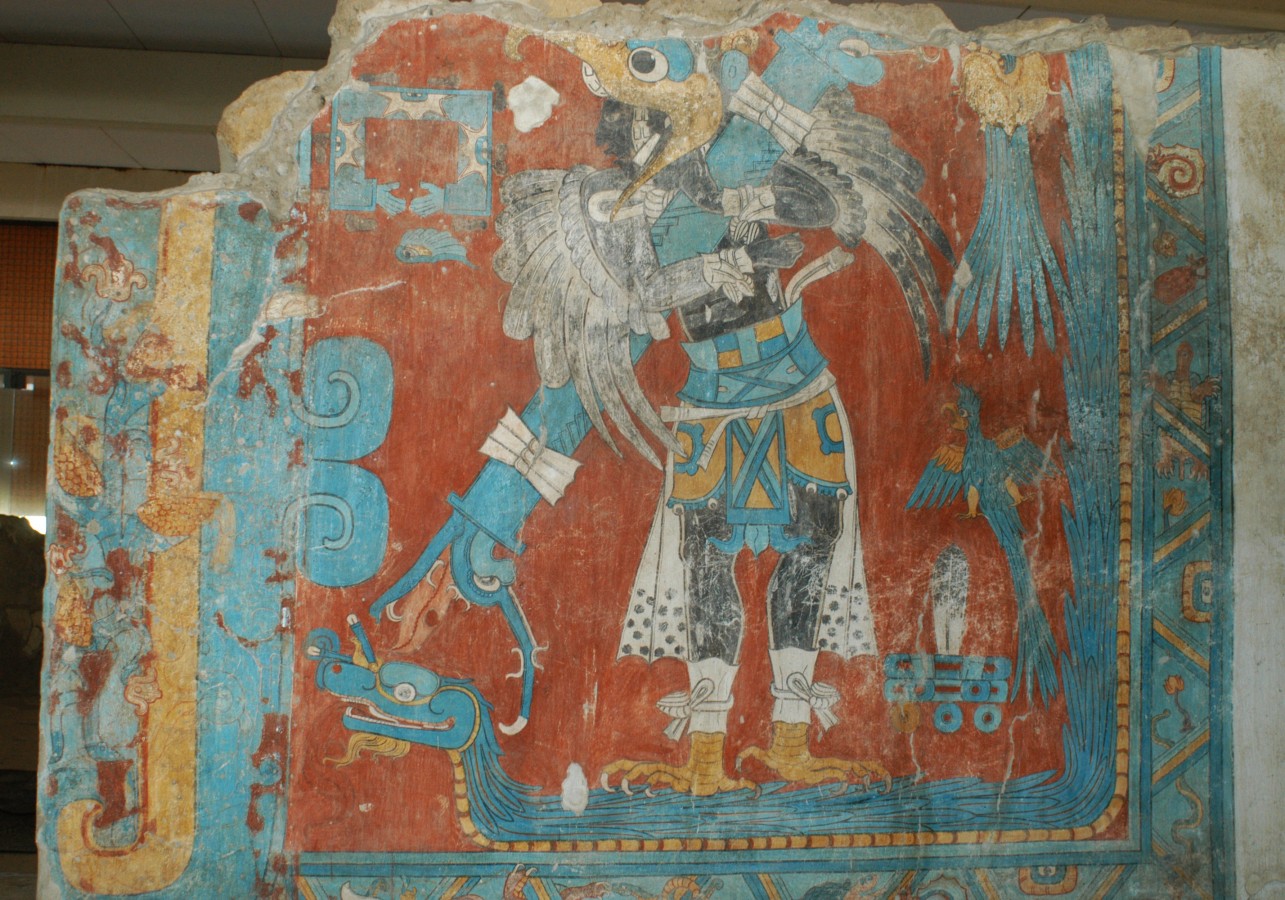
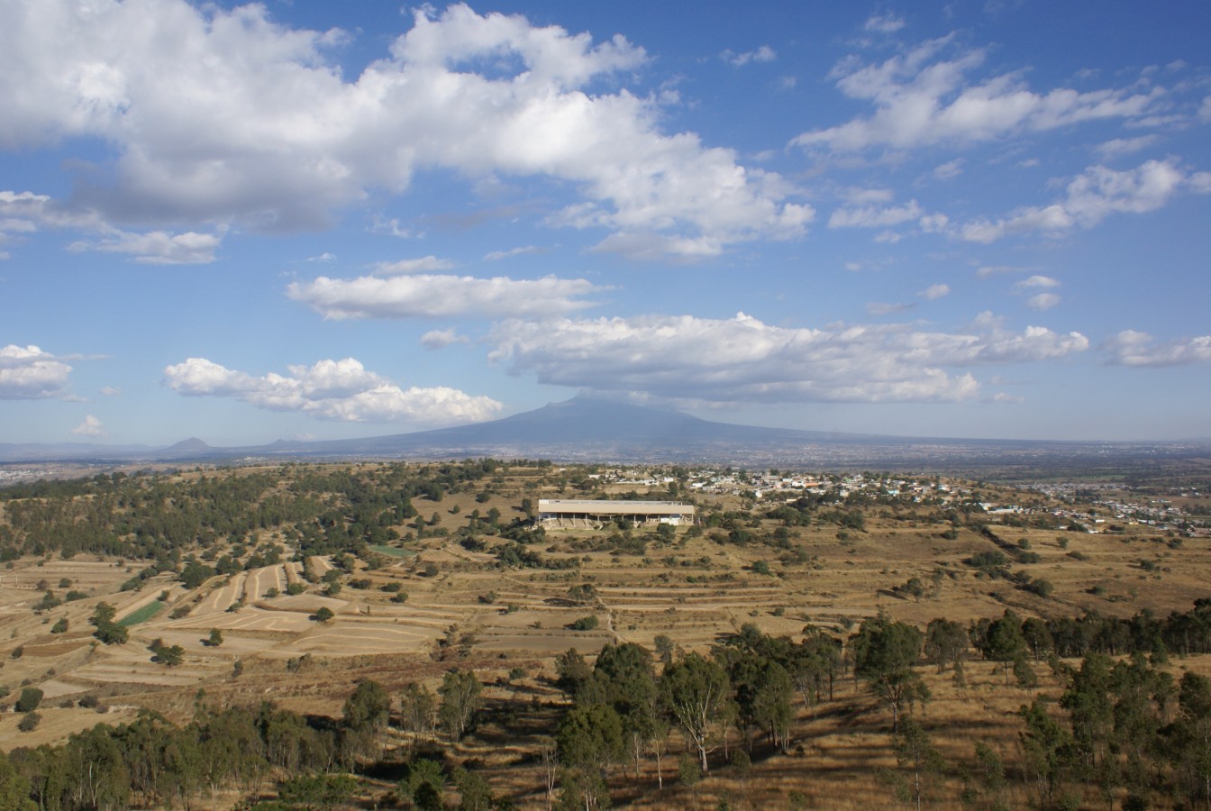
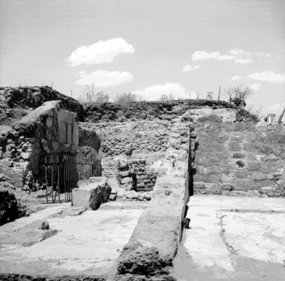
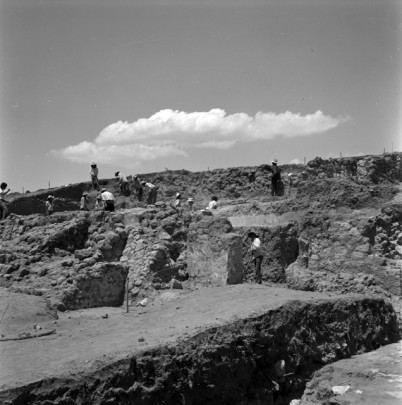
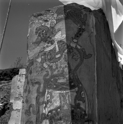
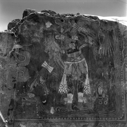
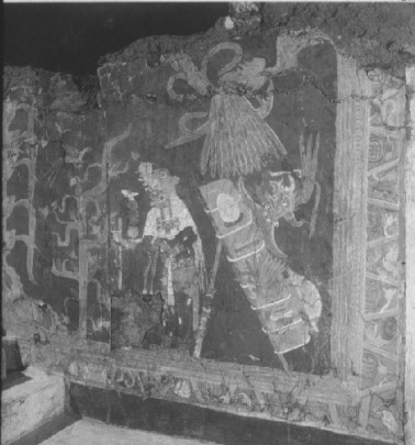
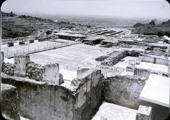
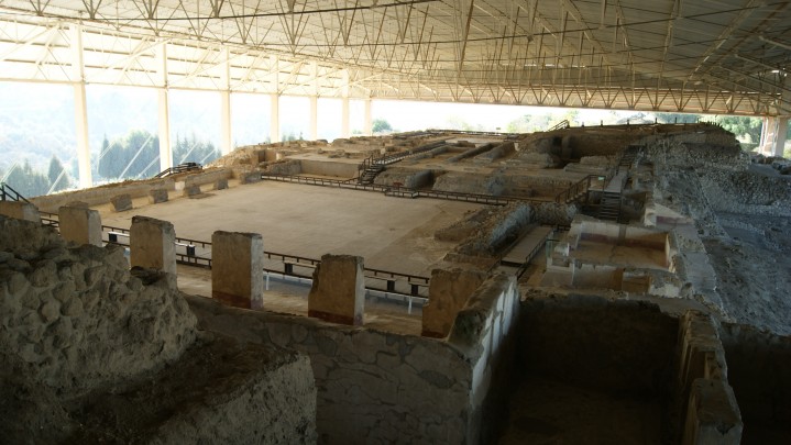
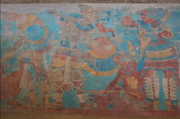
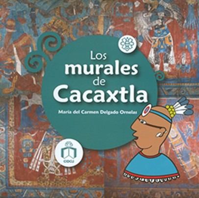
Research by the National Institute of Anthropology and History (INAH) began at the site after it was discovered in the 1970s. The Gran Basamento ("Great Plinth"), measuring 656 feet long and 82 feet high, is one of the most outstanding archeological remains. This large complex of superimposed and interconnected structures (shrines, platforms and pyramids) boasts remarkable mural paintings—made using red, blue, yellow, black and white pigments obtained from kaolin, obsidian, lime and other local minerals—which are truly one-of-a-kind. These murals reveal influences from both the Mayan and Teotihuacan regions and depict motifs related to mythology, religion, war, defeat and peace; there are also highly realistic drawings of nature with symbolic features that have yet to be completely deciphered. The ancient inhabitants’ system of building structures on top of each other has preserved not only the ritual offerings but also these valuable paintings. In the 1980s, an enormous roof, spanning more than 100,000 square feet, was erected over the most important section of the Great Plinth in order to provide protection from the elements.
XOCHITECATL
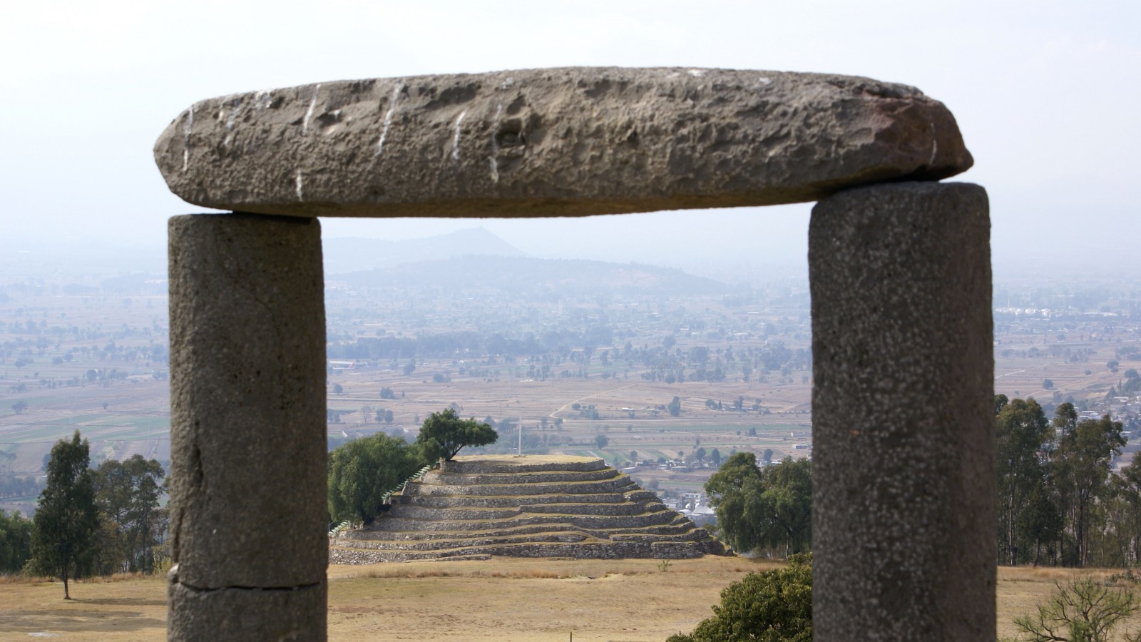
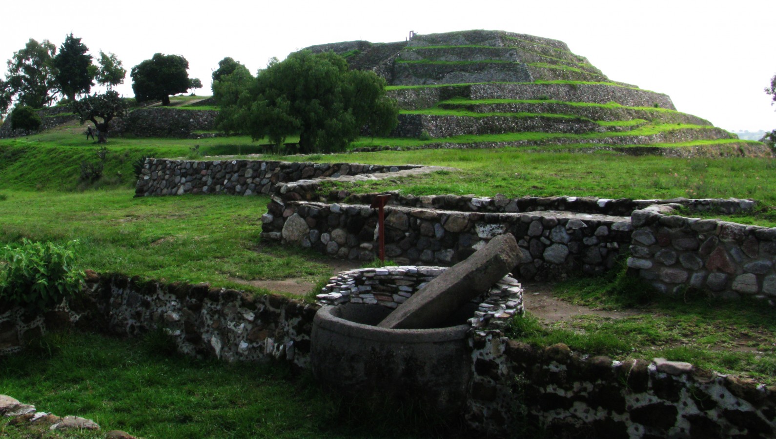
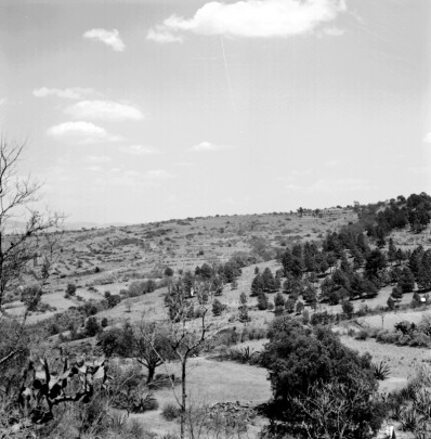
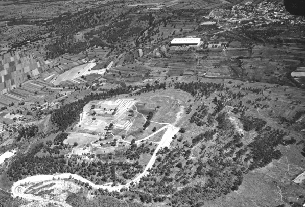
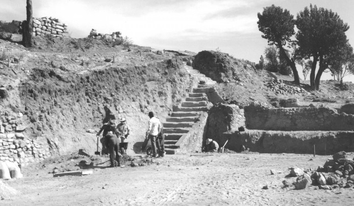
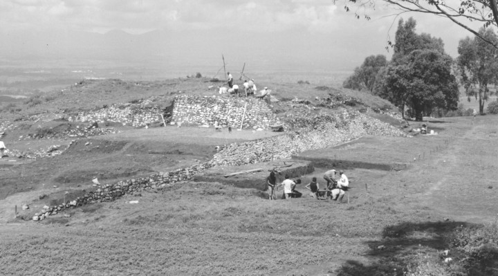
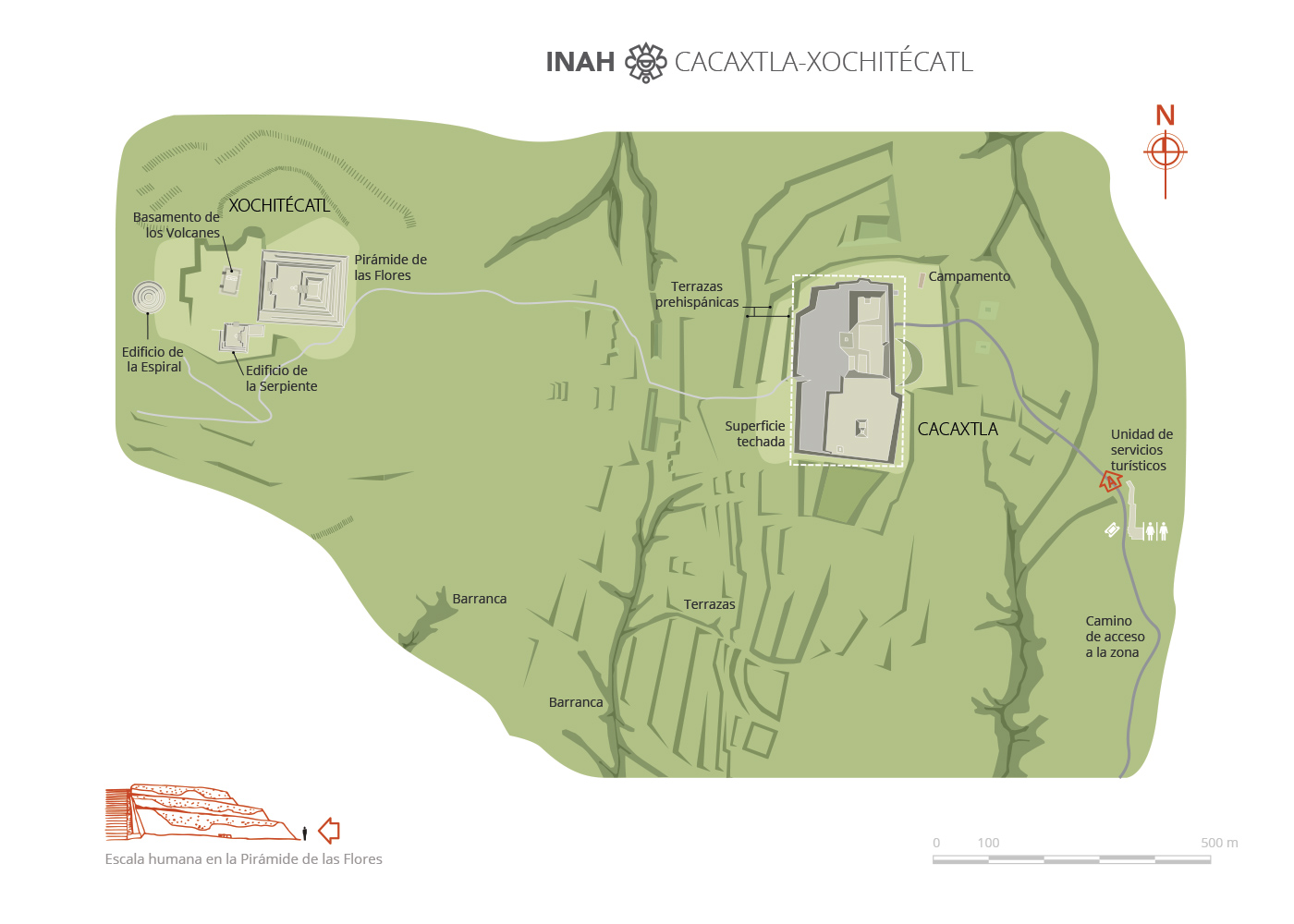
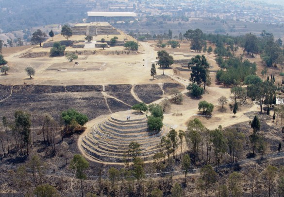
Just over three miles from Cacaxtla and developed mainly between 600 and 100 BC, Xochitecatl was a short-lived ceremonial center for the Olmeca and Xicalanca people. Built on top of the Xochitecatl hill, the architecture was adapted to the hilly terrain with terraces created for houses and land for growing crops. The most important monuments are located on top of the hill: the Pirámide de las Flores ("Pyramid of the Flowers"), the Pirámide de la Serpiente ("Pyramid of the Serpent"), the Pirámide de la Espiral ("Pyramid of the Spiral") and the Basamento de los Volcanes ("Plinth of the Volcanoes").
Xochitecatl is distinguished by the numerous figurines of women depicted as pregnant, giving birth, carrying a child, or with a cavity in their stomach into which a baby could be inserted or taken out. Scholars agree that the ritual setting, the offerings of figurines, human burial sites, and archeo-astronomical features all suggest that the site was a ceremonial center based on a fertility and rainmaking cult, the symbols of which seem to have been conveyed through the female image.
- In the sixteenth century, a chronicler named Muñoz Camargo described the Valley of Tlaxcala for the first time, making this the earliest reference to Cacaxtla-Xochitecatl.
- For 400 years the Cacaxtla-Xochitecatl area was uninhabited as a result of the Popocatépetl volcano’s eruptions, which altered the Puebla-Tlaxcala valley’s ecosystem.
- The murals in this area make reference to astronomical symbols, discourses of legitimization, trade contacts, religious traditions, regional domination, lake fishing, and fertility.
Xochitécatl
- The Map of Cuauhtinchan no. 2 shows the Xochitecatl glyph as a mountain with flowers at its highest point.
- The beautiful figurines of women show their headdresses and clothes, as well as their facial pigmentations.
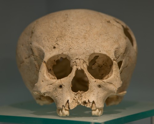
- Key archeological finds include ornaments made of shell, copper and bone, as well as ceramic pieces of various shapes and designs, complete with an outstanding use of different colors.

-
+52 (246) 416 0000
-
This email address is being protected from spambots. You need JavaScript enabled to view it.

